Giffnock Hills and Countryside
A road cycling route starting from Giffnock
Explore the beautiful hills and countryside surrounding Giffnock on this road cycling route.
Map
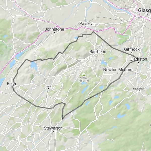
This road cycling route covers a distance of 64km with an ascent of 612m, offering a moderate challenge for road bikers. Highlights of this route include Kingsford, a tranquil village with scenic views, and the Gleniffer Braes, a nature park offering stunning vistas of the surrounding countryside.
road
64 km
612 m
Tough
Route profile
Highlights on the route
0 km
0 km
Start: Clarkston City centerGiffnock: Exploring urban and rural routes in Giffnock on a bike
Giffnock is a locality located in West Central Scotland, United Kingdom. As a road and gravel cyclist, Giffnock offers a mix of urban and rural routes. The local roads are generally well-maintained, making it suitable for various types of rides. The nearby Mearns Road is known for its challenging hill climb, attracting cyclists looking for a test of their climbing skills. Giffnock receives a ranking of 3 for its cycling-friendly environment and challenging hill climb options.0 km
0 km
ClarkstonTown0 km
0 km
Aidans Brae ViewpointViewpoint16 km
16 km
KingsfordVillageMarvel at the beautiful landscapes as you pass through Kingsford, a charming rural village.
25 km
25 km
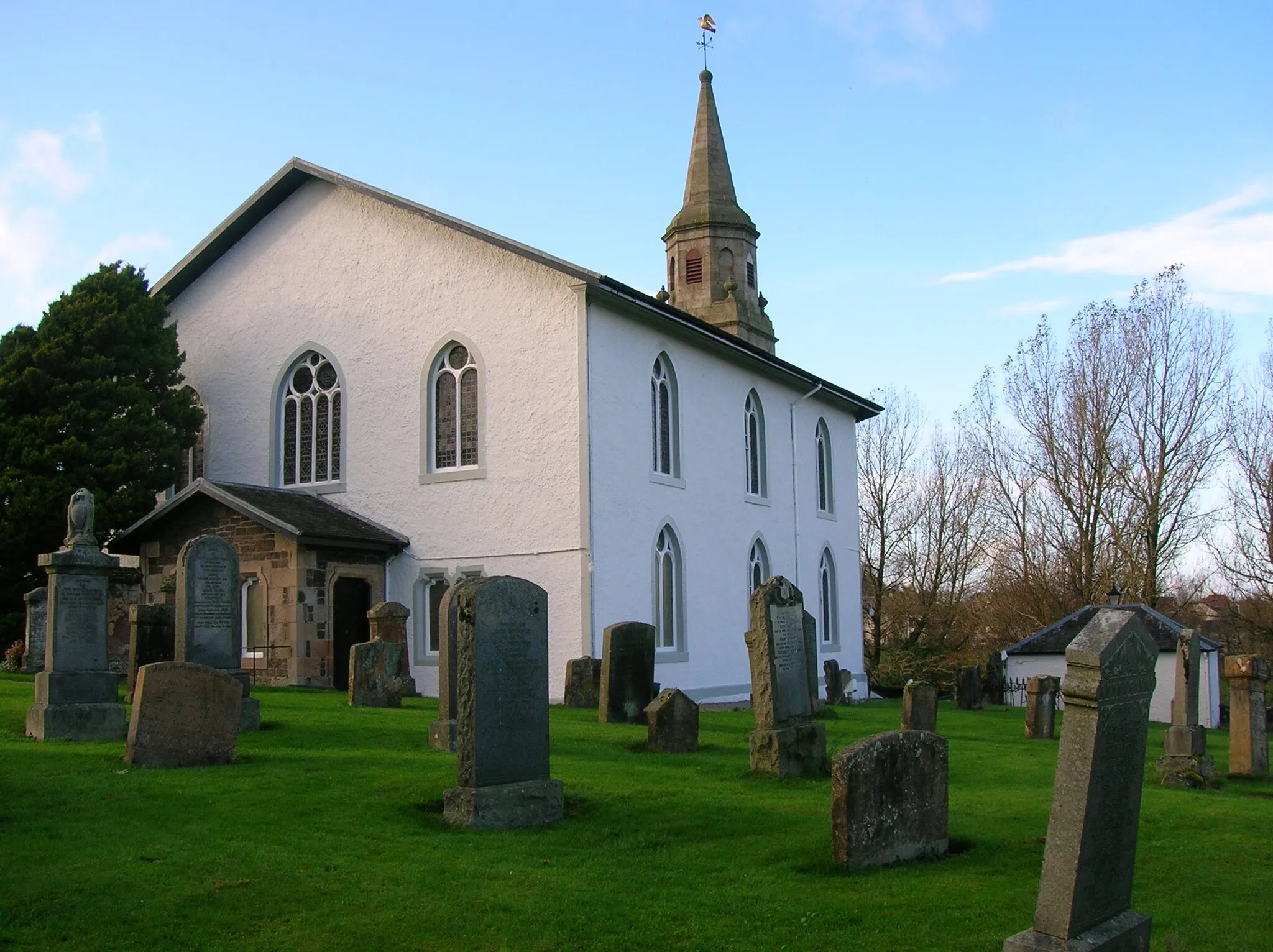
DunlopVillageCycle through Dunlop, a historic village with picturesque streets and well-preserved architecture.
33 km
33 km
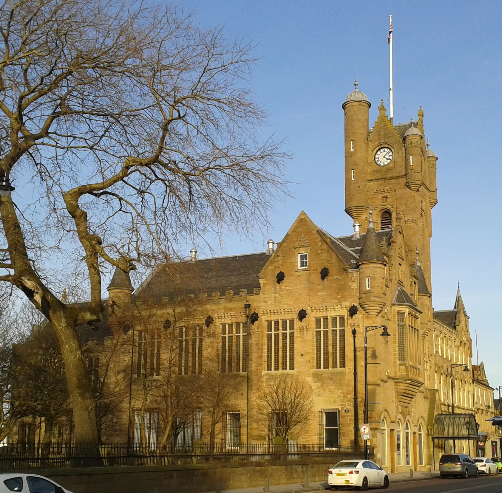
BeithTownPass through the market town of Beith, known for its historic buildings and local boutiques.
49 km
49 km
FoxbarSub-urbExperience the tranquility of Foxbar, a peaceful residential area with green spaces and parks.
50 km
50 km
Gleniffer BraesViewpointReach the summit of Gleniffer Braes and take in the breathtaking panoramic views of the hills and countryside.
62 km
62 km
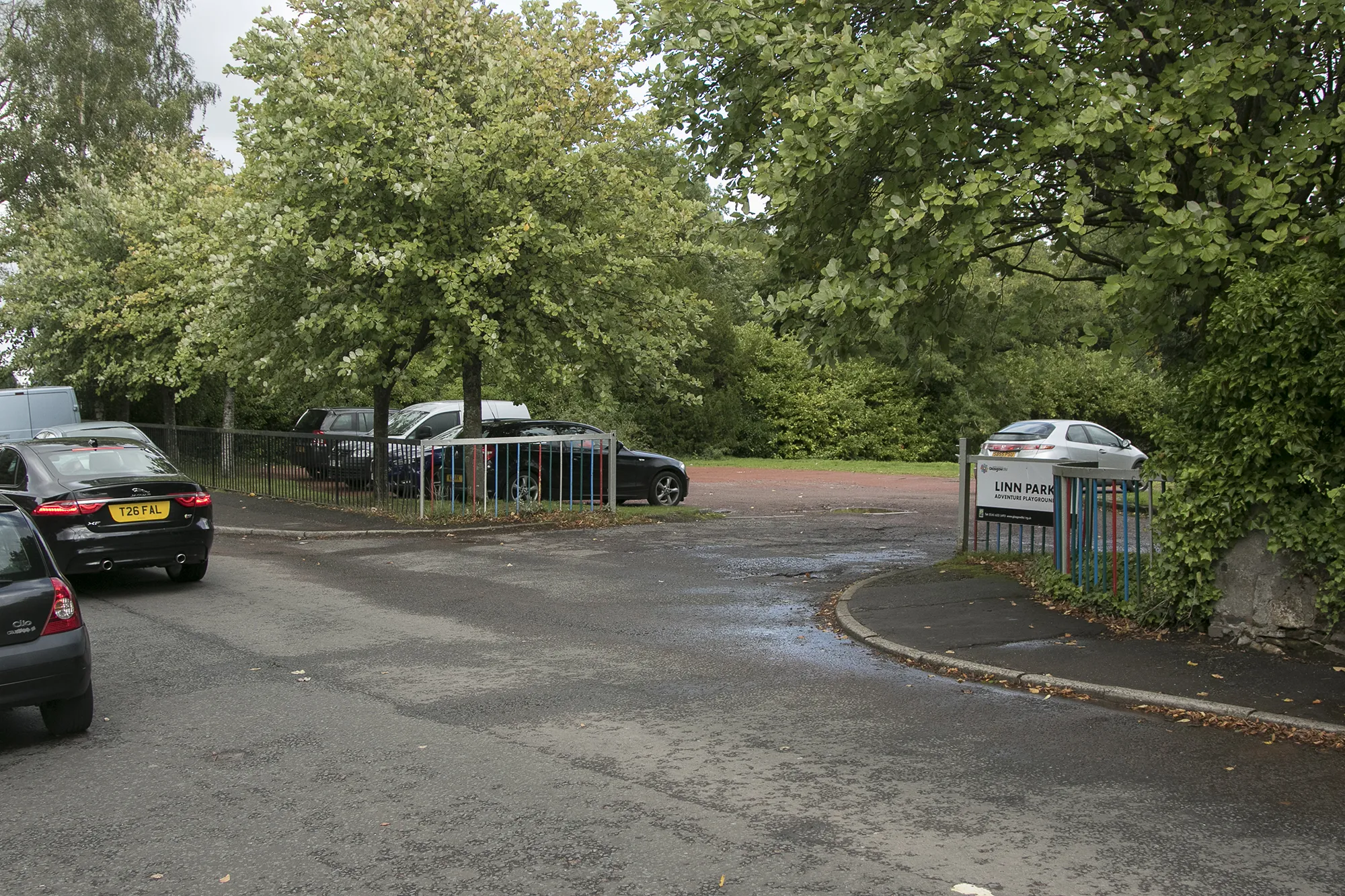
GiffnockTownDiscover Giffnock, a suburban town with parks, shops, and an abundance of outdoor activities.
64 km
64 km
Finish: Clarkston City centerGiffnock: Exploring urban and rural routes in Giffnock on a bike
Cycling routes from Giffnock:
Gravel Adventure: Giffnock to Newton Mearns Giffnock to East Kilbride Loop Giffnock to Newton Mearns Gravel Adventure Discovering East Kilbride Gravel Route Giffnock to Motherwell Loop Challenging Road Adventure: Rutherglen to Eaglesham Giffnock Hills and Countryside Giffnock to Aidans Brae Loop Giffnock to Strathaven Loop Giffnock and the South Clydesdale Loop Challenging Ride through West Central Scotland Exploring Giffnock's Surroundings
Cycling routes nearby: