Gravel Adventure
A gravel cycling route starting from Bihorel
Discover the rugged gravel roads surrounding Bihorel
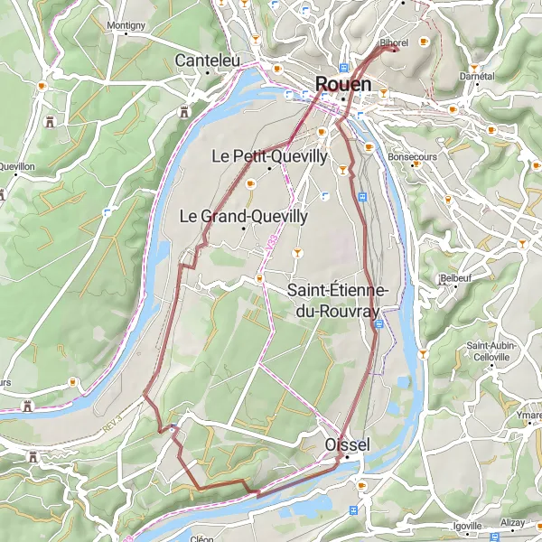
Map
Experience the thrill of riding on unpaved paths and trails as you explore the picturesque countryside near Bihorel. This route offers a mix of challenging ascents and exhilarating descents, making it perfect for adventure-seeking cyclists.
gravel
41 km
334 m
Tough
Route profile
Highlights on the route
0 km
0 km
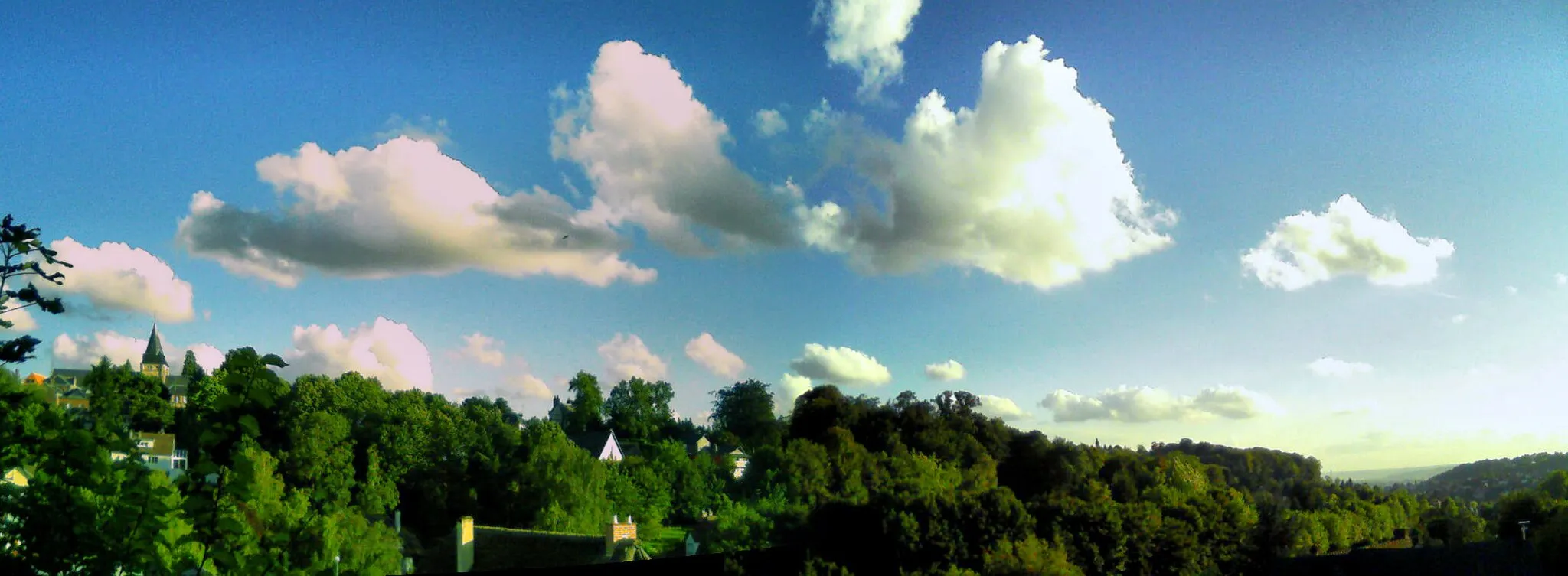
Start: Bihorel Village centerBihorel: Cycling paradise in Haute-Normandie
Bihorel is a town in the Haute-Normandie region of France. It offers a mix of road and gravel cycling opportunities, with scenic routes winding through the picturesque countryside. While Bihorel doesn't have any specifically famous cycling spots or climbs within close proximity, it serves as a convenient base for exploring the surrounding area. Cyclists can venture out on the challenging climbs of Montmain and Mont-Saint-Aignan, both located nearby.0 km
0 km
BihorelVillageStart your ride from Bihorel and soak in the beautiful surroundings.
14 km
14 km
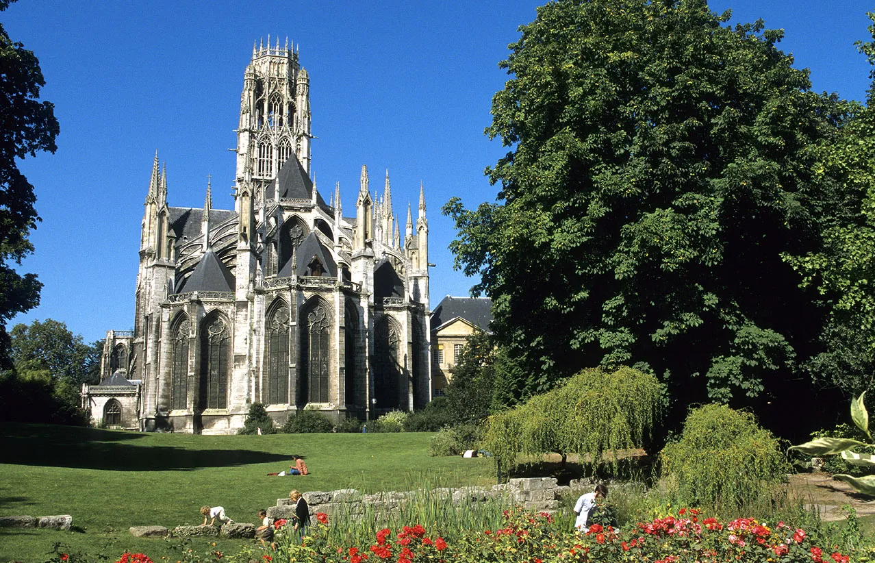
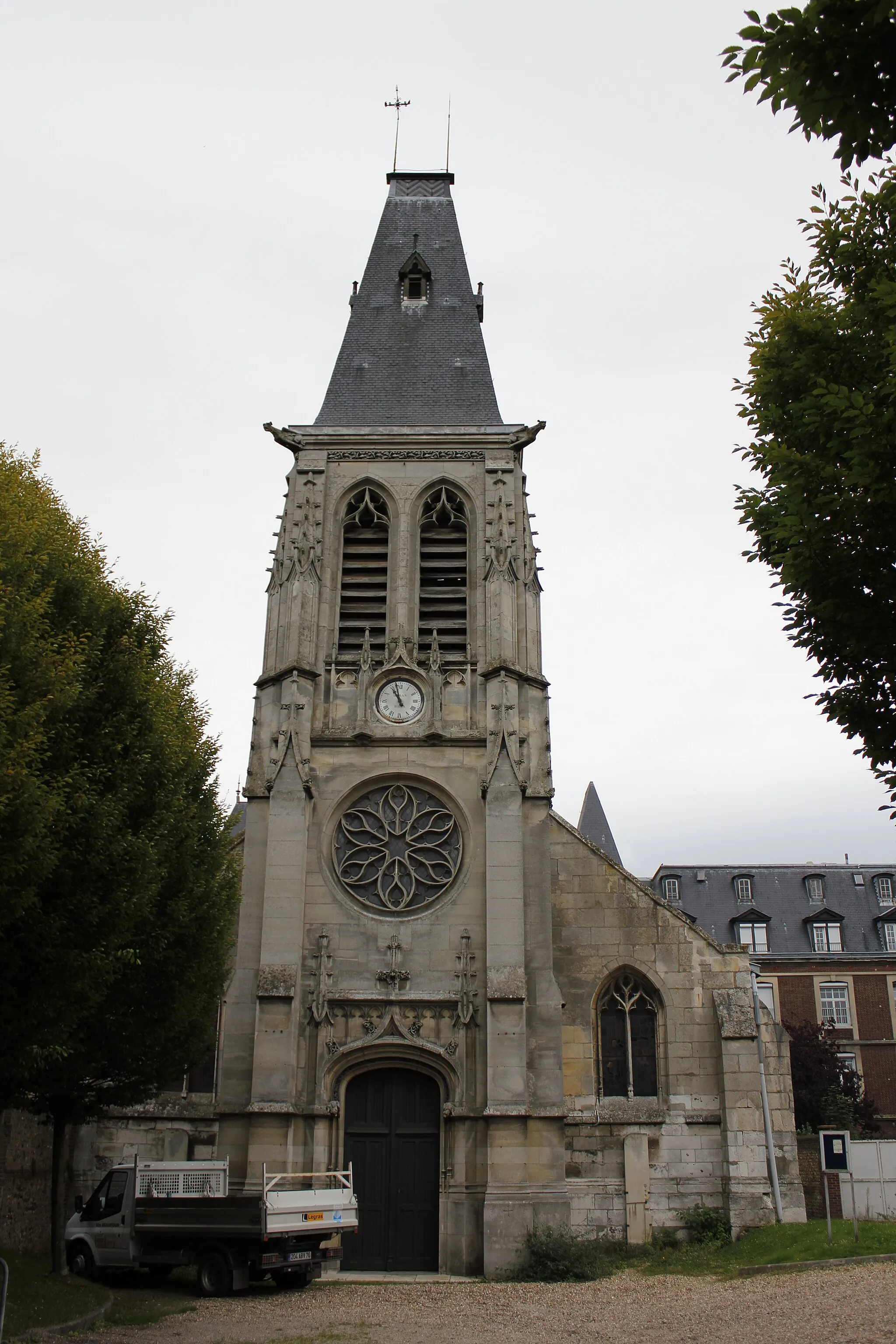
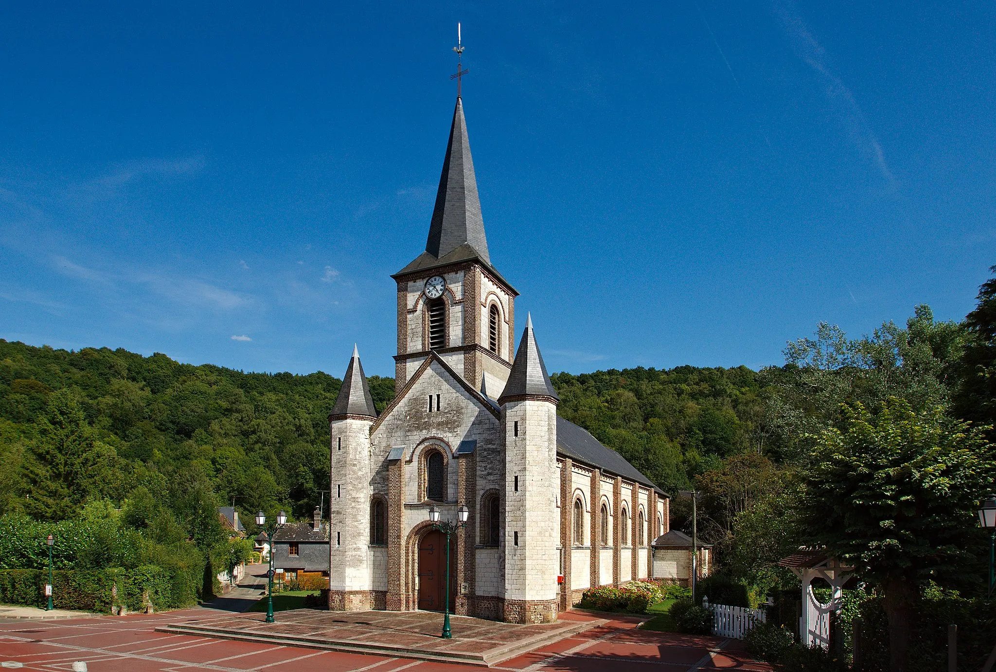
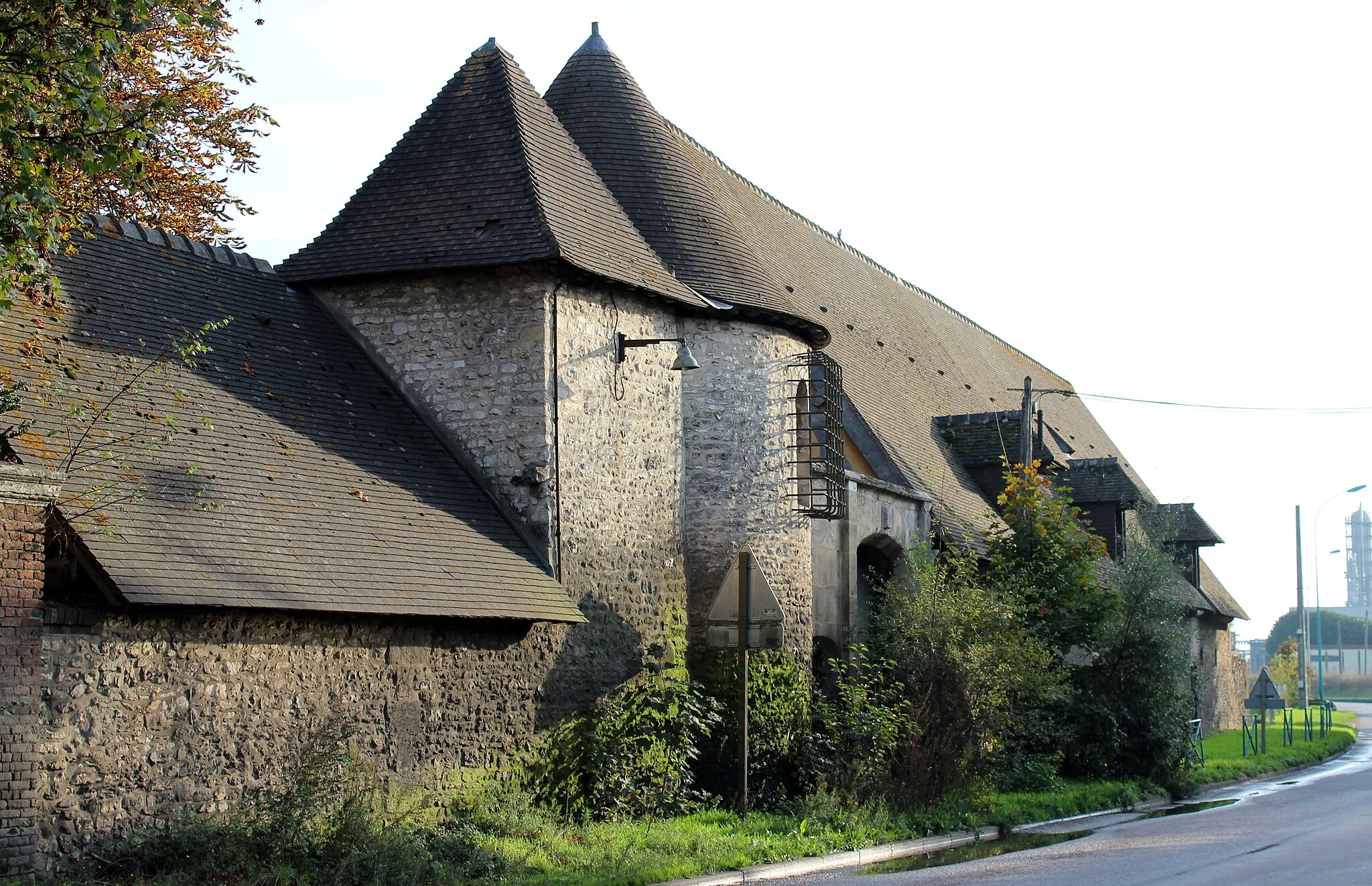
OisselTownMake a stop in Oissel and admire its charming architecture.
15 km
15 km
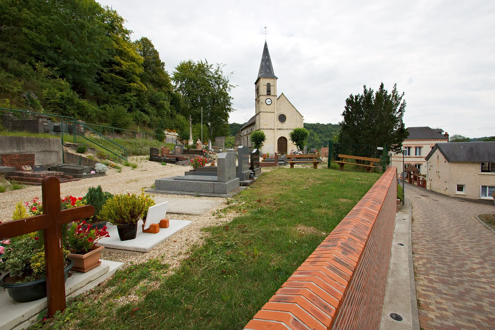
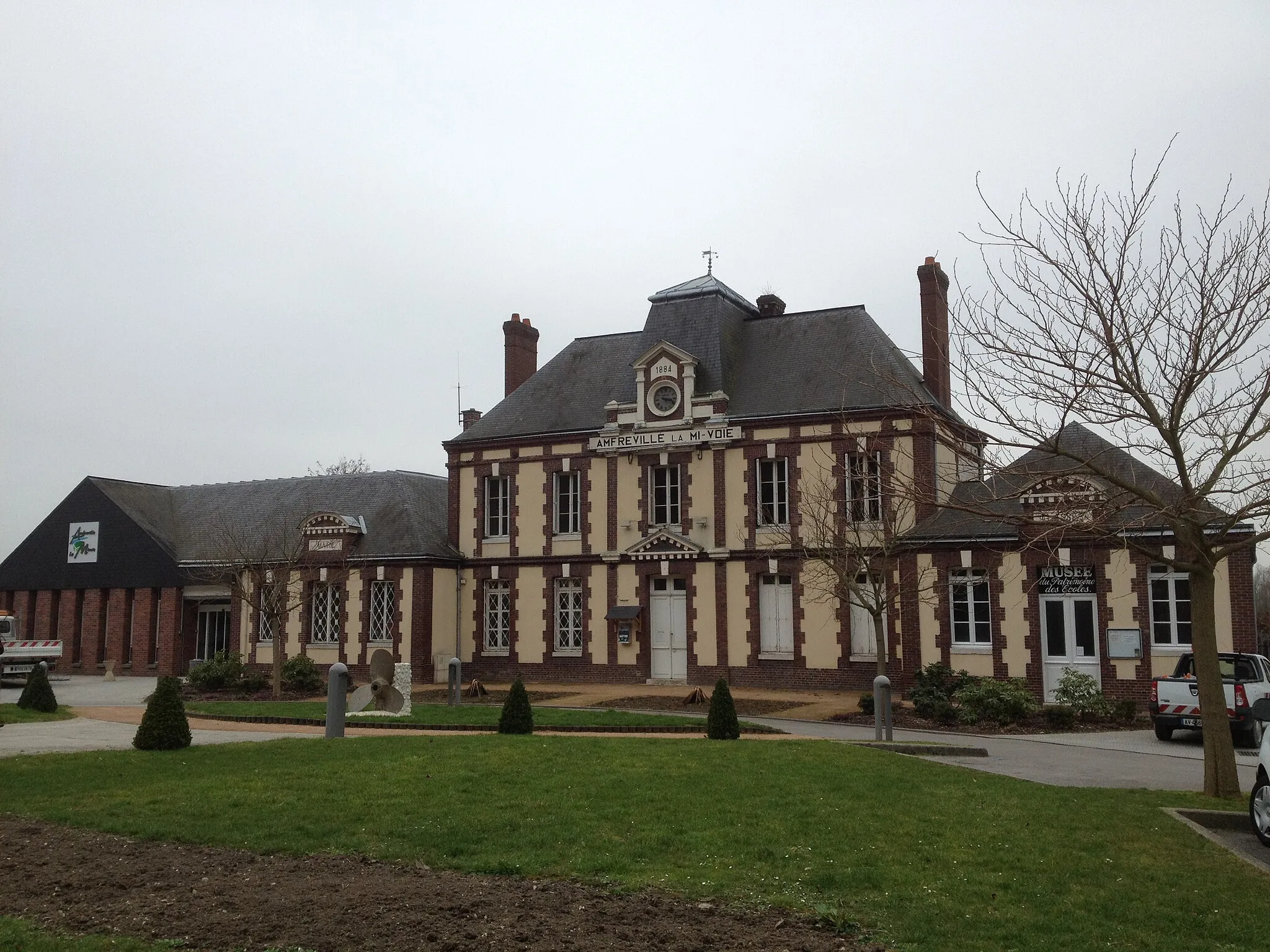
Mairie OisselViewpointVisit the town hall in Oissel known for its rich history.
34 km
34 km
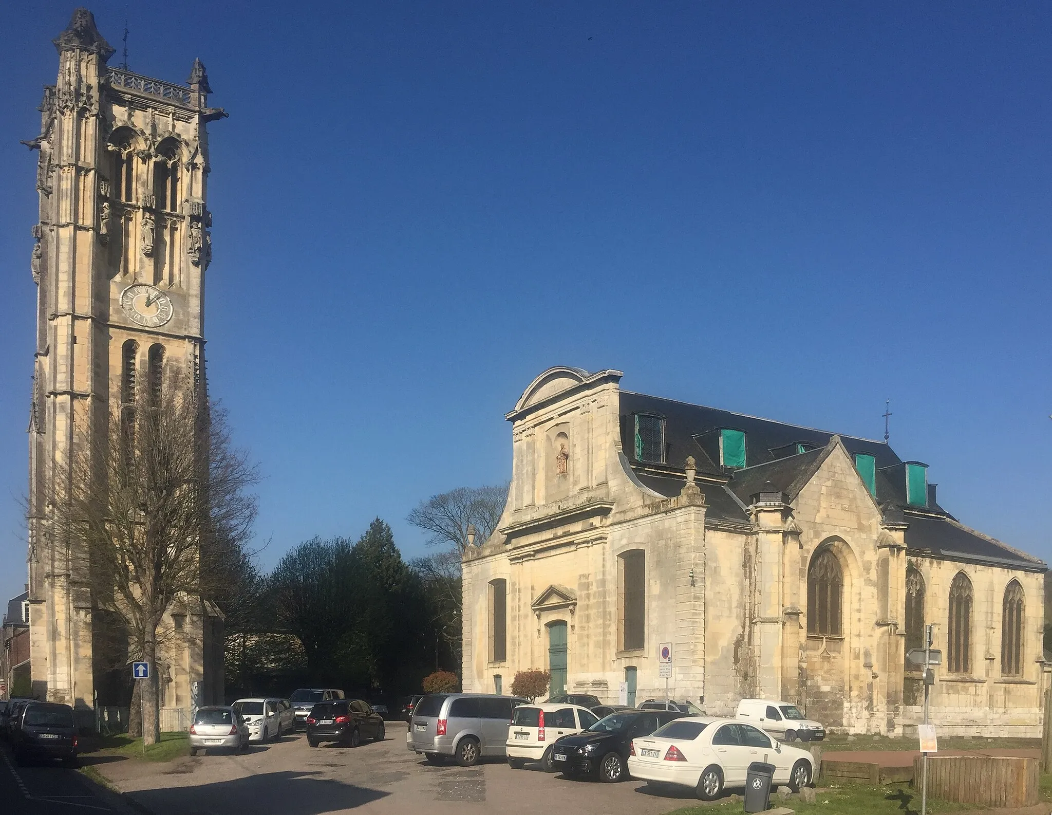
Le Petit-QuevillyTownPass through Le Petit-Quevilly and discover its vibrant atmosphere.
40 km
40 km
Mont Fortin144 mPeakClimb Mont Fortin and enjoy panoramic views of the region.
41 km
41 km
Finish: Bihorel Village centerBihorel: Cycling paradise in Haute-Normandie
Cycling routes nearby: