Climbs and Views in Haute-Normandie
A road cycling route starting from Bihorel
Challenge yourself on this road cycling route featuring climbs and stunning views in Haute-Normandie.
Map
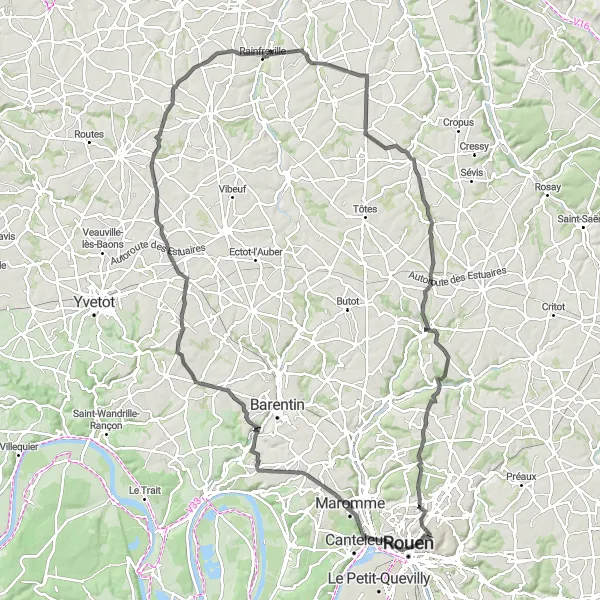
This 116 km road cycling route is perfect for those looking for challenging climbs and breathtaking views. With a total ascent of 1033 meters, it is suitable for well-trained amateur cyclists. Highlights of this route include the panoramic view from Mont-Saint-Aignan, the charm of Maromme, and the scenic beauty of Croix-Mare. Other attractions along the way include Grémonville, Vénestanville, Belmesnil, and Bosc-Guérard-Saint-Adrien. This route provides a moderately difficult cycling experience, rewarding cyclists with stunning landscapes and memorable viewpoints.
road
116 km
1033 m
Tough
Route profile
Highlights on the route
0 km
0 km
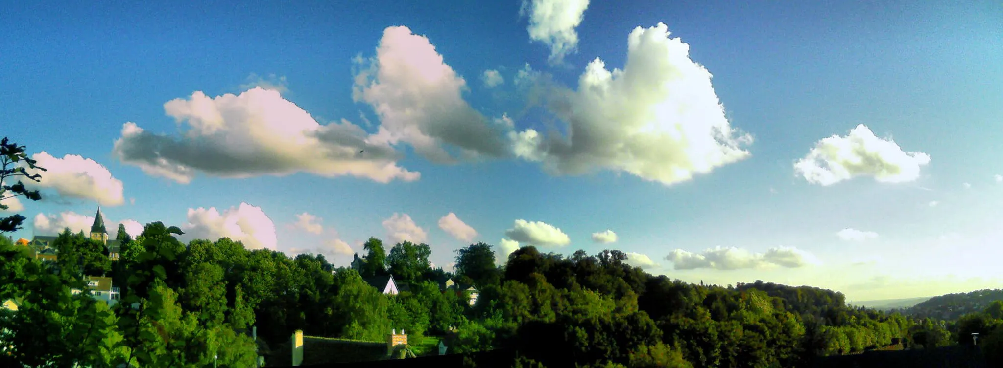
Start: Bihorel Village centerBihorel: Cycling paradise in Haute-Normandie
Bihorel is a town in the Haute-Normandie region of France. It offers a mix of road and gravel cycling opportunities, with scenic routes winding through the picturesque countryside. While Bihorel doesn't have any specifically famous cycling spots or climbs within close proximity, it serves as a convenient base for exploring the surrounding area. Cyclists can venture out on the challenging climbs of Montmain and Mont-Saint-Aignan, both located nearby.4 km
4 km
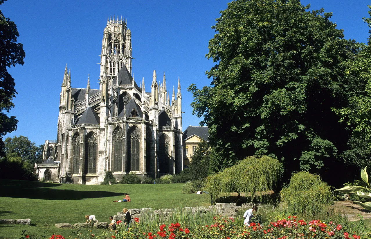
Panorama de Mont-Saint-AignanViewpointEnjoy the panoramic views from Mont-Saint-Aignan.
9 km
9 km
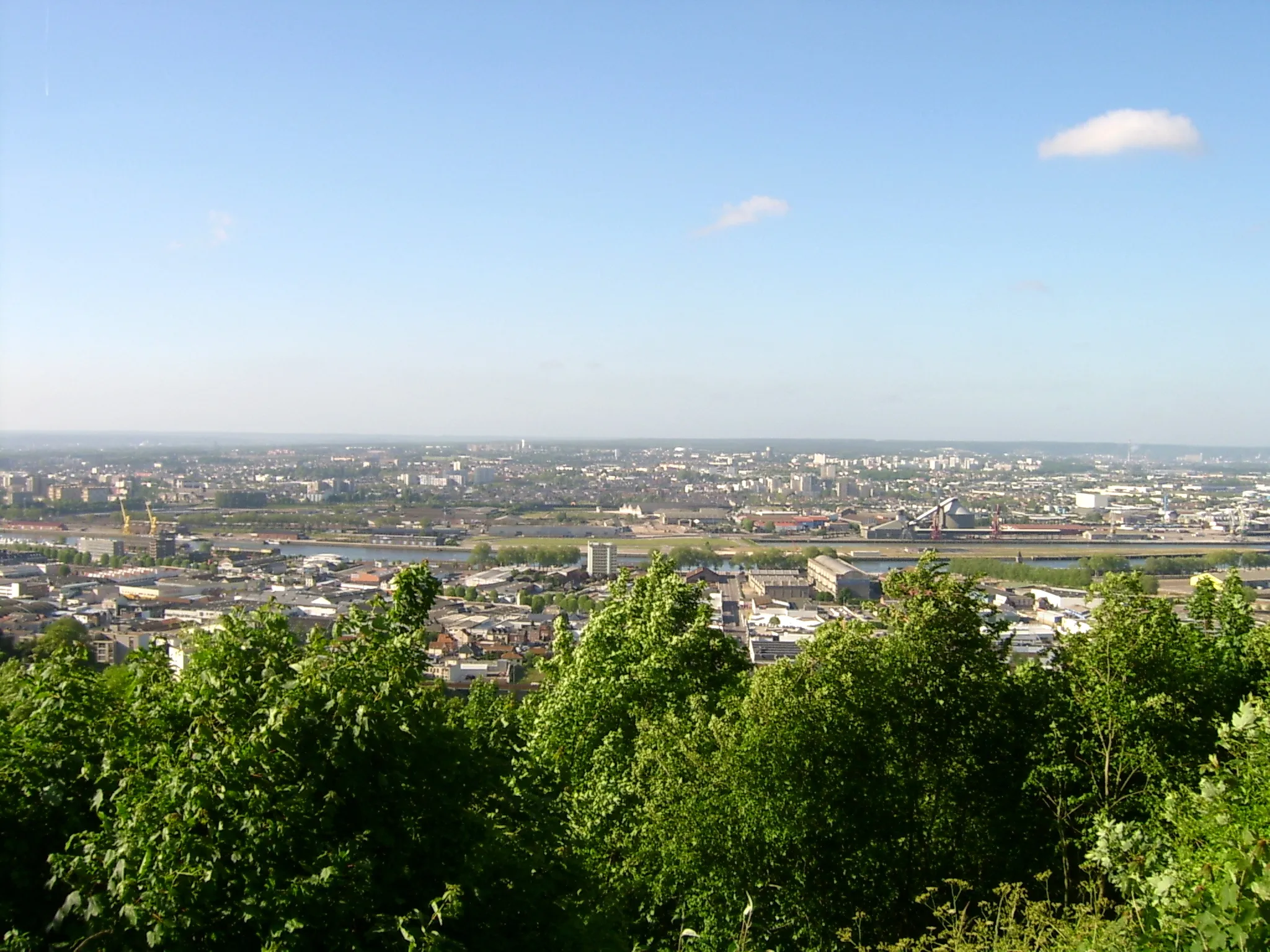
MarommeTownExplore the charming town of Maromme.
33 km
33 km
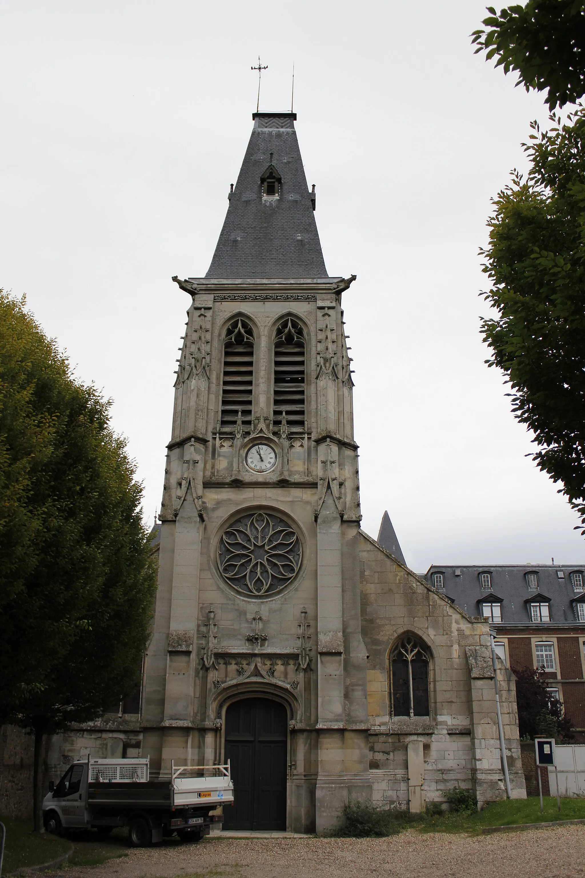
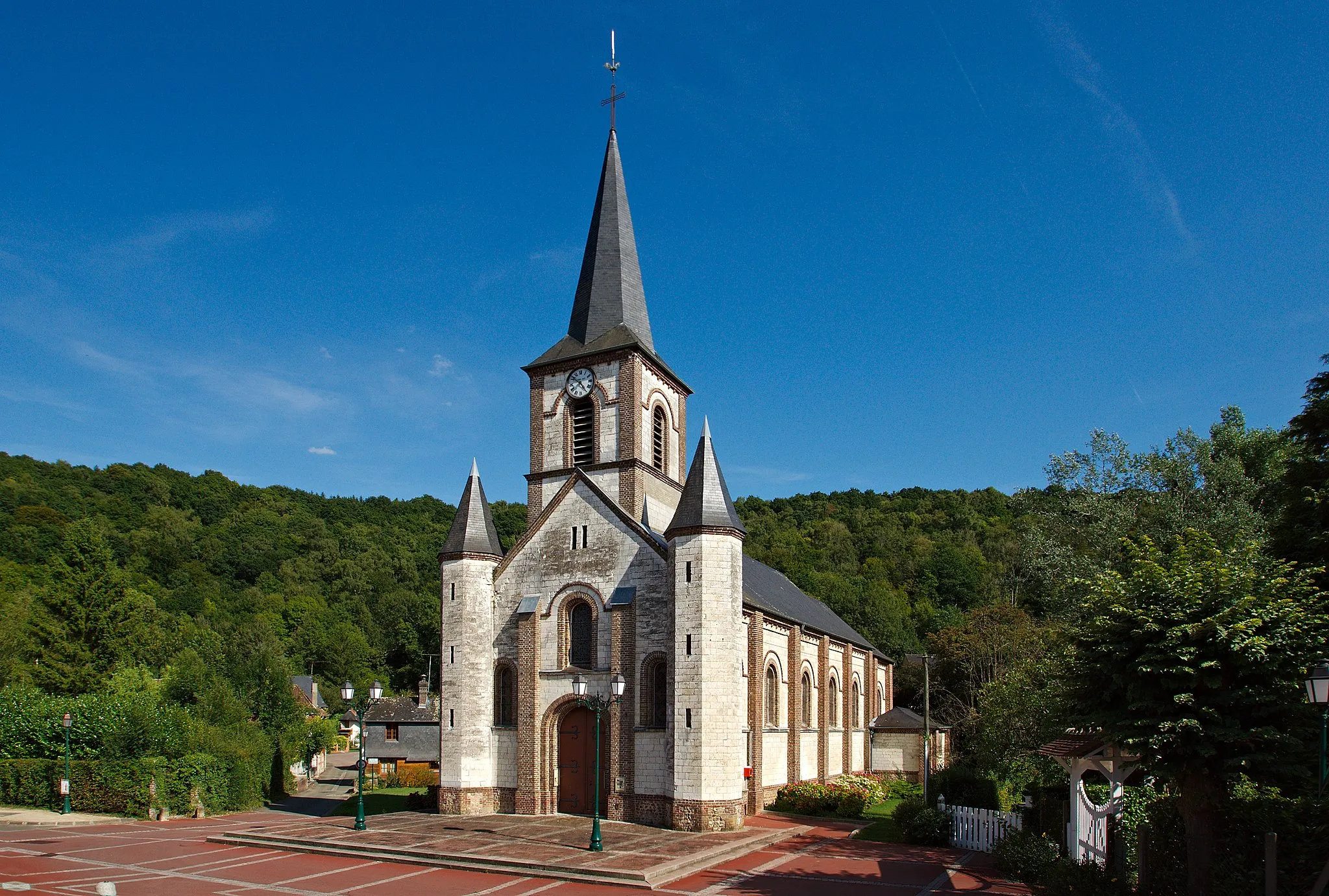
Croix-MareVillageChallenge yourself with the climbs in Croix-Mare.
42 km
42 km
GrémonvilleVillageAdmire the scenic beauty of Grémonville.
60 km
60 km
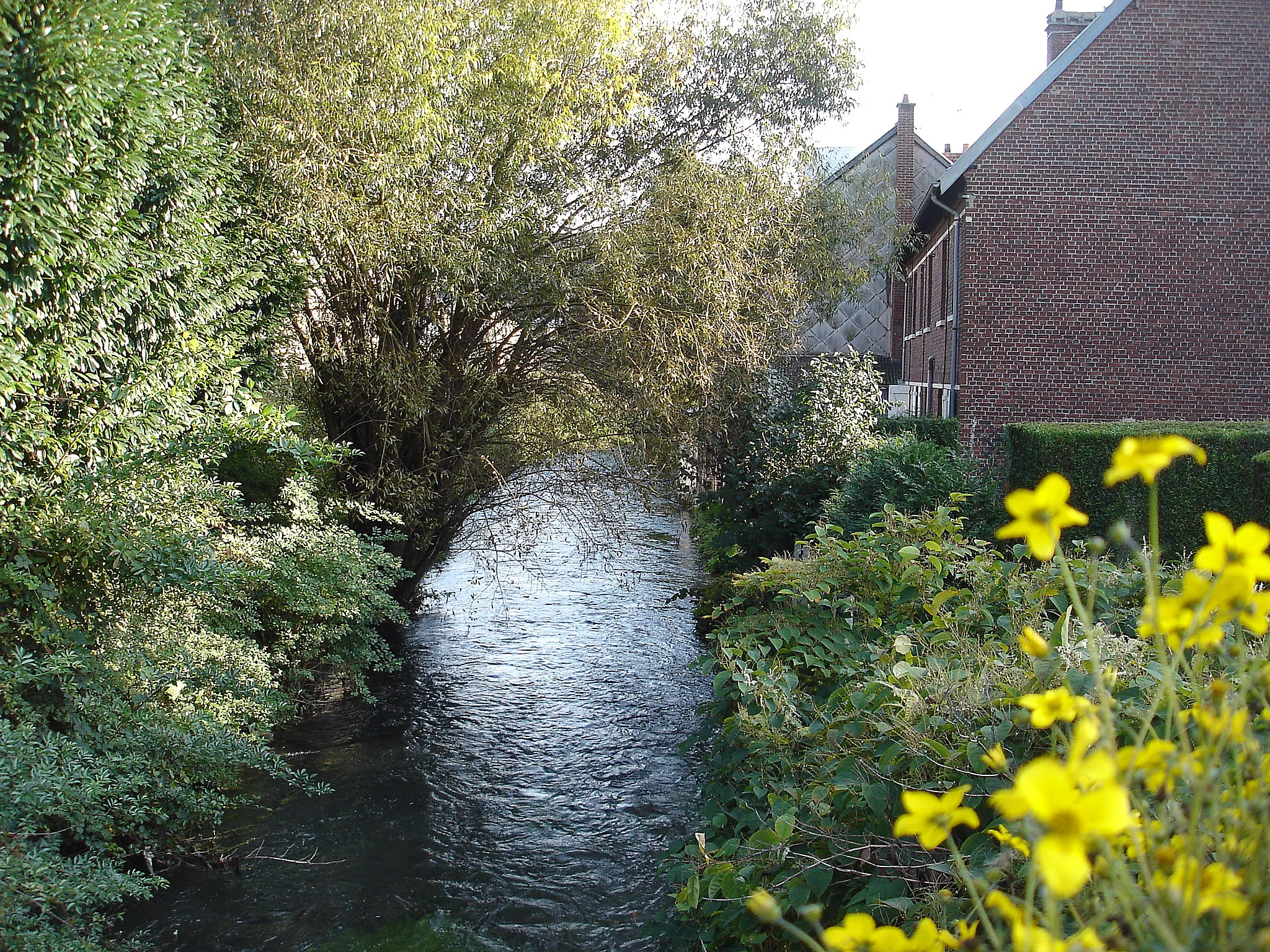
VénestanvilleVillageDiscover the hidden gem of Vénestanville.
73 km
73 km
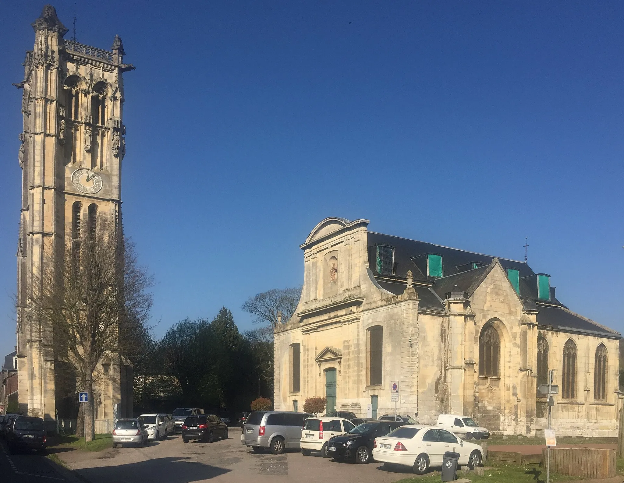
BelmesnilVillageVisit the historic town of Belmesnil.
87 km
87 km
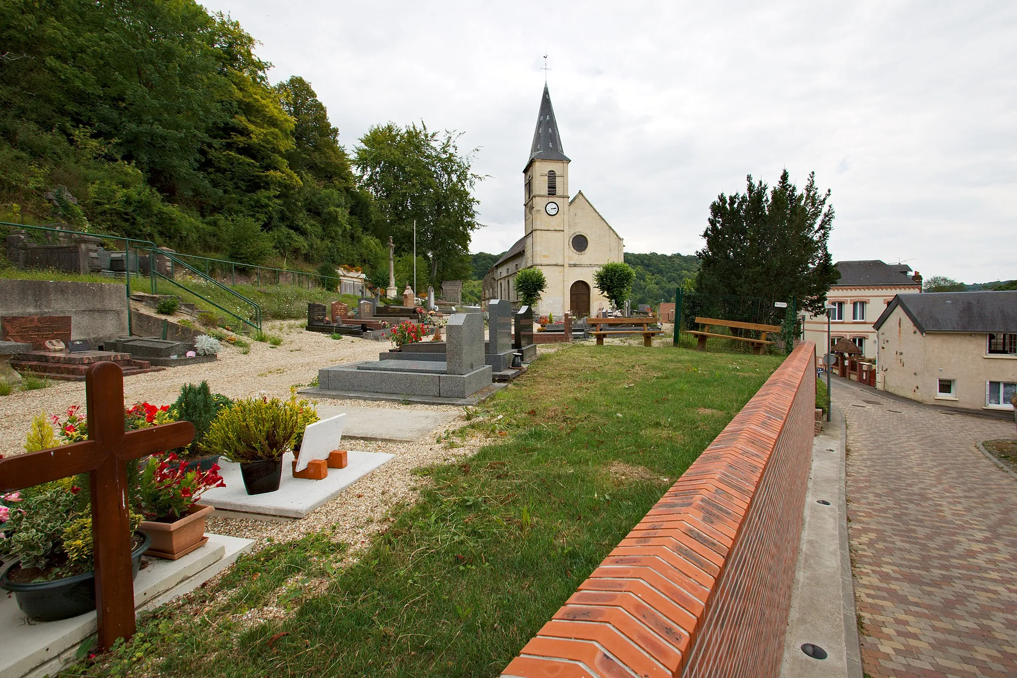
Saint-Victor-l'AbbayeVillageExperience the rural charm of Saint-Victor-l'Abbaye.
104 km
104 km
Bosc-Guérard-Saint-AdrienVillageStop by Bosc-Guérard-Saint-Adrien, a picturesque village.
113 km
113 km
Bois-GuillaumeTownExperience the charming countryside of Bois-Guillaume.
115 km
115 km
Mont Fortin144 mPeakReach the summit of Mont Fortin for breathtaking views.
116 km
116 km
Finish: Bihorel Village centerBihorel: Cycling paradise in Haute-Normandie
Cycling routes nearby: