Challenging Mountain Circuit
A road cycling route starting from Bihorel
Conquer the mountains and enjoy breathtaking views
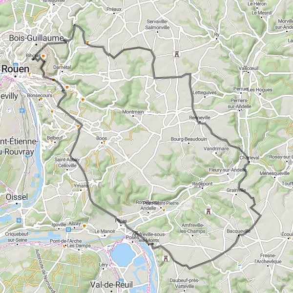
Map
Embark on an epic cycling adventure through the challenging terrains of Haute-Normandie. This route is designed for experienced and well-trained cyclists seeking adrenaline-pumping climbs and exhilarating descents. Take on the mountains, revel in the stunning scenery, and test your limits on this epic journey.
road
79 km
656 m
Savage
Route profile
Highlights on the route
0 km
0 km
Start: Bihorel Village centerBihorel: Cycling paradise in Haute-Normandie
Bihorel is a town in the Haute-Normandie region of France. It offers a mix of road and gravel cycling opportunities, with scenic routes winding through the picturesque countryside. While Bihorel doesn't have any specifically famous cycling spots or climbs within close proximity, it serves as a convenient base for exploring the surrounding area. Cyclists can venture out on the challenging climbs of Montmain and Mont-Saint-Aignan, both located nearby.17 km
17 km
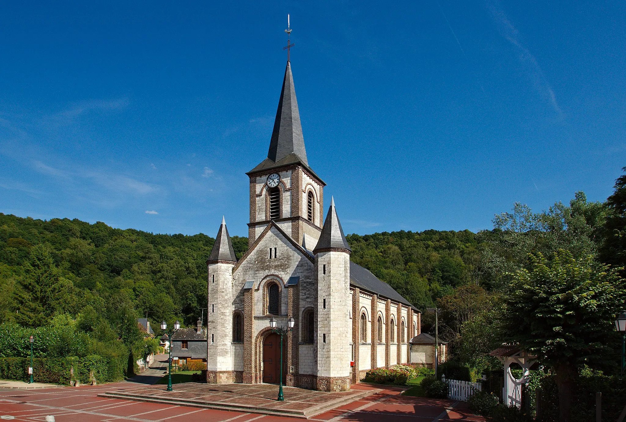
Bois-l'ÉvêqueVillageDefeat the challenging Bois-l'Évêque ascent and savor the sense of accomplishment.
33 km
33 km
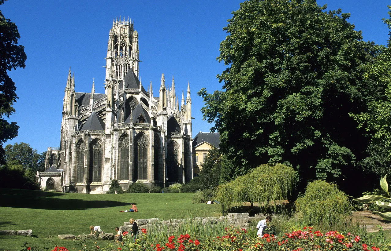
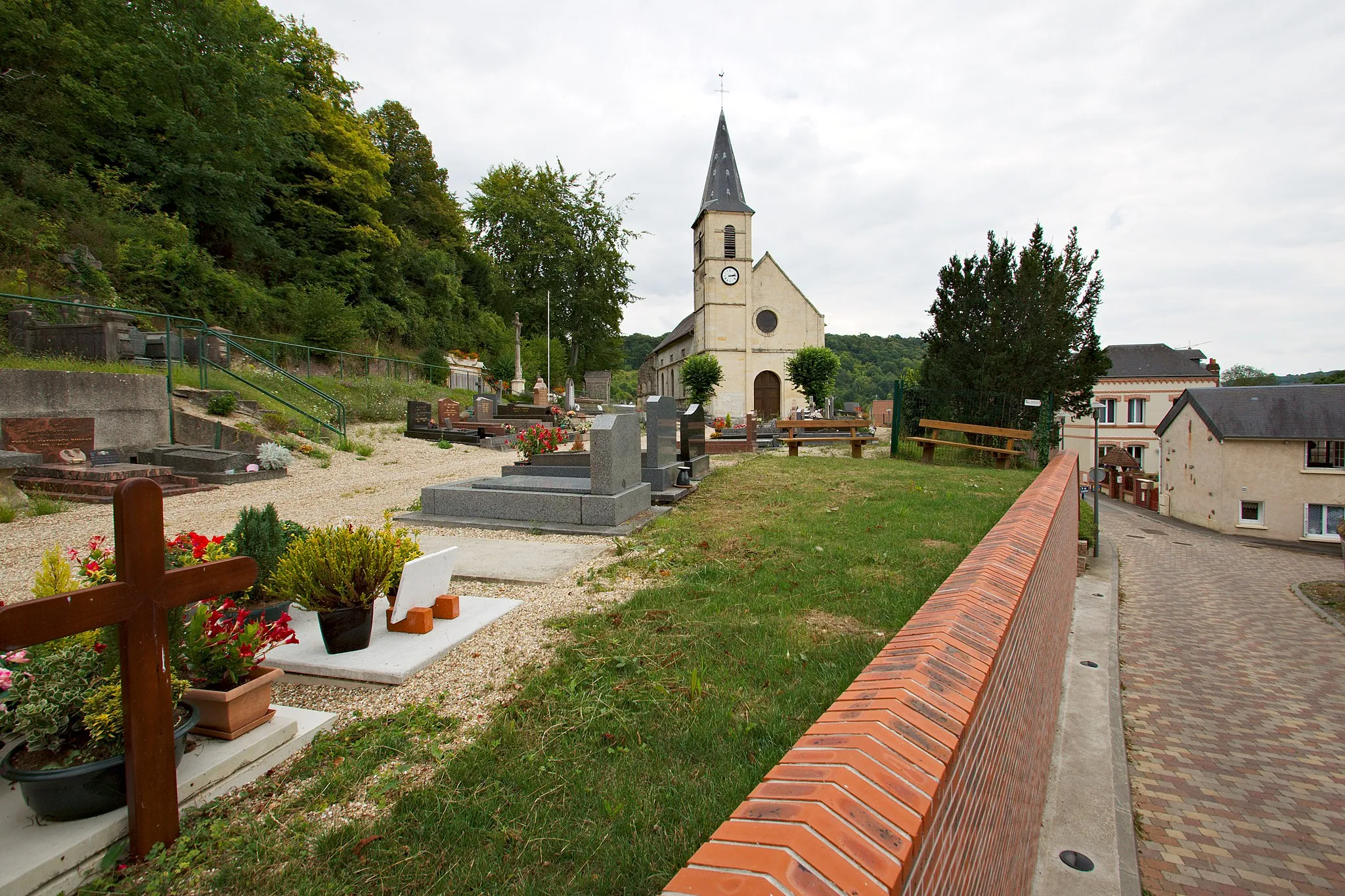
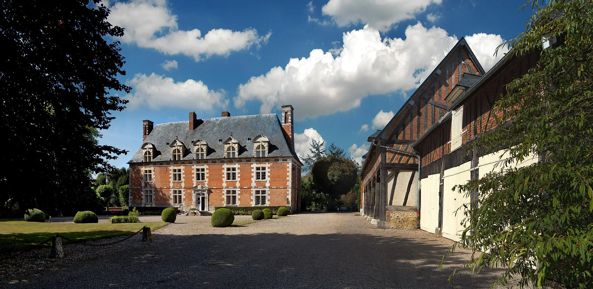
CharlevalVillageExperience the beauty of Charleval and enjoy panoramic views of the surrounding valleys.
54 km
54 km
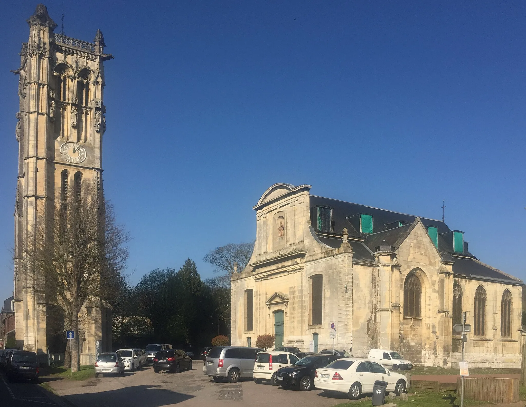
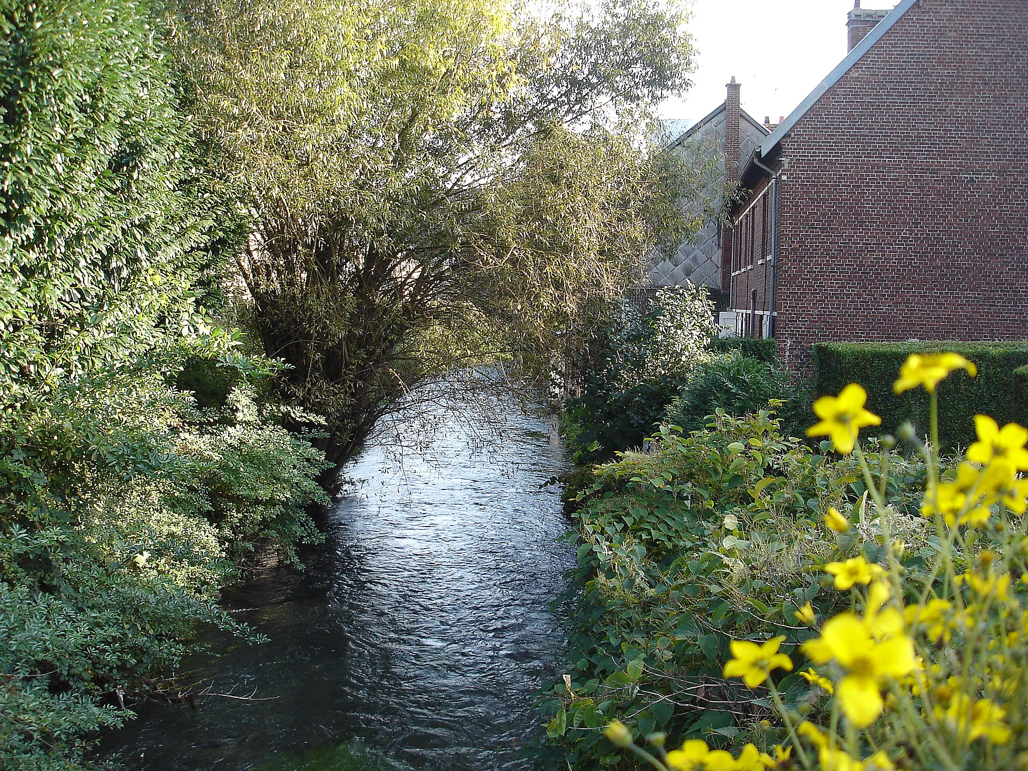
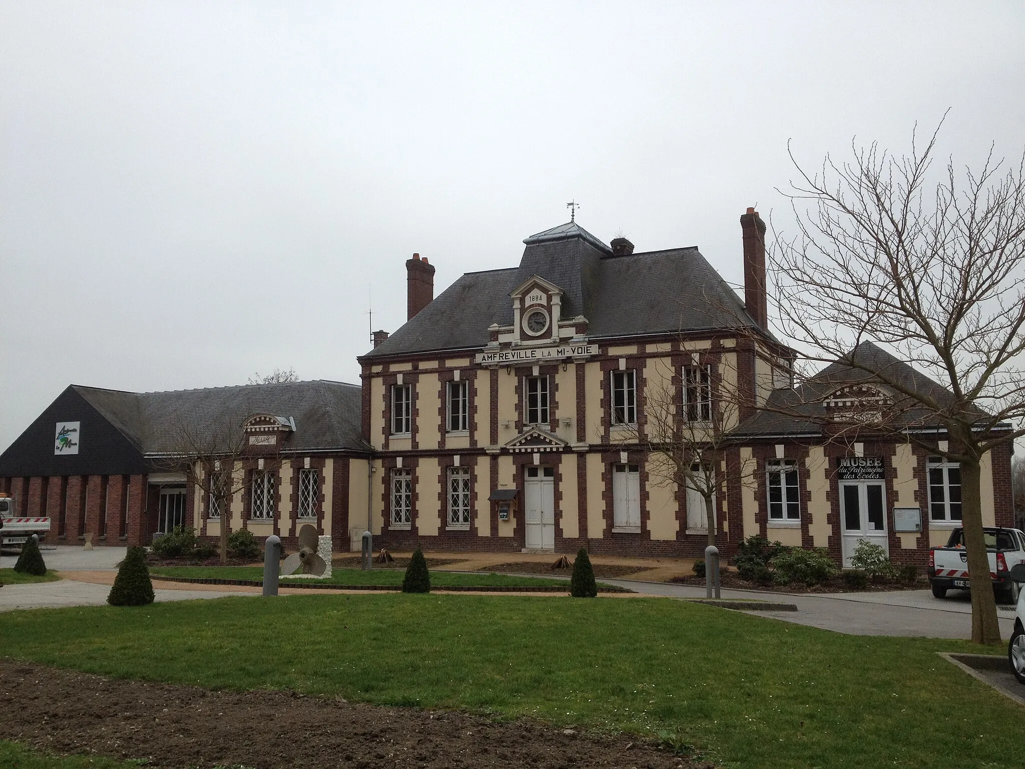
Amfreville-sous-les-MontsVillageDiscover the charming village of Amfreville-sous-les-Monts, nestled amidst rolling hills.
55 km
55 km
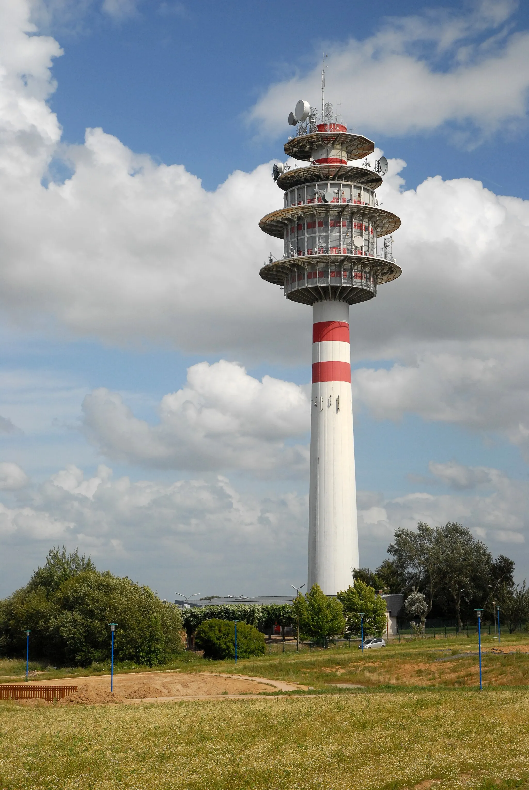
Table d'orientation de la cote des deux amantsViewpointVisit the Table d'orientation de la cote des deux amants and gaze upon the remarkable landscapes below.
68 km
68 km
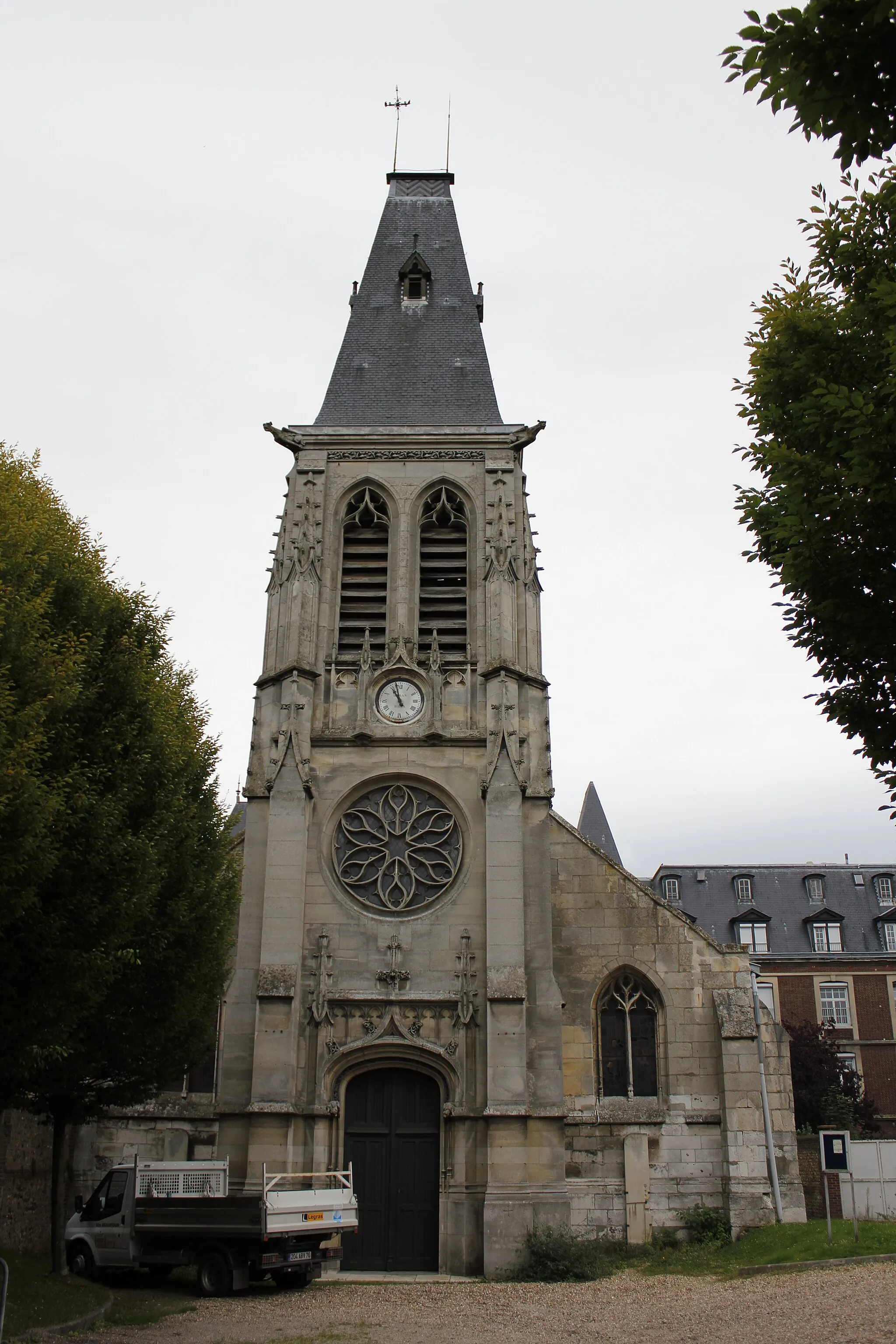
Franqueville-Saint-PierreVillagePass through Franqueville-Saint-Pierre and challenge yourself on its demanding mountain roads.
75 km
75 km
Four à pain de la PannevertAttractionMake a stop at the Four à pain de la Pannevert and enjoy a serene rest amidst captivating surroundings.
79 km
79 km
Finish: Bihorel Village centerBihorel: Cycling paradise in Haute-Normandie
Cycling routes nearby: