The Gravel Adventure
A gravel cycling route starting from Pourrieres
An exciting off-road journey through rugged landscapes and scenic villages
Map
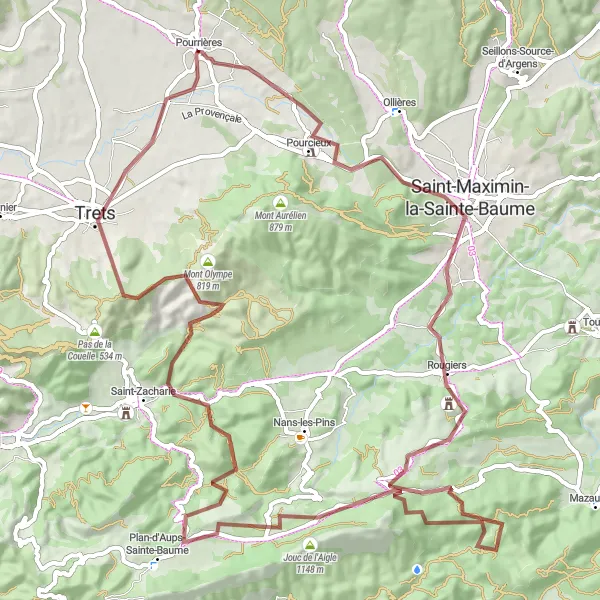
Embark on a thrilling gravel ride through the diverse landscapes of Provence-Alpes-Côte d’Azur. This route offers stunning views, challenging climbs, and opportunities to soak in the local culture. Experience the beauty of Collet de Mourgues, explore the charming village of Pourcieux, marvel at the historical Rougiers, and discover the natural wonders of Glacière Pivaut and Le Mourre d'Agnis. Reach new heights at Signal des Béguines and Saint-Jean du Puy, and immerse yourself in the history of Trets. The gravel adventure around Pourrières is a unique experience for any avid cyclist.
gravel
85 km
1510 m
Tough
Route profile
Highlights on the route
0 km
0 km
Start: Pourrières Village centerPourrières: Diverse terrains and challenging climbs near Montagne Sainte-Victoire.
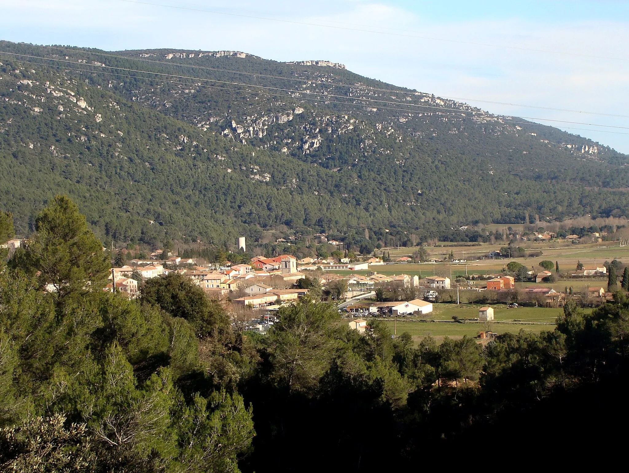
Pourrières is a town located in the Provence-Alpes-Côte d’Azur region of France. From a cyclist's perspective, the surrounding area offers diverse terrains with various possibilities for road and gravel cycling. While Pourrières doesn't have any famous cycling spots or well-known climbs within its immediate vicinity, the proximity to Montagne Sainte-Victoire provides cyclists with an opportunity to tackle the challenging climbs and enjoy the stunning views from the top. Pourrières is a great destination for cyclists seeking diverse routes and challenging climbs.2 km
2 km
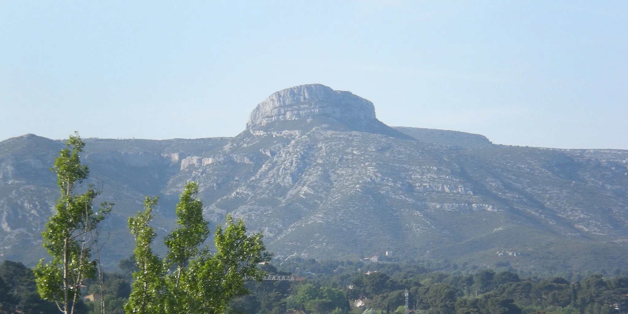
Collet de Mourgues299 mPeakCollet de Mourgues offers breathtaking panoramic views of the surrounding mountains. Enjoy the exhilarating descent after conquering this challenging climb.
6 km
6 km
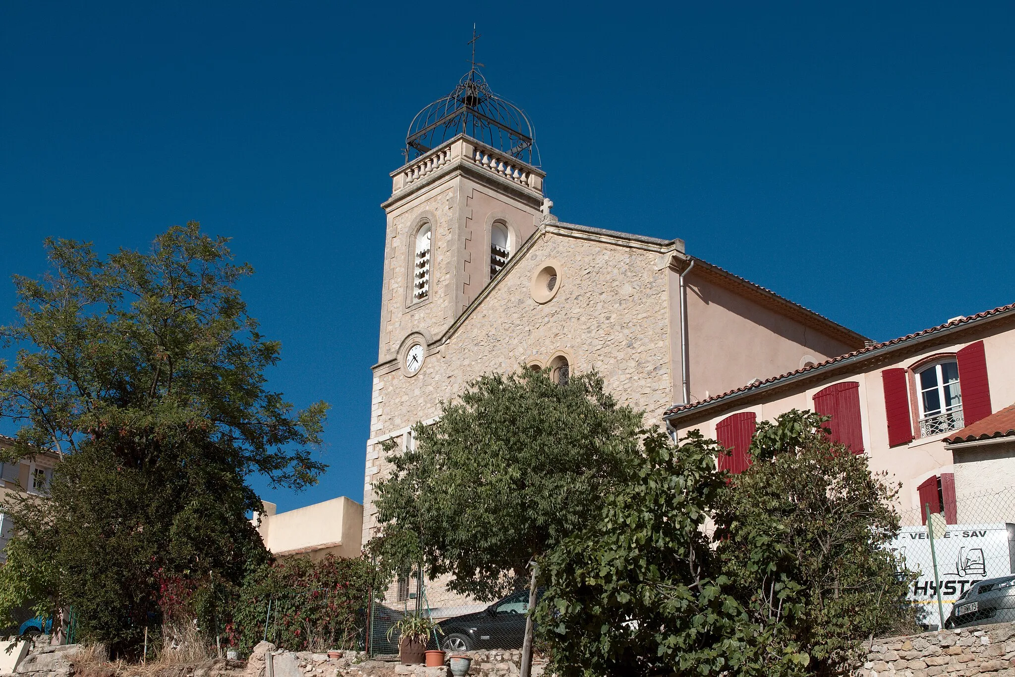
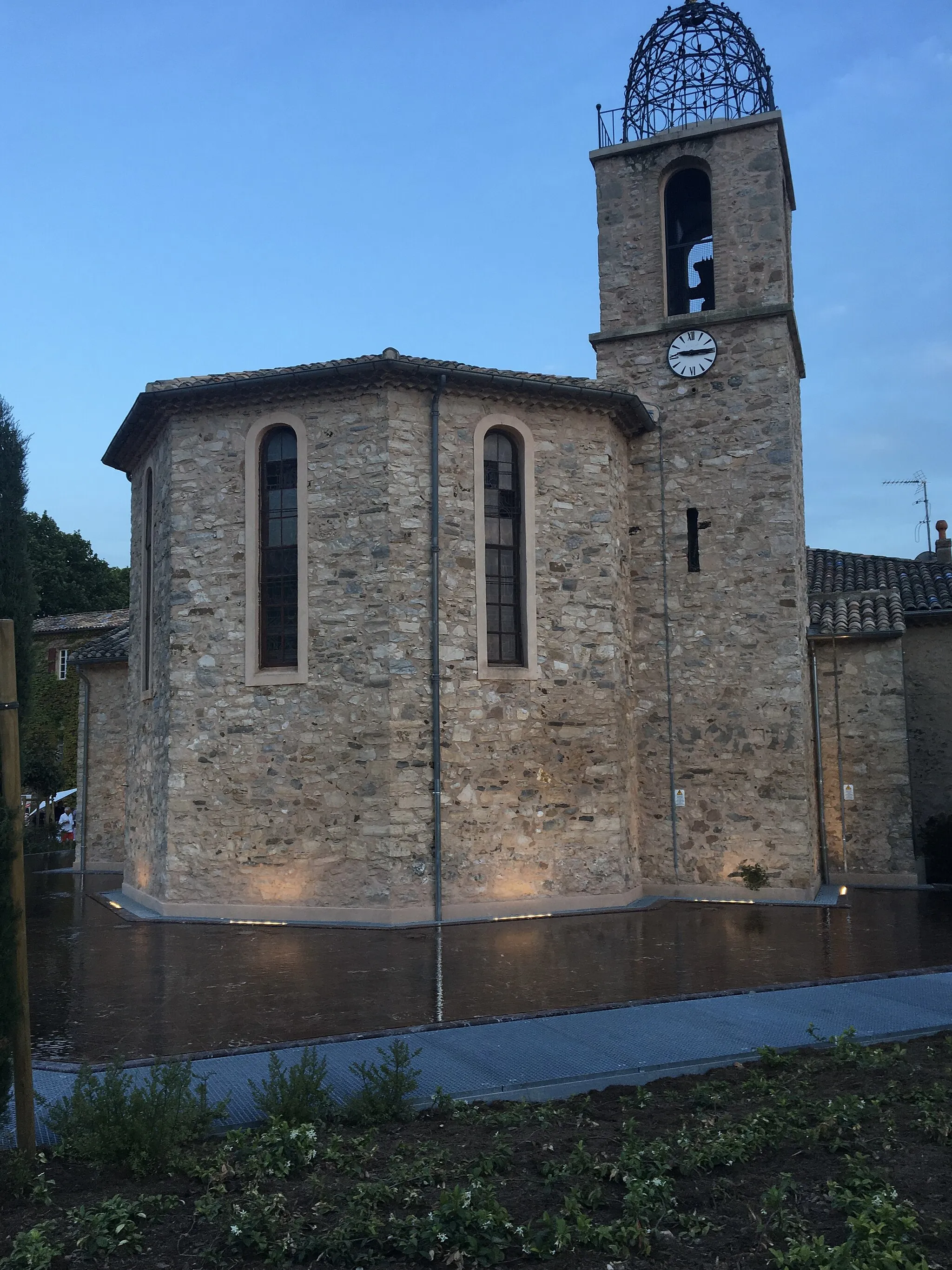
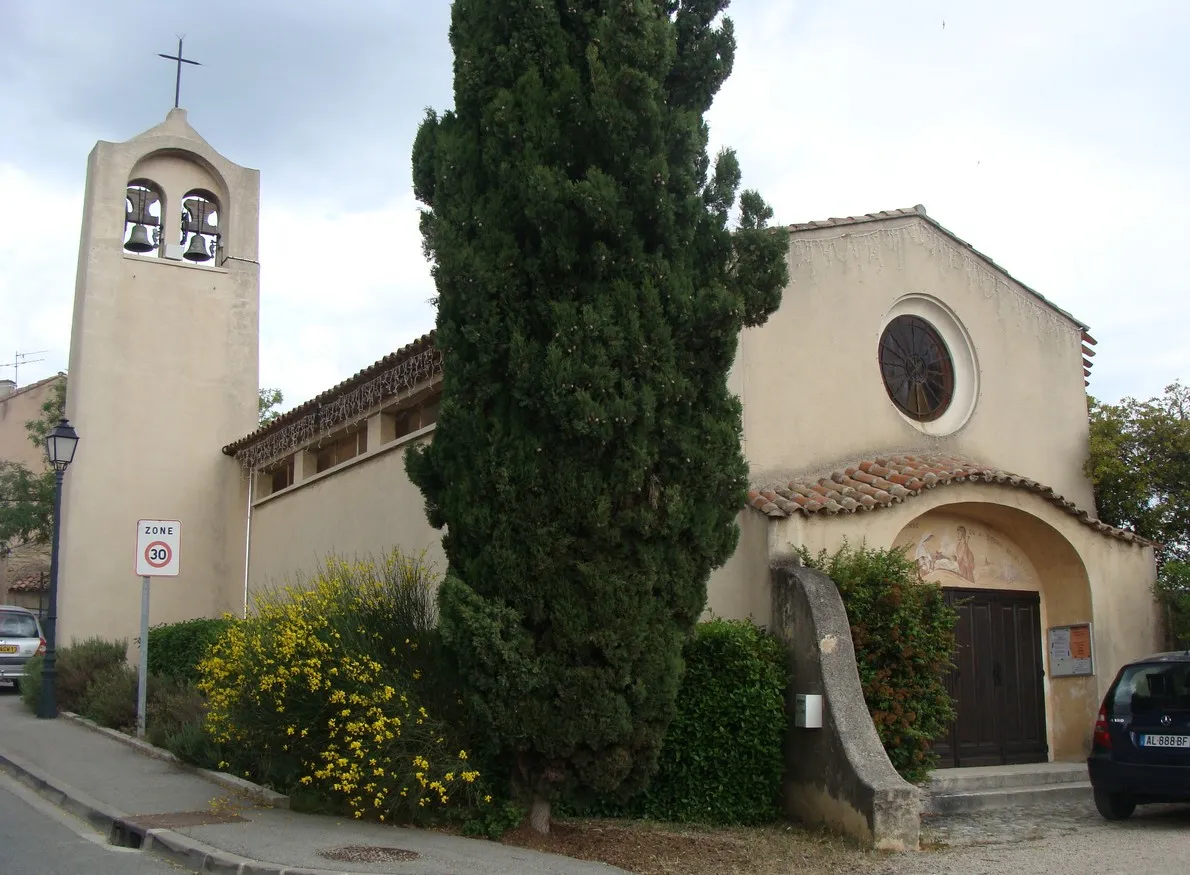
PourcieuxVillagePourcieux is a picturesque village with narrow streets and beautiful old buildings. Take a break and enjoy the local Provençal atmosphere.
21 km
21 km
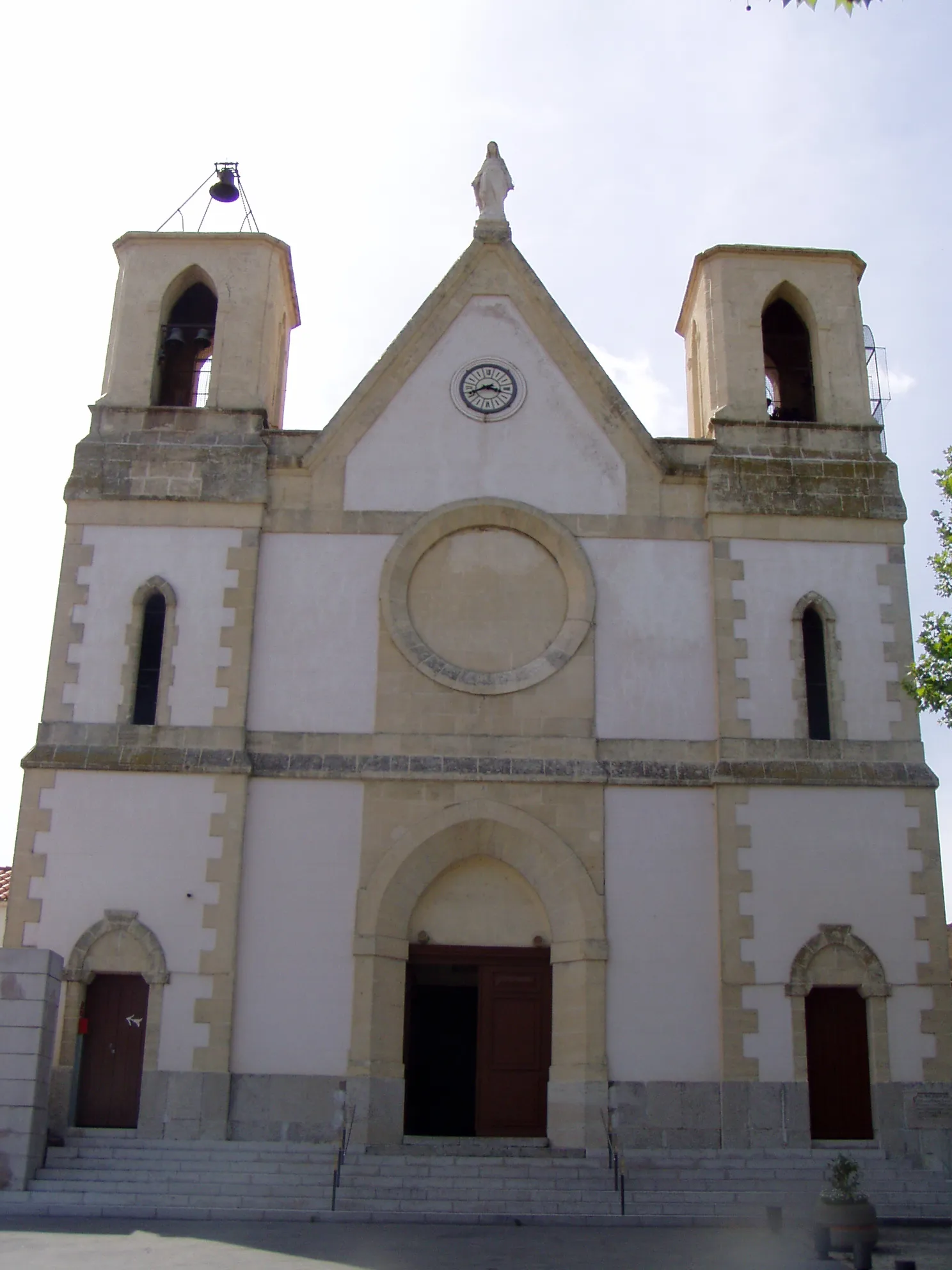
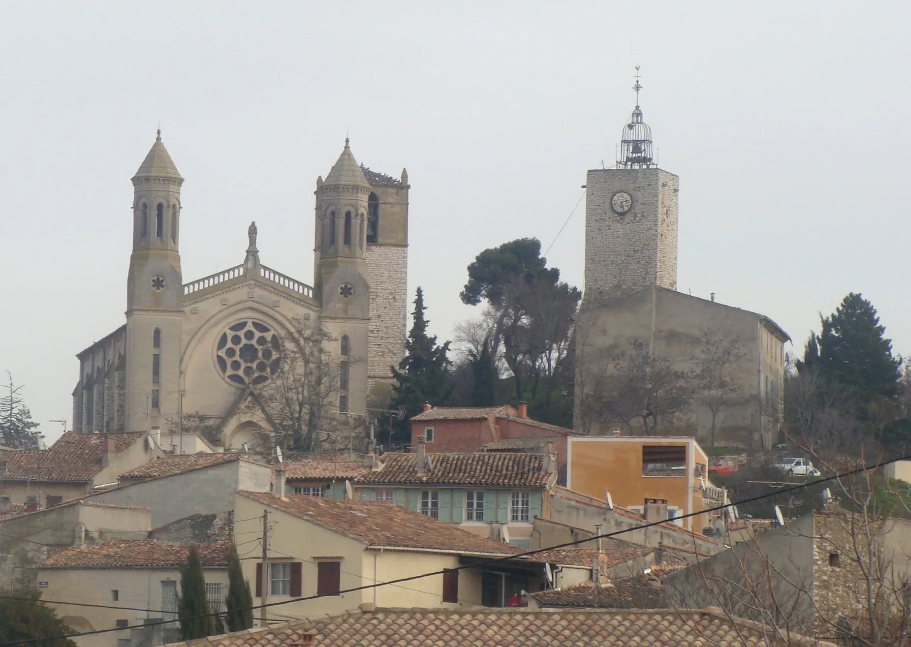
RougiersVillageRougiers is a medieval village with well-preserved architecture. Explore the charming streets and visit the historic landmarks.
31 km
31 km
Glacière PivautCastle RuinsGlacière Pivaut is a natural ice cave formed millions of years ago. Discover the fascinating geological formations and learn about the cave's history.
36 km
36 km
Le Mourre d'Agnis919 mPeakLe Mourre d'Agnis is the highest peak in the area, offering stunning panoramic views. Challenge yourself to reach the summit and reward yourself with the breathtaking scenery.
45 km
45 km
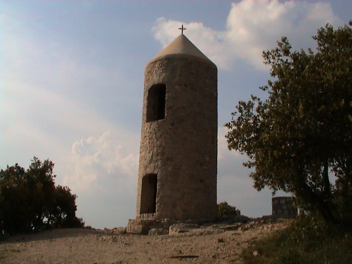
Signal des Béguines1148 mPeakSignal des Béguines is a mountaintop viewpoint with a large cross. Enjoy the impressive views of the surrounding valleys and mountains.
52 km
52 km
Le PlanHamletLe Plan is a charming hilltop village with narrow streets and stone houses. Explore the local shops and soak in the authentic Provençal atmosphere.
73 km
73 km
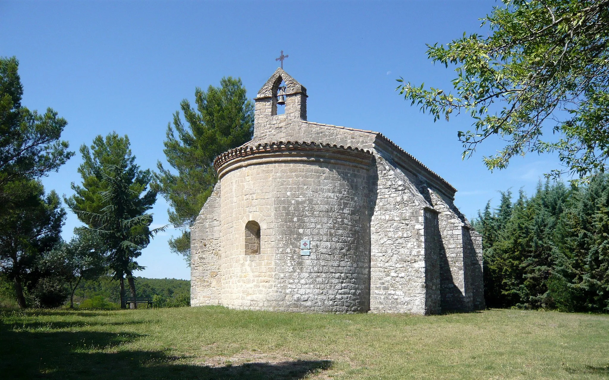
Saint-Jean du PuyViewpointSaint-Jean du Puy is a historic chapel located on a hilltop. Visit this spiritual place and enjoy the peaceful surroundings.
77 km
77 km
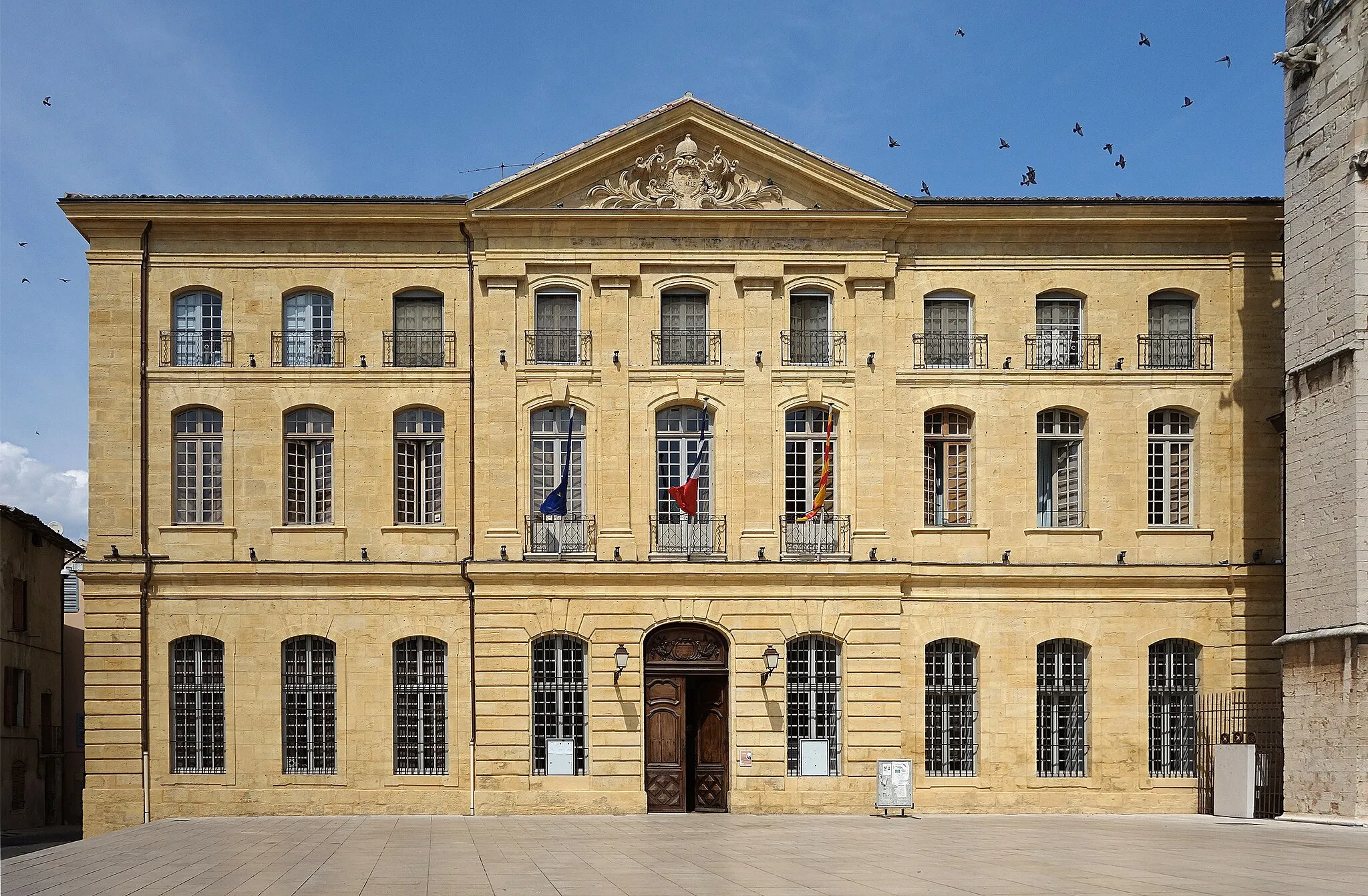
TretsTownTrets is a vibrant town with a rich cultural heritage. Explore the narrow streets, visit the local market, and learn about the town's history.
85 km
85 km
Finish: Pourrières Village centerPourrières: Diverse terrains and challenging climbs near Montagne Sainte-Victoire.
Cycling routes from Pourrieres:
Pourrières to Varages: Discover Provence's Hidden Gems Pourrières Gravel Adventure Gravel Adventure: Explore Pourcieux and Beyond Gravel Adventure to Collet du Pouchon Pourrières Loop: Explore Saint-Maximin and Beyond Pourrières to La Dispute Road Cycling to Aix-en-Provence Gravel Adventure to La Citadelle Gravel Adventure to Collet de Louchon Road Cycling to Ginasservis The Gravel Adventure Scenic Road Cycling
Cycling routes nearby: