Gravel Loop through Natural Beauty
A gravel cycling route starting from Saint-Zacharie
Explore the natural beauty surrounding Saint-Zacharie on this gravel loop
Map
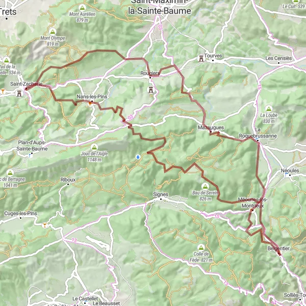
This 97-kilometer gravel loop offers cyclists the chance to immerse themselves in the natural beauty of the Saint-Zacharie region. With a total ascent of 2084 meters, it is a challenging route that takes riders through stunning landscapes. The route passes through Nans-les-Pins, Le Mourre d'Agnis, and Belgentier, offering a variety of terrain to conquer. With a difficulty rating of 4 and an epicness level of 4, this route is perfect for gravel enthusiasts seeking a thrilling adventure.
gravel
97 km
2084 m
Tough
Route profile
Highlights on the route
0 km
0 km
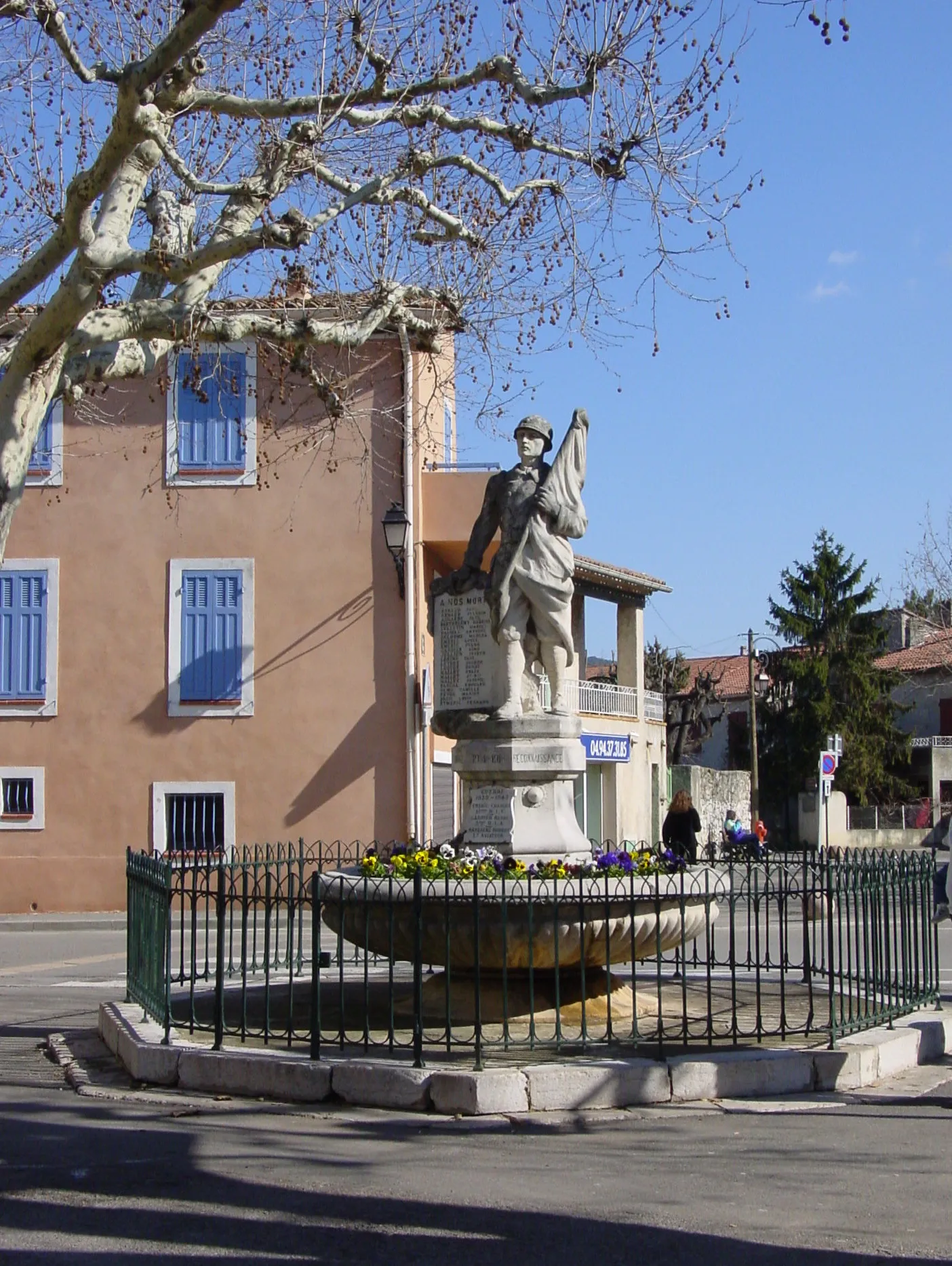
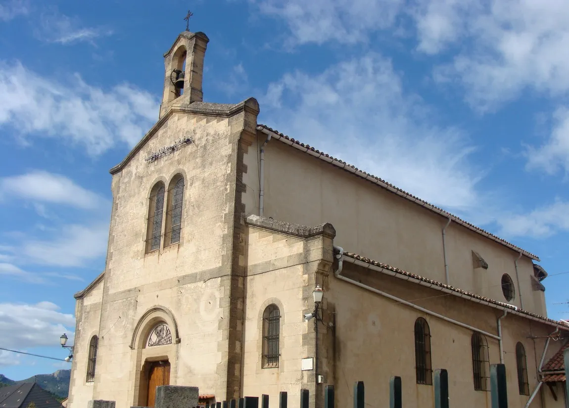
Start: Saint-Zacharie Village centerSaint-Zacharie: Challenging climbs and scenic rides in Provence-Alpes-Côte d’Azur.
Saint-Zacharie is a picturesque town located in the Provence-Alpes-Côte d’Azur region of France. As a road and gravel cyclist, you'll find a variety of cycling options in this area. The nearby Montagne de la Sainte-Baume is a well-known cycling destination, offering challenging climbs and stunning views. With its beautiful scenery and cycling-friendly atmosphere, Saint-Zacharie is a great choice for cyclists looking for a mix of challenging routes and breathtaking landscapes.8 km
8 km
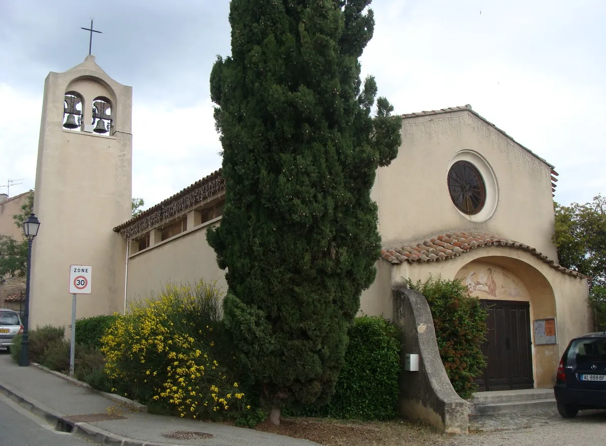
Nans-les-PinsVillageNans-les-Pins is a picturesque town known for its charming Provençal houses and vineyards.
10 km
10 km
Collet Redon418 mPeakCollet Redon is a challenging climb that rewards cyclists with stunning views of the surrounding landscape.
26 km
26 km
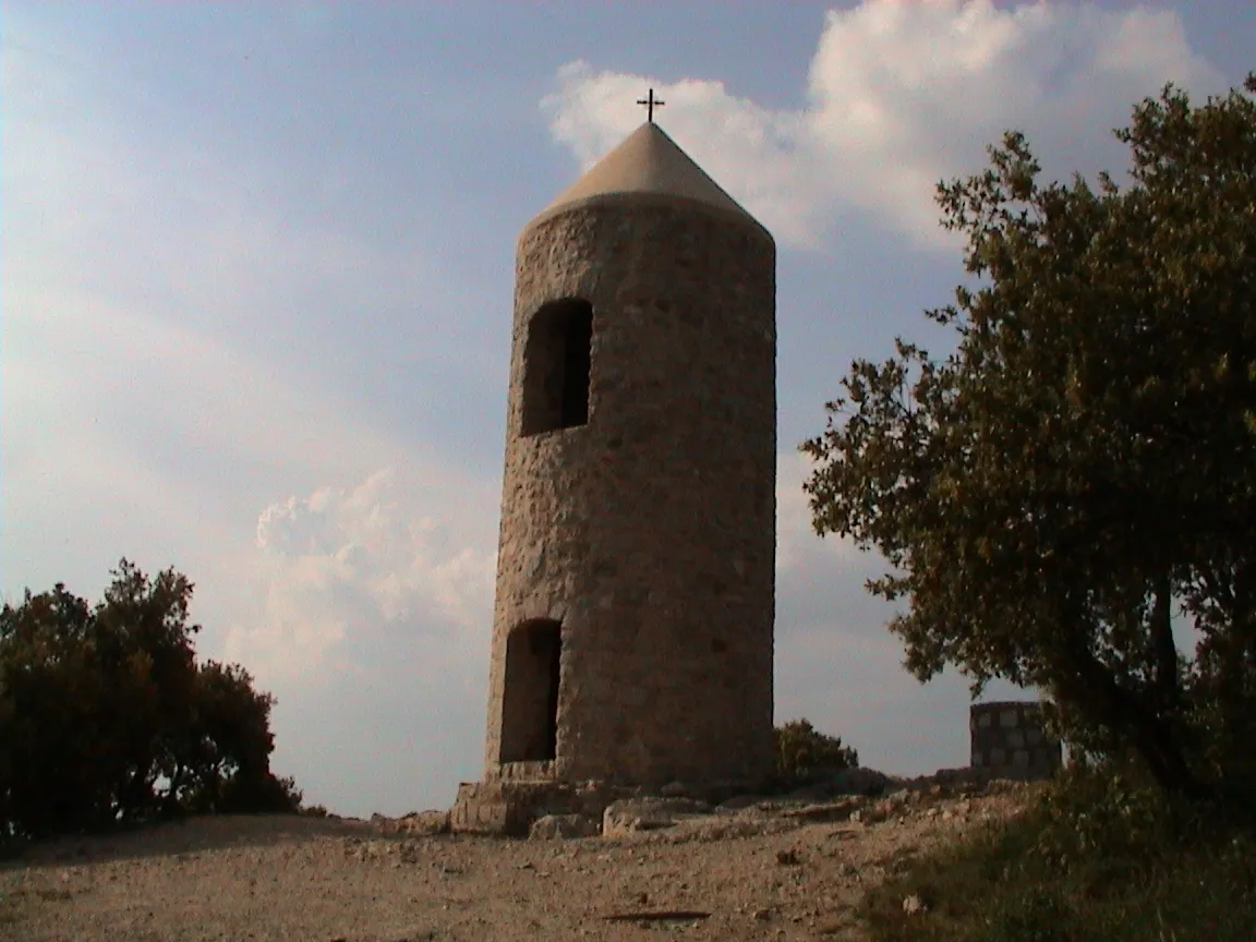
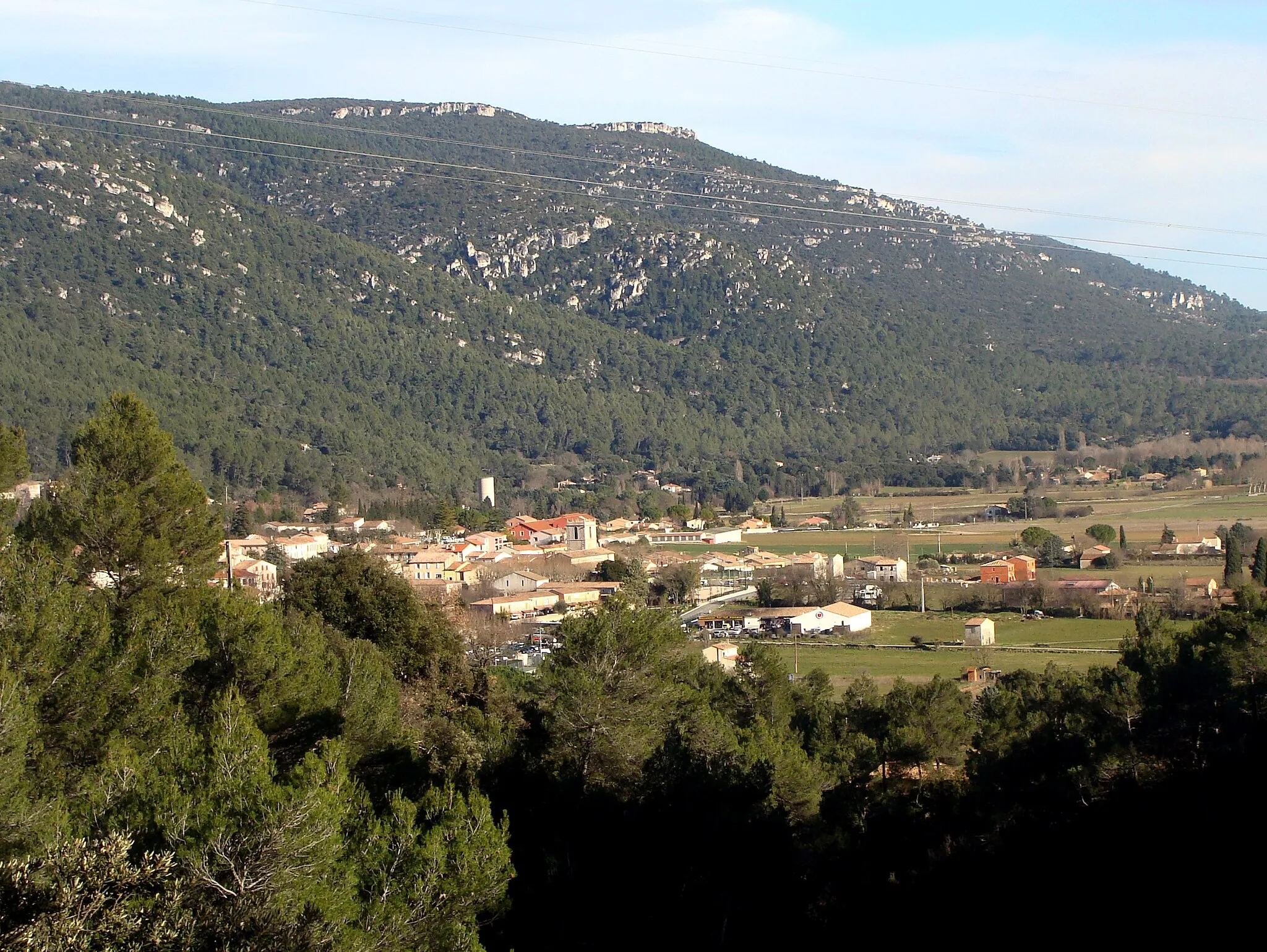
Le Mourre d'Agnis919 mPeakLe Mourre d'Agnis is the highest peak in the area, offering breathtaking panoramic views.
39 km
39 km
Pey Ferrier475 mPeakPey Ferrier is a hidden gem with picturesque trails that wind through beautiful nature reserves.
47 km
47 km
BelgentierVillageBelgentier is home to historic landmarks and has a rich agricultural heritage.
59 km
59 km
Pey Rediaque366 mPeakPey Rediaque offers scenic routes for hikers, with diverse flora and fauna.
63 km
63 km
La RoquebrussanneVillageLa Roquebrussanne is a charming Provençal village surrounded by lush greenery.
81 km
81 km
RougiersVillageRougiers is known for its geological formations, including dramatic cliffs and caves.
87 km
87 km
Colline de la Jauberte503 mPeakColline de la Jauberte offers panoramic views over the Saint-Zacharie region.
97 km
97 km
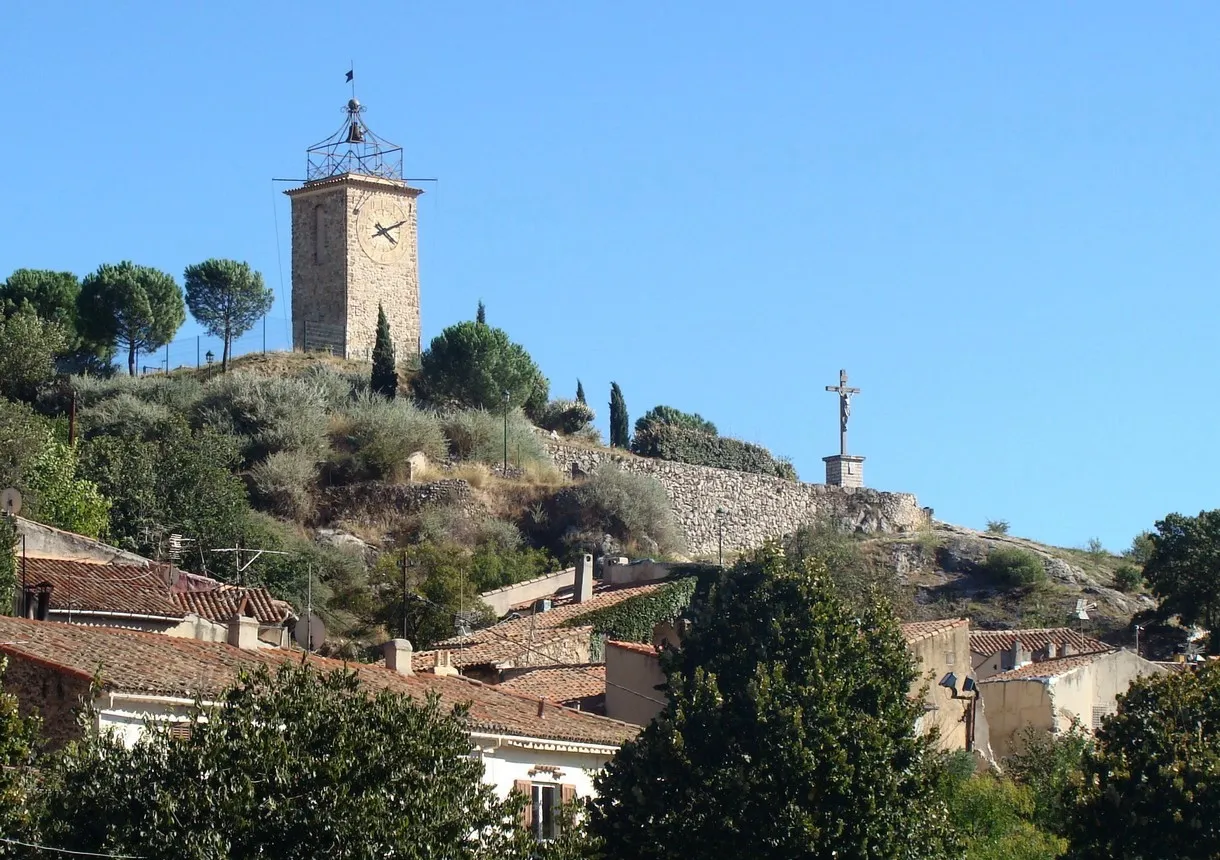
Saint-ZacharieVillageSaint-Zacharie is a delightful village with medieval streets, charming shops, and a rich history.
97 km
97 km
Finish: Saint-Zacharie Village centerSaint-Zacharie: Challenging climbs and scenic rides in Provence-Alpes-Côte d’Azur.
Cycling routes from Saint-Zacharie:
Gravel Adventure in Saint-Zacharie Tour de Saint-Zacharie and Surrounding Mountains Scenic Route through Provence Scenic Road Cycling Route Gravel Loop through Natural Beauty Discover the Provencal Countryside Explore the Gravel Trails of Saint-Zacharie Discover the Hidden Gems of the Region Road Cycling Adventure to Saint-Zacharie Gravel Route through Saint-Zacharie
Cycling routes nearby: