Discover the Provencal Countryside
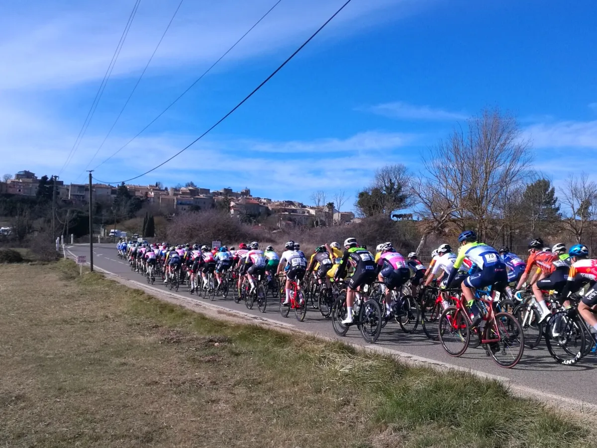
A road cycling route starting from Saint-Zacharie
Embark on a scenic cycling adventure through the idyllic countryside near Saint-Zacharie.
Map

Explore the picturesque countryside near Saint-Zacharie on this beautiful road cycling route. This round-trip tour takes you through charming villages, historic sites, and stunning natural landscapes. With a total ascent of 1588 meters and a distance of 131 kilometers, this route is suitable for experienced amateur cyclists seeking a moderate challenge. Rated 3 for its difficulty and 3 for its epicness, this route provides an enjoyable and varied cycling experience. Highlights along the route include Pas de la Couelle, offering panoramic views, and Saint-Julien-le-Montagnier, a historical village with a rich cultural heritage.
road
131 km
1588 m
Tough
Route profile
Highlights on the route
0 km
0 km
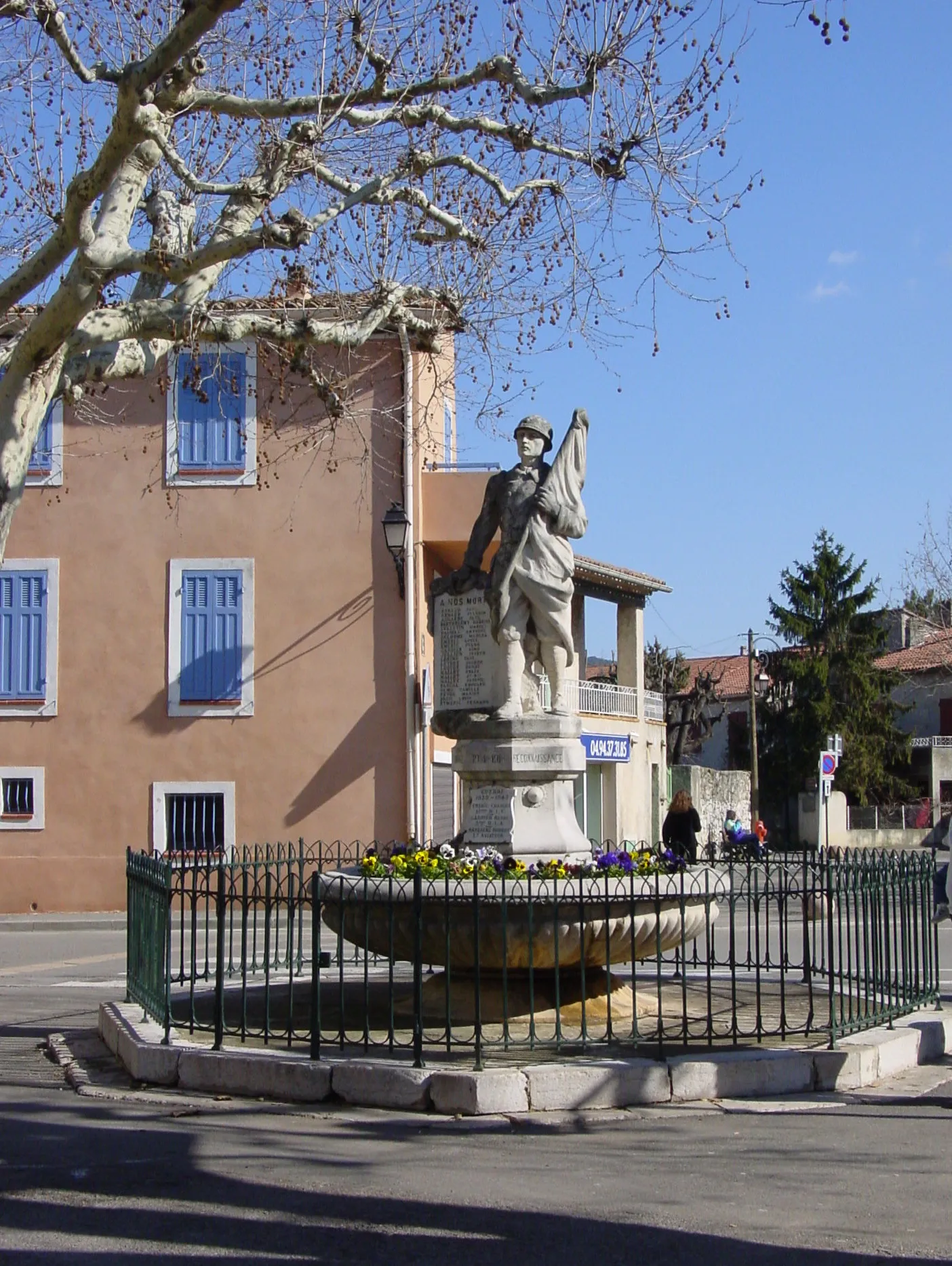
Start: Saint-Zacharie Village centerSaint-Zacharie: Challenging climbs and scenic rides in Provence-Alpes-Côte d’Azur.
Saint-Zacharie is a picturesque town located in the Provence-Alpes-Côte d’Azur region of France. As a road and gravel cyclist, you'll find a variety of cycling options in this area. The nearby Montagne de la Sainte-Baume is a well-known cycling destination, offering challenging climbs and stunning views. With its beautiful scenery and cycling-friendly atmosphere, Saint-Zacharie is a great choice for cyclists looking for a mix of challenging routes and breathtaking landscapes.5 km
5 km
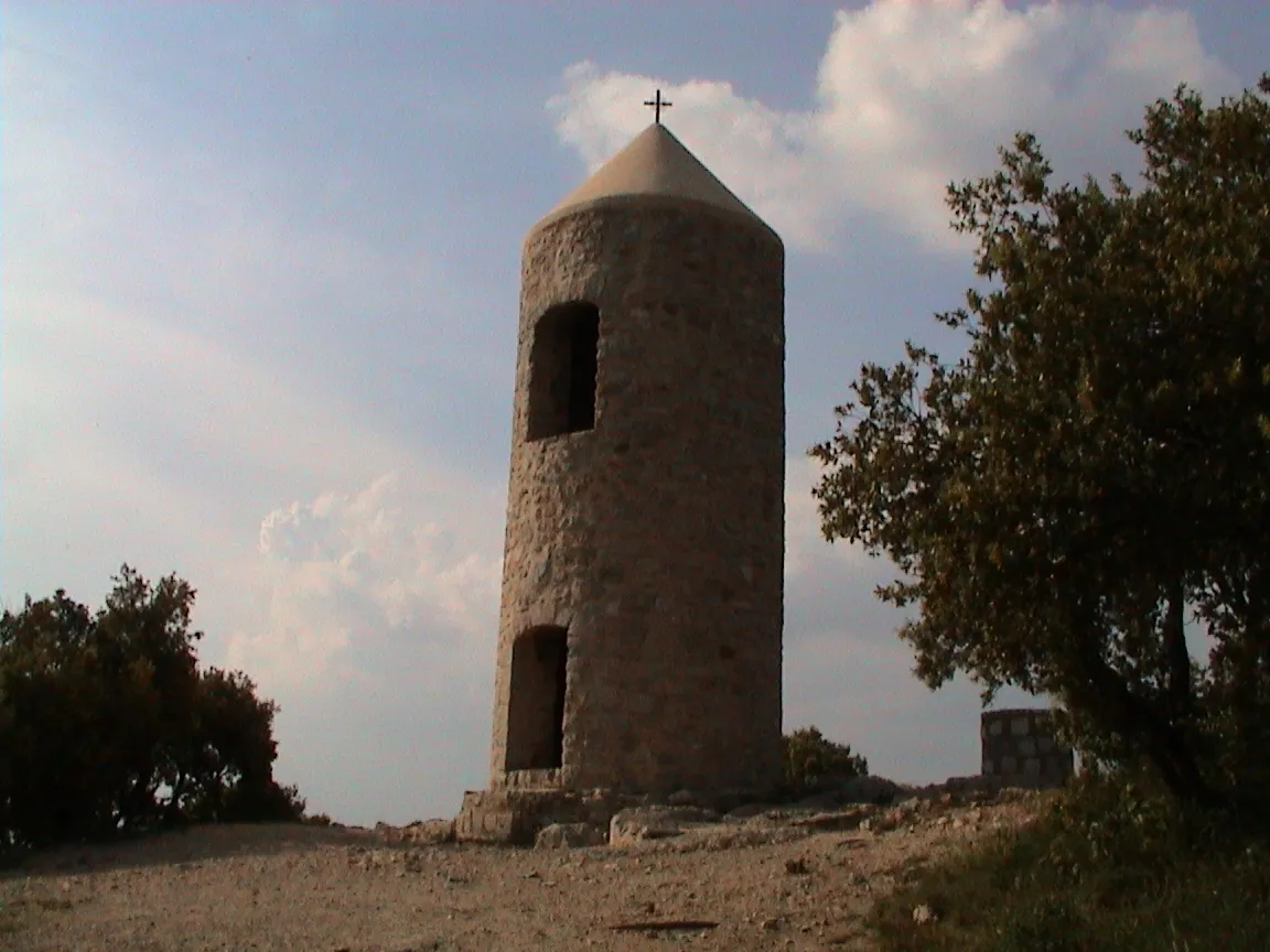
Pas de la Couelle534 mMountain PassTake a moment at Pas de la Couelle to admire the stunning vistas of the surrounding countryside.
13 km
13 km
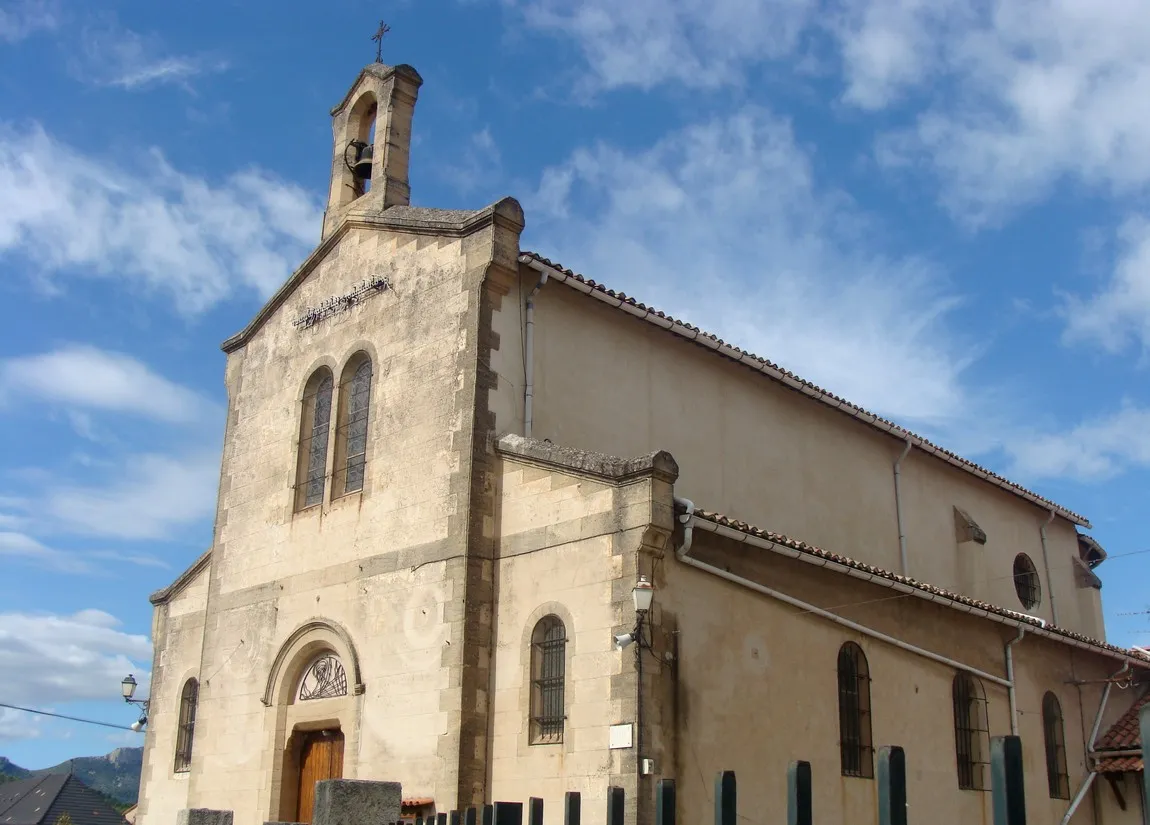
TretsTownIn Trets, explore the charming old town and visit its historic landmarks.
22 km
22 km
PourrièresVillageJourney through Pourrières, a peaceful village surrounded by vineyards and olive groves.
27 km
27 km
La Dispute571 mPeakLa Dispute is a scenic spot offering breathtaking views of the surrounding nature.
38 km
38 km
Collet de la Reinache417 mPeakChallenge yourself with the climb to Collet de la Reinache and enjoy the rewarding views from the summit.
49 km
49 km
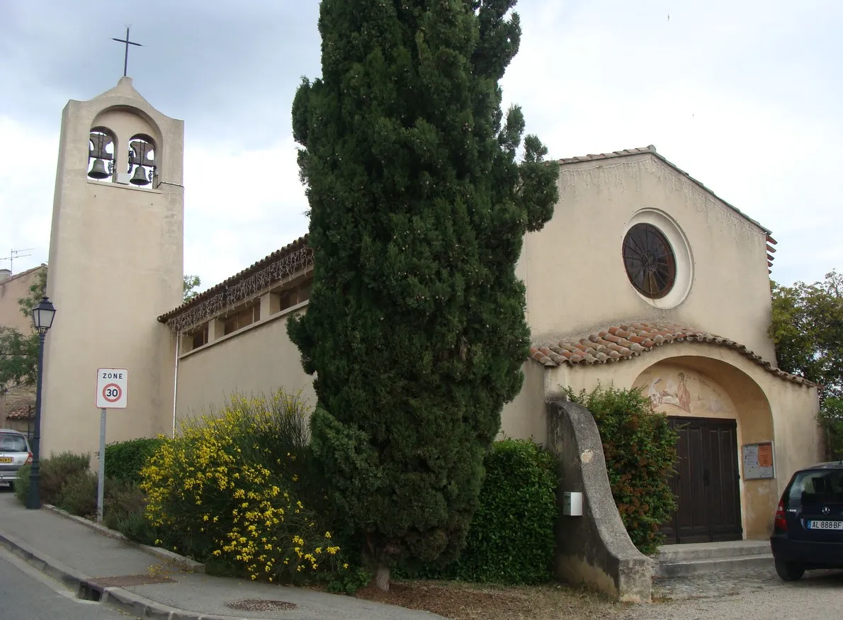
GinasservisVillageGinasservis is a quaint village with narrow streets and traditional Provençal architecture.
56 km
56 km
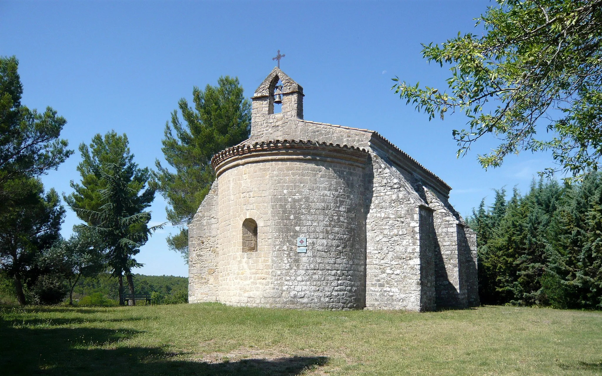
Saint-Julien-le-MontagnierVillageStop by Saint-Julien-le-Montagnier and discover its rich historical heritage and charming atmosphere.
73 km
73 km
MontmeyanVillageMontmeyan is known for its beautiful lavender fields and picturesque landscapes.
88 km
88 km
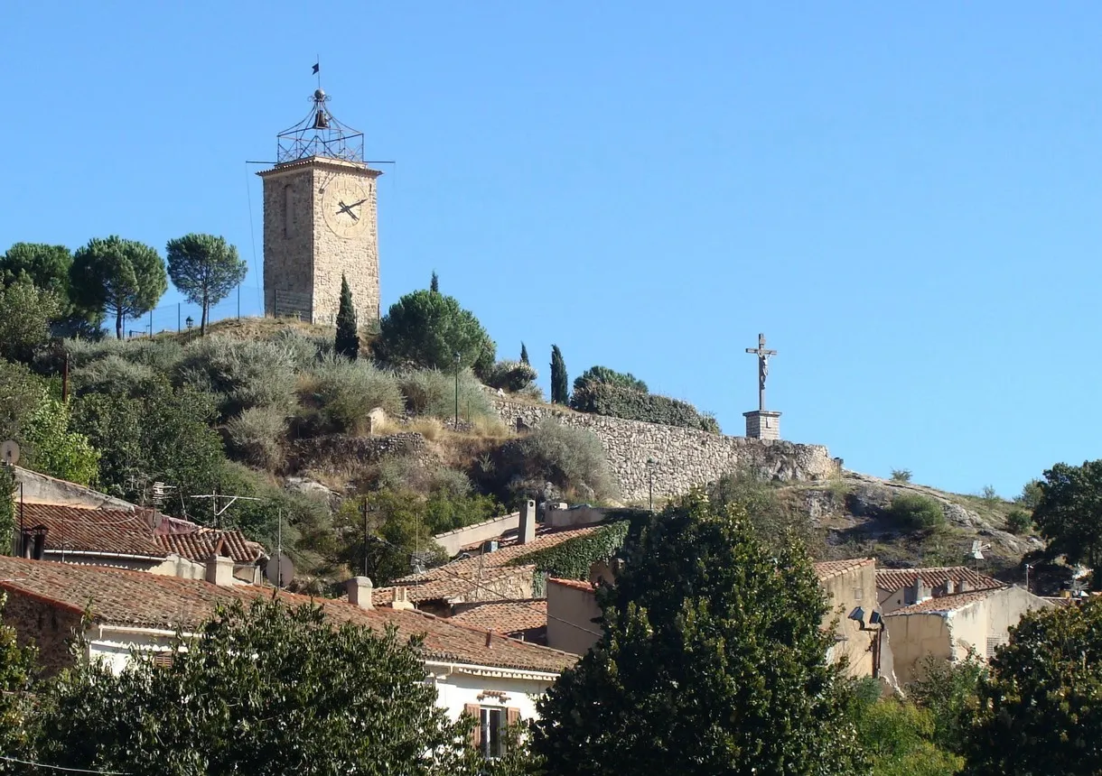
BarjolsVillageBarjols is a delightful village renowned for its impressive water fountains and quaint squares.
97 km
97 km
Collet de Baudusself313 mPeakCollet de Baudusself offers scenic views and a challenging ascent for cyclists.
119 km
119 km
RougiersVillageDiscover the hidden gem of Rougiers, a charming village surrounded by nature.
120 km
120 km
Piégu618 mPeakPiégu is a small hamlet with traditional Provençal houses and picturesque streets.
132 km
132 km
Saint-ZacharieVillageStart your cycling adventure in Saint-Zacharie, a lovely village in Provence-Alpes-Côte d’Azur.
131 km
131 km
Finish: Saint-Zacharie Village centerSaint-Zacharie: Challenging climbs and scenic rides in Provence-Alpes-Côte d’Azur.
Cycling routes from Saint-Zacharie:
Gravel Adventure in Saint-Zacharie Tour de Saint-Zacharie and Surrounding Mountains Scenic Route through Provence Scenic Road Cycling Route Gravel Loop through Natural Beauty Discover the Provencal Countryside Explore the Gravel Trails of Saint-Zacharie Discover the Hidden Gems of the Region Road Cycling Adventure to Saint-Zacharie Gravel Route through Saint-Zacharie
Cycling routes nearby: