Gravel Route through Saint-Zacharie
A gravel cycling route starting from Saint-Zacharie
Exploring the rugged terrain near Saint-Zacharie
Map
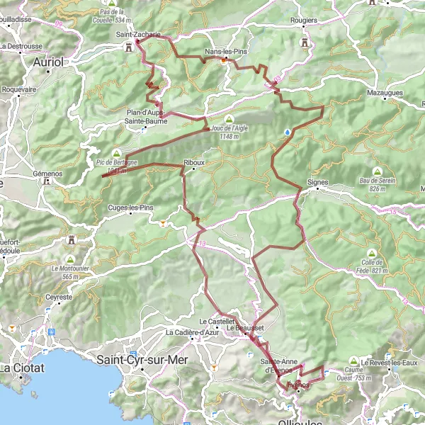
This 116-kilometer gravel route offers cyclists the chance to explore the picturesque landscapes around Saint-Zacharie. With a total ascent of 2693 meters, it is a challenging ride that rewards riders with stunning views. The route passes through charming towns such as Nans-les-Pins, Château Roux, and Riboux. With a difficulty rating of 4 and an epicness level of 4, this route is perfect for experienced gravel cyclists looking for a memorable adventure.
gravel
116 km
2693 m
Tough
Route profile
Highlights on the route
0 km
0 km
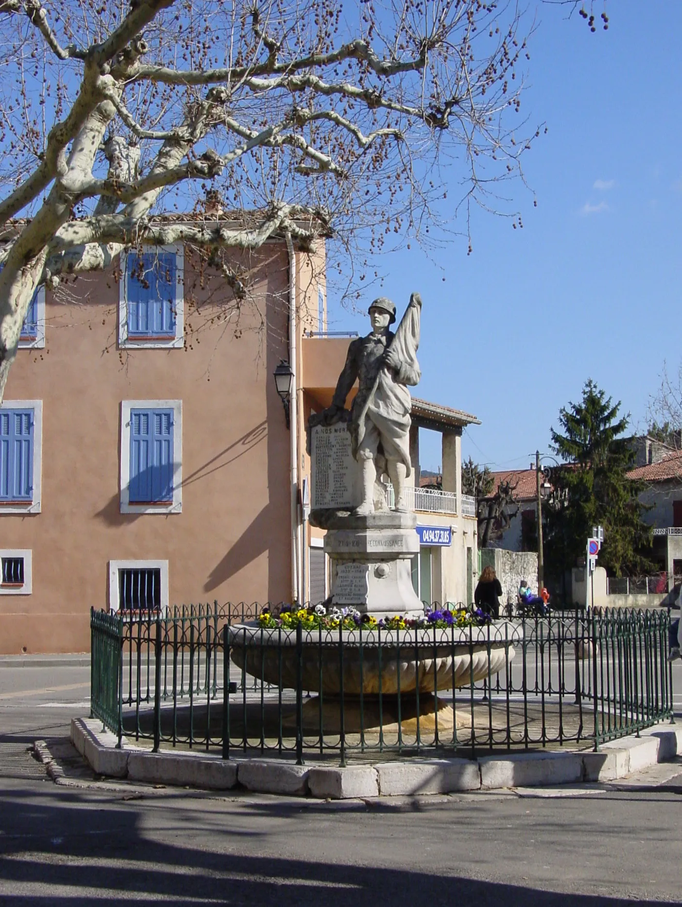
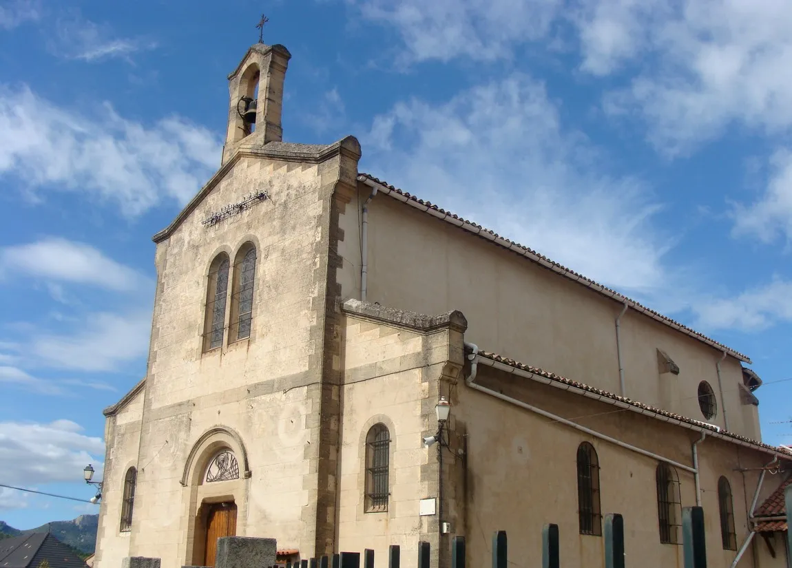
Start: Saint-Zacharie Village centerSaint-Zacharie: Challenging climbs and scenic rides in Provence-Alpes-Côte d’Azur.
Saint-Zacharie is a picturesque town located in the Provence-Alpes-Côte d’Azur region of France. As a road and gravel cyclist, you'll find a variety of cycling options in this area. The nearby Montagne de la Sainte-Baume is a well-known cycling destination, offering challenging climbs and stunning views. With its beautiful scenery and cycling-friendly atmosphere, Saint-Zacharie is a great choice for cyclists looking for a mix of challenging routes and breathtaking landscapes.8 km
8 km
Nans-les-PinsVillageNans-les-Pins is a picturesque town known for its charming Provençal houses and vineyards.
13 km
13 km
Pey Valier587 mPeakPey Valier offers panoramic views over the surrounding countryside.
28 km
28 km
Château Roux694 mPeakChâteau Roux is a quaint village with historical buildings and a tranquil atmosphere.
51 km
51 km
Sainte-Anne d'ÉvenosVillageSainte-Anne d'Évenos features a beautiful church and traditional Provençal architecture.
68 km
68 km
Le BeaussetVillageLe Beausset is known for its Renaissance-era churches and stunning views of the rolling hills.
70 km
70 km
Pié Redon193 mPeakPié Redon offers scenic routes for hiking and mountain biking, with views of rugged landscapes.
84 km
84 km
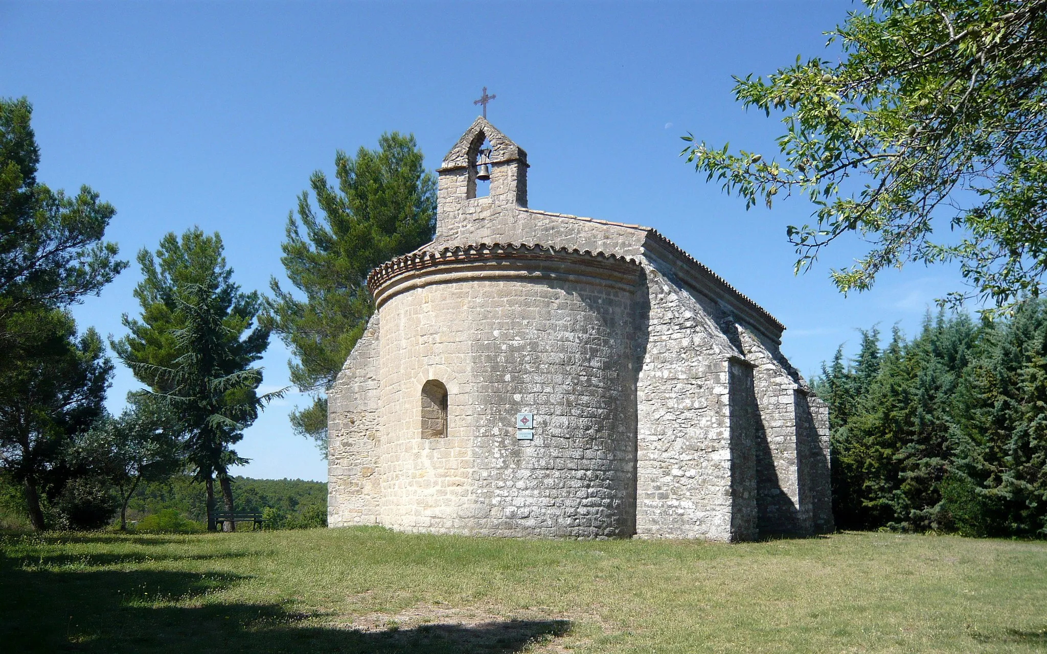
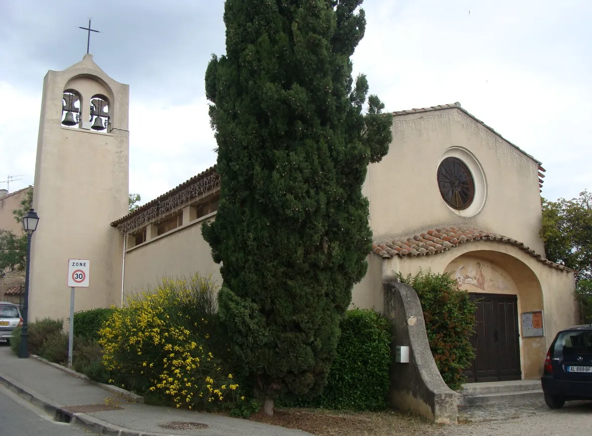
RibouxVillageRiboux is a picturesque village nestled in the hills, with charming stone houses and narrow streets.
94 km
94 km
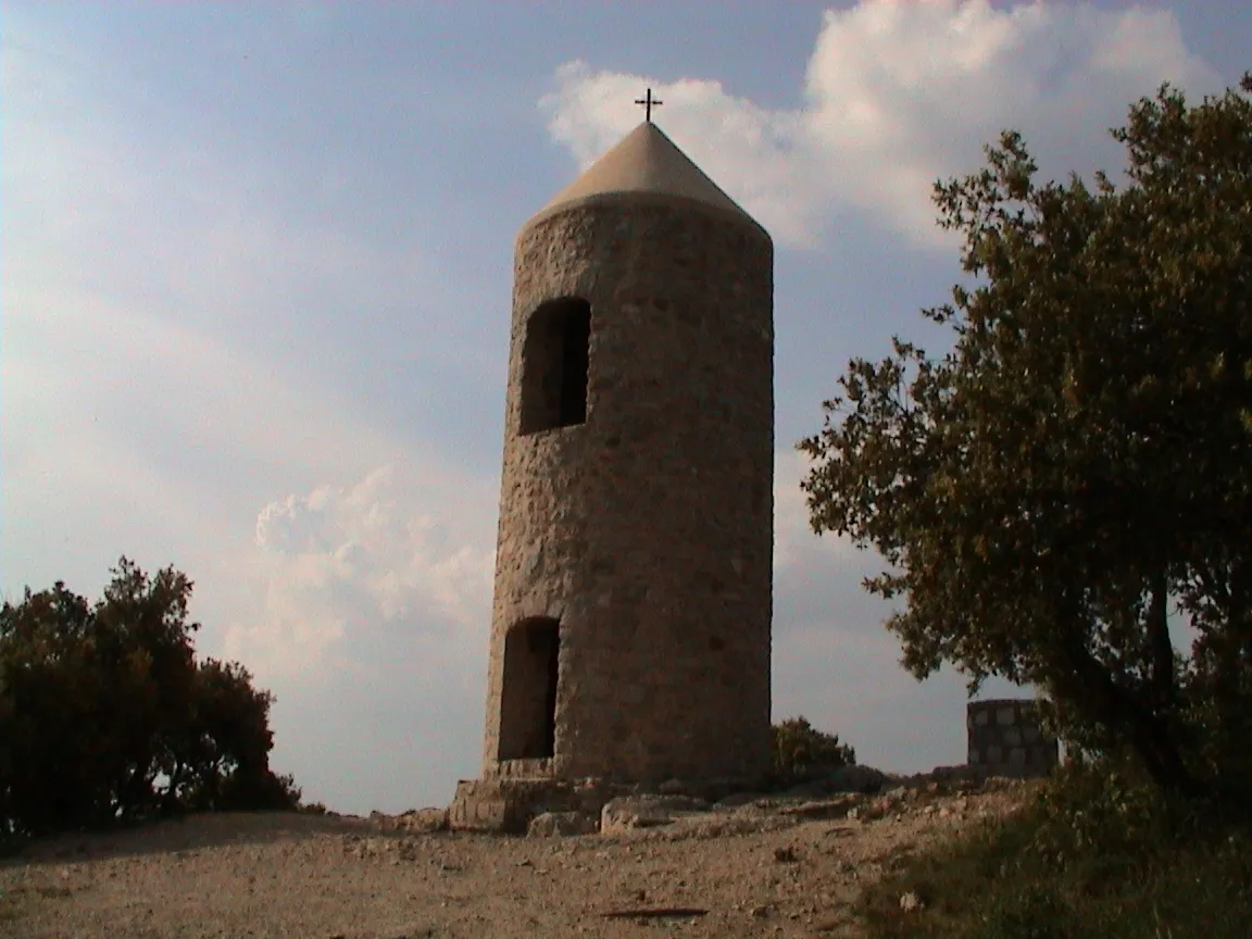
Pic de Bertagne1041 mPeakPic de Bertagne is a popular hiking spot offering stunning views of the Var region.
116 km
116 km
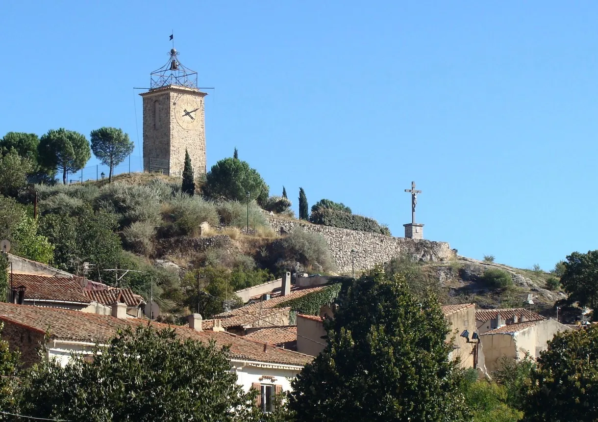
Saint-ZacharieVillageSaint-Zacharie is a delightful village with medieval streets, charming shops, and a rich history.
116 km
116 km
Finish: Saint-Zacharie Village centerSaint-Zacharie: Challenging climbs and scenic rides in Provence-Alpes-Côte d’Azur.
Cycling routes from Saint-Zacharie:
Gravel Adventure in Saint-Zacharie Tour de Saint-Zacharie and Surrounding Mountains Scenic Route through Provence Scenic Road Cycling Route Gravel Loop through Natural Beauty Discover the Provencal Countryside Explore the Gravel Trails of Saint-Zacharie Discover the Hidden Gems of the Region Road Cycling Adventure to Saint-Zacharie Gravel Route through Saint-Zacharie
Cycling routes nearby: