Road Cycling Adventure to Saint-Zacharie
A road cycling route starting from Saint-Zacharie
Embark on an epic road cycling adventure to Saint-Zacharie
Map
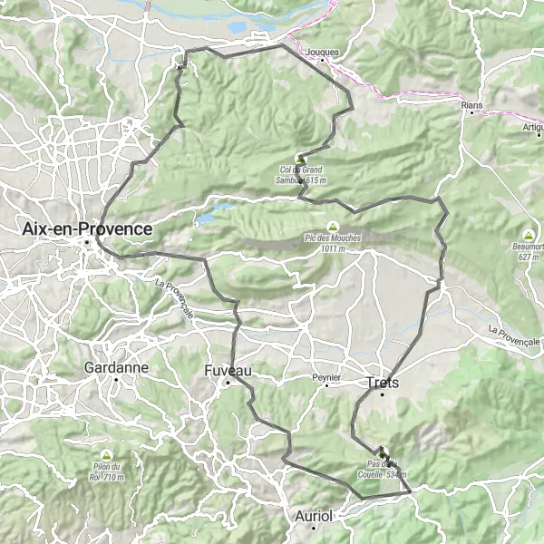
This 116-kilometer road cycling route takes riders on an epic adventure to the charming village of Saint-Zacharie. With a total ascent of 1794 meters, it challenges cyclists with varied terrain and incredible views. The route passes through Belcodène, Aix-en-Provence, and Peyrolles-en-Provence, offering a mix of scenic beauty and historic landmarks. With a difficulty rating of 4 and an epicness level of 4, this route is perfect for road cyclists looking for a challenging and rewarding journey.
road
116 km
1794 m
Tough
Route profile
Highlights on the route
0 km
0 km
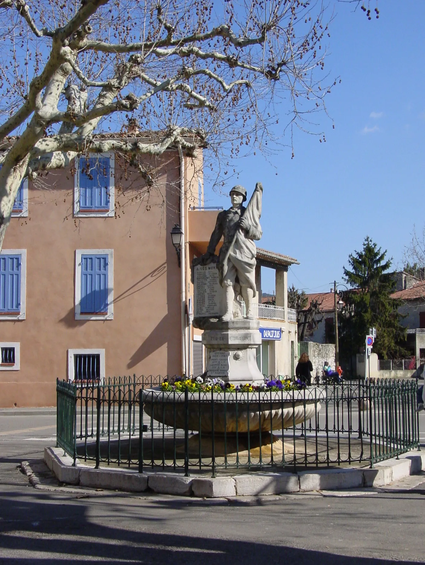
Start: Saint-Zacharie Village centerSaint-Zacharie: Challenging climbs and scenic rides in Provence-Alpes-Côte d’Azur.
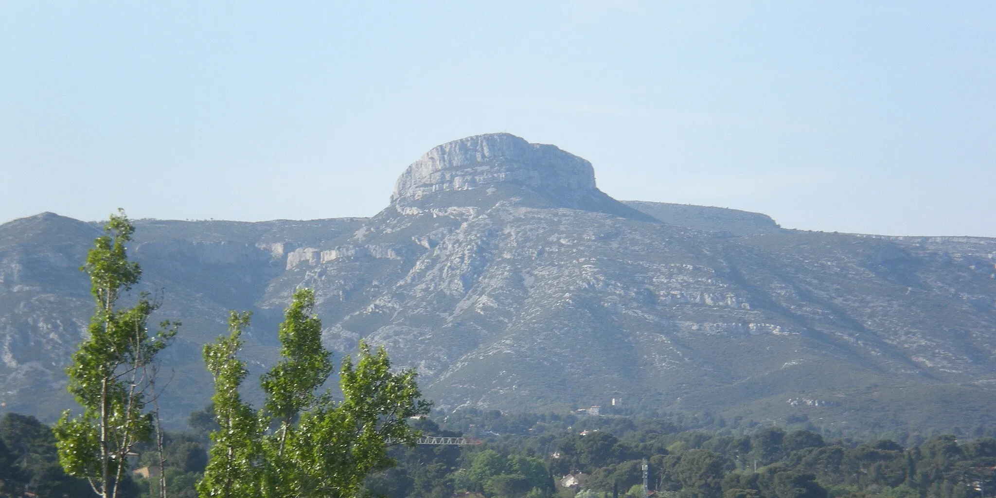
Saint-Zacharie is a picturesque town located in the Provence-Alpes-Côte d’Azur region of France. As a road and gravel cyclist, you'll find a variety of cycling options in this area. The nearby Montagne de la Sainte-Baume is a well-known cycling destination, offering challenging climbs and stunning views. With its beautiful scenery and cycling-friendly atmosphere, Saint-Zacharie is a great choice for cyclists looking for a mix of challenging routes and breathtaking landscapes.13 km
13 km
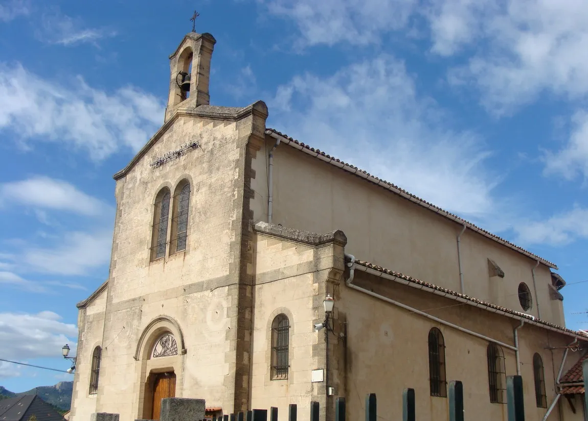
BelcodèneVillageBelcodène is a picturesque village known for its beautiful stone houses and thriving art scene.
36 km
36 km
Aix-en-ProvenceCityAix-en-Provence is a historic city renowned for its stunning architectural heritage and vibrant cultural scene.
50 km
50 km
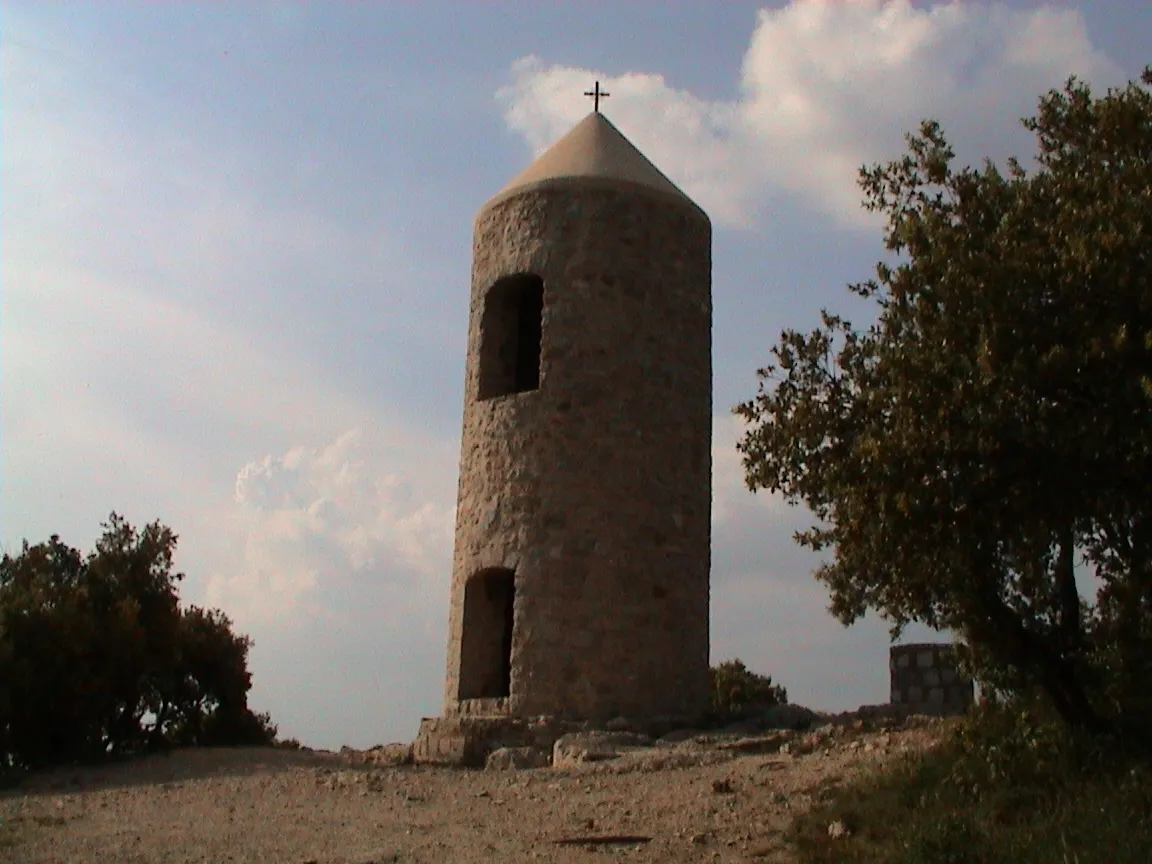
Table d'orientationViewpointTable d'orientation offers panoramic views over the scenic landscapes of Provence.
58 km
58 km
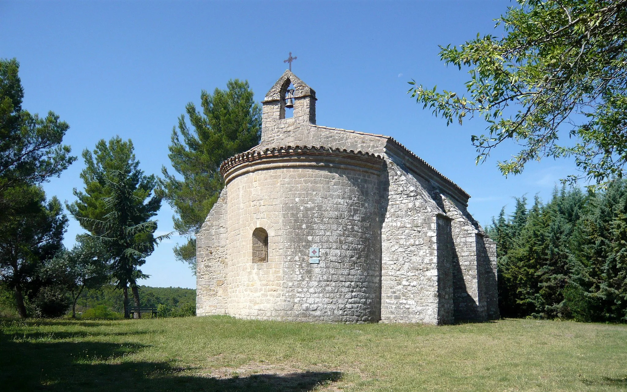
Peyrolles-en-ProvenceVillagePeyrolles-en-Provence features a charming old town and a picturesque lake, perfect for a refreshing break.
80 km
80 km
La citadelle720 mPeakLa citadelle boasts captivating historical architecture and breathtaking vistas of the surrounding countryside.
89 km
89 km
La Dispute571 mPeakLa Dispute is a hidden gem with beautiful hiking trails and panoramic views of the region.
102 km
102 km
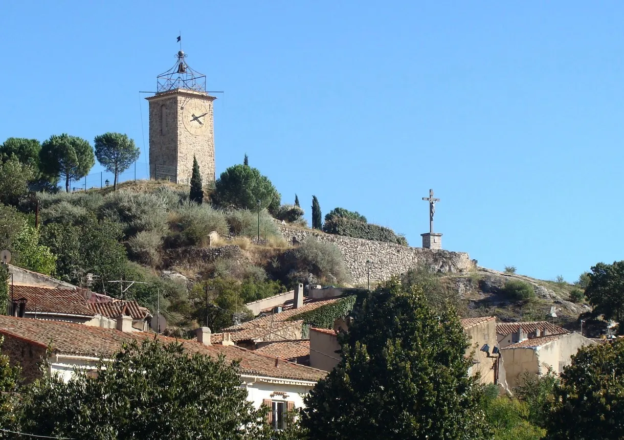
TretsTownTrets is a historic town known for its medieval architecture and charming narrow streets.
110 km
110 km
Pas de la Couelle534 mMountain PassPas de la Couelle offers sweeping views of the surrounding countryside.
116 km
116 km
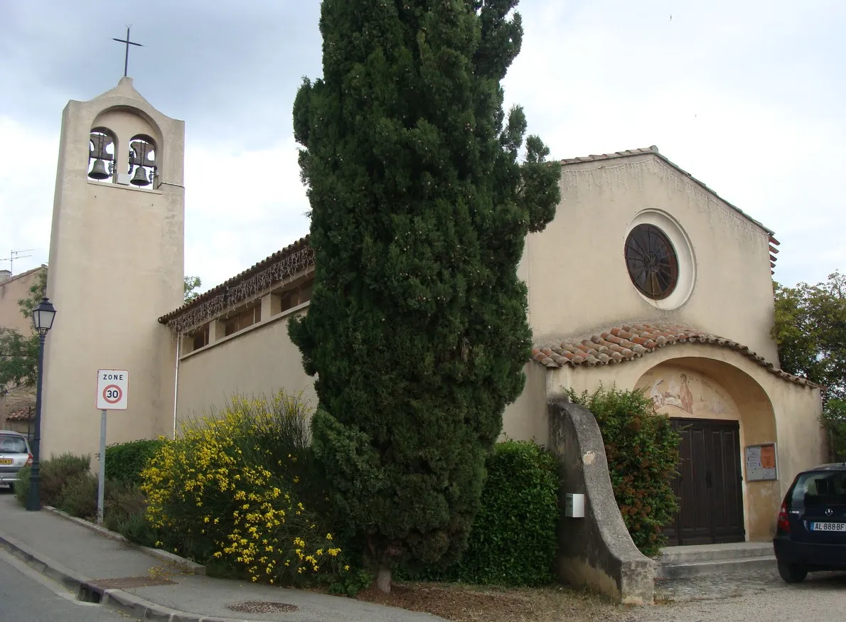
Saint-ZacharieVillageSaint-Zacharie is a delightful village with medieval streets, charming shops, and a rich history.
116 km
116 km
Finish: Saint-Zacharie Village centerSaint-Zacharie: Challenging climbs and scenic rides in Provence-Alpes-Côte d’Azur.
Cycling routes from Saint-Zacharie:
Gravel Adventure in Saint-Zacharie Tour de Saint-Zacharie and Surrounding Mountains Scenic Route through Provence Scenic Road Cycling Route Gravel Loop through Natural Beauty Discover the Provencal Countryside Explore the Gravel Trails of Saint-Zacharie Discover the Hidden Gems of the Region Road Cycling Adventure to Saint-Zacharie Gravel Route through Saint-Zacharie
Cycling routes nearby: