Chaleins Gravel Route
A gravel cycling route starting from Arnas
Explore the scenic countryside surrounding Chaleins on this moderate gravel route
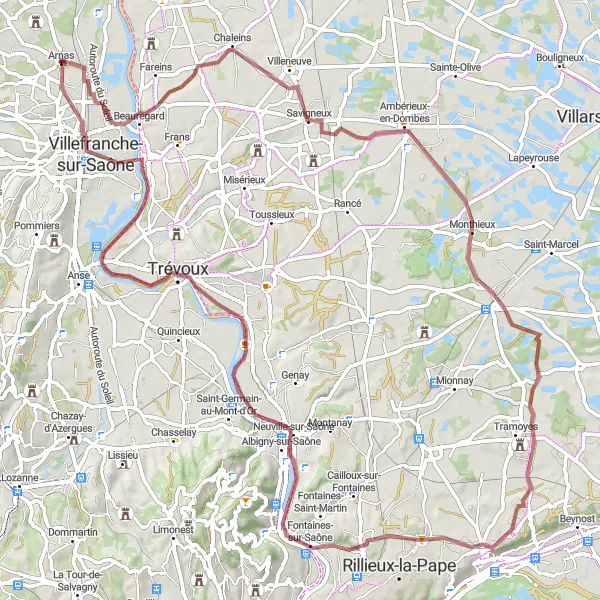
Map
This enjoyable gravel route takes cyclists through the charming countryside around Chaleins. With moderate difficulty, it is suitable for cyclists of various skill levels.
gravel
86 km
394 m
Chill
Route profile
Highlights on the route
0 km
0 km
Start: Arnas Village centerArnas: Hidden gem for road and gravel cyclists
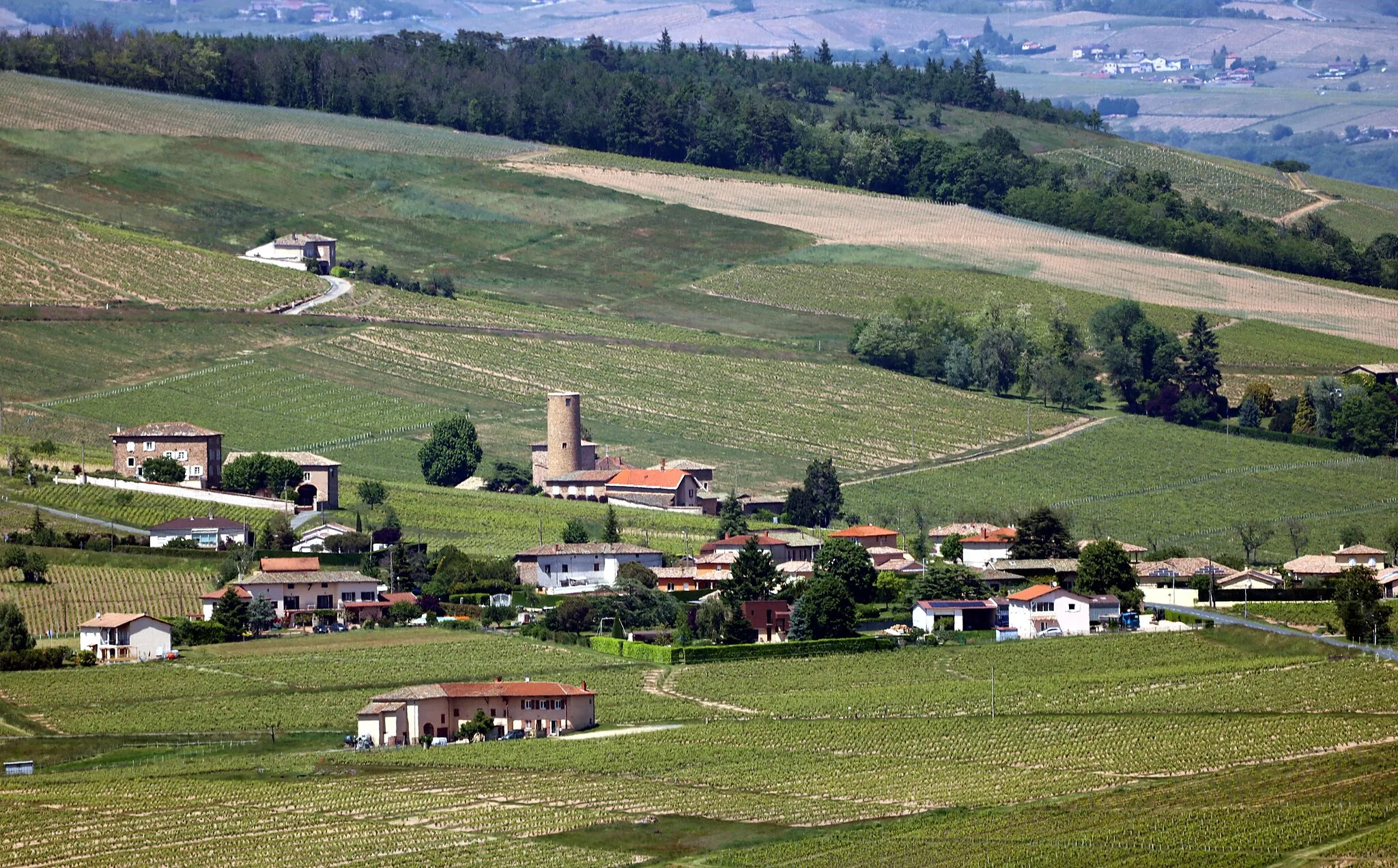
Arnas is a small town located in the Rhône-Alpes region of France. While it may not be a widely recognized cycling destination, there are some interesting routes to explore in the area. The town itself is charming, with its historic buildings and quiet streets. Nearby, you'll find rolling hills and picturesque countryside that offer opportunities for road and gravel cyclists. If you're looking for a less crowded alternative to popular cycling spots, Arnas is worth considering.11 km
11 km
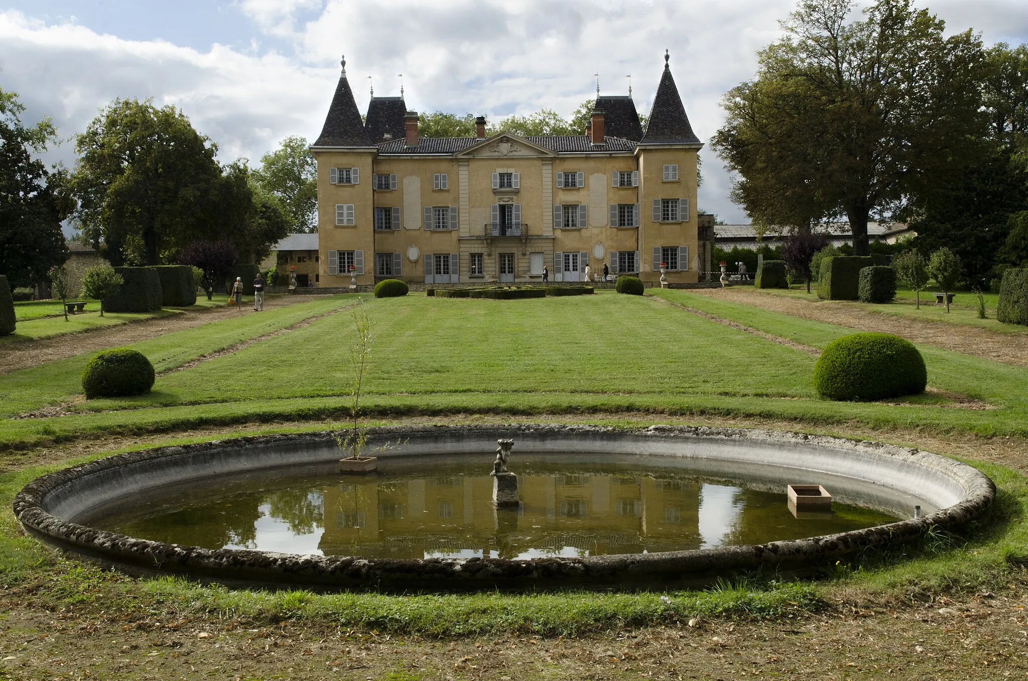
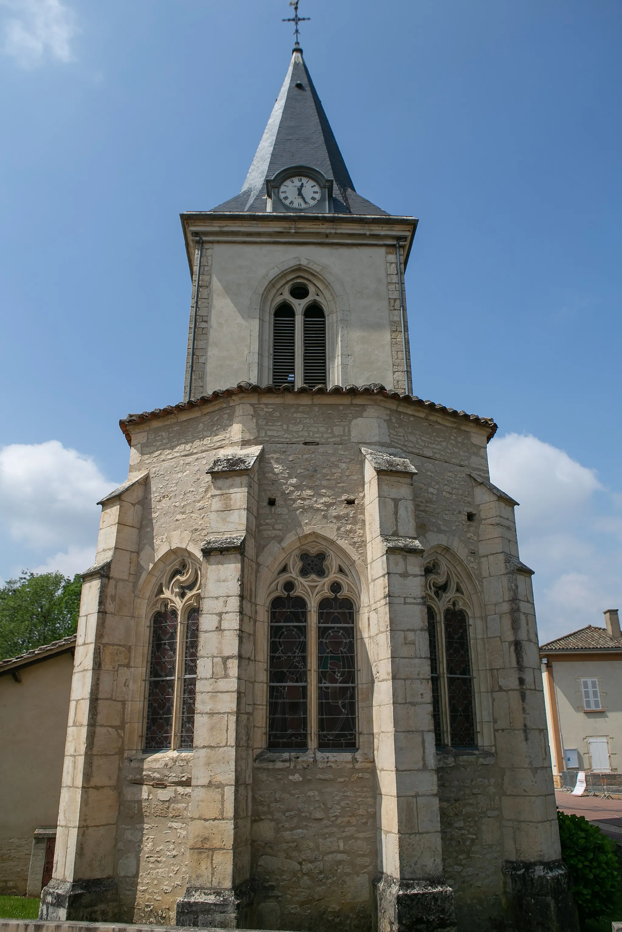
ChaleinsVillageChaleins, the starting point of the route, offers a peaceful escape from the bustling city life.
31 km
31 km
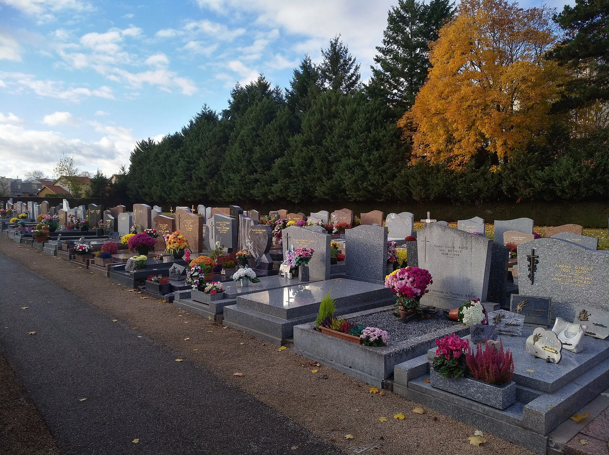
Saint-André-de-CorcyVillageSaint-André-de-Corcy is a small village located 31 kilometers into the route, offering beautiful views of the surrounding countryside.
38 km
38 km
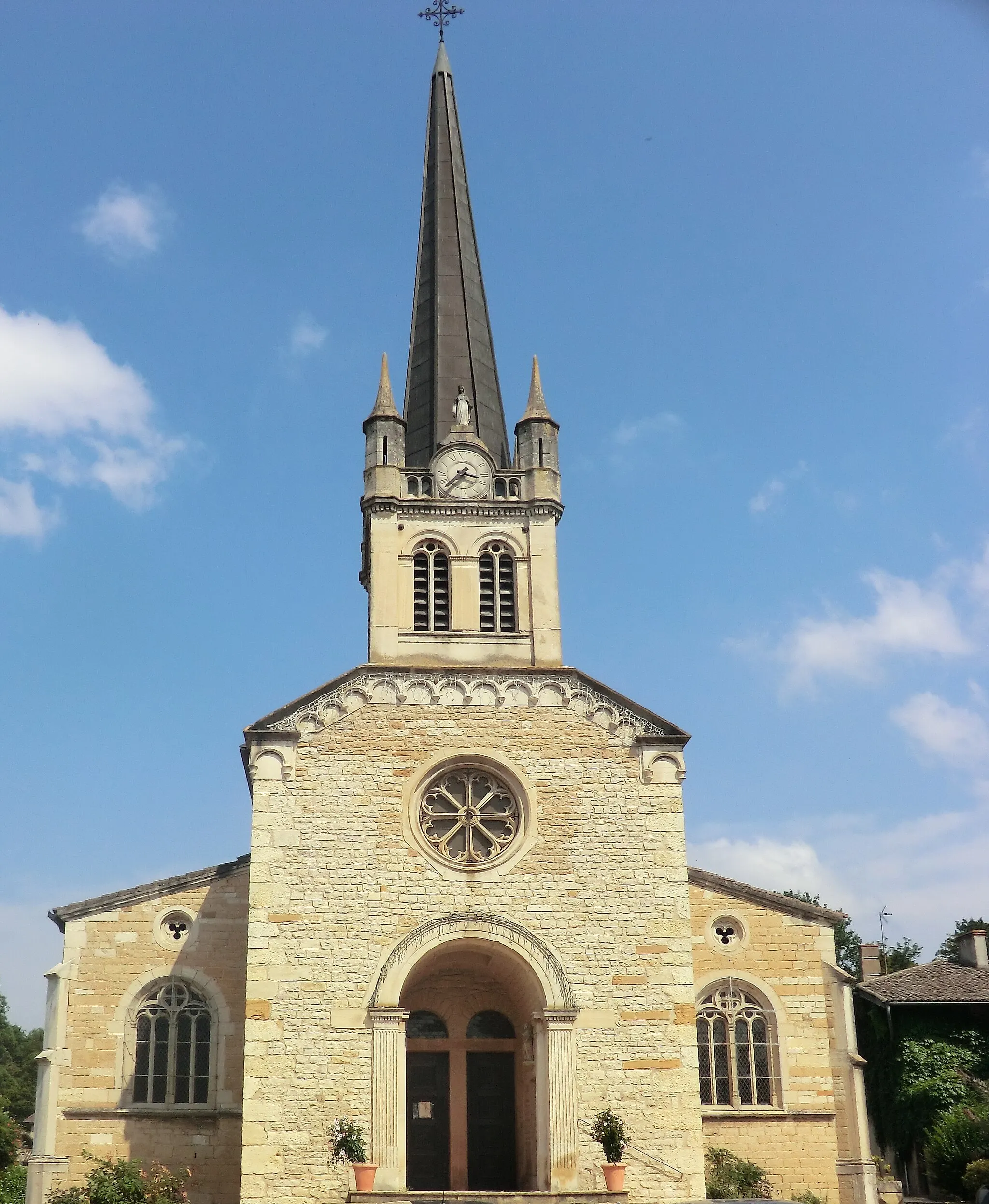
TramoyesVillageTramoyes, a charming village at 38 kilometers, is known for its traditional architecture and tranquil atmosphere.
58 km
58 km
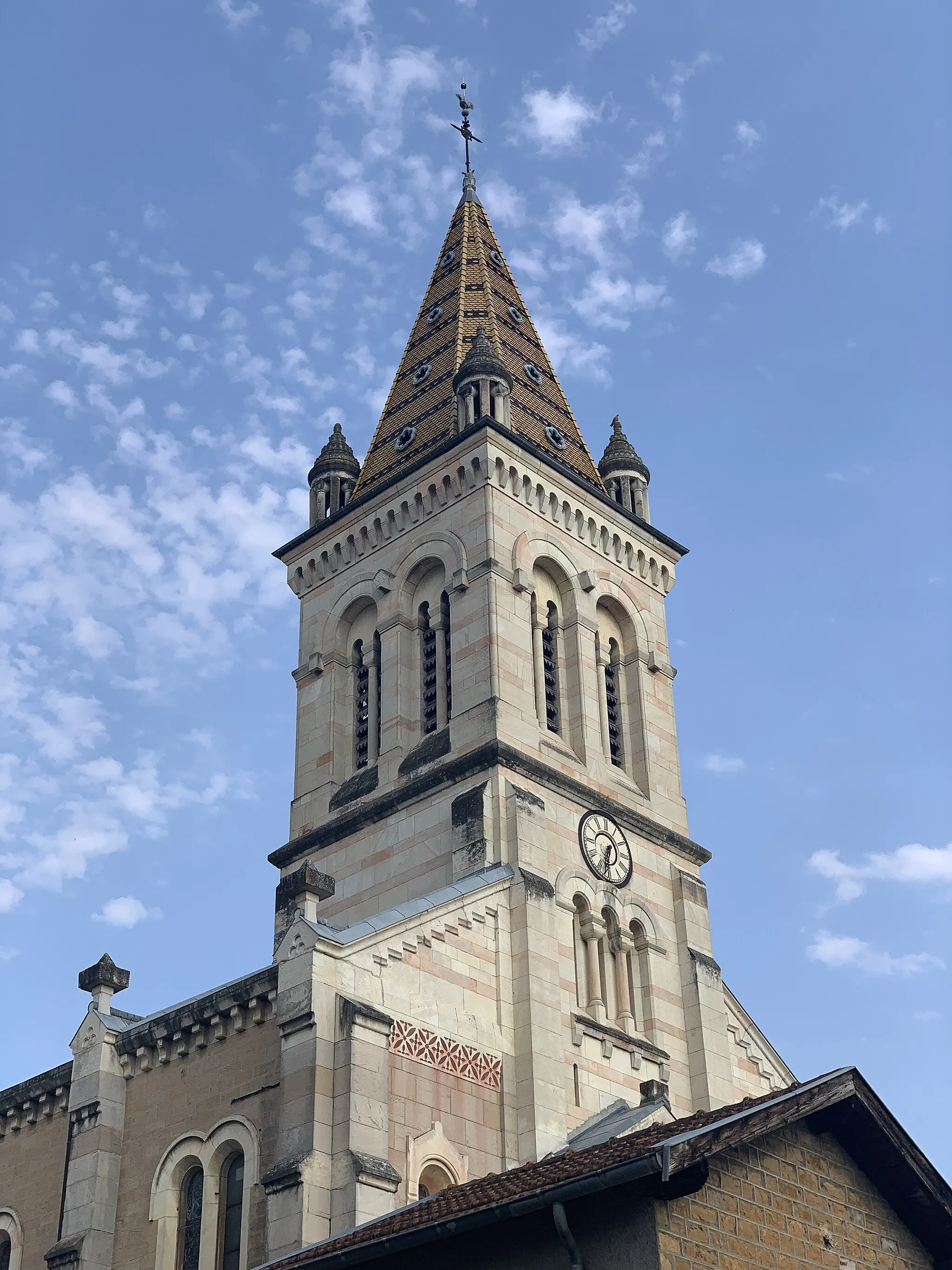
Albigny-sur-SaôneVillageAlbigny-sur-Saône, located 58 kilometers into the route, is a picturesque town nestled on the banks of the Saône River.
69 km
69 km
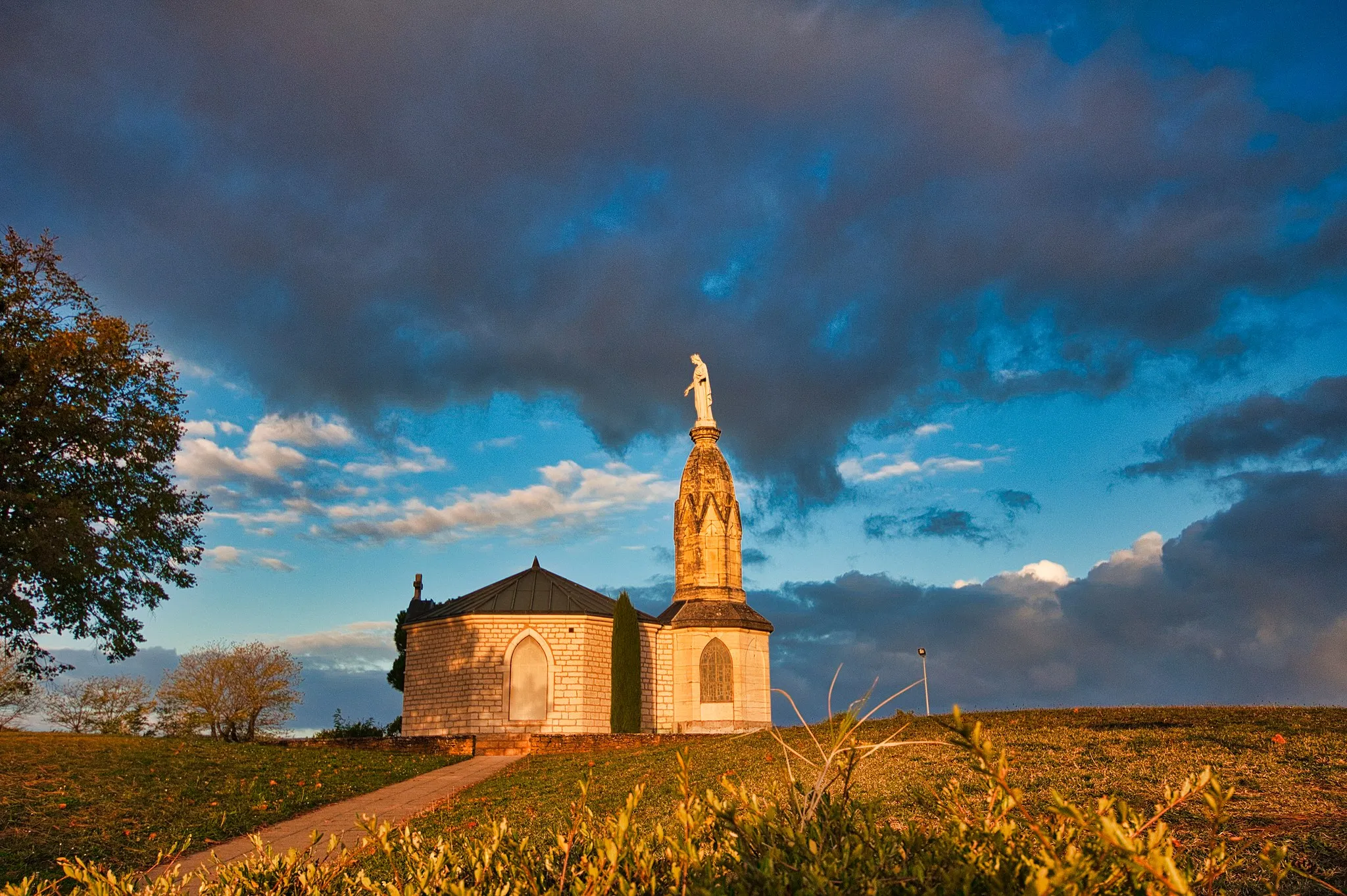
Panorama de la TerrasseViewpointPanorama de la Terrasse offers panoramic views of the stunning countryside, which can be enjoyed at the 69-kilometer mark.
81 km
81 km
Villefranche-sur-SaôneTownVillefranche-sur-Saône, the endpoint of the route, is a vibrant town known for its beautiful architecture and lively atmosphere.
86 km
86 km
Finish: Arnas Village centerArnas: Hidden gem for road and gravel cyclists
Cycling routes nearby: