Mountains and Legendary Climbs
A road cycling route starting from Arnas
Conquer challenging climbs and enjoy breathtaking mountain scenery on this road cycling route near Arnas
Map
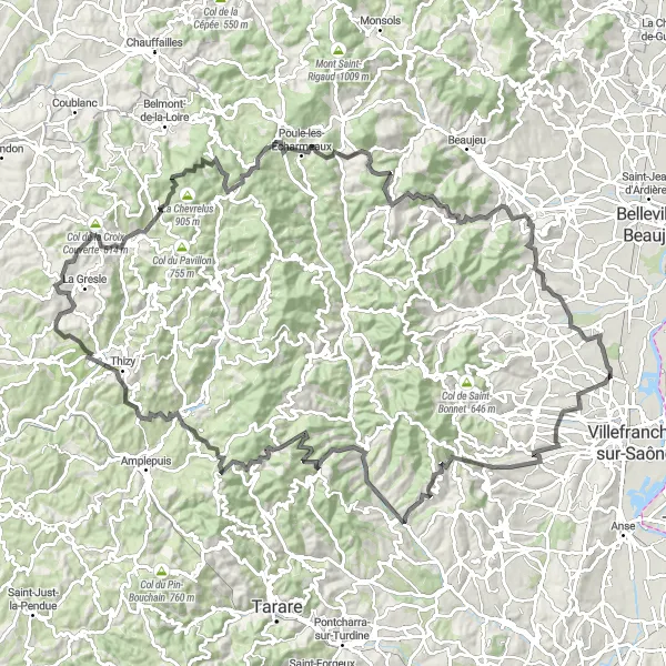
This route takes you through the stunning mountains of Rhône-Alpes, where you'll face challenging climbs and be rewarded with magnificent views. The difficulty level is high, suitable for experienced cyclists. The route covers a distance of 130 kilometers with an elevation gain of 2609 meters. With a score of 5 out of 5 for epicness, this route offers a legendary cycling experience with unforgettable highlights.
road
130 km
2609 m
Savage
Route profile
Highlights on the route
0 km
0 km
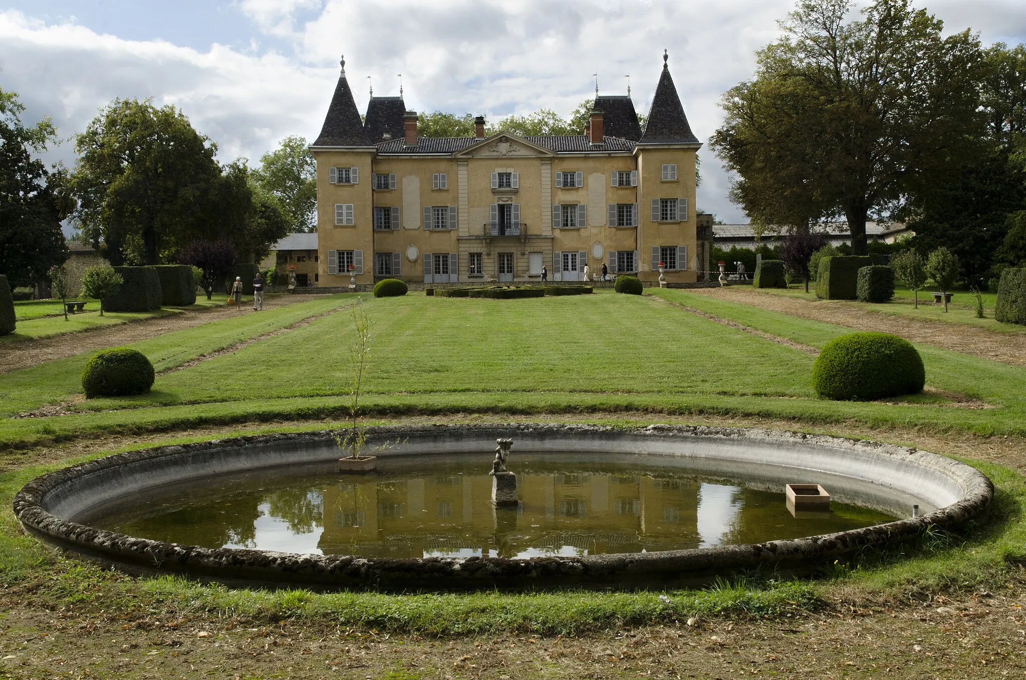
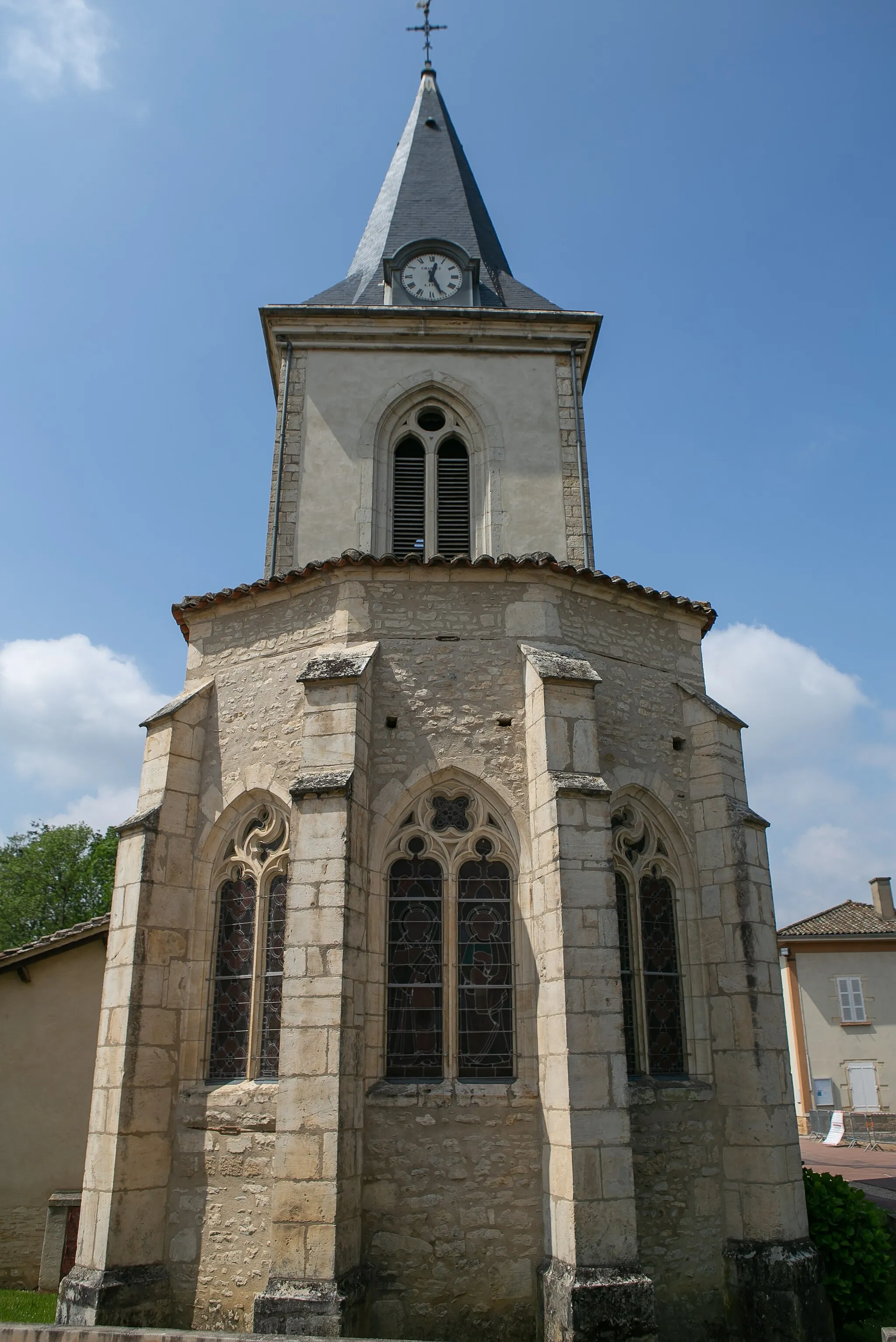
Start: Arnas Village centerArnas: Hidden gem for road and gravel cyclists
Arnas is a small town located in the Rhône-Alpes region of France. While it may not be a widely recognized cycling destination, there are some interesting routes to explore in the area. The town itself is charming, with its historic buildings and quiet streets. Nearby, you'll find rolling hills and picturesque countryside that offer opportunities for road and gravel cyclists. If you're looking for a less crowded alternative to popular cycling spots, Arnas is worth considering.8 km
8 km
LacenasVillageLacenas is a picturesque village located at the foot of the Monts d'Or. Enjoy a moment of tranquility by the lake and soak in the breathtaking views of the surrounding mountains.
23 km
23 km
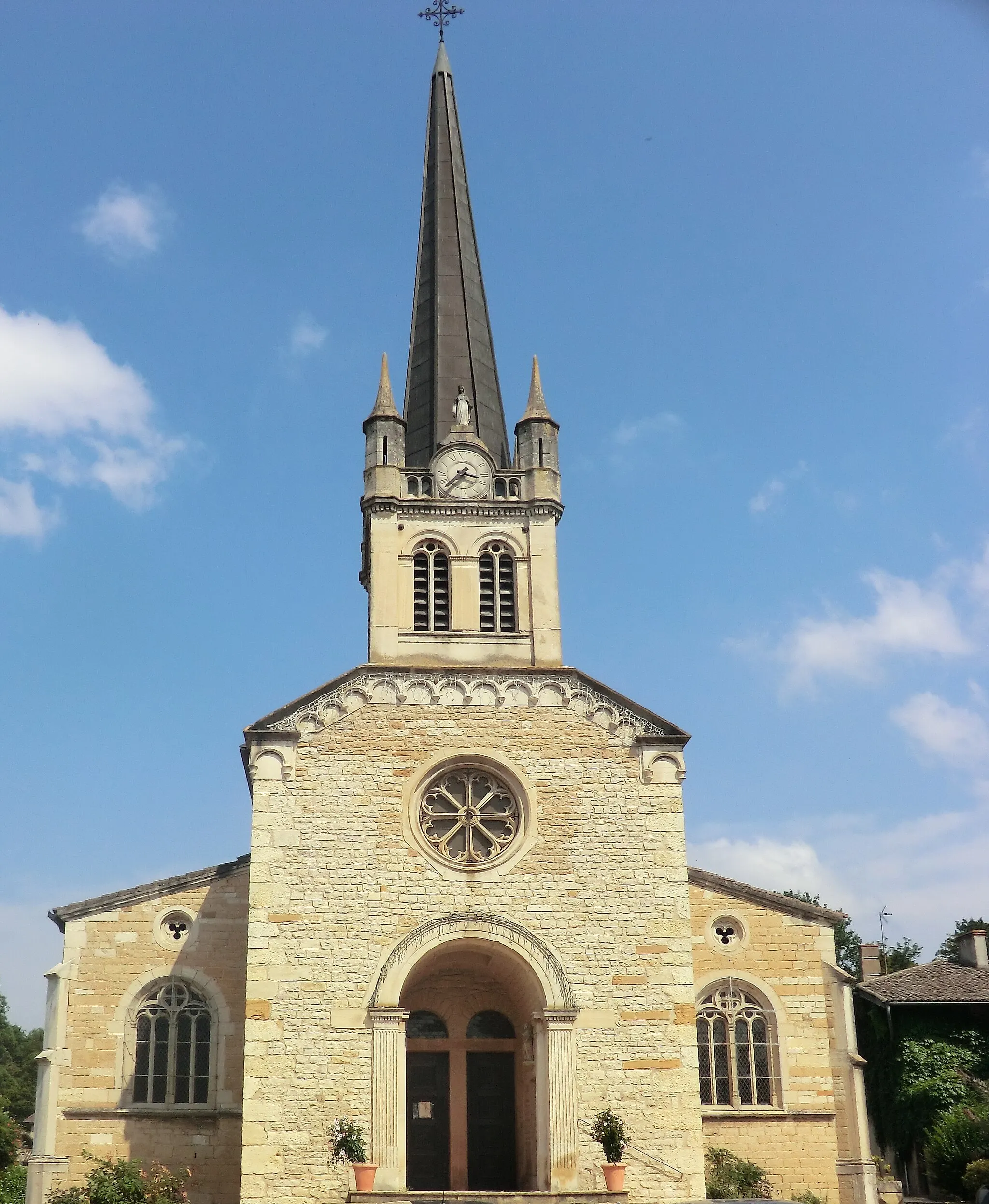
TernandVillageTernand is a medieval village perched on a hilltop, offering panoramic views of the surrounding mountains. Take a break and explore the narrow streets and historic buildings.
31 km
31 km
Col de la Croix de Thel650 mMountain PassCol de la Croix de Thel is a challenging climb that offers a sense of achievement once reached the top. Enjoy the panoramic views of the mountains and valleys as you descend.
46 km
46 km
RonnoVillageRonno is a charming mountain village known for its tranquil atmosphere and stunning natural surroundings. Take a moment to relax and enjoy the peacefulness of the countryside.
57 km
57 km
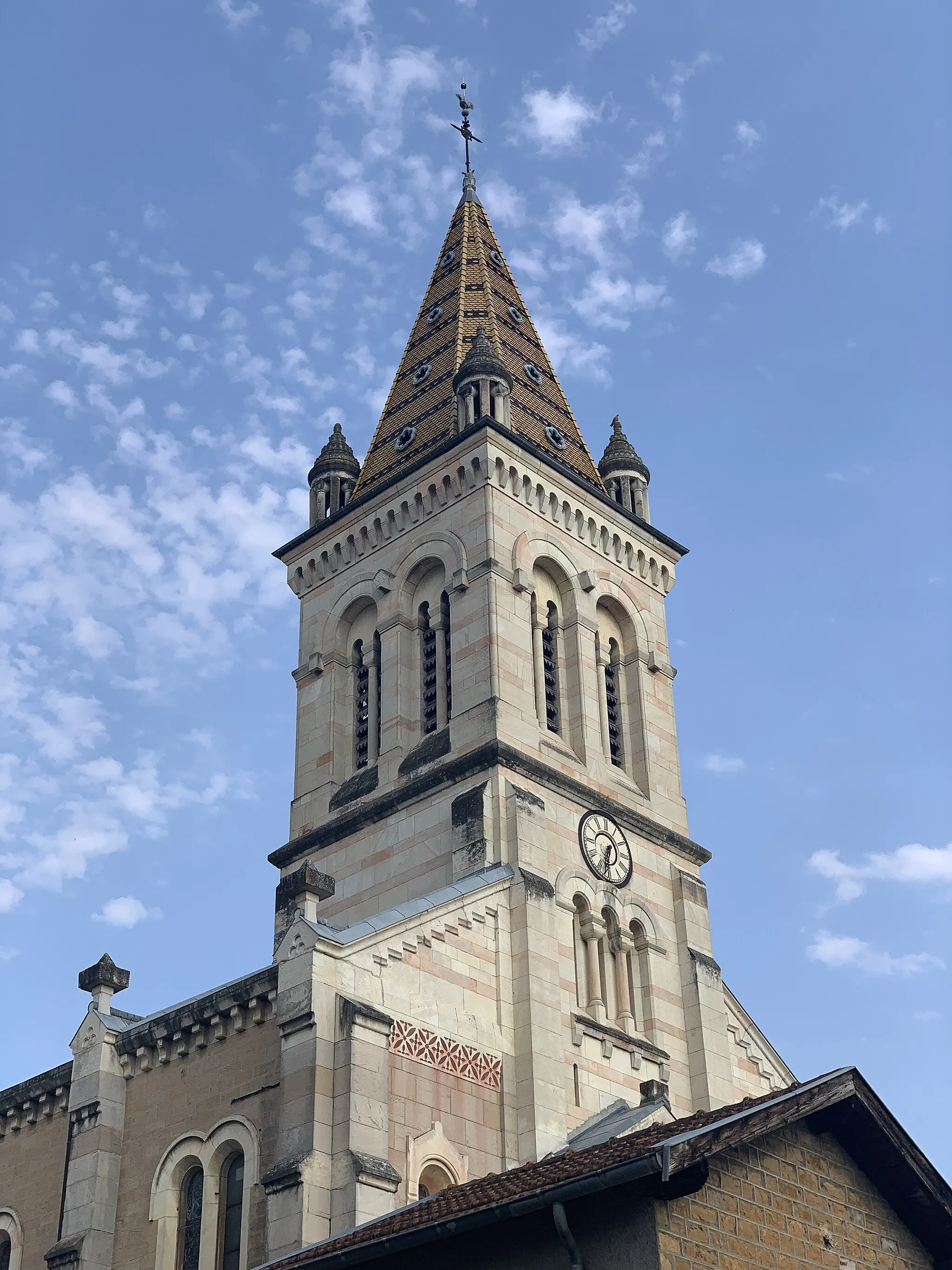
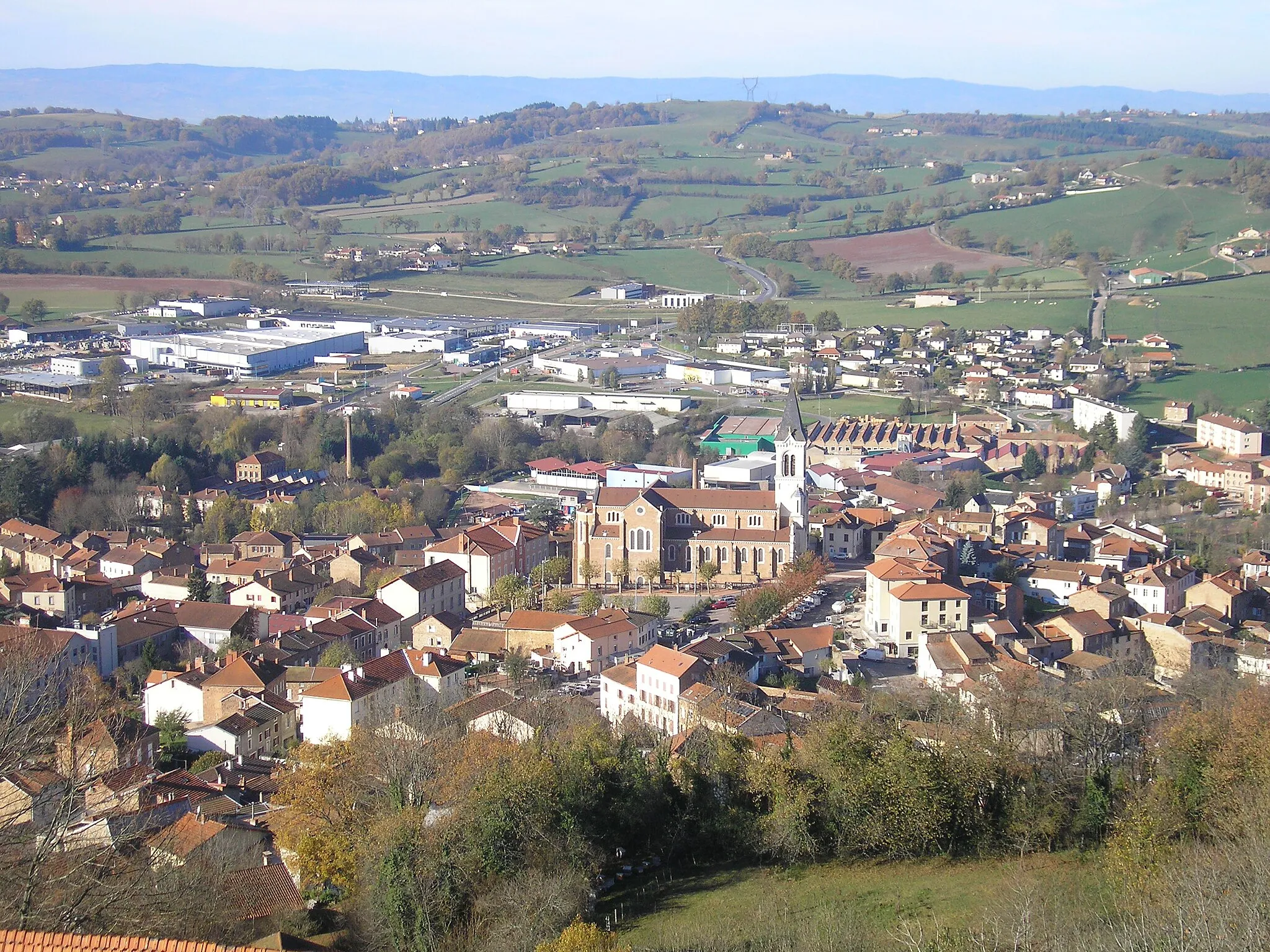
Bourg-de-ThizyVillageBourg-de-Thizy is a historic town located in the heart of the Monts du Beaujolais. Explore its narrow streets and visit the medieval castle for a glimpse into the region's history.
71 km
71 km
Col de la Croix Couverte614 mMountain PassCol de la Croix Couverte is a legendary climb known for its challenging gradient and stunning mountain scenery. Experience the thrill of conquering this iconic climb.
88 km
88 km
Col des Écorbans853 mMountain PassCol des Écorbans is a challenging climb that rewards you with breathtaking views of the surrounding valleys. Take a moment to rest and admire the beauty of the landscape.
94 km
94 km
Poule-les-ÉcharmeauxVillagePoule-les-Écharmeaux is a picturesque mountain village with narrow streets and traditional stone houses. Immerse yourself in the authentic mountain atmosphere and enjoy the tranquility of the surroundings.
114 km
114 km
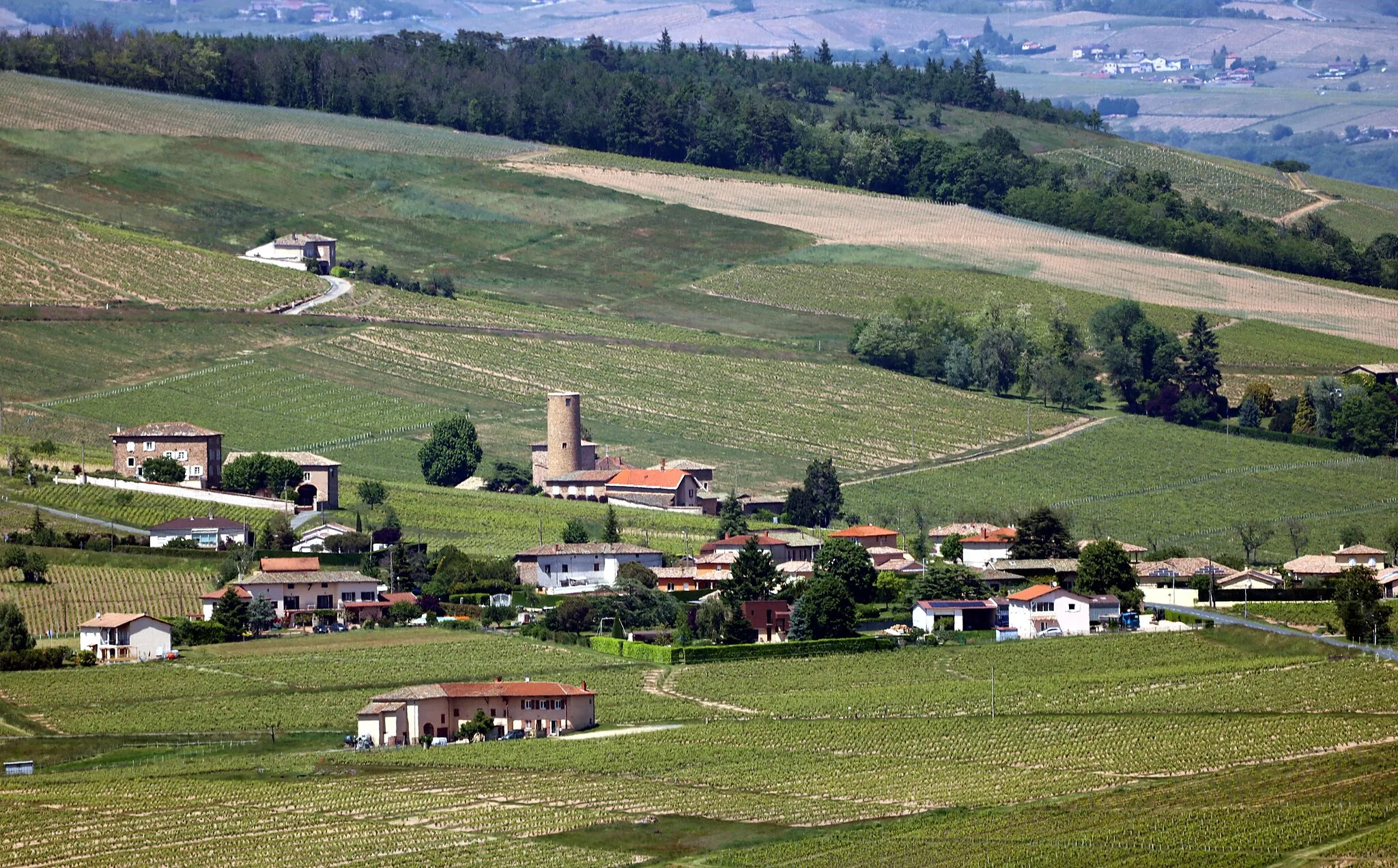
Quincié-en-BeaujolaisVillageQuincié-en-Beaujolais is a charming village located in the heart of the Beaujolais vineyards. Explore its narrow streets and visit the local wineries to taste the famous Beaujolais wines.
117 km
117 km
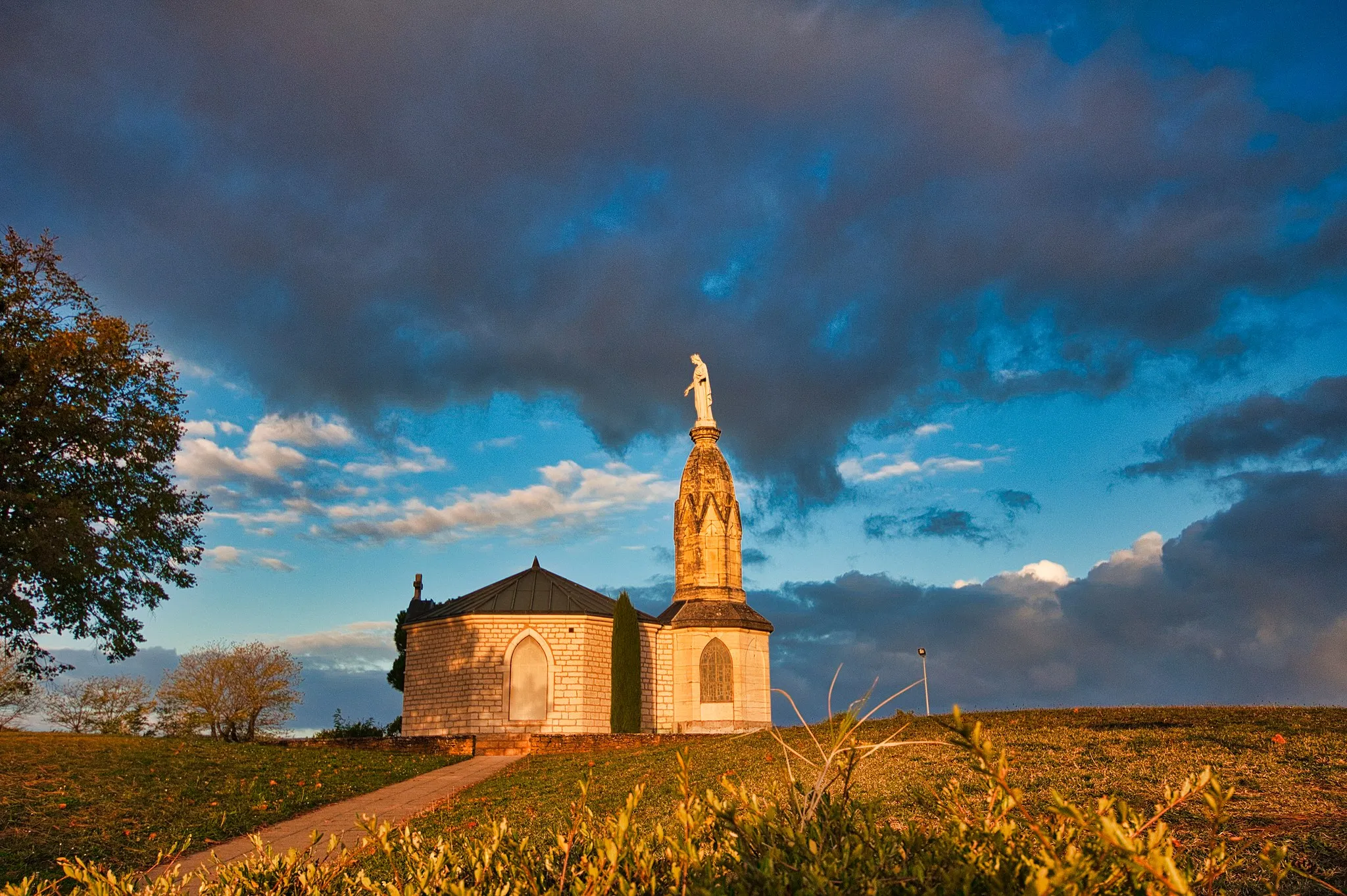
Mont Brouilly484 mPeakMont Brouilly is a famous climb in the Beaujolais region, known for its challenging gradient and stunning views. Conquer this iconic climb and experience the thrill of reaching the summit.
130 km
130 km
ArnasVillageArnas, the starting and ending point of this route, is a charming village nestled at the foot of the mountains. Explore its hidden corners and enjoy the warm hospitality of the locals.
130 km
130 km
Finish: Arnas Village centerArnas: Hidden gem for road and gravel cyclists
Cycling routes nearby: