Theizé Epic Road Route
A road cycling route starting from Arnas
Embark on an epic cycling journey through the picturesque landscapes around Theizé
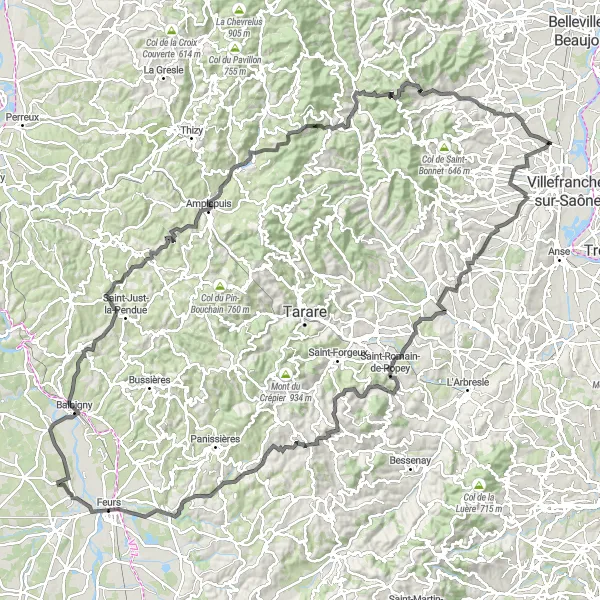
Map
This epic road route takes cyclists on a challenging journey through the scenic landscapes around Theizé. With a high difficulty level, it is suitable for experienced cyclists seeking a thrilling adventure.
road
156 km
2601 m
Savage
Route profile
Highlights on the route
0 km
0 km
Start: Arnas Village centerArnas: Hidden gem for road and gravel cyclists
Arnas is a small town located in the Rhône-Alpes region of France. While it may not be a widely recognized cycling destination, there are some interesting routes to explore in the area. The town itself is charming, with its historic buildings and quiet streets. Nearby, you'll find rolling hills and picturesque countryside that offer opportunities for road and gravel cyclists. If you're looking for a less crowded alternative to popular cycling spots, Arnas is worth considering.15 km
15 km
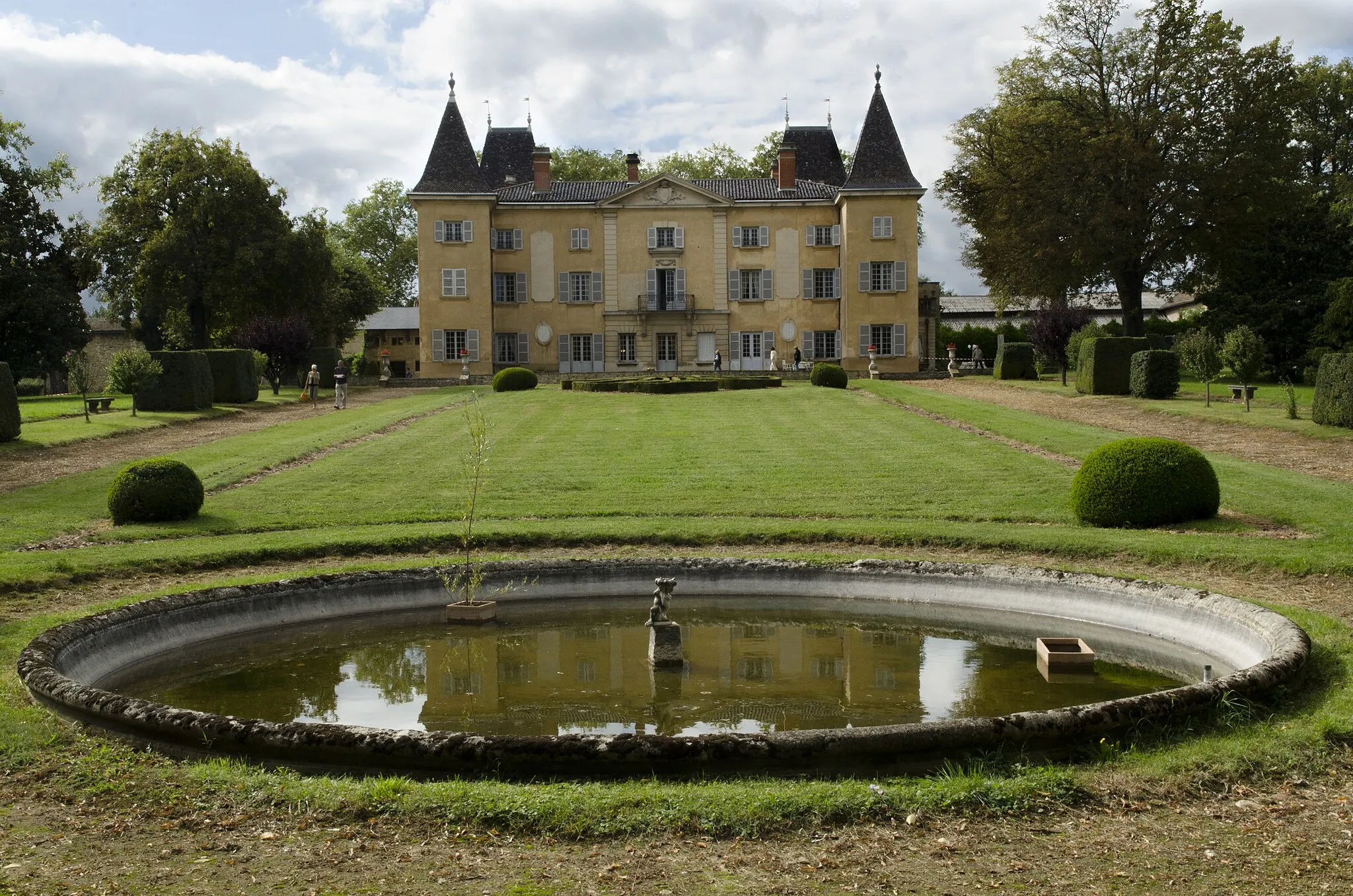
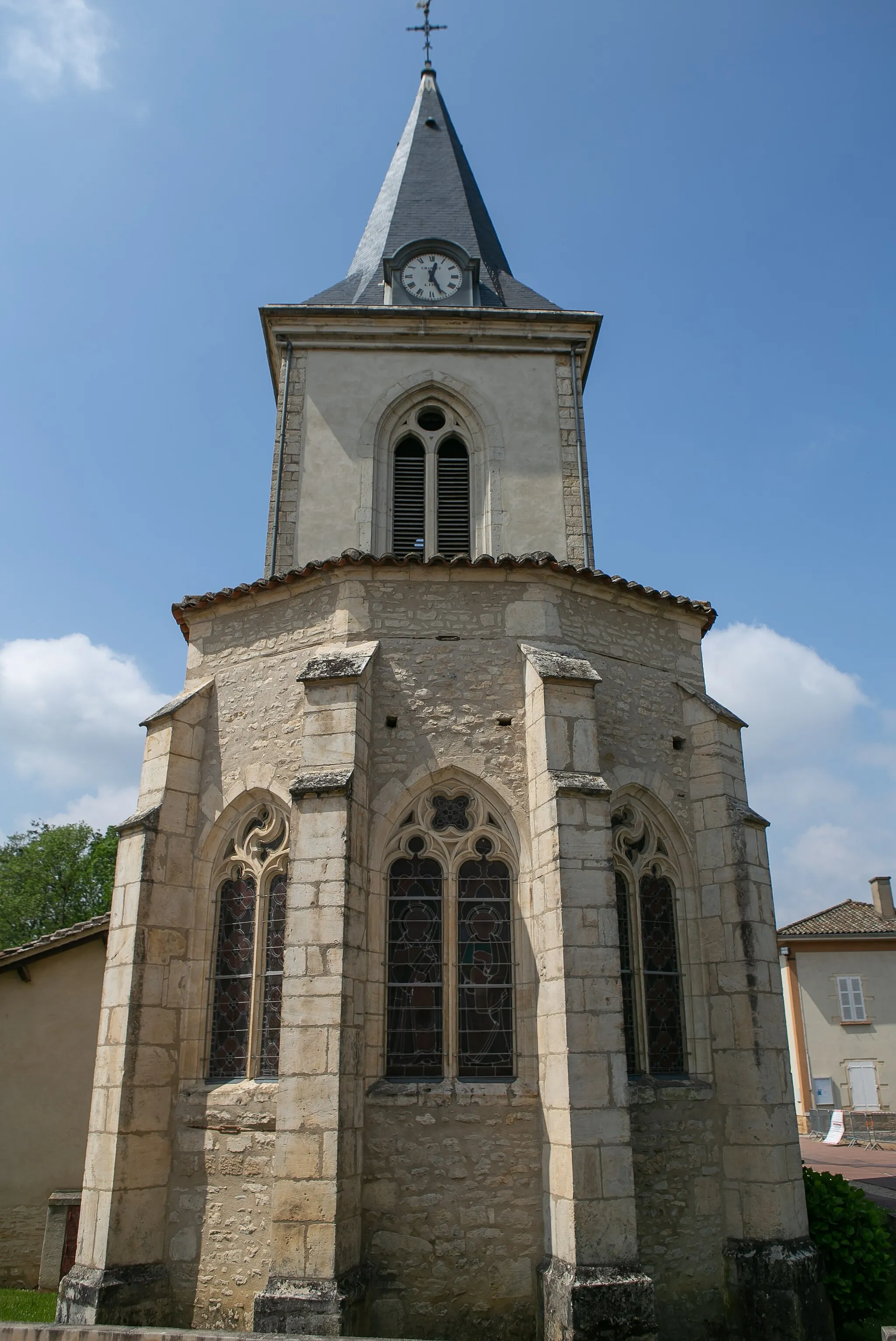
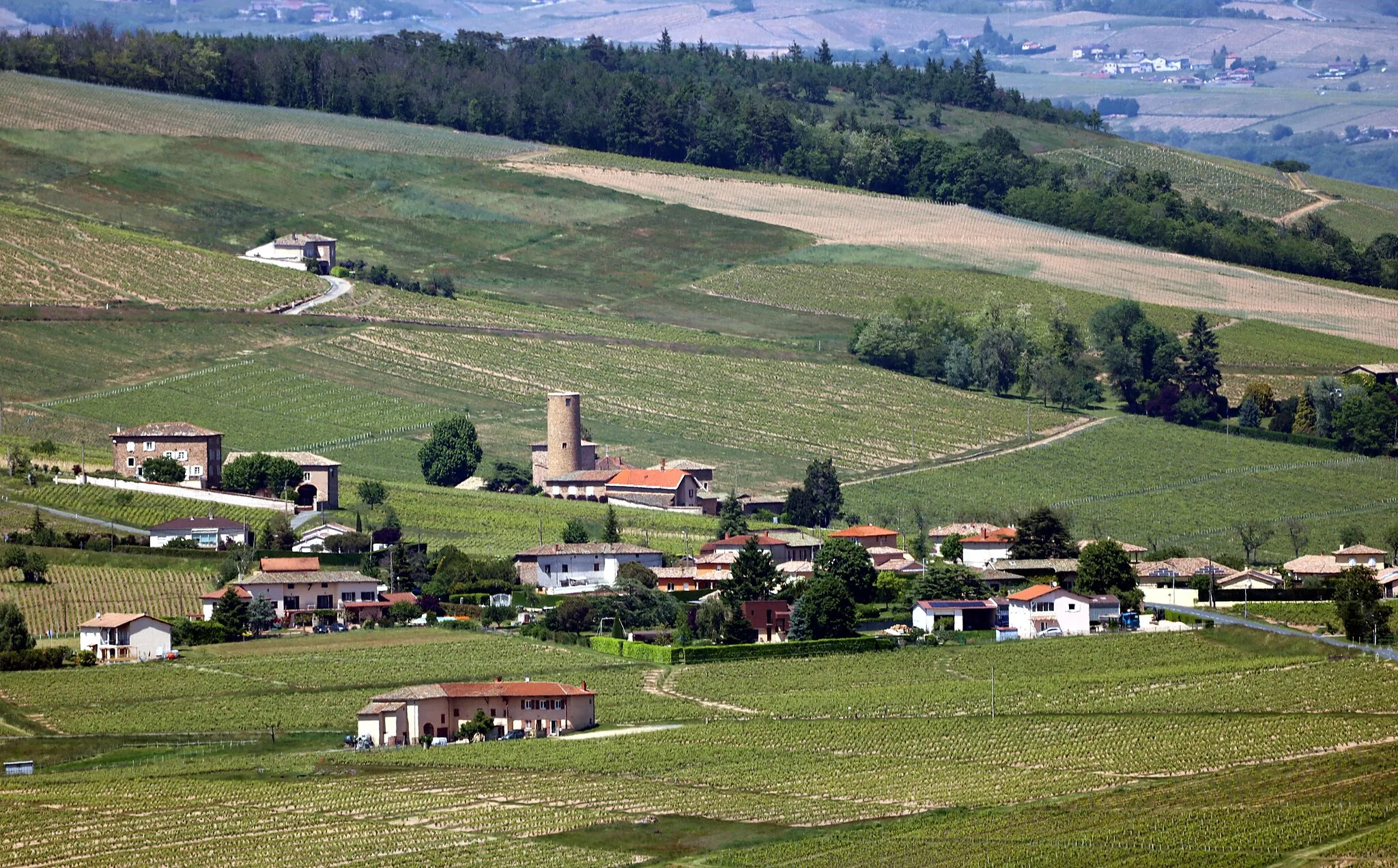
TheizéVillageTheizé, the starting point of the route, is a charming village perched on a hilltop, offering panoramic views of the Beaujolais region.
32 km
32 km
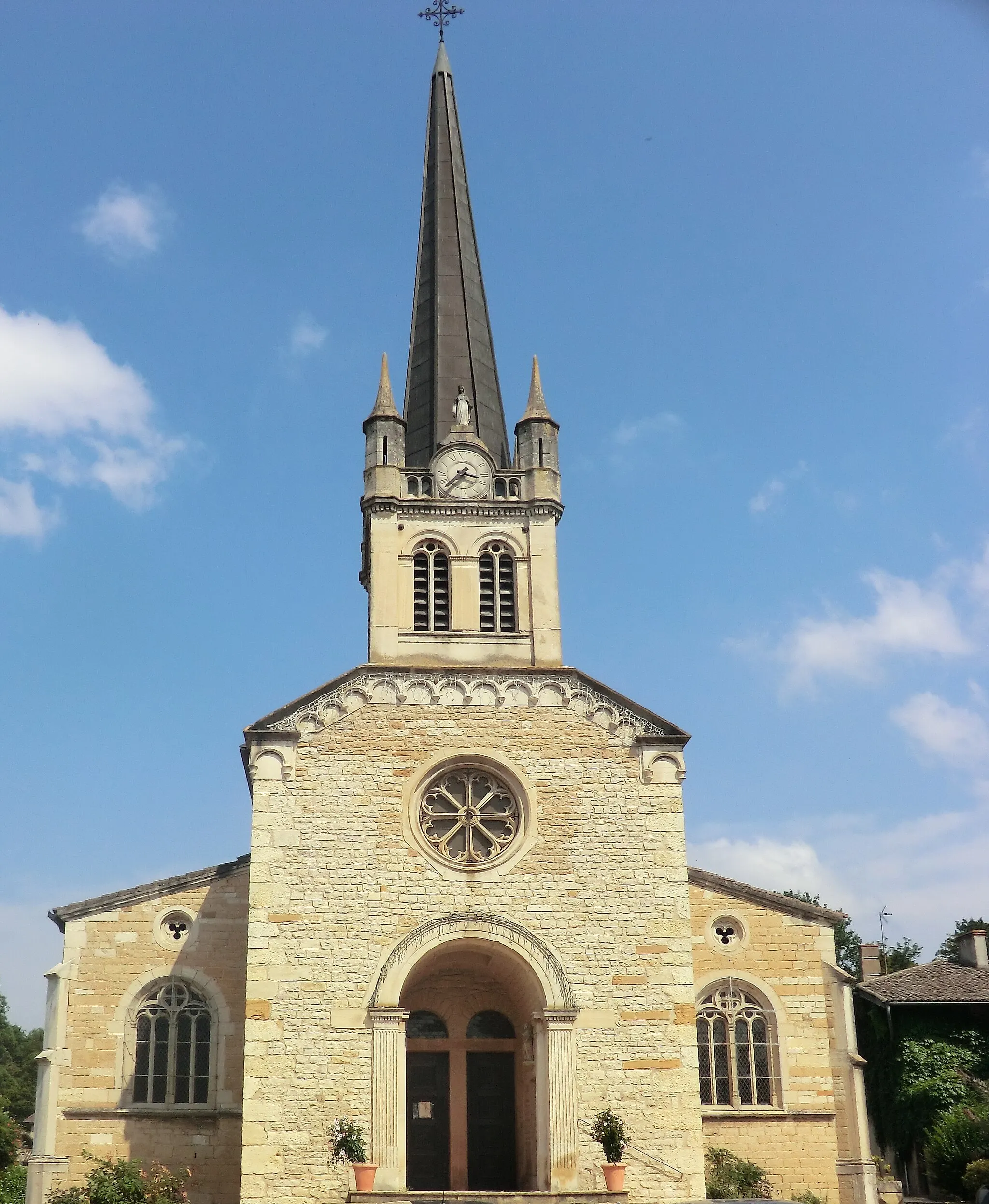
Saint-Romain-de-PopeyVillageSaint-Romain-de-Popey, located 32 kilometers into the route, is a picturesque village known for its traditional architecture and peaceful atmosphere.
41 km
41 km
Crêt Pélerat852 mPeakCrêt Pélerat, at 41 kilometers, is a challenging climb that rewards cyclists with breathtaking views of the surrounding countryside.
45 km
45 km
MontrottierVillageMontrottier, located 45 kilometers into the route, is a medieval village with a stunning castle that showcases the region's rich history.
58 km
58 km
Essertines-en-DonzyVillageEssertines-en-Donzy, a small village nestled in the Donzy Valley, offers a tranquil setting for cyclists to rest and admire the natural beauty.
69 km
69 km
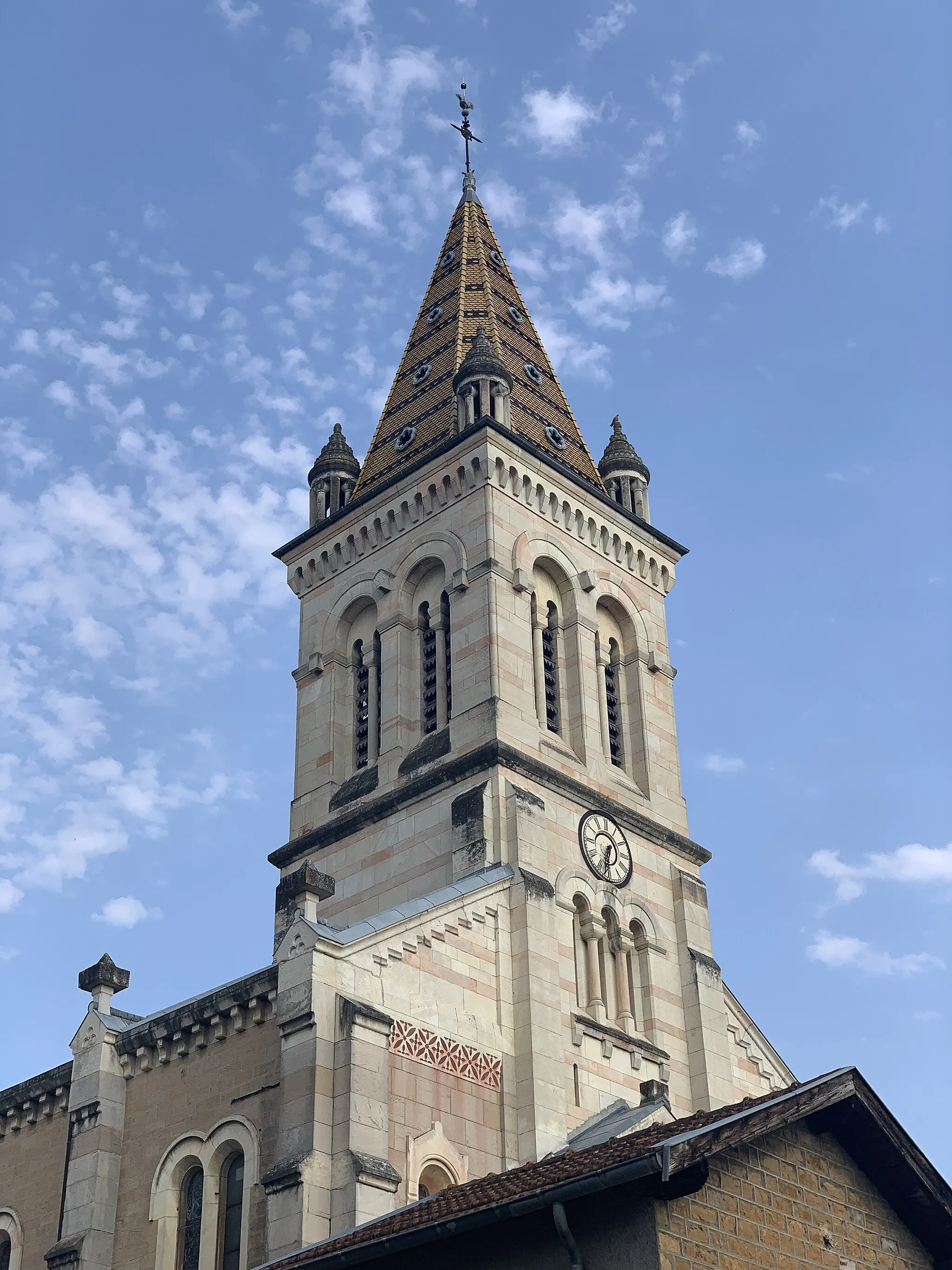
FeursVillageFeurs, a vibrant town at 69 kilometers, is known for its traditional market and cultural events.
83 km
83 km
BalbignyVillageBalbigny, located 83 kilometers into the route, is a picturesque town situated along the Loire River.
98 km
98 km
Croizet-sur-GandVillageCroizet-sur-Gand offers a brief respite for cyclists, with its peaceful atmosphere and charming countryside views.
112 km
112 km
AmplepuisVillageAmplepuis, at 112 kilometers, is a lively town known for its historic buildings and outdoor activities.
124 km
124 km
Col de la Cambuse708 mMountain PassCol de la Cambuse, at 124 kilometers, is a legendary climb that is part of many professional cycling races.
129 km
129 km
GrandrisVillageGrandris, located 129 kilometers into the route, is a medieval village with narrow streets and traditional architecture.
138 km
138 km
Col de la Croix Montmain737 mMountain PassCol de la Croix Montmain, at 138 kilometers, offers cyclists stunning views of the surrounding mountains and forests.
145 km
145 km
Vaux-en-BeaujolaisVillageVaux-en-Beaujolais, a quaint village at 145 kilometers, is known for its picturesque setting amidst vineyards.
156 km
156 km
ArnasVillageArnas, the endpoint of the route, boasts a rich history, charming atmosphere, and proximity to a multitude of vineyards in the region.
156 km
156 km
Finish: Arnas Village centerArnas: Hidden gem for road and gravel cyclists
Cycling routes nearby: