Orliénas Round-Trip
A road cycling route starting from Chaponost
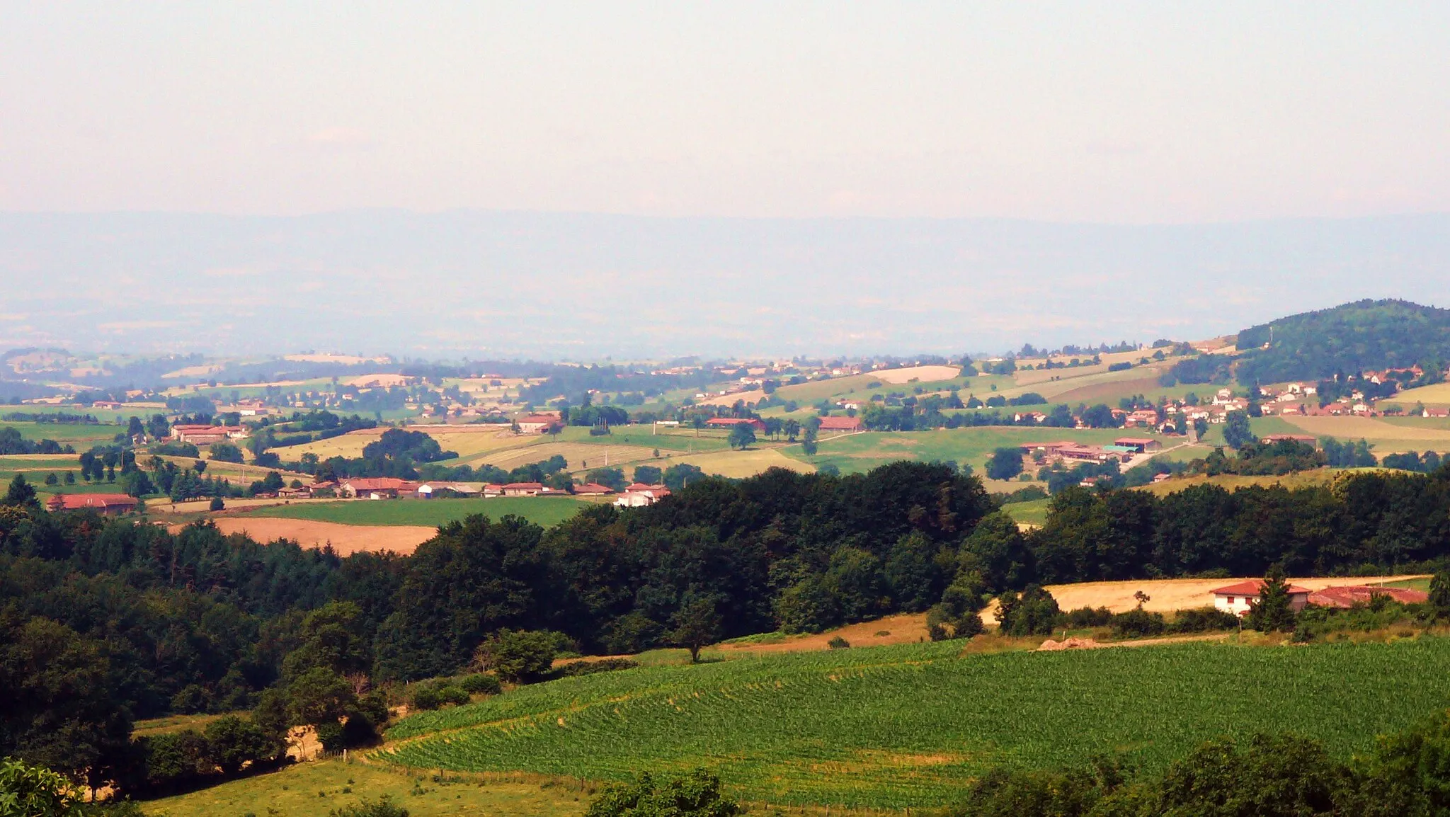
Experience the challenging Orliénas Round-Trip and explore the rural beauty of Marcenod and La Chapelle-sur-Coise.
Map
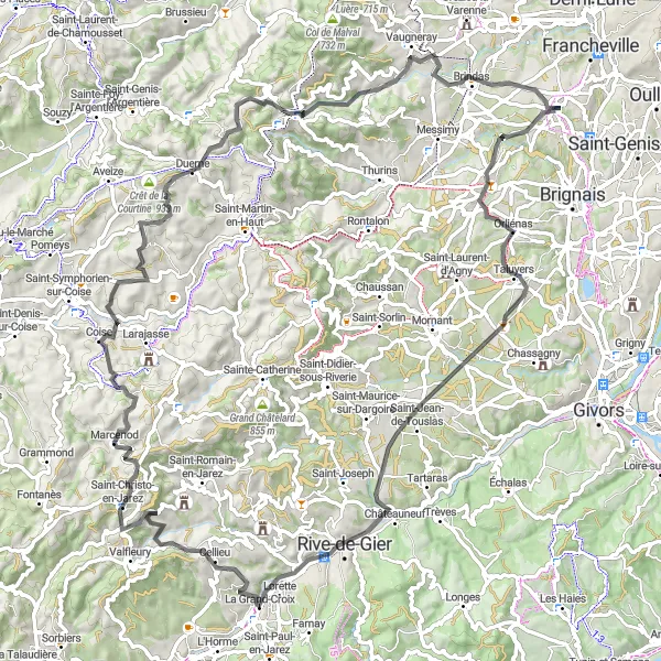
The Orliénas Round-Trip is a challenging road cycling route starting near Chaponost. This 96-kilometer route features a total ascent of 1580 meters, making it suitable for well-trained amateurs seeking a thrilling ride. Throughout the journey, cyclists will pass through picturesque towns and villages such as Orliénas, Lorette, and Brindas.
road
96 km
1580 m
Tough
Route profile
Highlights on the route
0 km
0 km
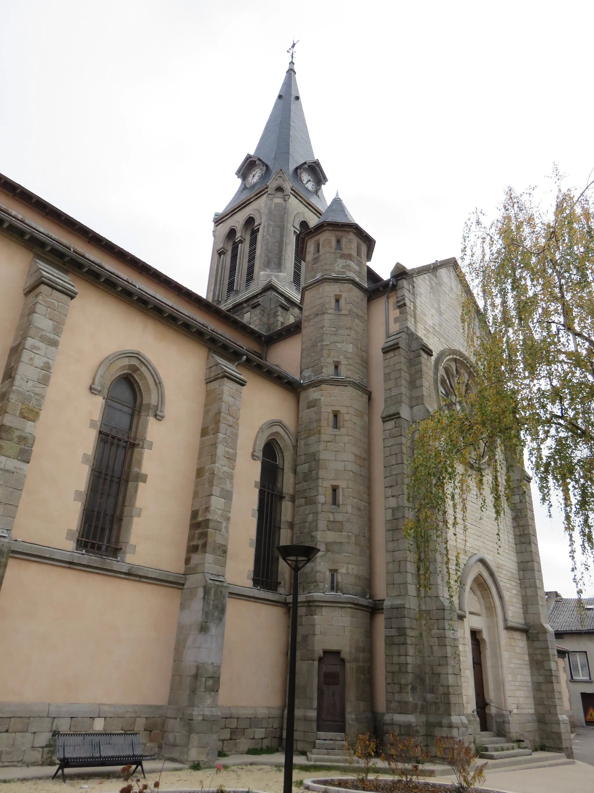
Start: Chaponost Village centerChaponost: A peaceful village with scenic cycling routes to explore.
Chaponost is a charming village situated in the Rhône-Alpes region of France. As a road and gravel cyclist, you'll appreciate the peaceful atmosphere of the locality and the well-maintained roads that are ideal for cycling. The area surrounding Chaponost offers plenty of rolling hills and scenic views, making it a pleasant location for bike rides. While it may not have any well-known climbs or famous cycling spots right on its doorstep, Chaponost provides a tranquil setting for riders who enjoy exploring lesser-known routes and discovering hidden gems.9 km
9 km
OrliénasVillageOrliénas offers stunning views of the surrounding countryside and is a hidden gem for outdoor enthusiasts.
32 km
32 km
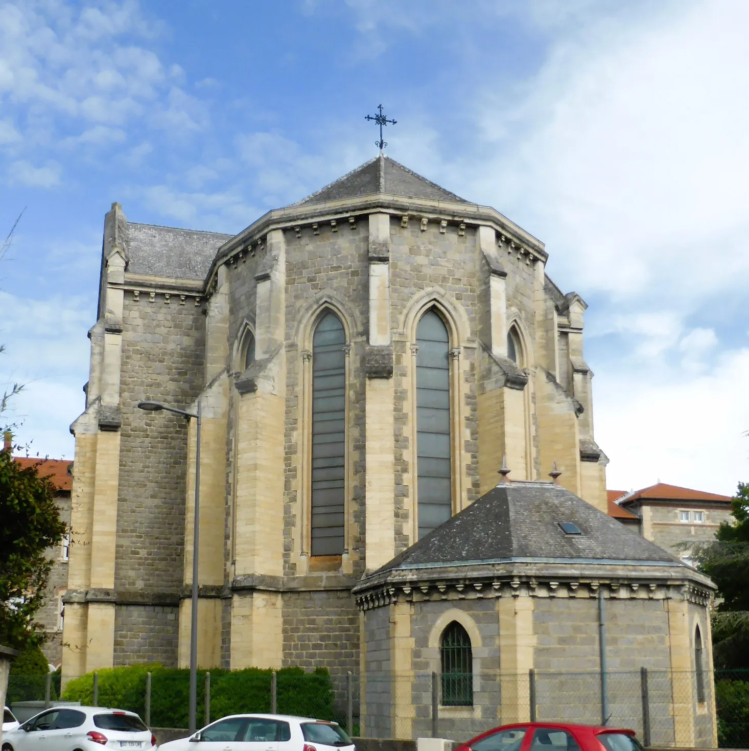
LoretteVillageLorette is known for its historic monastery and provides a peaceful resting point along the route.
52 km
52 km
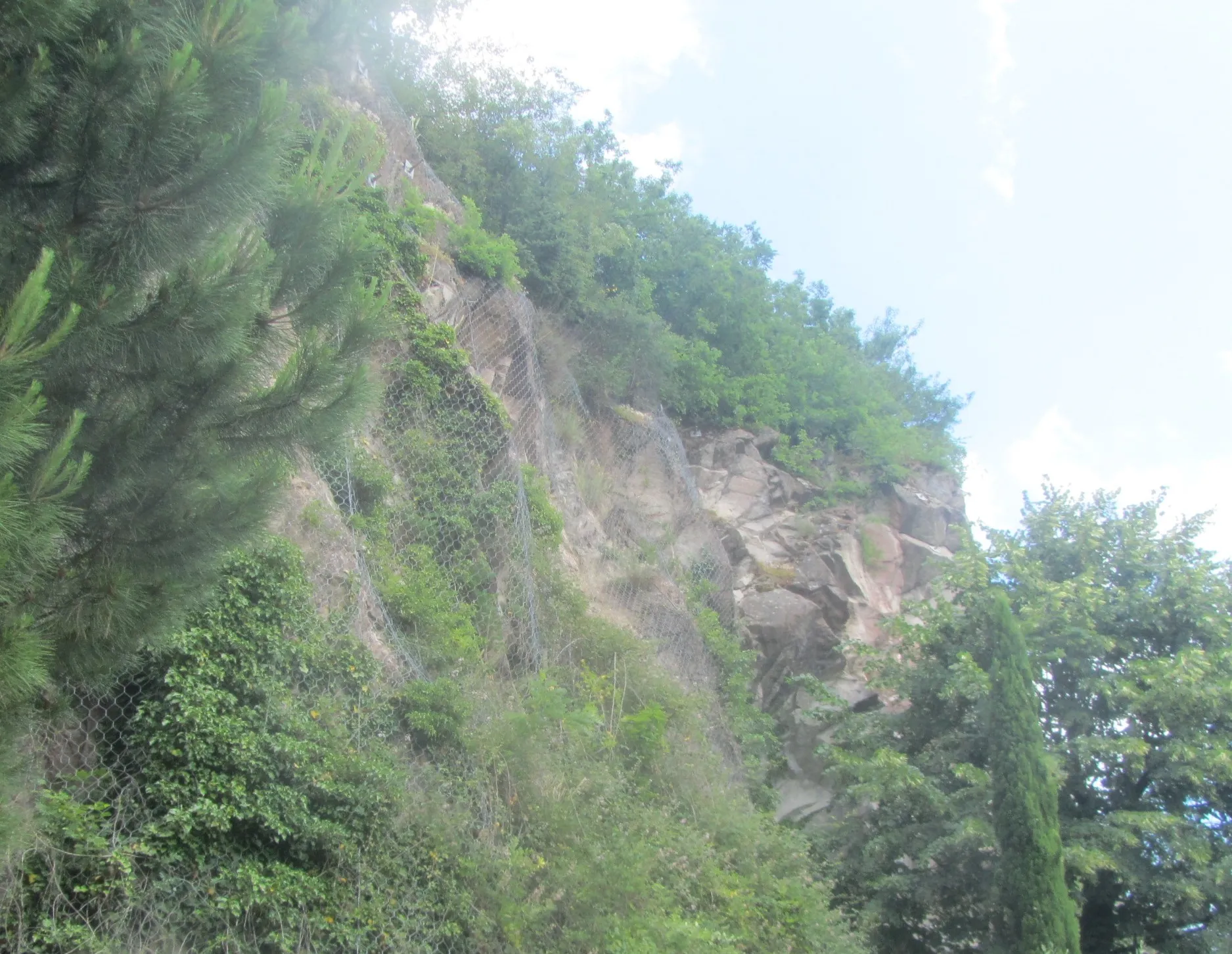
MarcenodVillageMake your way to Marcenod and conquer the legendary Col des Brosses, a challenging climb renowned among cycling enthusiasts.
66 km
66 km
La Chapelle-sur-CoiseVillageLa Chapelle-sur-Coise is a quaint village with traditional French architecture and provides a picturesque setting for cyclists to enjoy.
76 km
76 km
Col des Brosses867 mMountain PassPass through beautiful forests and challenging terrain on the approach to the Col des Brosses.
91 km
91 km
BrindasVillageBrindas is a charming village that offers stunning views of the surrounding landscape.
96 km
96 km
Finish: Chaponost Village centerChaponost: A peaceful village with scenic cycling routes to explore.
Cycling routes from Chaponost:
Cycling routes nearby: