Ultimate Challenge: Chaponost Grand Loop
A road cycling route starting from Chaponost
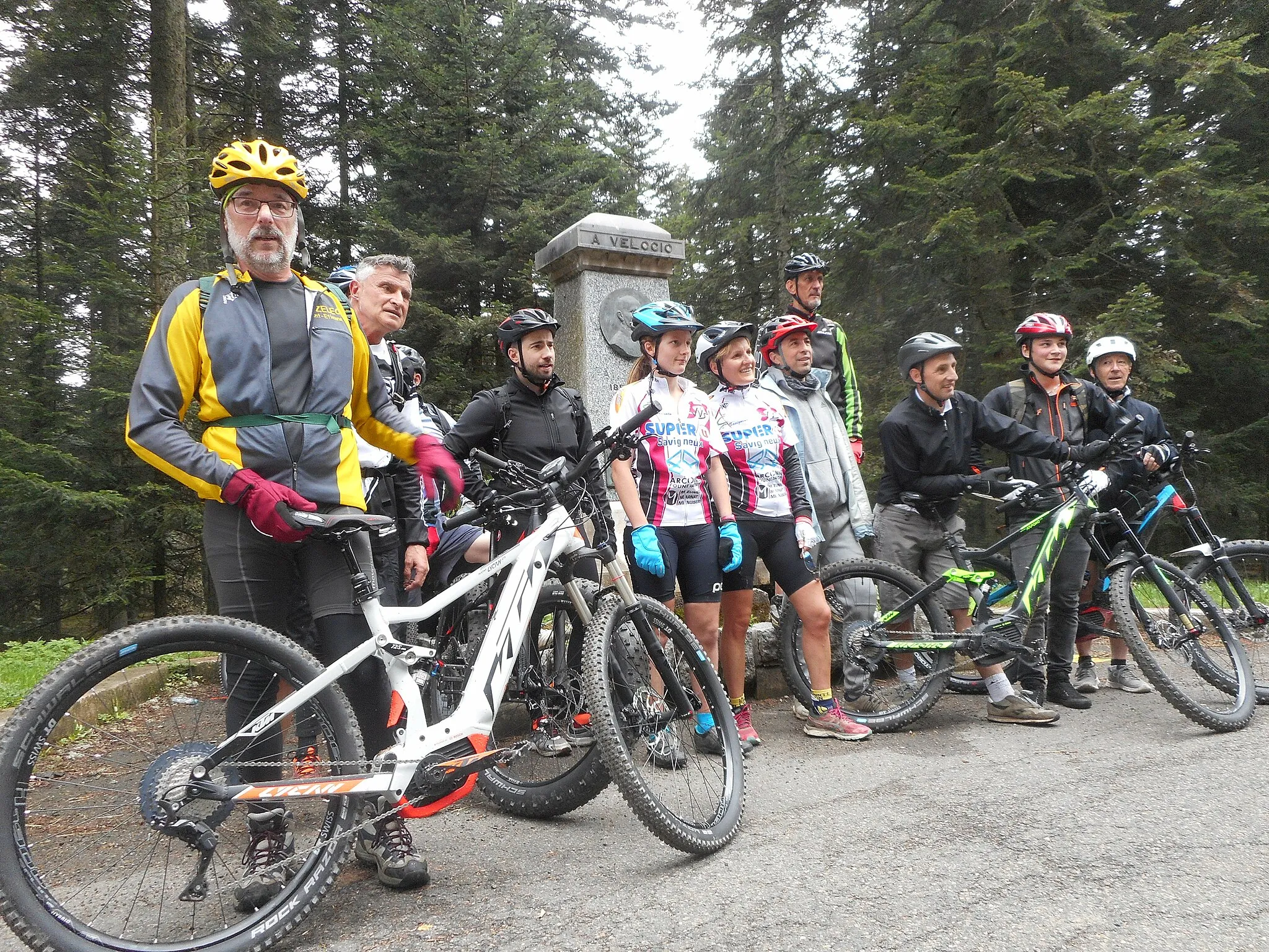
Conquer the ultimate challenge as you cycle through the toughest climbs of the Chaponost region.
Map

Prepare yourself for a formidable cycling experience with a 166-kilometer route encompassing an ascent of 2763 meters. This demanding route will take you through Givors, Col de Chassenoud, La Chapelle-Villars, Pélussin, Saint-Julien-Molin-Molette, Col du Banchet, and reaches its climax at Col de la République. From there, you'll continue through Saint-Sauveur-en-Rue, Tarentaise, Saint-Chamond, Saint-Christo-en-Jarez, Crêt Malherbe, Saint-Martin-en-Haut, Point de vue Rochefort, and eventually returning to Messimy. Prepare to push your limits on this incredible cycling feat.
road
166 km
2763 m
Savage
Route profile
Highlights on the route
0 km
0 km
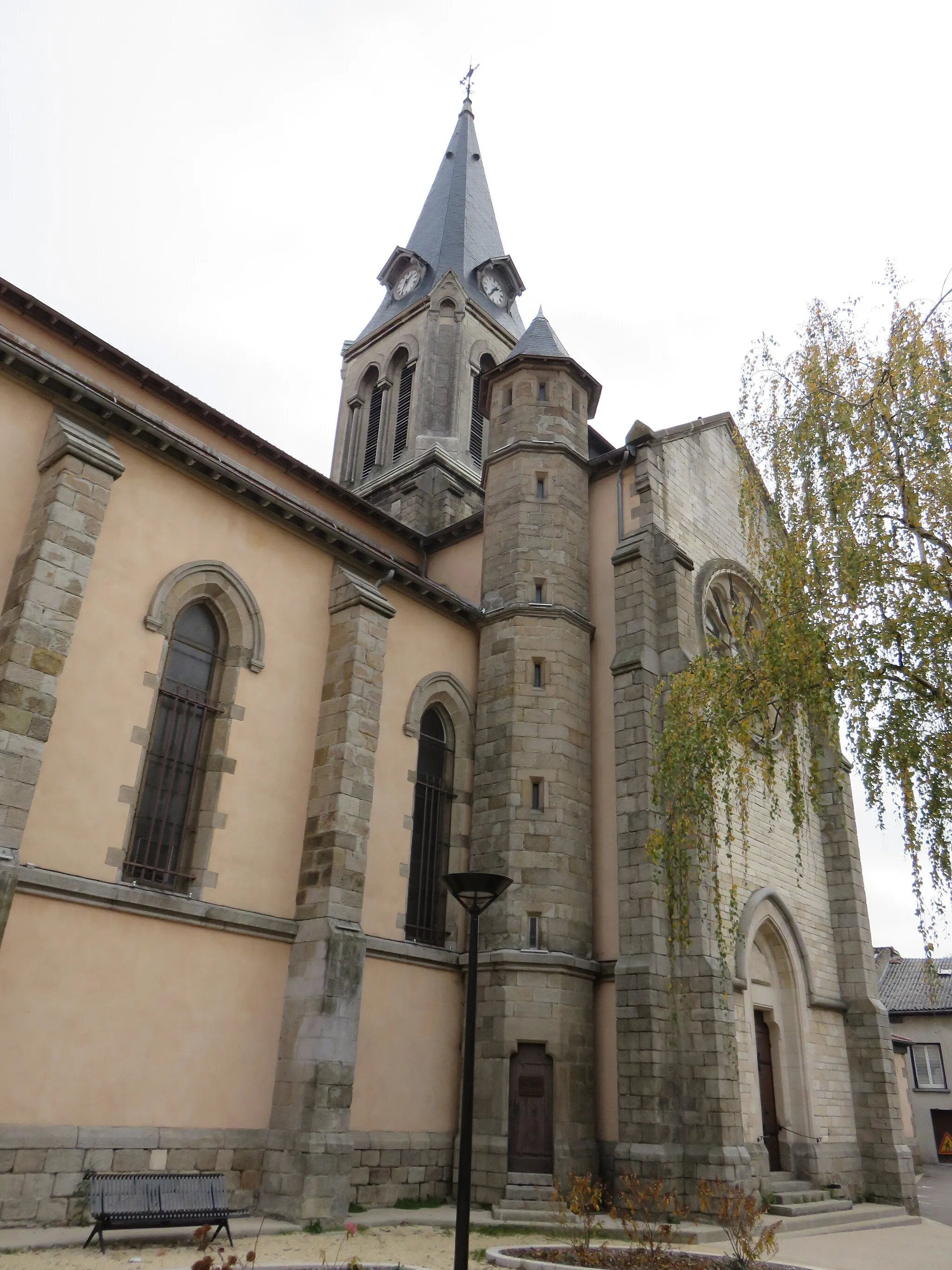
Start: Chaponost Village centerChaponost: A peaceful village with scenic cycling routes to explore.
Chaponost is a charming village situated in the Rhône-Alpes region of France. As a road and gravel cyclist, you'll appreciate the peaceful atmosphere of the locality and the well-maintained roads that are ideal for cycling. The area surrounding Chaponost offers plenty of rolling hills and scenic views, making it a pleasant location for bike rides. While it may not have any well-known climbs or famous cycling spots right on its doorstep, Chaponost provides a tranquil setting for riders who enjoy exploring lesser-known routes and discovering hidden gems.15 km
15 km
GivorsTownMake a stop in Givors and head to the quayside promenade, where you can enjoy stunning views of the Rhône River.
31 km
31 km
Col de Chassenoud555 mMountain PassReach the challenging summit of Col de Chassenoud, surrounded by untouched nature and breathtaking panoramic views.
34 km
34 km
La Chapelle-VillarsVillageTake a moment to appreciate the beauty of La Chapelle-Villars, a typical French village offering picturesque views of the surrounding countryside.
43 km
43 km
PélussinVillageVisit Pélussin, a gateway to the Pilat Regional Natural Park, known for its rugged landscapes and extensive hiking trails.
58 km
58 km
Saint-Julien-Molin-MoletteVillageStop at Saint-Julien-Molin-Molette, a charming village nestled in the foothills of the Pilat Mountains, offering a serene atmosphere.
61 km
61 km
Col du Banchet678 mMountain PassConquer the challenging Col du Banchet, famous for its steep gradients and rewarding views at its summit.
72 km
72 km
Saint-Sauveur-en-RueVillageDiscover the small village of Saint-Sauveur-en-Rue, known for its architectural heritage and charming winding streets.
86 km
86 km
Col de la République1161 mMountain PassFeel accomplished as you reach the summit of Col de la République, one of the most challenging climbs in the region.
94 km
94 km
TarentaiseVillageAppreciate the natural beauty of Tarentaise, with its stunning landscapes and tranquil ambiance.
115 km
115 km
Saint-ChamondTownPass through Saint-Chamond, a bustling city renowned for its industrial history and vibrant cultural scene.
129 km
129 km
Saint-Christo-en-JarezVillageVisit Saint-Christo-en-Jarez, a small commune located at the foot of Mont Pilat, famous for its panoramic viewpoints.
133 km
133 km
Crêt Malherbe943 mPeakAdmire the majestic mountain peak at Crêt Malherbe, offering awe-inspiring views of the surrounding countryside.
147 km
147 km
Saint-Martin-en-HautVillageExplore Saint-Martin-en-Haut and immerse yourself in its rich local history, charming streets, and historical landmarks.
149 km
149 km
Point de vue RochefortViewpointTake a moment to soak in the breathtaking views from Point de vue Rochefort, offering spectacular panoramic vistas.
160 km
160 km
MessimyVillageConclude your epic journey in Messimy, a small village where you can relax and reflect on your remarkable cycling feat.
166 km
166 km
Finish: Chaponost Village centerChaponost: A peaceful village with scenic cycling routes to explore.
Cycling routes from Chaponost:
Cycling routes nearby: