Gravel Adventure in Chartreuse
A gravel cycling route starting from Coublevie
Embark on an epic gravel journey through the breathtaking Chartreuse mountains
Map
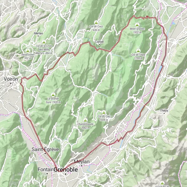
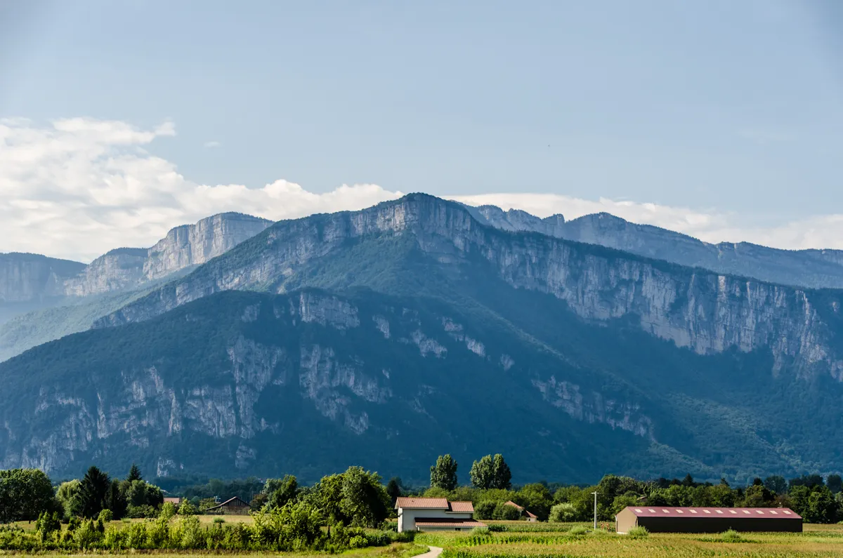
Experience the thrill of gravel cycling with this 116-kilometer route starting near Coublevie in Rhône-Alpes, France. The Col de la Croix Bayard is a challenging climb that rewards you with stunning views over the surrounding mountains. With a total ascent of 1970 meters, this route is suitable for experienced cyclists looking for a challenge. The epicness level of this route is high, as it takes you through some of the most scenic areas in Chartreuse.
gravel
116 km
1970 m
Tough
Route profile
Highlights on the route
0 km
0 km
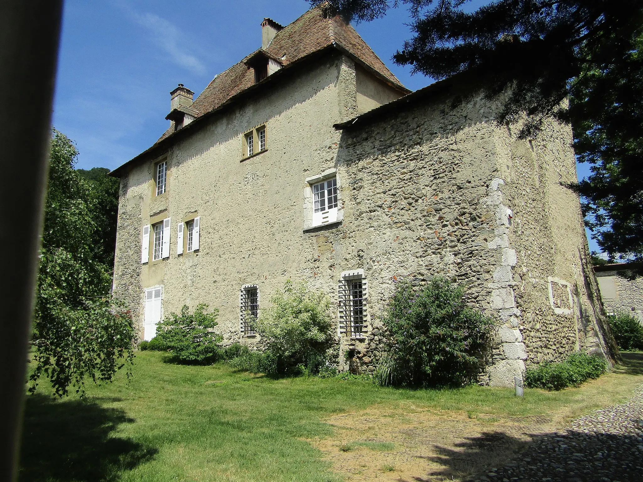
Start: Coublevie Village centerCoublevie: Exploring diverse cycling routes and conquering the Col du Granier in the Rhône-Alpes region.
Coublevie is a locality in the Rhône-Alpes region of France. As a cyclist, you'll find a variety of cycling routes in the area, suitable for all skill levels. The region offers a mix of hilly terrain and flat routes, allowing cyclists to explore picturesque landscapes. One well-known cycling spot near Coublevie is the Col du Granier, a popular climb for road cyclists. With its diverse cycling routes and beautiful scenery, Coublevie is a great destination for cyclists looking to experience the beauty of the Rhône-Alpes.1 km
1 km
Col de la Croix Bayard390 mMountain PassConquer the Col de la Croix Bayard, a difficult climb with rewarding views at the top.
10 km
10 km
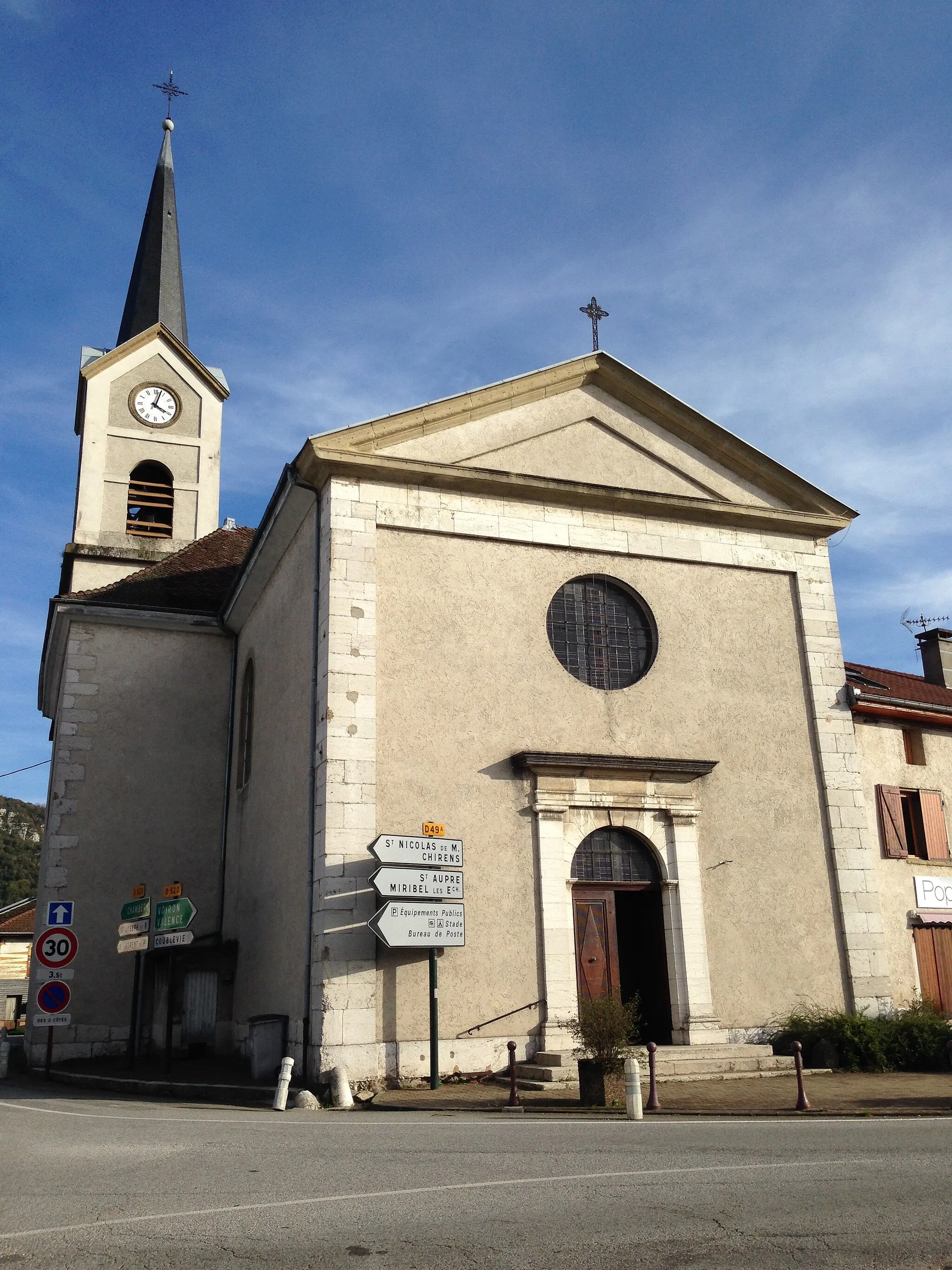
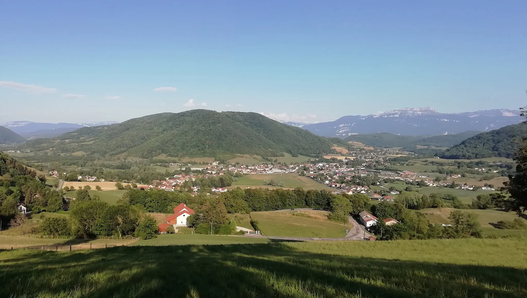
Saint-Joseph-de-RivièreVillageExperience the tranquil beauty of Saint-Joseph-de-Rivière, a small village nestled in the mountains.
24 km
24 km
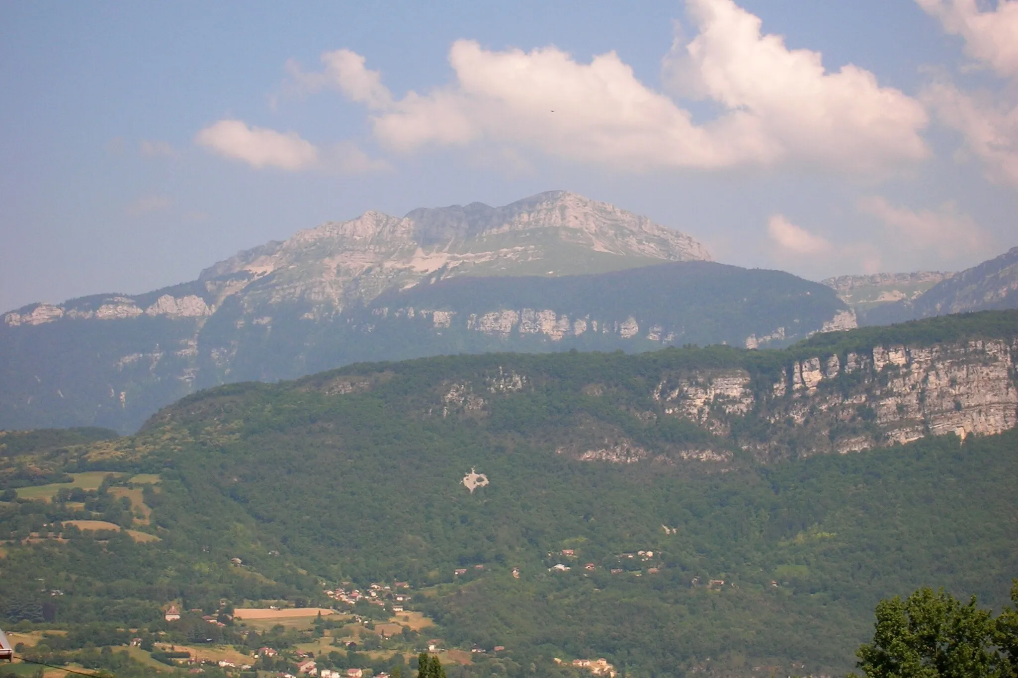
Pointe du Frou1160 mPeak ViewpointThe Pointe du Frou offers breathtaking panoramic views of the surrounding valleys and mountains.
29 km
29 km
Saint-Pierre-d'Entremont (Isère)VillageDiscover the charming village of Saint-Pierre-d'Entremont (Isère), known for its cobbled streets and historic buildings.
39 km
39 km
Col du Granier1134 mMountain PassClimb the famous Col du Granier, a legendary cycling spot with challenging gradients.
49 km
49 km
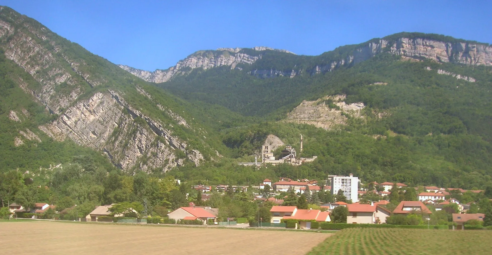
ChapareillanVillageChapareillan is a picturesque village with traditional architecture and beautiful countryside.
61 km
61 km
Le CheylasVillageLe Cheylas offers stunning views over the surrounding mountains and valleys.
87 km
87 km
Montbonnot-Saint-MartinVillageMontbonnot-Saint-Martin is home to a well-preserved medieval castle and beautiful gardens.
94 km
94 km
GrenobleCityGrenoble is a famous cycling spot and the gateway to the Alps, offering stunning views and challenging cycling routes.
102 km
102 km
Rocher du Cornillon315 mPeakRocher du Cornillon is a natural rock formation that offers panoramic views of the surrounding landscape.
111 km
111 km
Belvédère des maquisardsViewpointBelvédère des maquisards is a popular viewpoint overlooking the breathtaking Chartreuse mountains.
113 km
113 km
La BuisseVillageLa Buisse is a charming village with traditional architecture and a peaceful atmosphere.
116 km
116 km
Finish: Coublevie Village centerCoublevie: Exploring diverse cycling routes and conquering the Col du Granier in the Rhône-Alpes region.
Cycling routes from Coublevie:
The Moirans Loop Parménie Challenge Challenging Road Ride with Stunning Views Gravel Escape to the Countryside Gravel Adventure in Chartreuse Ultimate Climbing Challenge near Coublevie Gravel Loop around Coublevie and Beyond Scenic Road Tour Gravel Adventure to Voiron Scenic Road Loop around Coublevie
Cycling routes nearby: