Scenic Road Tour
A road cycling route starting from Coublevie
Discover the beauty of Voiron and its surroundings on this picturesque road tour
Map
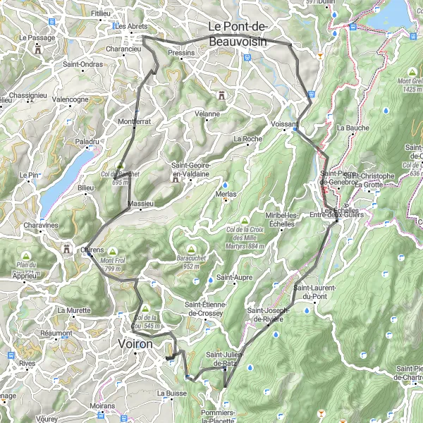
Explore the stunning landscapes around Voiron with this 76-kilometer road cycling tour starting near Coublevie in Rhône-Alpes, France. The route includes scenic sections with a total ascent of 1325 meters, offering both challenging climbs and rewarding downhill sections. The difficulty level of this route is moderate, making it suitable for experienced amateur cyclists. During the tour, you'll pass through charming towns and villages such as La Bâtie-Divisin and Le Pont-de-Beauvoisin.
road
76 km
1325 m
Tough
Route profile
Highlights on the route
0 km
0 km
Start: Coublevie Village centerCoublevie: Exploring diverse cycling routes and conquering the Col du Granier in the Rhône-Alpes region.
Coublevie is a locality in the Rhône-Alpes region of France. As a cyclist, you'll find a variety of cycling routes in the area, suitable for all skill levels. The region offers a mix of hilly terrain and flat routes, allowing cyclists to explore picturesque landscapes. One well-known cycling spot near Coublevie is the Col du Granier, a popular climb for road cyclists. With its diverse cycling routes and beautiful scenery, Coublevie is a great destination for cyclists looking to experience the beauty of the Rhône-Alpes.1 km
1 km
Col de la Croix Bayard390 mMountain PassConquer the Col de la Croix Bayard, a challenging climb with stunning views at the top.
4 km
4 km
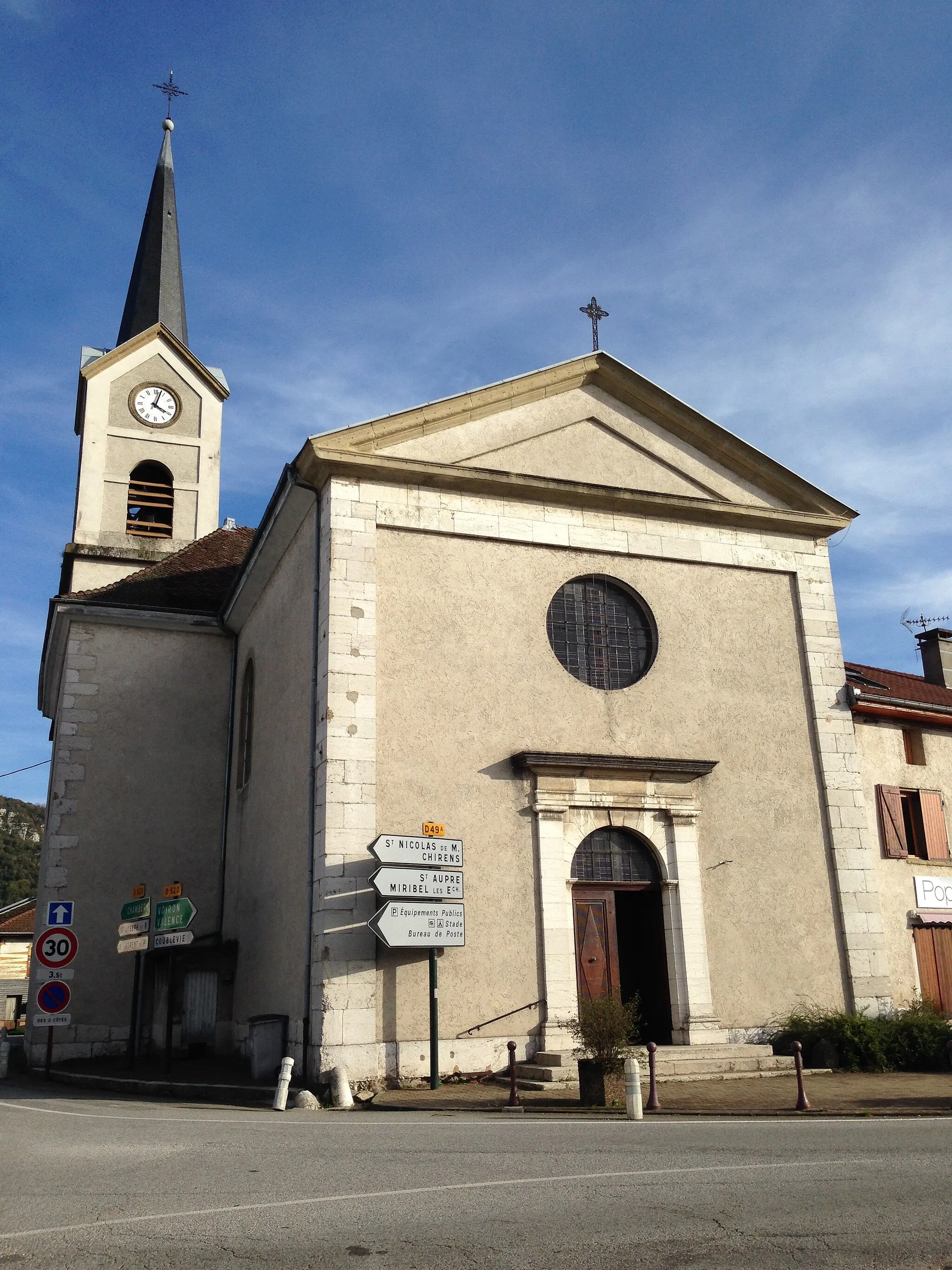
VoironTownExplore Voiron, a town famous for its liqueur production and charming medieval architecture.
21 km
21 km
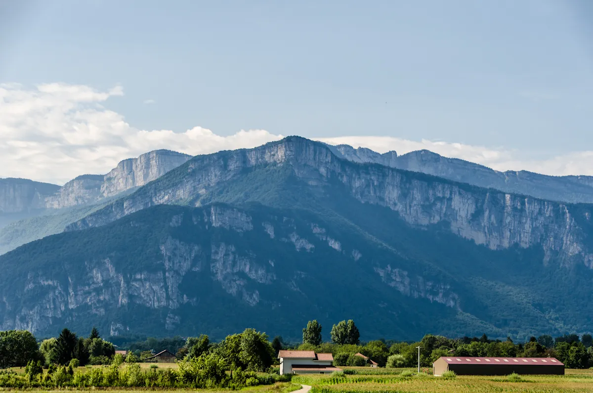
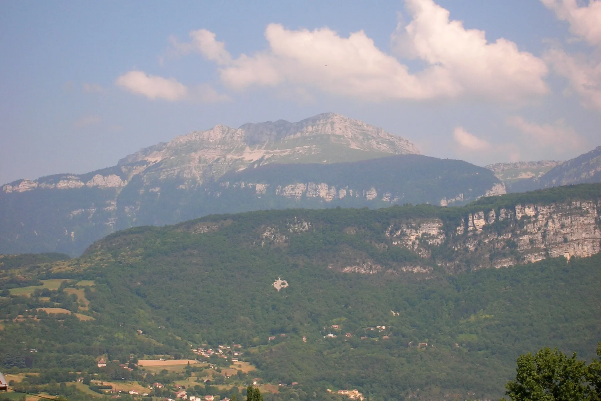
Col du Banchet695 mMountain PassEnjoy the beautiful scenery as you climb Col du Banchet, with picturesque views of the surrounding mountains.
26 km
26 km
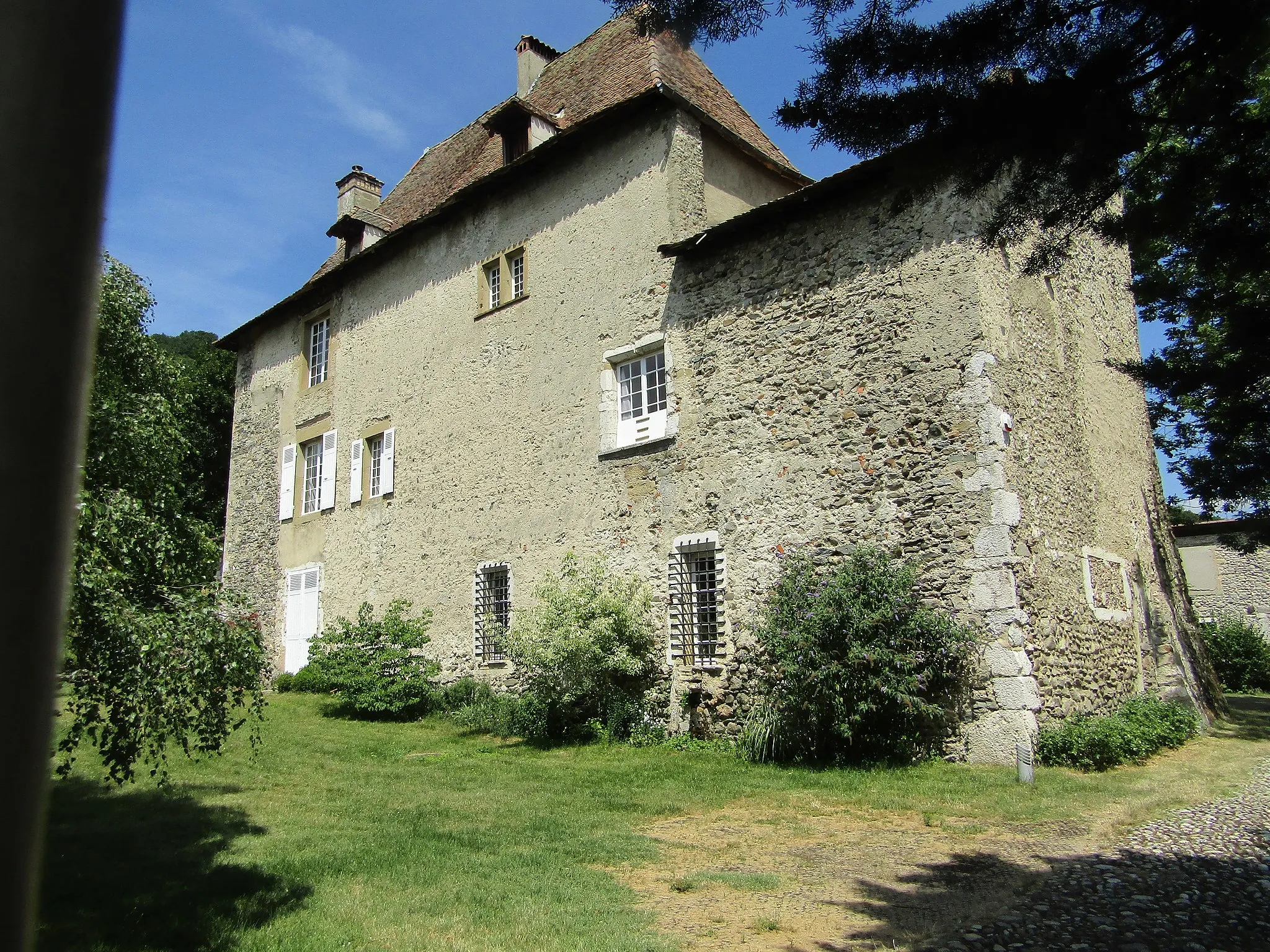
La Bâtie-DivisinVillageLa Bâtie-Divisin is a small village known for its traditional architecture and peaceful atmosphere.
37 km
37 km
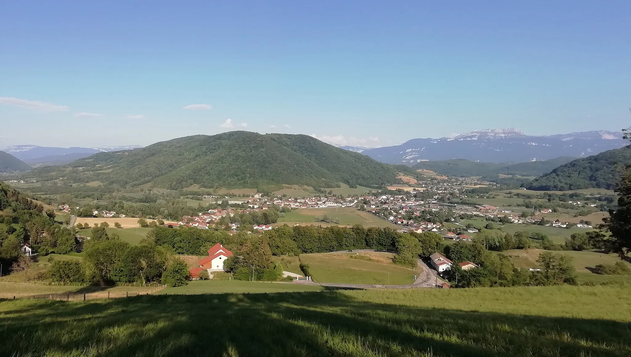
Le Pont-de-BeauvoisinTownLe Pont-de-Beauvoisin is a historic town located on the banks of the Guiers river, with charming cafés and shops.
55 km
55 km
Entre-deux-GuiersVillageEntre-deux-Guiers is a picturesque village surrounded by nature, offering a quiet and relaxing atmosphere.
63 km
63 km
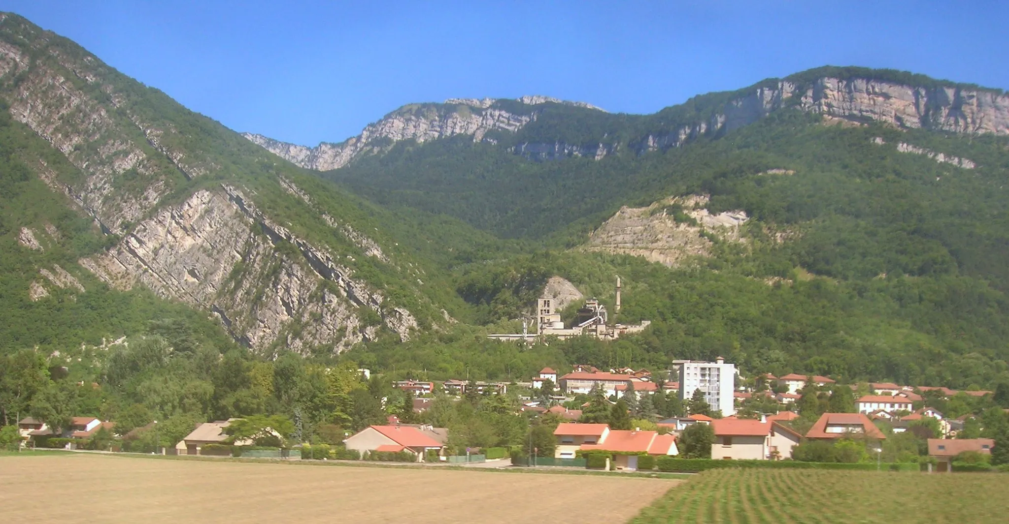
Saint-Joseph-de-RivièreVillageSaint-Joseph-de-Rivière is a charming mountain village with beautiful landscapes and traditional architecture.
76 km
76 km
Finish: Coublevie Village centerCoublevie: Exploring diverse cycling routes and conquering the Col du Granier in the Rhône-Alpes region.
Cycling routes from Coublevie:
The Moirans Loop Parménie Challenge Challenging Road Ride with Stunning Views Gravel Escape to the Countryside Gravel Adventure in Chartreuse Ultimate Climbing Challenge near Coublevie Gravel Loop around Coublevie and Beyond Scenic Road Tour Gravel Adventure to Voiron Scenic Road Loop around Coublevie
Cycling routes nearby: