The Rhône Discovery
A road cycling route starting from Givors
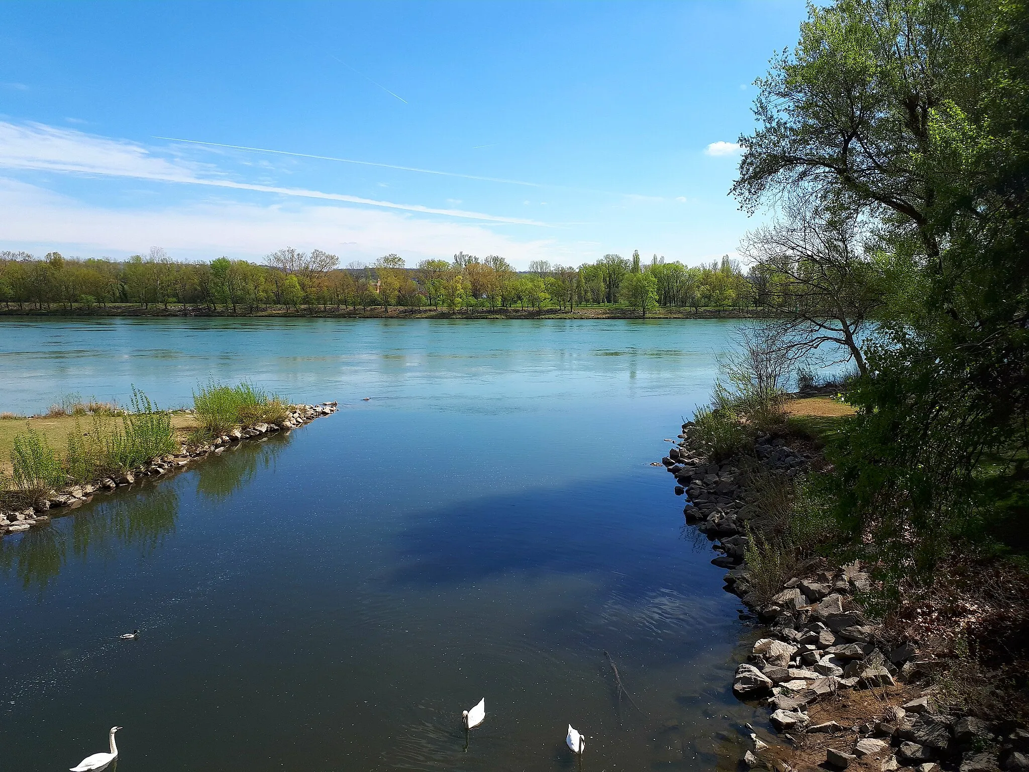
Discover the captivating beauty of the Rhône River on this scenic road cycling route
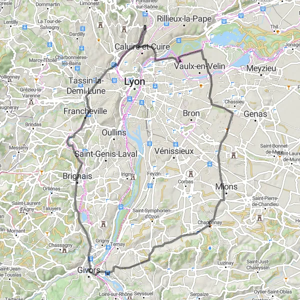
Map
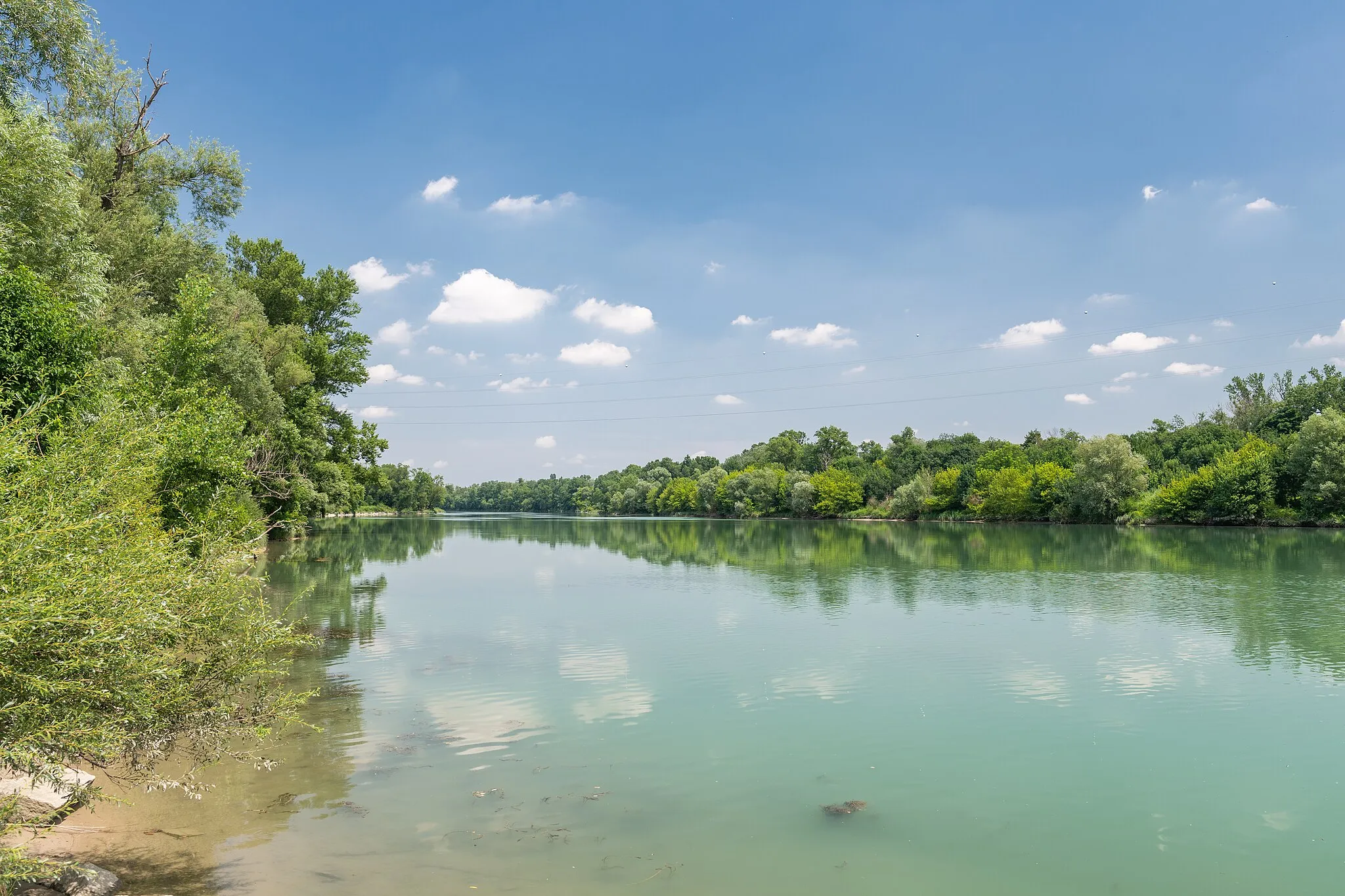
Follow the meandering path of the Rhône River on this scenic road cycling route. Immerse yourself in the natural beauty of the region as you pedal along idyllic riverside paths and through charming towns like Chaponost and Collonges-au-Mont-d'Or. The relatively flat terrain and well-maintained roads make it a leisurely ride suitable for all skill levels. Along the way, be sure to stop at the Belvédère de Bourg for its breathtaking views over the Rhône Valley and don't miss the Haut de Cornavan, where you can admire stunning panoramas of the surrounding landscapes. Gain a deeper appreciation for the Rhône River and its significance in this captivating cycling adventure.
road
83 km
496 m
Chill
Route profile
Highlights on the route
0 km
0 km
Start: Givors City centerGivors: Cycling paradise in the heart of Rhône-Alpes.
Givors is a vibrant town located in the Rhône-Alpes region of France. As a road and gravel cyclist, you will appreciate the town's cycling infrastructure and access to various routes. Givors offers a mix of urban and rural cycling experiences, with well-connected bike lanes and paths that lead to scenic countryside and historic landmarks. Nearby, you will find the iconic climb of Mont-du-Chat, known for its challenging gradients and thrilling descents. With its cycling-friendly environment and proximity to notable climbs, Givors is a fantastic destination for cyclists seeking memorable rides.16 km
16 km
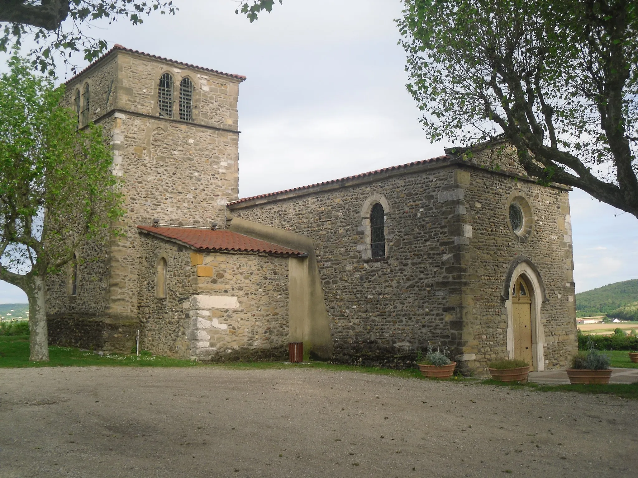
ChaponostVillageChaponost is known for its beautiful natural caves. Take a break from cycling and explore the underground wonders of this hidden gem.
32 km
32 km
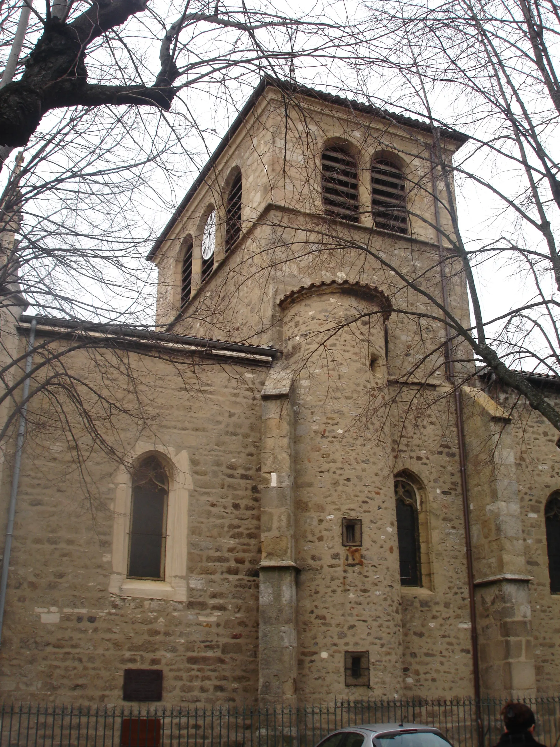
Collonges-au-Mont-d'OrVillageCollonges-au-Mont-d'Or is a picturesque town nestled on the banks of the Rhône River. Wander through its charming streets and discover its rich history and architecture.
35 km
35 km
Belvédère de BourgViewpointBelvédère de Bourg offers panoramic views of the Rhône Valley. Take a moment to soak in the breathtaking vistas from this stunning viewpoint.
58 km
58 km
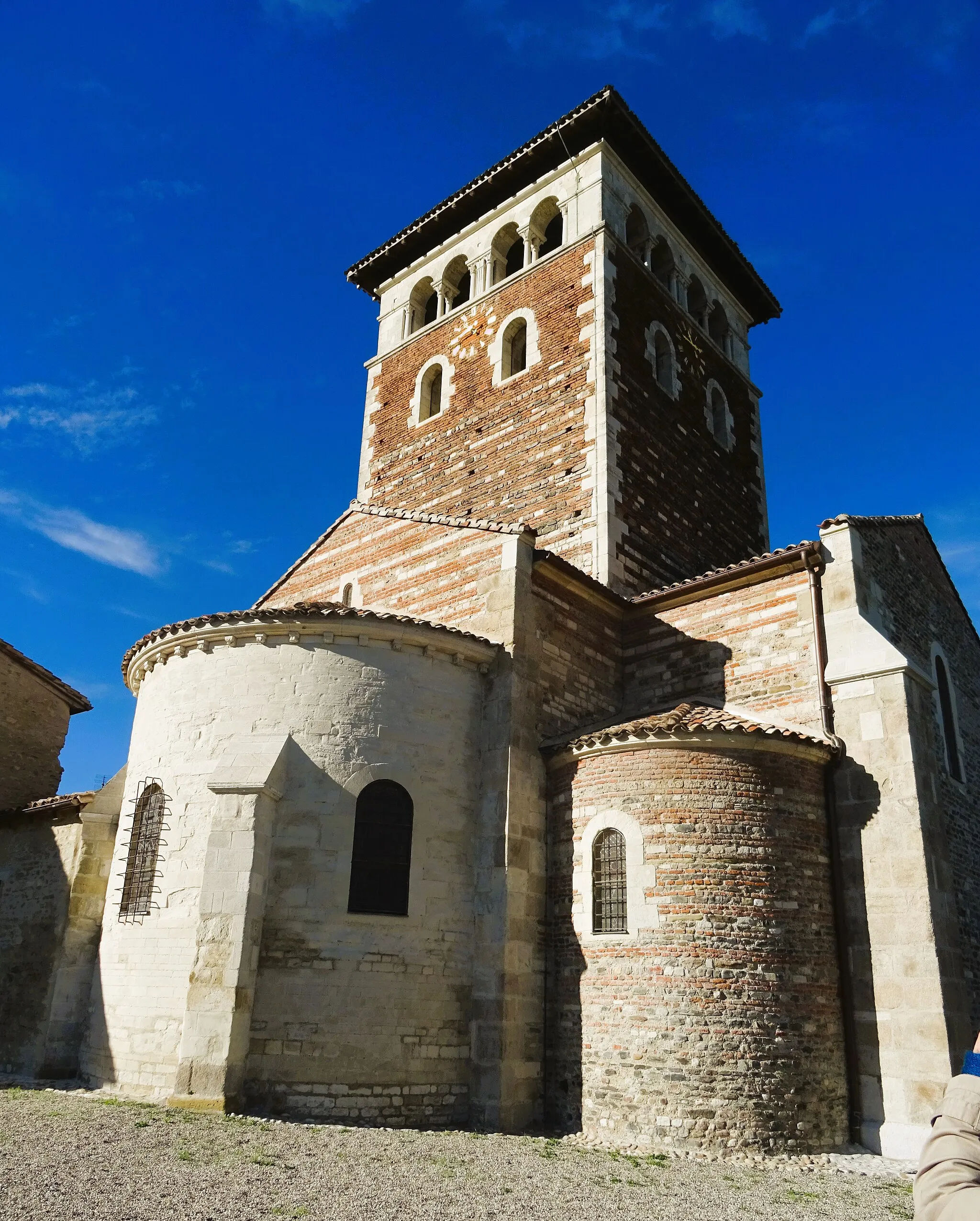
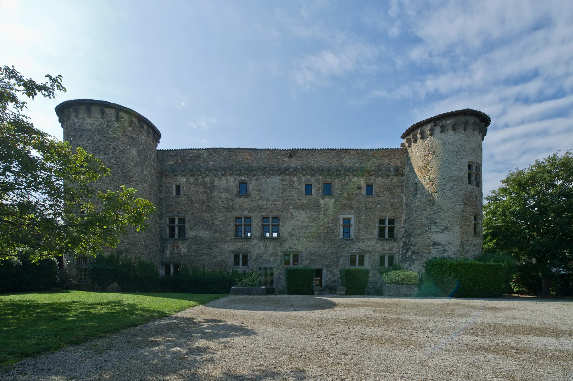
Saint-PriestTownSaint-Priest is home to Château de Saint-Priest, an impressive historic building surrounded by beautiful gardens. Take a detour to explore this architectural marvel.
67 km
67 km
ChaponnayVillageChaponnay is a peaceful town known for its charming streets and traditional buildings. Take a leisurely stroll and soak in the laid-back atmosphere.
75 km
75 km
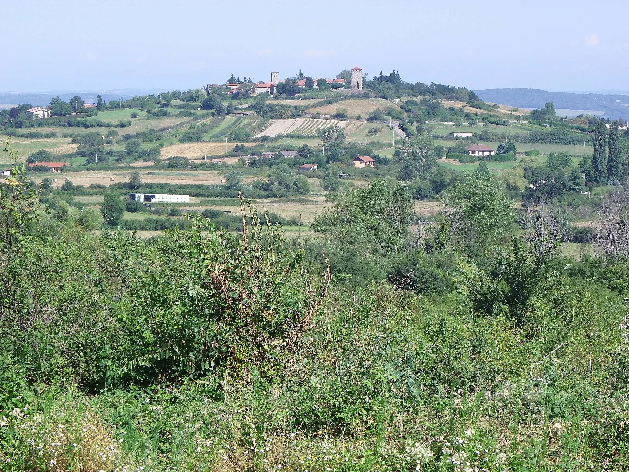
Haut de Cornavan350 mPeakHaut de Cornavan is perched on a hilltop and offers breathtaking views of the surrounding landscapes. Stop here to capture some stunning photographs.
83 km
83 km
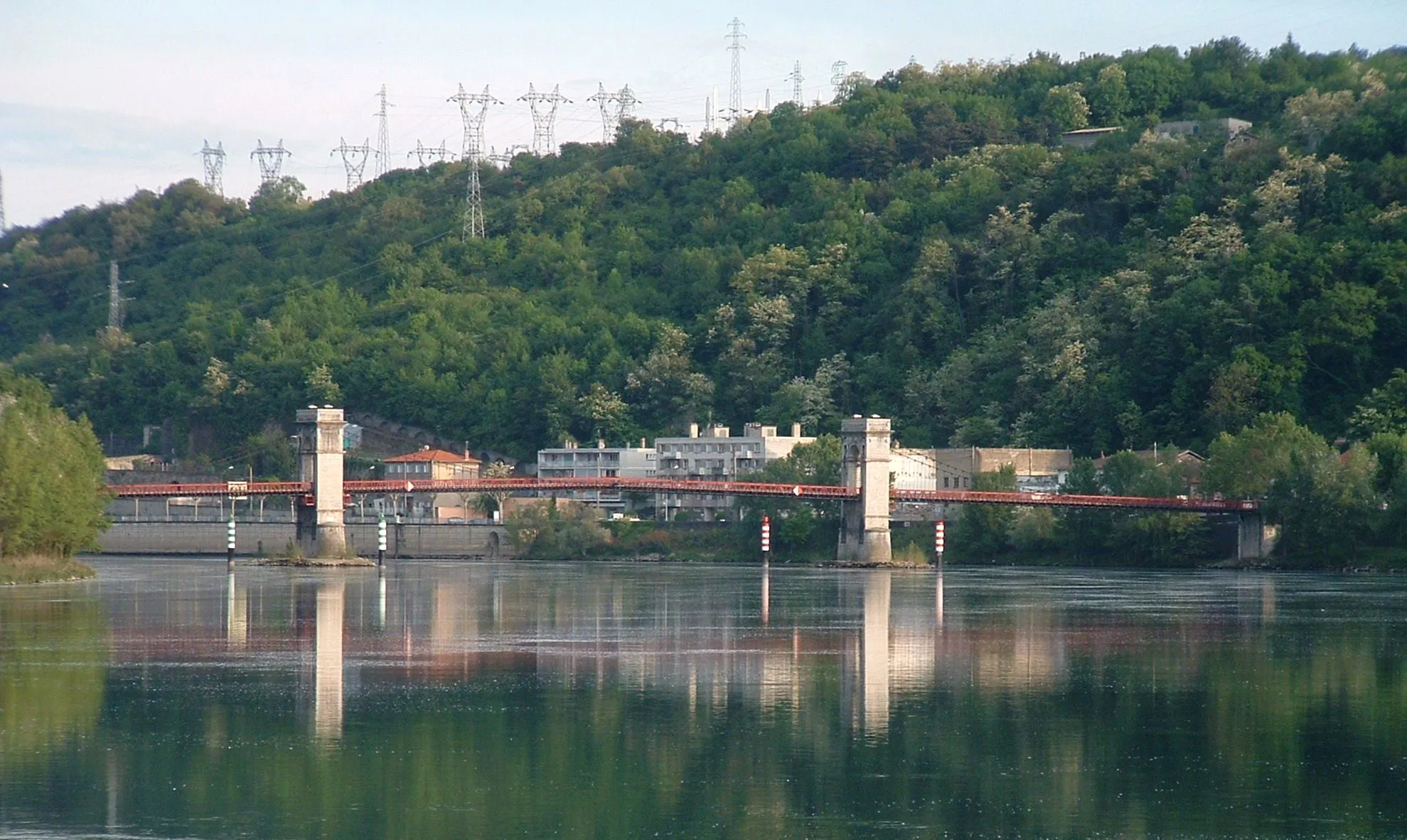
GivorsTownGivors sits at the confluence of the Rhône River and the Gier River. Take a moment to appreciate the natural beauty and tranquility of this picturesque town.
83 km
83 km
Finish: Givors City centerGivors: Cycling paradise in the heart of Rhône-Alpes.
Cycling routes from Givors:
Cycling Route in Rhône-Alpes, France: Feyzin to Givors Gravel Cycling Route in Rhône-Alpes, France: Saint-Symphorien-d'Ozon to Givors Long Road Cycling Route in Rhône-Alpes, France: Saint-Symphorien-d'Ozon to Givors The Vineyards and Rivers Loop The Rhône Discovery Challenging Road Cycling Route in Rhône-Alpes, France: Saint-Romain-en-Gier to Givors The Gravel Adventure Epic Gravel Cycling Route in Rhône-Alpes, France: Saint-Joseph to Givors The Scenic Challenge The Gravel Panorama
Cycling routes nearby: