Challenging Road Cycling Route in Rhône-Alpes, France: Saint-Romain-en-Gier to Givors
A road cycling route starting from Givors
Conquer the challenging roads from Saint-Romain-en-Gier to Givors and enjoy the rewards of picturesque landscapes
Map
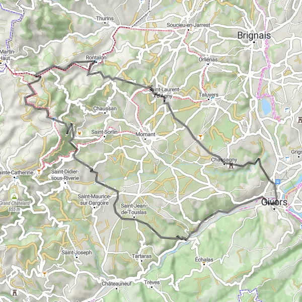
This road cycling route is marked as challenging due to its ascent and demanding terrain. With steep uphill sections and breathtaking descents, it is a thrilling experience for well-trained amateurs. The overall epicness of this route is rated at 3, as it boasts stunning views and remarkable natural beauty.
road
51 km
978 m
Tough
Route profile
Highlights on the route
0 km
0 km
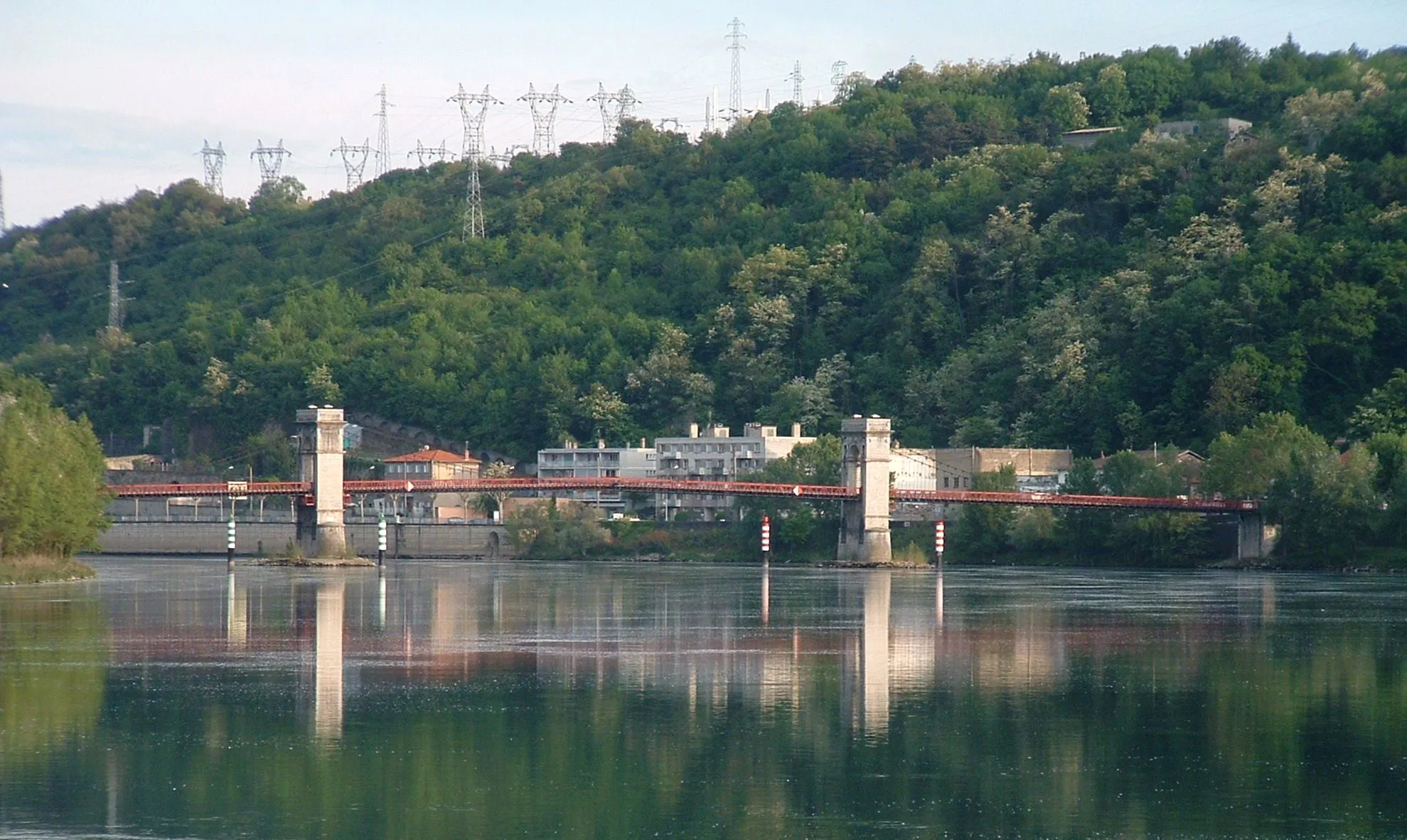
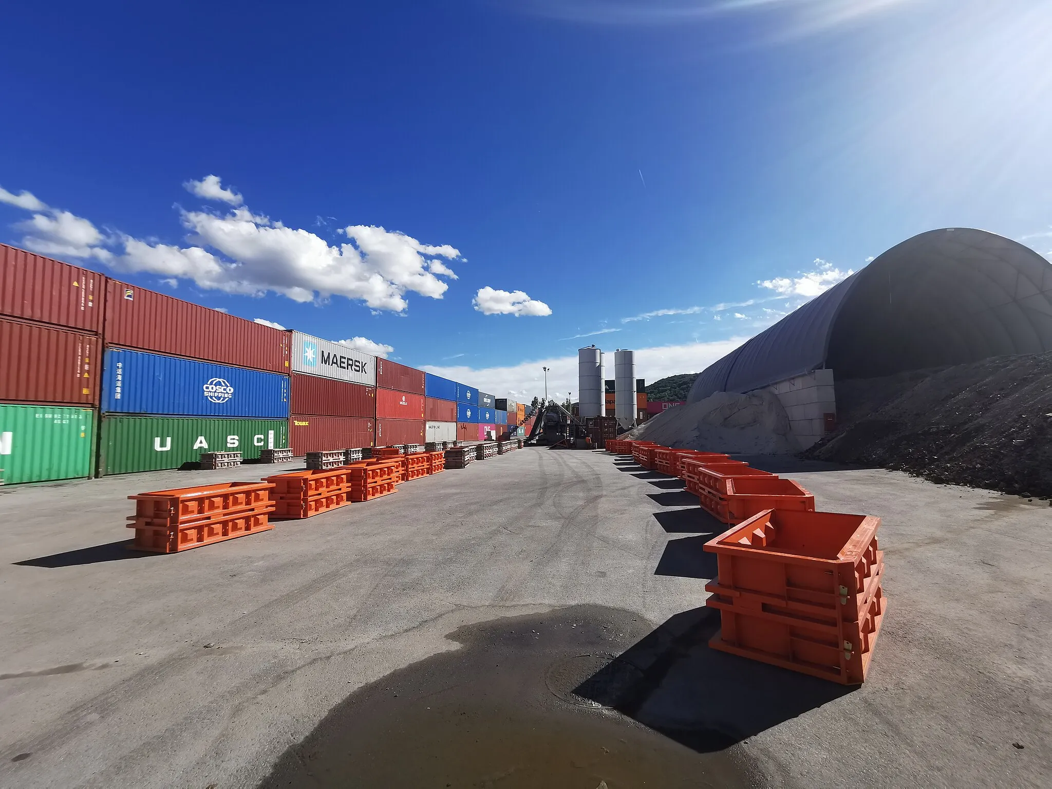
Start: Givors City centerGivors: Cycling paradise in the heart of Rhône-Alpes.
Givors is a vibrant town located in the Rhône-Alpes region of France. As a road and gravel cyclist, you will appreciate the town's cycling infrastructure and access to various routes. Givors offers a mix of urban and rural cycling experiences, with well-connected bike lanes and paths that lead to scenic countryside and historic landmarks. Nearby, you will find the iconic climb of Mont-du-Chat, known for its challenging gradients and thrilling descents. With its cycling-friendly environment and proximity to notable climbs, Givors is a fantastic destination for cyclists seeking memorable rides.6 km
6 km
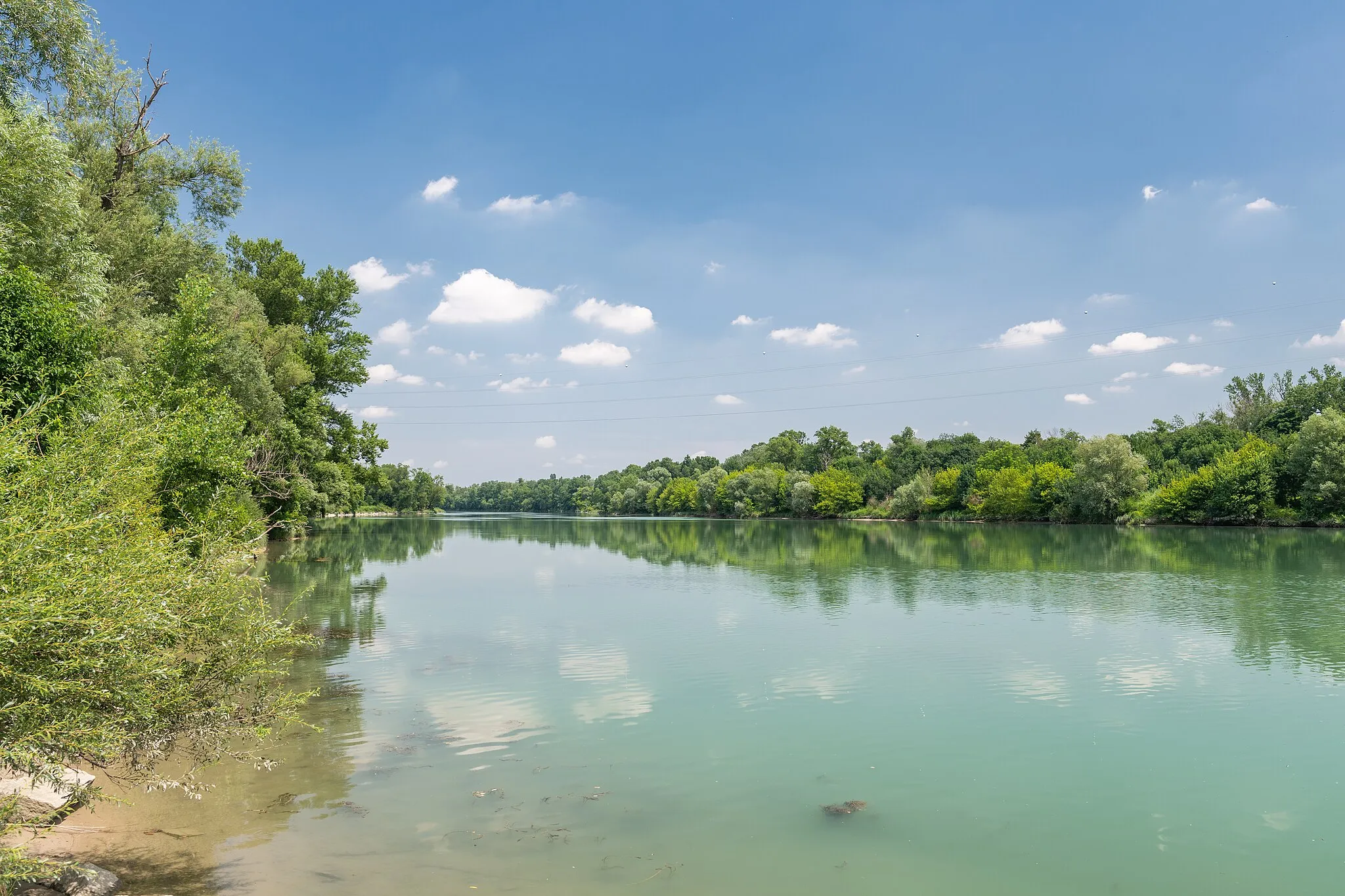
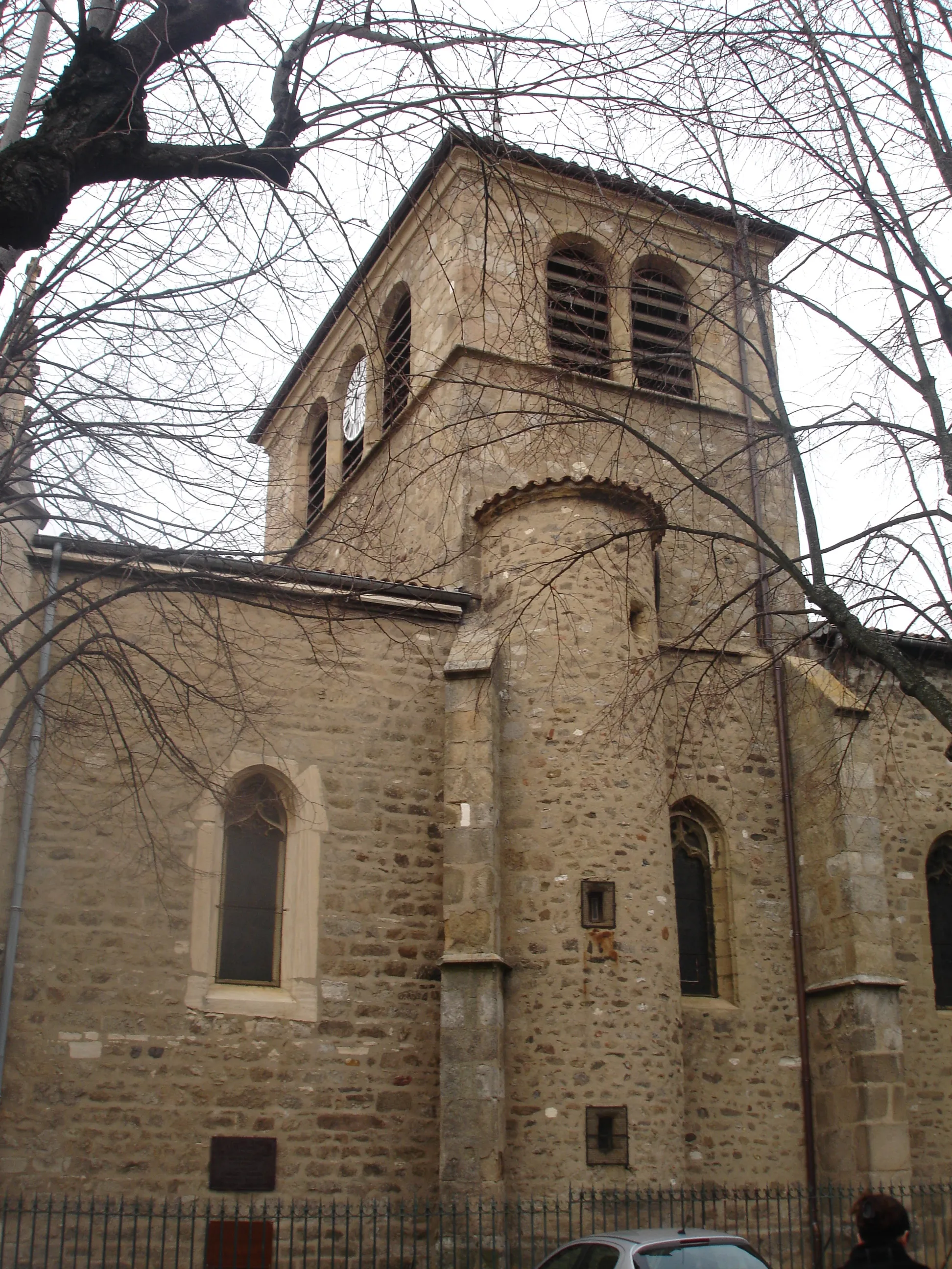
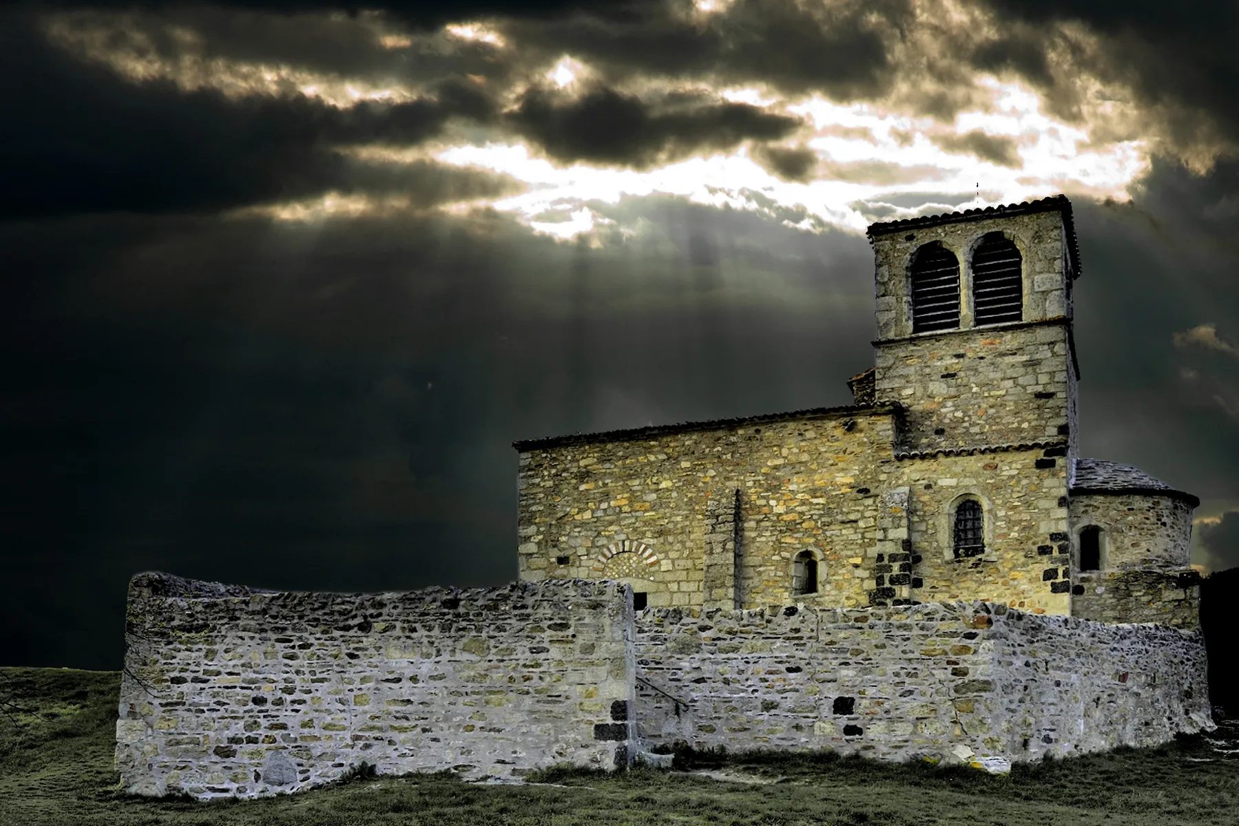
Saint-Romain-en-GierVillageEmbark on a journey through the picturesque village of Saint-Romain-en-Gier, known for its historical sites and charming architecture.
22 km
22 km
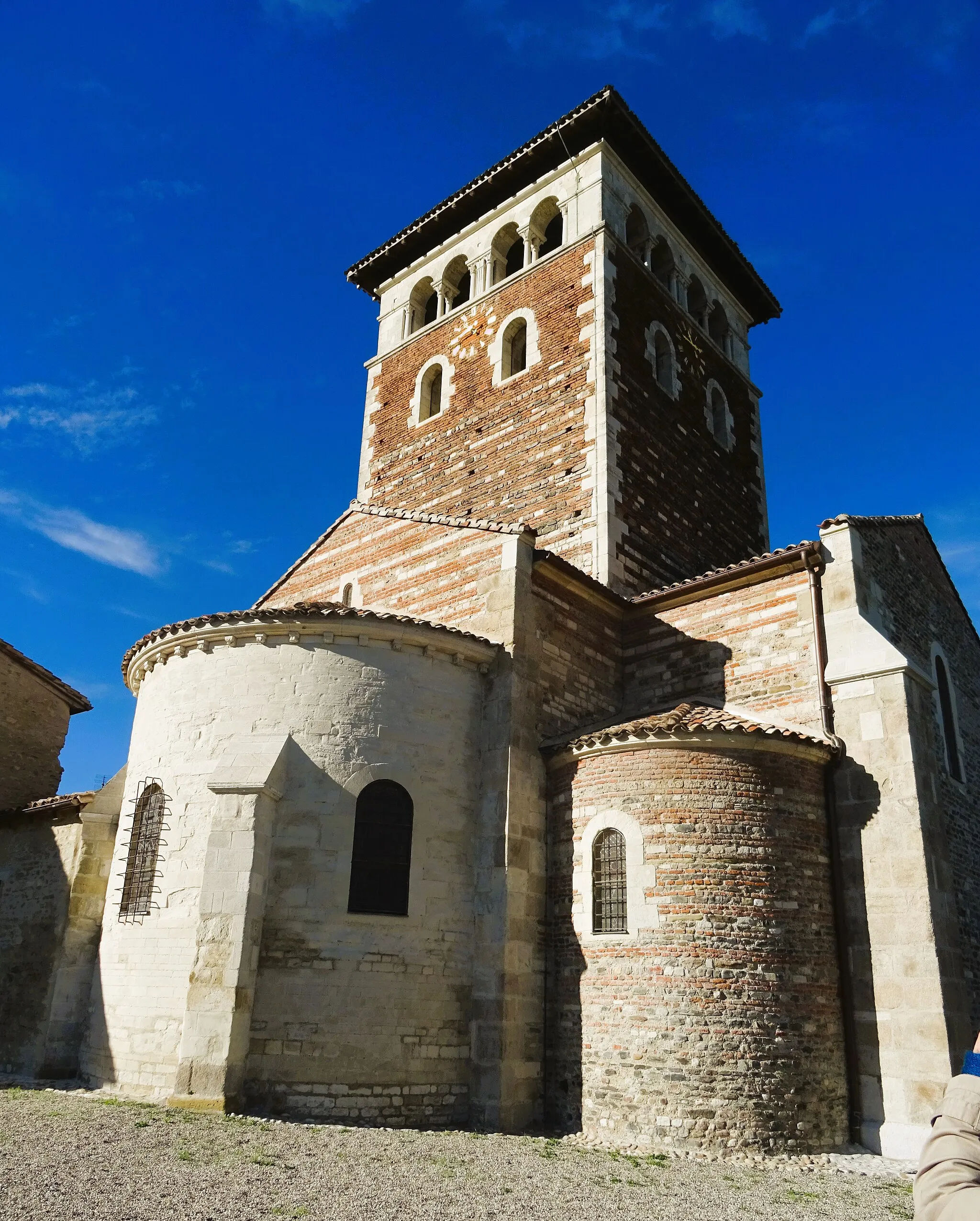
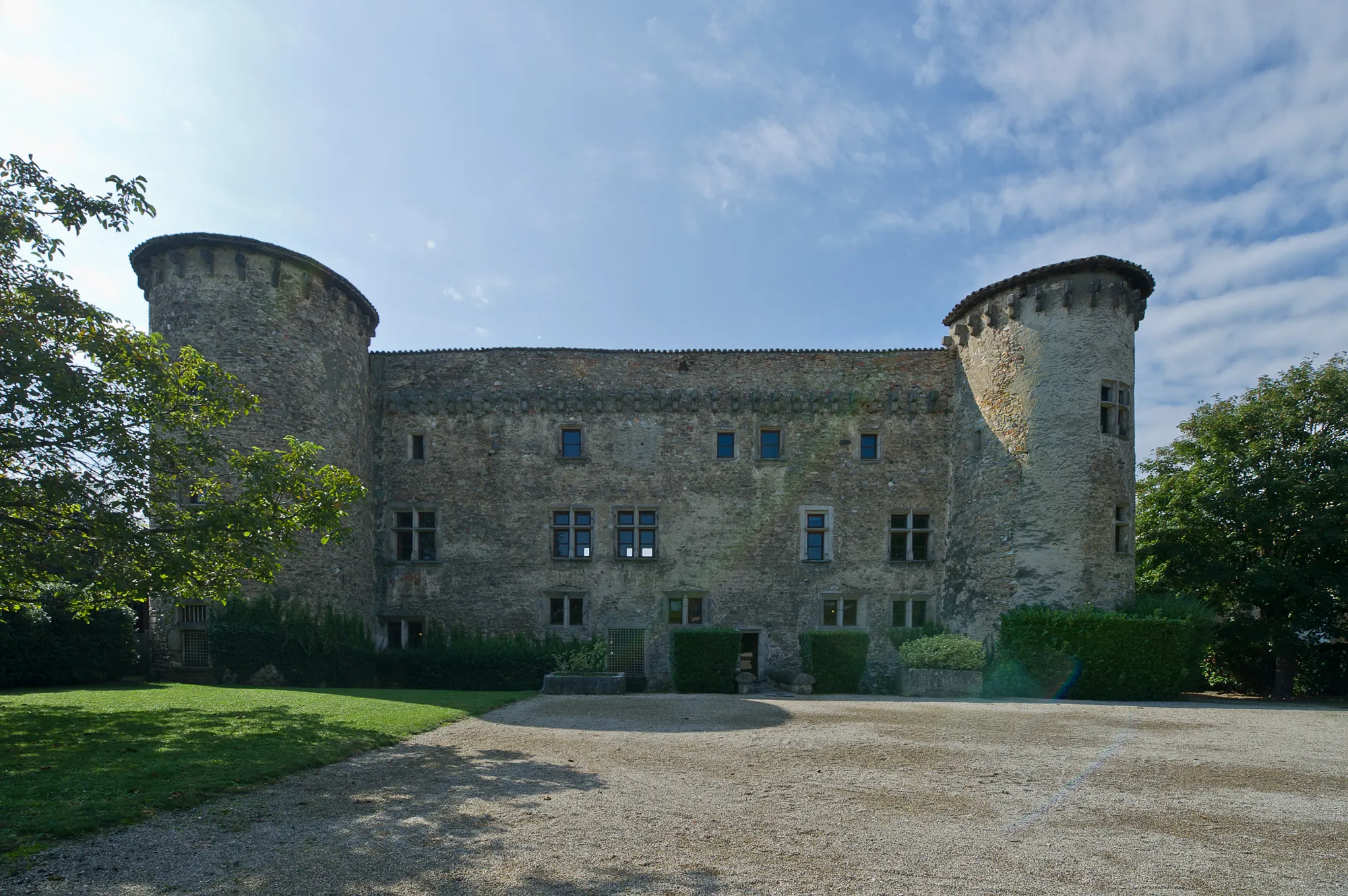
Saint-André-la-CôteVillageDiscover the hidden gem of Saint-André-la-Côte, a tranquil village surrounded by lush greenery.
23 km
23 km
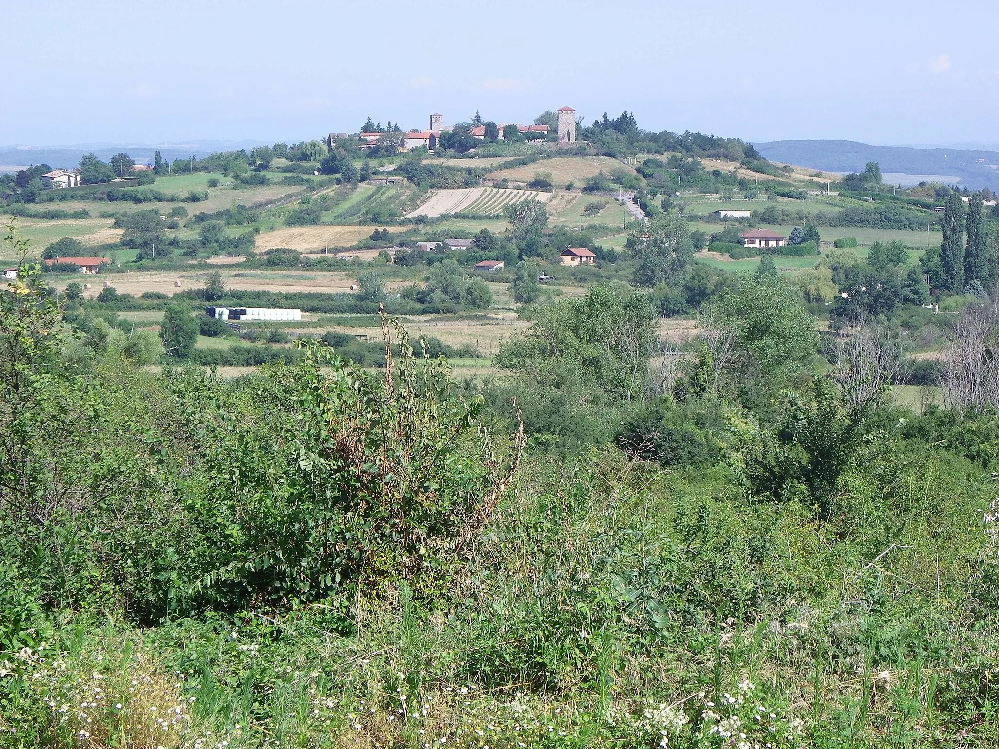
Signal de Saint-André934 mPeakReach the Signal de Saint-André, a panoramic viewpoint offering breathtaking vistas of the surrounding landscapes.
36 km
36 km
Crêt du Bouchat586 mPeakChallenge yourself with the climb to Crêt du Bouchat and be rewarded with stunning views from the mountain's summit.
39 km
39 km
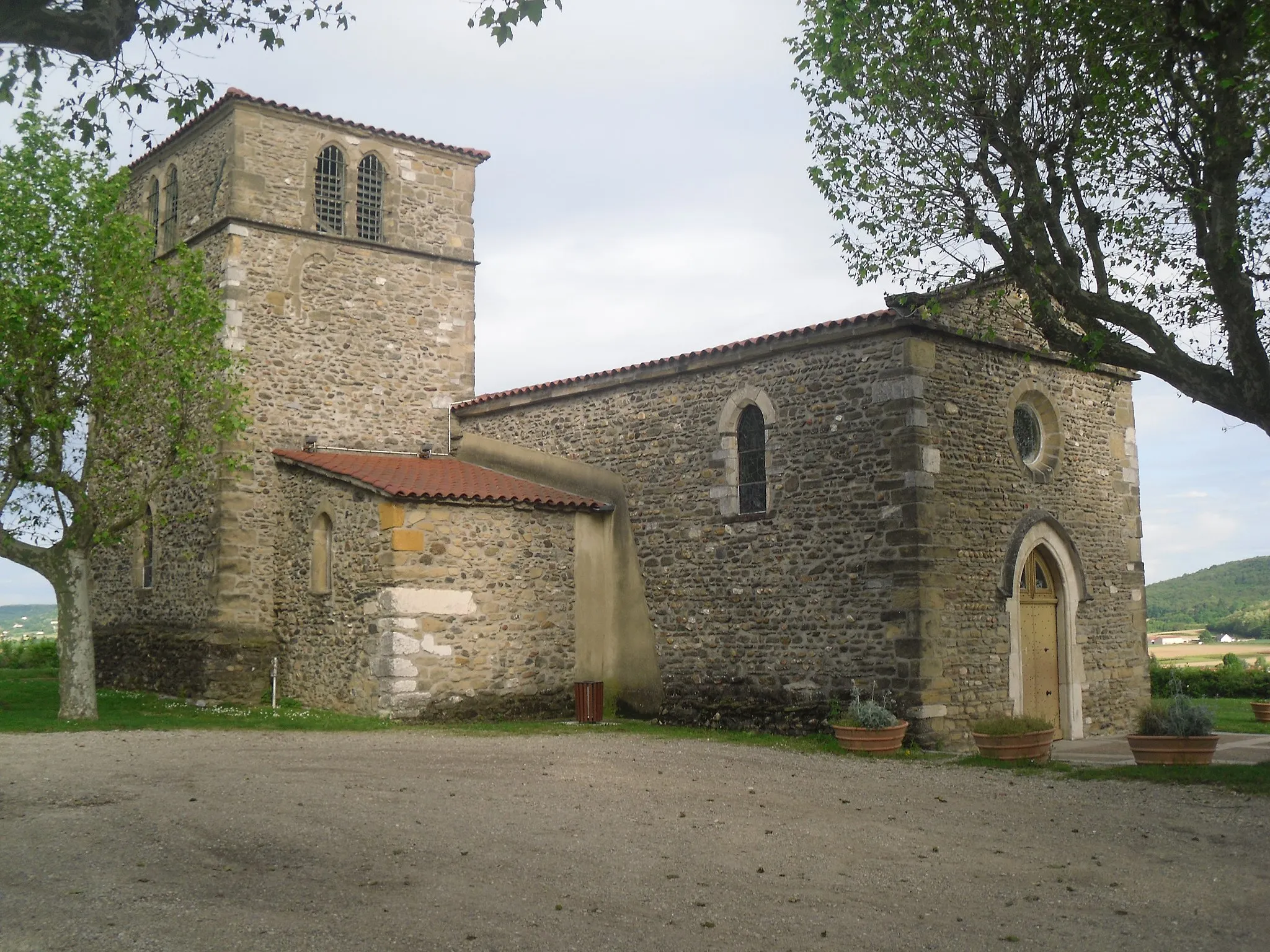
Saint-Laurent-d'AgnyVillageExperience the tranquility of Saint-Laurent-d'Agny, a small village nestled amidst picturesque countryside.
51 km
51 km
GivorsTownArrive in Givors, a historic town known for its charming streets and vibrant atmosphere.
51 km
51 km
Finish: Givors City centerGivors: Cycling paradise in the heart of Rhône-Alpes.
Cycling routes from Givors:
Cycling Route in Rhône-Alpes, France: Feyzin to Givors Gravel Cycling Route in Rhône-Alpes, France: Saint-Symphorien-d'Ozon to Givors Long Road Cycling Route in Rhône-Alpes, France: Saint-Symphorien-d'Ozon to Givors The Vineyards and Rivers Loop The Rhône Discovery Challenging Road Cycling Route in Rhône-Alpes, France: Saint-Romain-en-Gier to Givors The Gravel Adventure Epic Gravel Cycling Route in Rhône-Alpes, France: Saint-Joseph to Givors The Scenic Challenge The Gravel Panorama
Cycling routes nearby: