Round Trip to Esplanade
A road cycling route starting from Grezieu-la-Varenne
A ride to Esplanade with stunning views
Map
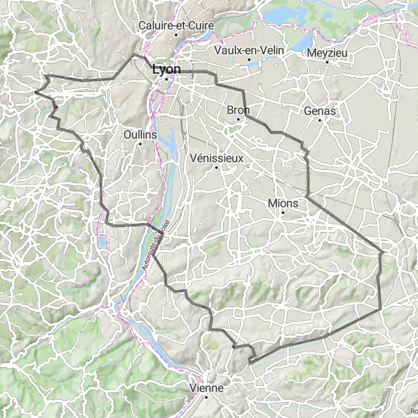
This round-trip cycling route takes you to Esplanade, offering breathtaking views along the way. With an ascent of 941 meters and a distance of 100 kilometers, this road route is suitable for well-trained amateurs. The route starts near Grézieu-la-Varenne and passes through Lyon, Saint-Pierre-de-Chandieu, Oytier-Saint-Oblas, Serpaize, Haut de Cornavan, Vernaison, and Craponne. The overall touristic attractiveness of this route is high, as it combines challenging climbs with beautiful landscapes.
road
100 km
941 m
Tough
Route profile
Highlights on the route
0 km
0 km
Start: Grézieu-la-Varenne Village centerGrézieu-la-Varenne: Conquer the Legendary Climbs of Rhône-Alpes!
Grézieu-la-Varenne, located in the Rhône-Alpes region of France, is a great locality for road and gravel cyclists. The area offers a mix of challenging climbs and scenic roads, providing plenty of opportunities for cyclists to push their limits and enjoy the beautiful surroundings. One of the most famous cycling spots in the region is the Mont du Chat climb, which has been featured in numerous professional races, including the Tour de France. Whether you're a competitive cyclist or simply looking to enjoy a leisurely ride, Grézieu-la-Varenne has something for everyone.13 km
13 km
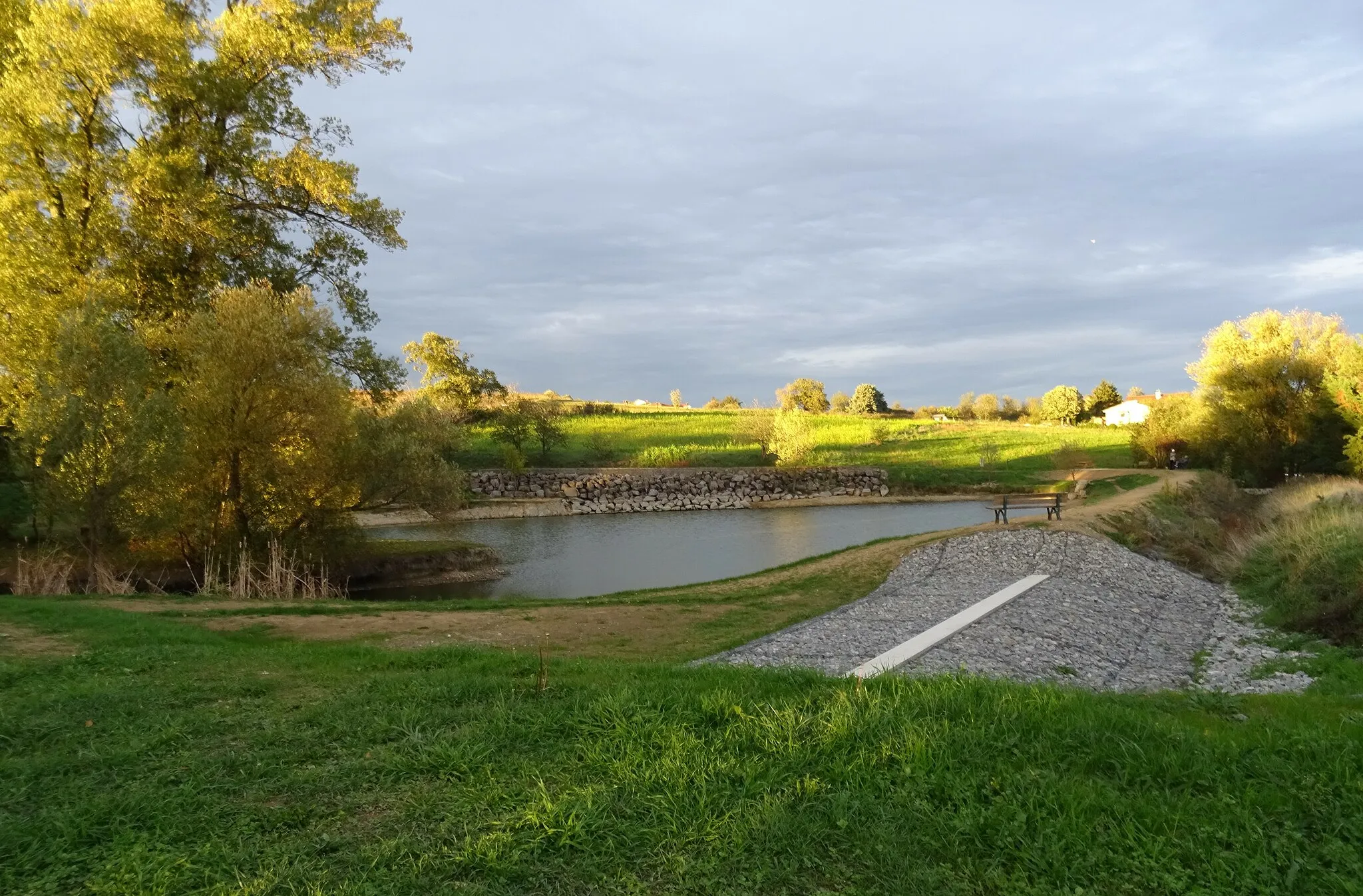
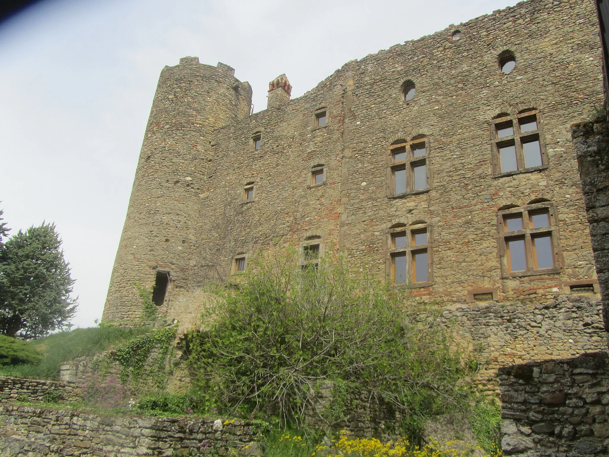
EsplanadeViewpointEsplanade offers stunning panoramic views of the surrounding countryside.
14 km
14 km
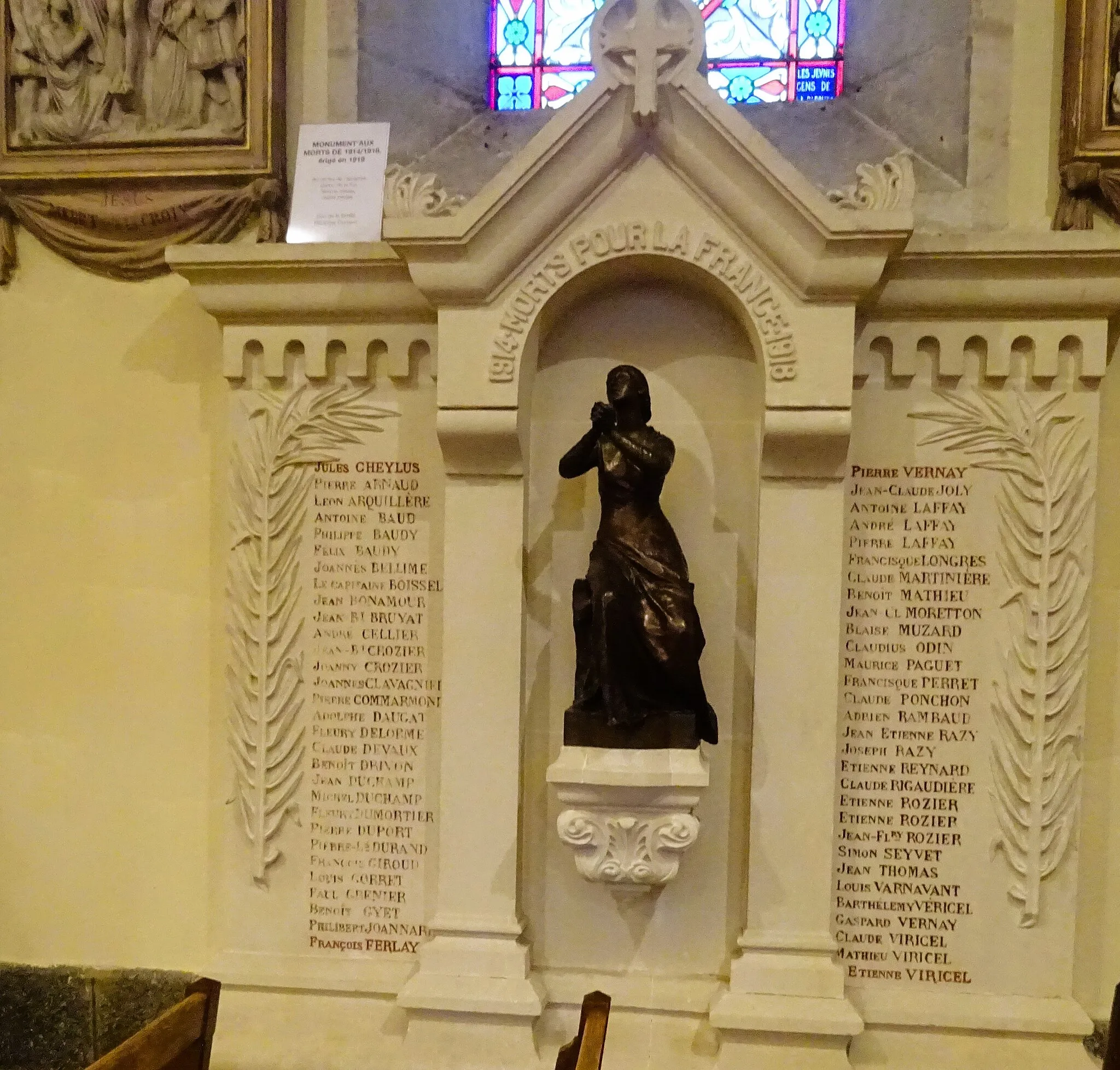
LyonCityLyon, a UNESCO World Heritage site, boasts architectural gems and a rich history.
38 km
38 km
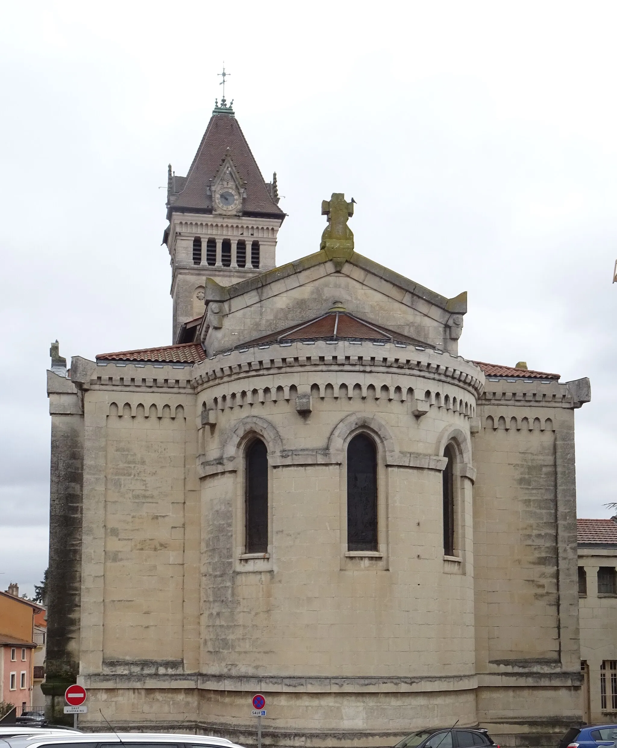
Saint-Pierre-de-ChandieuVillageSaint-Pierre-de-Chandieu is known for its charming town center and traditional French market.
52 km
52 km
Oytier-Saint-OblasVillageOytier-Saint-Oblas is a picturesque village with idyllic country landscapes.
62 km
62 km
SerpaizeVillageSerpaize is a historic town with medieval architecture and picturesque squares.
70 km
70 km
Haut de Cornavan350 mPeakHaut de Cornavan is a scenic viewpoint that offers stunning vistas of the surrounding countryside.
80 km
80 km
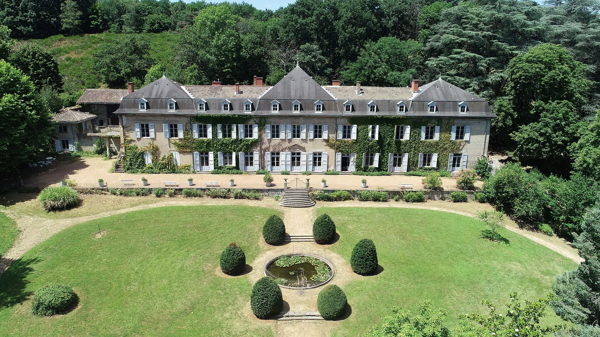
VernaisonVillageVernaison is home to the Château de Vernaison, a magnificent castle with beautiful gardens.
97 km
97 km
CraponneVillageCraponne is a charming village known for its historic buildings and cultural events.
100 km
100 km
Finish: Grézieu-la-Varenne Village centerGrézieu-la-Varenne: Conquer the Legendary Climbs of Rhône-Alpes!
Cycling routes from Grezieu-la-Varenne:
Scenic Tour to Charnay Challenging Route to Saint-Clément-les-Places Round Trip to Esplanade Valleys and Vineyards Experience The Ultimate Climbing Challenge Gravel Adventure in the Western Suburbs Mountains and Hilltops Adventure Gravel Adventure to Jons Challenging Ride to Villechenève Exploring Lyon's Surroundings
Cycling routes nearby: