Road Cycling Challenge: La Tour-du-Pin Loop
A road cycling route starting from La Tour-du-Pin
Embark on a challenging road cycling journey around La Tour-du-Pin, immersing yourself in stunning landscapes and taking on thrilling climbs.
Map
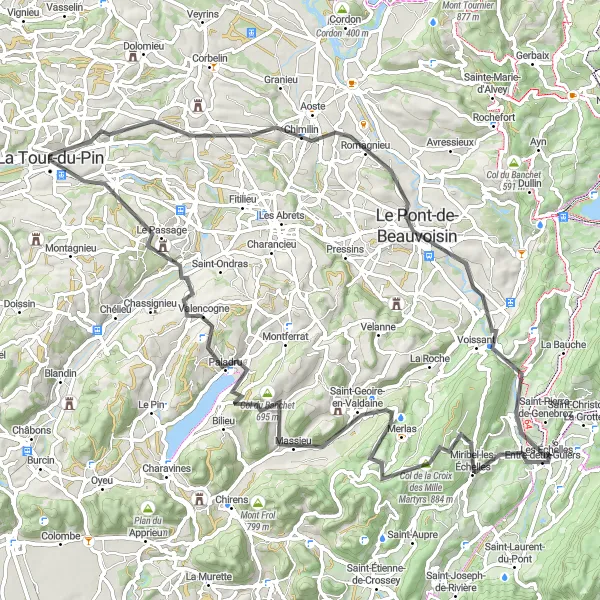
This 87 km road cycling route, featuring 1592 meters of ascent, takes you through varied terrain with rolling hills and notable climbs. Cyclists seeking a challenging adventure will enjoy the scenic beauty and rewarding climbs along the way.
road
87 km
1592 m
Tough
Route profile
Highlights on the route
0 km
0 km
Start: La Tour-du-Pin City centerLa Tour-du-Pin: Varied cycling routes in the scenic Rhône-Alpes region of France.
La Tour-du-Pin is a town located in the region of Rhône-Alpes, France. As a road and gravel cyclist, La Tour-du-Pin offers a variety of routes ranging from flat roads for leisurely rides to challenging climbs for experienced cyclists. The region is known for its stunning landscapes, with the Chartreuse Mountains and Lake Paladru being popular destinations for outdoor enthusiasts. La Tour-du-Pin is also home to the Tour du Dauphiné, a professional cycling race that attracts top riders from around the world. With its diverse routes and beautiful surroundings, La Tour-du-Pin is a great destination for cyclists of all abilities.7 km
7 km
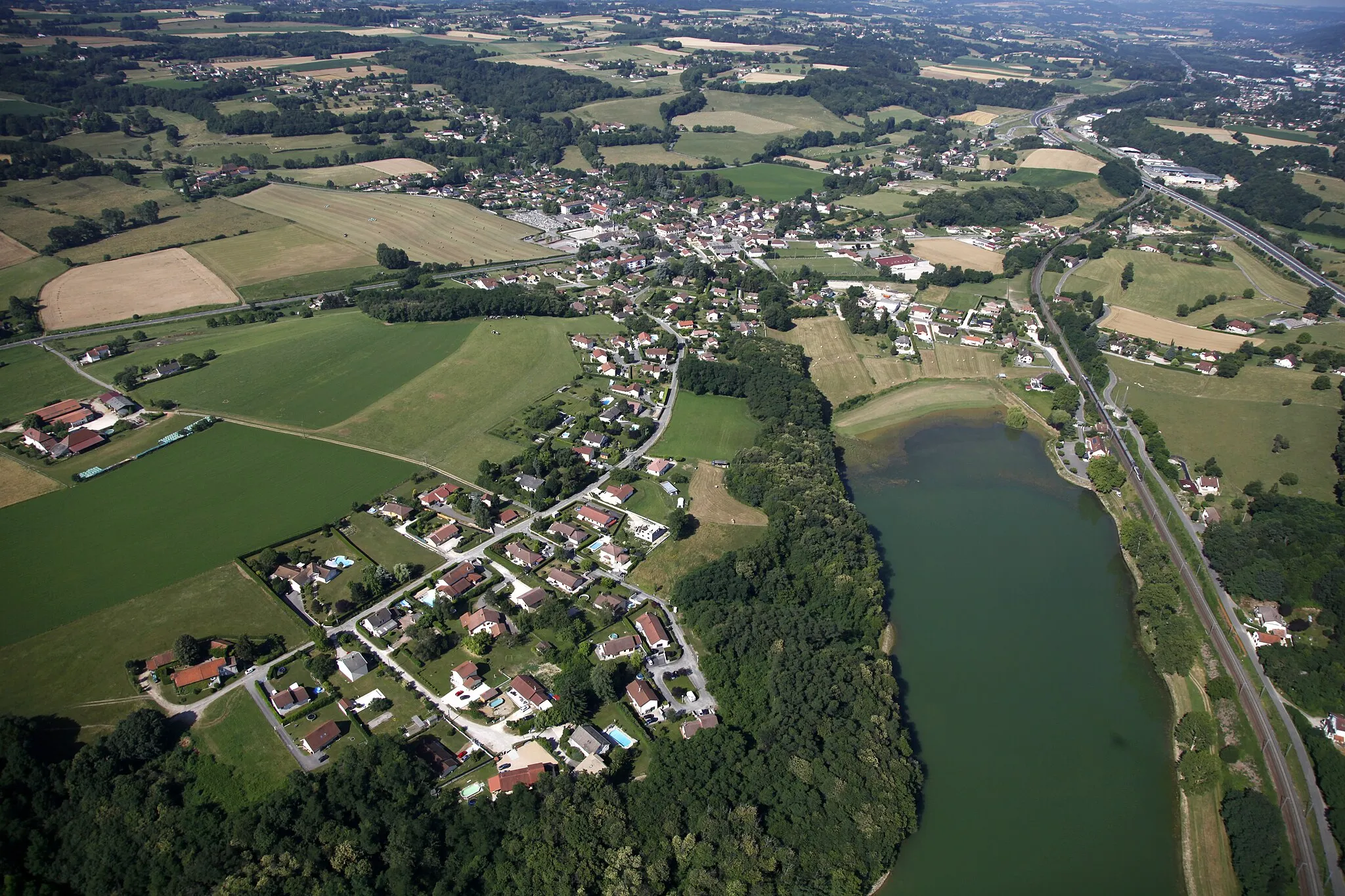
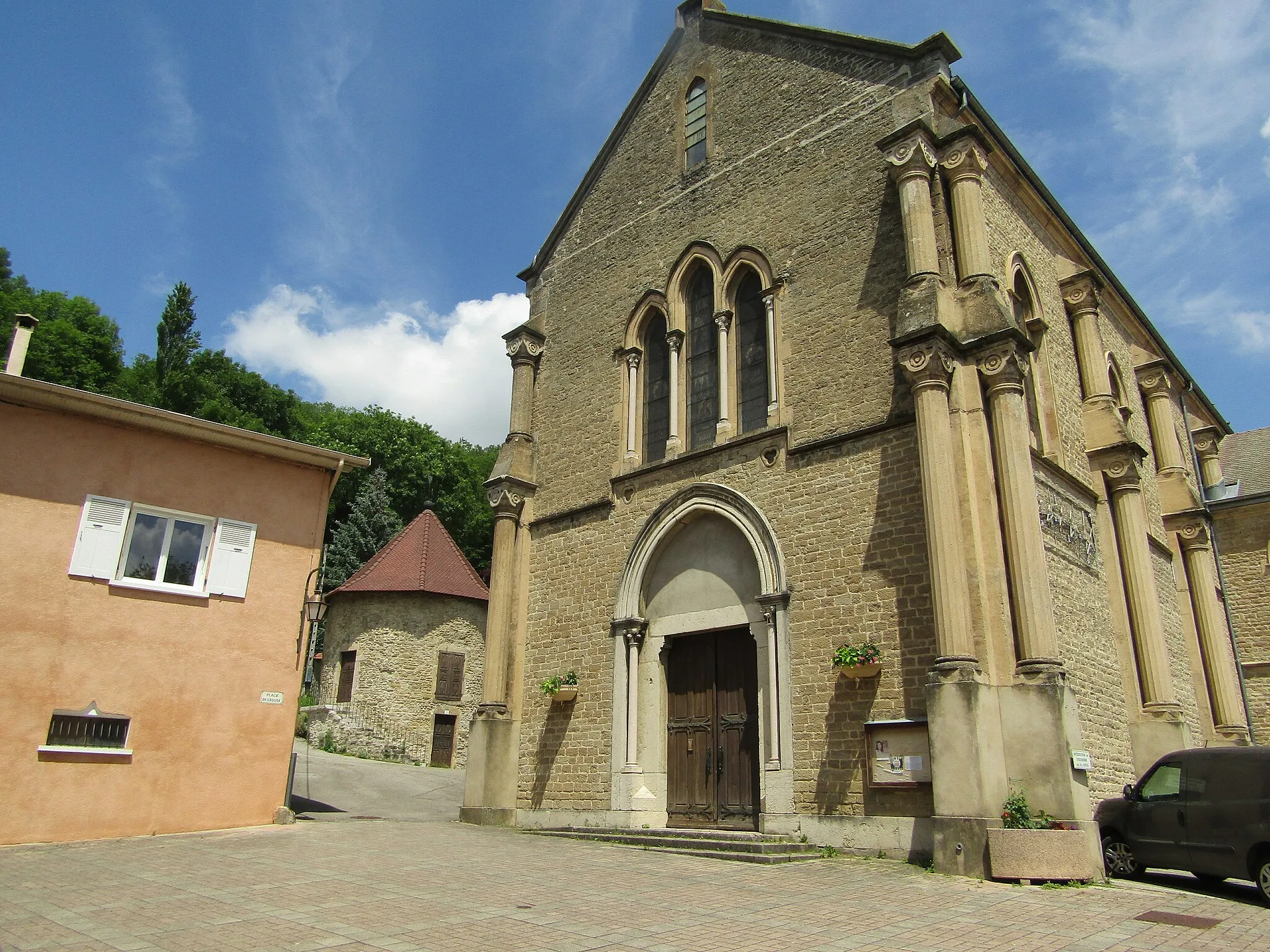
La Bâtie-MontgasconVillageAt the 7 km mark, you'll pass through La Bâtie-Montgascon, a charming village known for its preserved medieval architecture and rich history.
22 km
22 km
Pont-de-BeauvoisinVillagePont-de-Beauvoisin, located at the 22 km mark, offers a striking bridge over the Guiers river, providing an excellent photo opportunity during your ride.
42 km
42 km
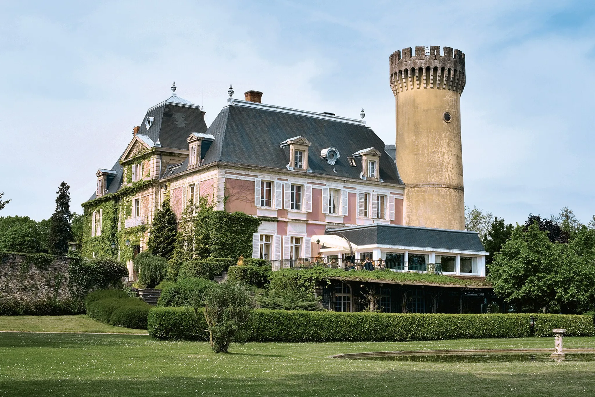
Notre-dame du ChâteauViewpointMake a stop at Notre-dame du Château at the 42 km mark, an ancient hilltop chapel with commanding views of the surrounding landscape. It's a worthwhile spot to take a break and soak in the panoramic vistas.
43 km
43 km
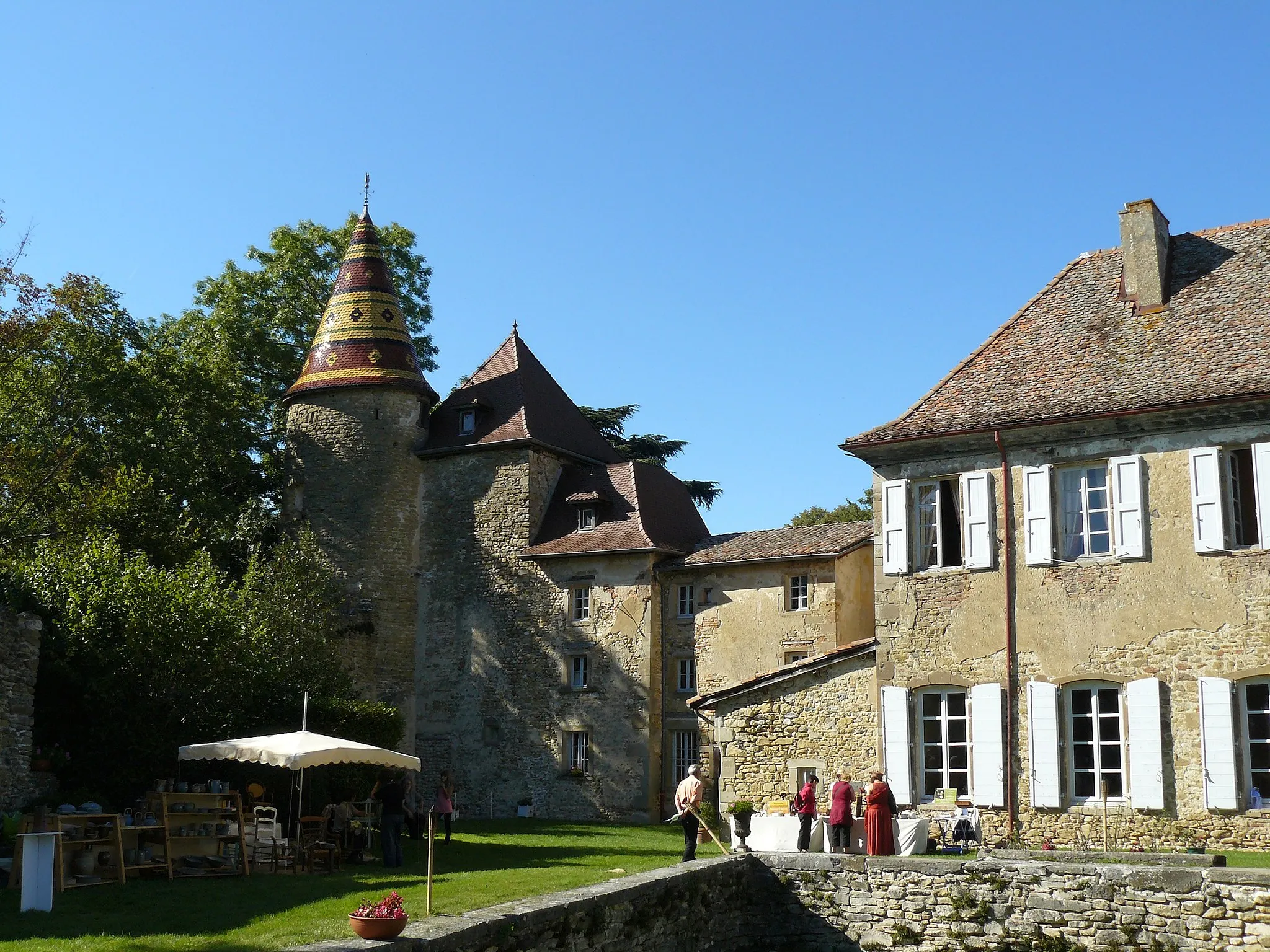
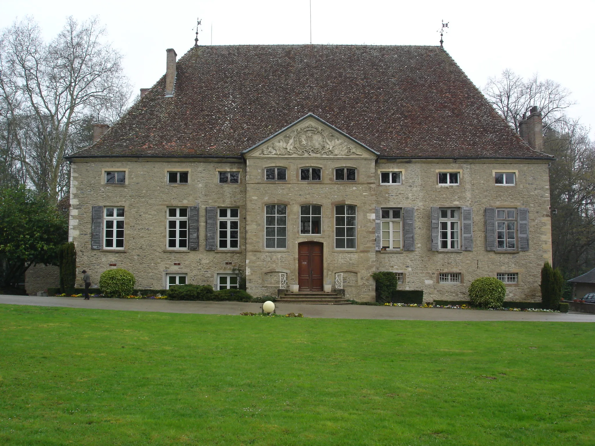
Miribel-les-ÉchellesVillageLocated at the 43 km mark, Miribel-les-Échelles boasts medieval architecture, inviting cafes, and stunning views of the Chartreuse Natural Park.
51 km
51 km
Col du Baracuchet835 mMountain PassCol du Baracuchet awaits at the 51 km mark, offering a legendary climb with sweeping hairpin bends and unparalleled vistas of the Rhône-Alpes region.
57 km
57 km
Saint-Geoire-en-ValdaineVillageSaint-Geoire-en-Valdaine at the 57 km mark is a quaint village surrounded by picturesque countryside, perfect for a delightful coffee stop.
70 km
70 km
PaladruVillageLake Paladru awaits at the 70 km mark, offering striking turquoise waters and scenic roads winding around its shores.
87 km
87 km
La Tour-du-PinTownLa Tour-du-Pin awaits you at the 87 km mark, bringing an end to your challenging and rewarding road cycling journey.
87 km
87 km
Finish: La Tour-du-Pin City centerLa Tour-du-Pin: Varied cycling routes in the scenic Rhône-Alpes region of France.
Cycling routes from La Tour-du-Pin:
The Succieu Escape The Tour of Isère Soudain and Bienvenue Gravel Adventure The Countryside Escape The Mont Bayange Challenge Bourgoin-Jallieu Gravel Loop Gravel Adventure in La Tour-du-Pin Discover the Hidden Gems of Bizonnes The Tour of Isère II - Challenge Edition The Château Route Road Cycling Challenge: La Tour-du-Pin Loop
Cycling routes nearby: