La Chartreuse Loop
A road cycling route starting from Poisat
Explore the stunning Chartreuse Mountains on this scenic road cycling route.
Map
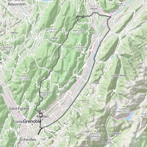
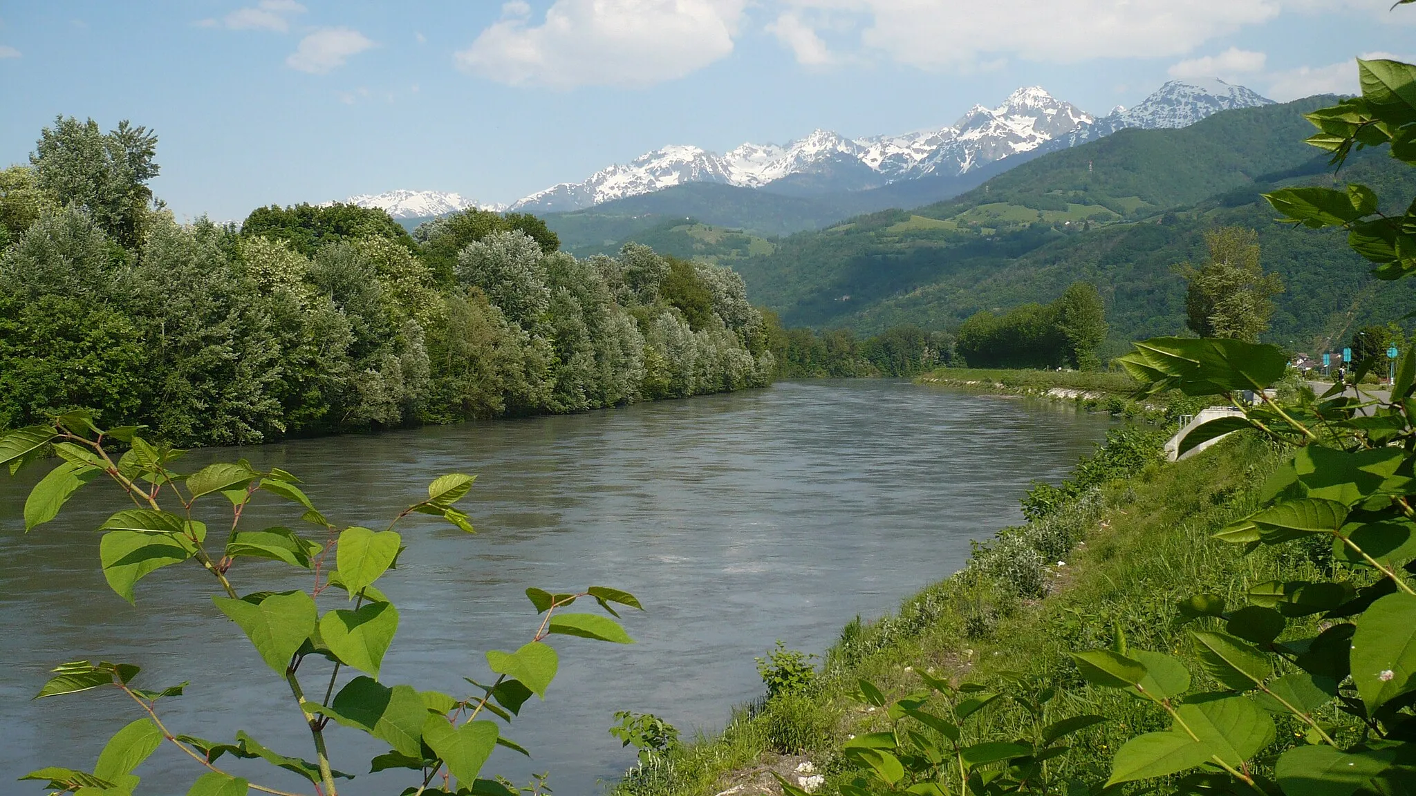
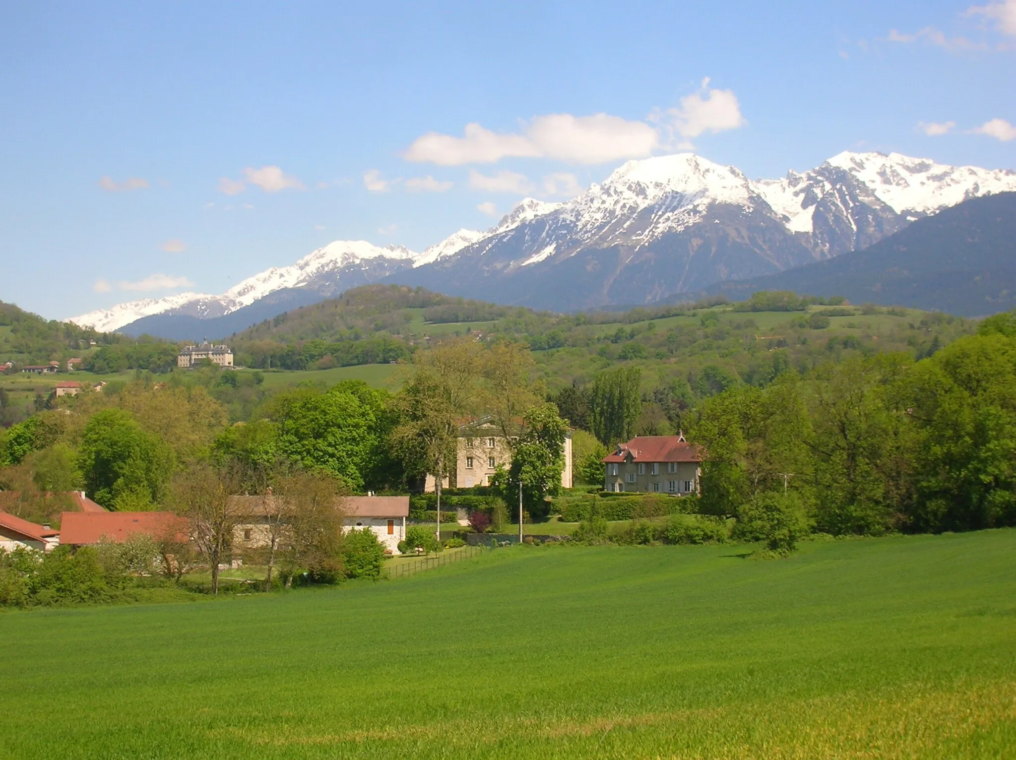
Discover the beauty of the Chartreuse Mountains on this challenging road cycling loop. The route starts near Poisat and takes you through picturesque villages, over mountain passes, and along stunning mountain vistas. With a total ascent of 2,342 meters and a distance of 119 kilometers, this route is best suited for experienced cyclists. Enjoy the breathtaking views from Col du Cucheron and Montmélian before ending your journey near Molard.
road
119 km
2342 m
Savage
Route profile
Highlights on the route
0 km
0 km
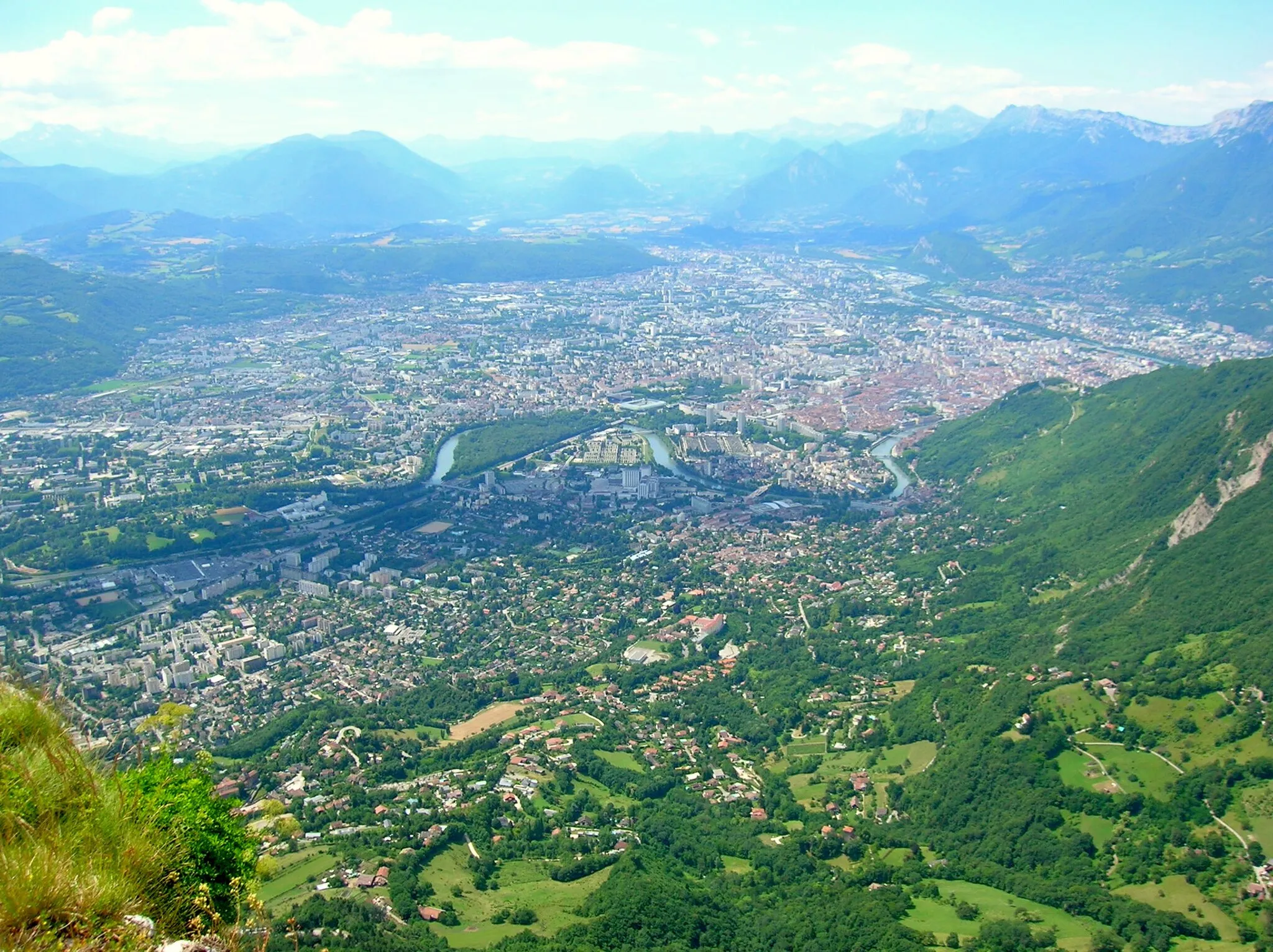
Start: Poisat Village centerPoisat: Explore cycling paradise in Poisat, a hidden gem in the Rhône-Alpes region.
Poisat, located in the Rhône-Alpes region of France, is a wonderful locality for road and gravel cyclists. The peaceful countryside and winding roads make for idyllic cycling adventures. Poisat is also renowned for its close proximity to some notable cycling spots, such as Alpe d'Huez and Col de Porte. These legendary climbs attract cyclists from around the world and add to the allure of the area. With its cyclist-friendly infrastructure and breathtaking scenery, Poisat is a must-visit destination for all cycling enthusiasts.10 km
10 km
CorencVillageCorenc, a charming village with beautiful views of the surrounding mountains.
16 km
16 km
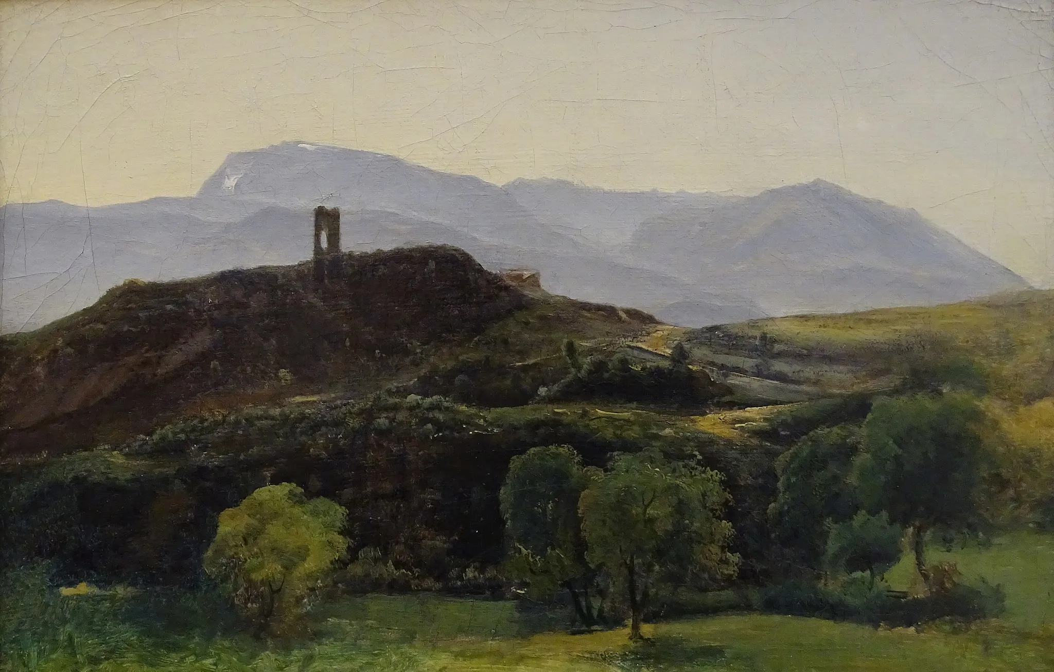
L'Écoutoux1406 mViewpointL'Écoutoux, a serene spot perfect for a short break and admiring the scenery.
31 km
31 km
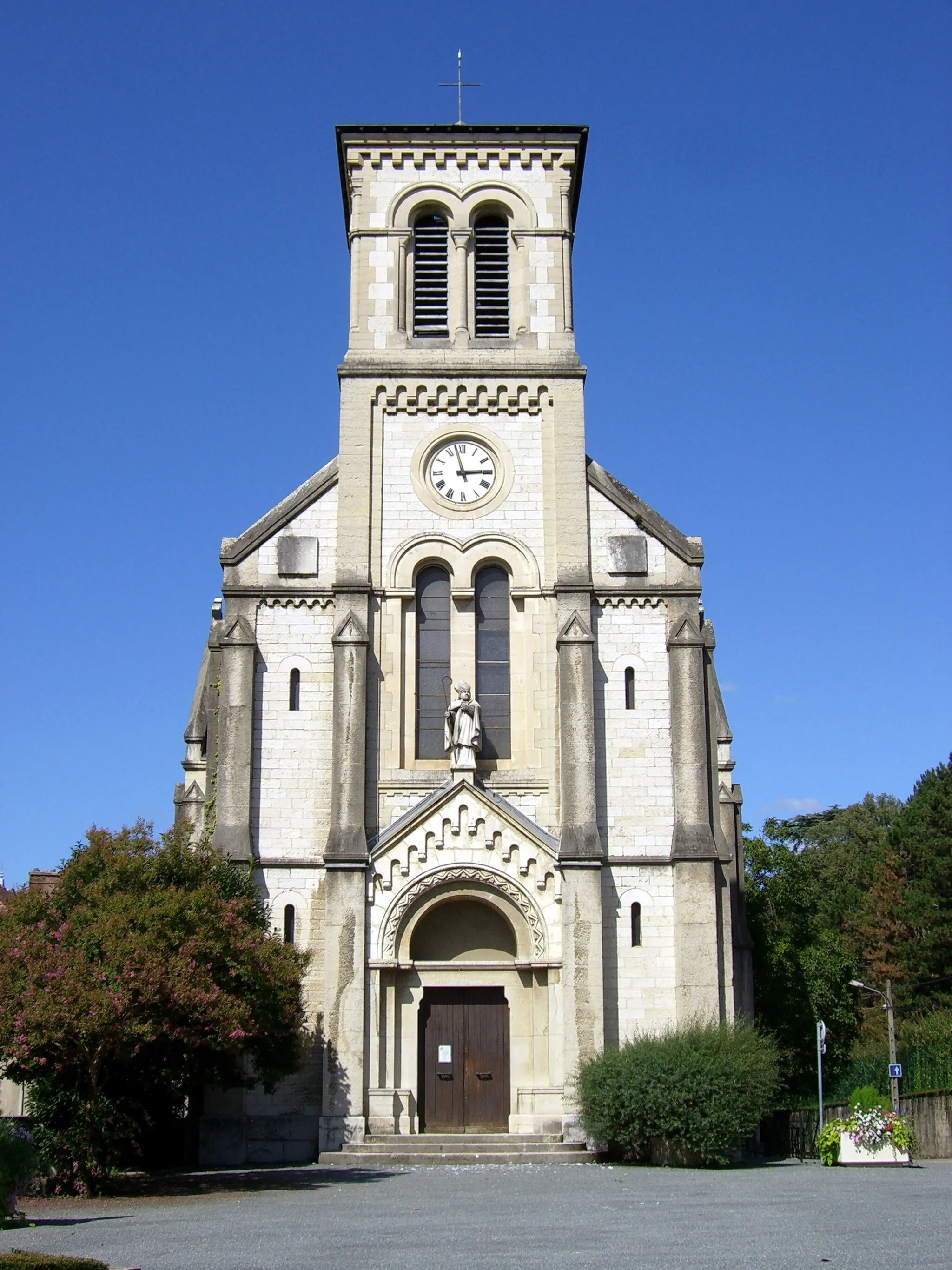
Saint-Pierre-de-ChartreuseVillageSaint-Pierre-de-Chartreuse, a historic village nestled in the heart of the mountains.
35 km
35 km
Col du Cucheron1140 mMountain PassCol du Cucheron, a legendary climbing spot with stunning panoramic views.
42 km
42 km
Saint-Pierre-d'Entremont (Isère)VillageSaint-Pierre-d'Entremont (Isère), a picturesque village surrounded by natural beauty.
52 km
52 km
Col du Granier1134 mMountain PassCol du Granier, a challenging climb with rewarding views at the summit.
71 km
71 km
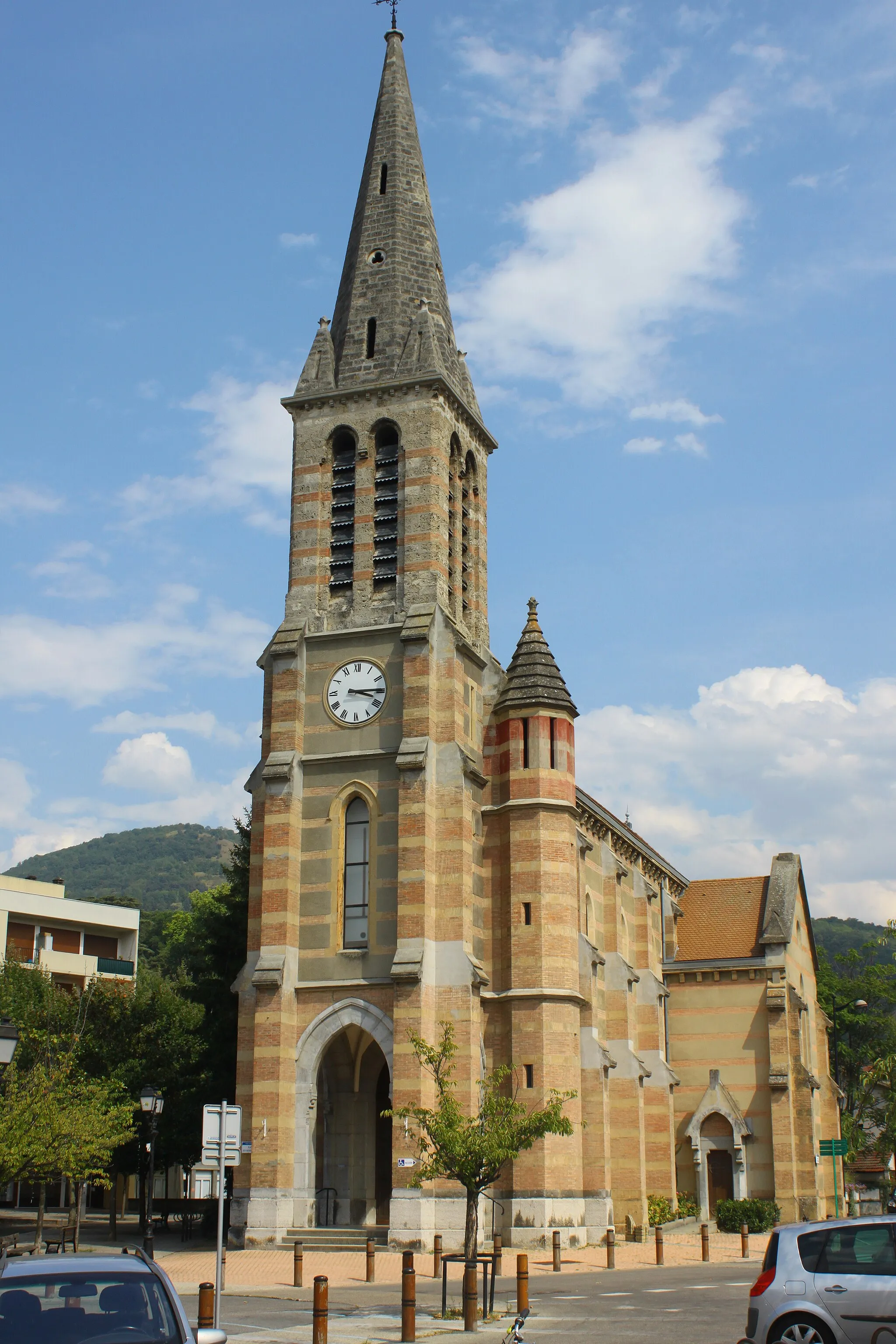
MontmélianVillageMontmélian, a historic town with beautiful architecture and stunning views.
91 km
91 km
GoncelinVillageGoncelin, a charming village known for its peaceful atmosphere and scenic surroundings.
105 km
105 km
Villard-BonnotVillageVillard-Bonnot, a town rich in history and surrounded by picturesque landscapes.
115 km
115 km
Molard427 mPeakMolard, an idyllic spot to conclude your cycling journey with panoramic views.
119 km
119 km
Finish: Poisat Village centerPoisat: Explore cycling paradise in Poisat, a hidden gem in the Rhône-Alpes region.
Cycling routes nearby: