Les Tracassins
A road cycling route starting from Saint-Jean-de-Moirans
Cycling through scenic valleys and challenging hills
Map
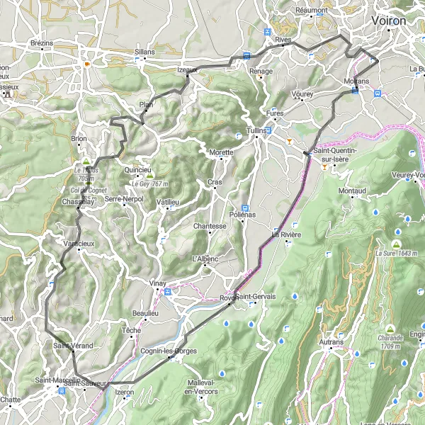
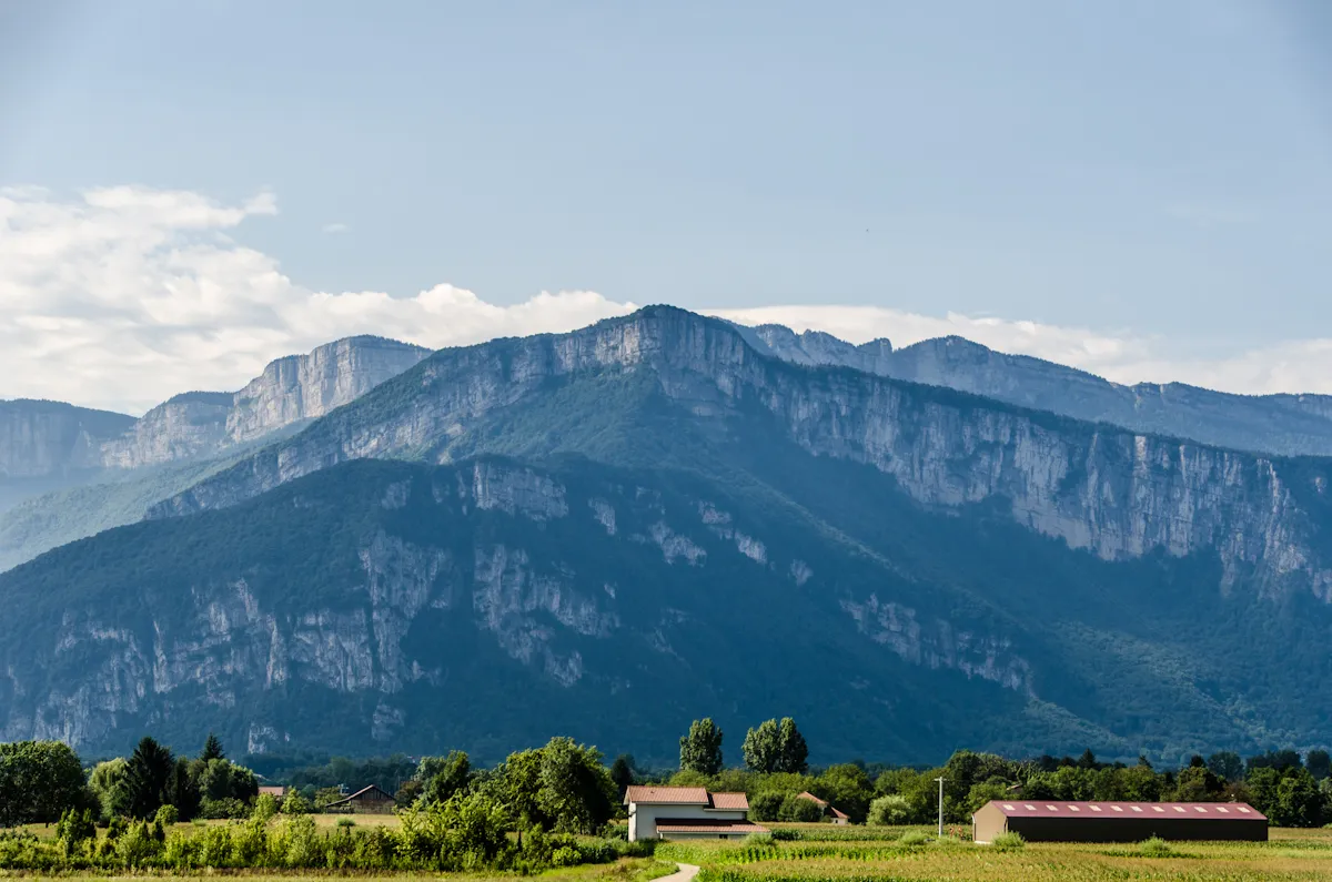
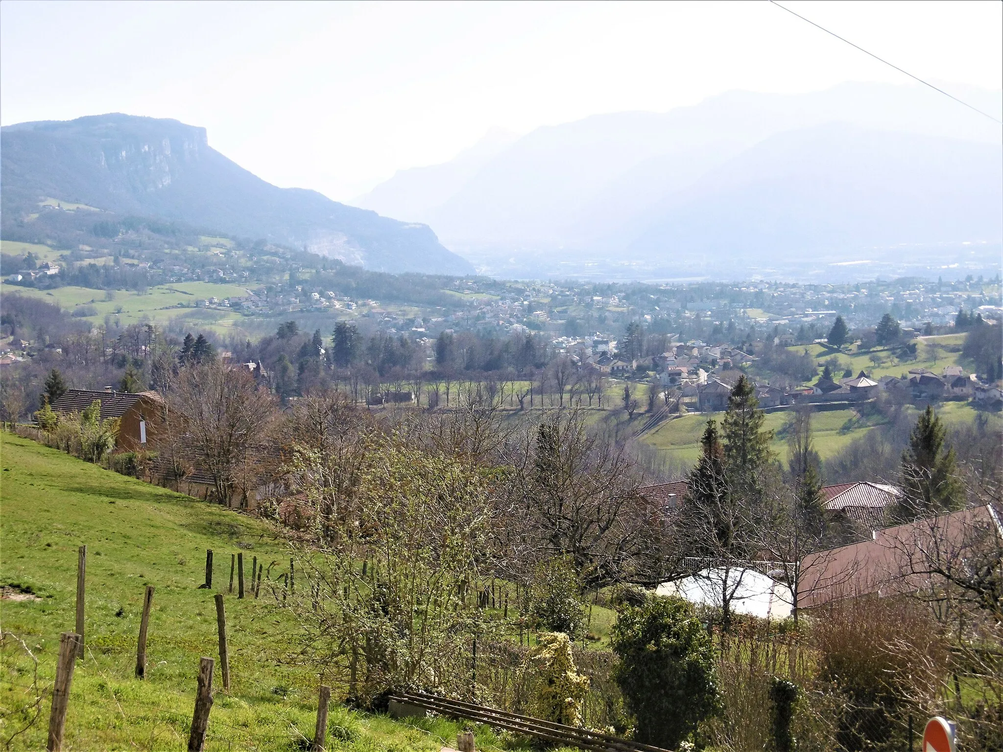
Les Tracassins is a round-trip cycling route starting near Saint-Jean-de-Moirans in Rhône-Alpes, France. The route takes you through picturesque valleys and offers a mix of challenging hills and gentle climbs. With a distance of 83 kilometers and an ascent of 1161 meters, this route is suitable for well-trained amateur cyclists looking for a rewarding challenge. The overall difficulty is rated as 3 out of 5, making it suitable for experienced riders who want to push their limits. The route also offers a range of highlights along the way, providing interesting stops for riders to explore.
road
83 km
1161 m
Tough
Route profile
Highlights on the route
0 km
0 km
Start: Saint-Jean-de-Moirans Village centerSaint-Jean-de-Moirans: Diverse cycling routes with nearby attractions like Mont Ventoux.
Saint-Jean-de-Moirans is situated in the Rhône-Alpes region of France. The locality offers a variety of cycling routes, ranging from flat roads to hilly terrain. Cyclists can explore the scenic countryside and enjoy views of the surrounding mountains. Nearby cycling attractions include Mont Ventoux and the Vercors Massif, both popular destinations for road cycling. Overall, Saint-Jean-de-Moirans is a suitable choice for cyclists looking for diverse routes and a mix of challenging climbs and leisurely rides.3 km
3 km
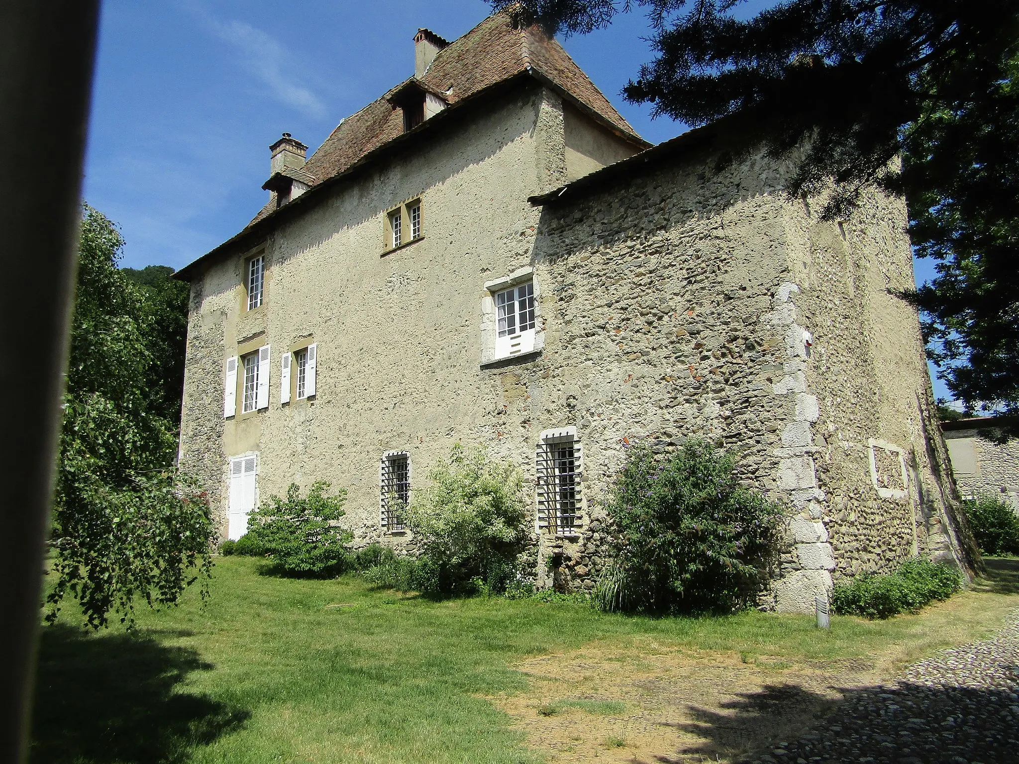
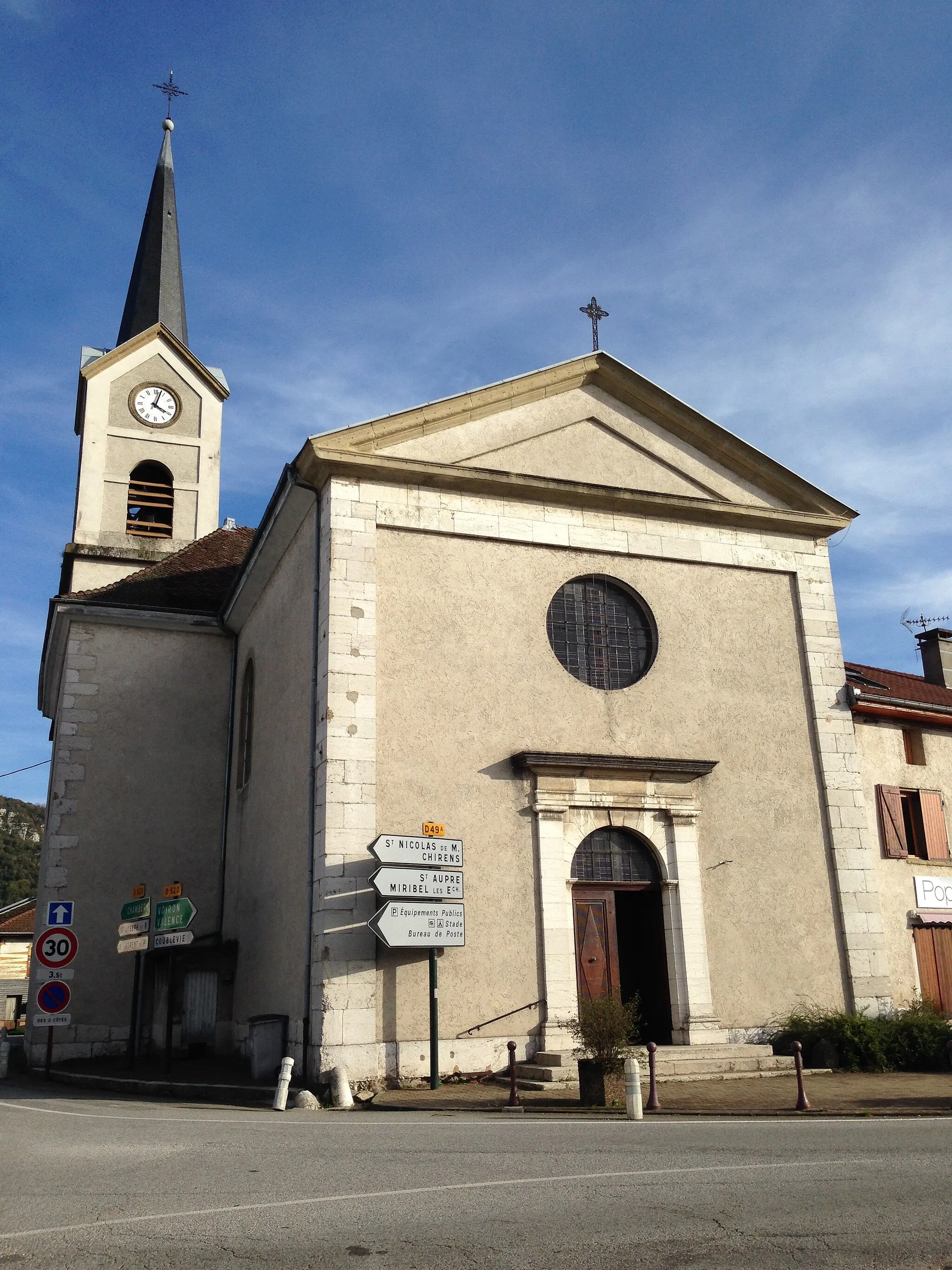
MoiransVillageMoirans: Enjoy the charming town of Moirans with its historic buildings and delightful cafes. Take a break and immerse yourself in the local culture.
27 km
27 km
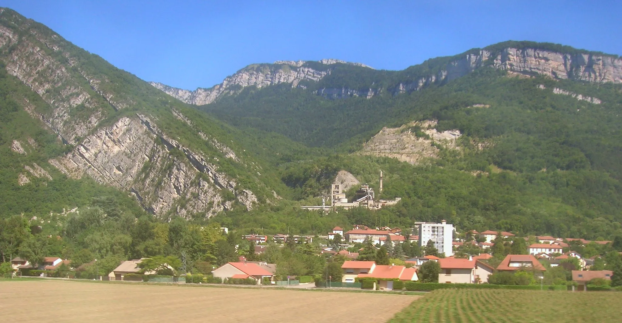
Cognin-les-GorgesVillageCognin-les-Gorges: Discover the beauty of Cognin-les-Gorges, where narrow roads wind through deep gorges, offering stunning views and a thrilling cycling experience.
42 km
42 km
MurinaisVillageMurinais: Immerse yourself in the tranquil and scenic town of Murinais. Explore its traditional architecture and picturesque landscapes.
51 km
51 km
Col du Cognet525 mMountain PassCol du Cognet: Conquer the challenging climb of Col du Cognet, a legendary spot known for its steep gradients and breathtaking panoramic views.
62 km
62 km
Le Truc629 mPeakLe Truc: Arrive at Le Truc, a quaint village perched atop a hill offering panoramic vistas. Take in the sweeping views and capture memorable photos.
67 km
67 km
IzeauxVillageIzeaux: Explore the charming village of Izeaux, known for its well-preserved architecture, traditional atmosphere, and warm hospitality.
76 km
76 km
CharnèclesVillageCharnècles: Pass through Charnècles, a small village surrounded by picturesque countryside. Enjoy the peaceful atmosphere and beautiful rural landscapes.
83 km
83 km
Finish: Saint-Jean-de-Moirans Village centerSaint-Jean-de-Moirans: Diverse cycling routes with nearby attractions like Mont Ventoux.
Cycling routes from Saint-Jean-de-Moirans:
The Gravel Adventure La Murette Gravel Ride Gravel Route: Explore Voiron and Col du Banchet Road Route: Tullins Delight Road Route: The Truc Challenge Les Tracassins Gravel Route: Saint-Jean-de-Moirans Adventure Saint-Jean-de-Moirans Loop Châbons Loop Col de la Croix Bayard Challenge Cycling Route around Saint-Jean-de-Moirans
Cycling routes nearby: