![Cover image](https://images.tarmacs.app/cycling-routes/photos/france/rhone-alpes/2462938795/cret-de-chagneux-1.webp)
The Table d'Orientation Gravel Adventure
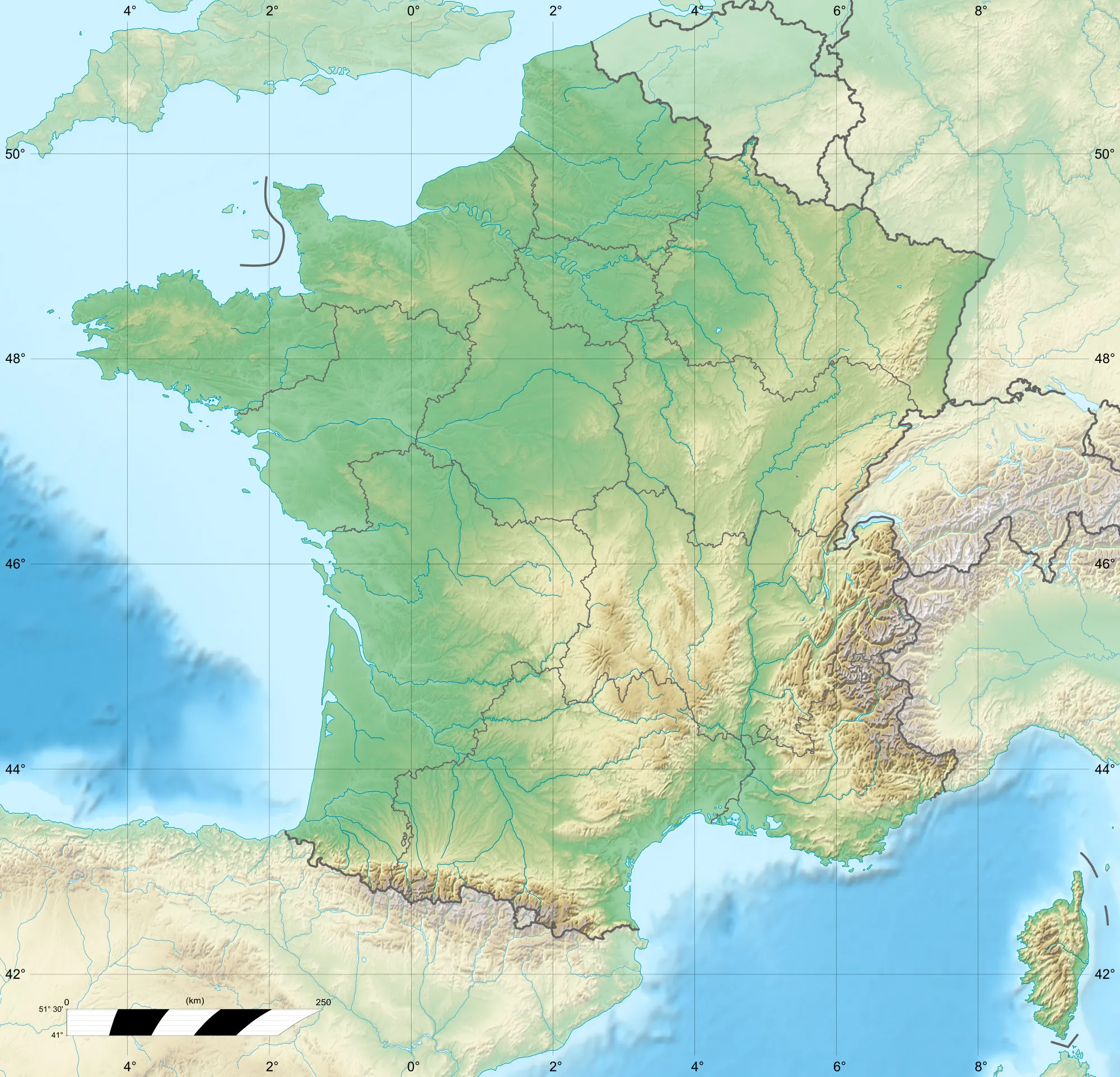
A gravel cycling route starting from Saint-Martin-la-Plaine
A thrilling gravel route with panoramic views and remote landscapes
![Map miniature of "The Table d'Orientation Gravel Adventure" cycling inspiration in Rhône-Alpes, France. Generated by Tarmacs.app cycling route planner](https://images.tarmacs.app/cycling-routes/routemaps/600/france/rhone-alpes/saint-martin-la-plaine/gravel/14896.webp)
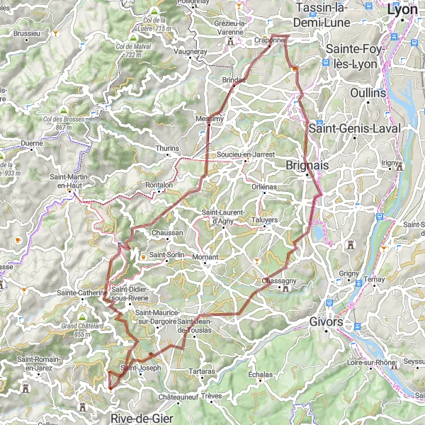
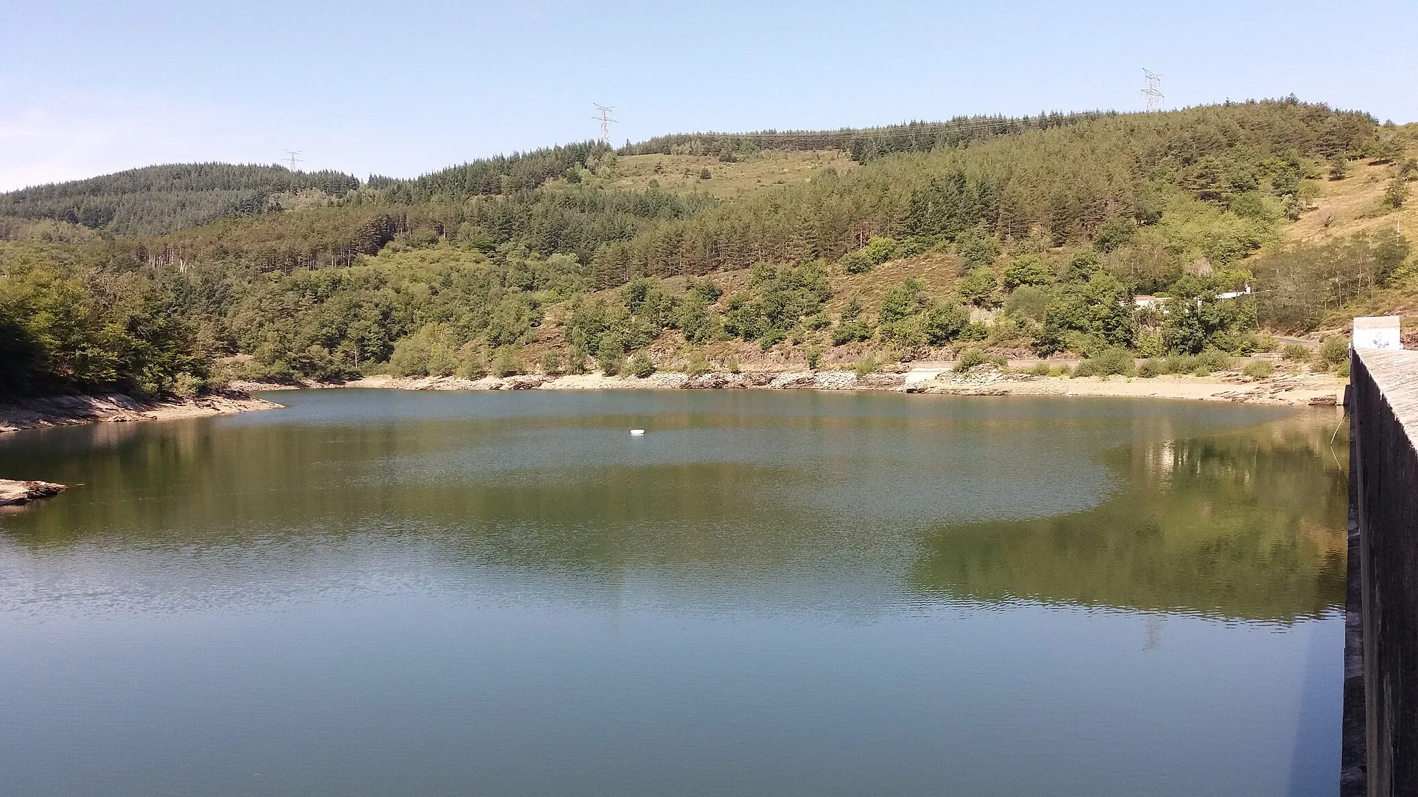
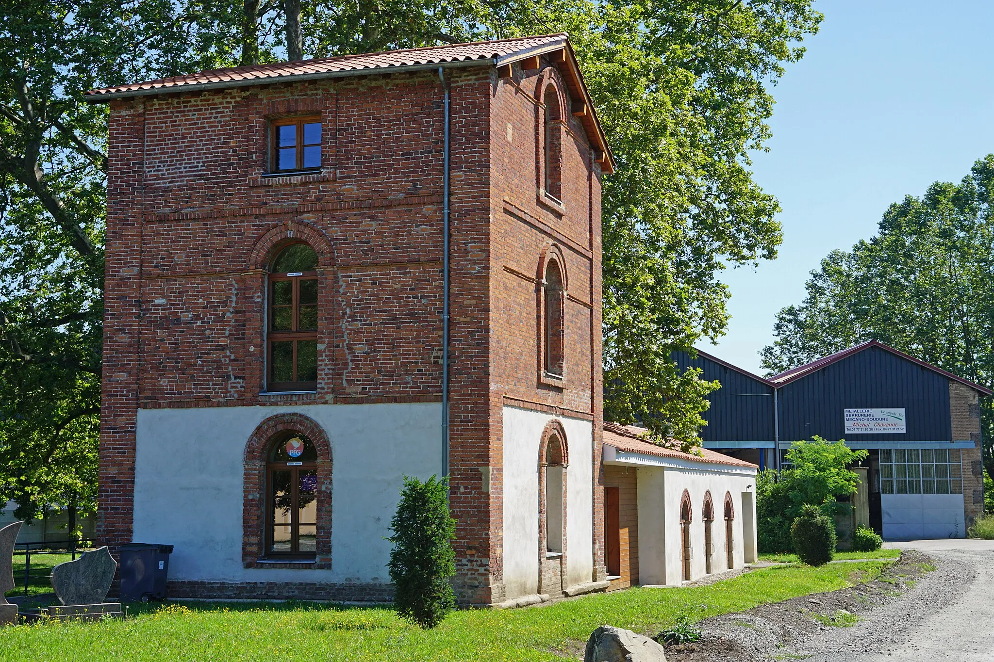
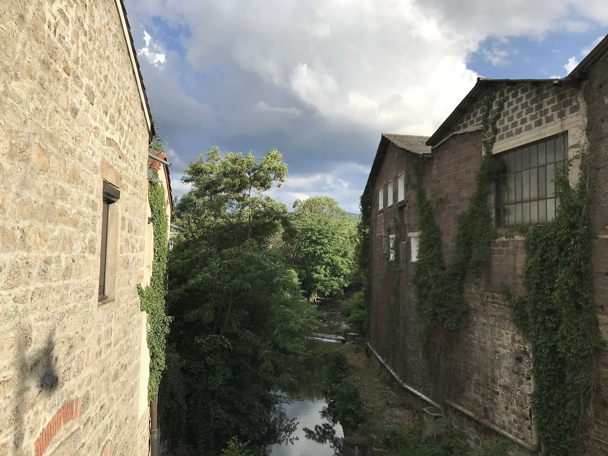
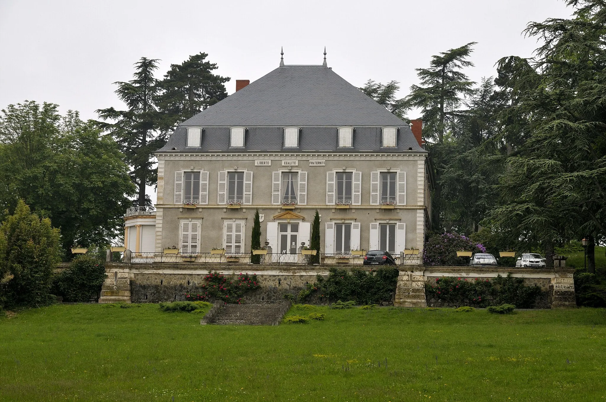
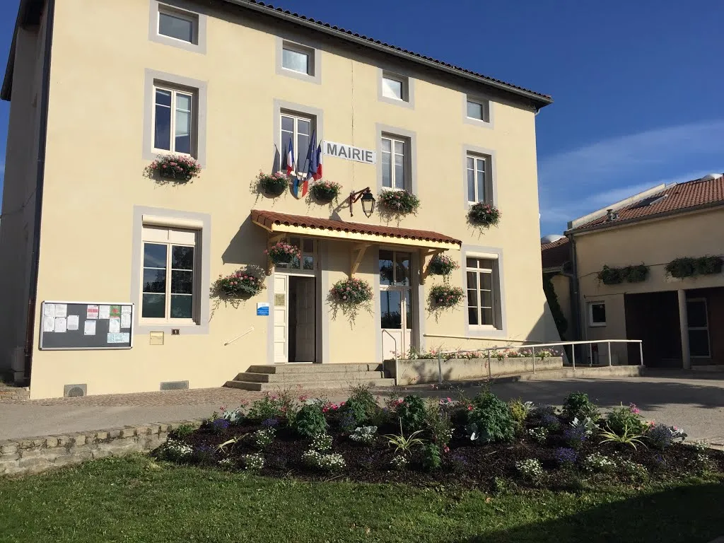
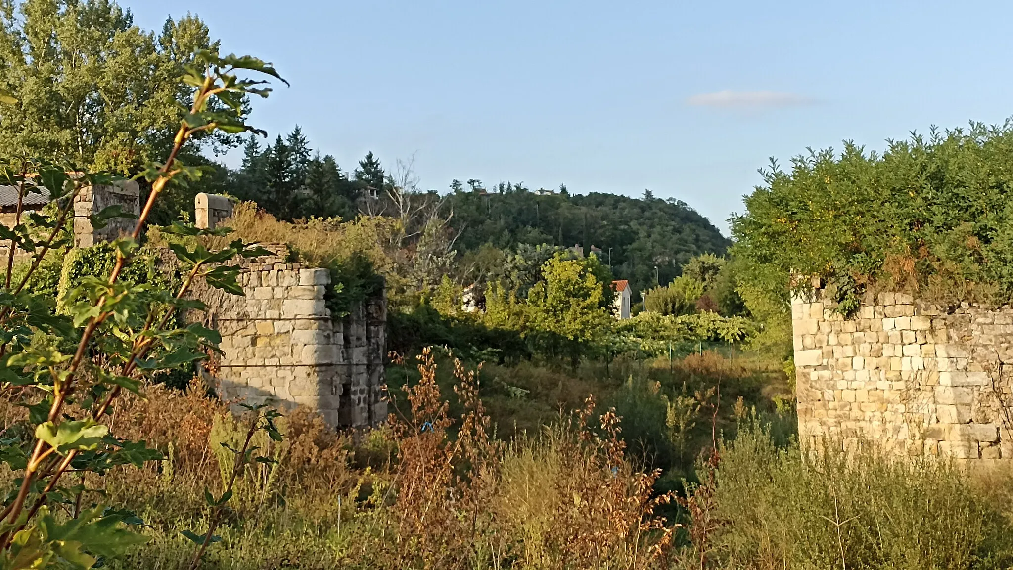
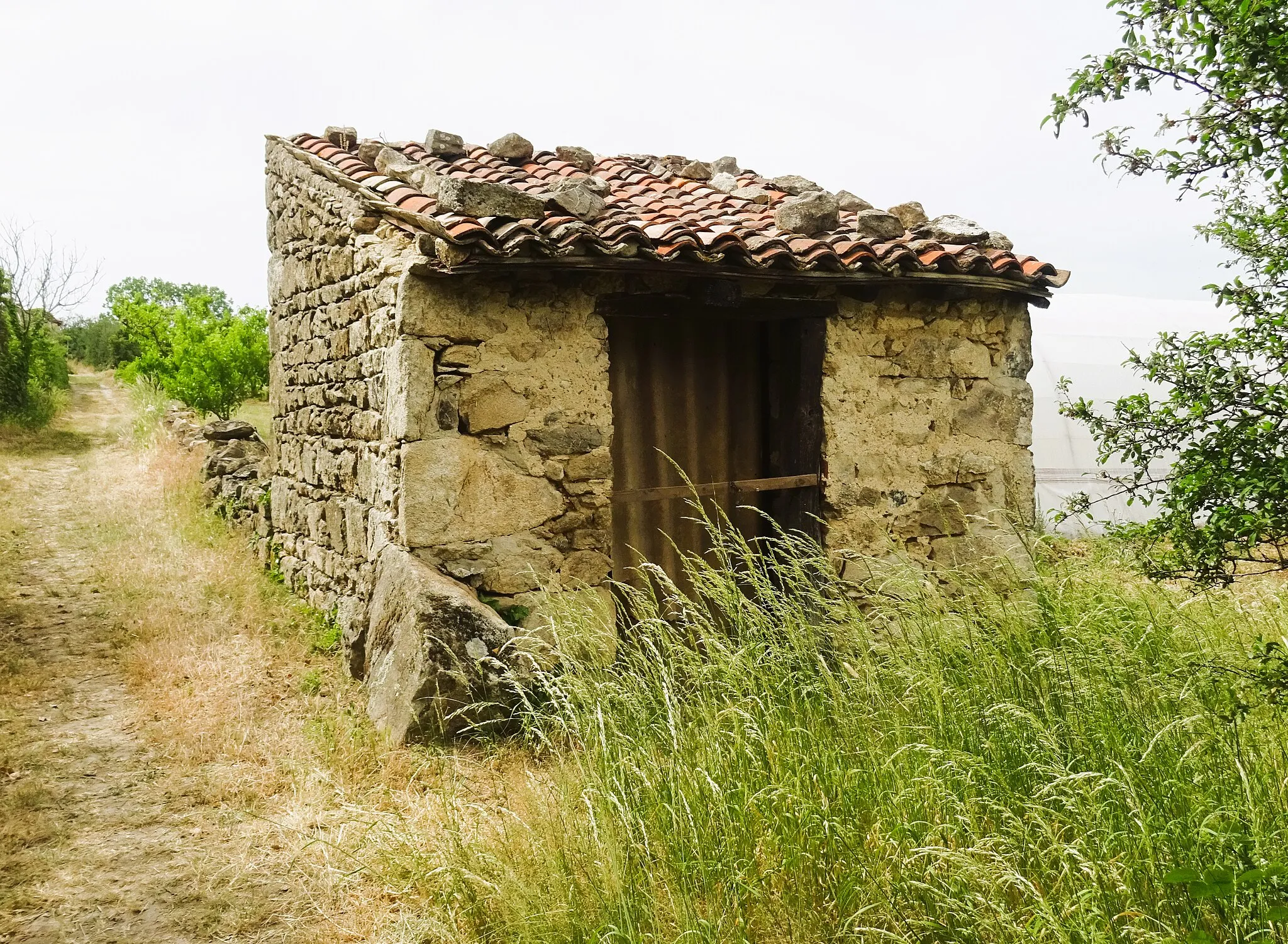
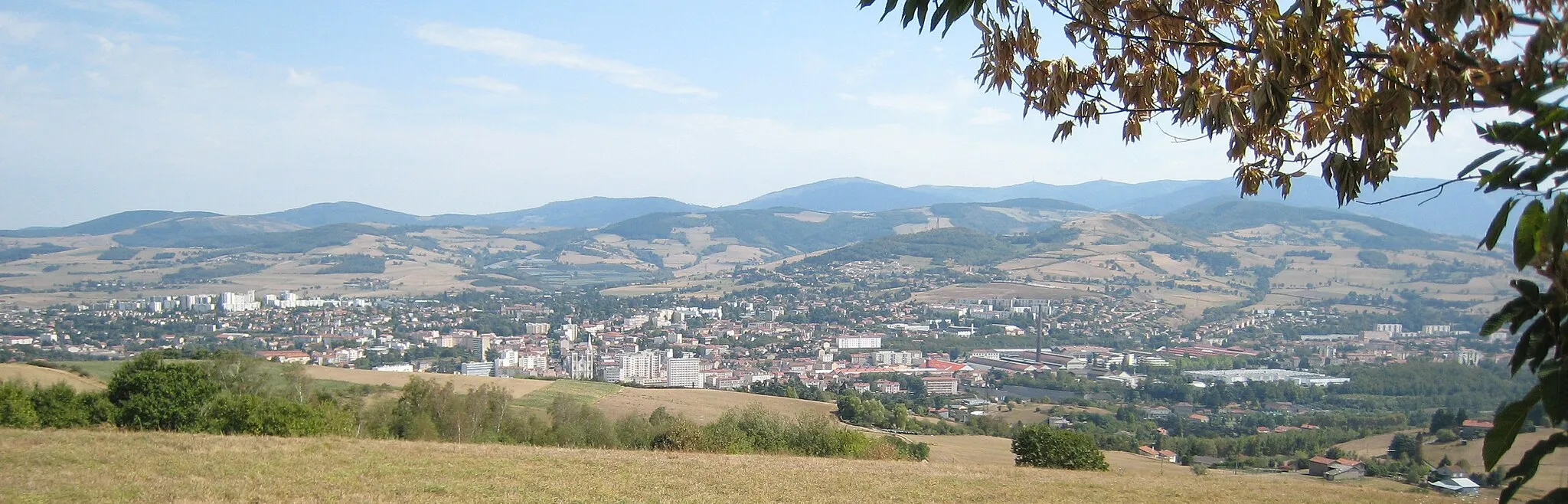
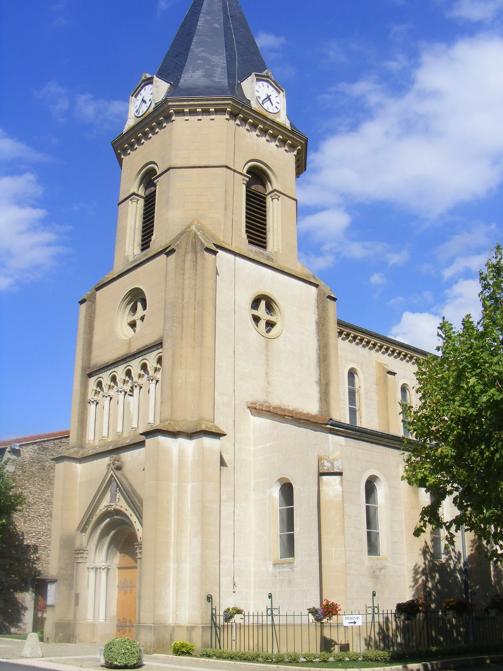
Embark on a thrilling adventure through remote gravel roads with the Table d'Orientation Gravel Adventure. Offering scenic beauty and challenging terrain, this route is a favorite among experienced gravel cyclists. With a total ascent of 1,359 meters and a distance of 70 kilometers, riders can expect a challenging but rewarding experience. Highlights along the way include the Table d'Orientation, located 9 kilometers into the route, which offers panoramic views of the surrounding countryside. At 12 kilometers into the route, cyclists will encounter Saint-André-la-Côte, a picturesque village known for its tranquil atmosphere and breathtaking views. Crêt du Bouchat awaits riders at 19 kilometers into the route, boasting challenging turns and splendid vistas. For a taste of local culture, Chassagny, located at 54 kilometers into the route, offers charming streets and stunning landscapes. Overall, the Table d'Orientation Gravel Adventure promises an unforgettable cycling experience filled with adrenaline-inducing moments and awe-inspiring scenery.
Highlights on the route
Cycling routes from Saint-Martin-la-Plaine:
Cycling routes nearby:
![Image of Saint-Joseph](https://images.tarmacs.app/cycling-routes/covers/france/rhone-alpes/saint-joseph-3.webp)
![Image of Rive-de-Gier](https://images.tarmacs.app/cycling-routes/covers/france/rhone-alpes/rive-de-gier-5.webp)
![Image of Lorette](https://images.tarmacs.app/cycling-routes/covers/france/rhone-alpes/lorette-4.webp)
![Image of Saint-Maurice-sur-Dargoire](https://images.tarmacs.app/cycling-routes/covers/france/rhone-alpes/saint-maurice-sur-dargoire-4.webp)
![Image of Cellieu](https://images.tarmacs.app/cycling-routes/covers/france/rhone-alpes/cellieu-5.webp)
![Image of La Grand-Croix](https://images.tarmacs.app/cycling-routes/covers/france/rhone-alpes/la-grand-croix-5.webp)
![Image of Saint-Paul-en-Jarez](https://images.tarmacs.app/cycling-routes/covers/france/rhone-alpes/saint-paul-en-jarez-5.webp)
![Image of Mornant](https://images.tarmacs.app/cycling-routes/covers/france/rhone-alpes/mornant-5.webp)
![Image of Saint-Chamond](https://images.tarmacs.app/cycling-routes/covers/france/rhone-alpes/saint-chamond-5.webp)