Croix de Joanziecq Challenge
A gravel cycling route starting from Sury-le-Comtal
Take on the challenging ascent of Col de la Croix de Joanziecq on this gravel route.
Map
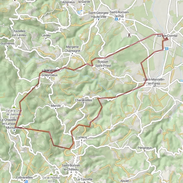
This gravel route promises a mix of challenging ascents and beautiful landscapes, leading you to the renowned Col de la Croix de Joanziecq. With a difficulty rating of 3, it is recommended for well-trained amateur cyclists seeking a thrilling cycling experience. The epicness rating is 3, ensuring an enjoyable and memorable ride.
gravel
48 km
1031 m
Tough
Route profile
Highlights on the route
0 km
0 km
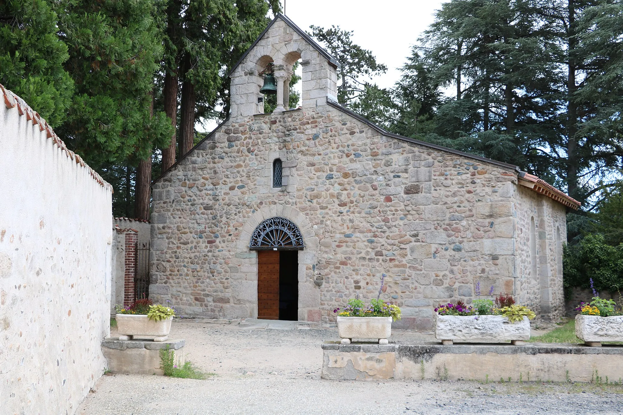
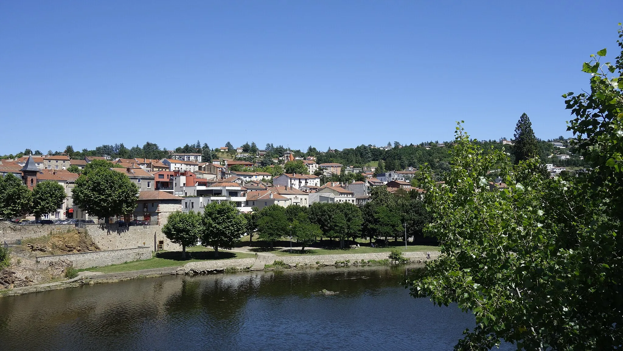
Start: Sury-le-Comtal Village centerSury-le-Comtal: Road Cycling and Climbing in the Stunning Monts du Forez
Sury-le-Comtal is a locality in the Rhône-Alpes region of France. As a road and gravel cyclist, Sury-le-Comtal offers diverse terrains ranging from rolling hills to challenging climbs. The region is well-known for its proximity to the Monts du Forez mountain range, which provides cyclists with breathtaking views and thrilling ascents. Nearby, there are also several popular cycling routes including the Route des Crêtes and the Loire-Mont-Pilat route. With its mix of challenging climbs and scenic landscapes, Sury-le-Comtal is a great destination for cyclists looking to test their abilities and enjoy the beauty of the Rhône-Alpes region.26 km
26 km
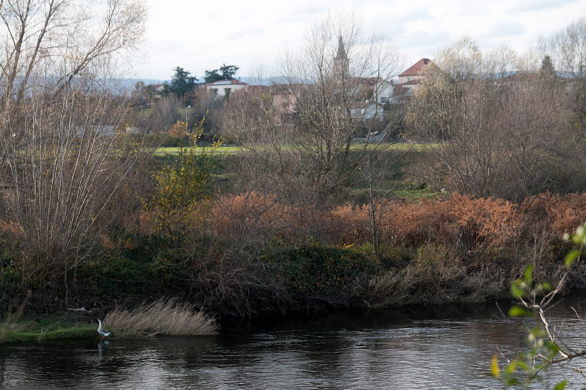
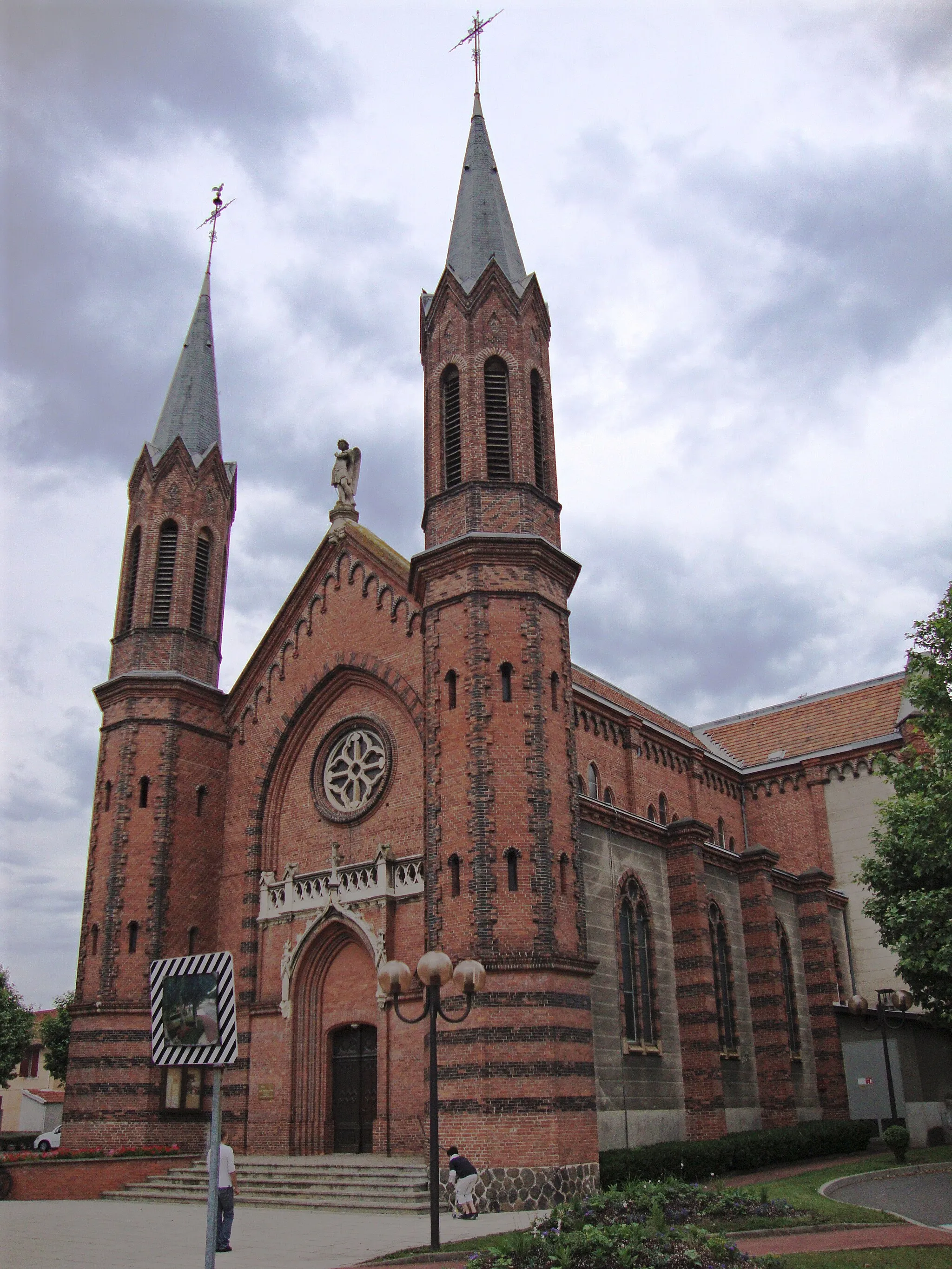
La Chapelle-en-LafayeVillageAt the 26 km mark, La Chapelle-en-Lafaye will captivate with its ancient church and panoramic views of the surrounding valleys.
28 km
28 km
Col de la Croix de Joanziecq1145 mMountain PassLocated at the 28 km point, Col de la Croix de Joanziecq is a challenging climb offering stunning vistas at the top and a sense of achievement.
34 km
34 km
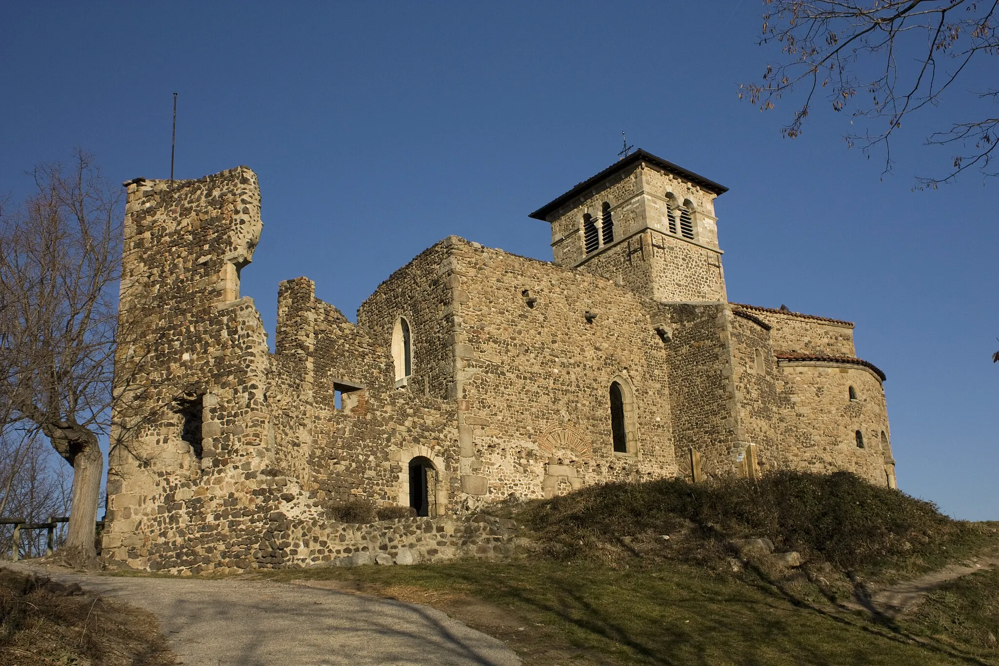
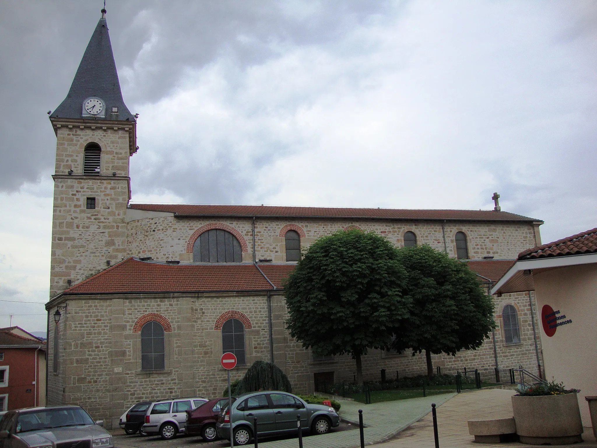
Saint-Jean-SoleymieuxVillageSaint-Jean-Soleymieux, found at the 34 km mark, welcomes visitors with its beautifully preserved old town and the enchanting Château de Bajay.
40 km
40 km
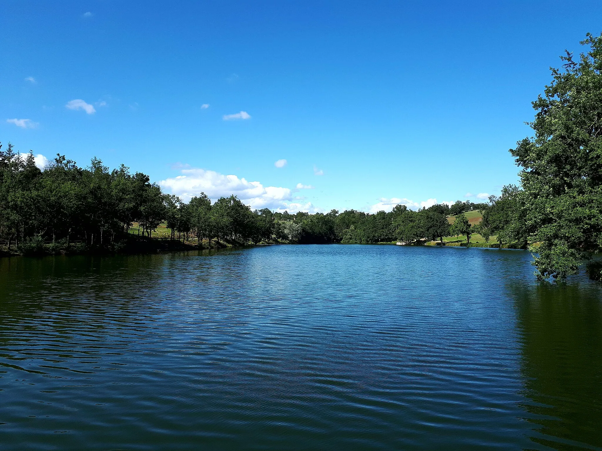
Boisset-Saint-PriestVillageBoisset-Saint-Priest, at the 40 km point, offers a delightful ambiance with its traditional stone houses and panoramic vistas from the church square.
48 km
48 km
Sury-le-ComtalVillageSury-le-Comtal marks the start and finish of the route, and its picturesque landscapes and historic monastery make it a worthwhile place to visit.
48 km
48 km
Finish: Sury-le-Comtal Village centerSury-le-Comtal: Road Cycling and Climbing in the Stunning Monts du Forez
Cycling routes from Sury-le-Comtal:
Cycling routes nearby: