Sury-le-Comtal Gravel Ride
A gravel cycling route starting from Sury-le-Comtal
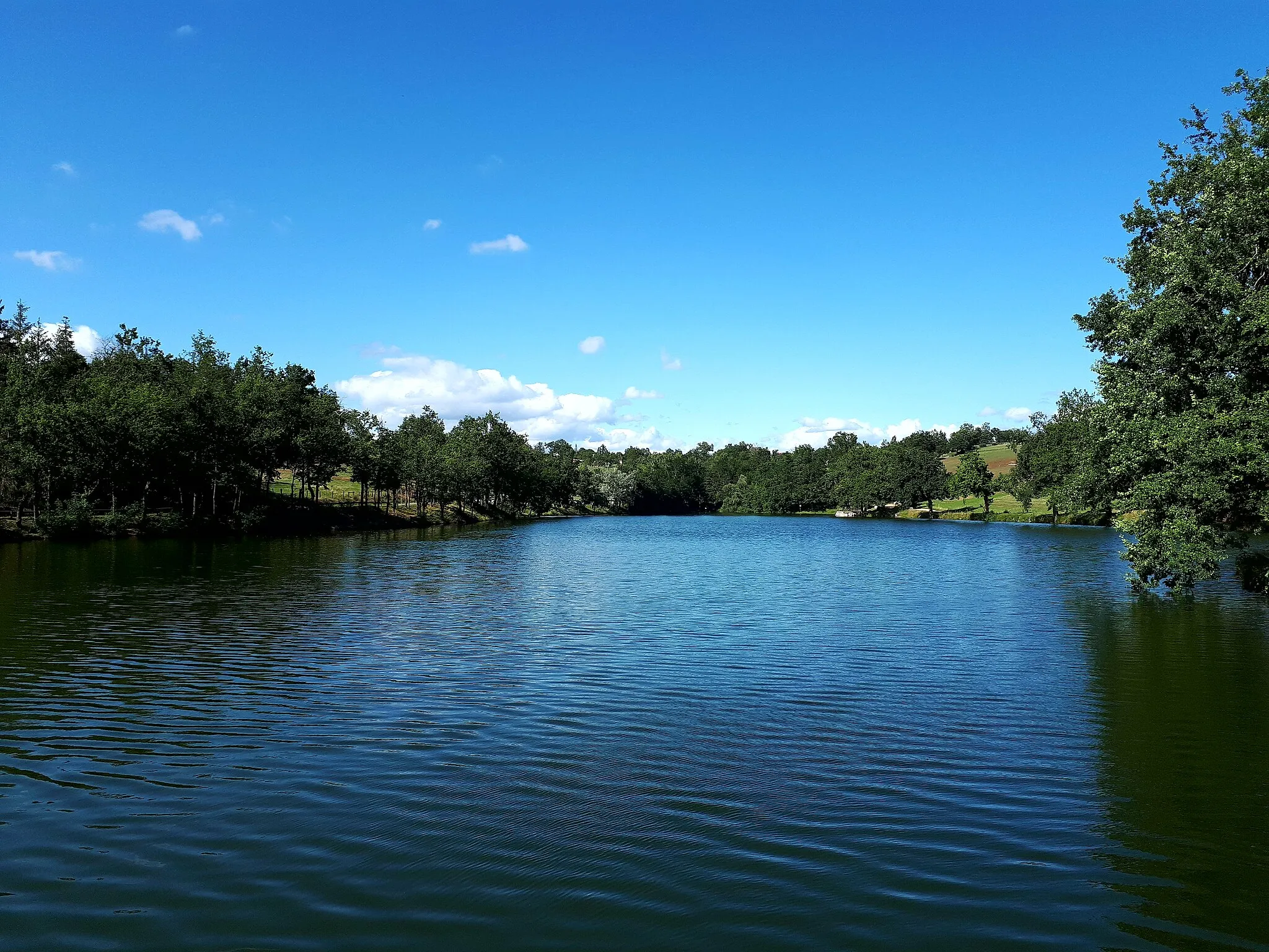
Explore the rural surroundings and vineyards around Sury-le-Comtal on this challenging gravel ride.
Map
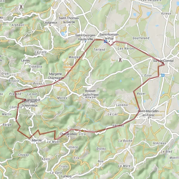
This gravel route takes you through picturesque countryside and stunning vineyards near Sury-le-Comtal. With a moderate difficulty level and scenic highlights along the way, it's a great choice for experienced gravel riders looking for a fun challenge. The route includes a total ascent of 746 meters and covers a distance of 41 kilometers.
gravel
41 km
746 m
Tough
Route profile
Highlights on the route
0 km
0 km
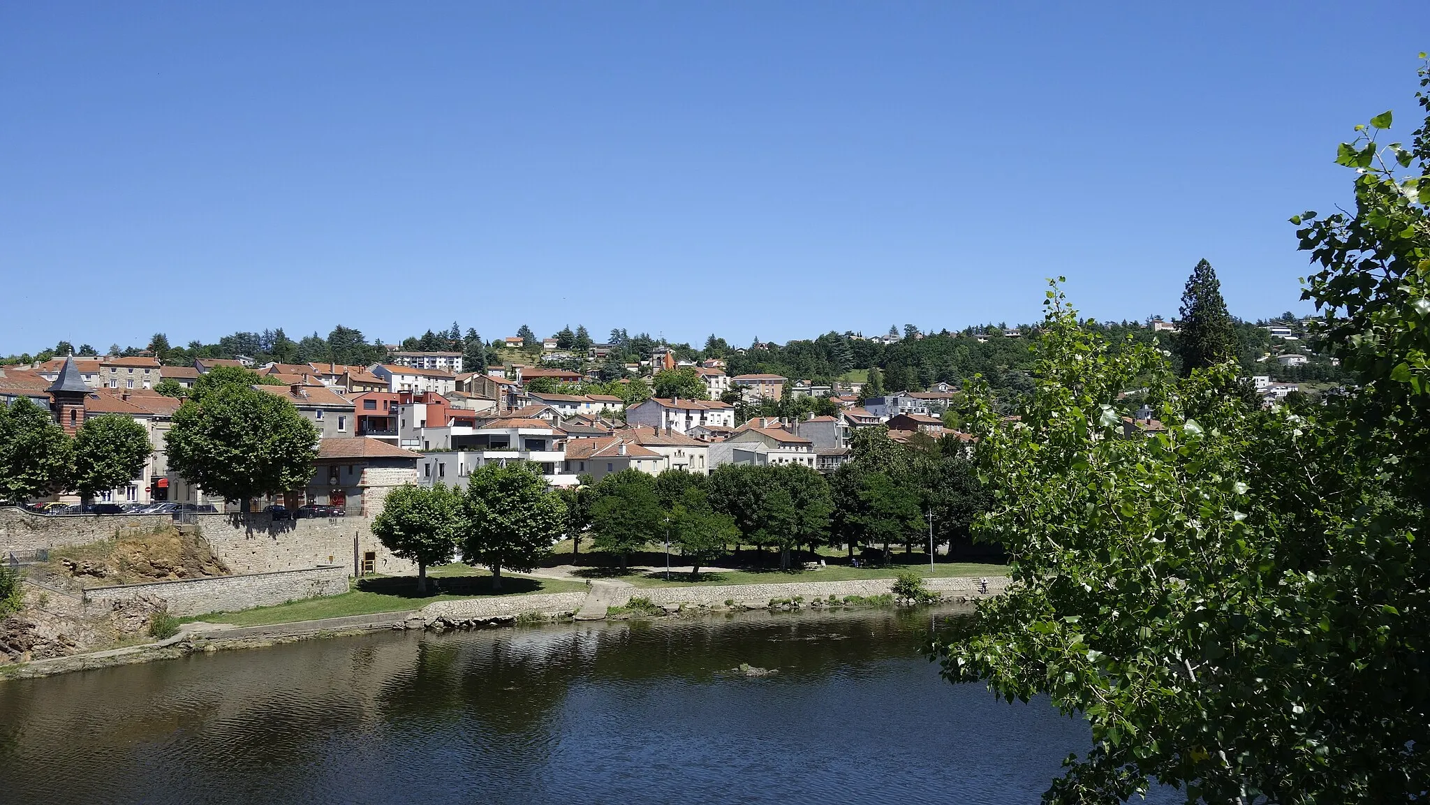
Start: Sury-le-Comtal Village centerSury-le-Comtal: Road Cycling and Climbing in the Stunning Monts du Forez
Sury-le-Comtal is a locality in the Rhône-Alpes region of France. As a road and gravel cyclist, Sury-le-Comtal offers diverse terrains ranging from rolling hills to challenging climbs. The region is well-known for its proximity to the Monts du Forez mountain range, which provides cyclists with breathtaking views and thrilling ascents. Nearby, there are also several popular cycling routes including the Route des Crêtes and the Loire-Mont-Pilat route. With its mix of challenging climbs and scenic landscapes, Sury-le-Comtal is a great destination for cyclists looking to test their abilities and enjoy the beauty of the Rhône-Alpes region.13 km
13 km
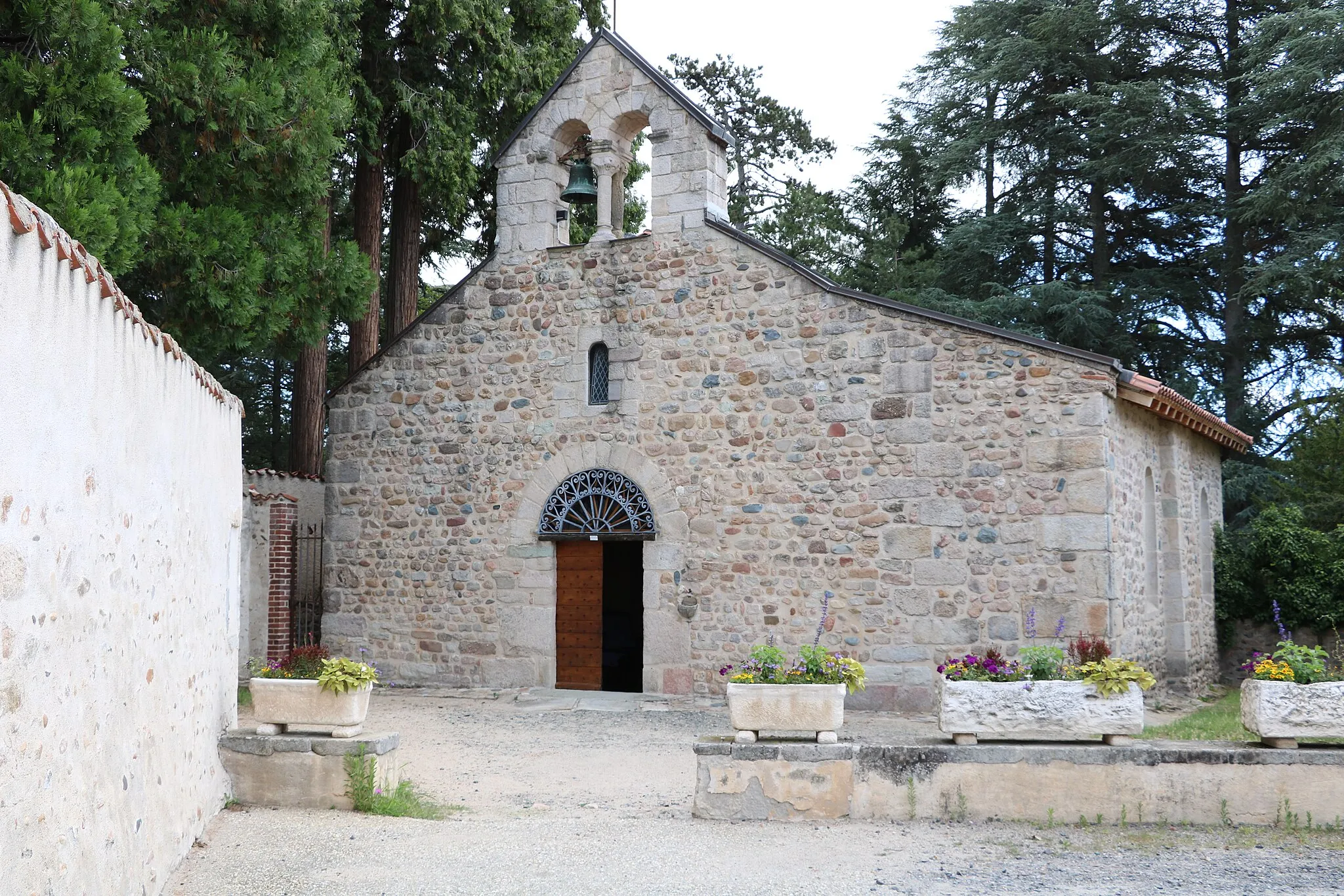
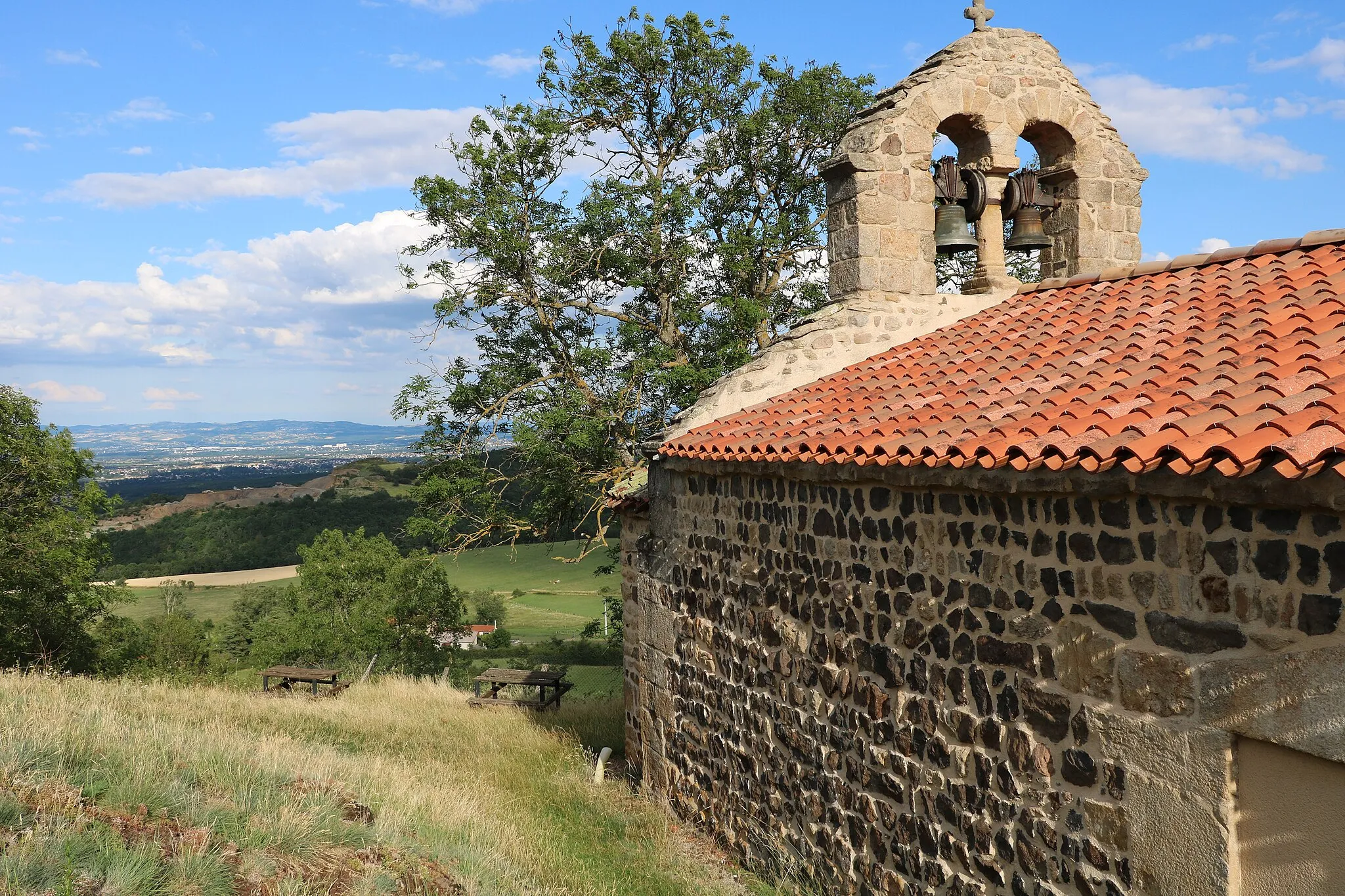
ChenereillesVillageVisit Chenereilles, a charming village known for its historic buildings and beautiful views.
33 km
33 km
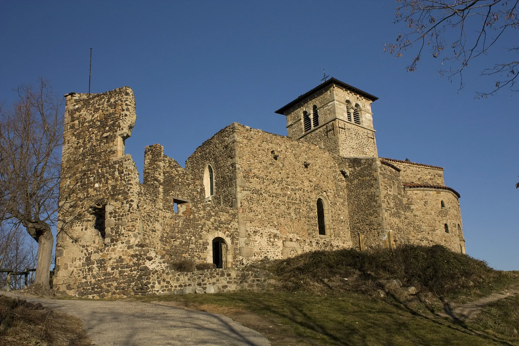
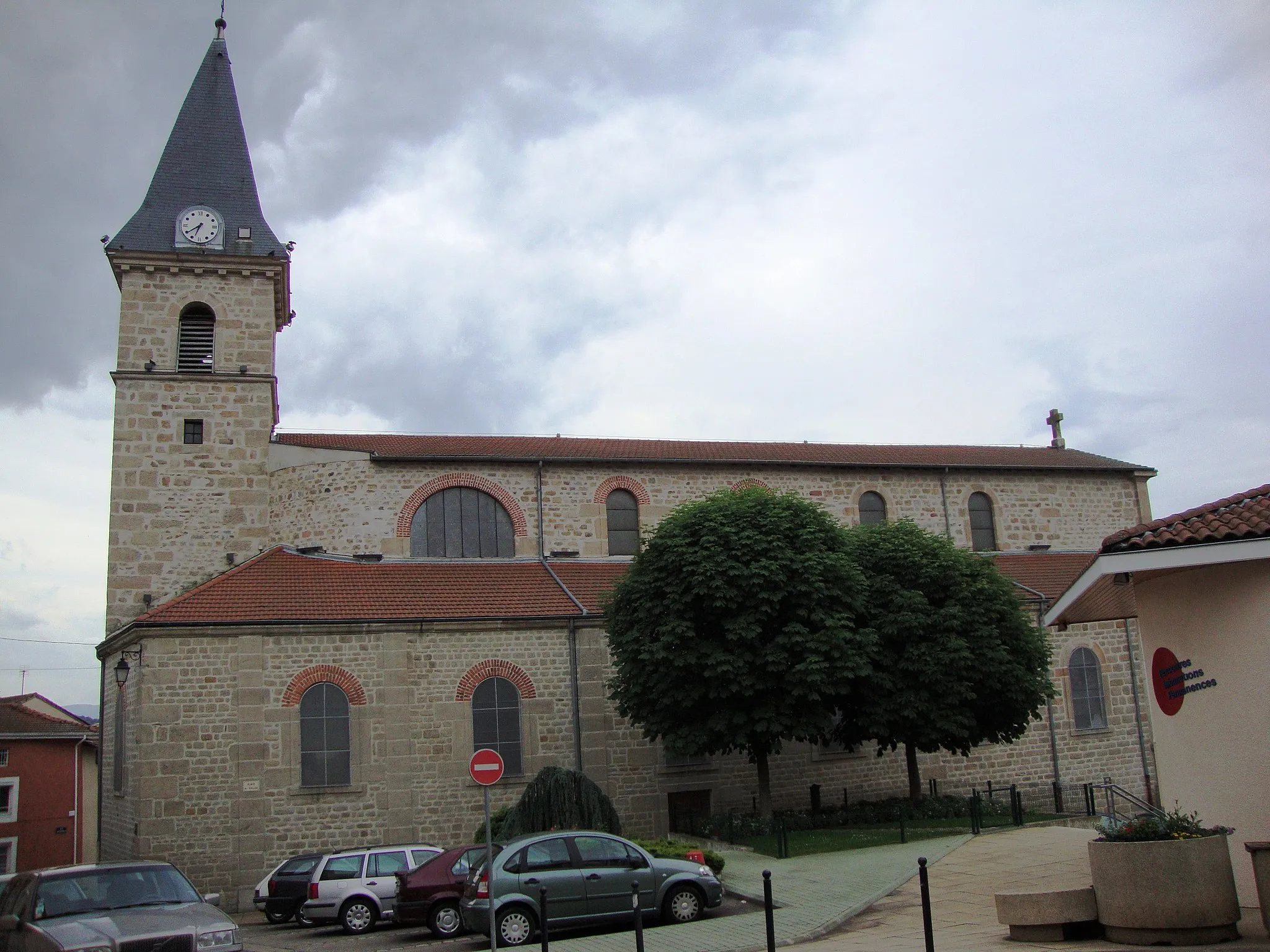
Saint-Georges-Haute-VilleVillageExplore the small town of Saint-Georges-Haute-Ville and its medieval architecture.
41 km
41 km
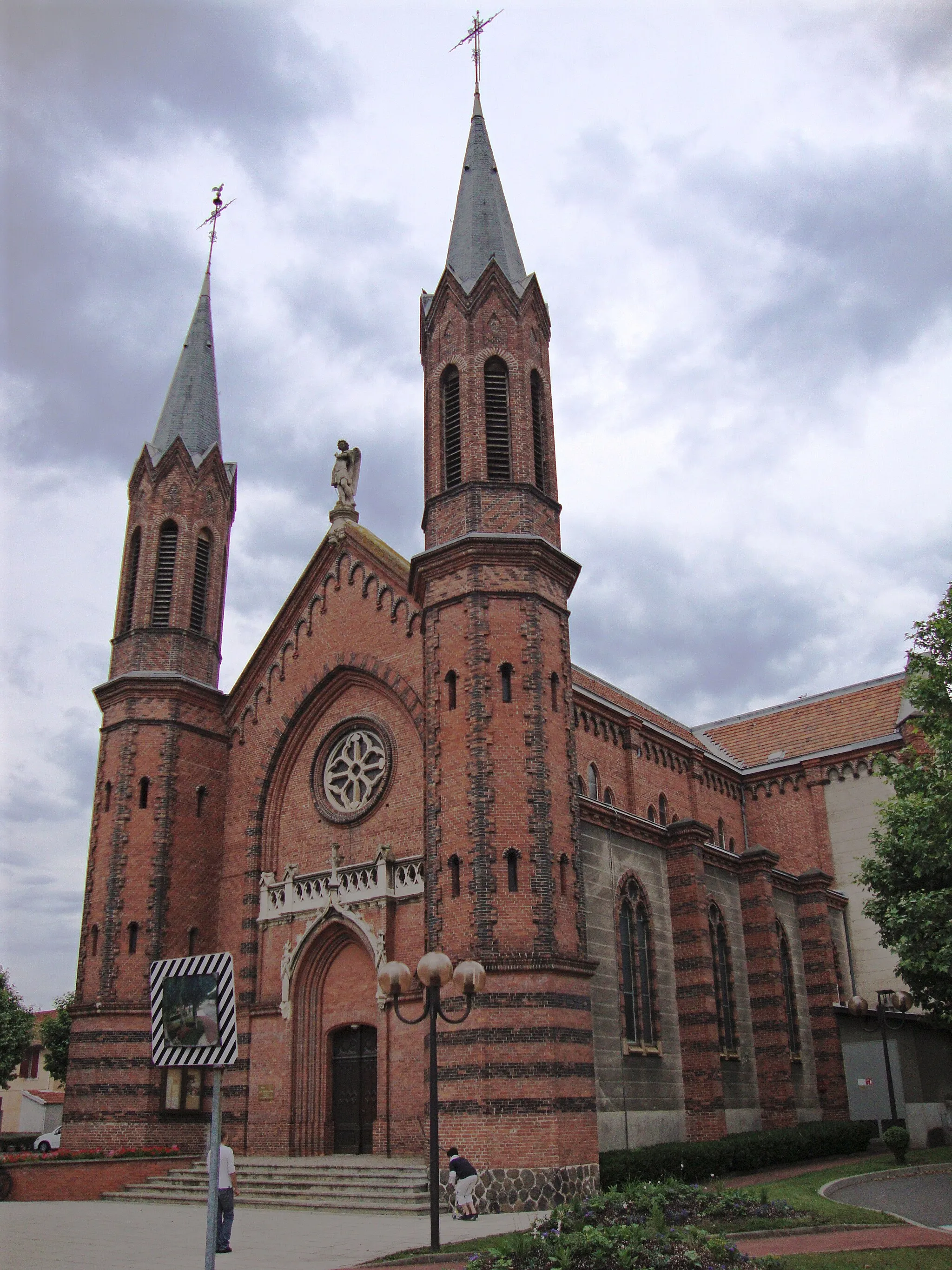
Château de Sury-le-ComtalCastleDon't miss the magnificent Château de Sury-le-Comtal, a historic castle with stunning gardens.
41 km
41 km
Finish: Sury-le-Comtal Village centerSury-le-Comtal: Road Cycling and Climbing in the Stunning Monts du Forez
Cycling routes from Sury-le-Comtal:
Cycling routes nearby: