Panissières Adventure
A road cycling route starting from Sury-le-Comtal
Embark on a road cycling adventure through quaint villages and challenging climbs.
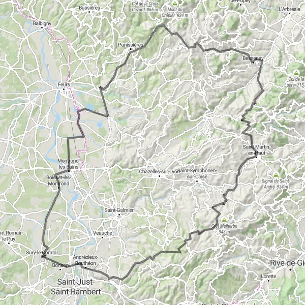
Map
If you are craving a challenging road cycling experience, this is the perfect route for you. With steep ascents and incredible panoramic views, it offers an immersive journey through the stunning countryside. The difficulty level for this route is high, suitable for well-trained amateur cyclists seeking a thrilling challenge. The epicness rating is 5 as it encompasses legendary climbs and famous cycling spots. Don't miss the charm of Sury-le-Comtal, an idyllic village nestled amidst the breathtaking landscapes.
road
138 km
2017 m
Savage
Route profile
Highlights on the route
0 km
0 km
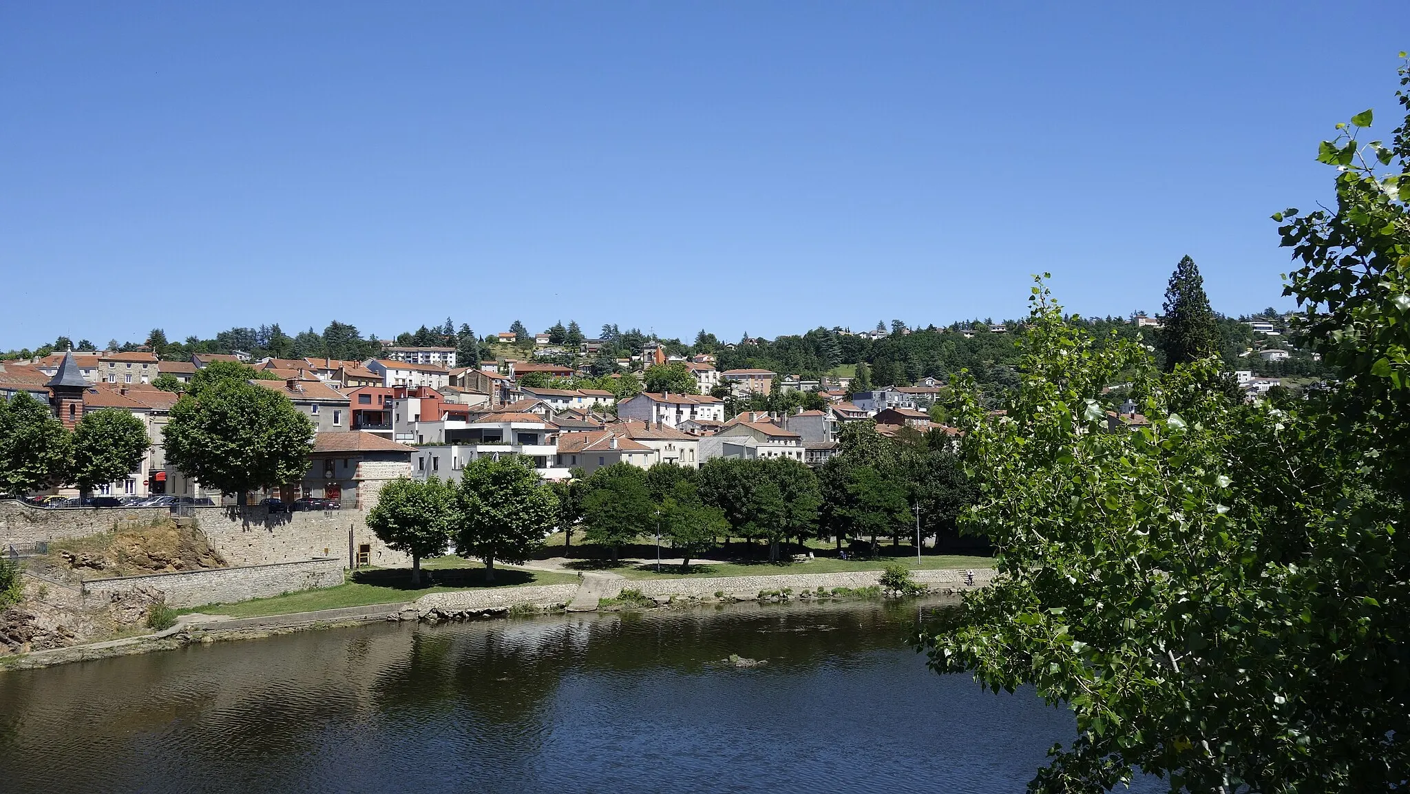
Start: Sury-le-Comtal Village centerSury-le-Comtal: Road Cycling and Climbing in the Stunning Monts du Forez
Sury-le-Comtal is a locality in the Rhône-Alpes region of France. As a road and gravel cyclist, Sury-le-Comtal offers diverse terrains ranging from rolling hills to challenging climbs. The region is well-known for its proximity to the Monts du Forez mountain range, which provides cyclists with breathtaking views and thrilling ascents. Nearby, there are also several popular cycling routes including the Route des Crêtes and the Loire-Mont-Pilat route. With its mix of challenging climbs and scenic landscapes, Sury-le-Comtal is a great destination for cyclists looking to test their abilities and enjoy the beauty of the Rhône-Alpes region.11 km
11 km
Boisset-lès-MontrondVillageAt the 11 km mark, Boisset-lès-Montrond captivates with its historical architecture and the majestic Château de Montrond.
30 km
30 km
ValeilleVillageValeille is a lovely village located at the 30 km mark, offering a peaceful escape and panoramic views of the surrounding countryside.
42 km
42 km
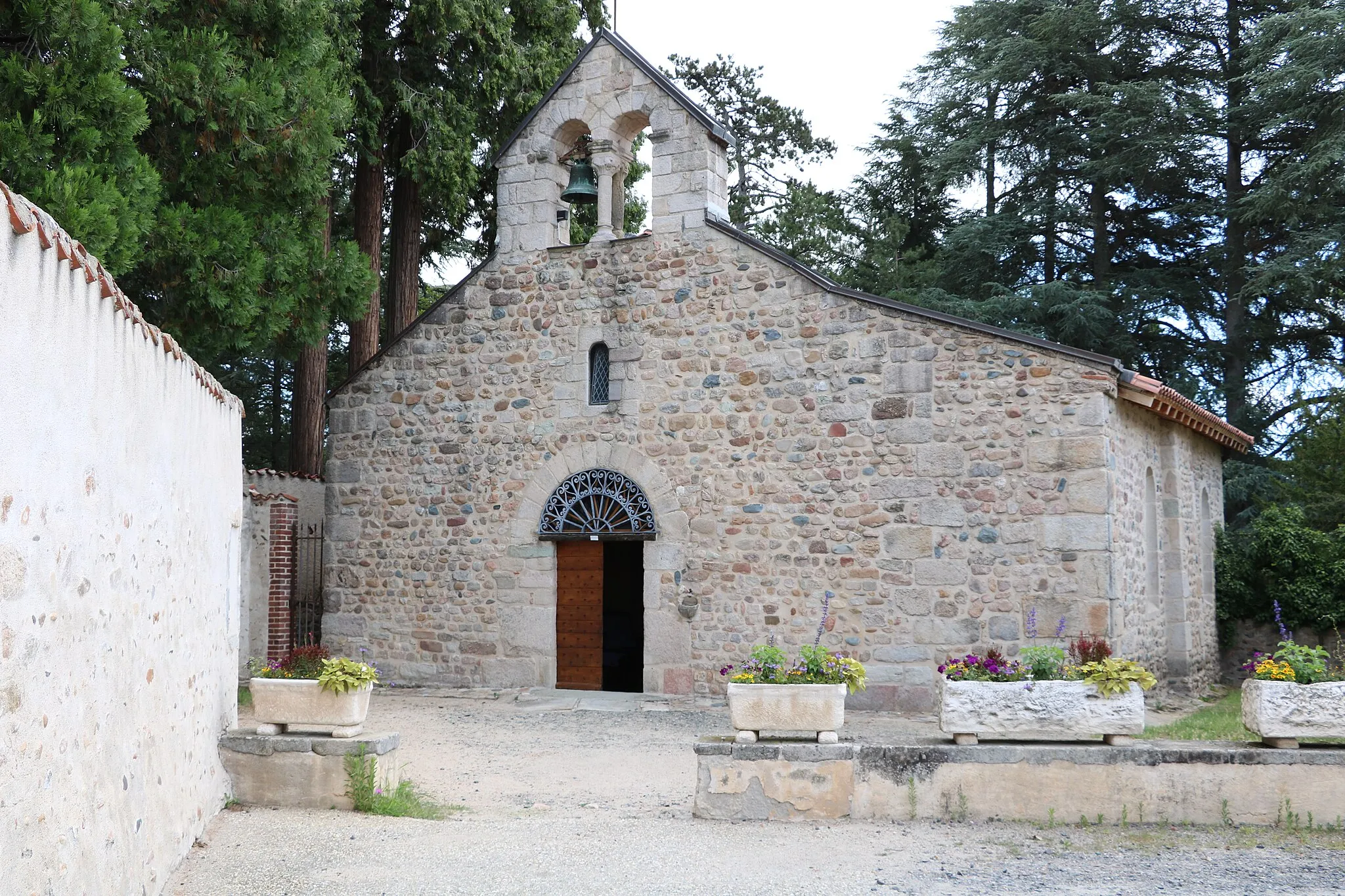
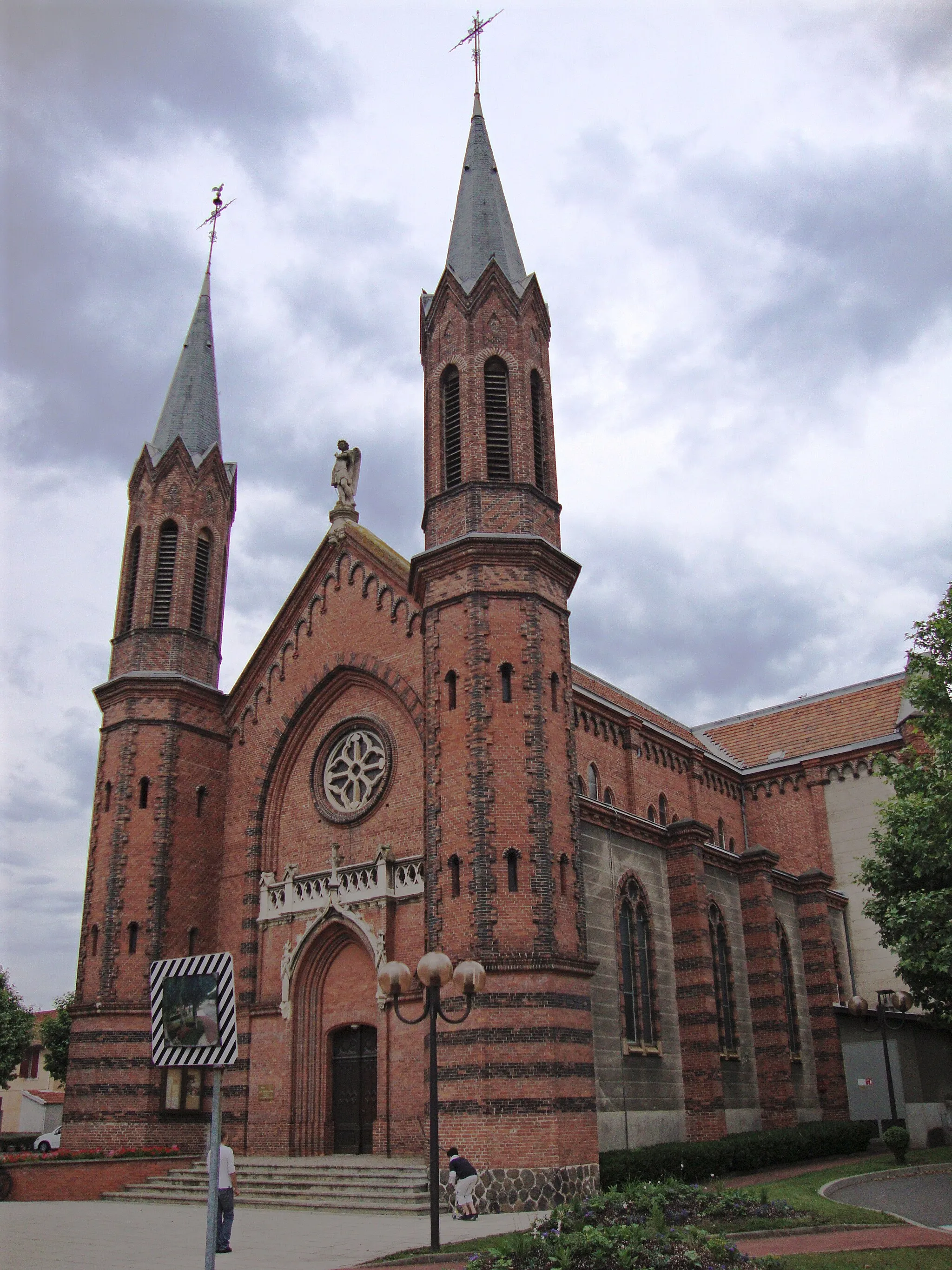
PanissièresVillagePanissières, at 42 km into the route, is a charming village well-known for its vibrant Monday market and intriguing history.
57 km
57 km
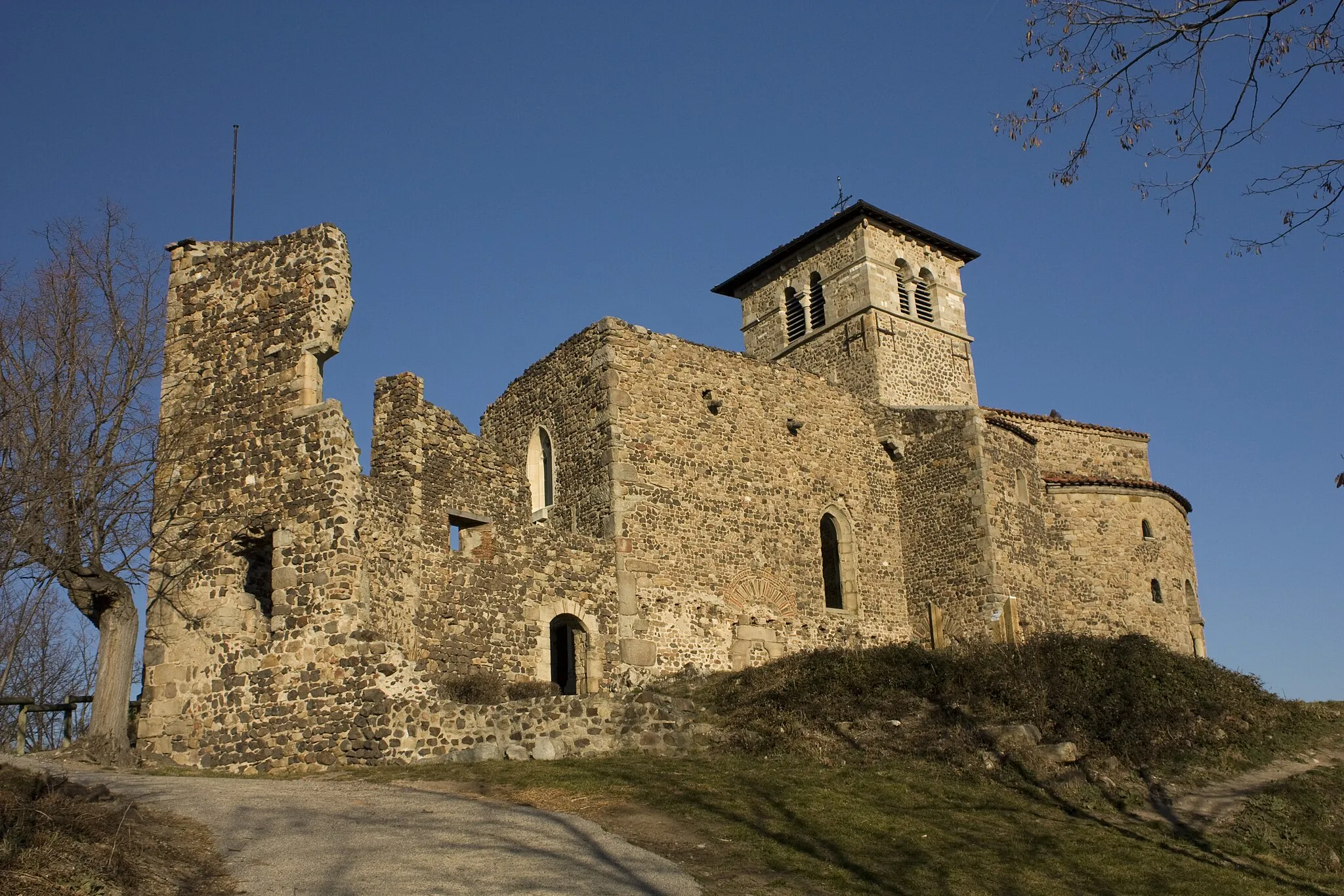
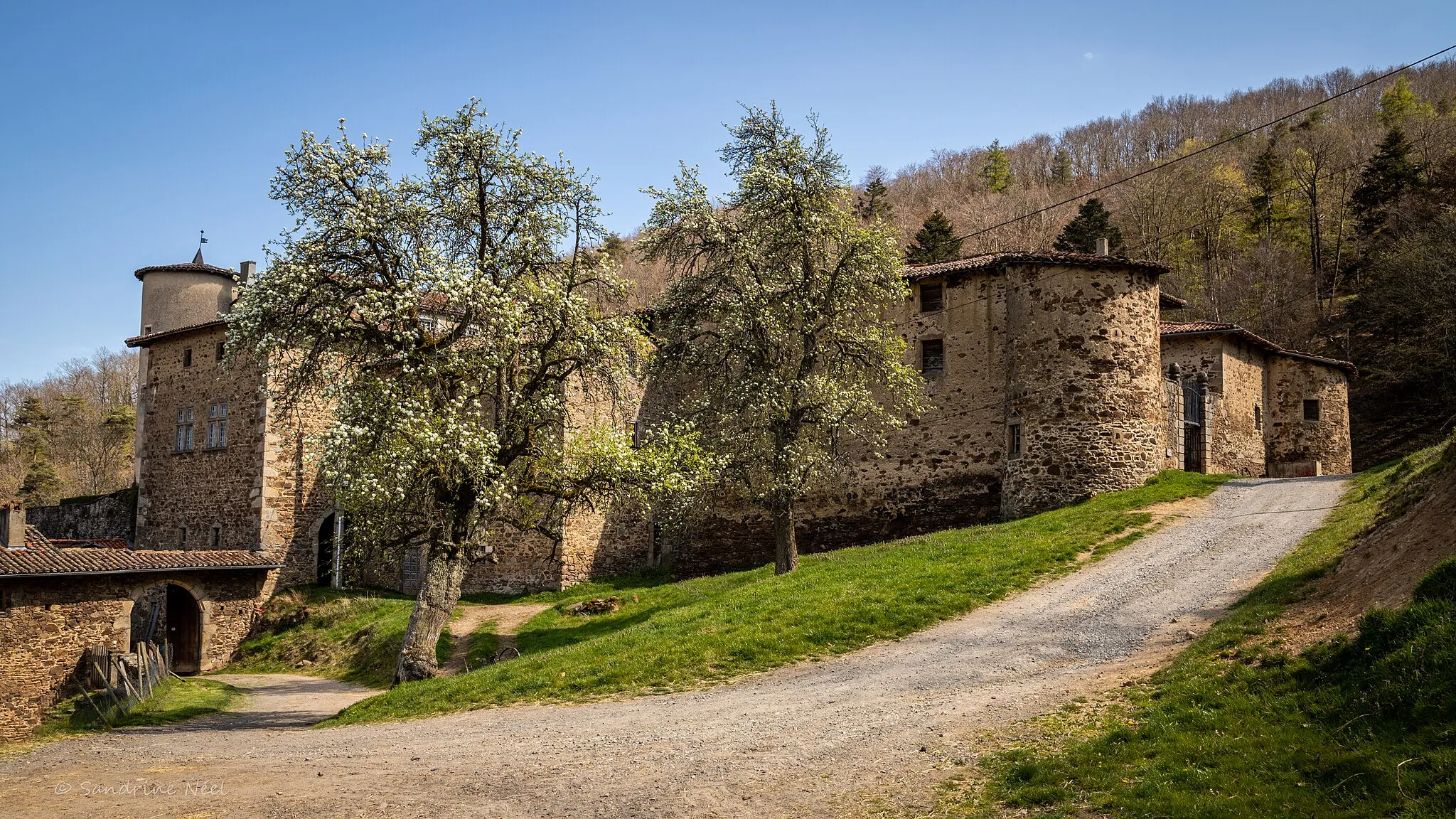
MontrottierVillageThe 57 km marker brings you to Montrottier, a picturesque village dominated by its medieval château and enchanting cobblestone streets.
66 km
66 km
BessenayVillageBessenay, located at the 66 km point, offers a charming setting with delightful cafes, a beautiful church, and colorful facades.
81 km
81 km
Col des Brosses867 mMountain PassCol des Brosses, at 81 km into the route, is a renowned climb among cycling enthusiasts, offering breathtaking views at the summit.
88 km
88 km
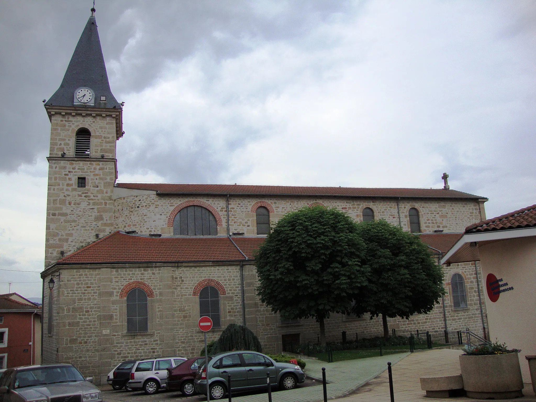
Saint-Martin-en-HautVillageSaint-Martin-en-Haut, found at the 88 km mark, invites visitors with its historic pedestrian streets, picturesque square, and ancient abbey ruins.
112 km
112 km
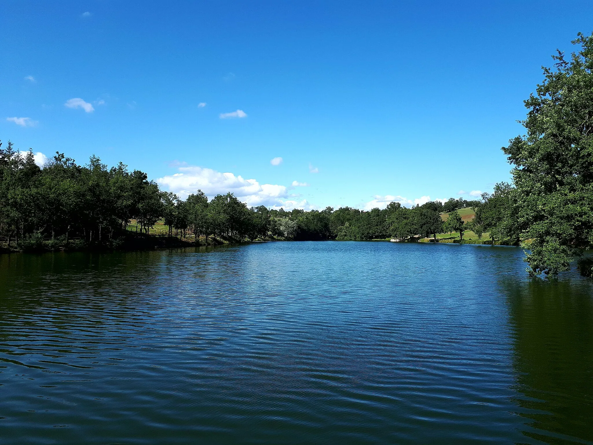
FontanèsVillageFontanès, at the 112 km mark, is a peaceful village surrounded by vineyards and known for its charming stone houses.
125 km
125 km
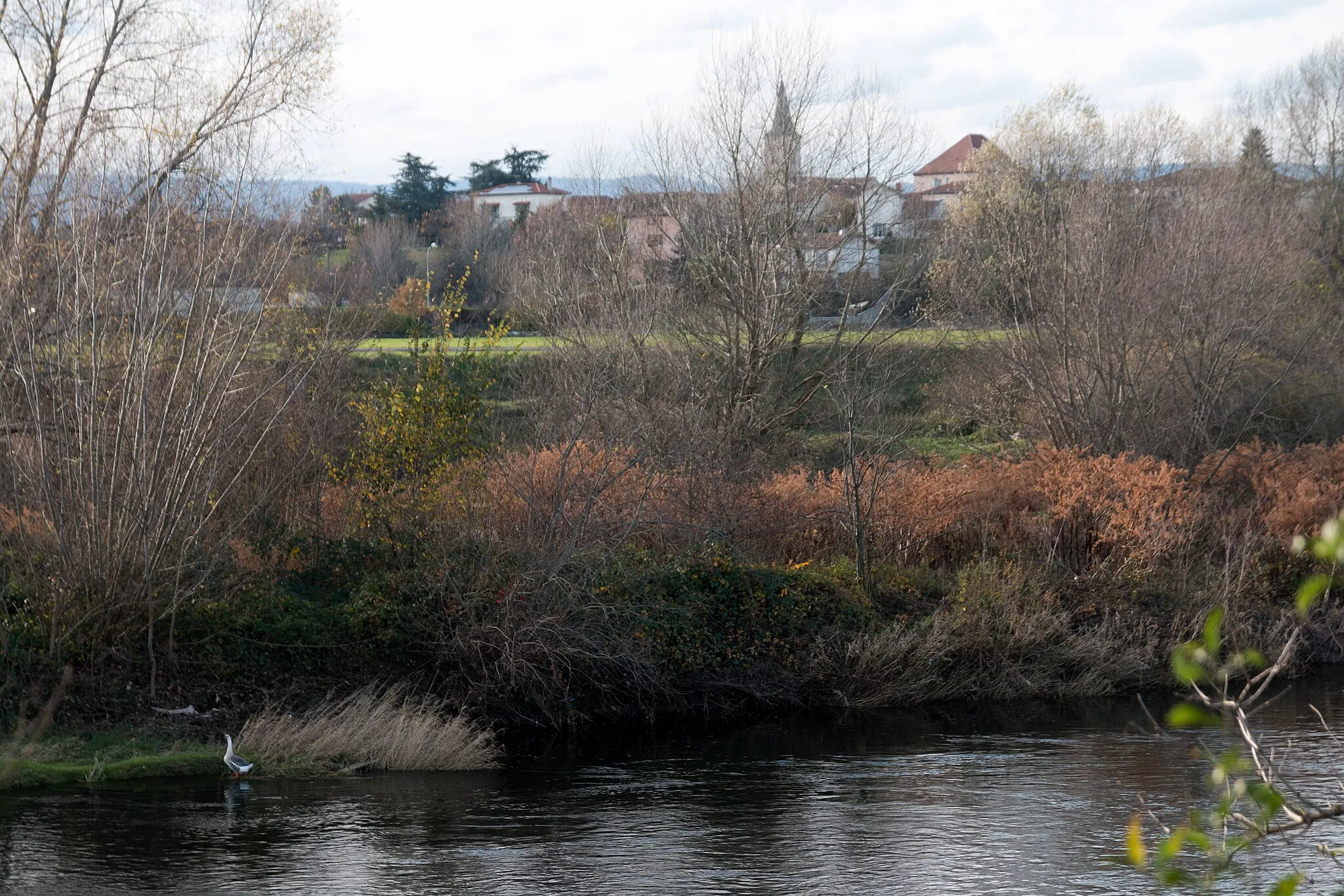
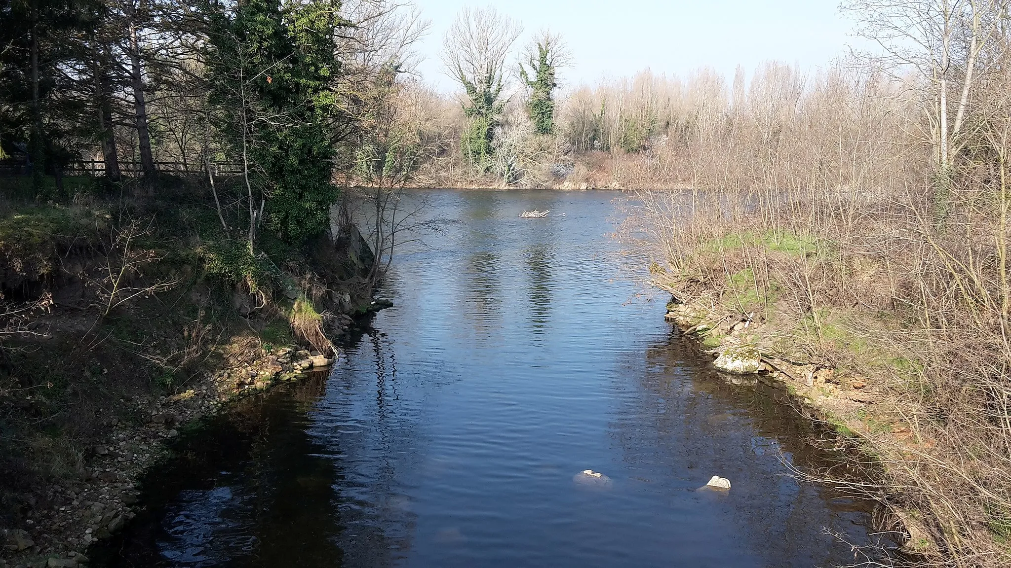
La FouillouseVillageLa Fouillouse, located at the 125 km marker, captivates with its medieval architecture, narrow winding streets, and the enchanting Ruolz River running through.
134 km
134 km
BonsonVillageStarting and ending point of the route, Sury-le-Comtal is a delightful village offering a mix of historical attractions and picturesque setting.
138 km
138 km
Finish: Sury-le-Comtal Village centerSury-le-Comtal: Road Cycling and Climbing in the Stunning Monts du Forez
Cycling routes from Sury-le-Comtal:
Cycling routes nearby: