The Hills of Thurin
A road cycling route starting from Thuellin
Discover the scenic hills near Thurin on this challenging road cycling route
Map

Experience the beauty of the Rhône-Alpes region as you tackle the hills and valleys surrounding Thurin. This road cycling route takes you through picturesque villages, past stunning viewpoints, and up challenging ascents. With a distance of 79 kilometers and an elevation gain of 1238 meters, this route is perfect for experienced cyclists looking for a challenge. Take in the breathtaking views from Point de Vue and Col de la Crusille, and make sure to explore the charming village of Dolomieu along the way.
road
79 km
1238 m
Tough
Route profile
Highlights on the route
0 km
0 km
Start: Curtin Village centerThuellin: Tranquil countryside cycling in Rhône-Alpes.
Thuellin is a small locality located in the Rhône-Alpes region of France. From a cyclist's perspective, it offers a relatively flat terrain with scenic countryside views. The roads are well-maintained, making it ideal for road cycling. However, there are no famous cycling-related spots or well-known climbs nearby. Overall, Thuellin is a decent option for road and gravel cyclists, but it may not offer the same level of excitement as some other localities.0 km
0 km
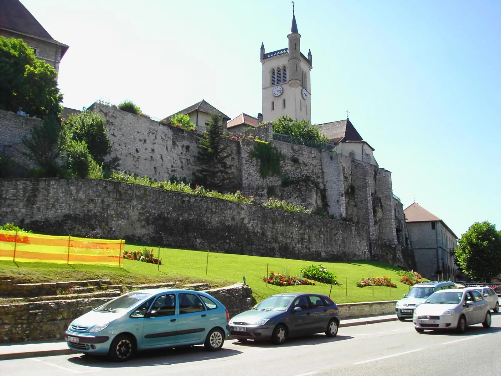
CurtinVillageStop by Curtin and take a moment to admire the traditional French architecture and colorful houses.
16 km
16 km
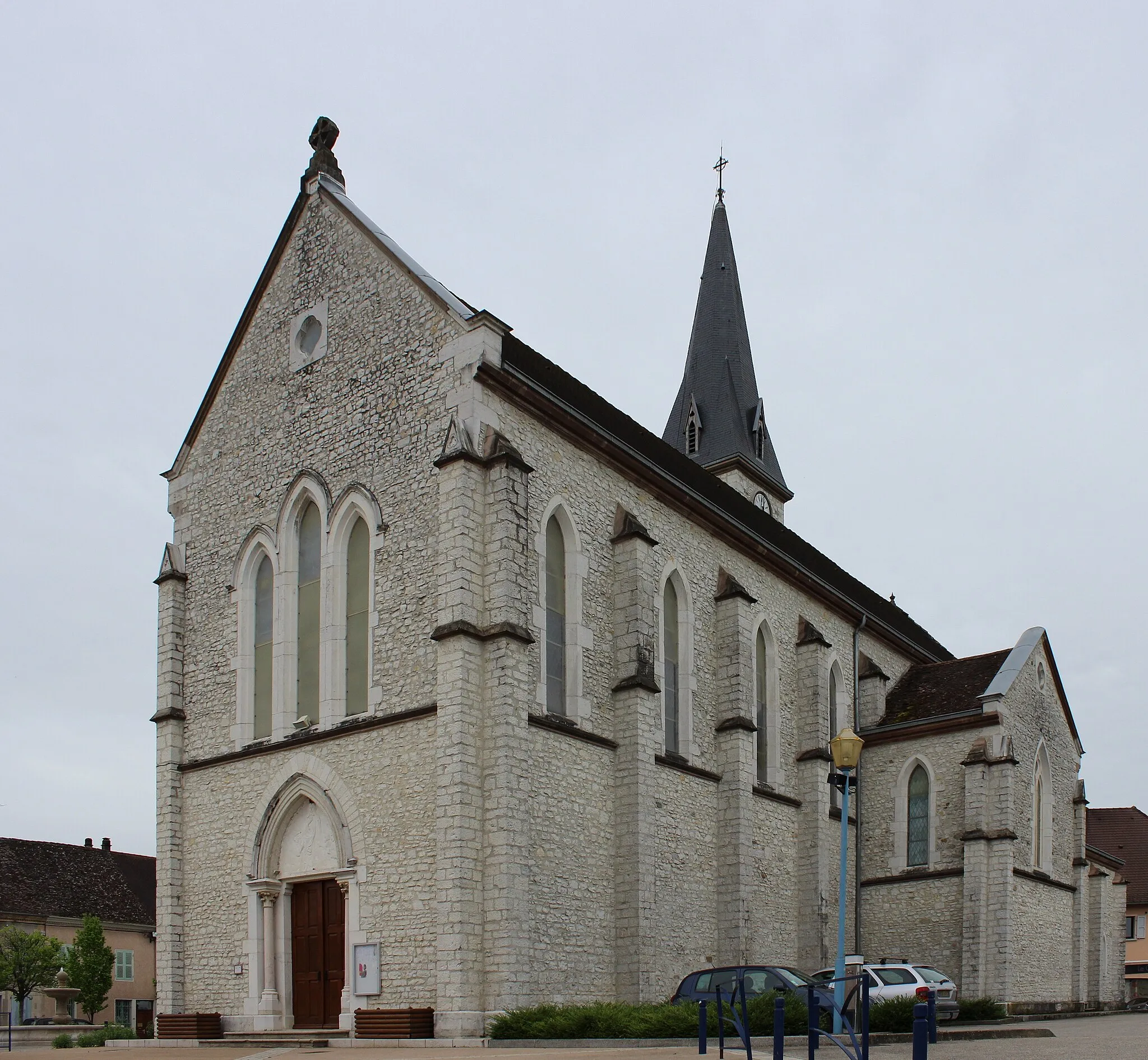
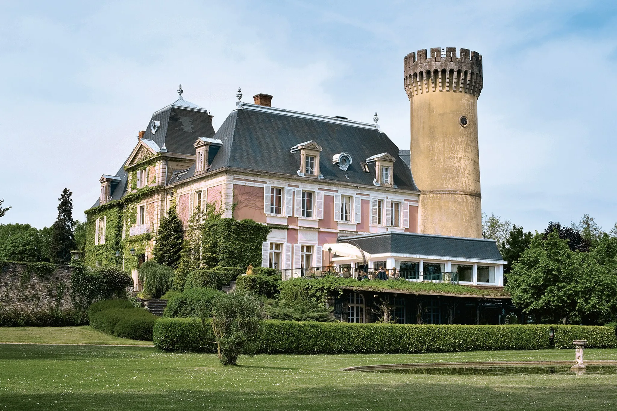
Le Grand Thur758 mPeakVisit Le Grand Thur, a small village known for its beautiful church and charming streets.
27 km
27 km
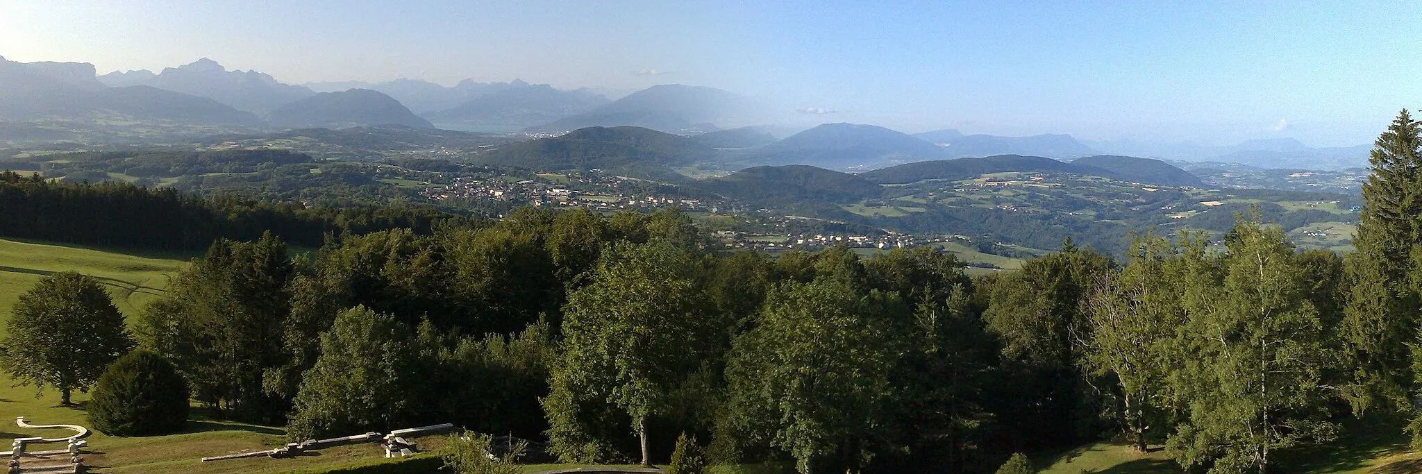
Point de VueViewpointAt Point de Vue, enjoy panoramic views of the surrounding mountains and countryside.
31 km
31 km
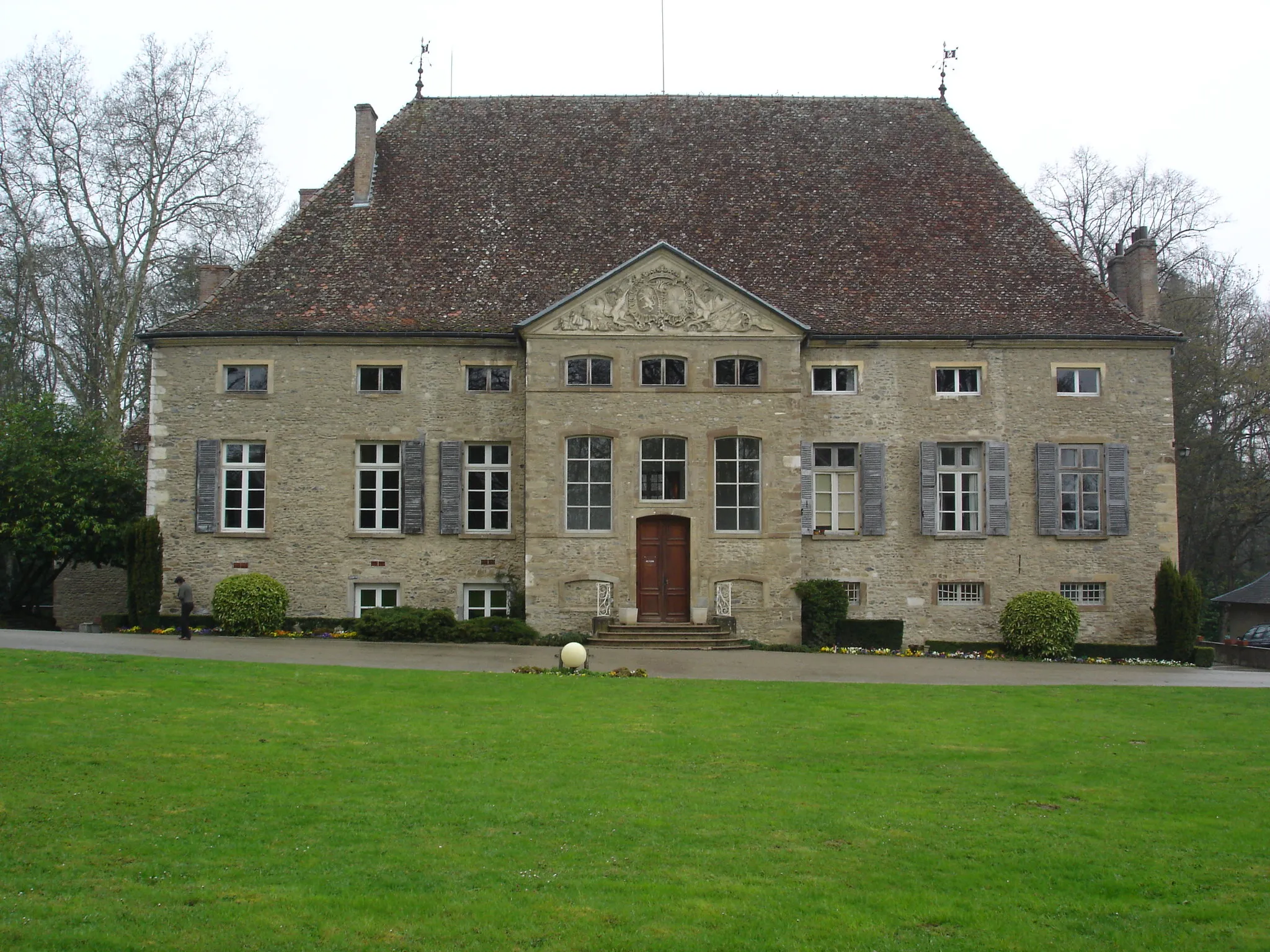
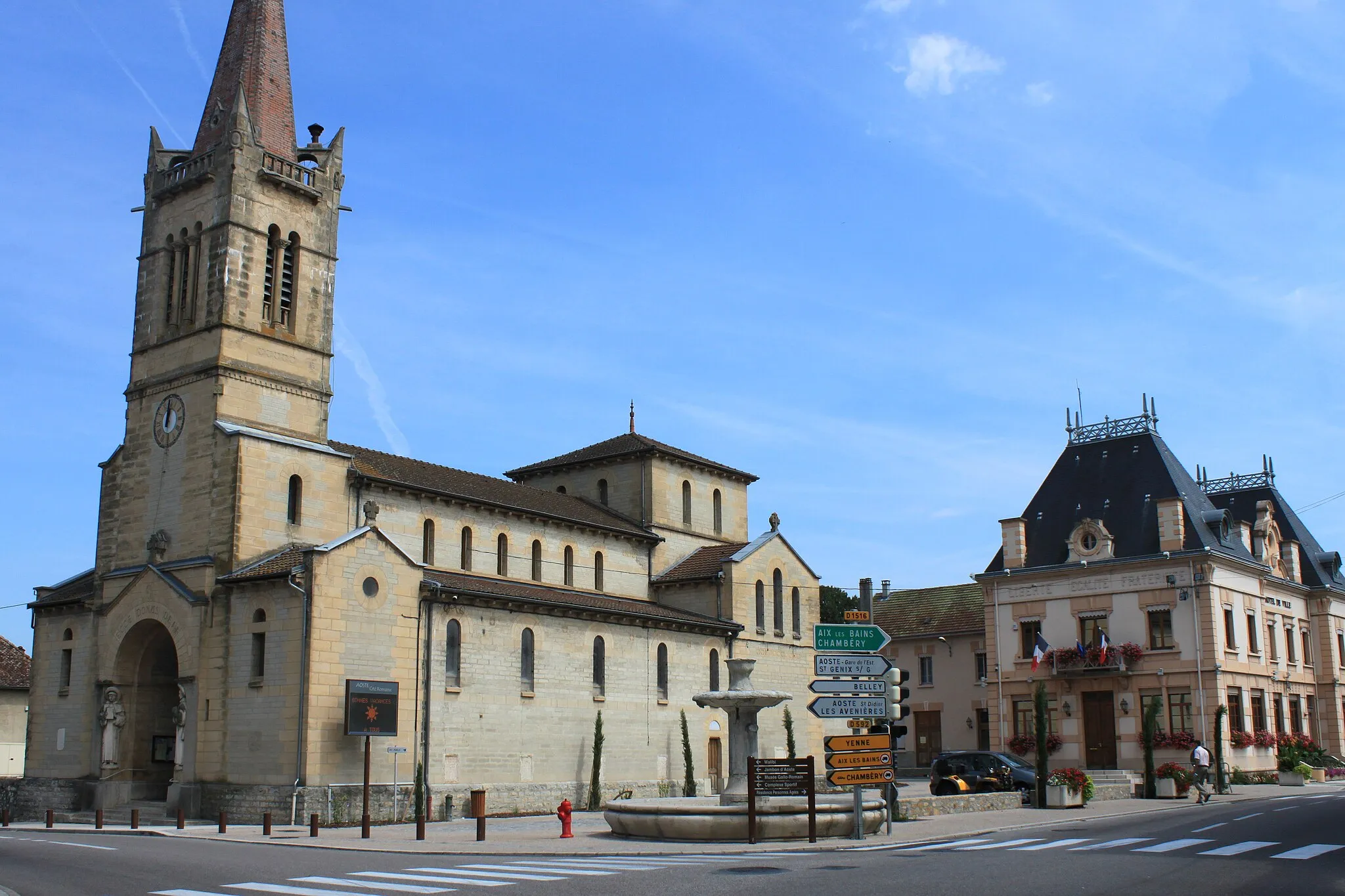
YenneVillageExplore the historic town of Yenne, known for its medieval castle ruins and charming old town.
54 km
54 km
Col de la Crusille579 mMountain PassCol de la Crusille is a legendary climb featured in several professional cycling races. Challenge yourself and conquer the steep ascent.
55 km
55 km
Sainte-Marie-d'AlveyVillageMake a stop in Sainte-Marie-d'Alvey and visit the local bakery for delicious treats and freshly baked bread.
68 km
68 km
GranieuVillageAdmire the beautiful landscapes as you pass through the small village of Granieu.
75 km
75 km
DolomieuVillageDolomieu is a quaint village with a rich history and charming architecture. Take some time to explore its streets and learn about its past.
79 km
79 km
Finish: Curtin Village centerThuellin: Tranquil countryside cycling in Rhône-Alpes.
Cycling routes nearby: