Cascade de Glandieu Loop
A road cycling route starting from Thuellin
Explore the stunning Cascade de Glandieu on this road cycling route near Thuellin.
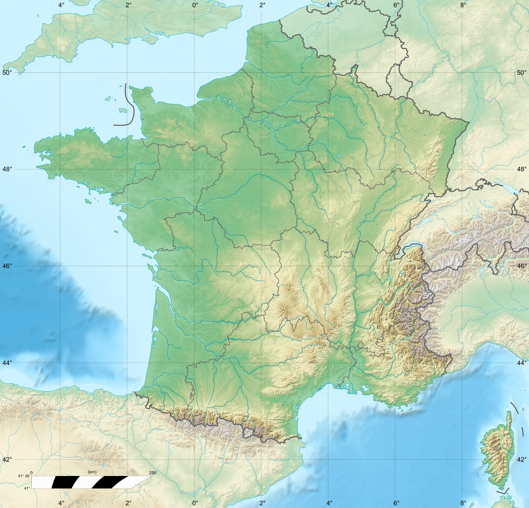
Map

This 41-kilometer road cycling route takes you through picturesque countryside, culminating in a visit to the beautiful Cascade de Glandieu. The route includes a total ascent of 427 meters, providing a moderate challenge for cyclists. With its scenic landscapes and natural beauty, this loop is perfect for riders looking to experience the charm of Rhône-Alpes.
road
41 km
427 m
Chill
Route profile
Highlights on the route
0 km
0 km
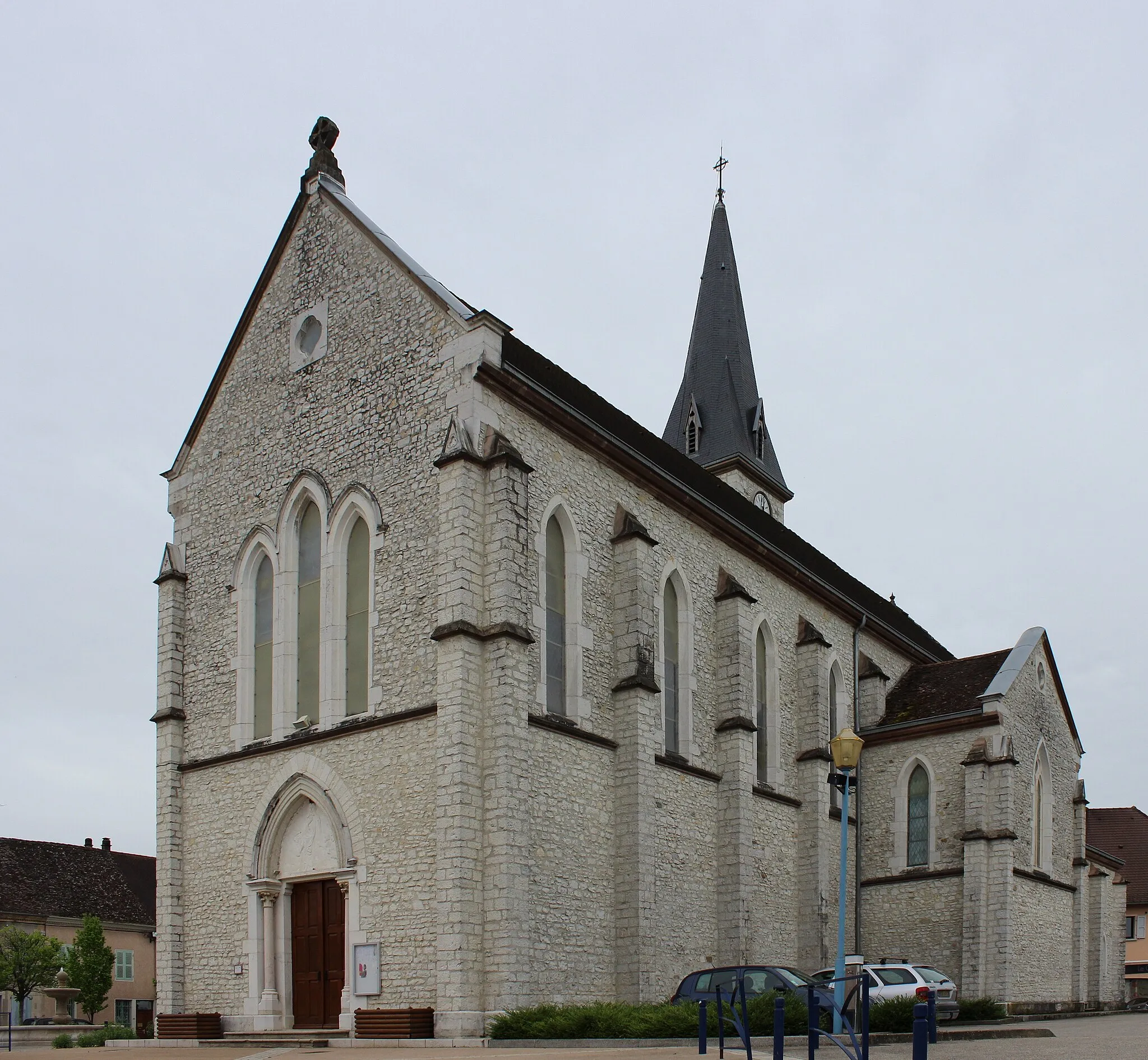
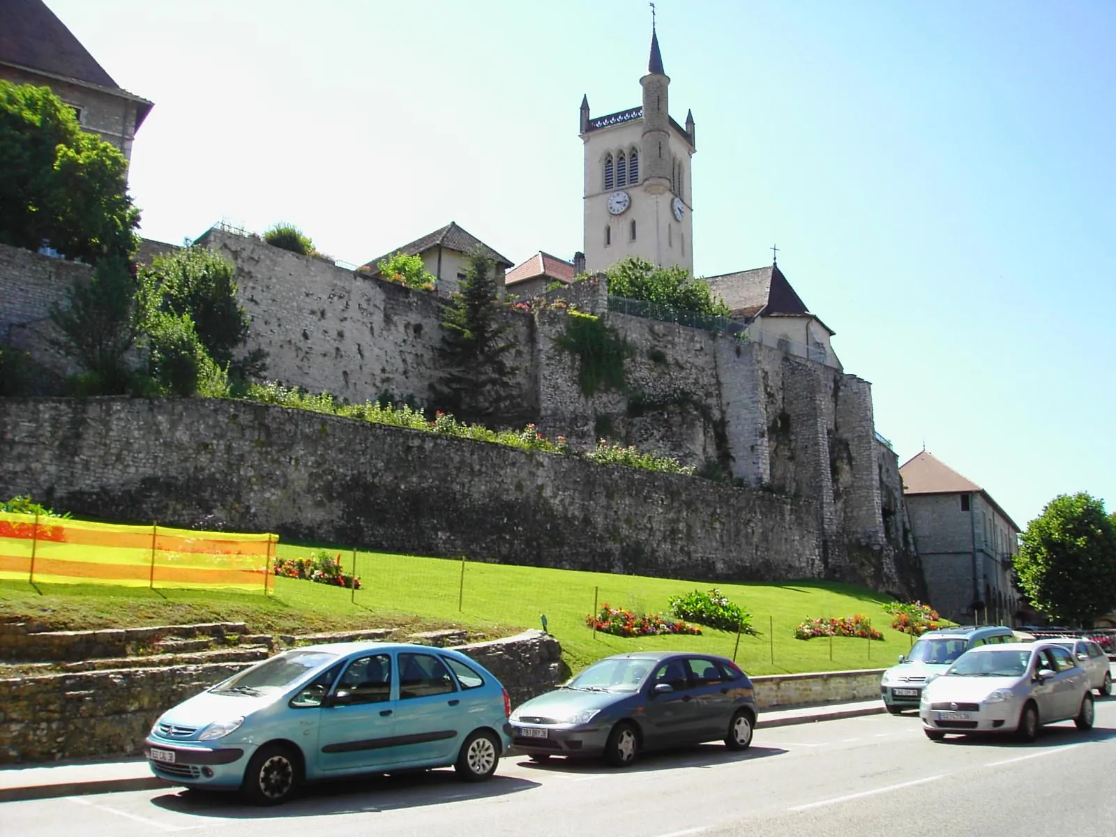
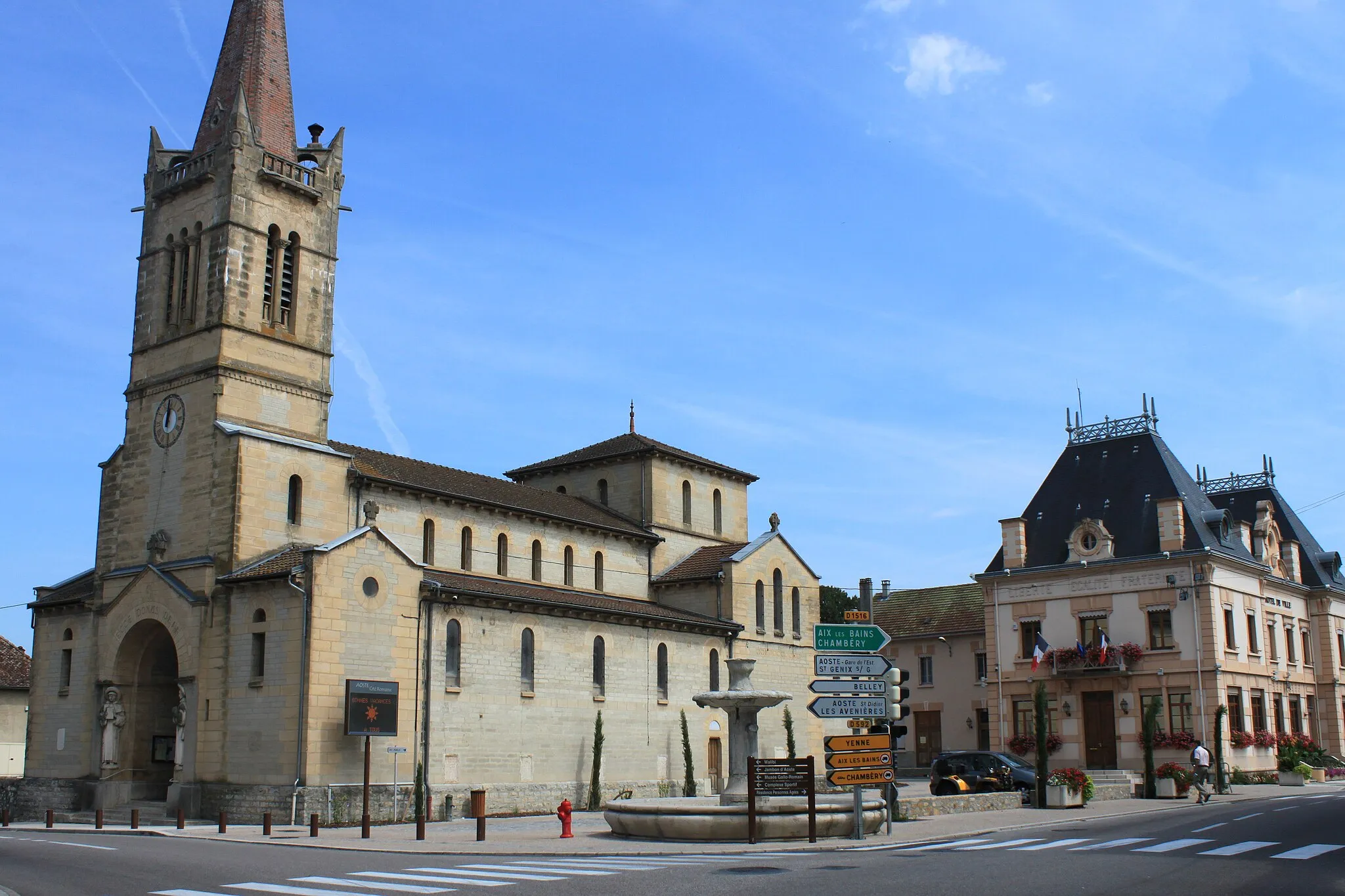
Start: Thuellin Village centerThuellin: Tranquil countryside cycling in Rhône-Alpes.
Thuellin is a small locality located in the Rhône-Alpes region of France. From a cyclist's perspective, it offers a relatively flat terrain with scenic countryside views. The roads are well-maintained, making it ideal for road cycling. However, there are no famous cycling-related spots or well-known climbs nearby. Overall, Thuellin is a decent option for road and gravel cyclists, but it may not offer the same level of excitement as some other localities.12 km
12 km
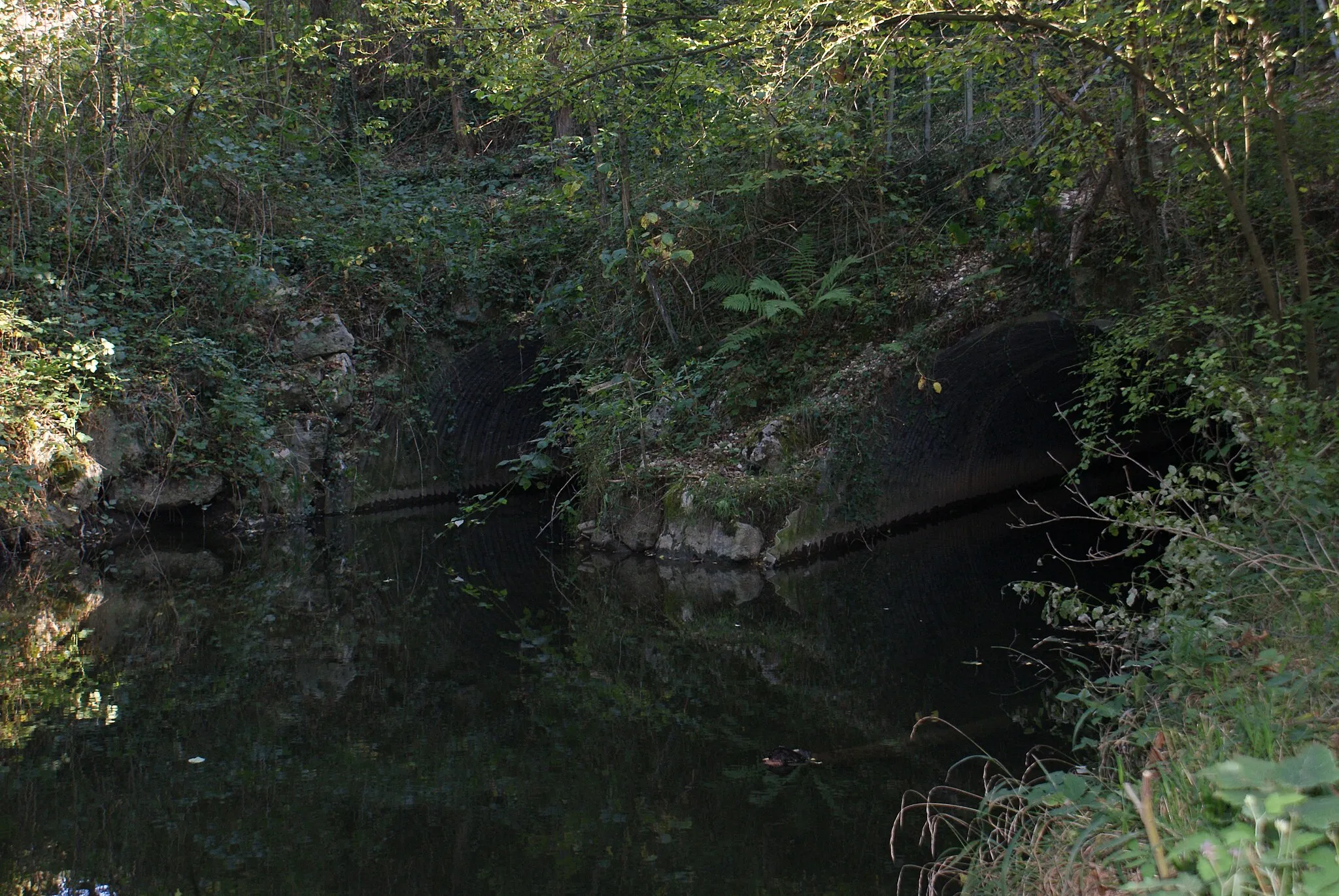
Cascade de GlandieuWaterfallDiscover the majestic Cascade de Glandieu, a captivating waterfall that cascades over lime deposits. Marvel at the natural beauty and take in the tranquil atmosphere of this enchanting spot.
19 km
19 km
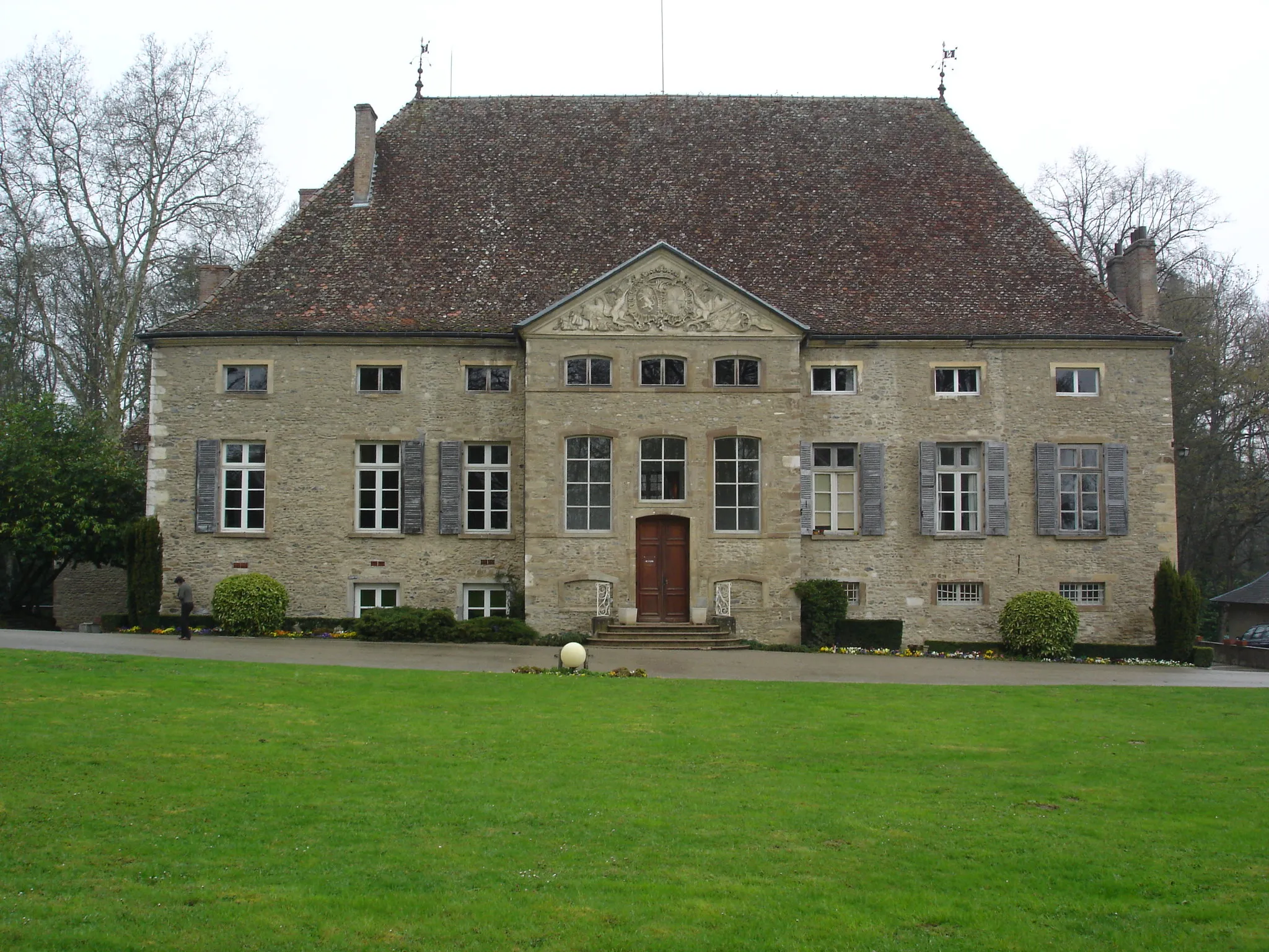
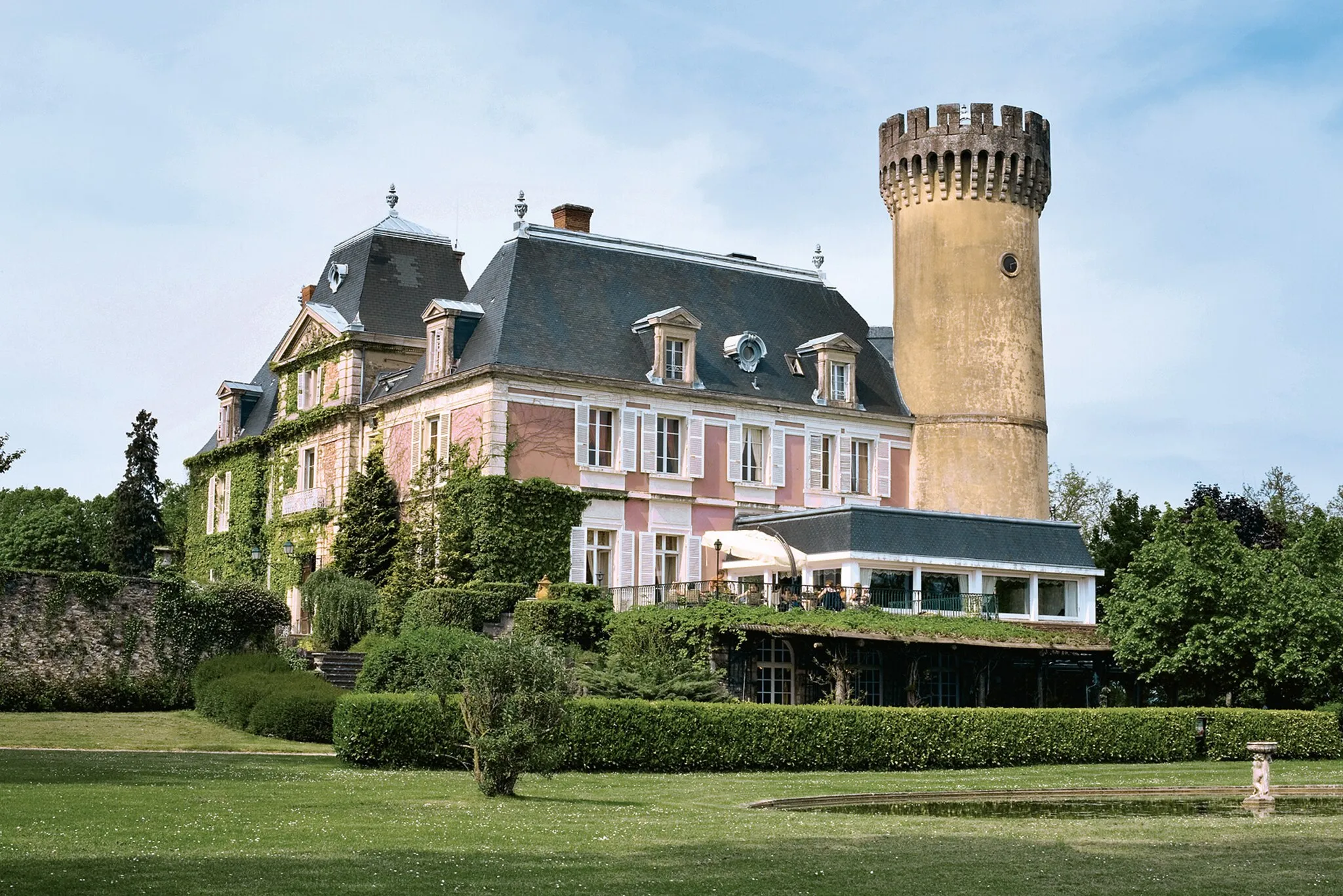
Château de PeyrieuCastleVisit Château de Peyrieu, an impressive medieval fortress with breathtaking views of the surrounding countryside. Explore the historic ruins and immerse yourself in the rich history of the region.
24 km
24 km
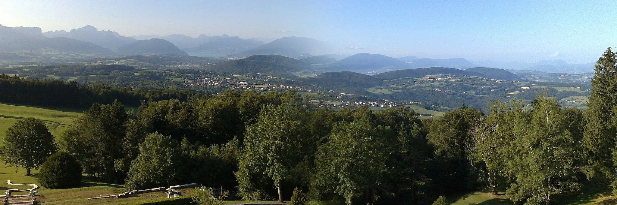
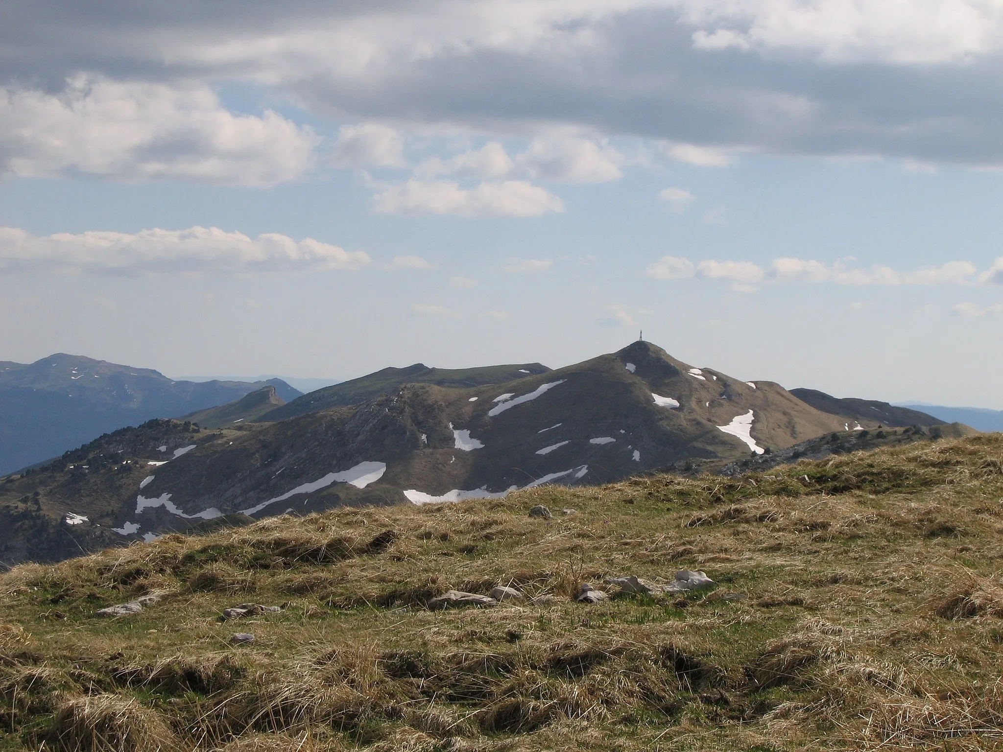
Mont Gela406 mPeakClimb Mont Gela and enjoy panoramic views of the Rhône-Alpes region. Experience a sense of achievement as you conquer the ascent and take in the stunning vistas.
29 km
29 km
Mont de Cordon400 mPeakCycle up Mont de Cordon and savour the challenge of this moderate climb. Enjoy the sense of accomplishment as you reach the summit and take in the surrounding landscapes.
36 km
36 km
Les AvenièresVillagePass through Les Avenières, a charming village known for its traditional architecture and quaint streets. Take a moment to explore this hidden gem and soak in the local atmosphere.
41 km
41 km
ThuellinVillageFinish the route in Thuellin, a peaceful commune with a rich history. Explore the well-preserved buildings and immerse yourself in the fascinating heritage of this idyllic town.
41 km
41 km
Finish: Thuellin Village centerThuellin: Tranquil countryside cycling in Rhône-Alpes.
Cycling routes nearby: