Gravel Offroad Adventure
A gravel cycling route starting from Hillscheid
Explore the beautiful countryside near Hillscheid on this thrilling offroad gravel route
Map
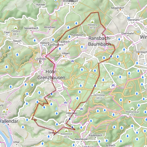
Embark on a challenging gravel cycling adventure near Hillscheid and get ready to be mesmerized by the stunning countryside. With a total ascent of 829 meters over a distance of 38 kilometers, this route is perfect for those seeking a thrilling offroad experience. The route takes you through picturesque villages, dense forests, and rolling hills, offering breathtaking views at every turn. Get ready for an unforgettable cycling journey that will push your limits and leave you with amazing memories.
gravel
38 km
829 m
Tough
Route profile
Highlights on the route
0 km
0 km
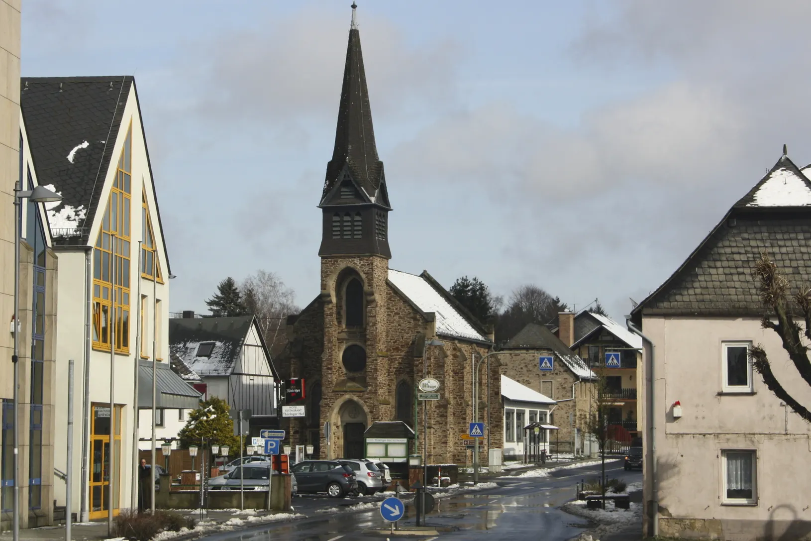
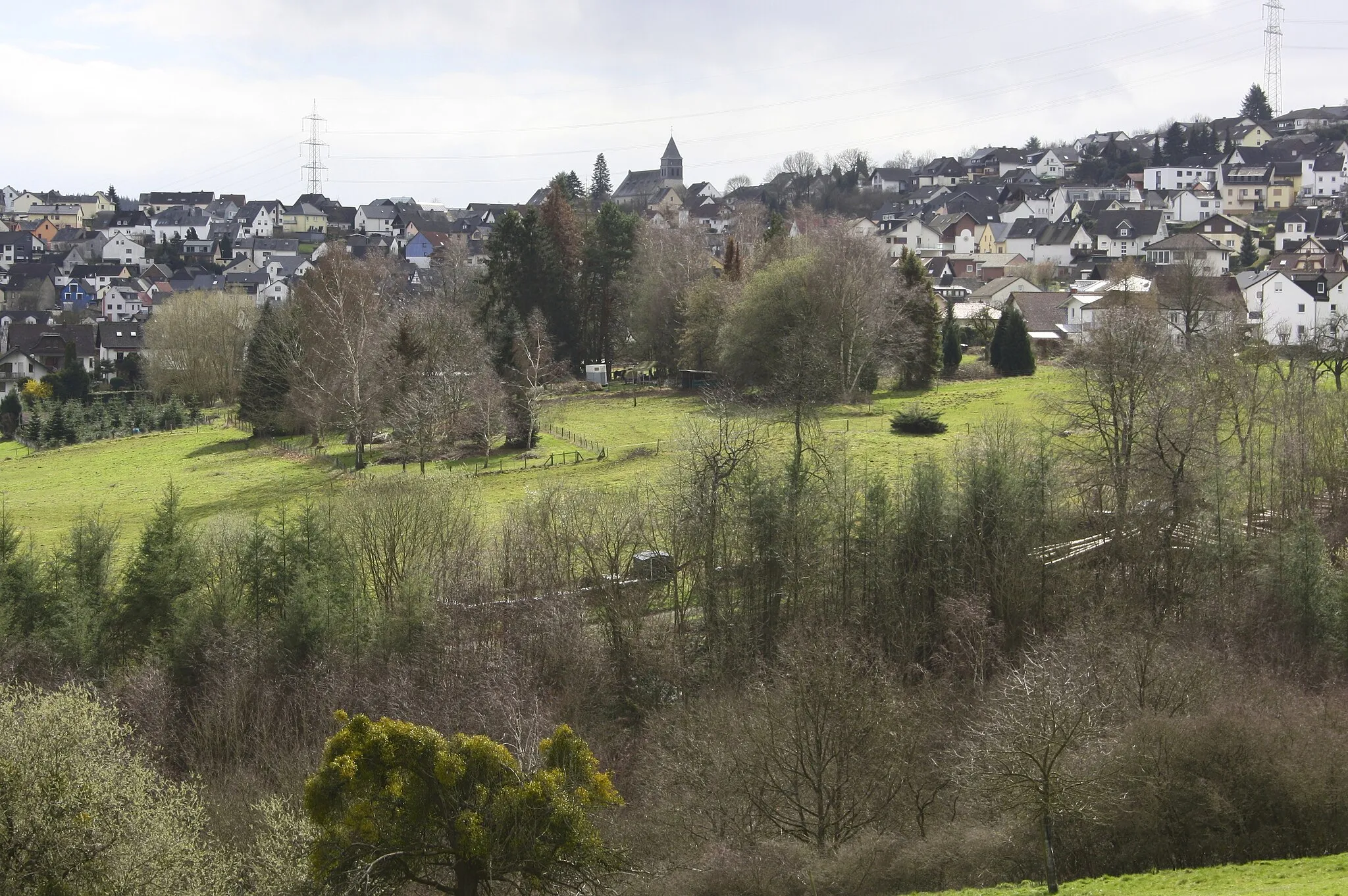
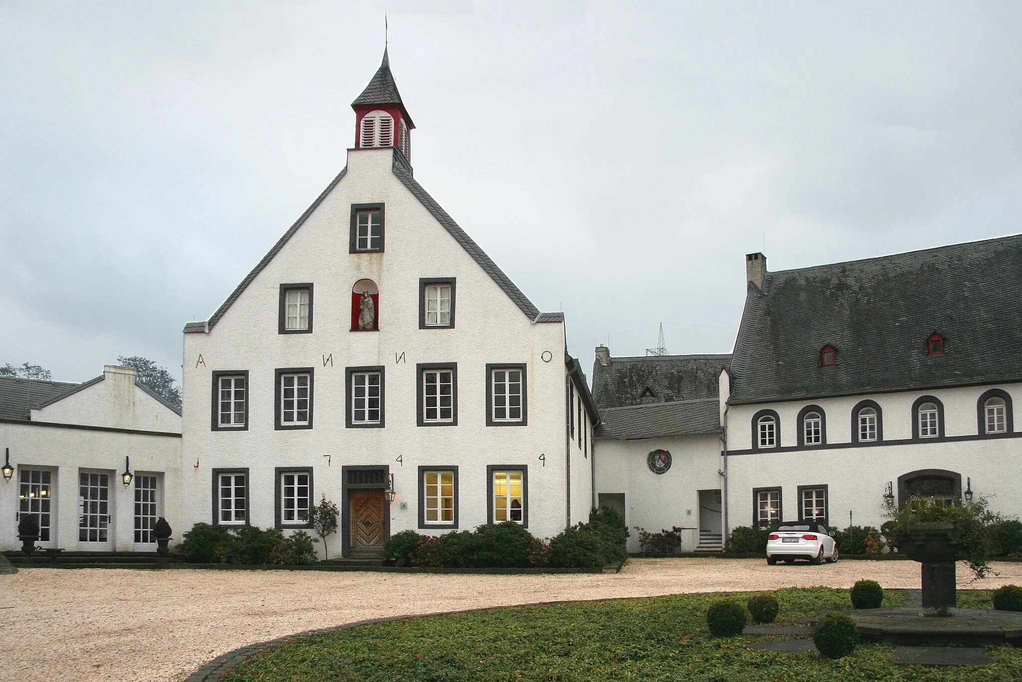
Start: Simmern Village centerHillscheid: Cycling Paradise in Koblenz, Germany
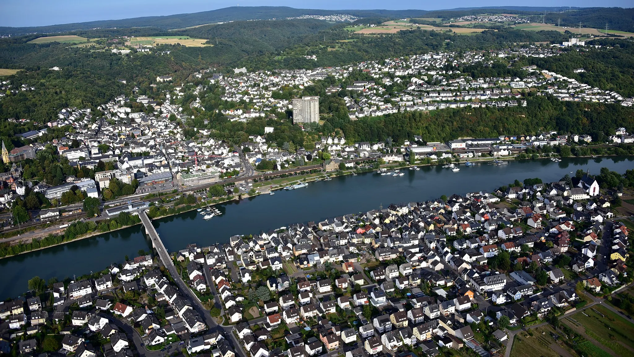
Hillscheid, situated in Koblenz, Germany, offers great cycling opportunities for both road and gravel cyclists. The locality features diverse terrain, including challenging climbs and scenic valleys, providing cyclists with exciting rides and breathtaking views. Hillscheid is located near the famous Rhine River, offering picturesque cycling routes along the riverbanks. Additionally, the area boasts several well-known climbs, such as the Ruppertsklamm, attracting cyclists looking for a thrilling ascent. With its stunning landscapes and cycling-friendly infrastructure, Hillscheid is a perfect destination for an unforgettable cycling adventure.5 km
5 km
Reitert271 mPeakMake a stop at Reitert and admire the charming rural landscapes. This idyllic village offers a glimpse into traditional German countryside living.
10 km
10 km
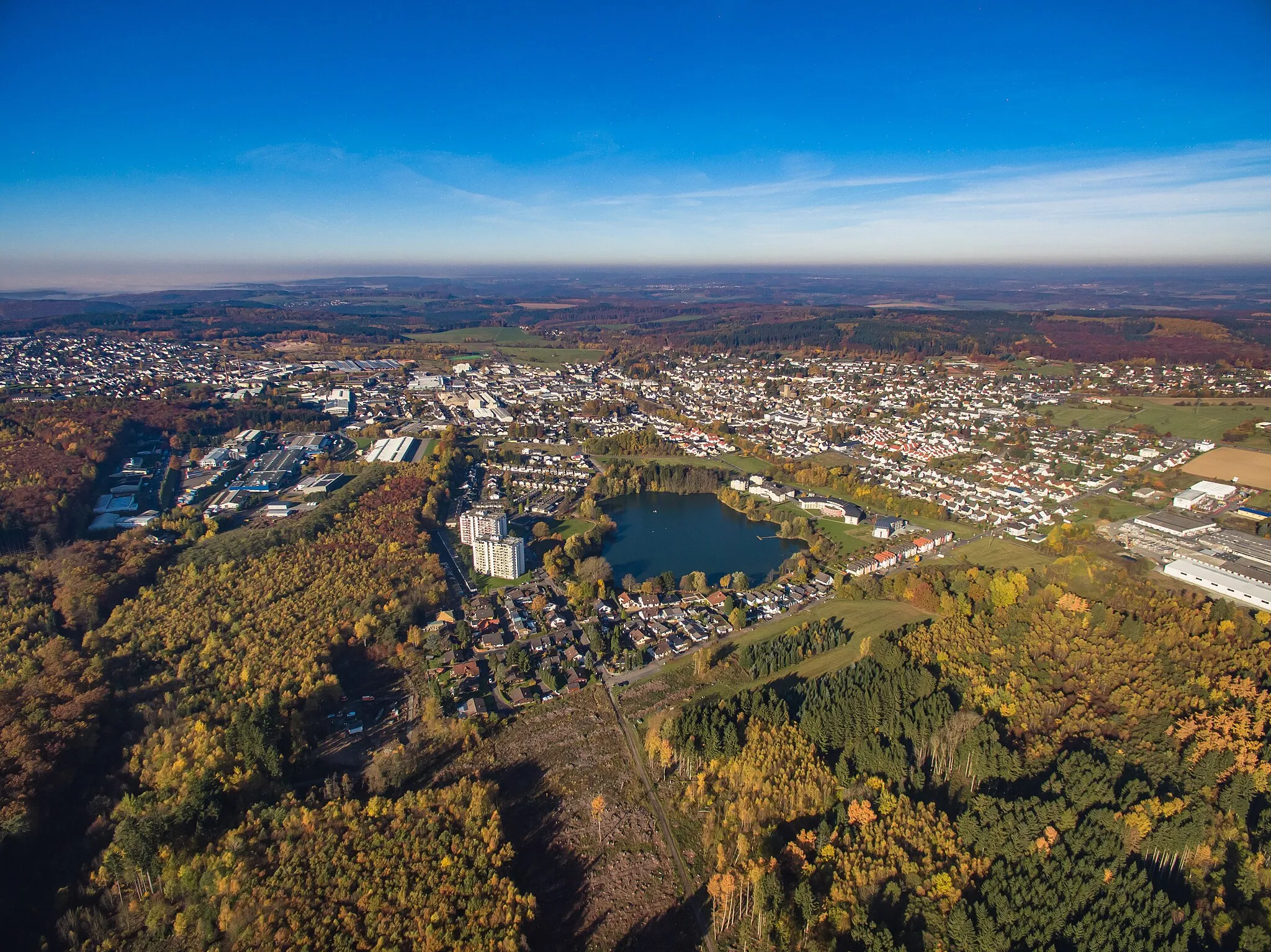
Höhr-GrenzhausenTownHöhr-Grenzhausen is a small town known for its ceramic industry. Take a break and explore the town's pottery shops and workshops.
23 km
23 km
Ransbach-BaumbachTownRansbach-Baumbach is famous for its Westerwald Pottery Museum. Take some time to visit the museum and discover the rich history of pottery in the region.
30 km
30 km
Alarmstange545 mPeakClimb up to the Alarmstange viewpoint, located at 30 kilometers into the route. Enjoy panoramic views of the surrounding countryside and catch your breath before continuing the ride.
35 km
35 km
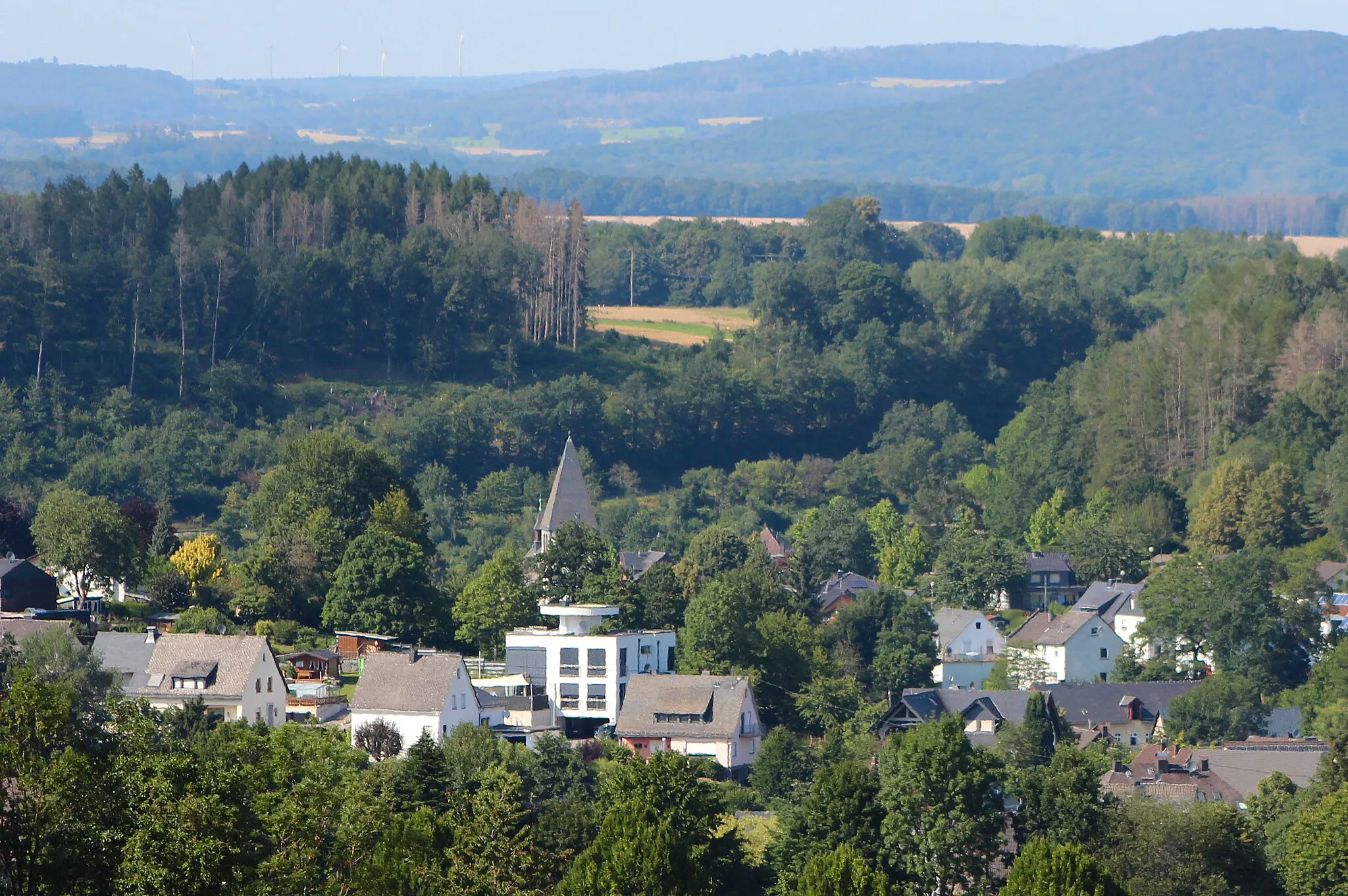
Schutzhütte "Zur schönen Aussicht" NeuhäuselShelterStop by the Schutzhütte "Zur schönen Aussicht" Neuhäusel at the 35-kilometer mark. This viewpoint offers breathtaking vistas of the Rhine Valley and the nearby towns.
38 km
38 km
Finish: Simmern Village centerHillscheid: Cycling Paradise in Koblenz, Germany
Cycling routes from Hillscheid:
Gravel Adventure through Scenic Landscapes Scenic Gravel Route to Vallendar Road Adventure to Eitelborn Gravel Offroad Adventure Road Route to Conquer the Hills The Hillscheid Gravel Adventure The Westerwald Challenge The Lahn Valley Gravel Exploration Road Journey to Historic Koblenz The Wiedtal Loop
Cycling routes nearby: