The Wiedtal Loop
A road cycling route starting from Hillscheid
Experience the scenic beauty of the Wiedtal valley.
Map
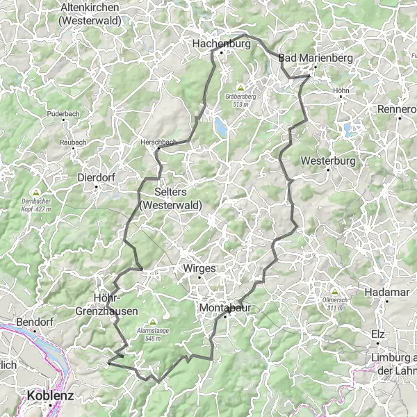
The Wiedtal Loop is a challenging road cycling route that takes you through the picturesque Wiedtal valley. With a total ascent of 1790 meters and a distance of 106 kilometers, this route offers a great challenge for experienced cyclists. The highlight of the route is the stunning view from the Bergkreuz Altstadt lookout point. The route also passes through charming towns like Höhr-Grenzhausen and Montabaur, where you can admire the local architecture and enjoy some traditional German cuisine. Overall, the Wiedtal Loop is a must-do for cyclists looking for a challenging and scenic ride.
road
106 km
1790 m
Tough
Route profile
Highlights on the route
0 km
0 km
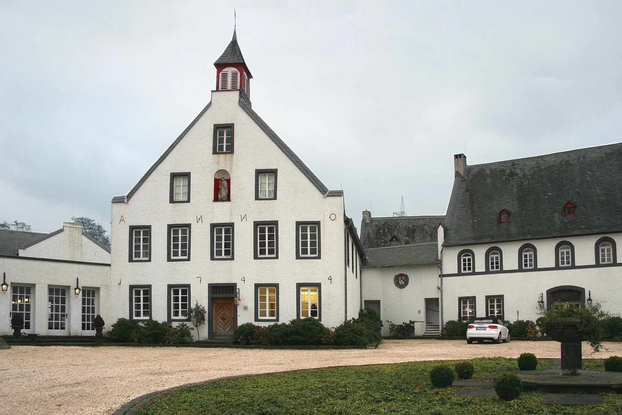
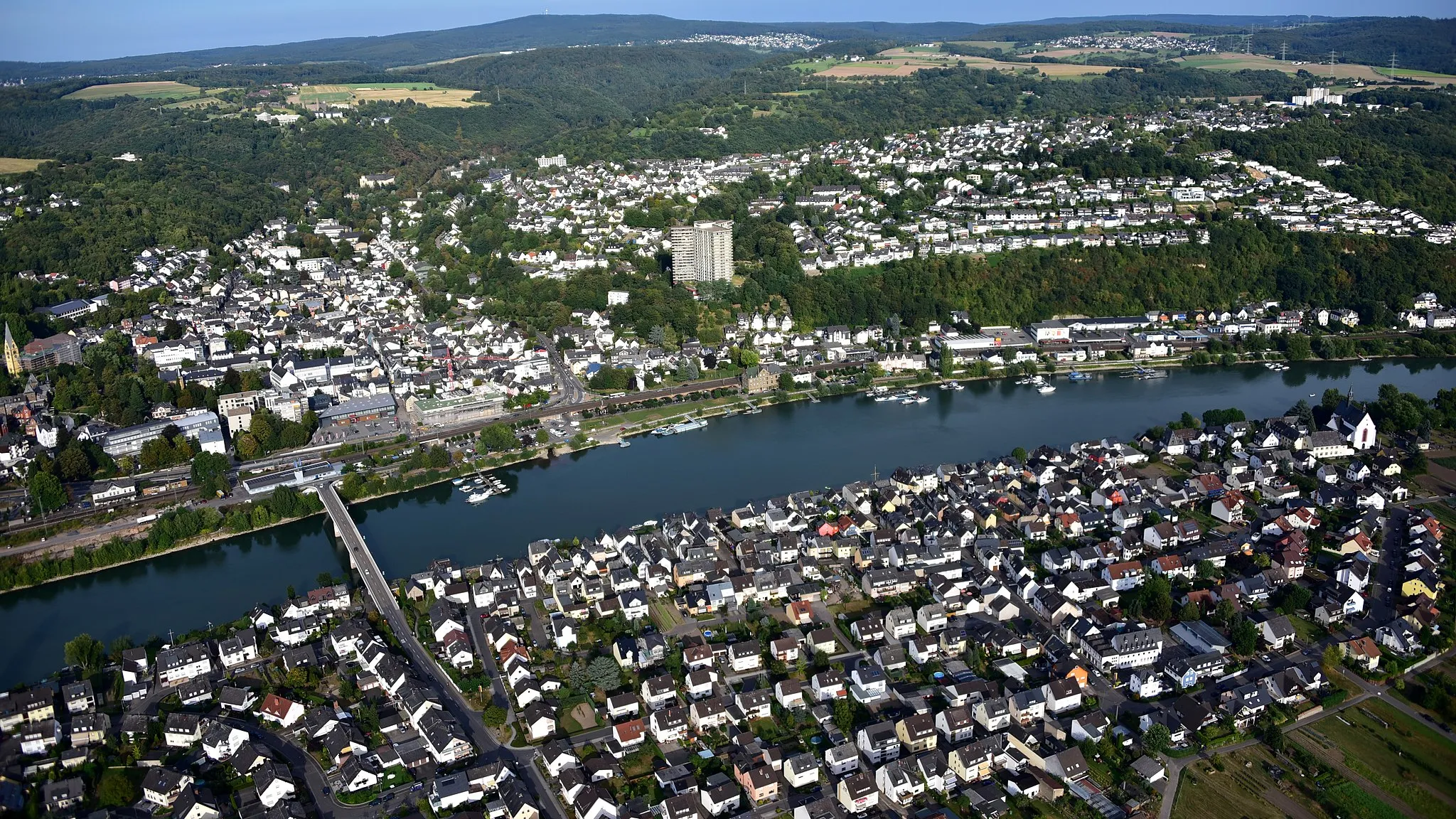
Start: Simmern Village centerHillscheid: Cycling Paradise in Koblenz, Germany
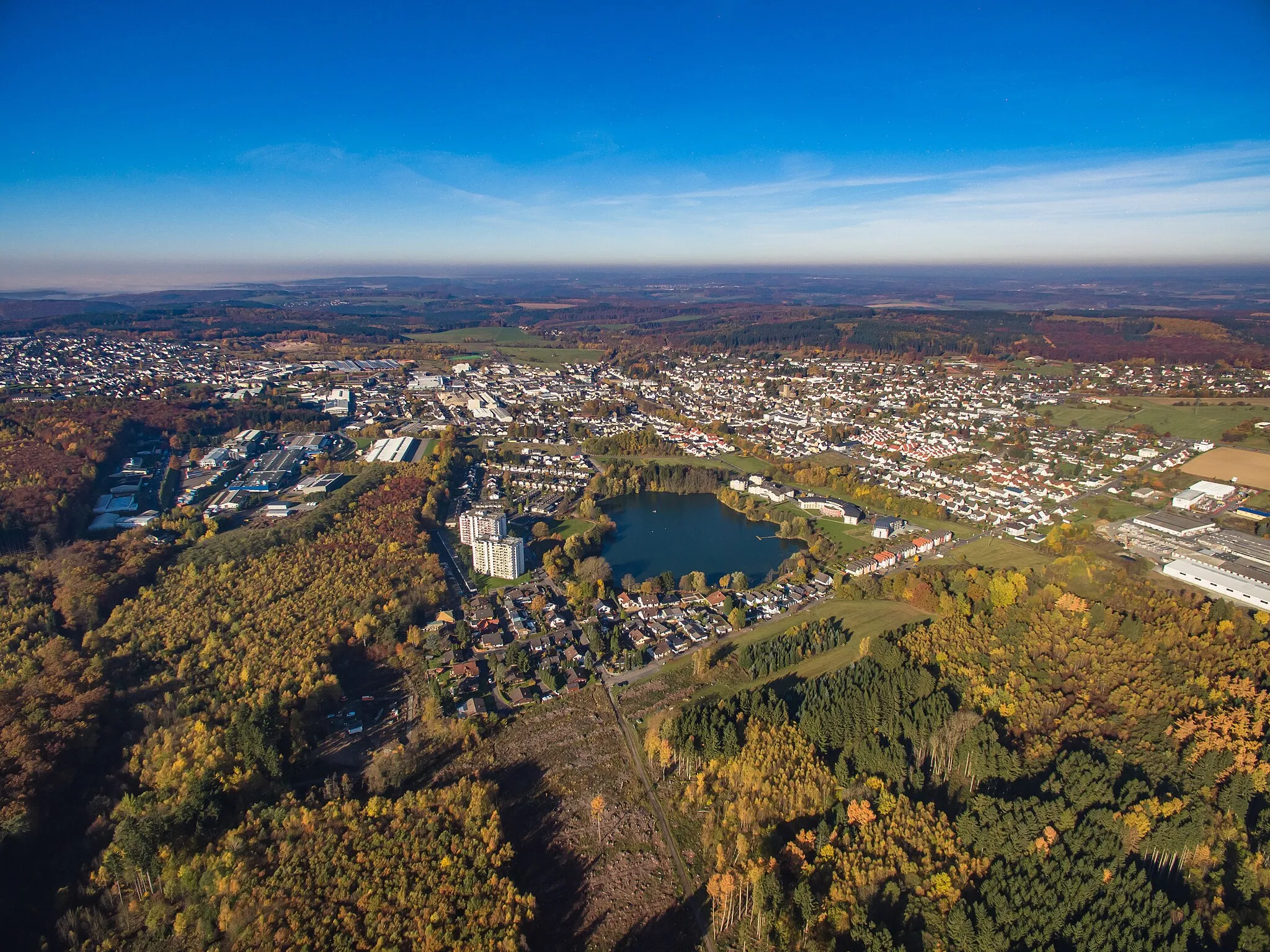
Hillscheid, situated in Koblenz, Germany, offers great cycling opportunities for both road and gravel cyclists. The locality features diverse terrain, including challenging climbs and scenic valleys, providing cyclists with exciting rides and breathtaking views. Hillscheid is located near the famous Rhine River, offering picturesque cycling routes along the riverbanks. Additionally, the area boasts several well-known climbs, such as the Ruppertsklamm, attracting cyclists looking for a thrilling ascent. With its stunning landscapes and cycling-friendly infrastructure, Hillscheid is a perfect destination for an unforgettable cycling adventure.9 km
9 km
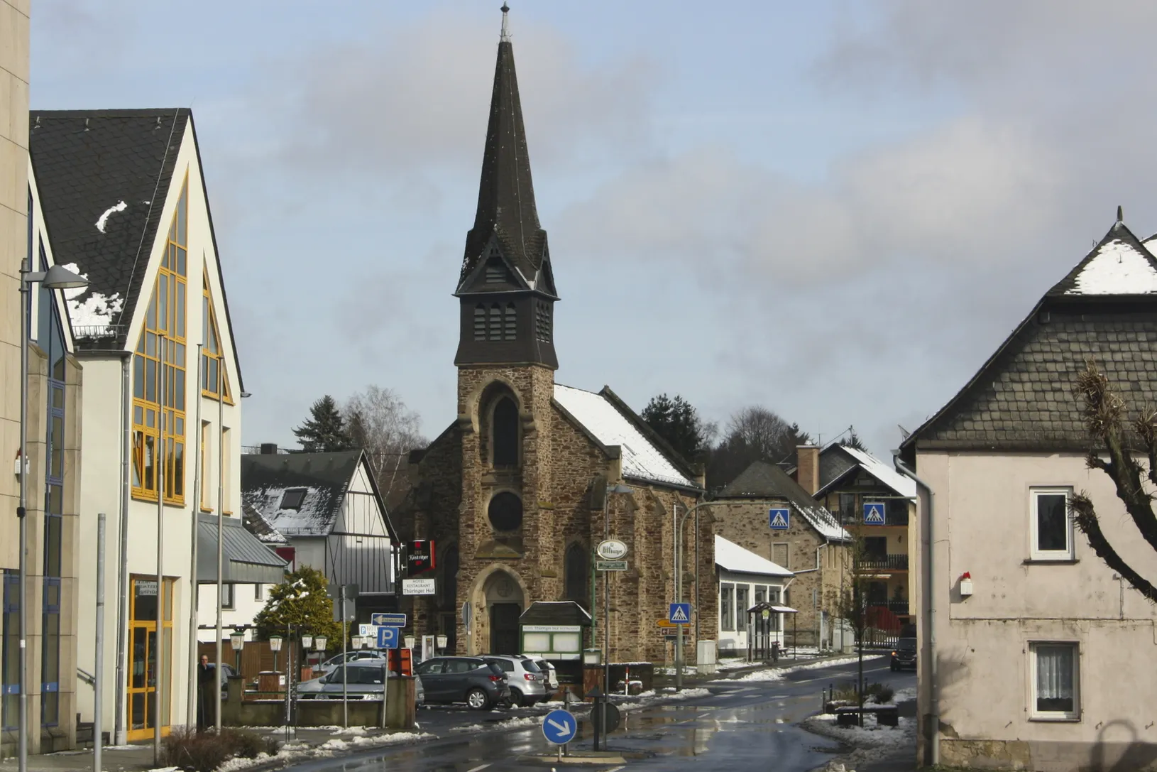
Höhr-GrenzhausenTownHöhr-Grenzhausen is known for its ceramics industry. Take a break and explore the local pottery shops and museums.
18 km
18 km
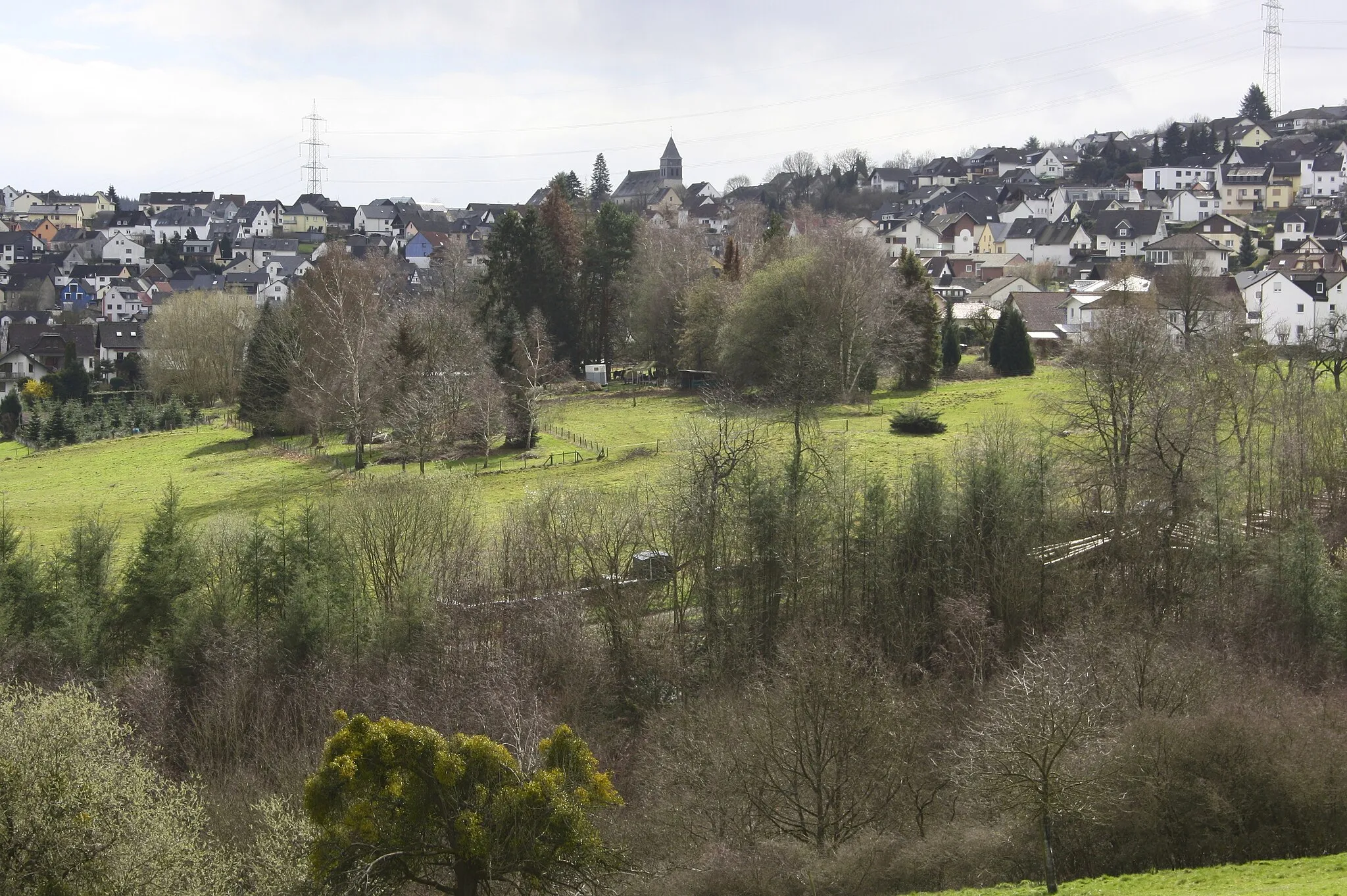
Rödersberg281 mPeakRödersberg offers a great view of the surrounding countryside. It's the perfect spot to take a rest and enjoy the scenery.
19 km
19 km
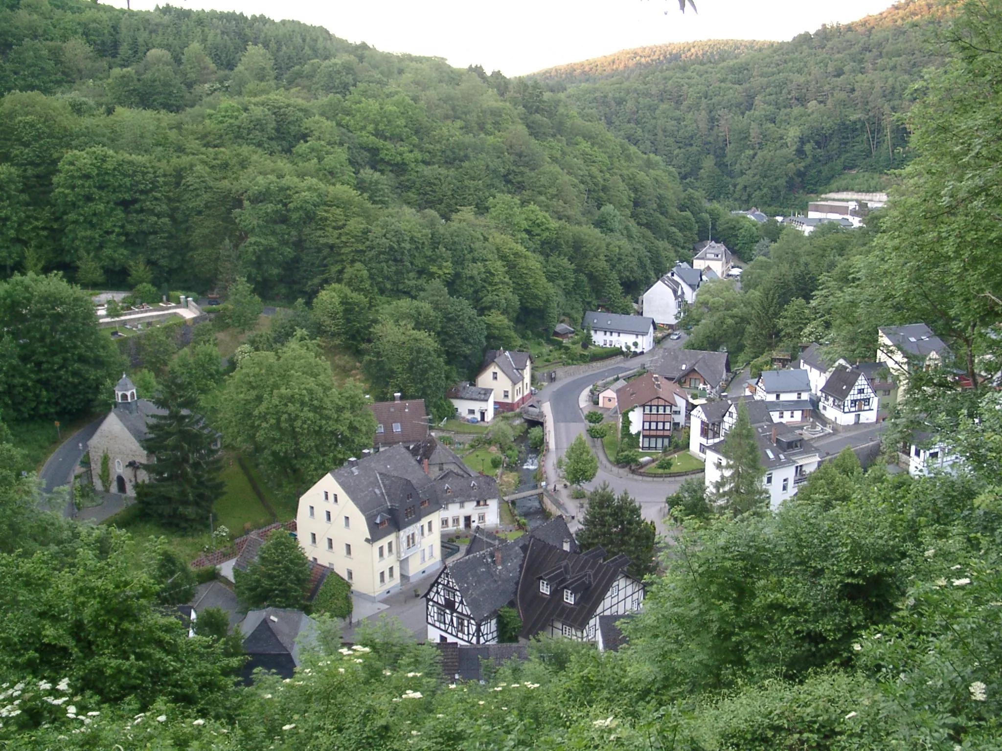
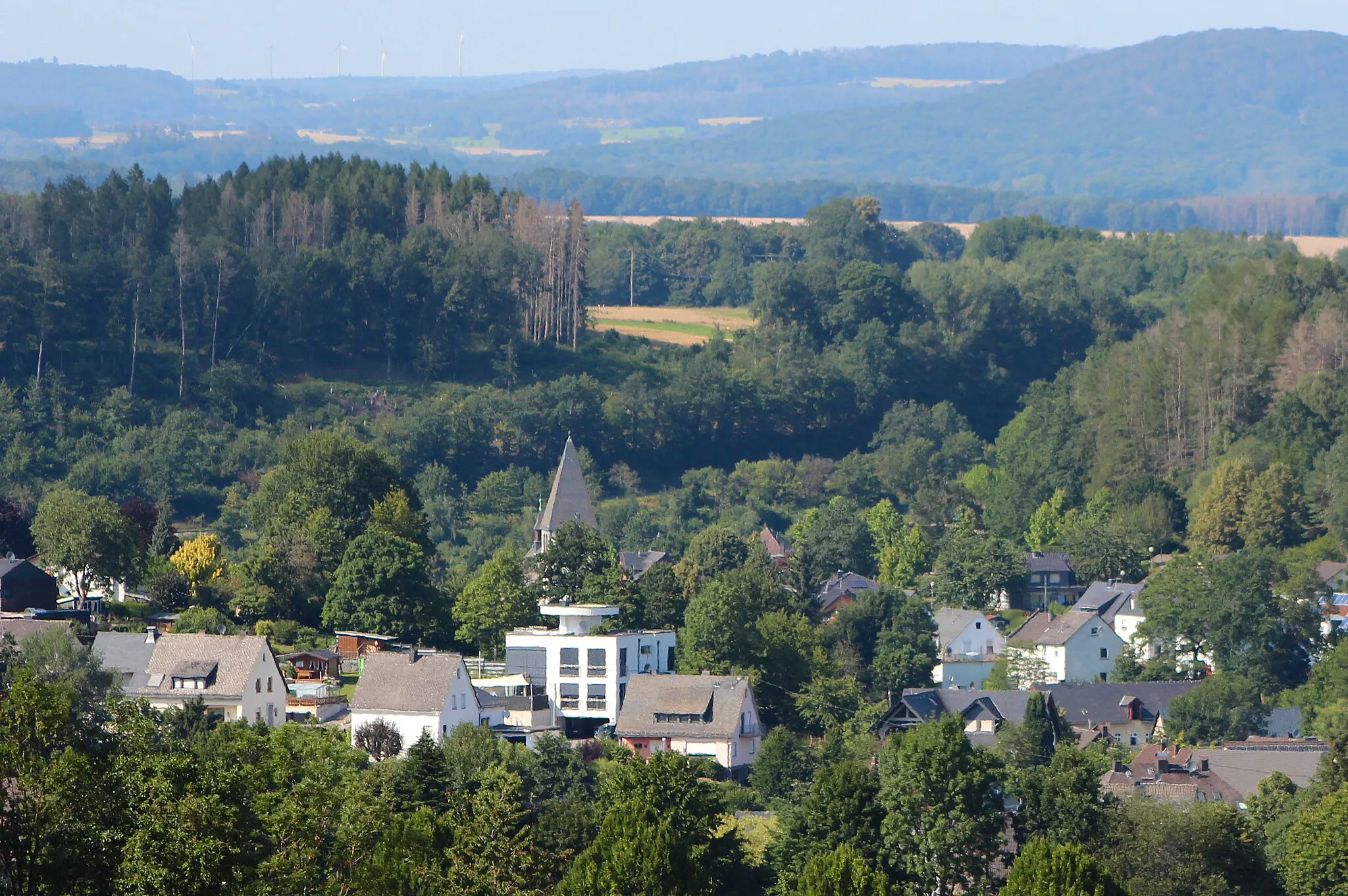
BreitenauVillageBreitenau is a small village known for its traditional half-timbered houses. Take a moment to admire the charming architecture.
37 km
37 km
Steinebach an der WiedVillageSteinebach an der Wied is home to a beautiful lake where you can relax and cool off after a long ride.
42 km
42 km
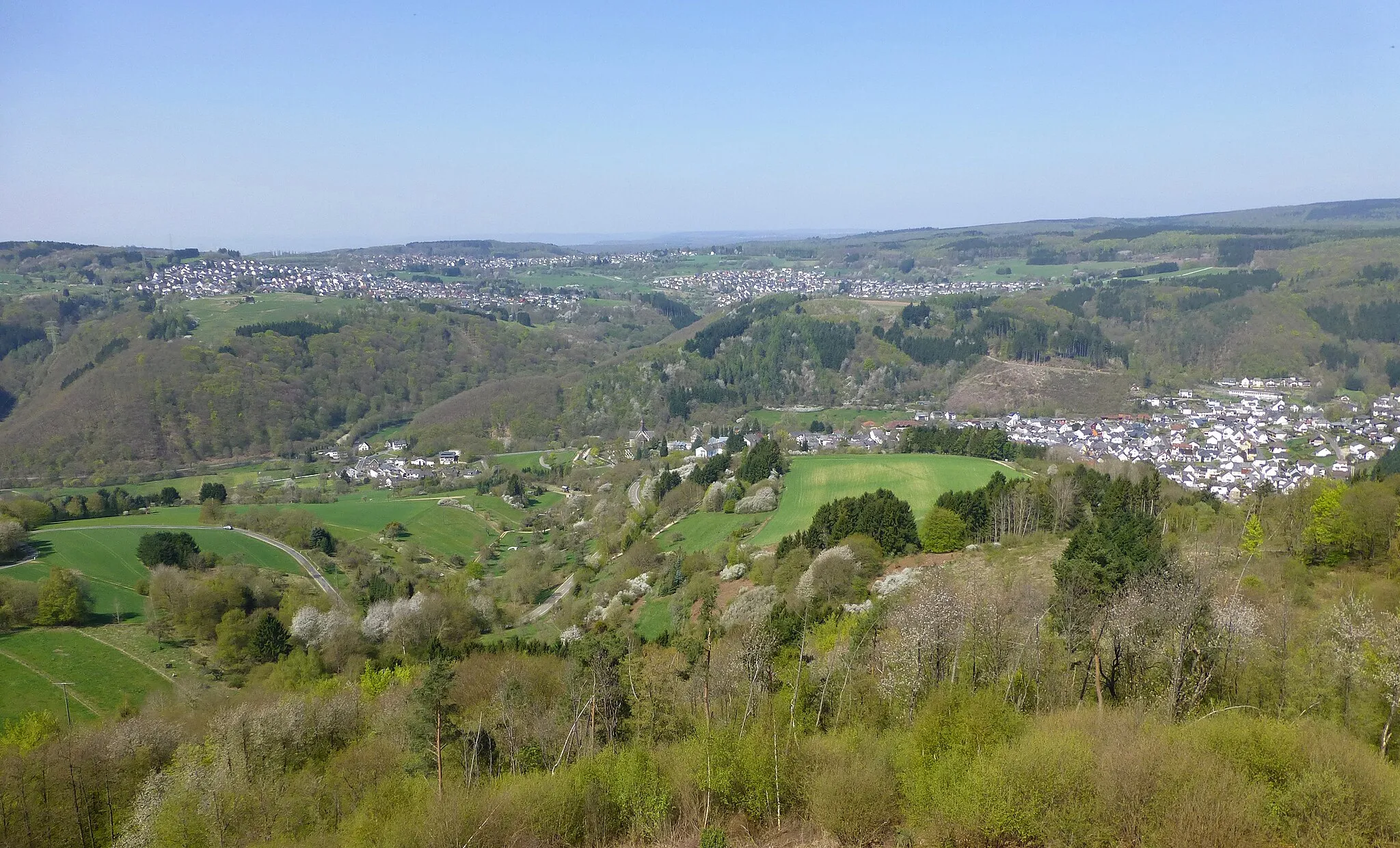
Aussichtspunkt Bergkreuz AltstadtViewpointThe Bergkreuz Altstadt lookout point offers a stunning panoramic view of the Wiedtal valley. It's definitely worth a stop!
58 km
58 km
DreisbachVillageDreisbach is a charming village surrounded by green hills. It's the perfect place to take a break and enjoy nature.
61 km
61 km
Röhrshahn506 mPeakRöhrshahn is a quiet village with beautiful historic buildings. Take a leisurely stroll and explore the local architecture.
82 km
82 km
Koppel298 mPeakKoppel is a small village known for its traditional wine production. Stop by a local winery and taste some regional wines.
86 km
86 km
MontabaurTownMontabaur is a historic town with a beautiful castle. Take a guided tour and learn about the town's rich history.
102 km
102 km
EitelbornVillageEitelborn is surrounded by beautiful forests and nature reserves. Enjoy a peaceful moment in the midst of nature.
104 km
104 km
Eisenköppel362 mPeakEisenköppel is a small village with traditional German architecture. Take a walk and discover the local charm.
106 km
106 km
Finish: Simmern Village centerHillscheid: Cycling Paradise in Koblenz, Germany
Cycling routes from Hillscheid:
Gravel Adventure through Scenic Landscapes Scenic Gravel Route to Vallendar Road Adventure to Eitelborn Gravel Offroad Adventure Road Route to Conquer the Hills The Hillscheid Gravel Adventure The Westerwald Challenge The Lahn Valley Gravel Exploration Road Journey to Historic Koblenz The Wiedtal Loop
Cycling routes nearby: