Road Journey to Historic Koblenz
A road cycling route starting from Hillscheid
Embark on a historic road journey to Koblenz near Hillscheid
Map
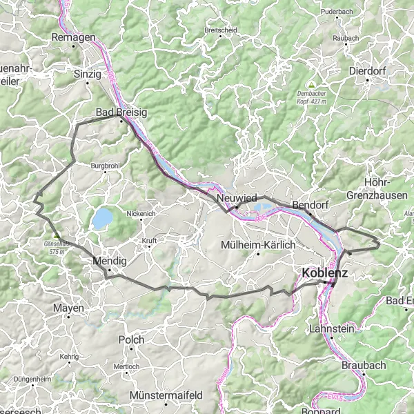
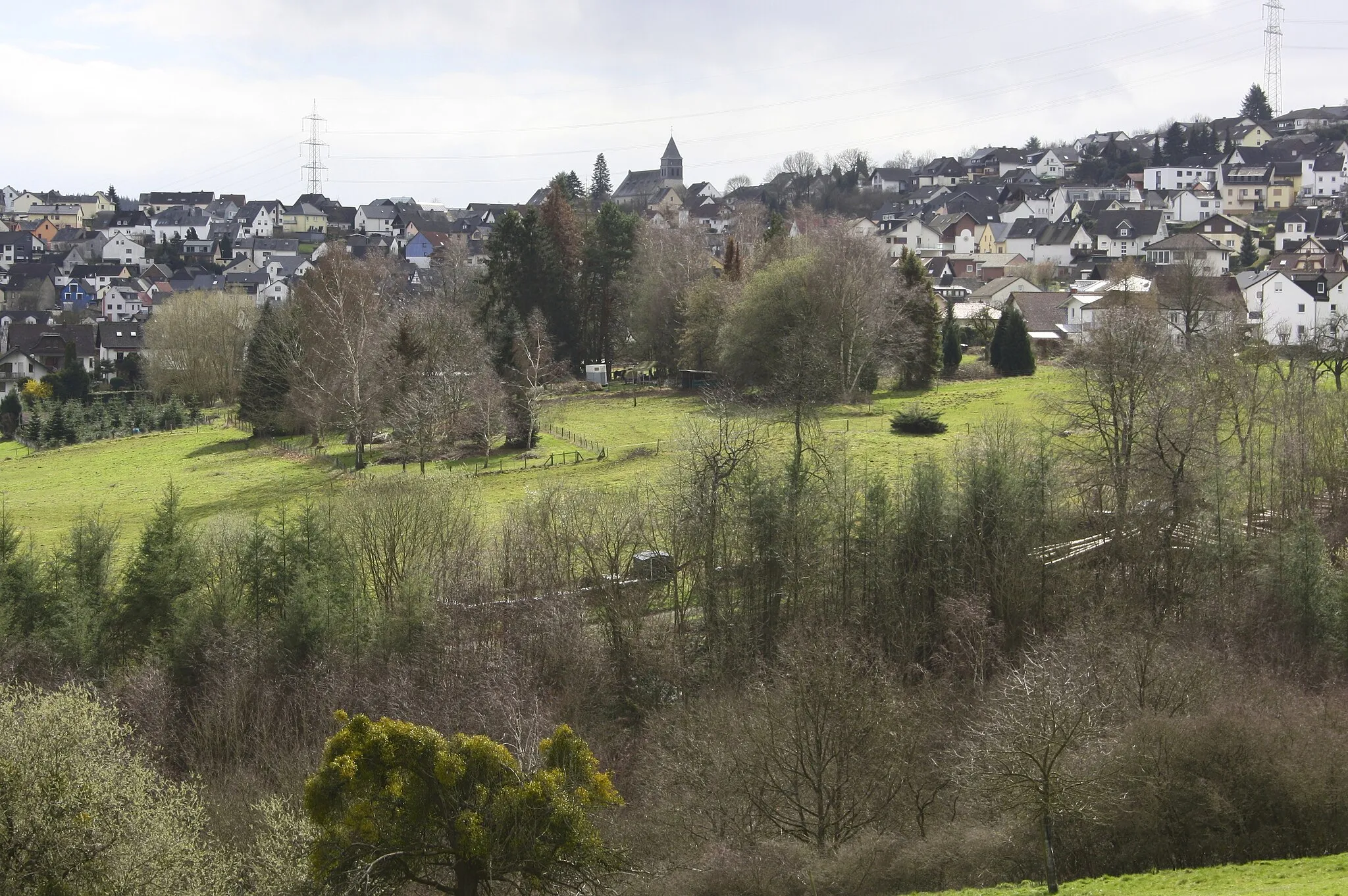
Immerse yourself in history as you embark on this road journey to the historic city of Koblenz near Hillscheid. With a total ascent of 1,309 meters and a distance of 101 kilometers, this route is perfect for history enthusiasts and cycling adventurers alike. Discover landmarks, enjoy scenic vistas, and experience the rich culture of Koblenz along the way.
road
101 km
1309 m
Tough
Route profile
Highlights on the route
0 km
0 km
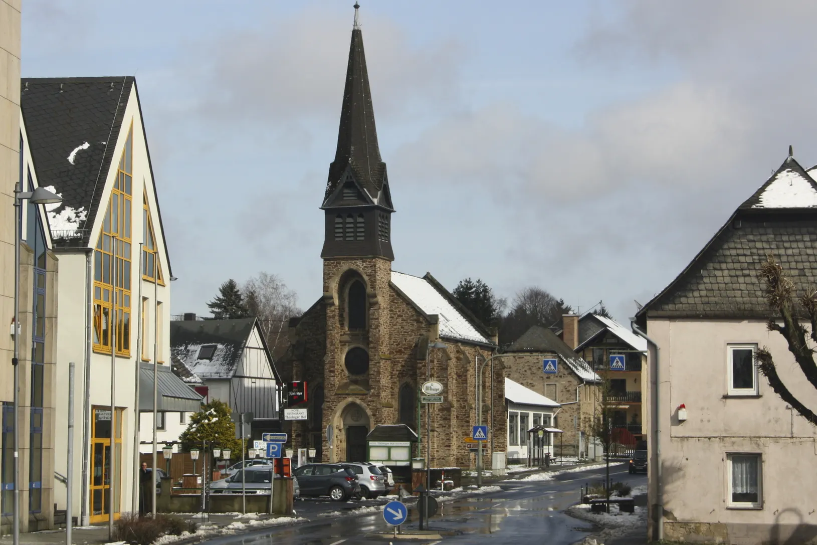
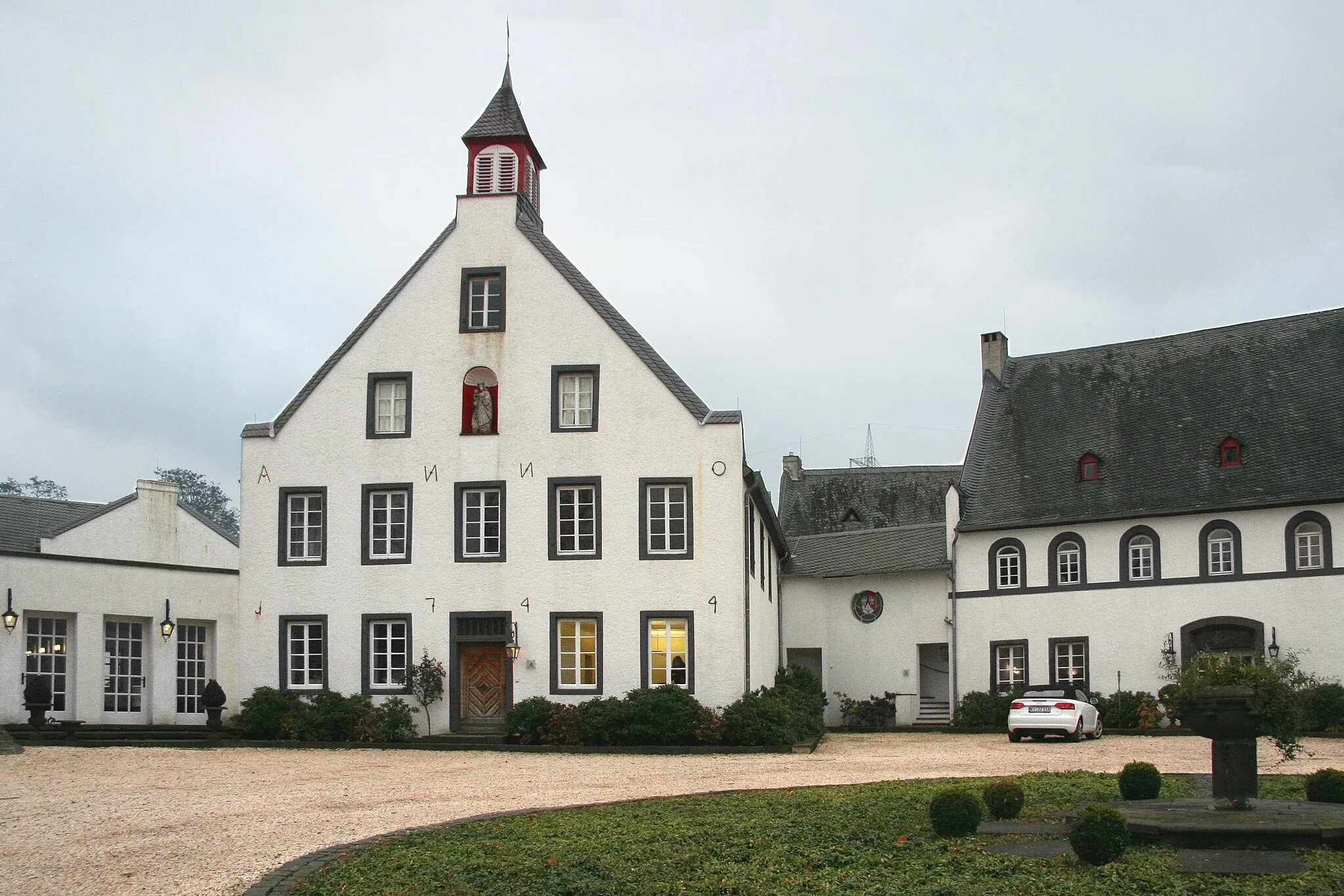
Start: Simmern Village centerHillscheid: Cycling Paradise in Koblenz, Germany
Hillscheid, situated in Koblenz, Germany, offers great cycling opportunities for both road and gravel cyclists. The locality features diverse terrain, including challenging climbs and scenic valleys, providing cyclists with exciting rides and breathtaking views. Hillscheid is located near the famous Rhine River, offering picturesque cycling routes along the riverbanks. Additionally, the area boasts several well-known climbs, such as the Ruppertsklamm, attracting cyclists looking for a thrilling ascent. With its stunning landscapes and cycling-friendly infrastructure, Hillscheid is a perfect destination for an unforgettable cycling adventure.7 km
7 km
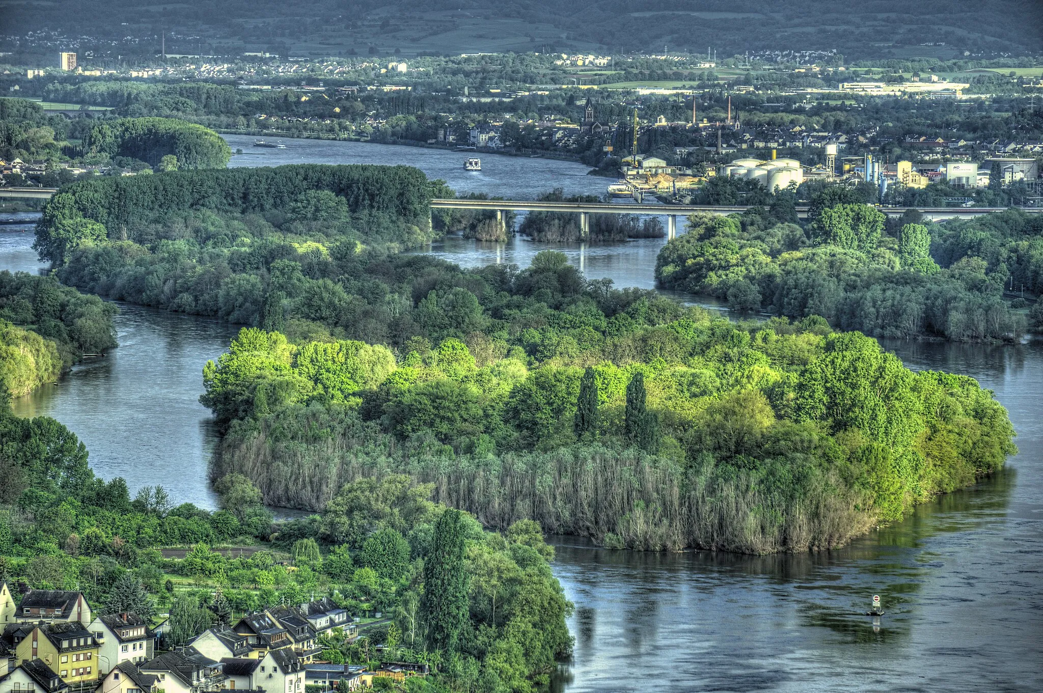
Deutsches EckViewpointVisit Deutsches Eck, where the Moselle and Rhine rivers meet, and learn about its historical significance.
10 km
10 km
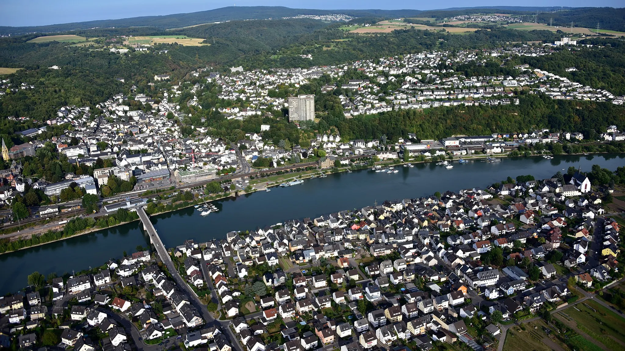
KoblenzCityExplore Koblenz, a city brimming with fascinating history, museums, and architectural marvels.
21 km
21 km
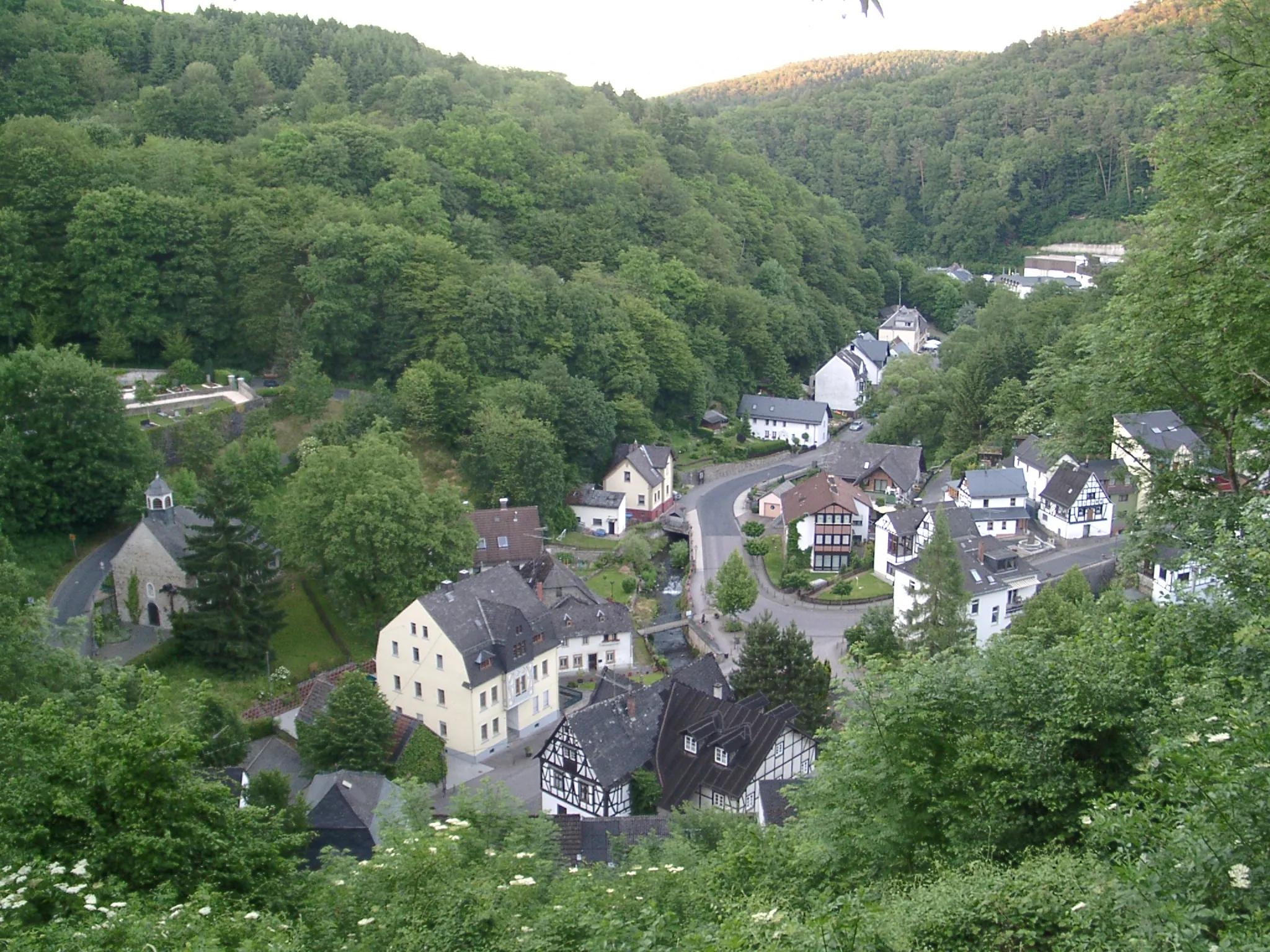
WolkenVillagePass through Wolken and admire its beautiful natural landscapes.
25 km
25 km
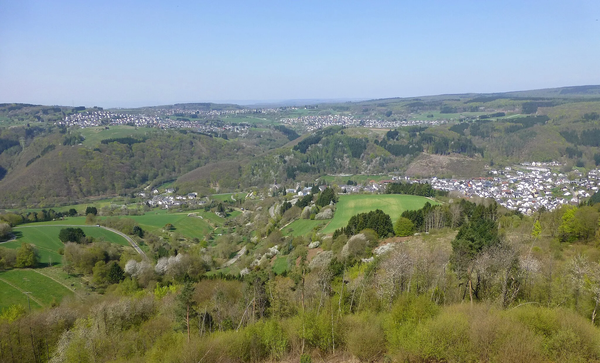
Karmelenberg372 mPeakCycle up Karmelenberg and enjoy panoramic views of the surrounding countryside.
42 km
42 km
BellVillageMake a stop at Bell and explore the charming village with its idyllic atmosphere.
45 km
45 km
Gänsehals575 mPeakAdmire the scenic beauty of Gänsehals, a natural reserve teeming with wildlife.
66 km
66 km
Bad BreisigTownVisit Bad Breisig and relax in its thermal baths while enjoying the beautiful river views.
67 km
67 km
Augustenhöhe207 mPeakClimb up Augustenhöhe and reward yourself with breathtaking views over the Rhine valley.
76 km
76 km
KrahnenbergViewpointDiscover Krahnenberg and learn about its fascinating history and medieval watchtower.
77 km
77 km
AndernachTownExplore Andernach, a town known for its historical buildings, culture, and vibrant atmosphere.
94 km
94 km
WeitersburgVillageStop by Weitersburg and enjoy the peaceful ambiance of this charming village.
96 km
96 km
Kaiser-Friedrich-TurmViewpointEnd your journey at the Kaiser-Friedrich-Turm and be enchanted by breathtaking views over the region.
101 km
101 km
Finish: Simmern Village centerHillscheid: Cycling Paradise in Koblenz, Germany
Cycling routes from Hillscheid:
Gravel Adventure through Scenic Landscapes Scenic Gravel Route to Vallendar Road Adventure to Eitelborn Gravel Offroad Adventure Road Route to Conquer the Hills The Hillscheid Gravel Adventure The Westerwald Challenge The Lahn Valley Gravel Exploration Road Journey to Historic Koblenz The Wiedtal Loop
Cycling routes nearby: