Gravel Adventure: Womrather Höhe and Rhaunen
A gravel cycling route starting from Hochstetten-Dhaun
Embark on an adrenaline-pumping gravel adventure through Womrather Höhe and Rhaunen
Map
Satisfy your craving for adventure with this thrilling gravel route that takes you through challenging terrains and stunning landscapes. The highlight of the journey is Womrather Höhe, offering breathtaking views that make the effort worthwhile. Overall, this route promises an epic gravel experience with ample opportunities to push your limits.
gravel
55 km
1107 m
Savage
Route profile
Highlights on the route
0 km
0 km
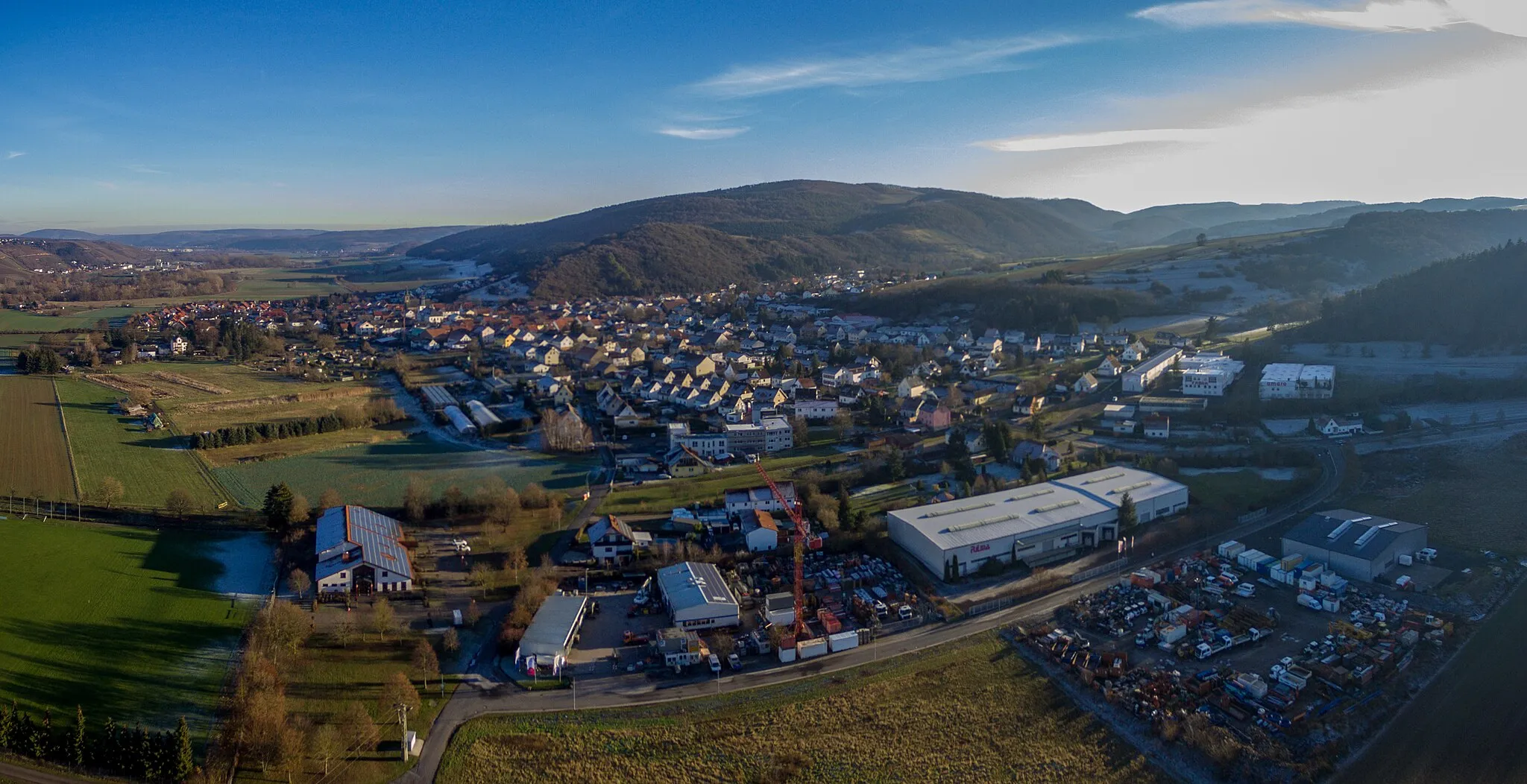
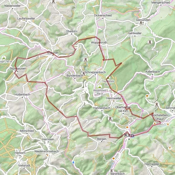
Start: Hochstetten-Dhaun Village centerHochstetten-Dhaun: Epic climbs and breathtaking views in Hochstetten-Dhaun
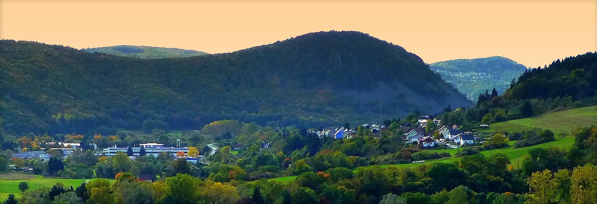
Hochstetten-Dhaun, located in Koblenz, Germany, provides a thrilling cycling experience for enthusiasts. The locality offers a mix of challenging road and gravel routes through its scenic landscapes. The well-known Donnersberg, the highest peak in the Palatinate region, is a favorite for cyclists looking for a demanding climb and panoramic views. With its combination of challenging terrains and natural beauty, Hochstetten-Dhaun attracts dedicated cyclists seeking an exhilarating ride.1 km
1 km
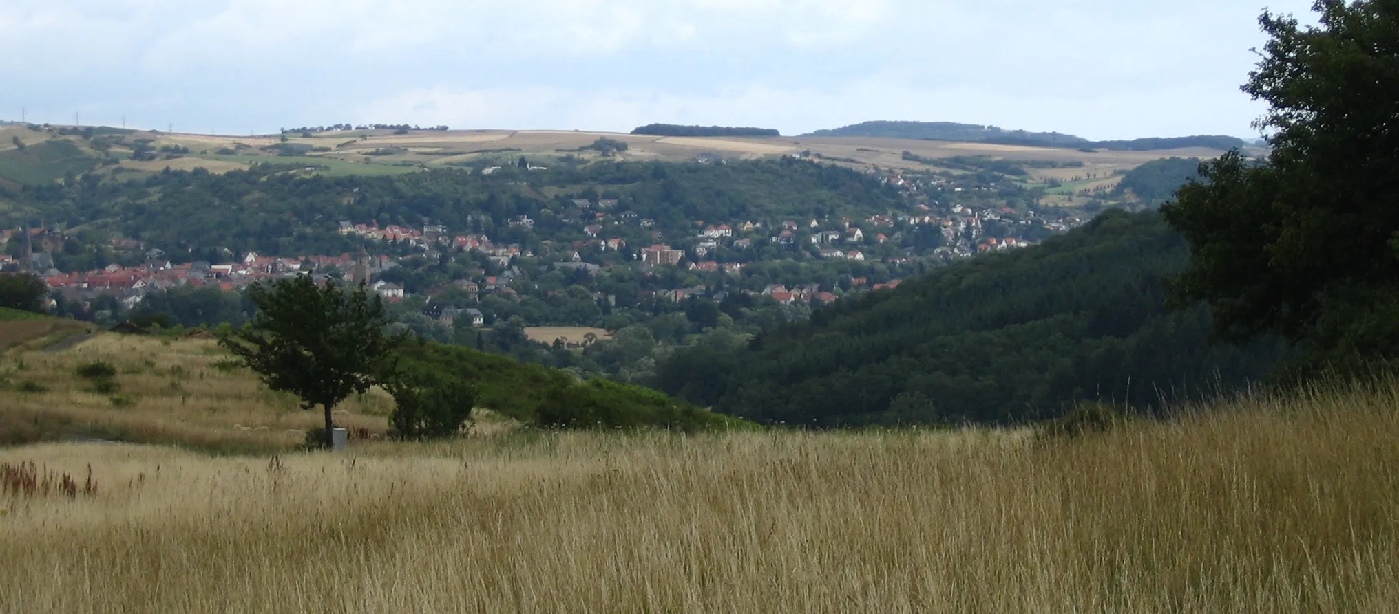
Hellberg365 mPeakHellberg is a peaceful village surrounded by lush forests, perfect for a moment of tranquility during your gravel adventure.
4 km
4 km
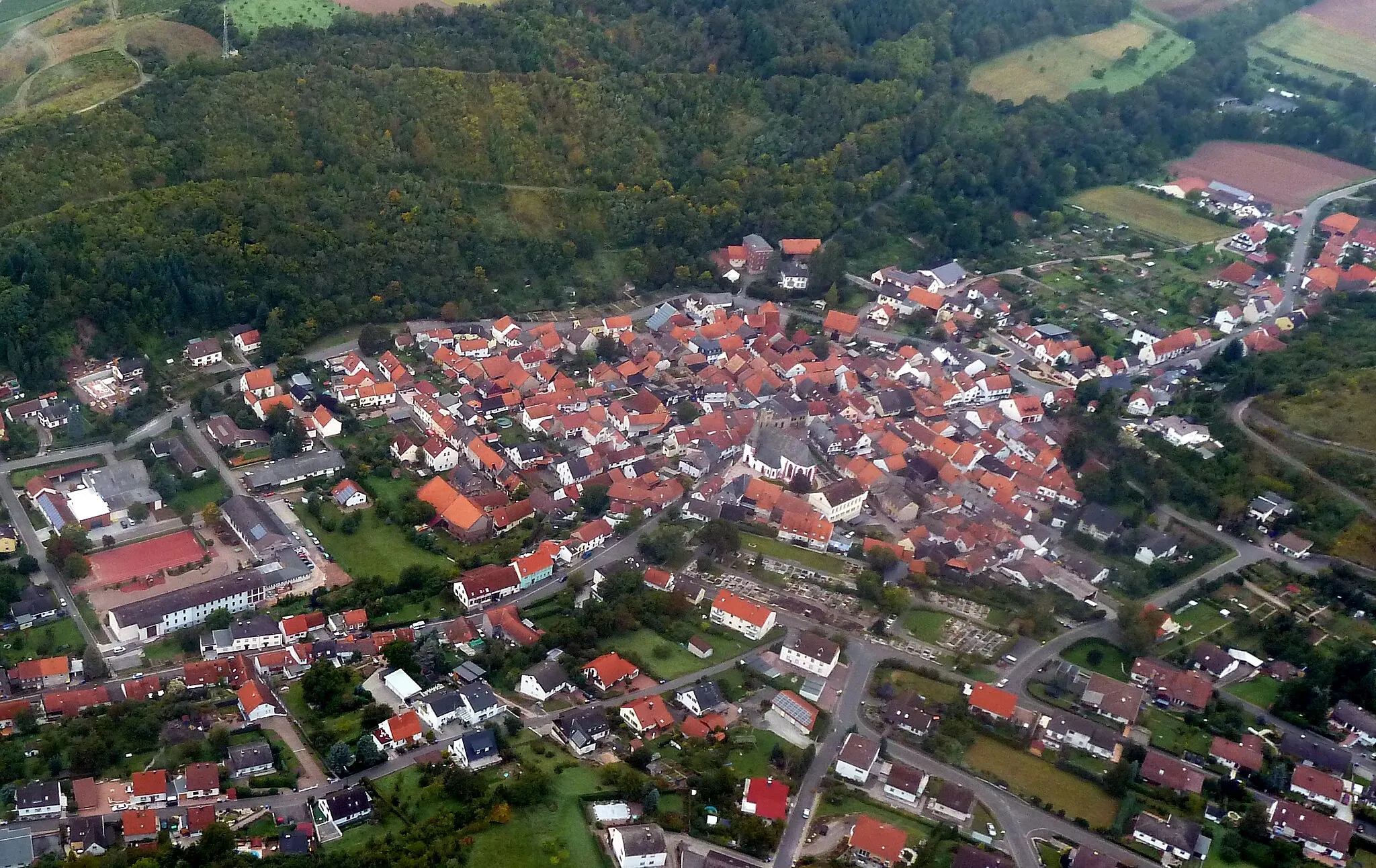
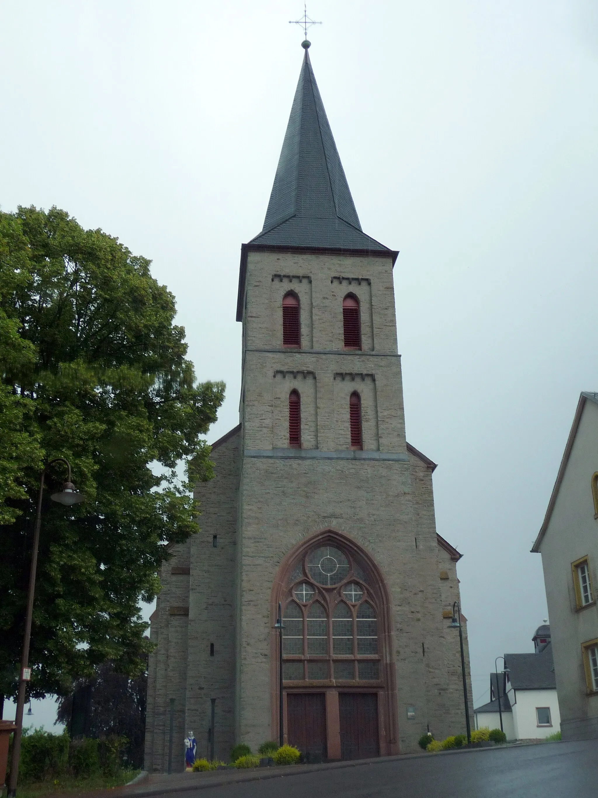
KirnTownKirn is a historic town with a preserved old town center, offering a glimpse into its rich past as you ride through its cobblestone streets.
15 km
15 km
WickenrodtVillageWickenrodt is a charming village nestled amidst green meadows, serving as a great location for a refreshing break before tackling more challenging terrains.
30 km
30 km
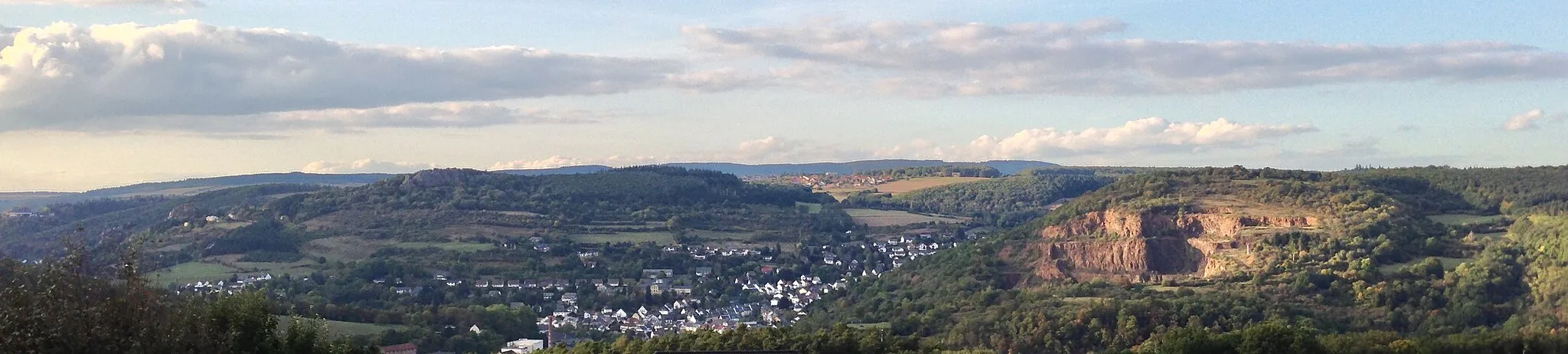
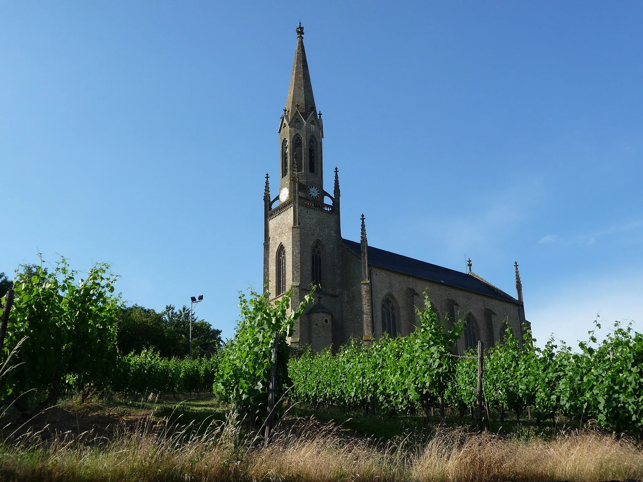
RhaunenVillageRhaunen is a small town known for its picturesque surroundings and traditional half-timbered houses, giving you a taste of the region's rural charm.
31 km
31 km
WartenbergViewpointWartenberg is a hill that rewards you with panoramic views of the surrounding countryside, making it an ideal spot to take a breather and enjoy lunch.
38 km
38 km
WoppenrothVillageWoppenroth is a tranquil village with idyllic landscapes, providing a serene backdrop as you cycle through.
43 km
43 km
Womrather Höhe596 mPeakWomrather Höhe is the highest point in the area, offering majestic views of the Hunsrück region and a thrilling descent for seasoned gravel riders.
55 km
55 km
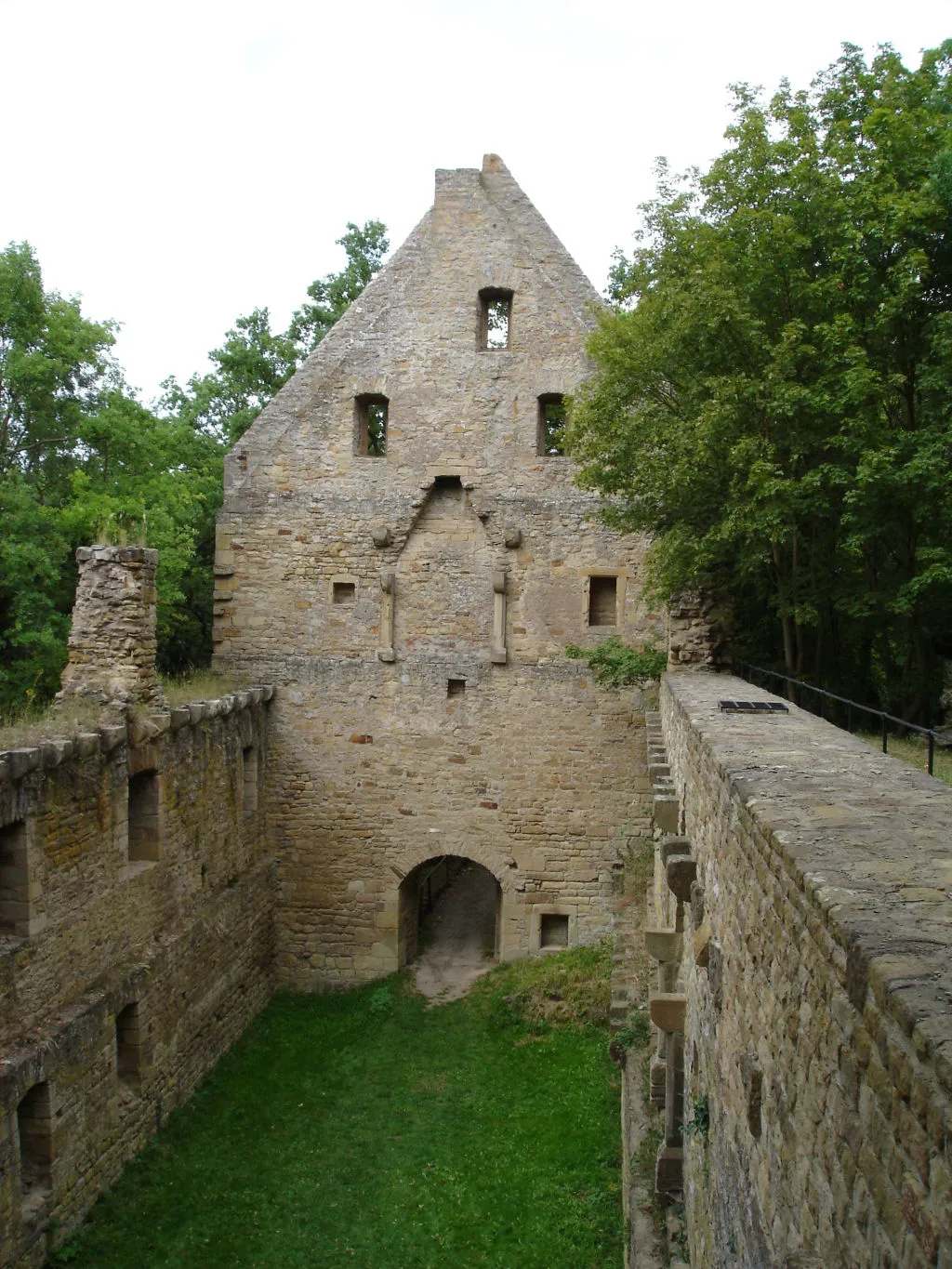
Hochstetten-DhaunVillageStart and end your gravel adventure in Hochstetten-Dhaun, a historic town with a stunning castle that's worth exploring before embarking on your adrenaline-pumping ride.
55 km
55 km
Finish: Hochstetten-Dhaun Village centerHochstetten-Dhaun: Epic climbs and breathtaking views in Hochstetten-Dhaun
Cycling routes from Hochstetten-Dhaun:
Seesbach and the Historical Burgsponheim Road Off the Beaten Path: Exploring Idar-Oberstein Gravel Adventure: Womrather Höhe and Rhaunen Short and Sweet: Limbacher Höhe Loop Challenge and Beauty: Alteburg and Horbach The Hill Legend Breathtaking Views Off the Beaten Path Gravel Adventure Road Cycling Adventure Hochstetten-Dhaun Gravel Adventure
Cycling routes nearby: