Hochstetten-Dhaun Gravel Adventure
A gravel cycling route starting from Hochstetten-Dhaun
Get ready for an epic gravel adventure through beautiful landscapes
Map
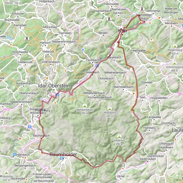
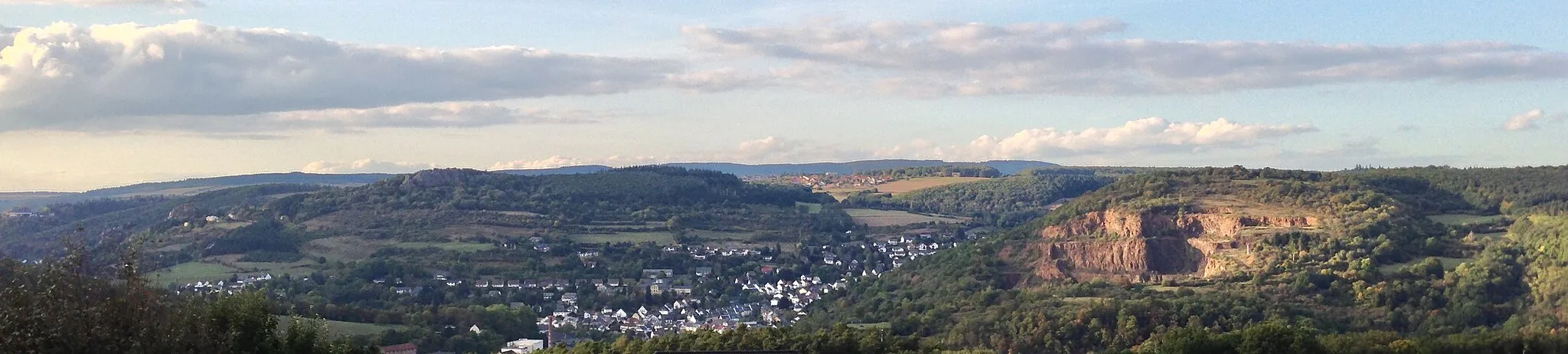
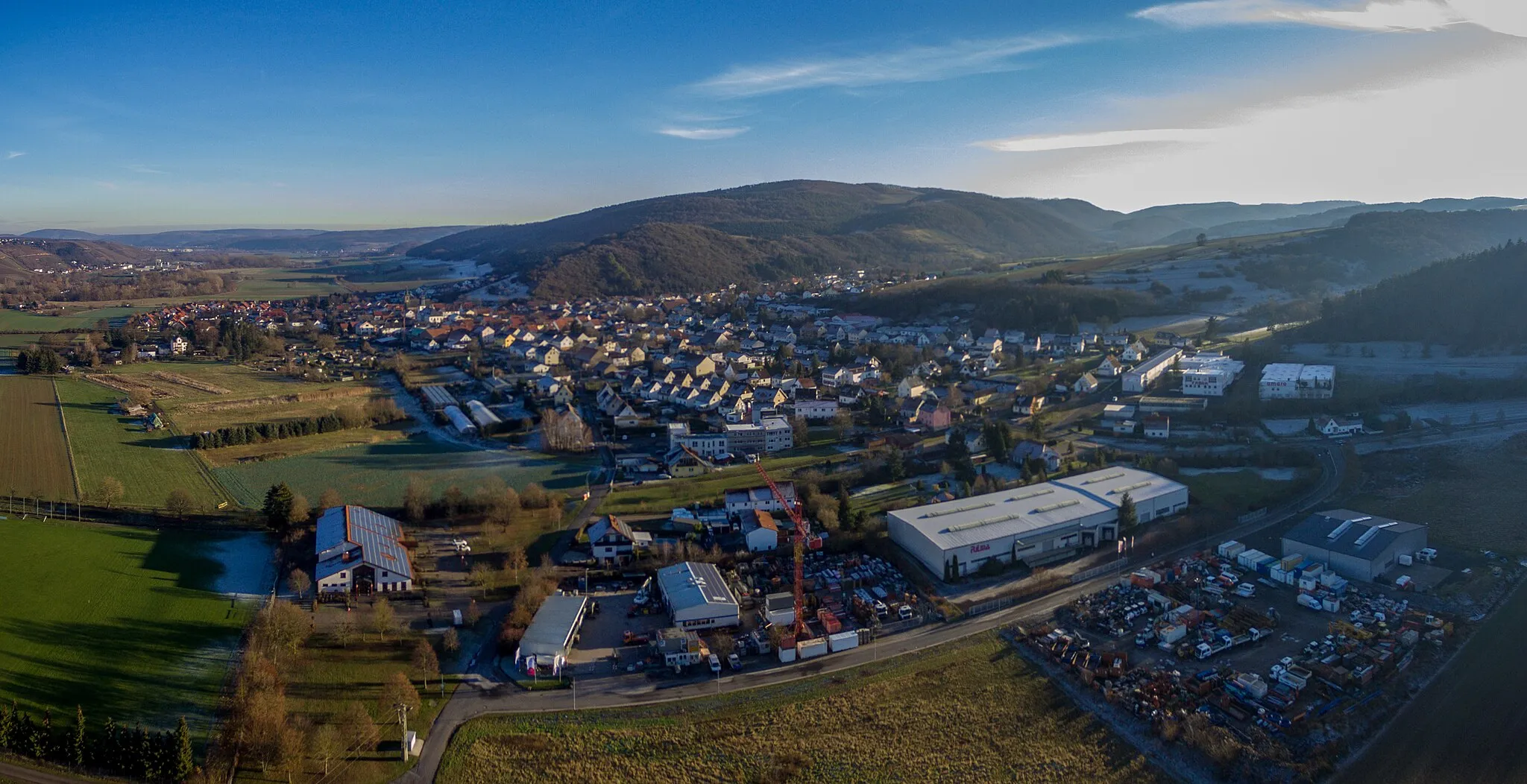
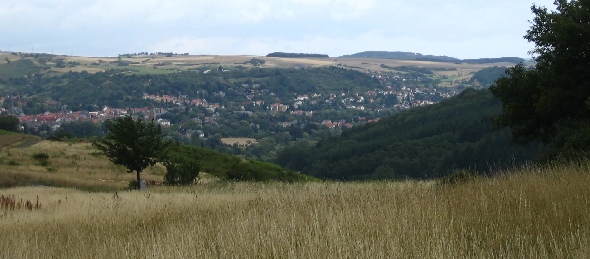
Embark on a challenging and scenic gravel ride near Hochstetten-Dhaun in Koblenz, Germany. This 86-kilometer route offers a variety of terrains and stunning views. Experience steep climbs and exhilarating descents as you explore the surrounding countryside. Take in the natural beauty of the Hellberg, Kirrweiler, Windfang, Baumholder, Bergfried, and Kirn highlights along the way.
gravel
86 km
1657 m
Tough
Route profile
Highlights on the route
0 km
0 km
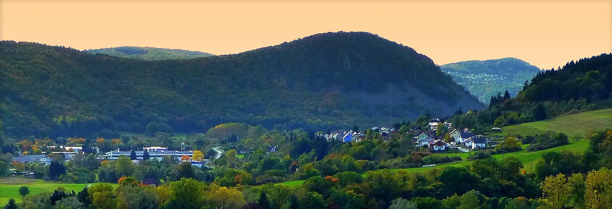
Start: Hochstetten-Dhaun Village centerHochstetten-Dhaun: Epic climbs and breathtaking views in Hochstetten-Dhaun
Hochstetten-Dhaun, located in Koblenz, Germany, provides a thrilling cycling experience for enthusiasts. The locality offers a mix of challenging road and gravel routes through its scenic landscapes. The well-known Donnersberg, the highest peak in the Palatinate region, is a favorite for cyclists looking for a demanding climb and panoramic views. With its combination of challenging terrains and natural beauty, Hochstetten-Dhaun attracts dedicated cyclists seeking an exhilarating ride.1 km
1 km
Hellberg365 mPeakAs you pass through the Hellberg area, be captivated by the lush greenery and enchanting forests. Take a moment to appreciate the tranquility and panoramic views.
26 km
26 km
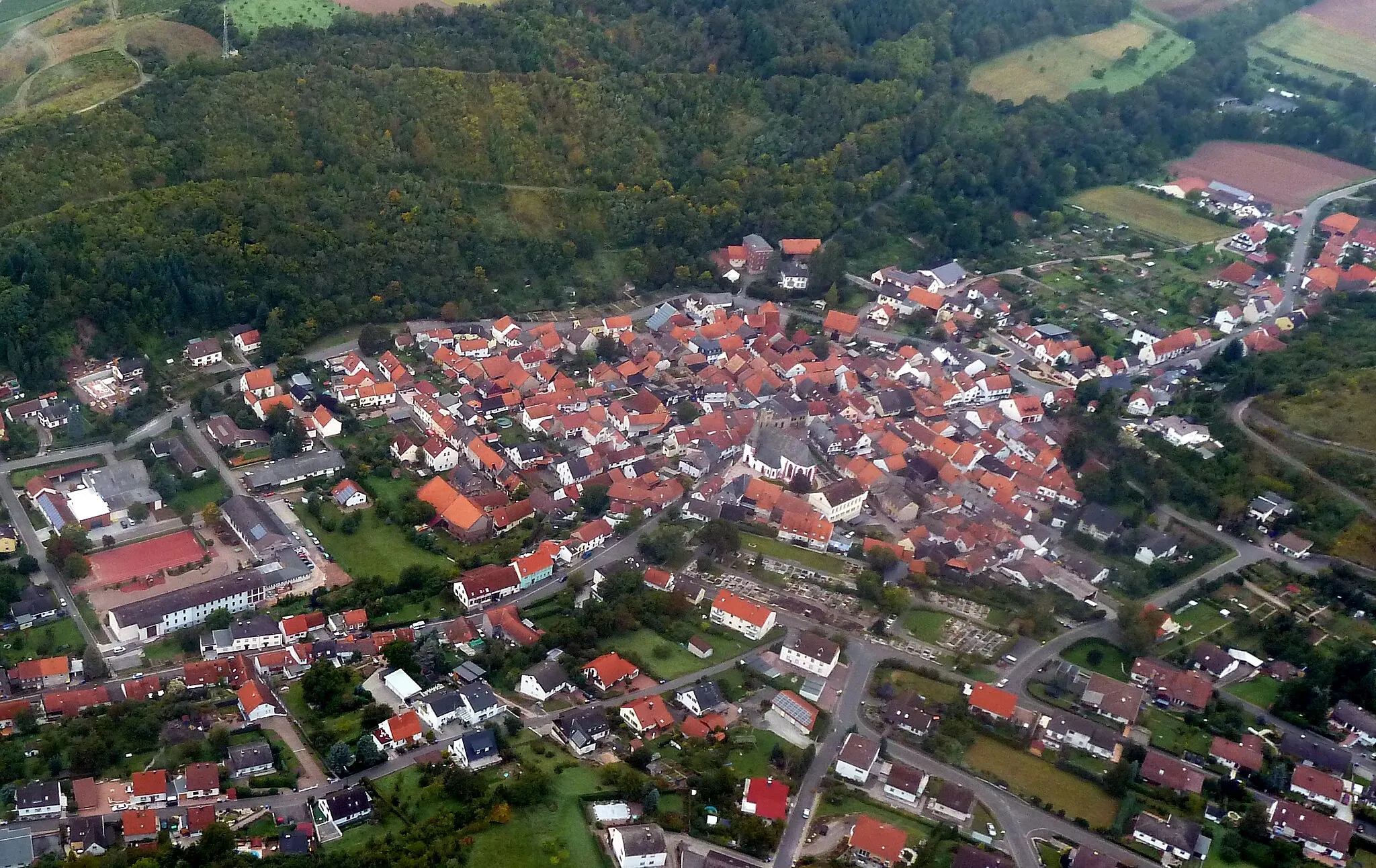
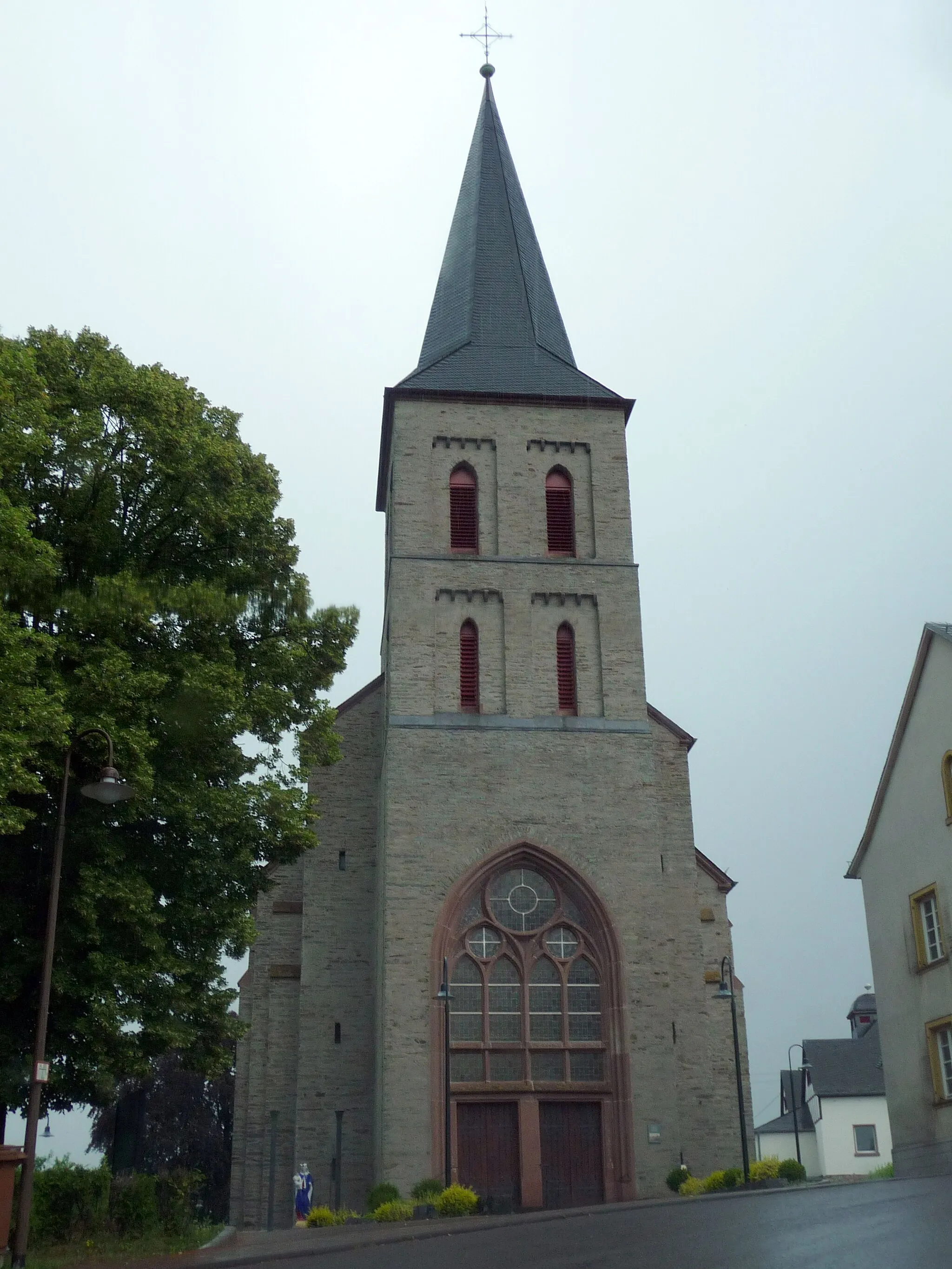
KirrweilerVillageIn the charming village of Kirrweiler, immerse yourself in the local culture and admire the traditional architecture. Stop by a local café and taste the regional specialties.
34 km
34 km
Windfang413 mPeakThe Windfang lookout point offers breathtaking vistas overlooking the rolling hills and valleys. Capture memorable photos and relish in the unspoiled beauty of the landscape.
43 km
43 km
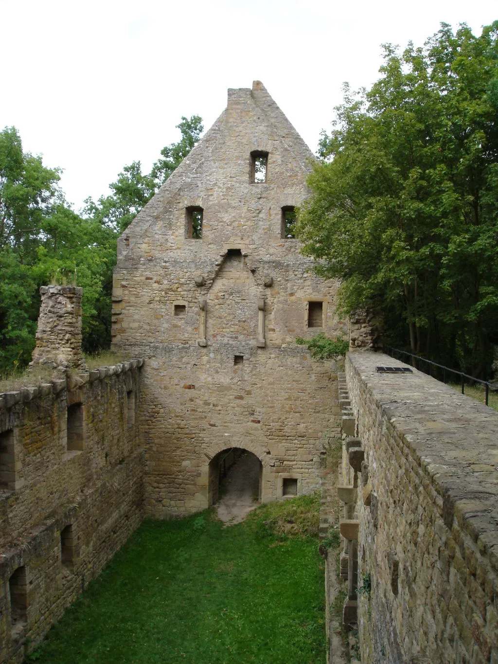
BaumholderTownBaumholder is known for its medieval charm and historic castle. Explore the impressive architectural details and learn about the rich history of the region.
53 km
53 km
BergfriedViewpointThe Bergfried is a majestic tower that stands tall amidst picturesque surroundings. Take a moment to climb to the top and enjoy stunning panoramic views.
79 km
79 km
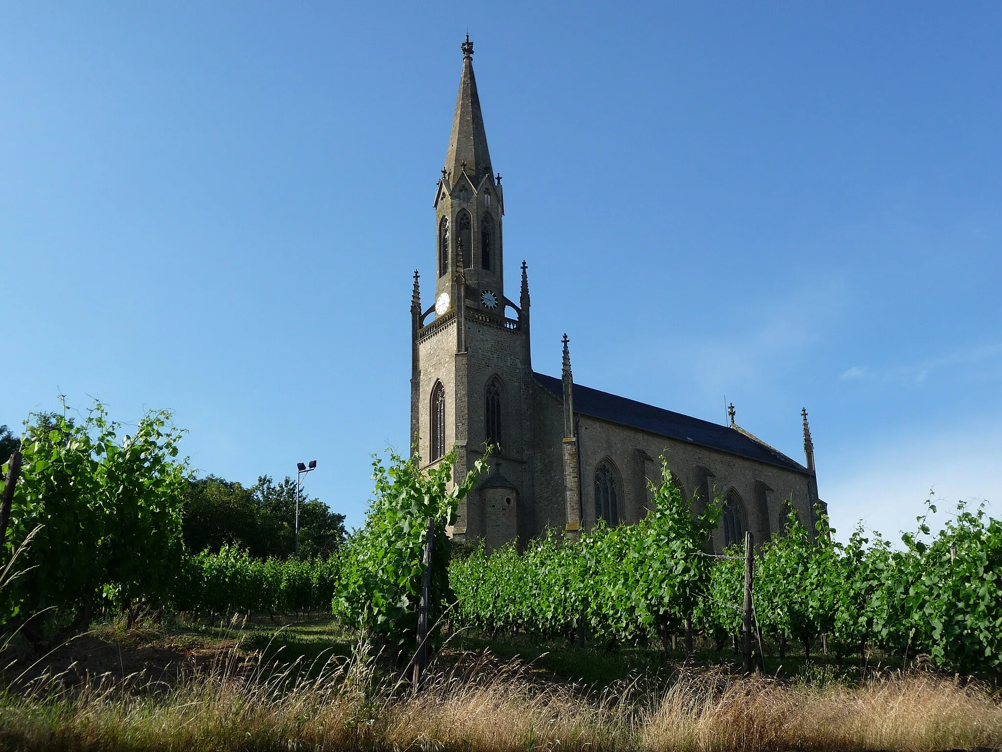
KirnTownAs you approach Kirn, you'll be greeted by quaint streets lined with colorful houses. Discover local artisan shops and enjoy the vibrant atmosphere of this delightful town.
86 km
86 km
Finish: Hochstetten-Dhaun Village centerHochstetten-Dhaun: Epic climbs and breathtaking views in Hochstetten-Dhaun
Cycling routes from Hochstetten-Dhaun:
Seesbach and the Historical Burgsponheim Road Off the Beaten Path: Exploring Idar-Oberstein Gravel Adventure: Womrather Höhe and Rhaunen Short and Sweet: Limbacher Höhe Loop Challenge and Beauty: Alteburg and Horbach The Hill Legend Breathtaking Views Off the Beaten Path Gravel Adventure Road Cycling Adventure Hochstetten-Dhaun Gravel Adventure
Cycling routes nearby: