Breathtaking Views
A road cycling route starting from Hochstetten-Dhaun
Marvel at the stunning landscapes during this scenic 60km road cycling route.
Map
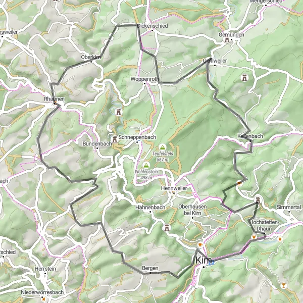
Prepare to be captivated by the natural beauty of the region on this 60km road cycling route starting from Hochstetten-Dhaun. With an ascent of 1090m, this route provides a balance between challenging climbs and rewarding descents. The highlight of the journey is the Hellberg, a hill that offers panoramic views of the surrounding countryside. Along the way, you'll also pass through picturesque towns like Kirn and Wickenrodt, where you can take a break and savor the local cuisine. Enjoy the tranquil atmosphere in Rhaunen, a charming village known for its well-preserved historic buildings. This route is ideal for cyclists looking to immerse themselves in nature and enjoy breathtaking views throughout the journey.
road
60 km
1090 m
Tough
Route profile
Highlights on the route
0 km
0 km
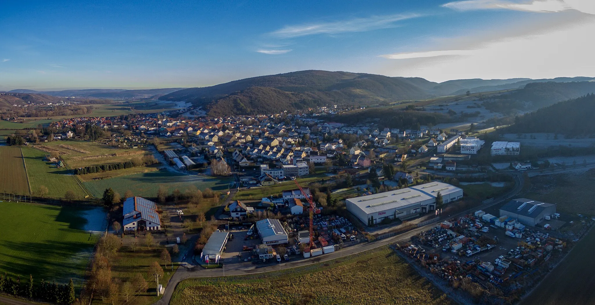
Start: Hochstetten-Dhaun Village centerHochstetten-Dhaun: Epic climbs and breathtaking views in Hochstetten-Dhaun
Hochstetten-Dhaun, located in Koblenz, Germany, provides a thrilling cycling experience for enthusiasts. The locality offers a mix of challenging road and gravel routes through its scenic landscapes. The well-known Donnersberg, the highest peak in the Palatinate region, is a favorite for cyclists looking for a demanding climb and panoramic views. With its combination of challenging terrains and natural beauty, Hochstetten-Dhaun attracts dedicated cyclists seeking an exhilarating ride.1 km
1 km
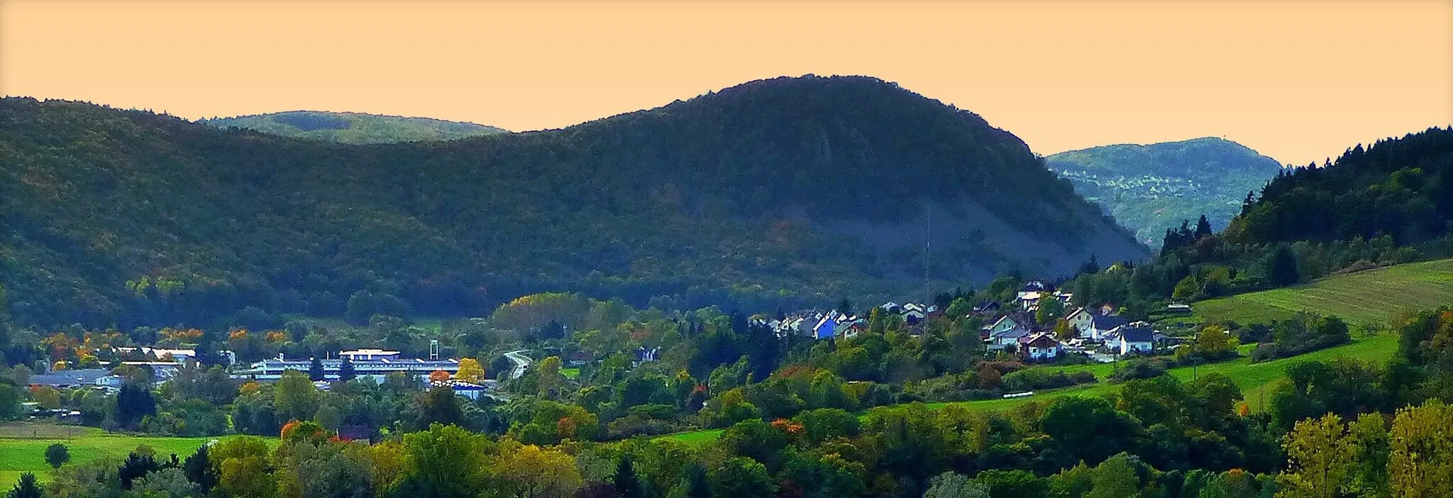
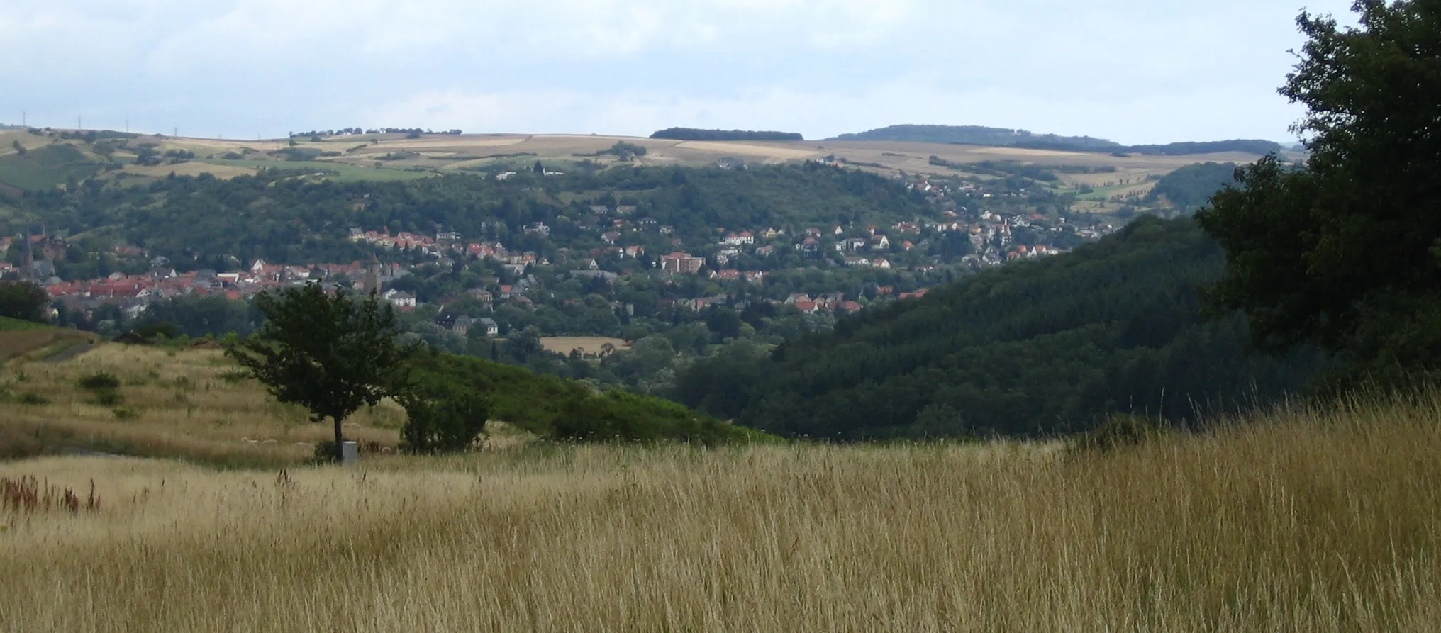
Hellberg365 mPeakHellberg offers stunning panoramic views, making it the perfect spot to pause and appreciate the beauty of the surroundings.
4 km
4 km
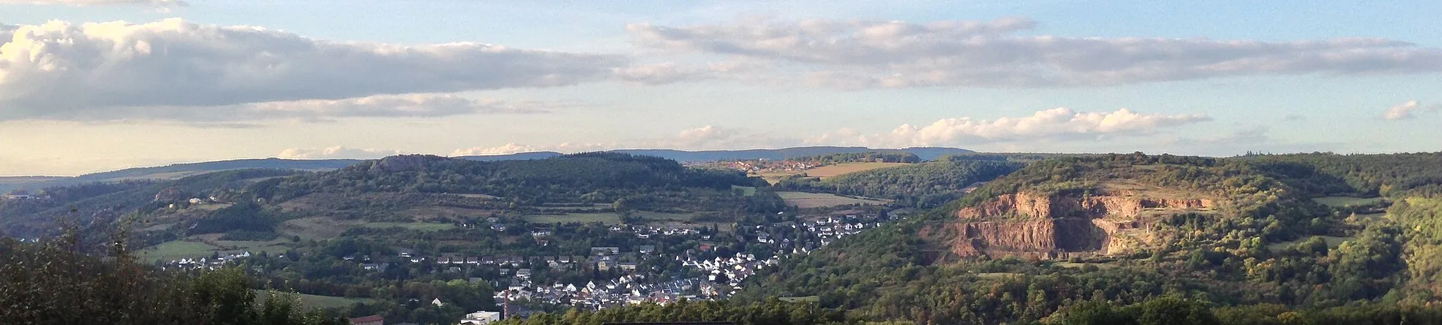
KirnTownKirn is a charming town with a delightful old town area full of narrow streets and traditional half-timbered houses.
16 km
16 km
WickenrodtVillageWickenrodt is a small village surrounded by lush green hills. Take a moment to relax and enjoy the tranquility of the countryside.
26 km
26 km
WartenbergViewpointWartenberg offers a peaceful retreat, with its serene lake and beautiful park, a perfect spot for a picnic.
26 km
26 km
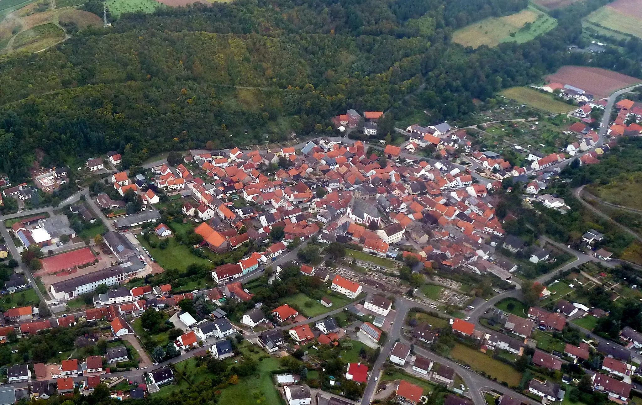
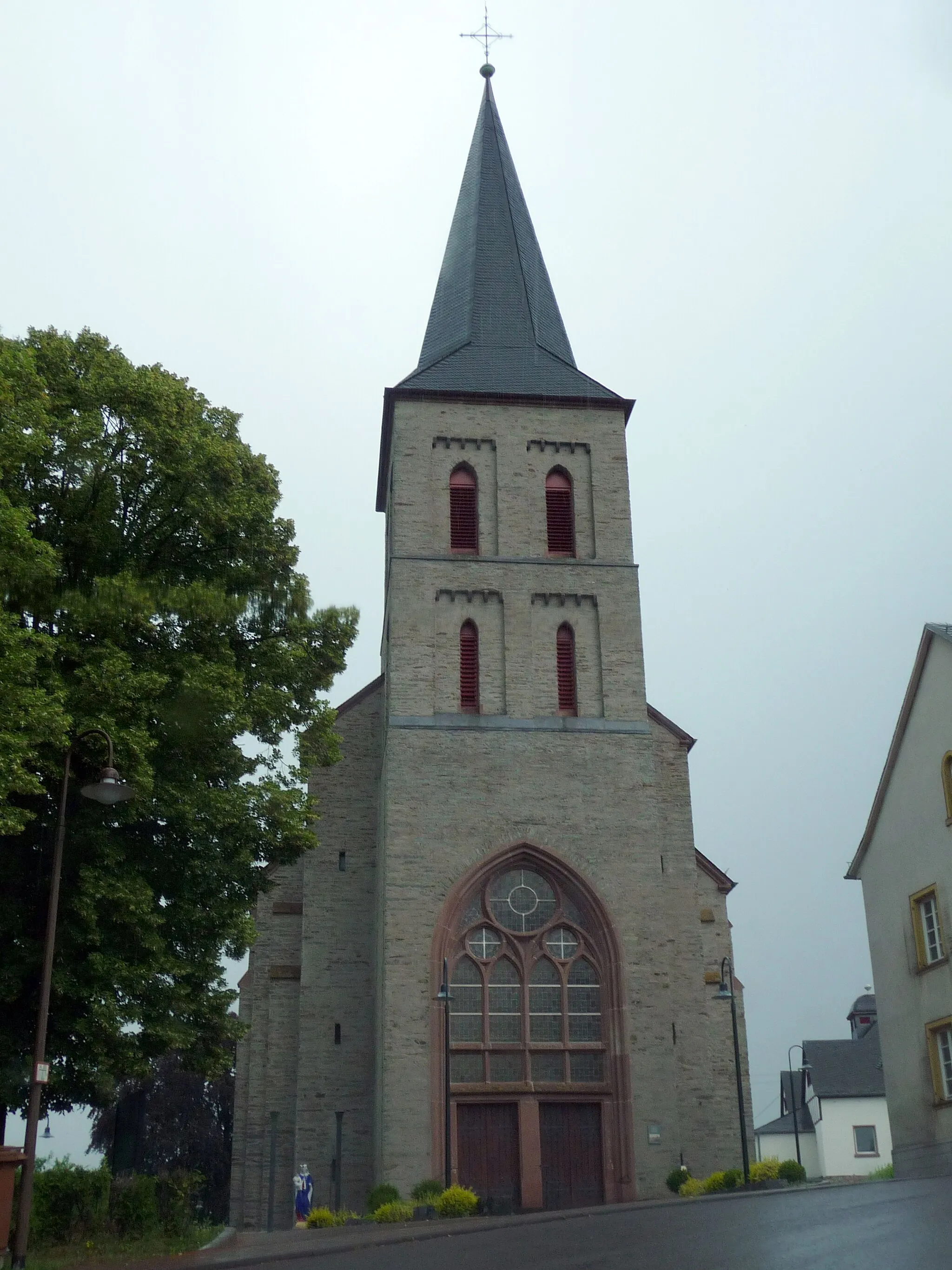
RhaunenVillageRhaunen is a historic village with well-preserved timber-framed houses. Take a stroll through its charming streets.
40 km
40 km
SchlierschiedVillageSchlierschied is a quaint village known for its traditional crafts. Explore local workshops and see artisans at work.
53 km
53 km
HeinzenbergVillageHeinzenberg is a hill with panoramic views of the surrounding countryside. Take a moment to soak in the beauty of the landscape.
57 km
57 km
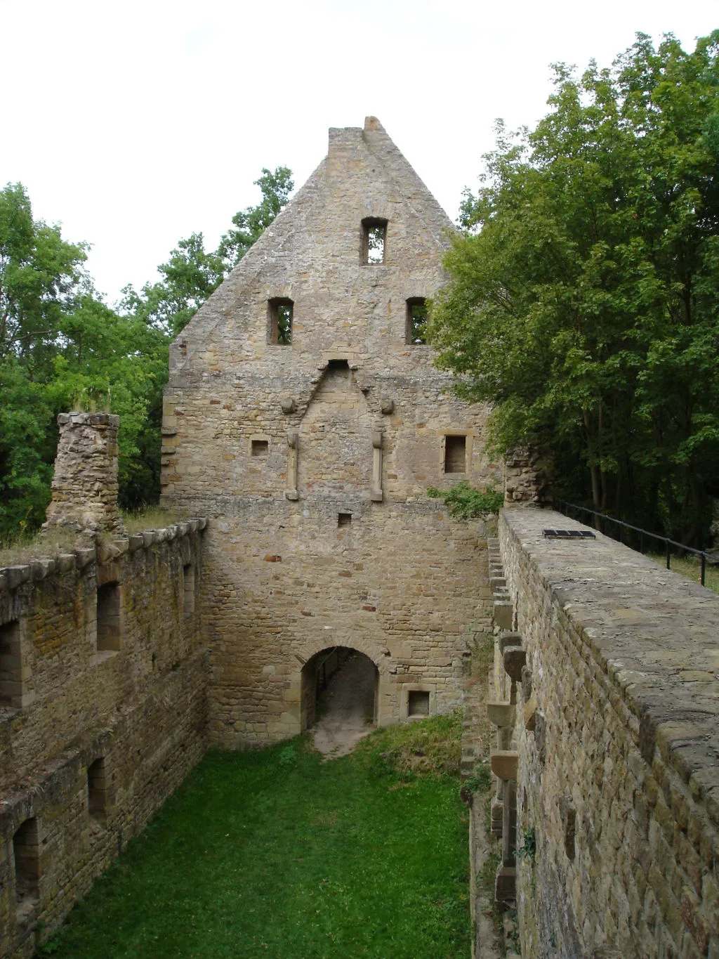
FalkensteinViewpointFalkenstein boasts a picturesque castle, dating back to the 12th century. Visit this historic landmark and learn about its fascinating history.
60 km
60 km
Finish: Hochstetten-Dhaun Village centerHochstetten-Dhaun: Epic climbs and breathtaking views in Hochstetten-Dhaun
Cycling routes from Hochstetten-Dhaun:
Seesbach and the Historical Burgsponheim Road Off the Beaten Path: Exploring Idar-Oberstein Gravel Adventure: Womrather Höhe and Rhaunen Short and Sweet: Limbacher Höhe Loop Challenge and Beauty: Alteburg and Horbach The Hill Legend Breathtaking Views Off the Beaten Path Gravel Adventure Road Cycling Adventure Hochstetten-Dhaun Gravel Adventure
Cycling routes nearby: