Seesbach and the Historical Burgsponheim Road
A road cycling route starting from Hochstetten-Dhaun
Cycle through charming villages to reach the medieval Burgsponheim
Map
This route takes you through picturesque villages and scenic landscapes, with the highlight being the medieval Burgsponheim. The climb is challenging but rewarding, providing stunning views of the surrounding countryside. Overall, the route offers a mix of cultural and natural attractions.
road
62 km
788 m
Tough
Route profile
Highlights on the route
0 km
0 km
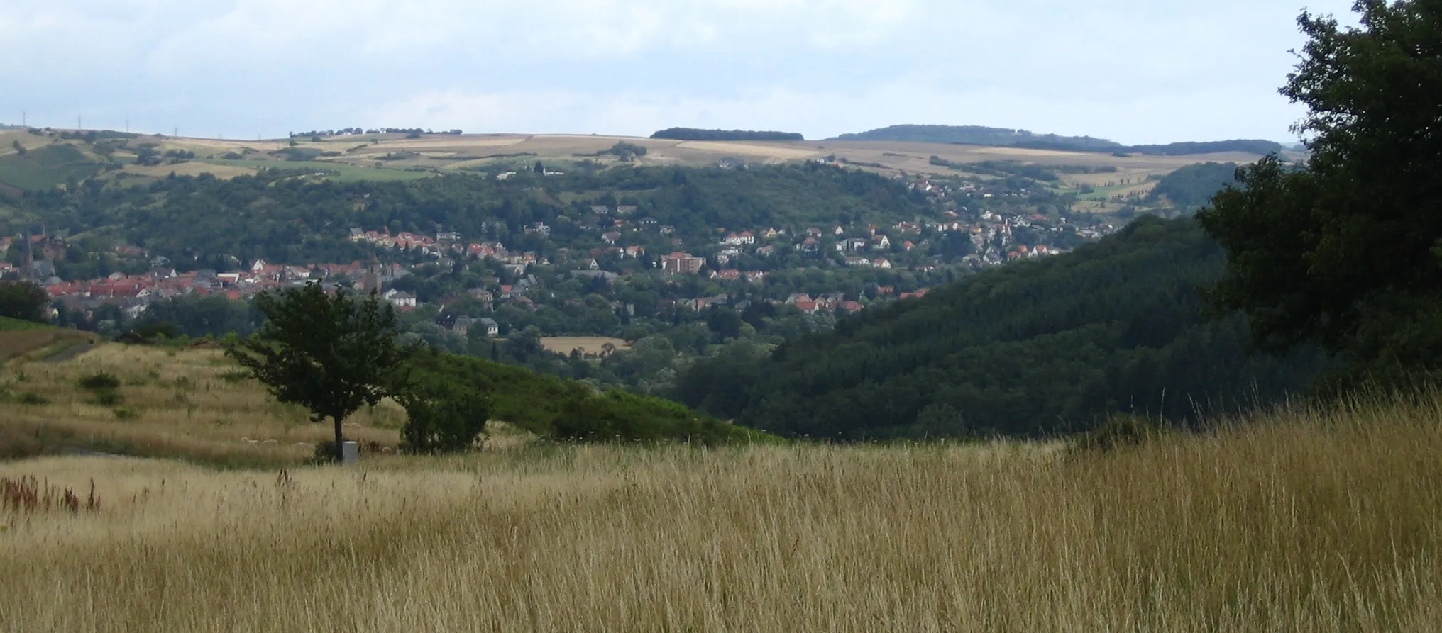
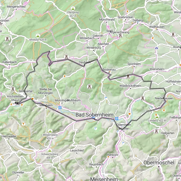
Start: Hochstetten-Dhaun Village centerHochstetten-Dhaun: Epic climbs and breathtaking views in Hochstetten-Dhaun
Hochstetten-Dhaun, located in Koblenz, Germany, provides a thrilling cycling experience for enthusiasts. The locality offers a mix of challenging road and gravel routes through its scenic landscapes. The well-known Donnersberg, the highest peak in the Palatinate region, is a favorite for cyclists looking for a demanding climb and panoramic views. With its combination of challenging terrains and natural beauty, Hochstetten-Dhaun attracts dedicated cyclists seeking an exhilarating ride.7 km
7 km
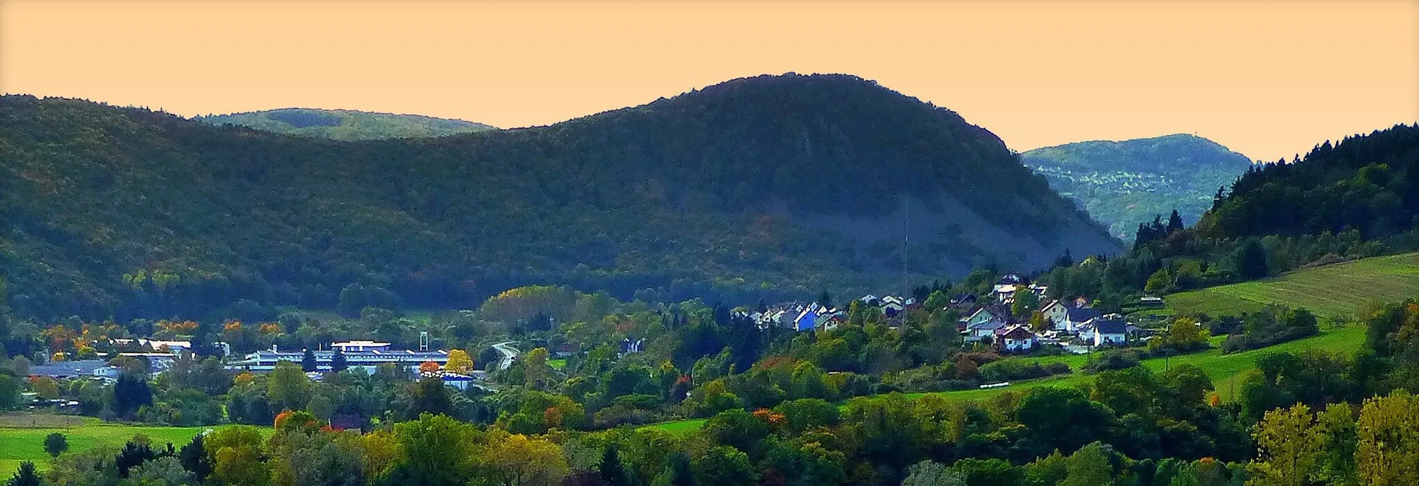
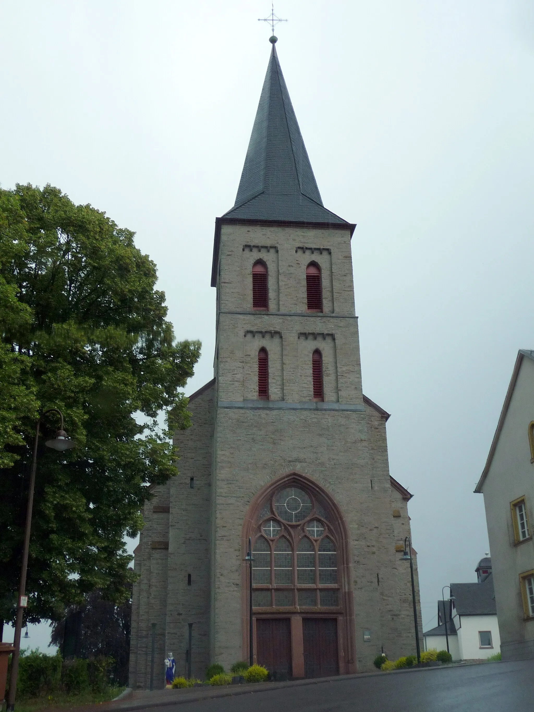
SeesbachVillageSeesbach is a quaint village known for its traditional half-timbered houses and peaceful atmosphere.
27 km
27 km
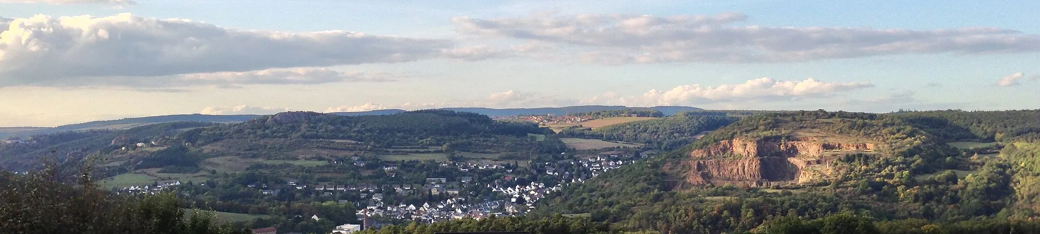
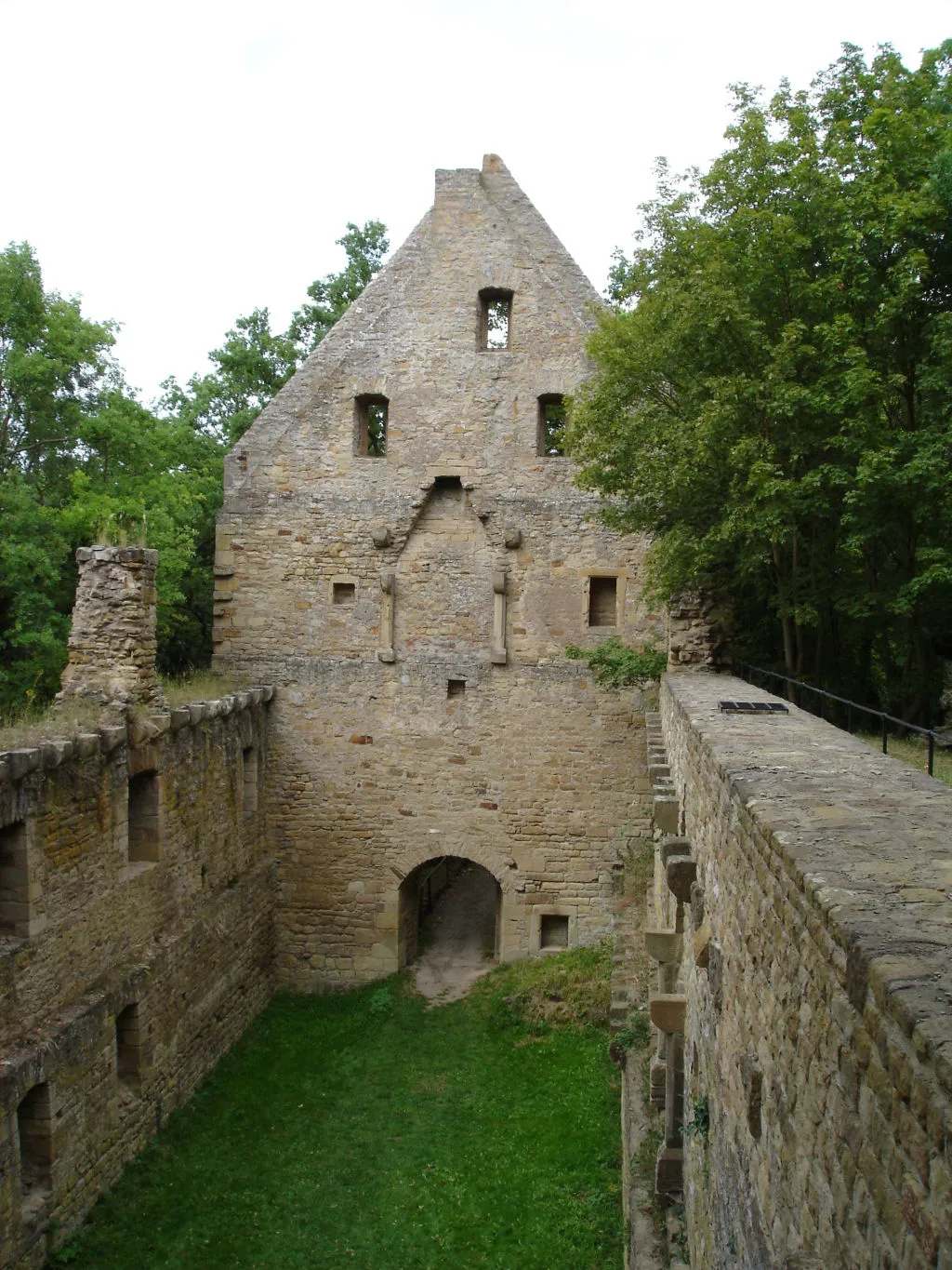
BurgsponheimVillageDiscover the historical Burgsponheim and learn about its intriguing past as you cycle through the scenic countryside.
27 km
27 km
Welschberg336 mPeakWelschberg offers breathtaking views of the Nahe River valley, making it a perfect spot to take a break and enjoy the scenery.
36 km
36 km
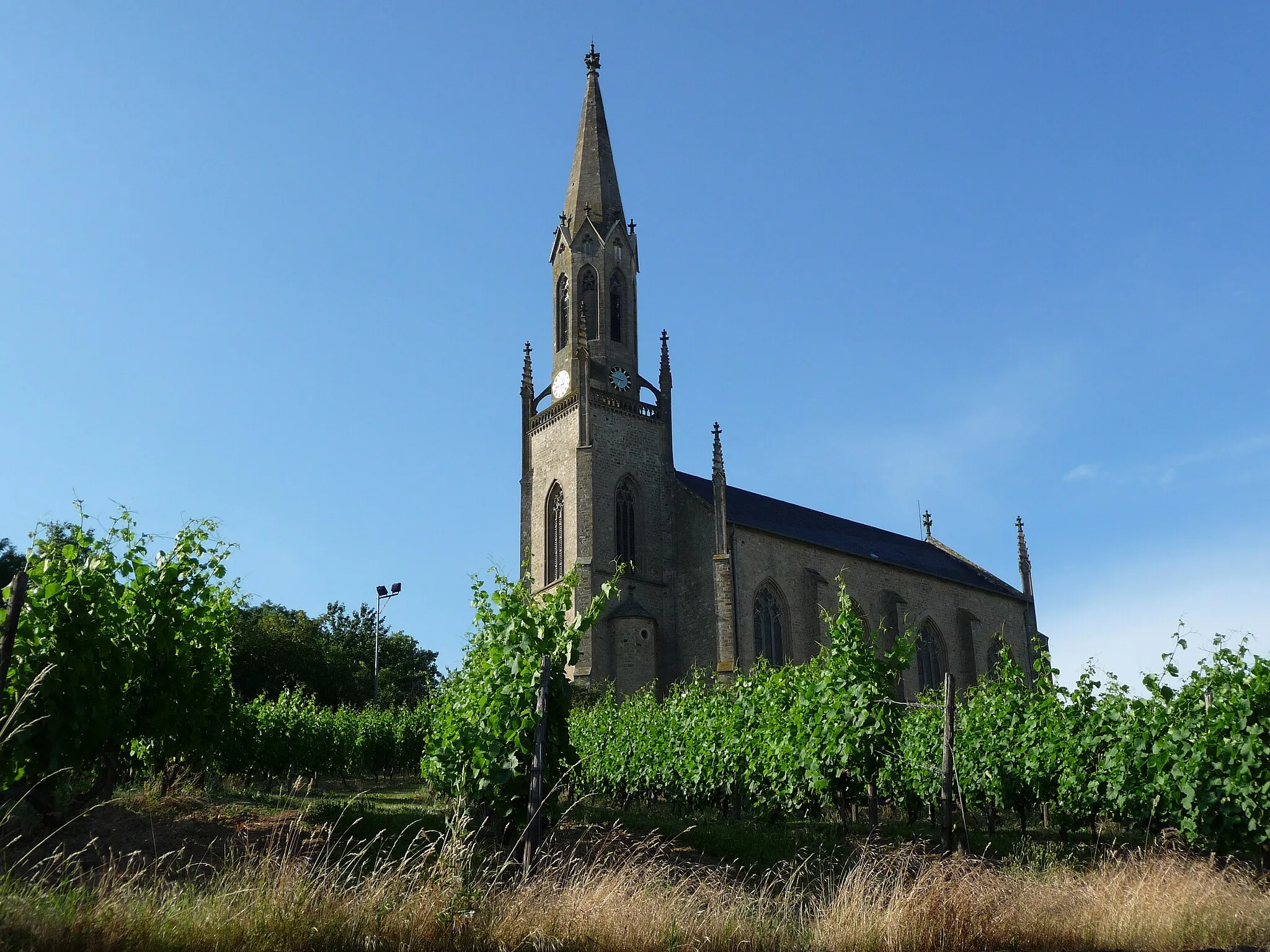
NiederhausenVillageExplore the village of Niederhausen and its charming vineyards, known for producing high-quality Riesling wines.
37 km
37 km
Knopf297 mPeakKnopf is a picturesque hamlet with traditional timber-framed houses and a tranquil atmosphere, ideal for a restful break during your ride.
44 km
44 km
Humberg282 mPeakHumberg is a hill offering panoramic vistas of the entire region, a must-stop for photography enthusiasts.
50 km
50 km
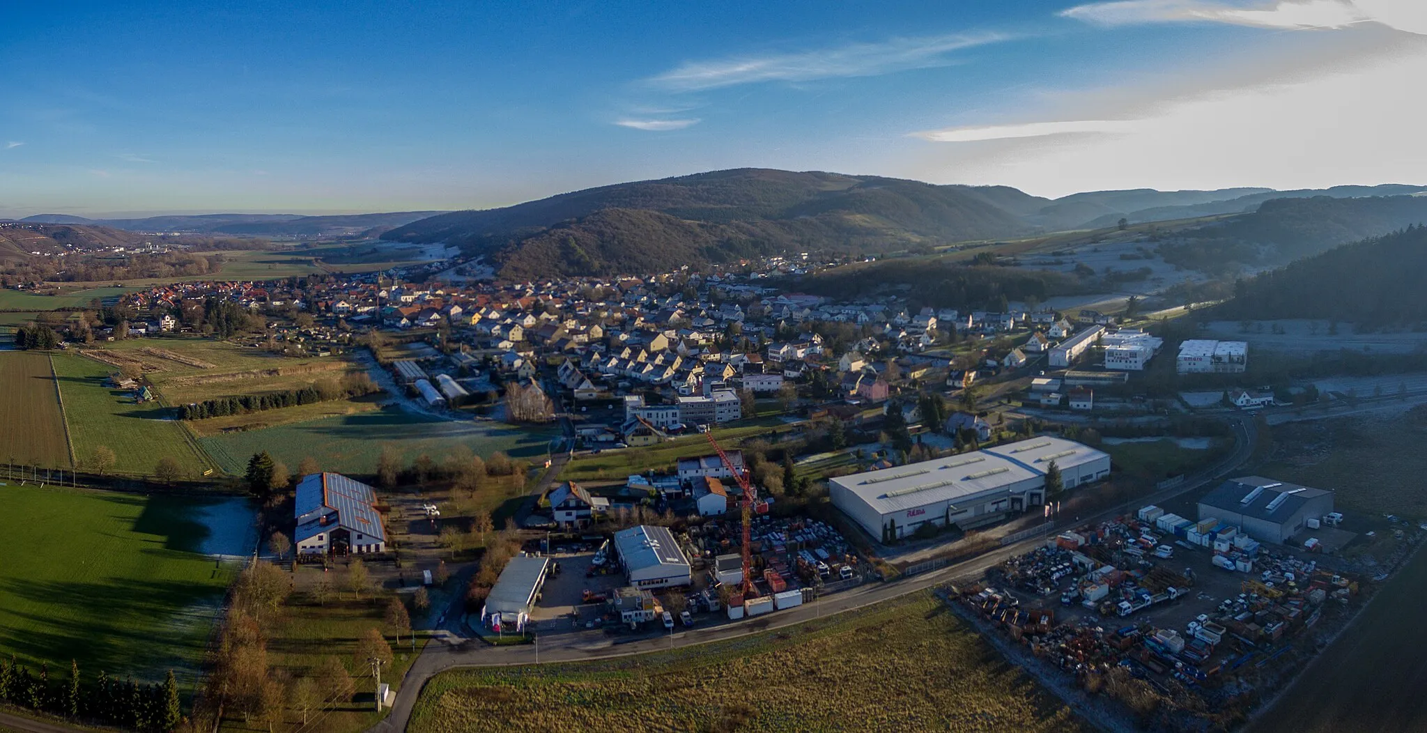
Bad SobernheimTownBad Sobernheim is a spa town where you can rejuvenate after a long ride, take a dip in the thermal baths or explore the vibrant town center.
59 km
59 km
MartinsteinVillage ViewpointMartinstein is a small village known for its charming rural landscapes, offering a peaceful backdrop for your cycling adventure.
62 km
62 km
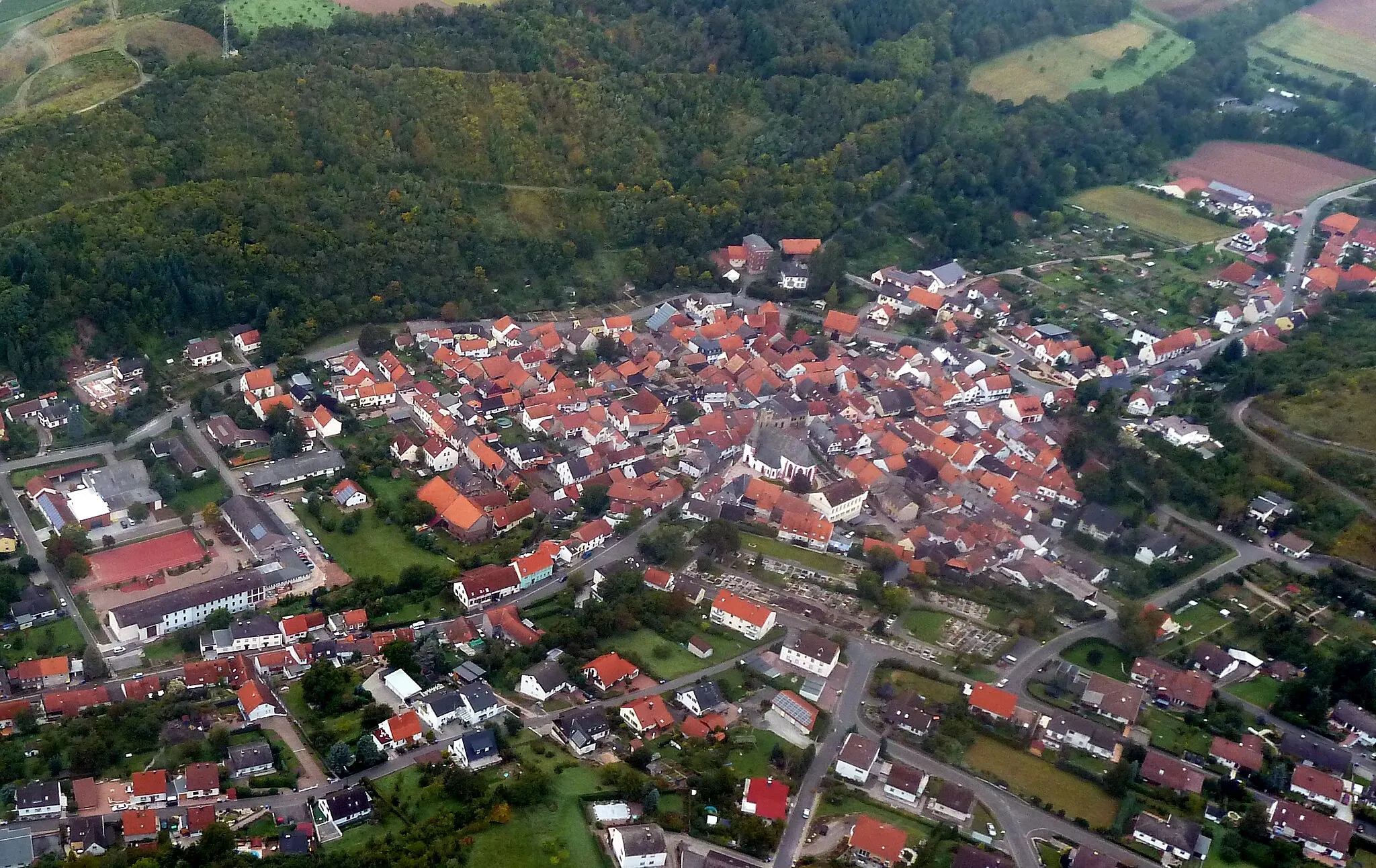
Hochstetten-DhaunVillageStart and end your journey in Hochstetten-Dhaun, a historic town with a stunning castle that's worth a visit before you hit the road.
62 km
62 km
Finish: Hochstetten-Dhaun Village centerHochstetten-Dhaun: Epic climbs and breathtaking views in Hochstetten-Dhaun
Cycling routes from Hochstetten-Dhaun:
Seesbach and the Historical Burgsponheim Road Off the Beaten Path: Exploring Idar-Oberstein Gravel Adventure: Womrather Höhe and Rhaunen Short and Sweet: Limbacher Höhe Loop Challenge and Beauty: Alteburg and Horbach The Hill Legend Breathtaking Views Off the Beaten Path Gravel Adventure Road Cycling Adventure Hochstetten-Dhaun Gravel Adventure
Cycling routes nearby: