Road Cycling Adventure
A road cycling route starting from Hochstetten-Dhaun
Discover the beauty of Koblenz's countryside on this challenging road cycling route
Map
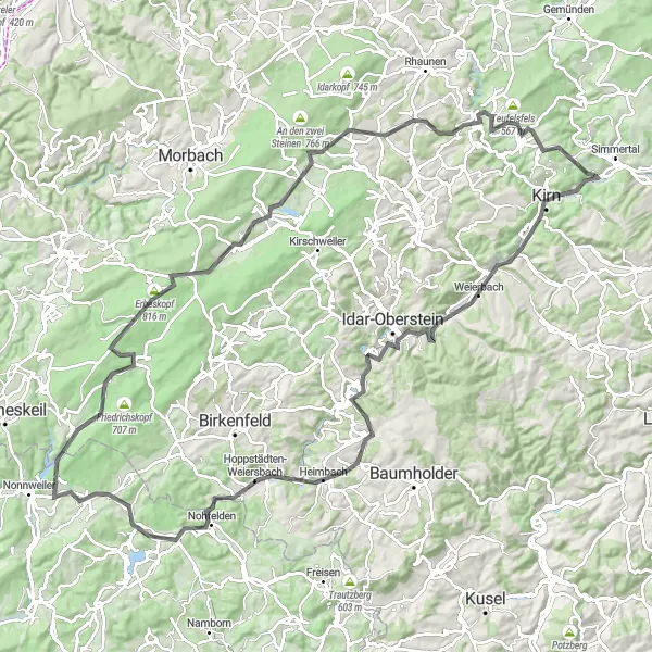
Embark on a road cycling adventure through the stunning countryside near Hochstetten-Dhaun. With a total ascent of 1810 meters and a distance of 124 kilometers, this route is perfect for well-trained amateur cyclists looking for a challenge. Along the way, you'll encounter picturesque villages, historic landmarks, and breathtaking landscapes.
road
124 km
1810 m
Tough
Route profile
Highlights on the route
0 km
0 km
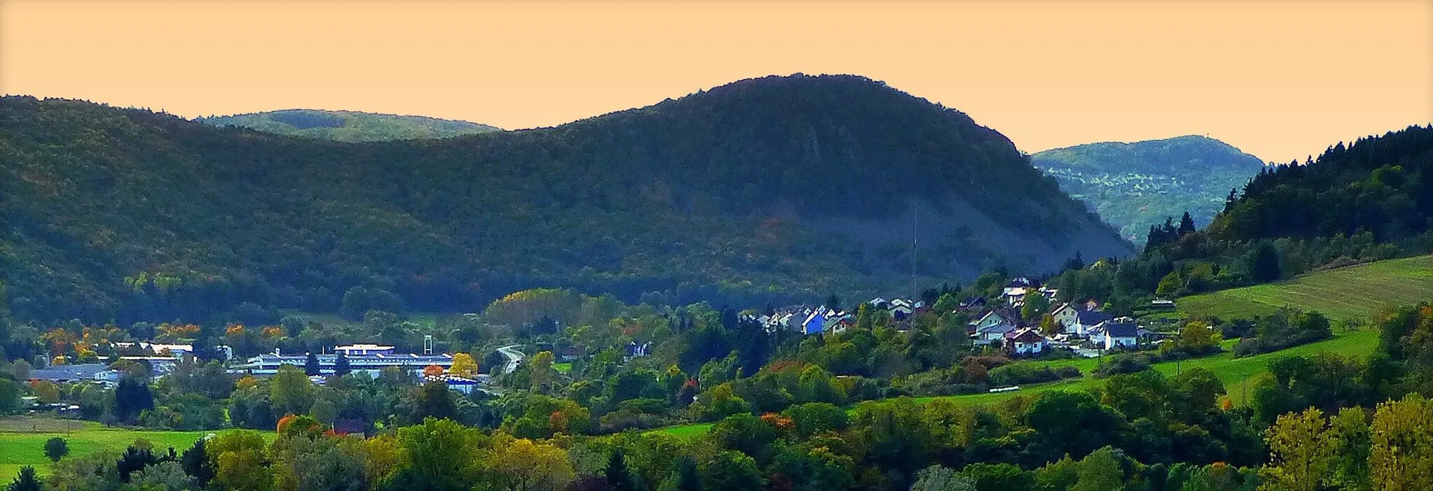
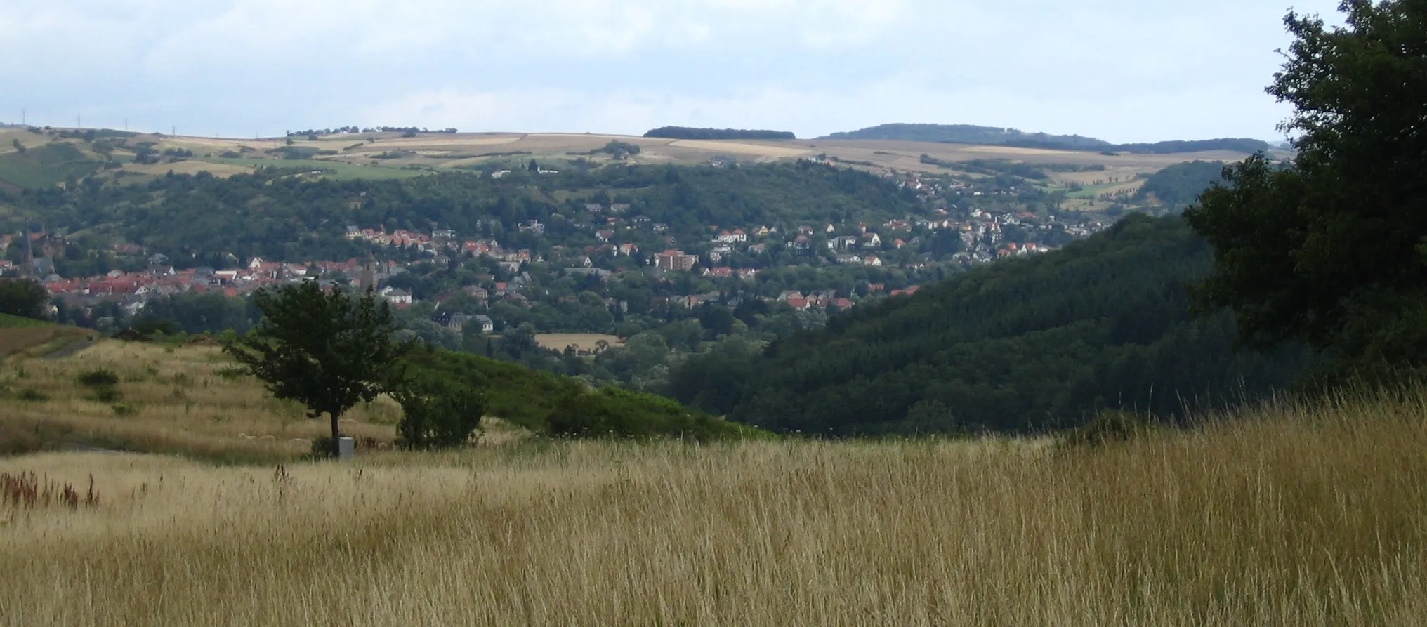
Start: Hochstetten-Dhaun Village centerHochstetten-Dhaun: Epic climbs and breathtaking views in Hochstetten-Dhaun
Hochstetten-Dhaun, located in Koblenz, Germany, provides a thrilling cycling experience for enthusiasts. The locality offers a mix of challenging road and gravel routes through its scenic landscapes. The well-known Donnersberg, the highest peak in the Palatinate region, is a favorite for cyclists looking for a demanding climb and panoramic views. With its combination of challenging terrains and natural beauty, Hochstetten-Dhaun attracts dedicated cyclists seeking an exhilarating ride.1 km
1 km
Hellberg365 mPeak4 km
4 km
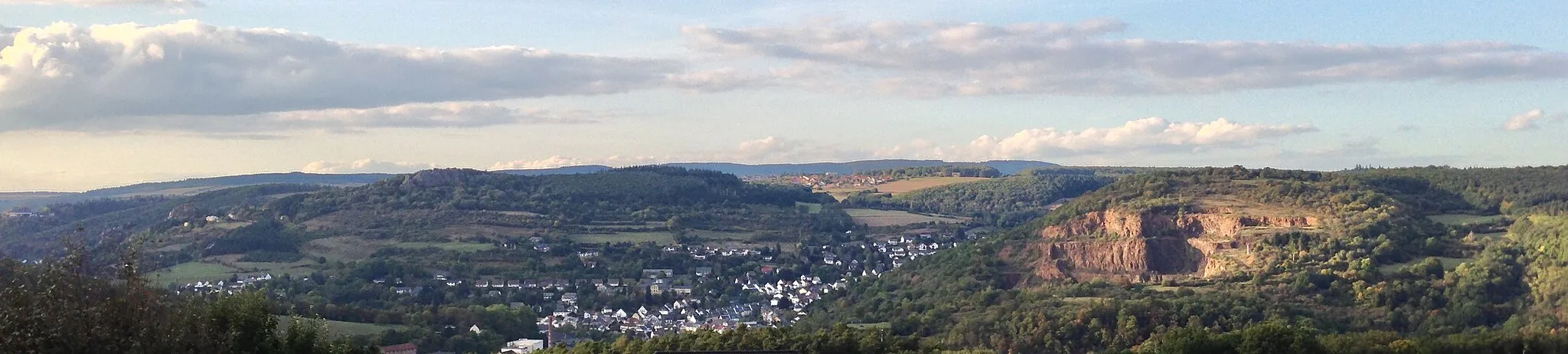
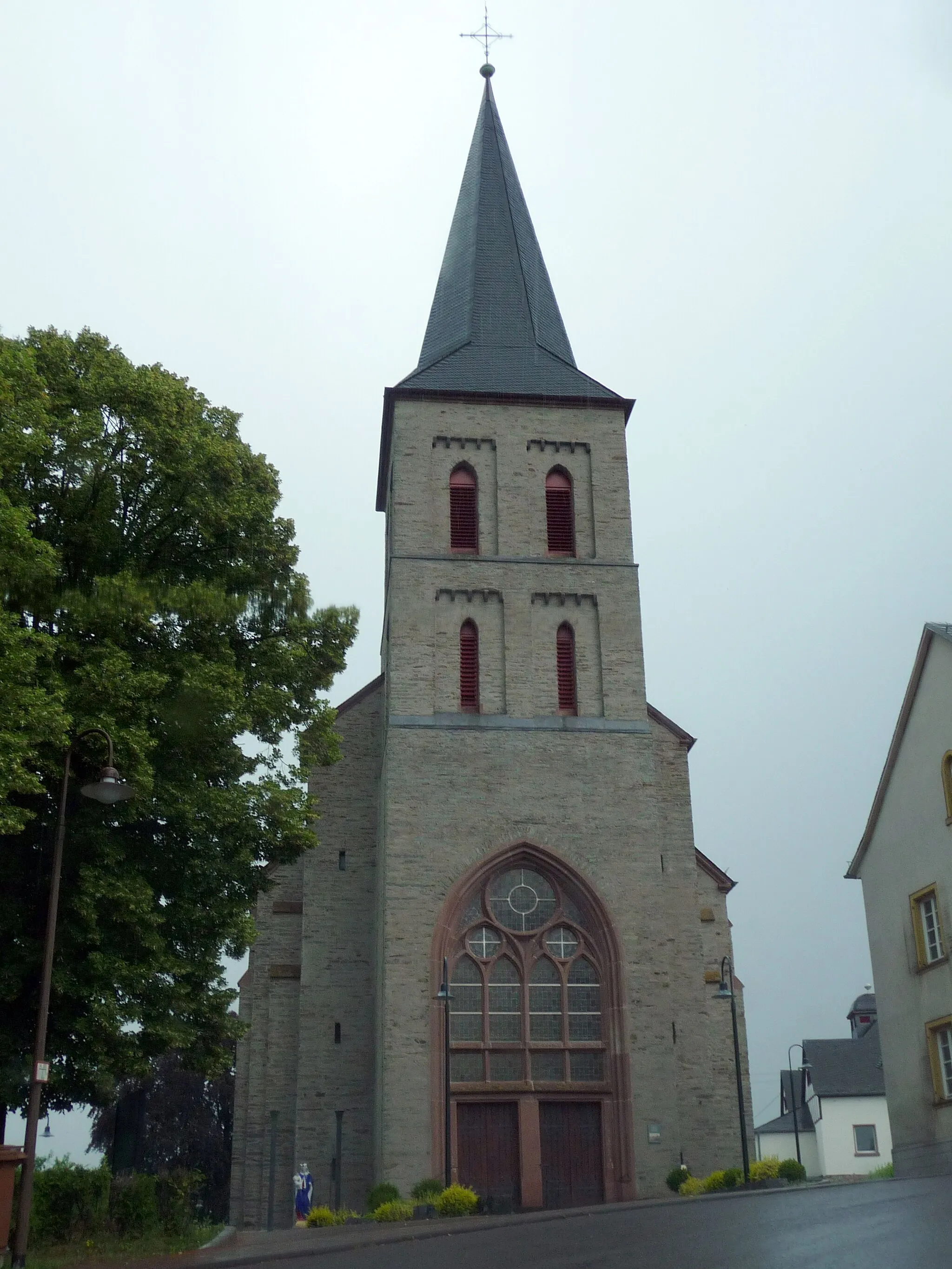
KirnTownVisit the charming town of Kirn, known for its beautiful timber-framed houses and traditional wine cellars.
28 km
28 km
BergfriedViewpointClimb to the top of the Bergfried, an ancient tower offering panoramic views of the surrounding area.
42 km
42 km
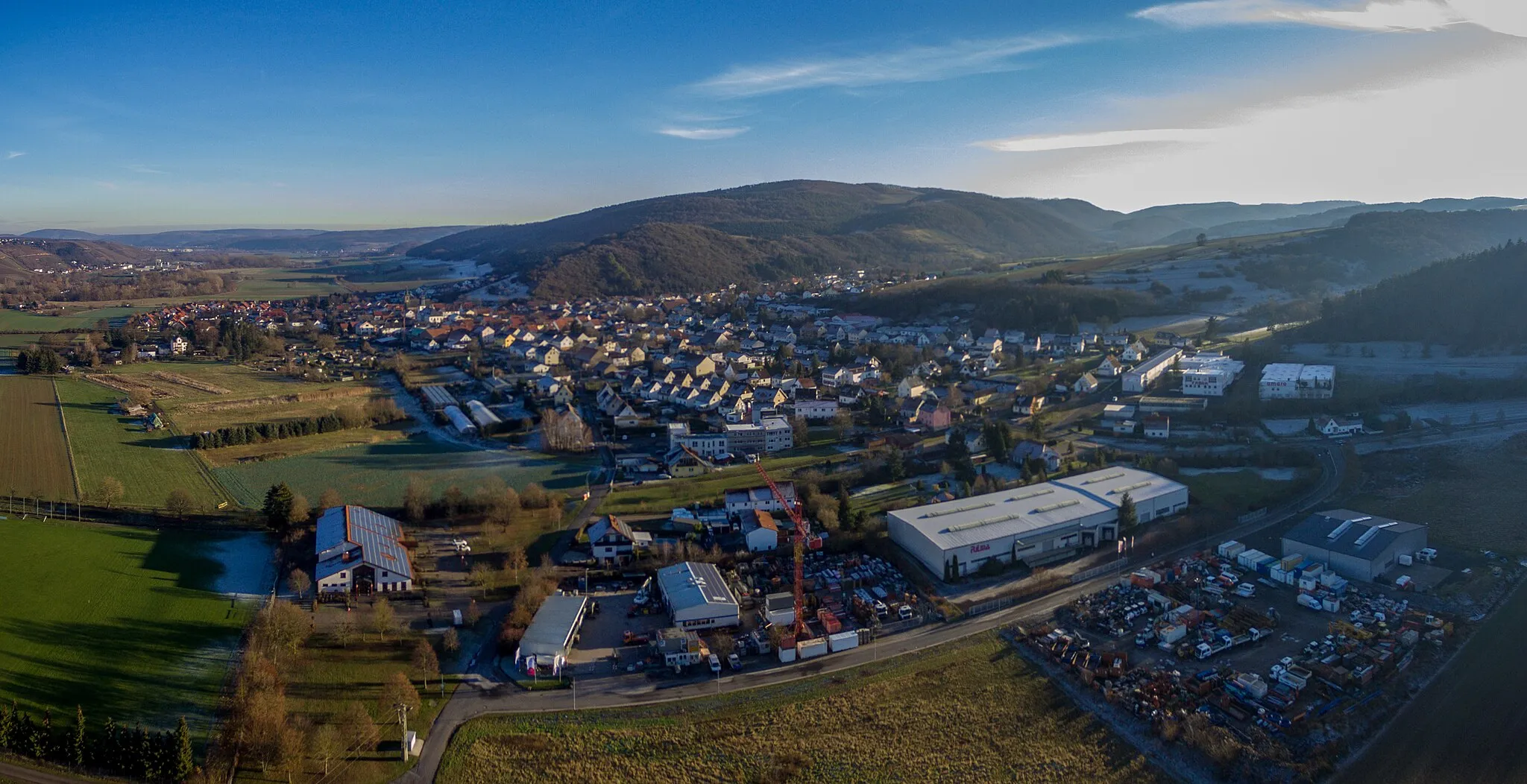
Hoppstädten-WeiersbachVillagePass through Hoppstädten-Weiersbach, a small village famous for its traditional crafts and local festivals.
47 km
47 km
Stickelberg427 mPeakAdmire the majestic Stickelberg, a rocky hill that offers stunning views of the rolling hills and vineyards.
65 km
65 km
Dollberg695 mPeakExperience the beauty of Dollberg, a hill covered in lush greenery and home to a variety of wildlife.
66 km
66 km
NeuhüttenVillageDiscover the tranquility of Neuhütten, a peaceful village surrounded by forests and nature reserves.
83 km
83 km
Kahlheid766 mPeakChallenge yourself with the uphill climb to Kahlheid, a mountain known for its panoramic vistas and challenging trails.
88 km
88 km
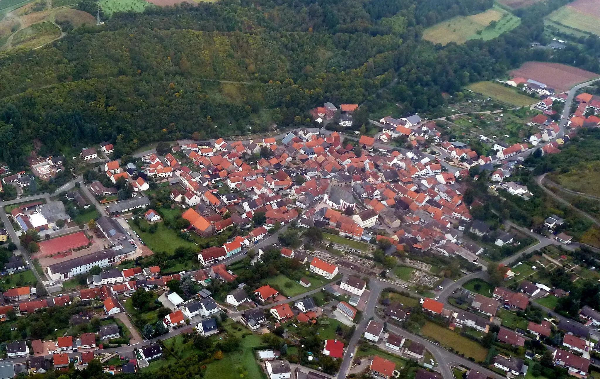
AllenbachVillageStop by Allenbach to explore its charming old town and unique architecture, including medieval half-timbered buildings.
102 km
102 km
HottenbachVillagePass through Hottenbach and enjoy the beautiful scenery of the local nature park, filled with hiking and biking trails.
113 km
113 km
BruschiedVillageVisit the peaceful village of Bruschied and take a break at one of its cozy local cafes.
124 km
124 km
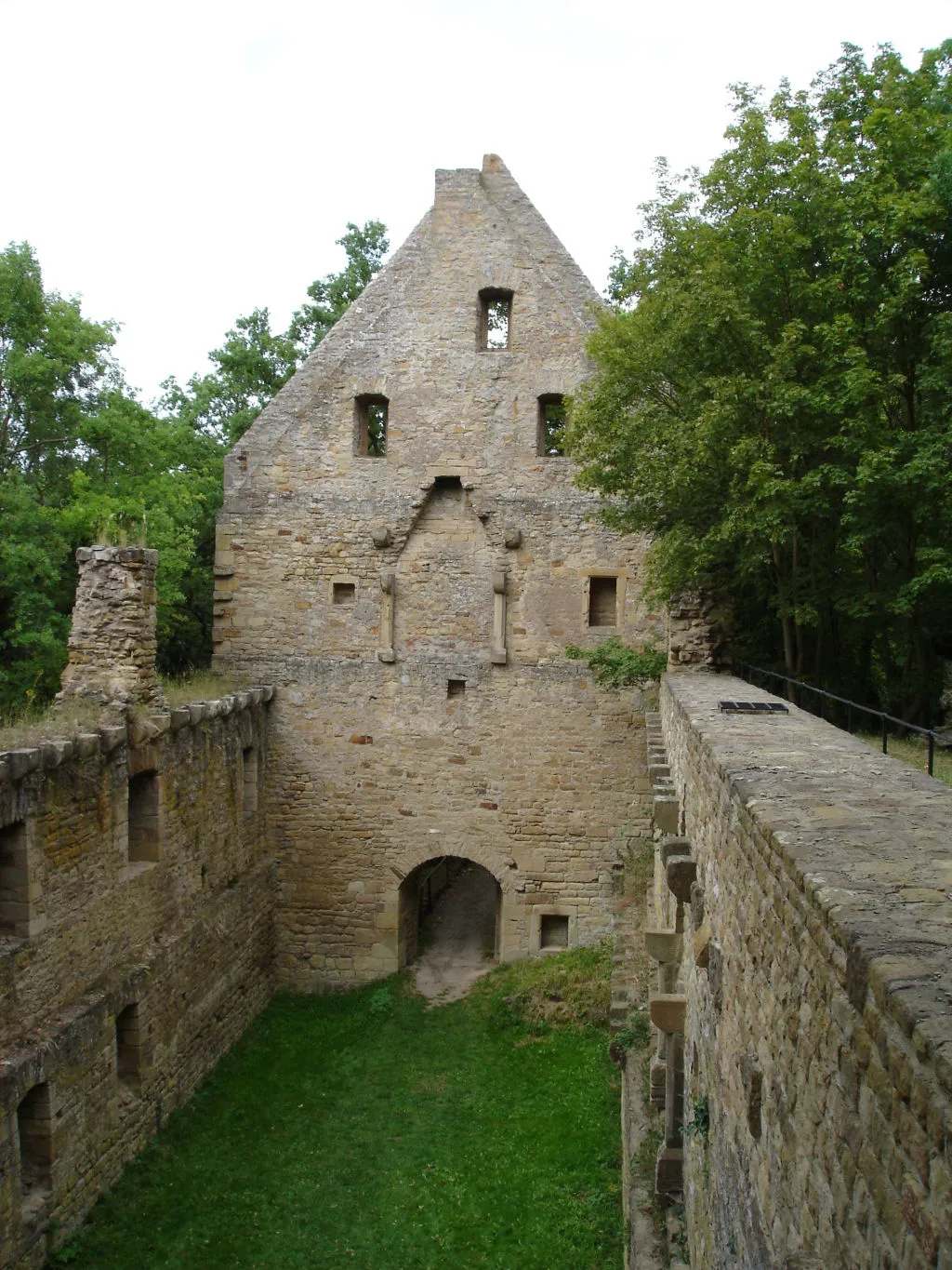
Hochstetten-DhaunVillageFinish your journey in Hochstetten-Dhaun, a picturesque village with ancient ruins and a rich history.
124 km
124 km
Finish: Hochstetten-Dhaun Village centerHochstetten-Dhaun: Epic climbs and breathtaking views in Hochstetten-Dhaun
Cycling routes from Hochstetten-Dhaun:
Seesbach and the Historical Burgsponheim Road Off the Beaten Path: Exploring Idar-Oberstein Gravel Adventure: Womrather Höhe and Rhaunen Short and Sweet: Limbacher Höhe Loop Challenge and Beauty: Alteburg and Horbach The Hill Legend Breathtaking Views Off the Beaten Path Gravel Adventure Road Cycling Adventure Hochstetten-Dhaun Gravel Adventure
Cycling routes nearby: