The Hills of Gebsattel
A gravel cycling route starting from Gebsattel
Explore the scenic hills surrounding Gebsattel
Map
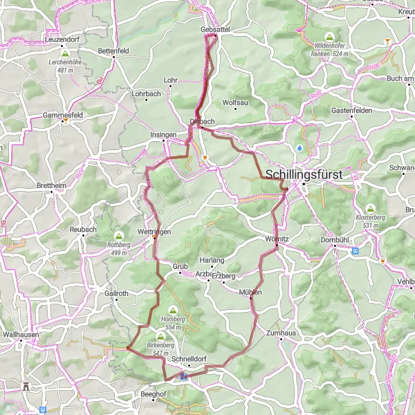
The Hills of Gebsattel is a 51-kilometer gravel route that starts and ends in Gebsattel. With an ascent of 350 meters, this route offers a moderate challenge for cyclists. It takes riders through rolling hills and picturesque landscapes, showcasing the beauty of the region. Along the way, cyclists will pass through Reinhardsberg, a small village known for its tranquil atmosphere and stunning views.
gravel
51 km
350 m
Tough
Route profile
Highlights on the route
0 km
0 km
Start: Gebsattel Village centerGebsattel: Escape to the countryside for picturesque cycling in Gebsattel.
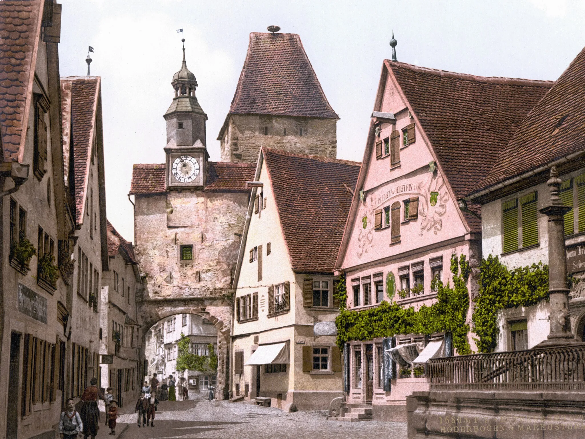
Gebsattel is a town located in the Mittelfranken region of Germany. From a cyclist's perspective, Gebsattel offers a variety of road and gravel cycling routes in a rural setting. Cyclists can enjoy scenic rides through farmlands, forests, and idyllic villages. Although Gebsattel does not have any well-known climbs or famous cycling spots nearby, it provides a peaceful and enjoyable cycling experience.0 km
0 km
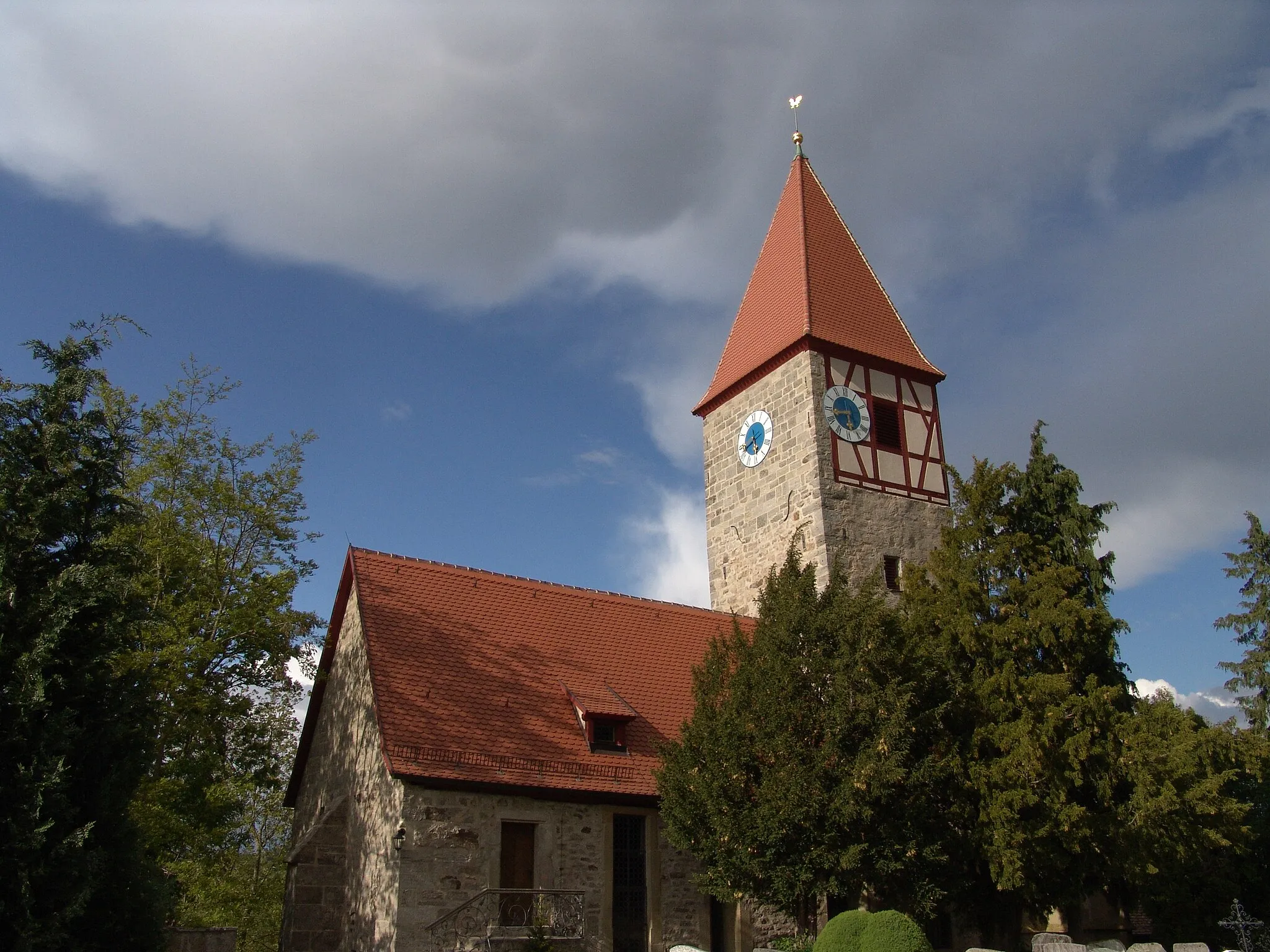
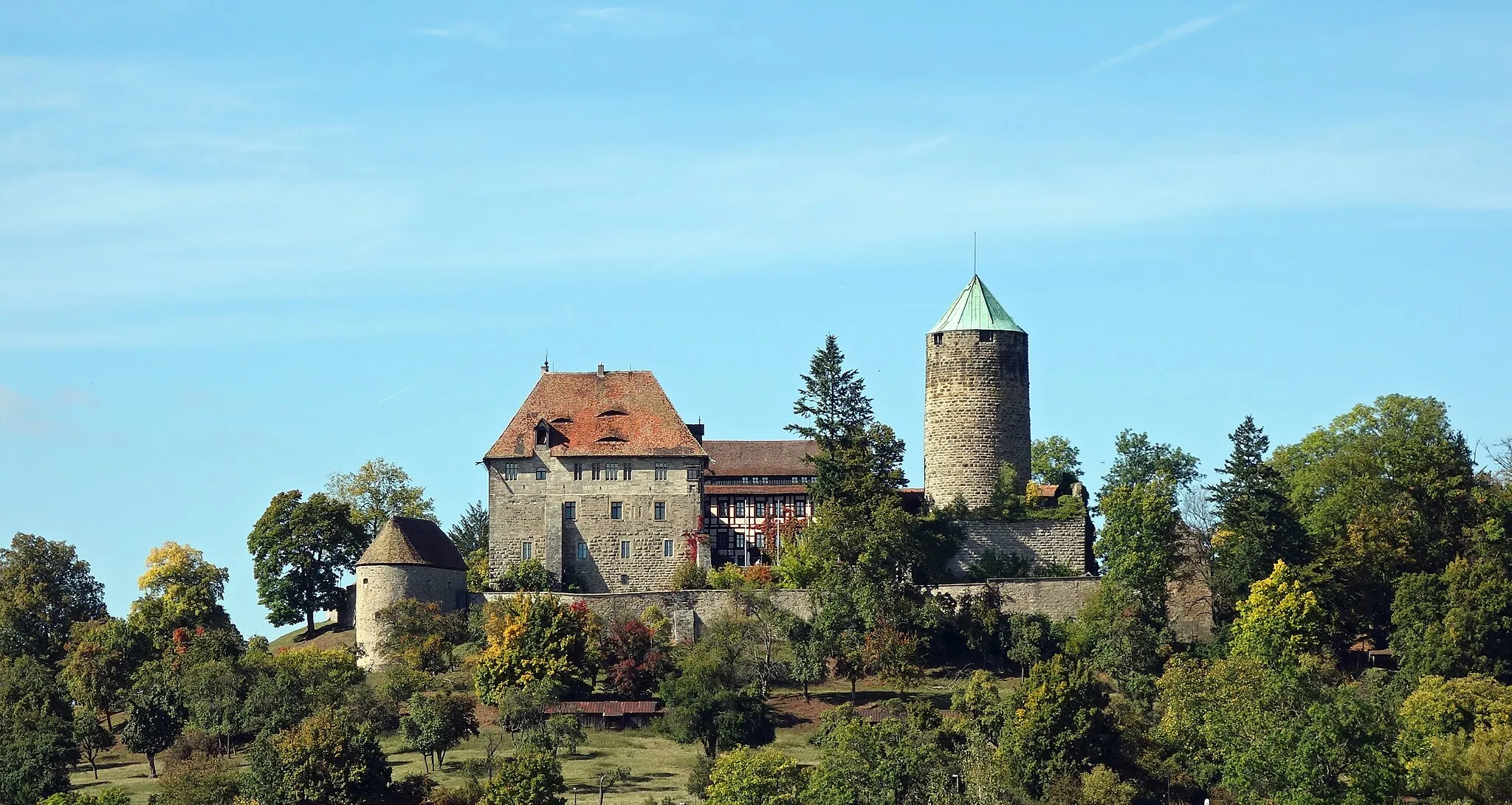
GebsattelVillageGebsattel, the starting and ending point, is a picturesque village with a historic church and idyllic landscapes.
4 km
4 km
Reinhardsberg438 mPeakReinhardsberg offers breathtaking views of the surrounding rolling hills and farmland.
10 km
10 km
Eichelberg530 mPeakEichelberg is a charming hamlet tucked away amidst scenic countryside.
23 km
23 km
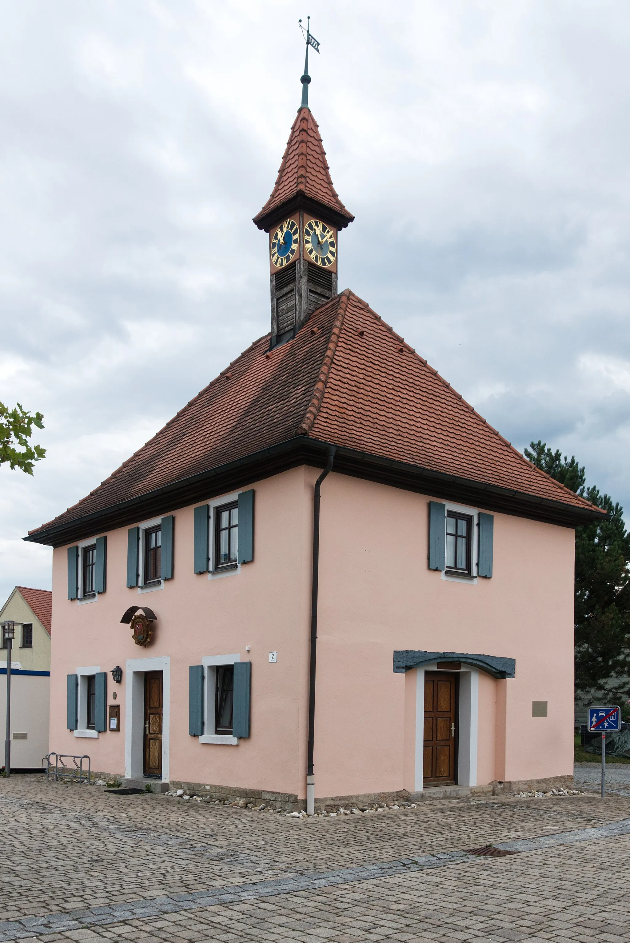
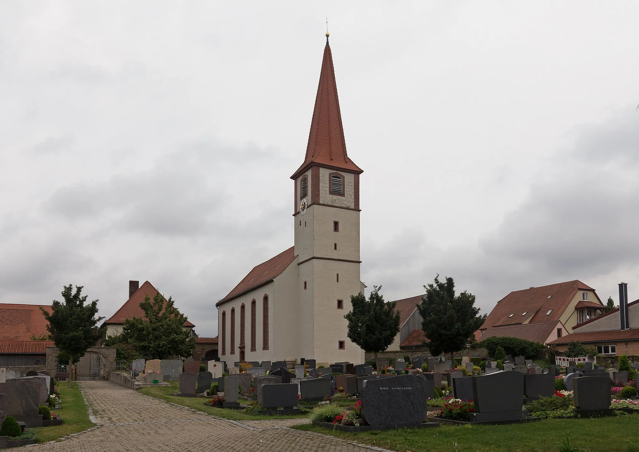
OberampfrachVillageOberampfrach is a small village with historic half-timbered houses and a welcoming atmosphere.
29 km
29 km
Roßkopf533 mPeakRoßkopf is a great vantage point that offers panoramic views of the region.
48 km
48 km
BockenfeldVillageBockenfeld is surrounded by lush green meadows and offers a peaceful setting for a rest stop.
51 km
51 km
Finish: Gebsattel Village centerGebsattel: Escape to the countryside for picturesque cycling in Gebsattel.
Cycling routes nearby: