The Scenic Road Ride
A road cycling route starting from Uttenreuth
Experience the breathtaking beauty of the countryside on this road cycling route
Map
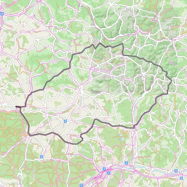
Embark on a road cycling adventure near Uttenreuth and immerse yourself in the breathtaking beauty of the countryside. With a challenging ascent of 1122 meters and a distance of 68 kilometers, this route is suitable for very well-trained amateurs. The highlights along the way include Gugel, a scenic spot with panoramic views, and Langenberg, a picturesque hill that offers stunning vistas. Don't miss Sattelbogen, a challenging climb that rewards with magnificent panoramas. Laipersdorf, Ochsenkopf, and Weiher are also worth a visit. From start to finish, this route promises an unforgettable scenic experience.
road
68 km
1122 m
Tough
Route profile
Highlights on the route
0 km
0 km
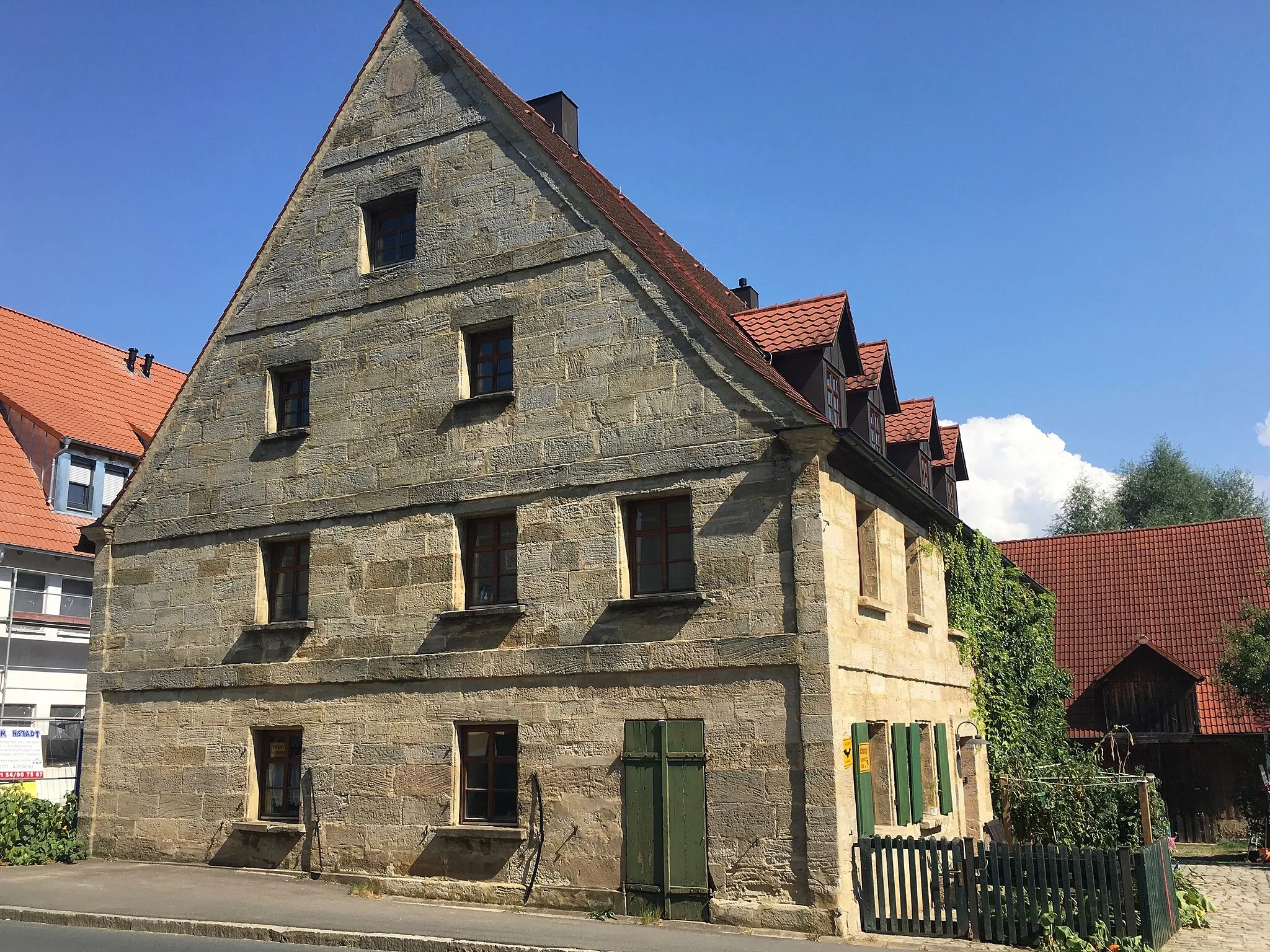
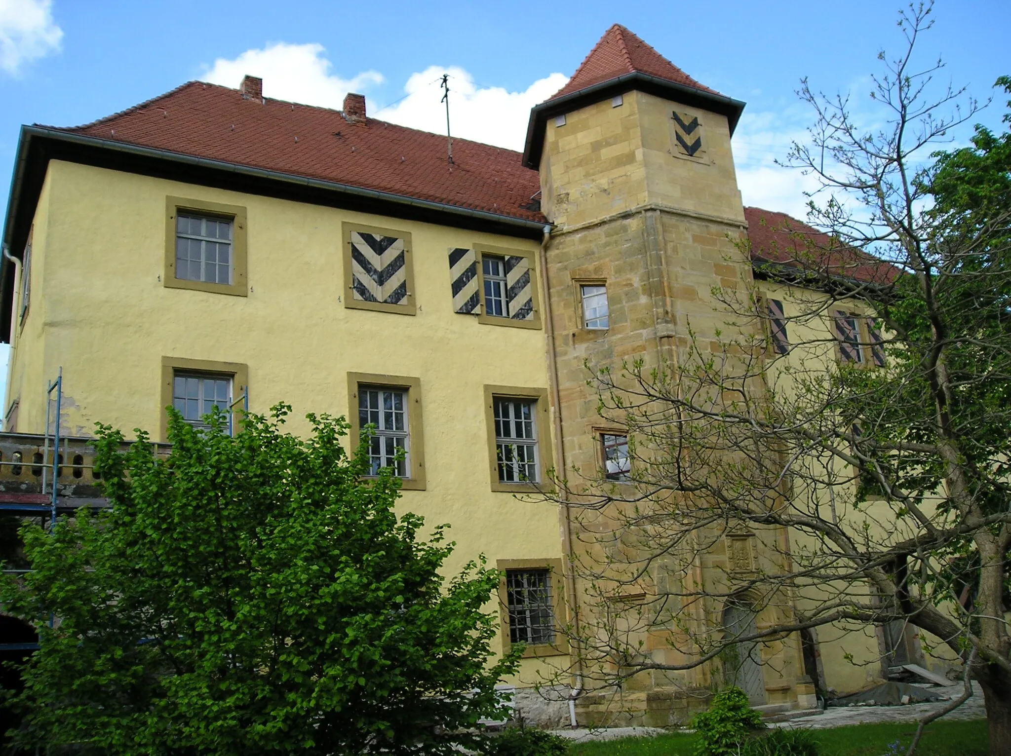
Start: Weiher Village centerUttenreuth: Discover the scenic backroads of Uttenreuth and explore the neighboring Franconian Switzerland area by bike.
Uttenreuth, situated in Germany's Mittelfranken region, offers a cyclist-friendly destination with a mix of scenic countryside and well-paved routes. Road and gravel cyclists will appreciate the well-maintained roads within and around Uttenreuth, weaving through beautiful forests and past charming Bavarian villages. While Uttenreuth may not boast any world-famous cycling spots or climbs, it serves as a great starting point to explore the surrounding region, including the renowned Franconian Switzerland area. With its charming landscapes and access to diverse cycling routes, Uttenreuth is a recommended stop for cyclists looking to immerse themselves in biking experiences within Germany's picturesque Mittelfranken region.5 km
5 km
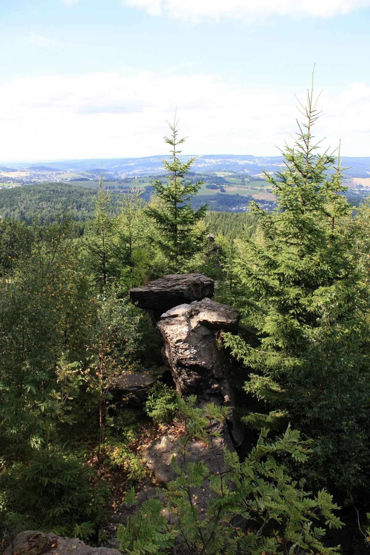
Gugel375 mPeakGugel offers breathtaking panoramic views of the surrounding countryside.
9 km
9 km
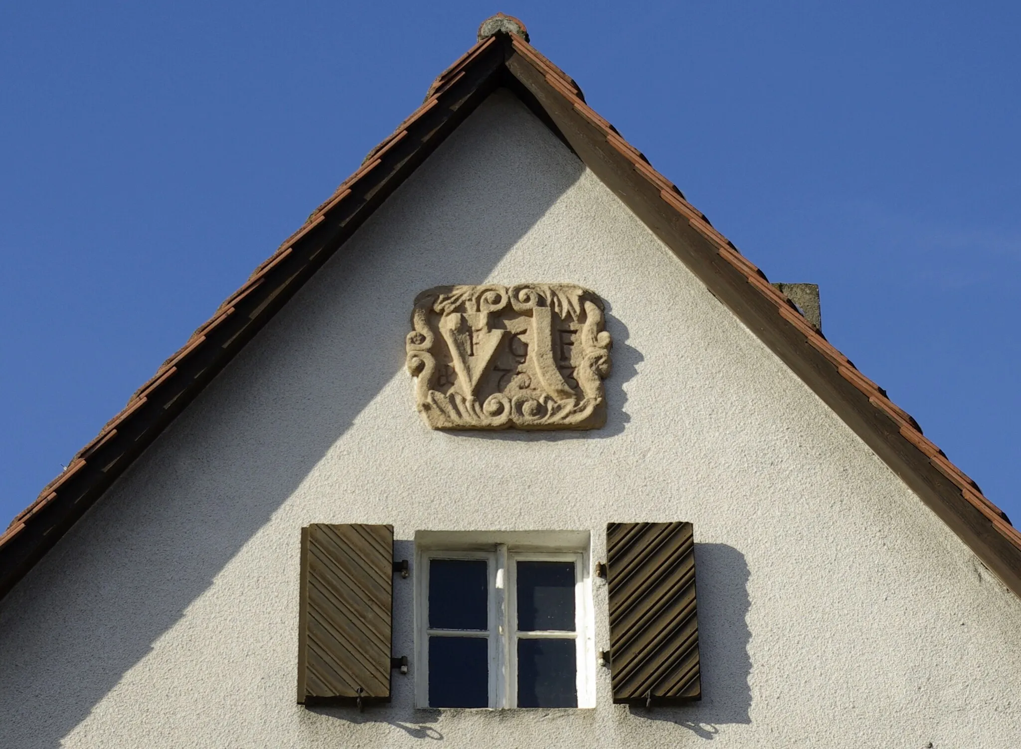
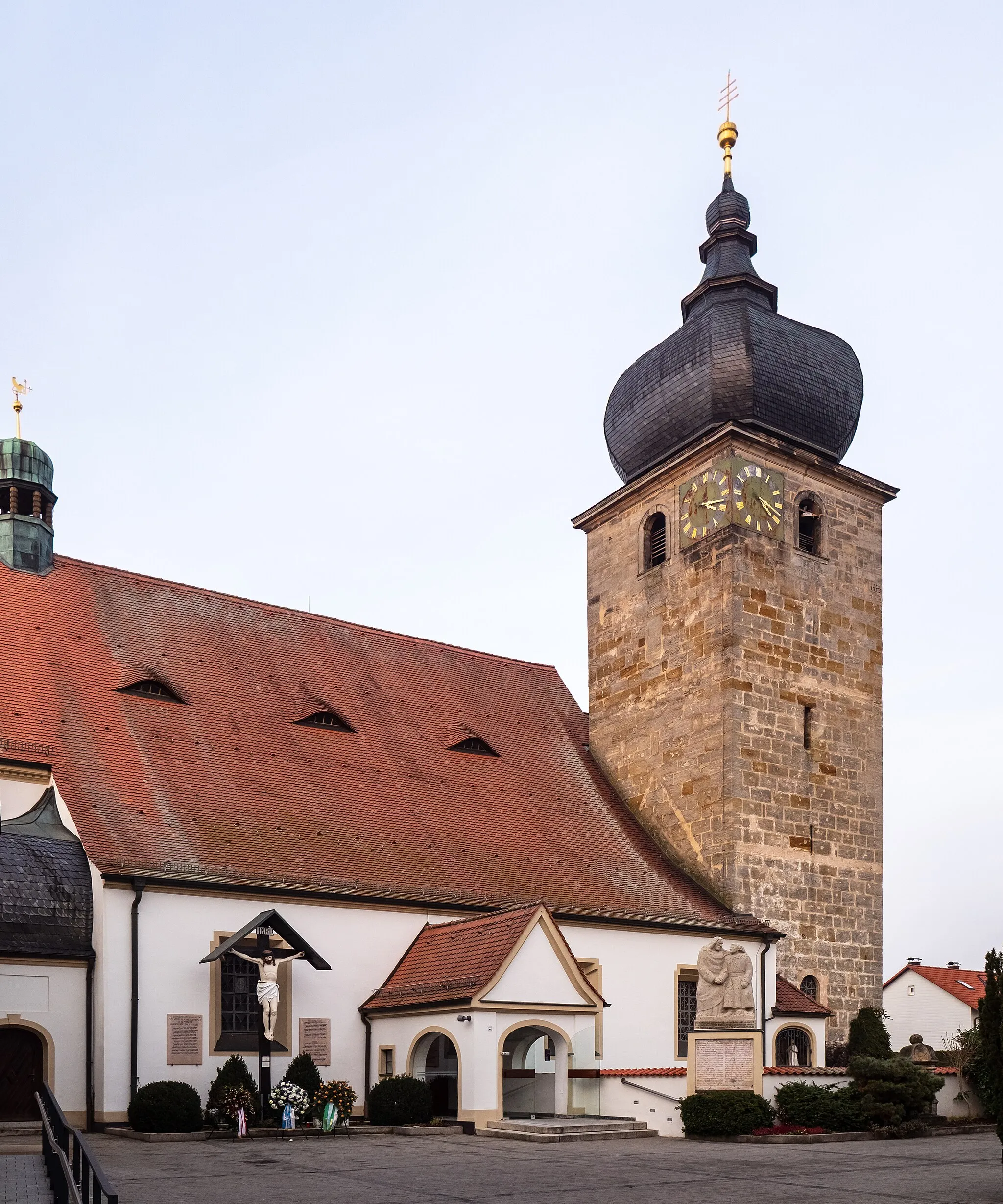
ErmreuthVillageErmreuth is a charming village with picturesque landscapes.
28 km
28 km
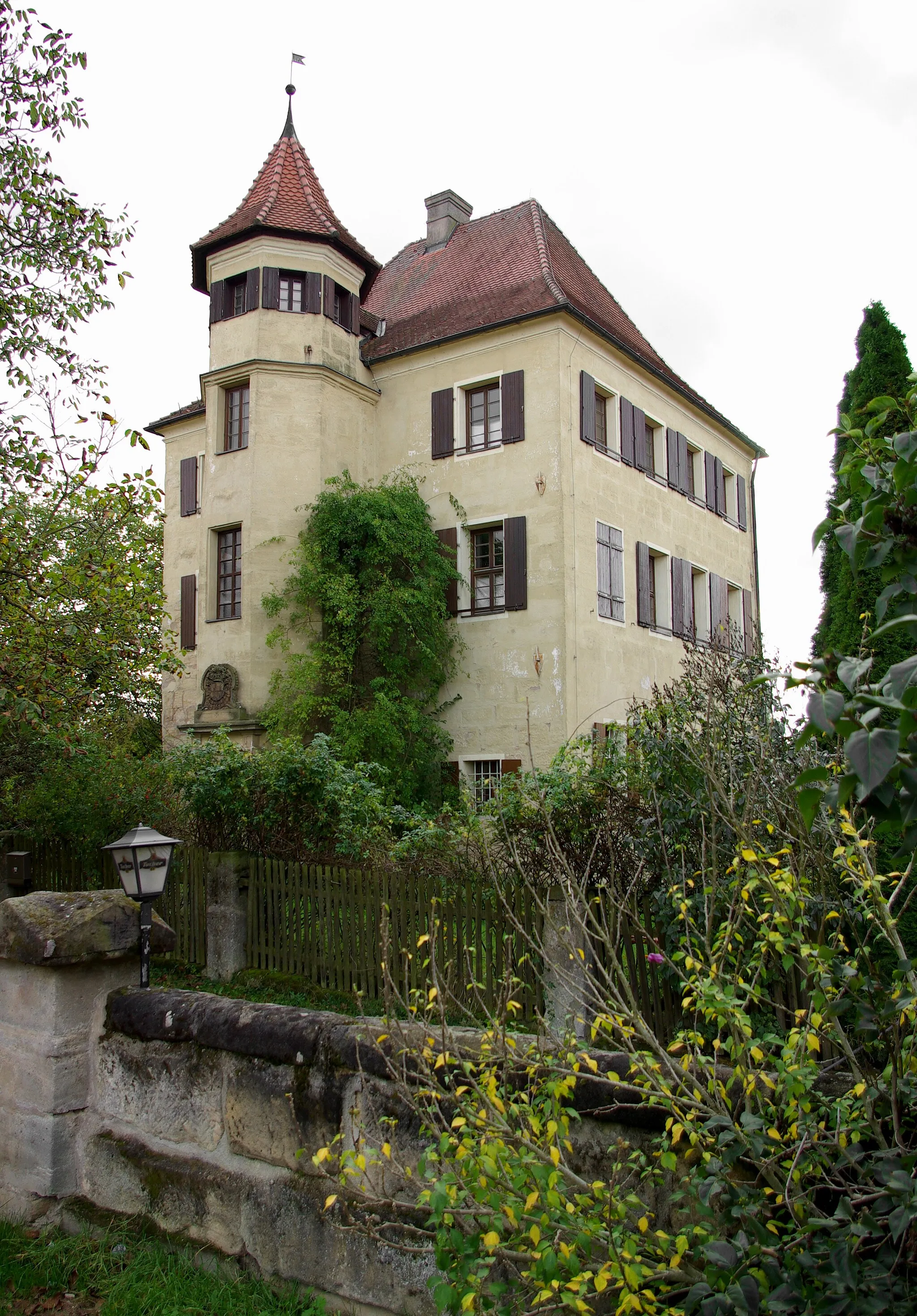
Langenberg610 mPeakLangenberg is a beautiful hill offering stunning vistas of the surrounding area.
34 km
34 km
Sattelbogen565 mPeakSattelbogen is a challenging climb that rewards with magnificent panoramas at the top.
48 km
48 km
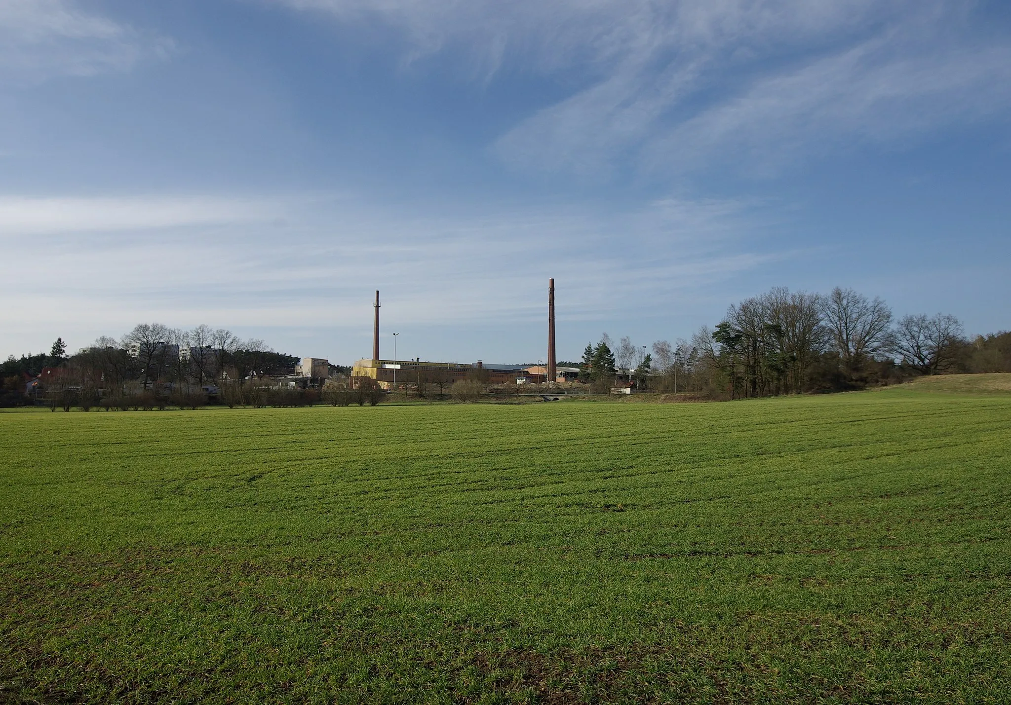
LaipersdorfVillageLaipersdorf is a quaint village surrounded by lush green fields.
55 km
55 km
Ochsenkopf440 mPeakOchsenkopf is a popular hill with breathtaking views of the countryside.
68 km
68 km
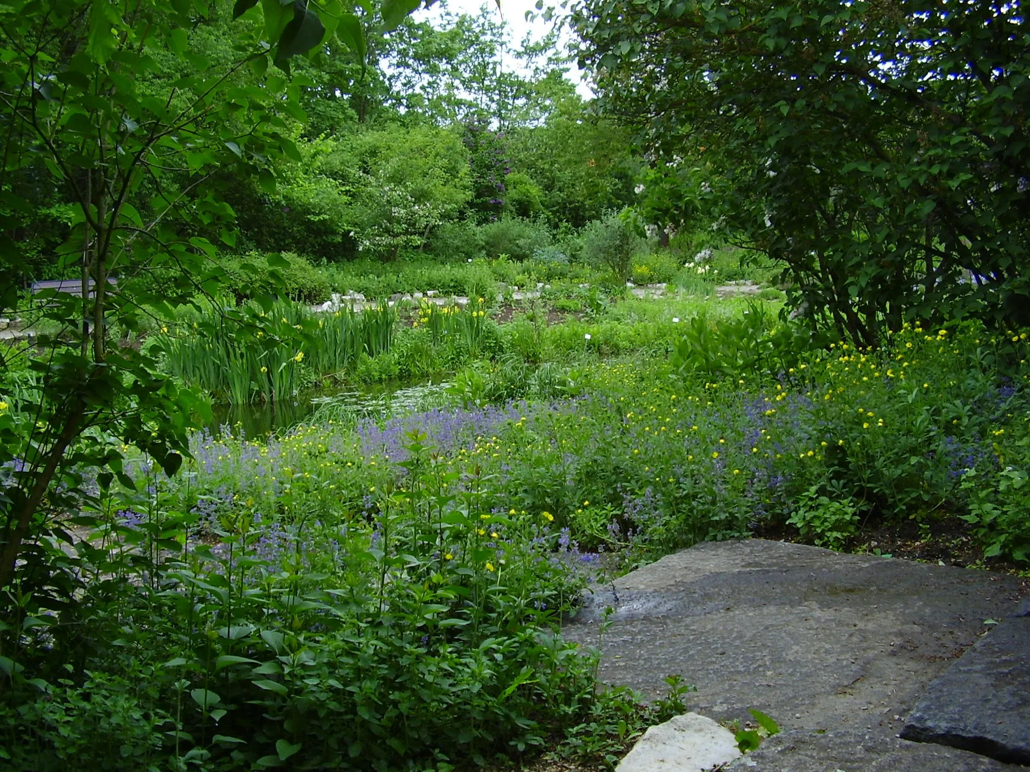
WeiherVillageWeiher is a peaceful lake where you can relax and enjoy the natural beauty.
68 km
68 km
Finish: Weiher Village centerUttenreuth: Discover the scenic backroads of Uttenreuth and explore the neighboring Franconian Switzerland area by bike.
Cycling routes nearby: