Gravel Expedition in Mittelfranken
A gravel cycling route starting from Wachenroth
Embark on an exciting gravel expedition through the diverse terrains of Mittelfranken.
Map
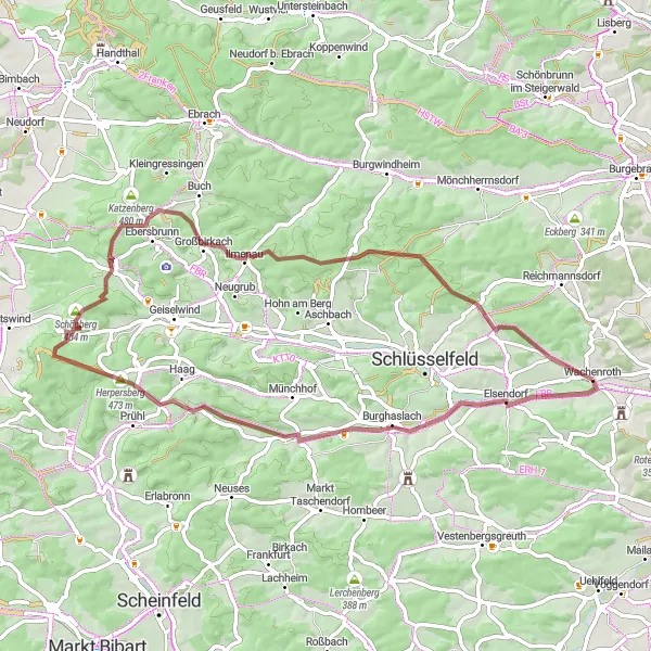
With a total ascent of 623 meters and a distance of 58 kilometers, this gravel route in Mittelfranken offers an immersive exploration of the region's landscapes. Cycle through Elsendorf, Appenfelden, Trauberg, Fuchsberg, Hof, Thüngbach, and return to Wachenroth as you appreciate the beauty of Mittelfranken. This route is ideal for gravel enthusiasts seeking a shorter but thrilling adventure. The varying terrains and picturesque routes provide a great opportunity for riders to challenge themselves and savor the natural wonders that surround them. Experience the solitude of meandering gravel roads and discover hidden gems along the way.
gravel
58 km
623 m
Tough
Route profile
Highlights on the route
0 km
0 km
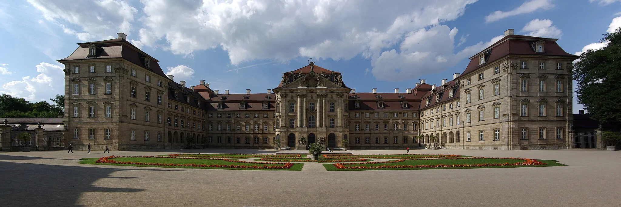
Start: Wachenroth Village centerWachenroth: Enjoy countryside rides near Nuremberg.
Wachenroth is a locality in Germany, Mittelfranken. While Wachenroth doesn't have any famous cycling routes or well-known climbs nearby, it offers a range of road and gravel cycling routes for enthusiasts. The countryside is characterized by rolling hills and traditional German villages, creating a pleasant atmosphere for rides. Wachenroth is also conveniently located near major cities like Nuremberg, providing additional sightseeing opportunities for cyclists. With its scenic routes and proximity to urban centers, Wachenroth is worth exploring for road and gravel cyclists.4 km
4 km
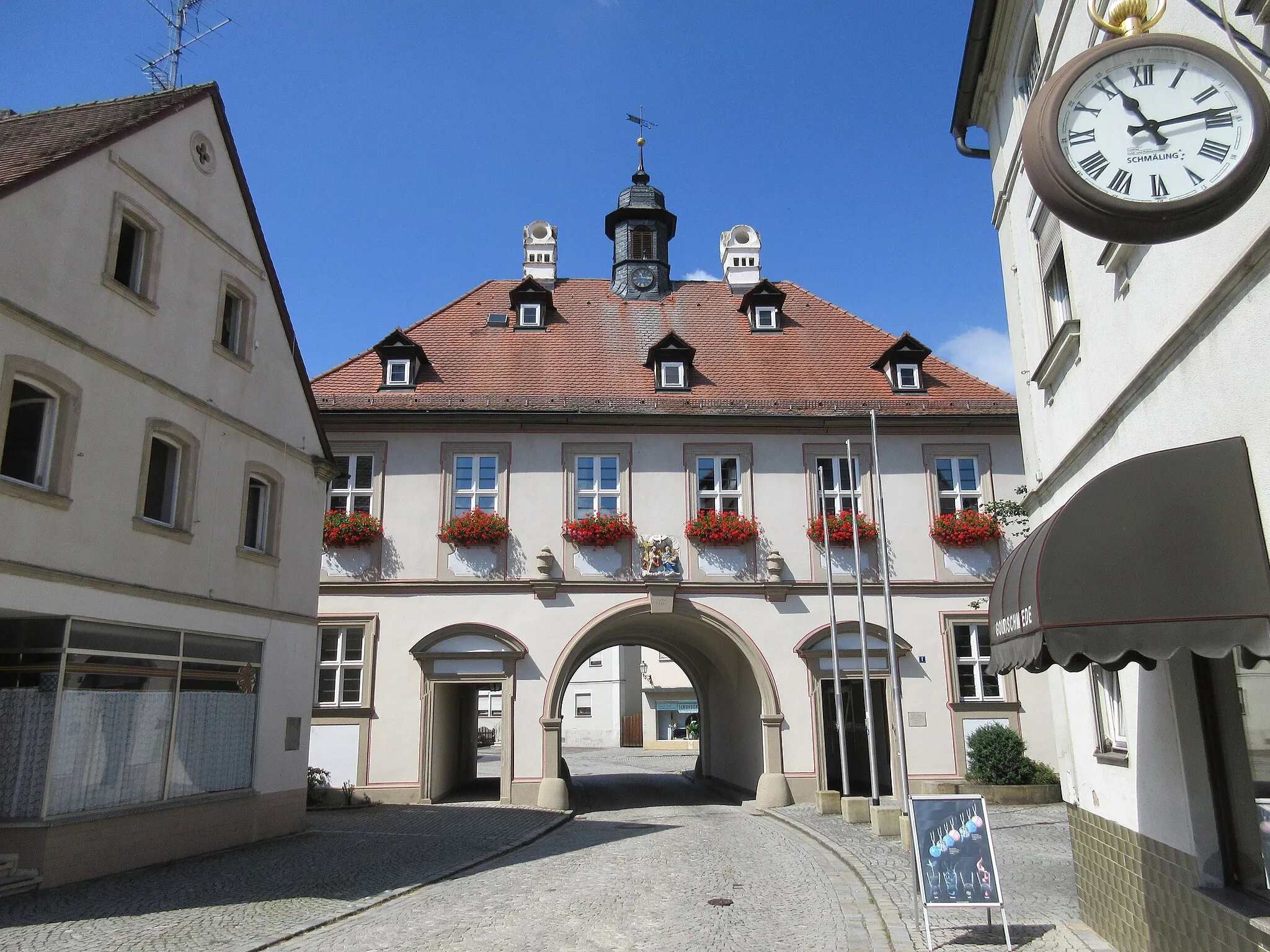
ElsendorfVillageElsendorf offers a brief respite along the route, but does not provide notable attractions or scenic views.
19 km
19 km
AppenfeldenVillageAppenfelden boasts tranquil surroundings, perfect for riders to appreciate the serene atmosphere of rural Mittelfranken.
24 km
24 km
Trauberg466 mPeakTrauberg showcases charming landscapes and quiet roads, allowing cyclists to fully immerse themselves in nature.
30 km
30 km
Fuchsberg451 mPeakFuchsberg's rolling hills bring a delightful challenge to riders, providing an enjoyable experience while cycling through the region.
36 km
36 km
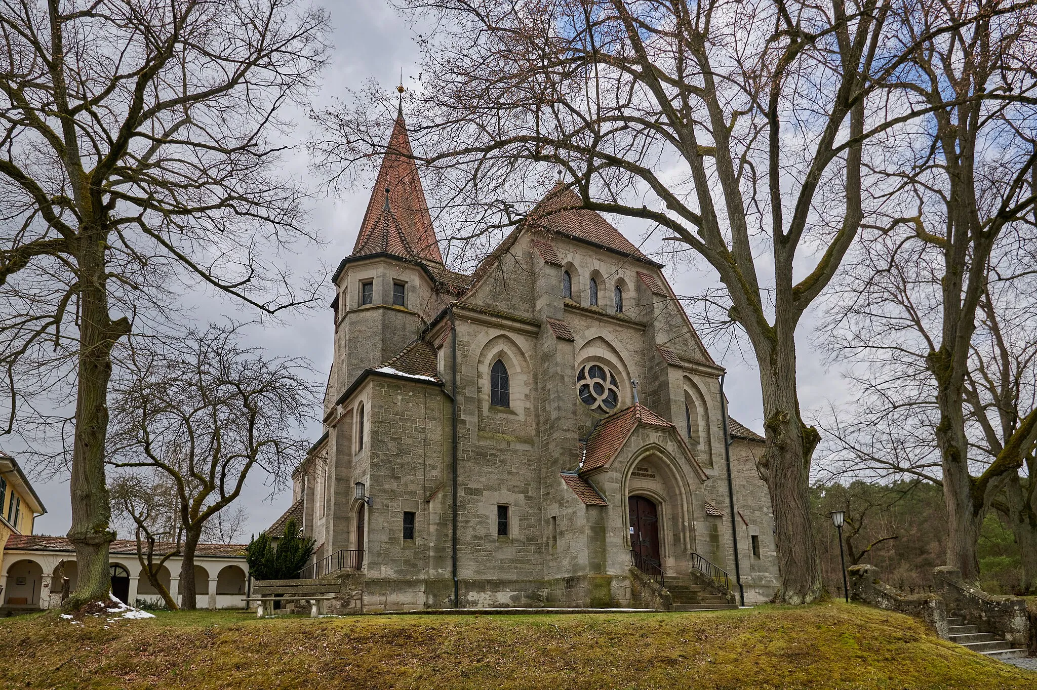
HofHamletHof is a peaceful village surrounded by open fields and gentle landscapes, ideal for appreciating the simplicity of rural life.
52 km
52 km
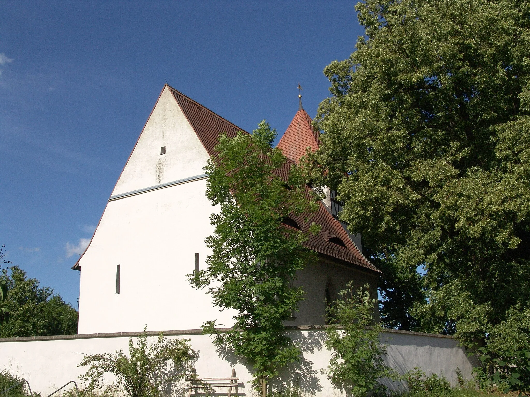
ThüngbachVillageThüngbach greets riders with its meandering paths and dense forests, creating an immersive natural experience.
58 km
58 km
WachenrothVillageReturn to Wachenroth, the starting point of the expedition, where you can reflect on your gravel adventure and celebrate the journey you have completed.
58 km
58 km
Finish: Wachenroth Village centerWachenroth: Enjoy countryside rides near Nuremberg.
Cycling routes from Wachenroth:
Cycling routes nearby: