Challenging Adventure
A road cycling route starting from Dormitz
An adventurous road cycling route with varying terrains
Map
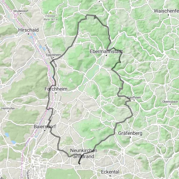
Embark on an 87 km road cycling journey that will test your skills and endurance. With a challenging ascent of 1274 meters, this route is ideal for cyclists looking to push their limits. Along the way, you'll be captivated by numerous highlights, including Baiersdorf, Forchheim, Unterleinleiter, Breitenstein, Egloffstein, Gugel, Neunkirchen am Brand. These highlights offer captivating views, historical landmarks, and opportunities to experience the distinctive character of each location.
road
87 km
1274 m
Savage
Route profile
Highlights on the route
0 km
0 km
Start: Dormitz Village centerDormitz: Cycling paradise in Oberfranken.
Dormitz, located in the Oberfranken region of Germany, is a great locality for road and gravel cyclists. The area boasts rolling hills, meandering rivers, and charming villages, providing cyclists with idyllic scenery. Cyclists can explore the Franconian Switzerland region, which offers challenging climbs, including the famous Ochsenkopf. The area is also dotted with breweries, making it a popular destination for beer-loving cyclists. Overall, Dormitz offers both scenic cycling routes and opportunities to experience the rich cultural heritage of the region.13 km
13 km
BaiersdorfTownBaiersdorf is renowned for its historic town center, featuring well-preserved buildings from various architectural periods.
23 km
23 km
ForchheimTownForchheim boasts a charming old town, rich cultural heritage, and annual festivals celebrating beer and Franconian traditions.
46 km
46 km
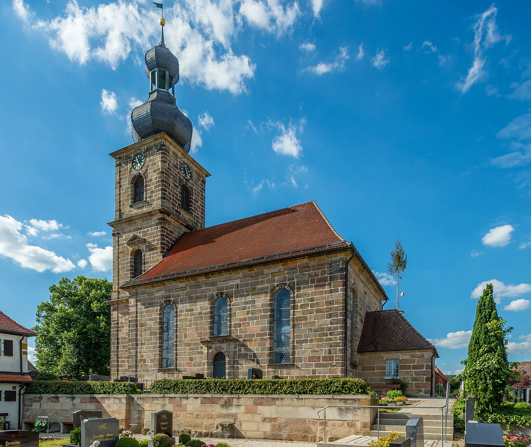
UnterleinleiterVillageExplore the picturesque village of Unterleinleiter, nestled in the valley and surrounded by stunning Franconian nature.
63 km
63 km
BreitensteinViewpointBreitenstein, perched atop a hill, offers panoramic views of the Franconian countyside and features a majestic castle ruins.
68 km
68 km
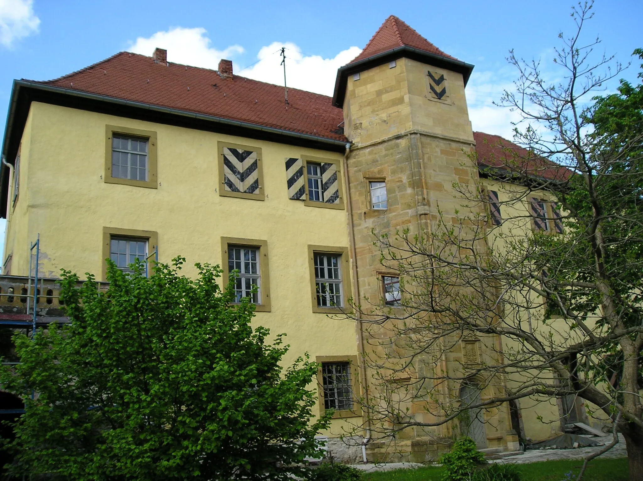
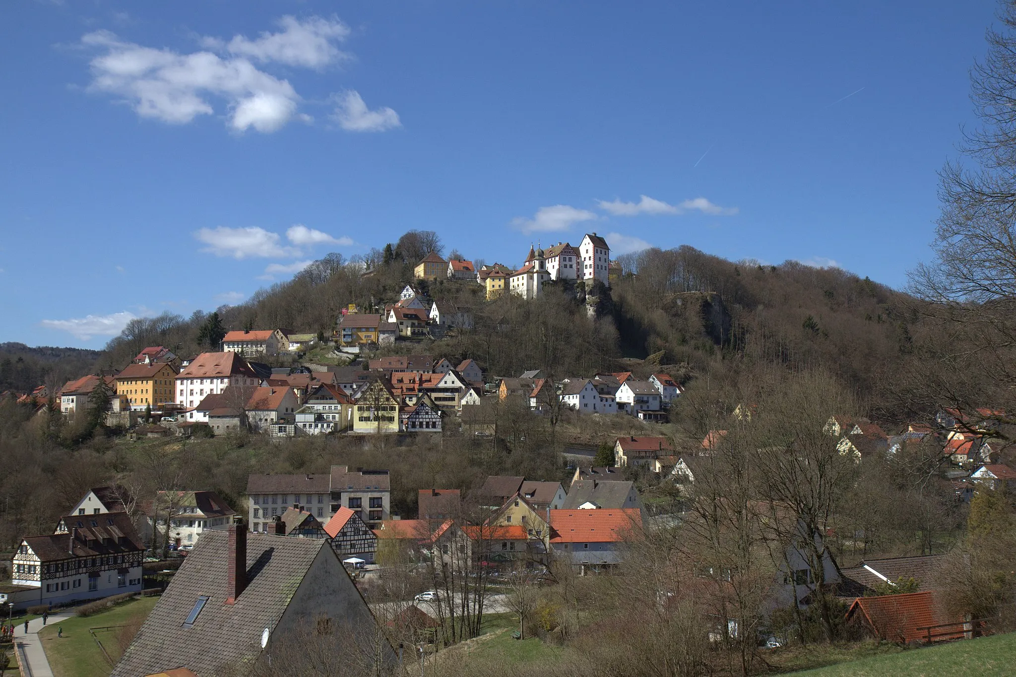
EgloffsteinVillageEgloffstein is a medieval gem characterized by its well-preserved castle, idyllic setting, and ample opportunities for outdoor activities.
84 km
84 km
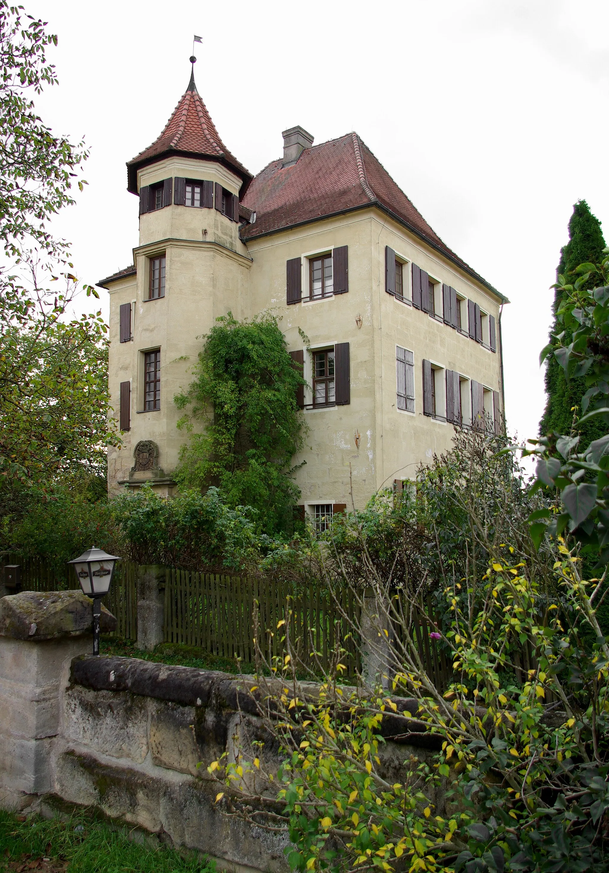
Gugel375 mPeakGugel is a must-visit, known for its idyllic landscapes, winding roads, and traditional Franconian hospitality.
85 km
85 km
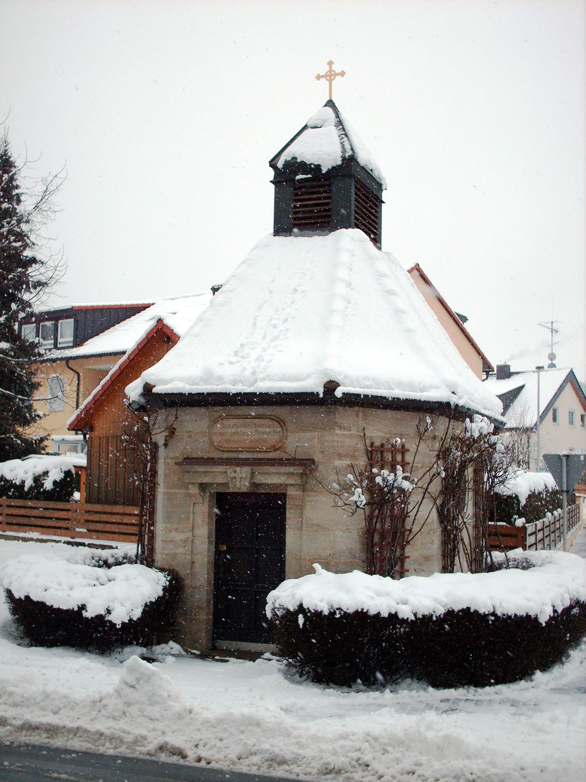
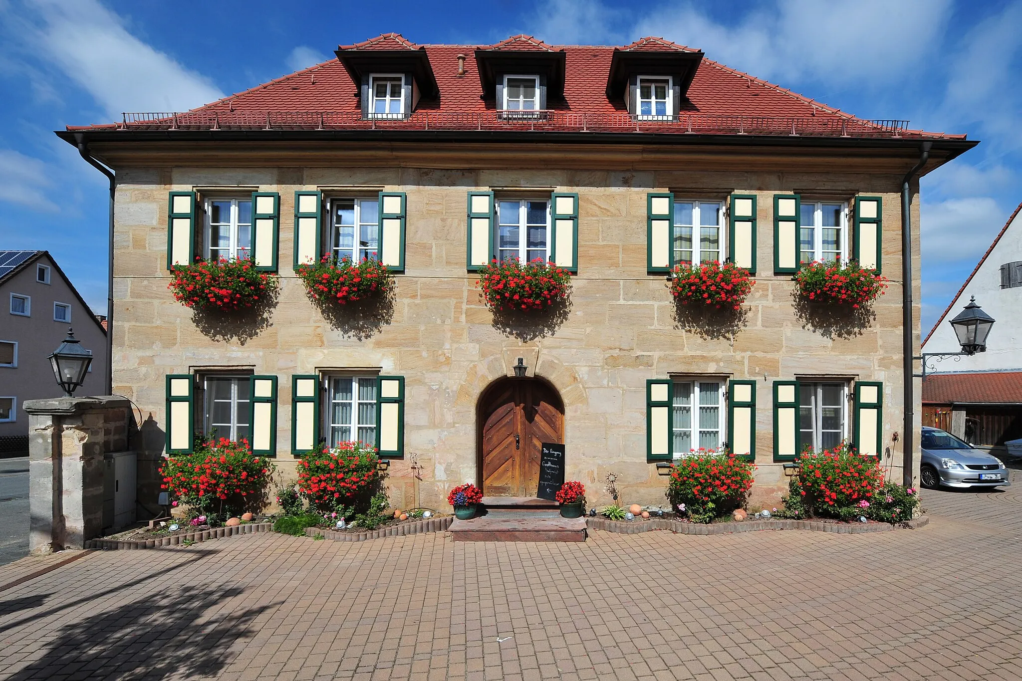
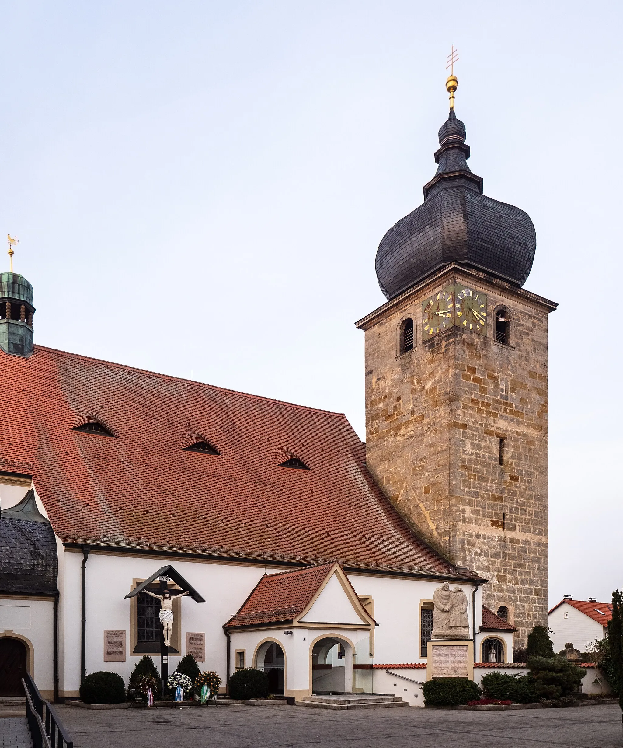
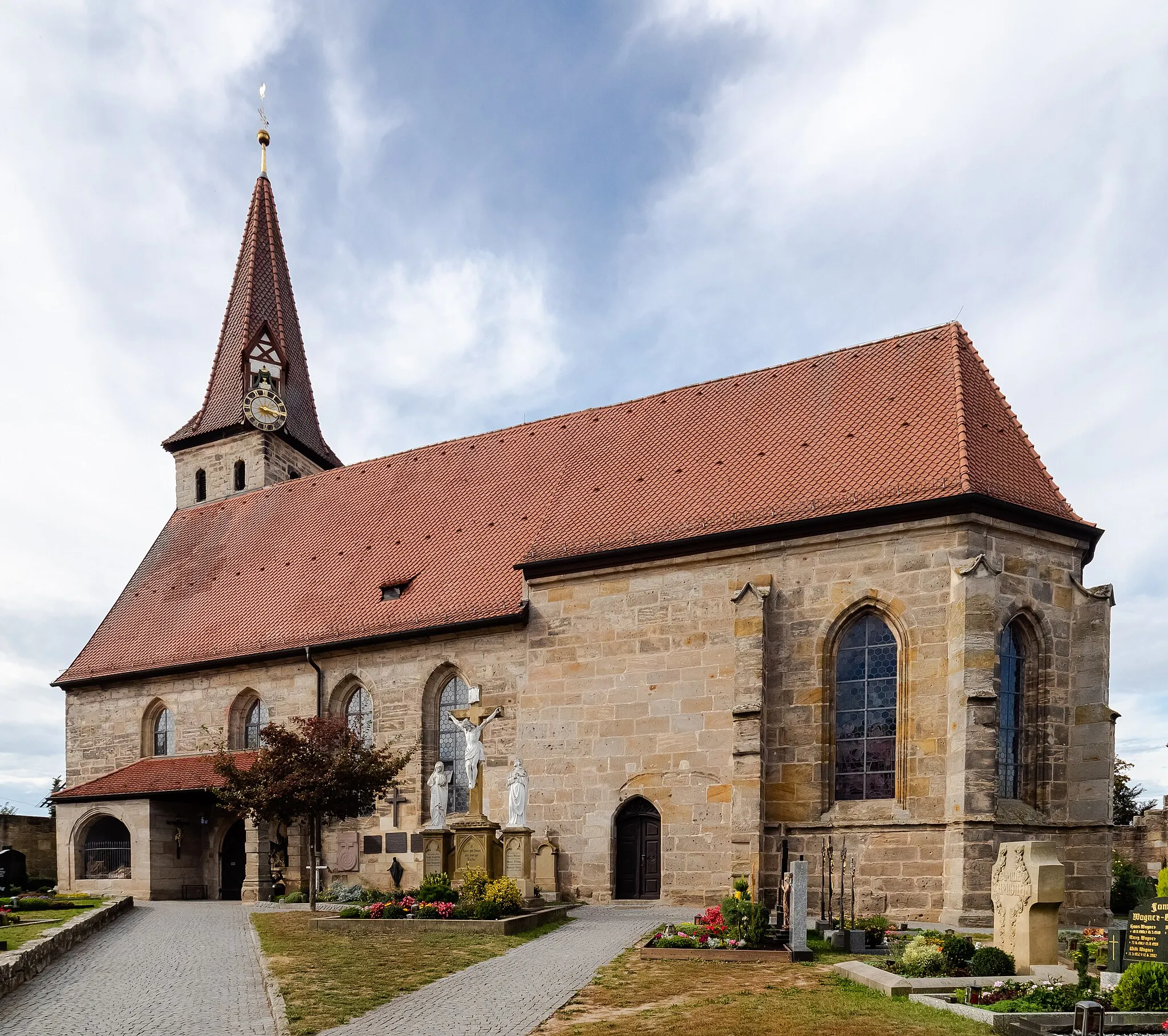
Neunkirchen am BrandTownNeunkirchen am Brand offers diverse attractions, from historic buildings to natural wonders, making it a worthwhile stop on your route.
87 km
87 km
Finish: Dormitz Village centerDormitz: Cycling paradise in Oberfranken.
Cycling routes nearby: