The Wild Side of Oberfranken Gravel Cycling
A gravel cycling route starting from Hiltpoltstein
Get ready for an adventurous gravel ride through the untamed landscapes near Hiltpoltstein
Map
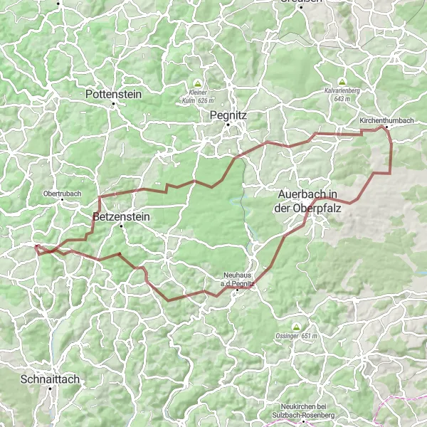
Challenge yourself with this epic gravel cycling route near Hiltpoltstein. With a total ascent of 1458 meters and a distance of 85 kilometers, it offers a thrilling experience for off-road enthusiasts. The route takes you through remote forests, rugged terrains, and hidden trails, providing a true sense of adventure. Highlights along the way include Großer Wasserstein, a prominent rock formation with fascinating geological features, and Neuhaus a.d.Pegnitz, a historic village known for its traditional crafts and cultural heritage.
gravel
85 km
1458 m
Savage
Route profile
Highlights on the route
0 km
0 km
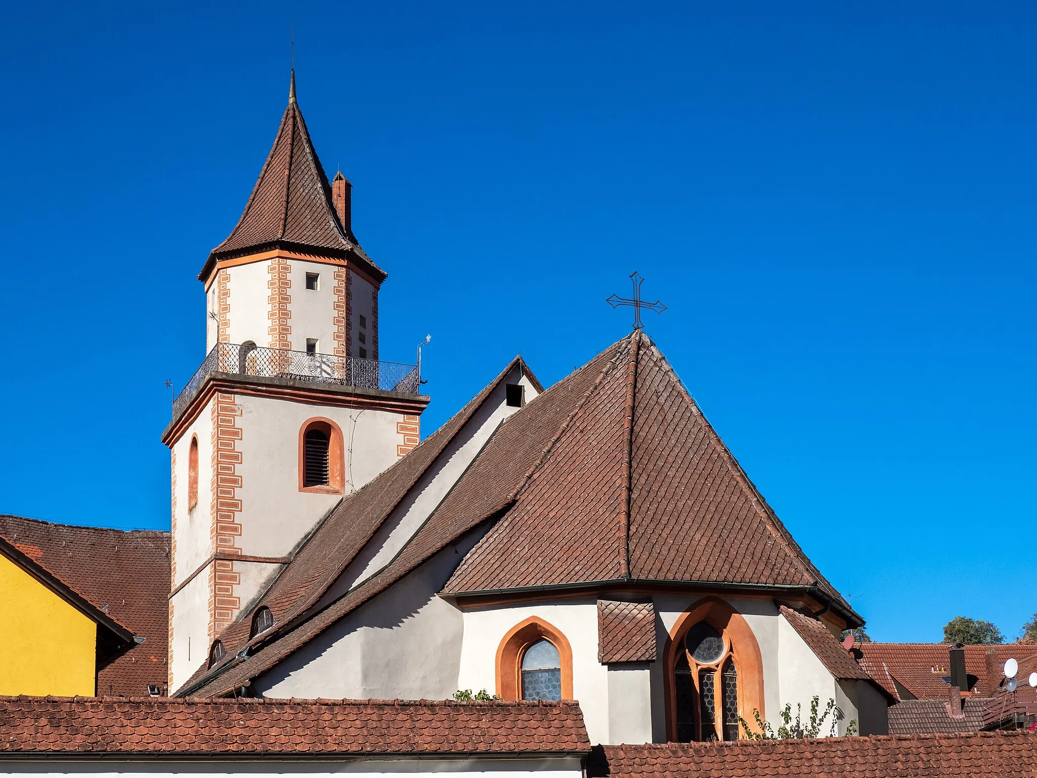
Start: Hiltpoltstein Village centerHiltpoltstein: Cycling adventures in Oberfranken with a touch of history.
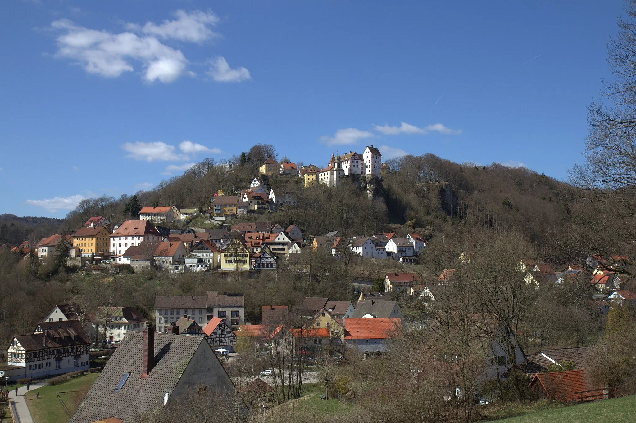
Hiltpoltstein is a locality in Germany, specifically in the region of Oberfranken. From a cyclist's perspective, this area offers a combination of flat and hilly terrains, providing opportunities for various levels of cycling difficulty. Additionally, Hiltpoltstein is located near Frankonian Switzerland, which is renowned for its well-known cycling climbs and scenic routes. History enthusiasts can explore medieval castles and architecture in the surrounding towns. Overall, Hiltpoltstein is an exciting location for cyclists who enjoy challenging climbs and historical attractions.11 km
11 km
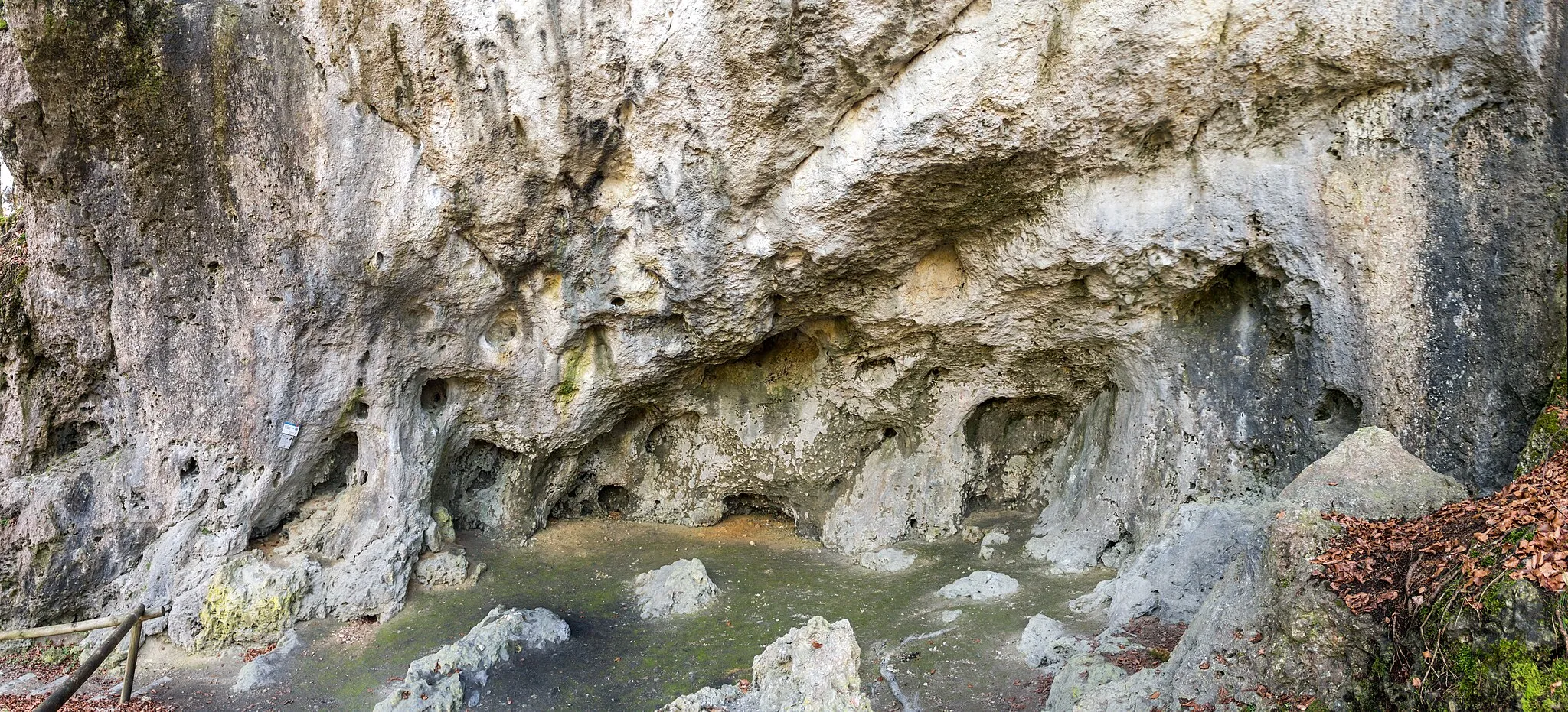
Großer Wasserstein520 mPeakGroßer Wasserstein is a unique natural wonder, featuring impressive rock formations and a sprawling forest landscape.
13 km
13 km
HüllVillageHüll is a tranquil village surrounded by lush green meadows, providing a peaceful oasis for cyclists.
27 km
27 km
Breitenstein510 mPeak ViewpointBreitenstein is a rugged peak offering panoramic views of the surrounding mountains and valleys.
31 km
31 km
OrtlesbrunnVillageOrtlesbrunn is a hidden gem, offering stunning viewpoints over the untouched landscapes of the area.
39 km
39 km
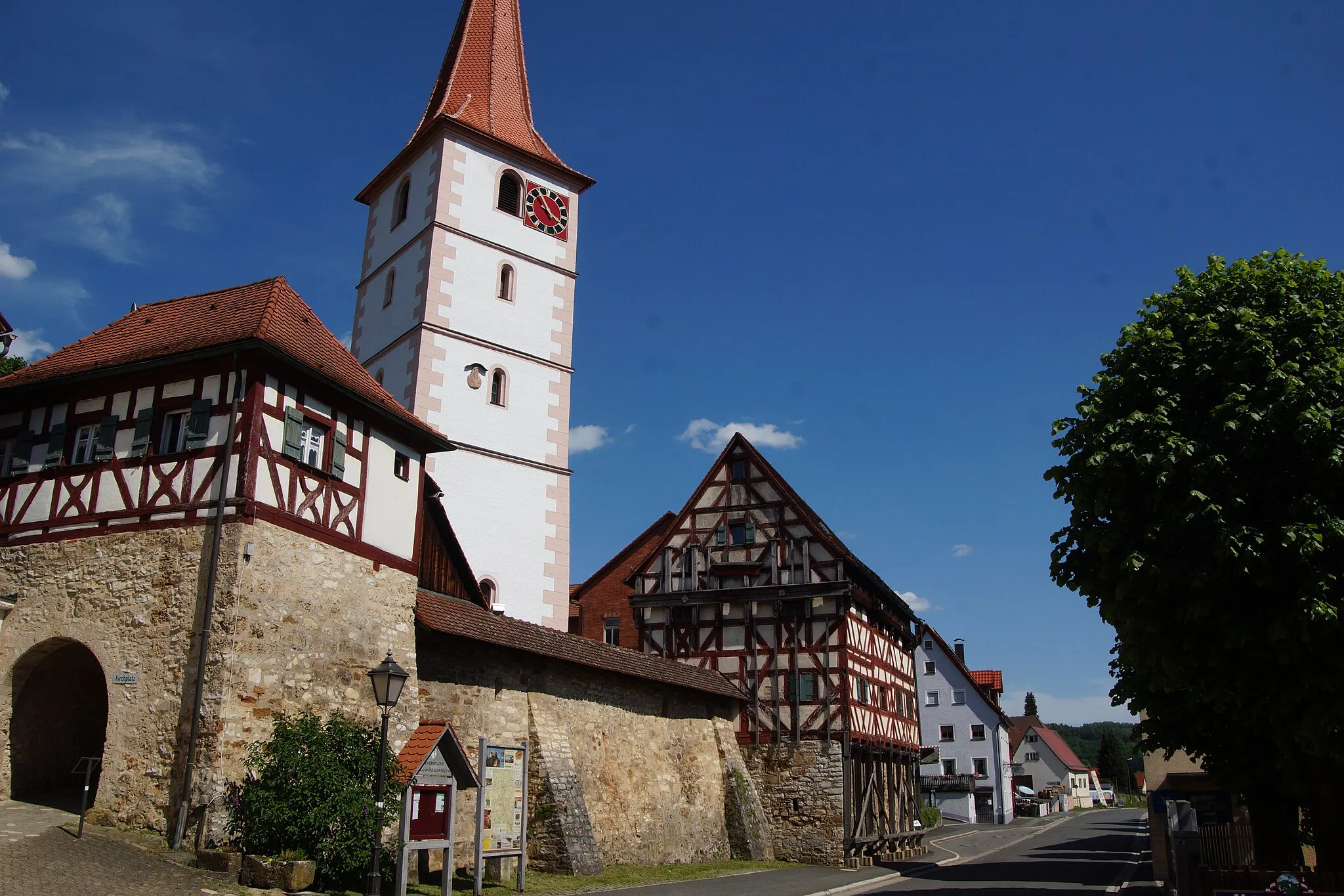
KirchenthumbachVillageKirchenthumbach is a charming Bavarian village with a welcoming atmosphere, ideal for a short break.
50 km
50 km
Ebersberg554 mPeakEbersberg is a scenic hill offering panoramic views of the surrounding forests and rolling hills.
62 km
62 km
Neuhaus a.d.PegnitzVillageNeuhaus a.d.Pegnitz is a historic village known for its traditional crafts, local produce, and vibrant cultural scene.
71 km
71 km
Weinberg531 mPeakWeinberg is a small settlement surrounded by vineyards, providing a true taste of the region's winemaking heritage.
80 km
80 km
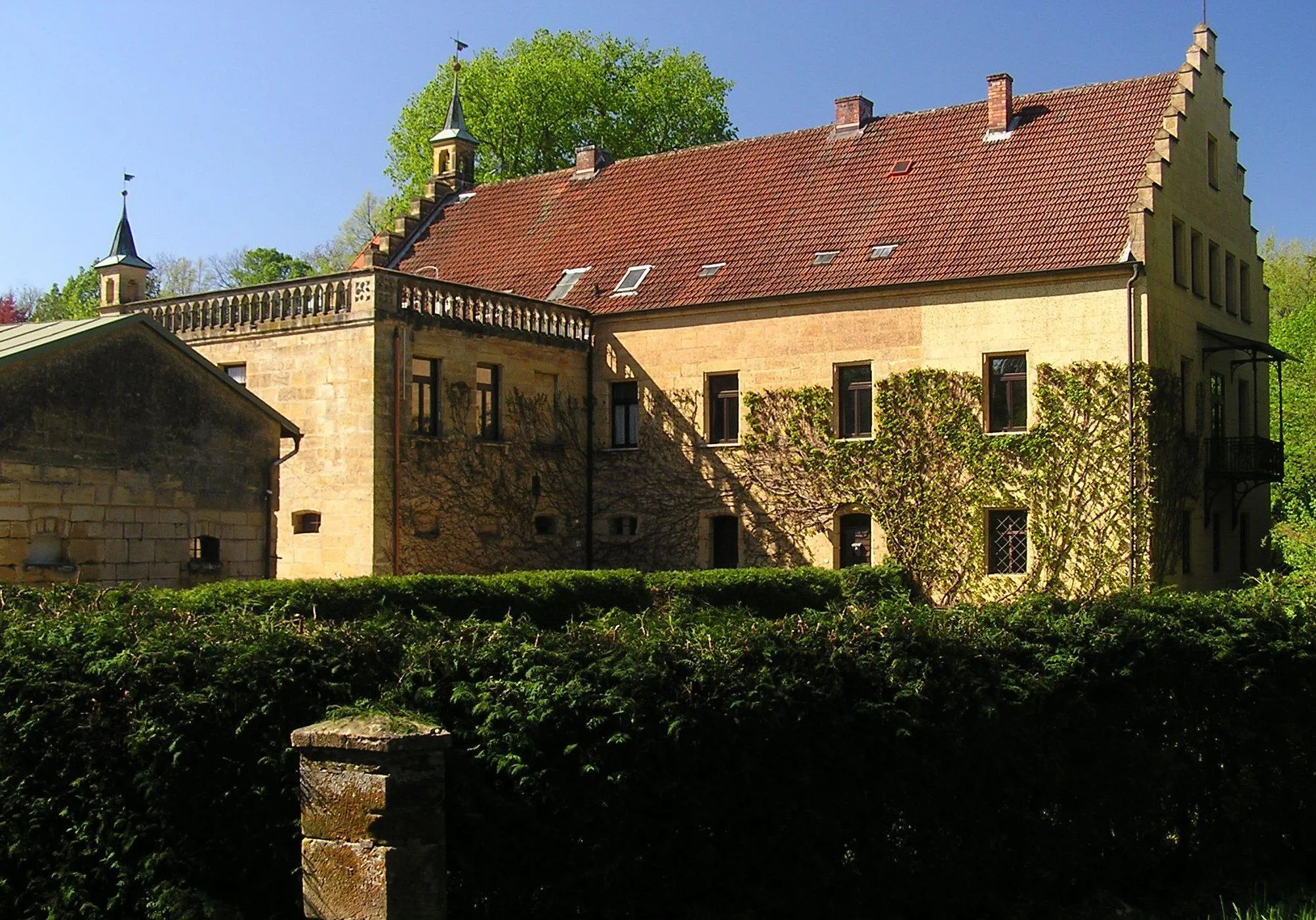
Burgstall StrahlenfelsCastleBurgstall Strahlenfels is a medieval castle ruin that offers panoramic views and a glimpse into the region's history.
84 km
84 km
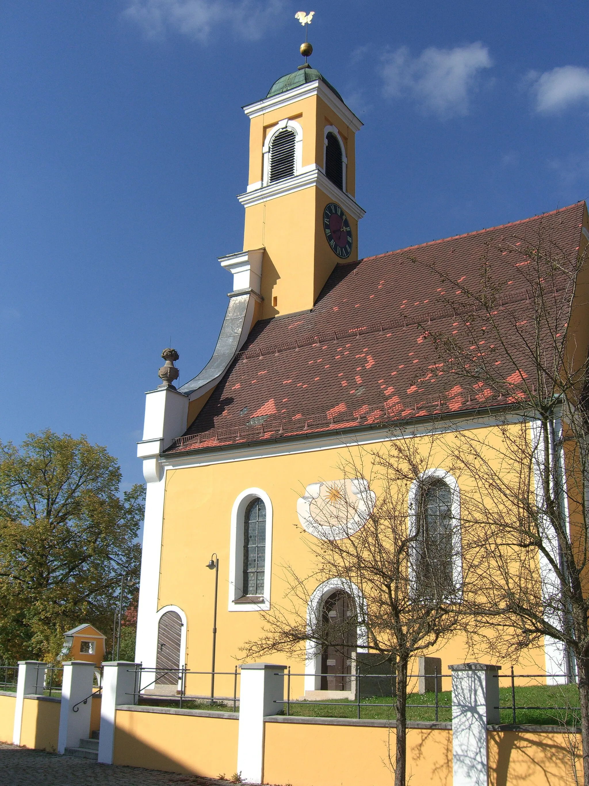
Eschenberg598 mPeakEschenberg is a small hill with a charming chapel displaying beautiful architecture and offering serene views.
85 km
85 km
Finish: Hiltpoltstein Village centerHiltpoltstein: Cycling adventures in Oberfranken with a touch of history.
Cycling routes from Hiltpoltstein:
The Bug Gravel Adventure Road Cycling Adventure through Egloffstein The Ultimate Road Cycling Challenge Exploring Gravel Roads Scenic Gravel Discovery The Hills of Hiltpoltstein Road Cycling Discover the Oberfranken Countryside Road Cycling The Wild Side of Oberfranken Gravel Cycling Explore the Hinterland Road Cycling Betzenstein and Schmidbergturm Cycling Route
Cycling routes nearby: