The Ultimate Road Cycling Challenge
A road cycling route starting from Hiltpoltstein
Take on the ultimate road cycling challenge near Hiltpoltstein
Map

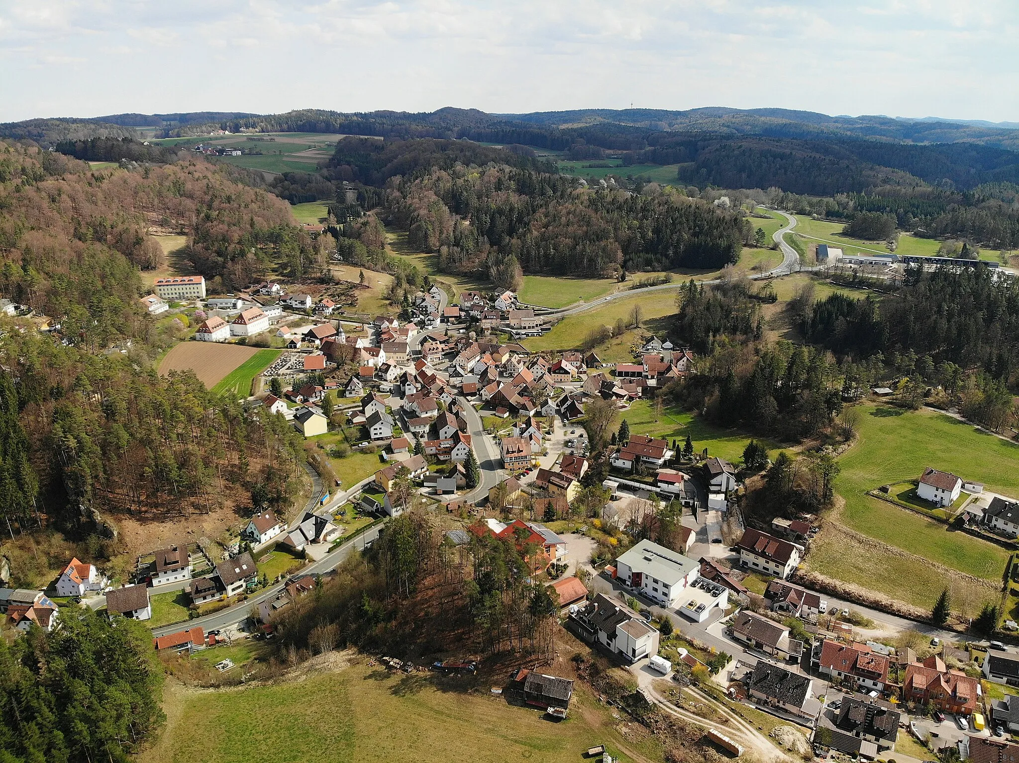
Prepare for an unforgettable road cycling adventure covering a distance of 103 km and an ascent of 1530 meters near Hiltpoltstein. This route is designed for experienced and well-trained amateur cyclists seeking a remarkable challenge. As you conquer the demanding climbs, you'll be rewarded with mesmerizing views and captivating landmarks. Delight in attractions such as Sassenreuth, Kirchenthumbach, and Weinberg along the way, each offering unique experiences and memorable moments.
road
103 km
1530 m
Savage
Route profile
Highlights on the route
0 km
0 km
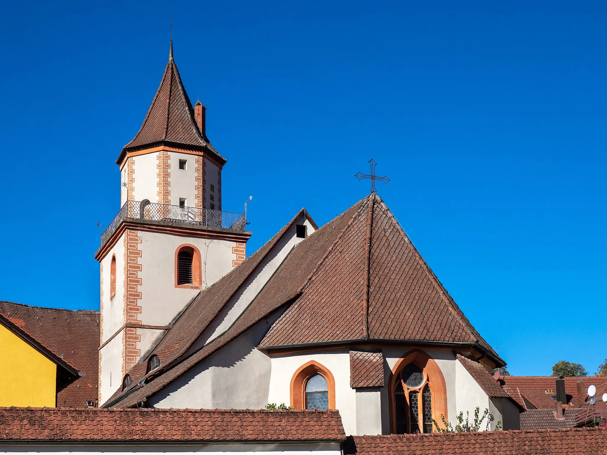
Start: Möchs Village centerHiltpoltstein: Cycling adventures in Oberfranken with a touch of history.
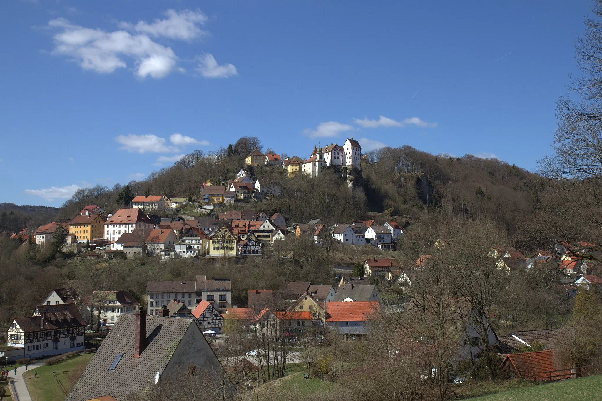
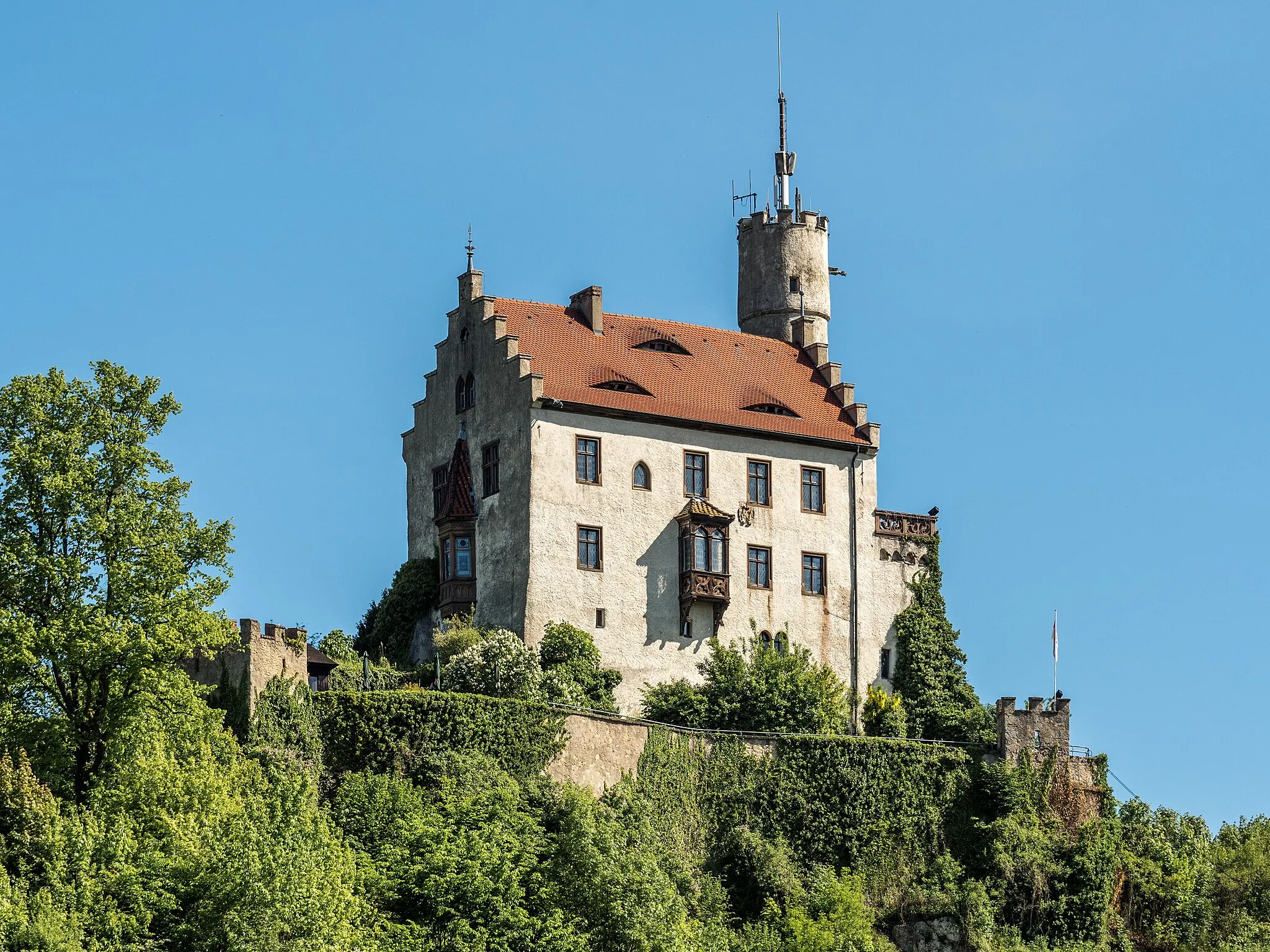
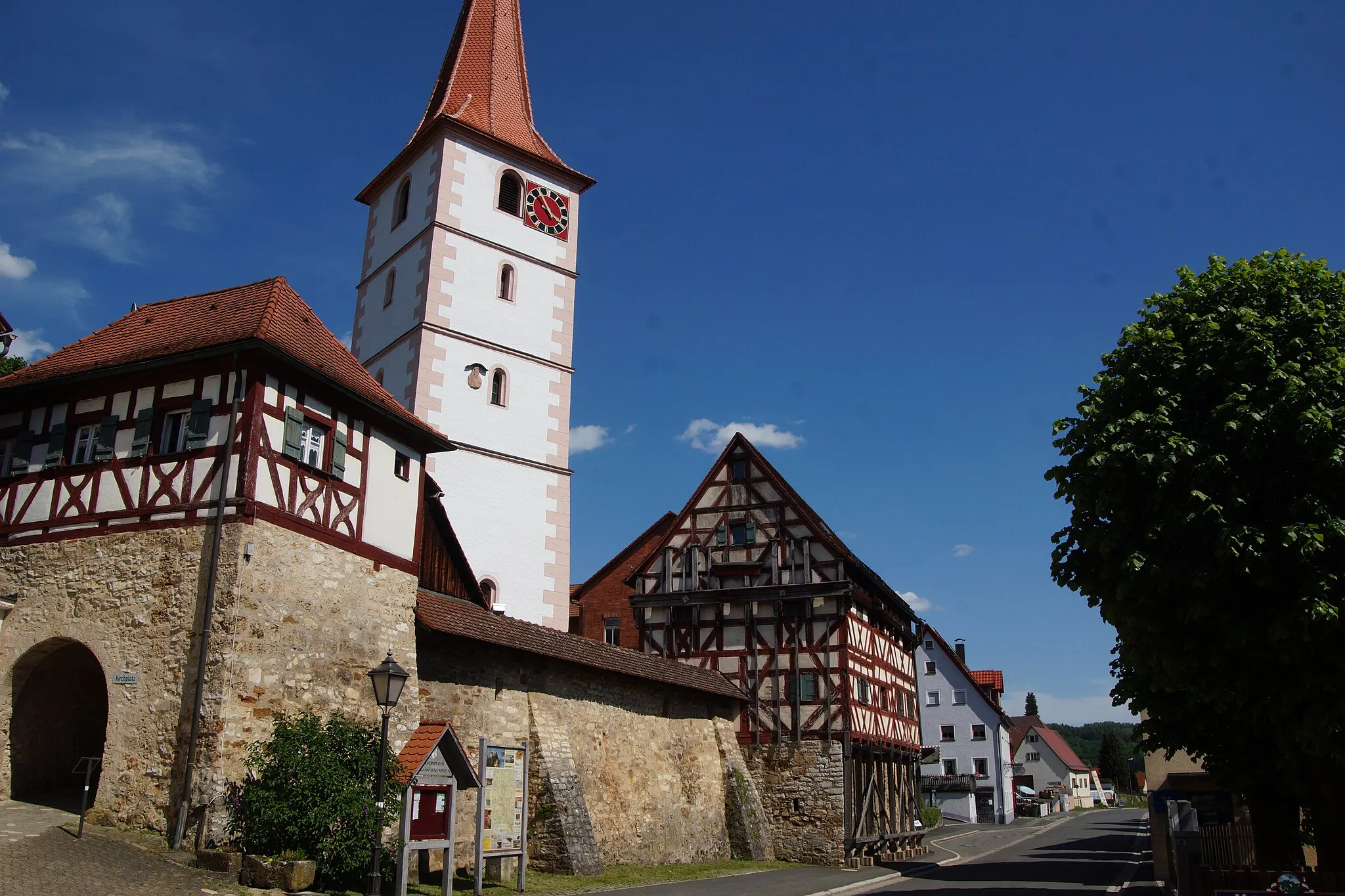
Hiltpoltstein is a locality in Germany, specifically in the region of Oberfranken. From a cyclist's perspective, this area offers a combination of flat and hilly terrains, providing opportunities for various levels of cycling difficulty. Additionally, Hiltpoltstein is located near Frankonian Switzerland, which is renowned for its well-known cycling climbs and scenic routes. History enthusiasts can explore medieval castles and architecture in the surrounding towns. Overall, Hiltpoltstein is an exciting location for cyclists who enjoy challenging climbs and historical attractions.17 km
17 km
Atzenberg467 mPeakExperience the charm of Atzenberg, a small village known for its peaceful ambiance and stunning country views.
30 km
30 km
Auf der HutViewpointAuf der Hut offers a glorious panorama of the surrounding hills and valleys, making it a perfect spot for a rest.
38 km
38 km
SassenreuthVillagePass through Sassenreuth and appreciate its timeless tranquility set against a backdrop of scenic landscapes.
48 km
48 km
AussichtsplattformViewpointLook forward to reaching the Aussichtsplattform, an observation deck offering breathtaking vistas and a chance to catch your breath.
57 km
57 km
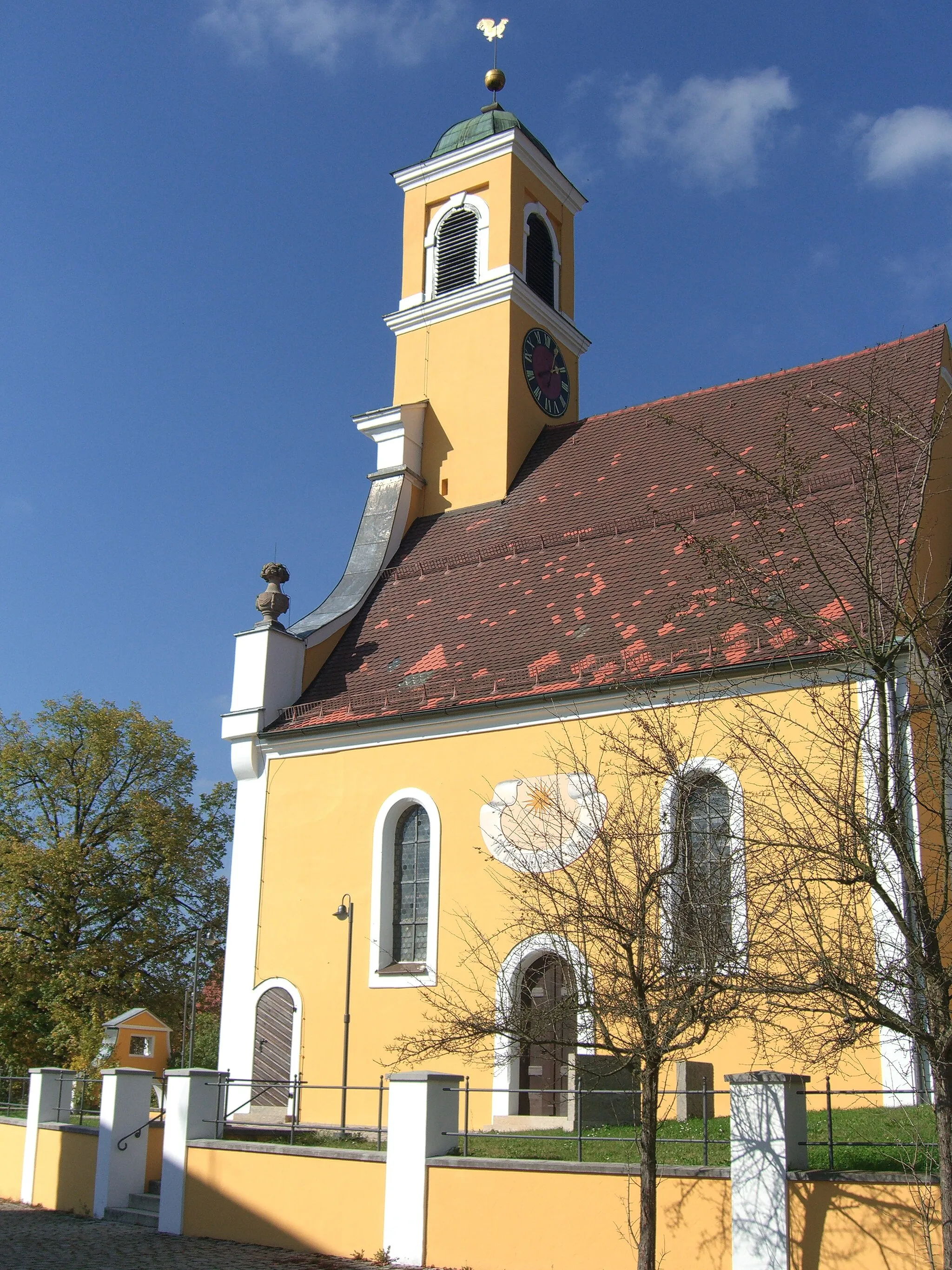
KirchenthumbachVillageDiscover Kirchenthumbach, a charming village known for its captivating architecture and welcoming atmosphere.
67 km
67 km
Ebersberg554 mPeakEbersberg lures you with its idyllic setting, featuring rolling hills and unspoiled natural beauty.
79 km
79 km
Neuhaus a.d.PegnitzVillageArrive at Neuhaus a.d.Pegnitz, a picturesque town surrounded by lush forests, inviting you to explore its secrets.
89 km
89 km
Weinberg531 mPeakWeinberg captivates with its terraced vineyards, where you can learn about winemaking and enjoy sweeping views.
102 km
102 km
AlmosVillageAlmos offers a haven of tranquility nestled amidst pristine countryside, perfect for contemplative moments.
103 km
103 km
Arzberg575 mPeak103 km
103 km
Finish: Möchs Village centerHiltpoltstein: Cycling adventures in Oberfranken with a touch of history.
Cycling routes from Hiltpoltstein:
The Bug Gravel Adventure Road Cycling Adventure through Egloffstein The Ultimate Road Cycling Challenge Exploring Gravel Roads Scenic Gravel Discovery The Hills of Hiltpoltstein Road Cycling Discover the Oberfranken Countryside Road Cycling The Wild Side of Oberfranken Gravel Cycling Explore the Hinterland Road Cycling Betzenstein and Schmidbergturm Cycling Route
Cycling routes nearby: