Discover the Oberfranken Countryside Road Cycling
A road cycling route starting from Hiltpoltstein
Embark on a scenic journey through the picturesque Oberfranken region
Map
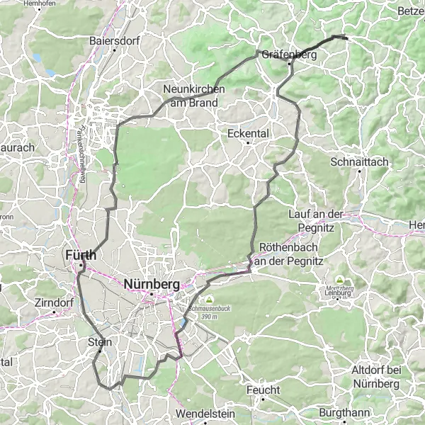
Explore the beautiful landscapes of Oberfranken with this road cycling route near Hiltpoltstein. With a total ascent of 1047 meters and a distance of 106 kilometers, it offers a good challenge for amateur cyclists. The route takes you through charming villages, lush forests, and rolling hills, providing a true taste of the region's natural beauty. Highlights along the way include the historic Igensdorf, the majestic Ochsenkopf with its panoramic views, and the cultural attractions in Behringersdorf.
road
106 km
1047 m
Tough
Route profile
Highlights on the route
0 km
0 km
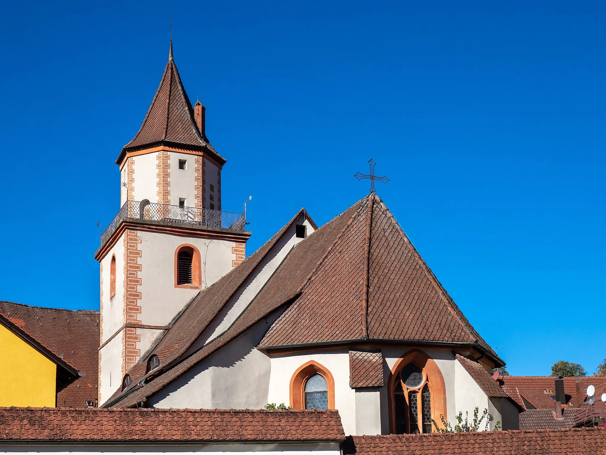
Start: Hiltpoltstein Village centerHiltpoltstein: Cycling adventures in Oberfranken with a touch of history.
Hiltpoltstein is a locality in Germany, specifically in the region of Oberfranken. From a cyclist's perspective, this area offers a combination of flat and hilly terrains, providing opportunities for various levels of cycling difficulty. Additionally, Hiltpoltstein is located near Frankonian Switzerland, which is renowned for its well-known cycling climbs and scenic routes. History enthusiasts can explore medieval castles and architecture in the surrounding towns. Overall, Hiltpoltstein is an exciting location for cyclists who enjoy challenging climbs and historical attractions.8 km
8 km
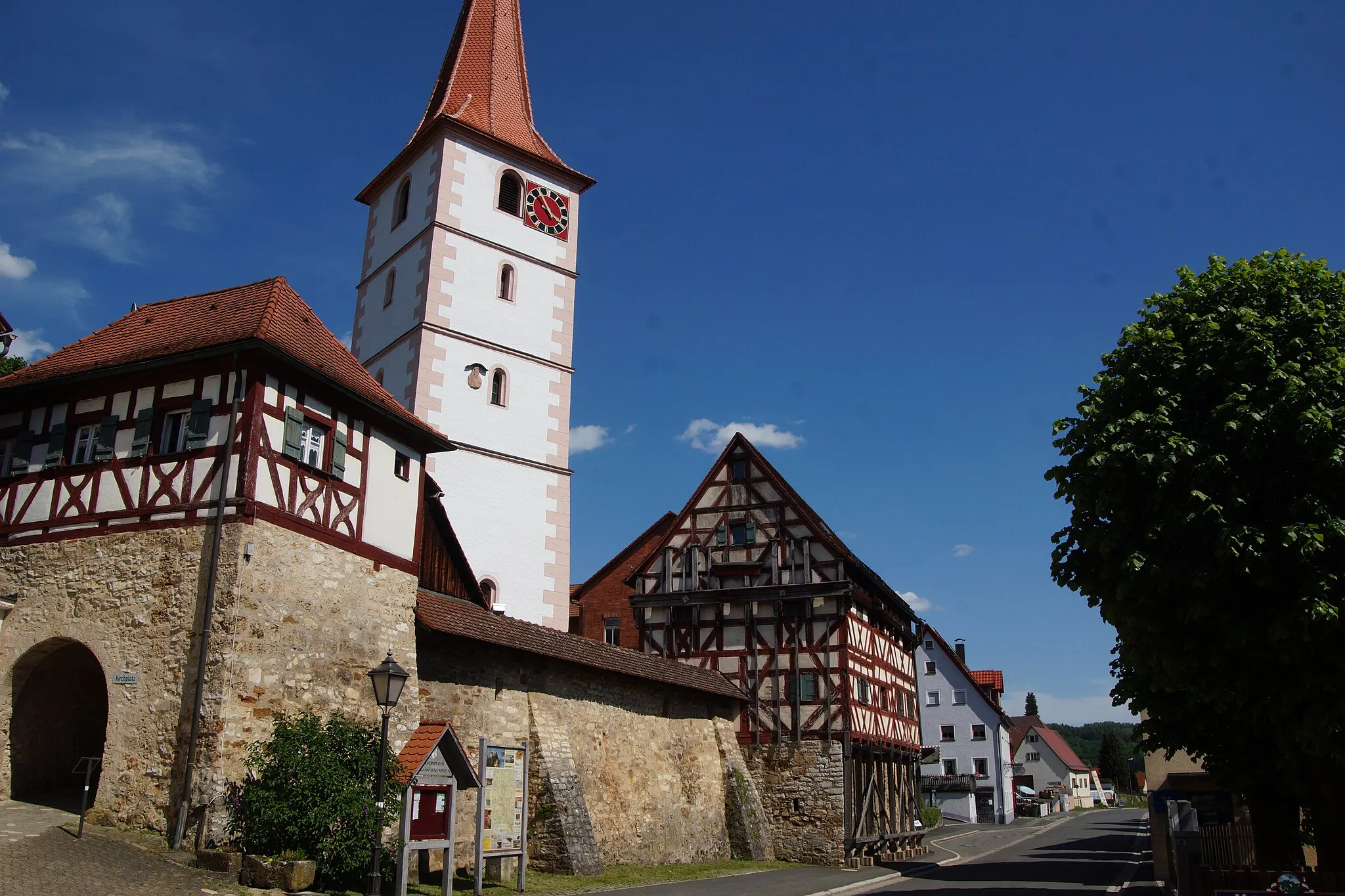
IgensdorfVillageIgensdorf is a medieval town with well-preserved timber-framed houses and historic charm.
20 km
20 km
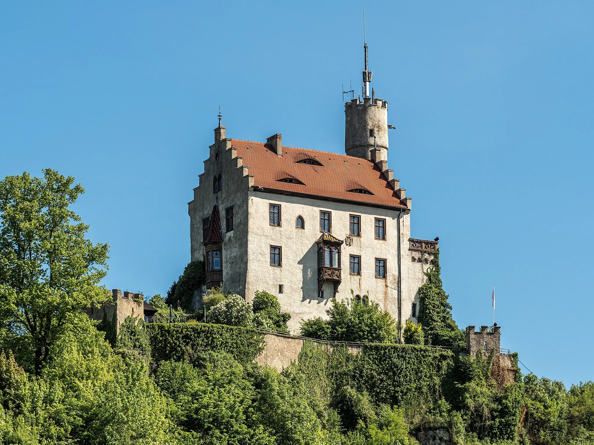
Ochsenkopf440 mPeakOchsenkopf is a popular destination for outdoor activities, offering hiking trails and stunning viewpoints.
28 km
28 km
BehringersdorfSub-urbBehringersdorf is known for its important archaeological sites, including the remains of a Roman fortress.
38 km
38 km
KongresshalleAttractionKongresshalle in Nuremberg is an architectural masterpiece and home to various cultural events and exhibitions.
46 km
46 km
Föhrenbuck368 mPeakFöhrenbuck is a scenic spot with panoramic views over the surrounding countryside.
56 km
56 km
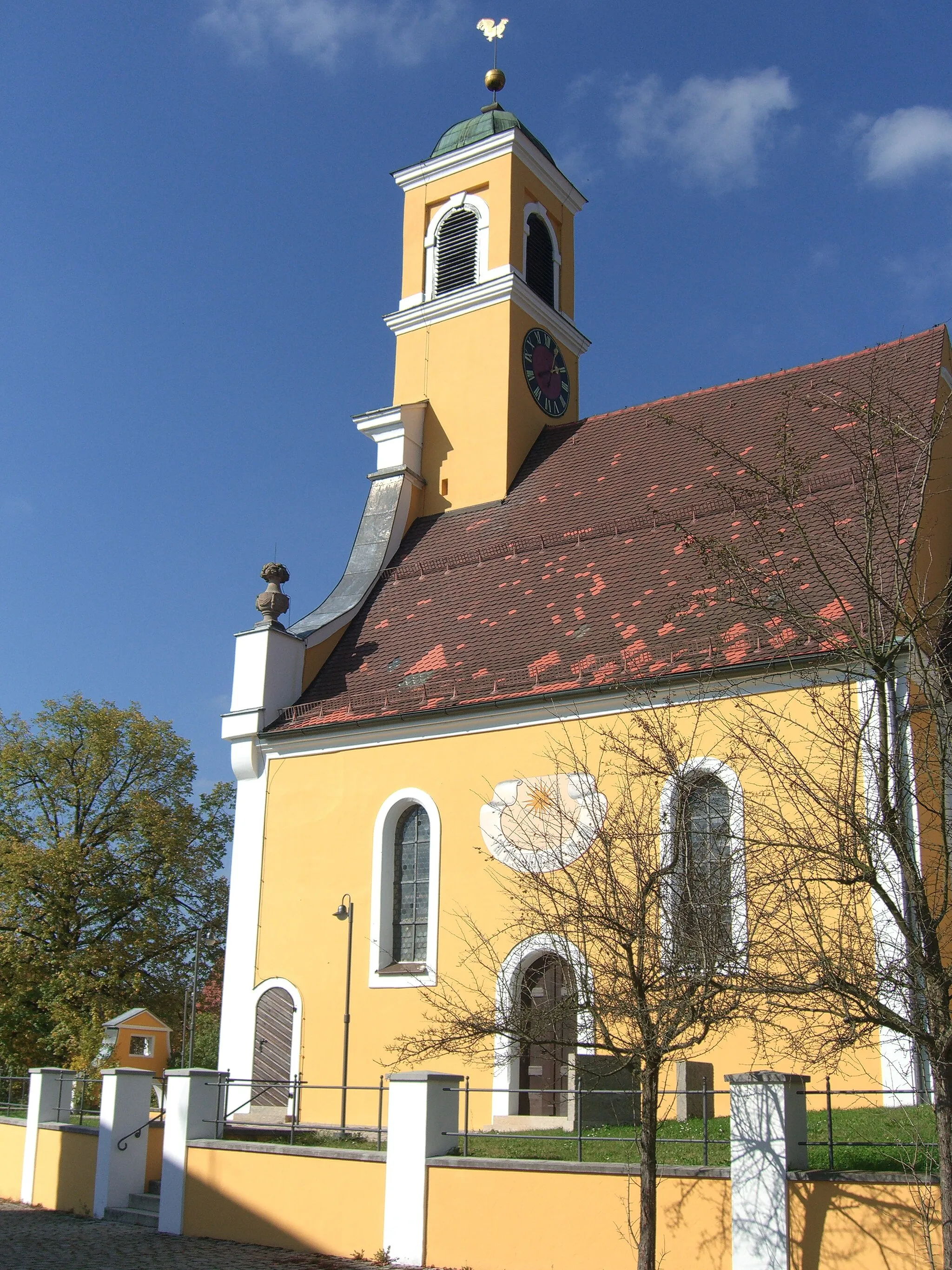
SteinTownStein is a historic town located along the Pegnitz River, offering medieval architecture and a peaceful atmosphere.
68 km
68 km
Lerchenbühl307 mPeakLerchenbühl is a hilltop offering magnificent views of the Oberfranken region and its idyllic countryside.
82 km
82 km
BuckenhofVillageBuckenhof is a small village with a charming atmosphere, known for its beautiful gardens and peaceful surroundings.
90 km
90 km
Gugel375 mPeakGugel is a hill with a distinctive cone shape, providing a unique landscape feature along the route.
98 km
98 km
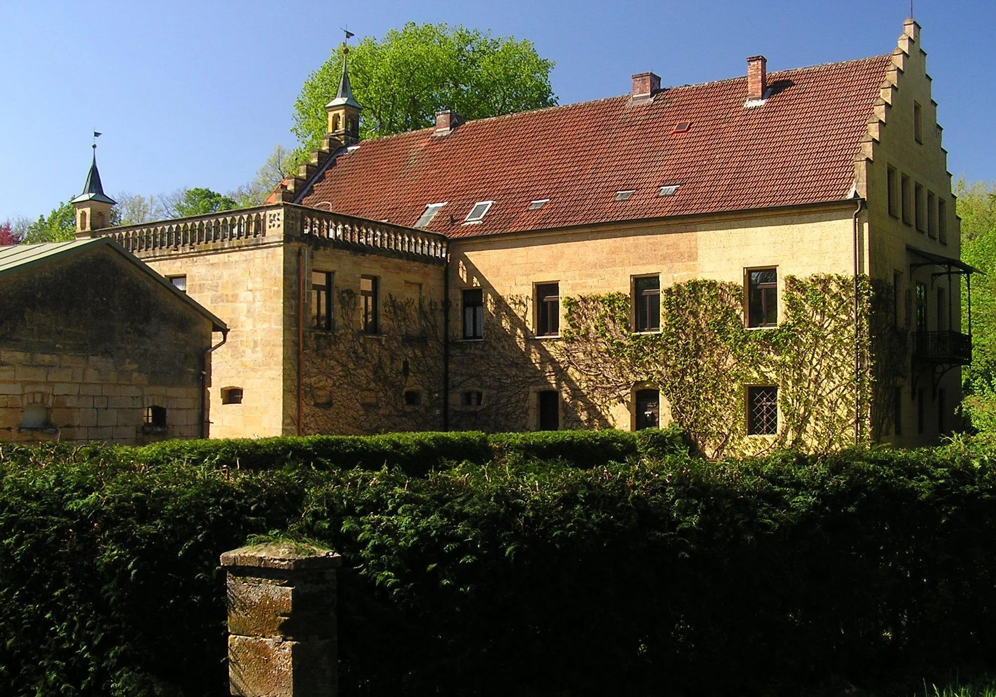
Eberhardsberg533 mPeakEberhardsberg is a historic castle ruin that adda a sense of mystique to the journey and overlooks the surrounding landscape.
106 km
106 km
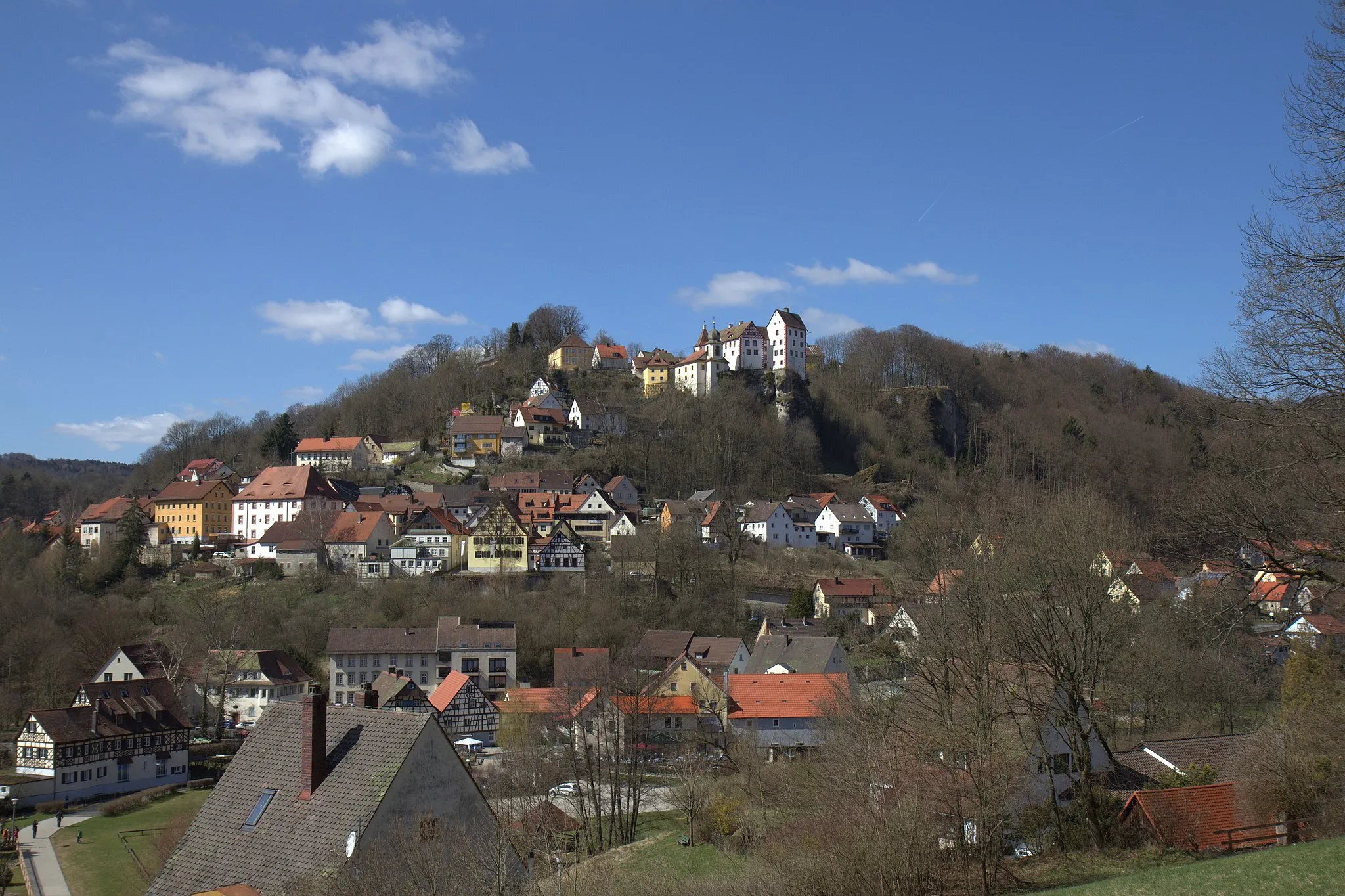
HiltpoltsteinVillageHiltpoltstein is a picturesque Bavarian town with a rich history and charming medieval architecture.
106 km
106 km
Finish: Hiltpoltstein Village centerHiltpoltstein: Cycling adventures in Oberfranken with a touch of history.
Cycling routes from Hiltpoltstein:
The Bug Gravel Adventure Road Cycling Adventure through Egloffstein The Ultimate Road Cycling Challenge Exploring Gravel Roads Scenic Gravel Discovery The Hills of Hiltpoltstein Road Cycling Discover the Oberfranken Countryside Road Cycling The Wild Side of Oberfranken Gravel Cycling Explore the Hinterland Road Cycling Betzenstein and Schmidbergturm Cycling Route
Cycling routes nearby: