Schödelsberg Circuit
A gravel cycling route starting from Rehau
Exhilarating gravel ride through scenic landscapes
Map
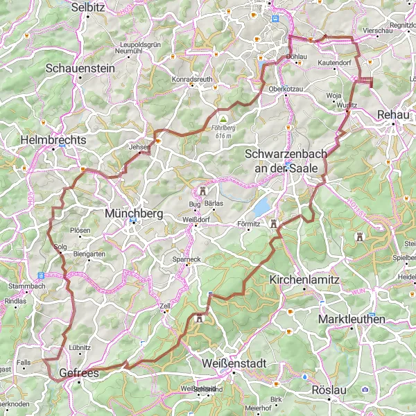
Embark on this epic gravel route that takes you through picturesque countryside and charming villages. With a challenging ascent of 1385 meters over a distance of 88 kilometers, this ride promises thrills and beautiful views along the way. The Schödelsberg highlight at 10 kilometers offers a stunning panoramic view of the surrounding hills. Explore the Großer Waldstein, known for its mystical rock formations, at 25 kilometers and continue to the enchanting Rotes Schloß at the same distance. Other highlights include Gefrees at 36 kilometers, Fleisnitz at 45 kilometers, and Silberbach at 69 kilometers. The route ends with a rewarding descent after passing Döhlau at 77 kilometers.
gravel
88 km
1385 m
Tough
Route profile
Highlights on the route
0 km
0 km
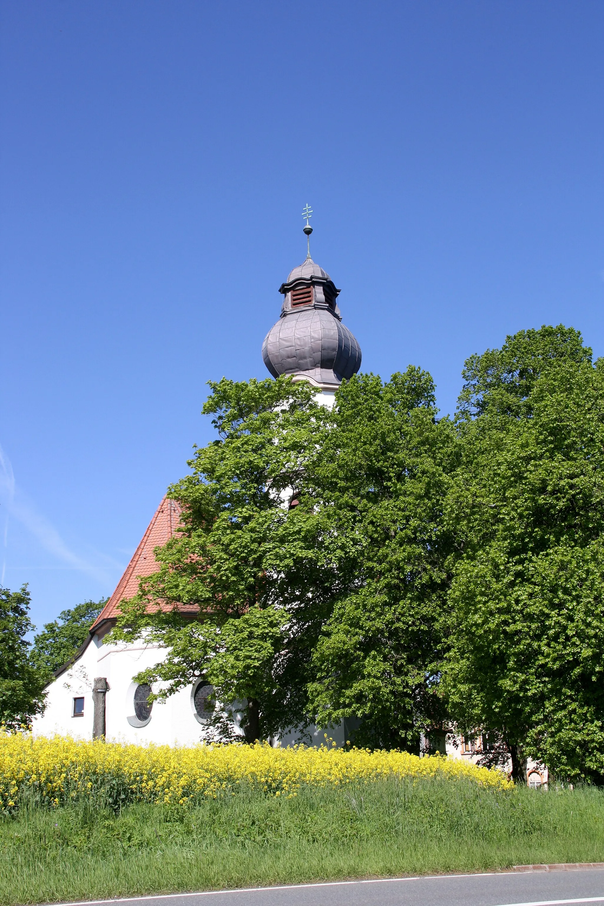
Start: Neukühschwitz Village centerRehau: Cycling delights in Rehau: A versatile destination for road and gravel cyclists.
Located in Oberfranken region of Germany, Rehau offers a diverse range of cycling opportunities for road and gravel cyclists. The locality boasts a mix of flat and hilly terrains, allowing cyclists to select routes suitable for their preferences. The area is known for its well-maintained cycling paths, enabling cyclists to explore the charming countryside at their own pace. One popular cycling route nearby is the Bavarian Bayreuth Gravity Track, which attracts riders from all over the country. With its cycling-friendly infrastructure and varied landscapes, Rehau receives a rank of 4 for its suitability for cycling.10 km
10 km
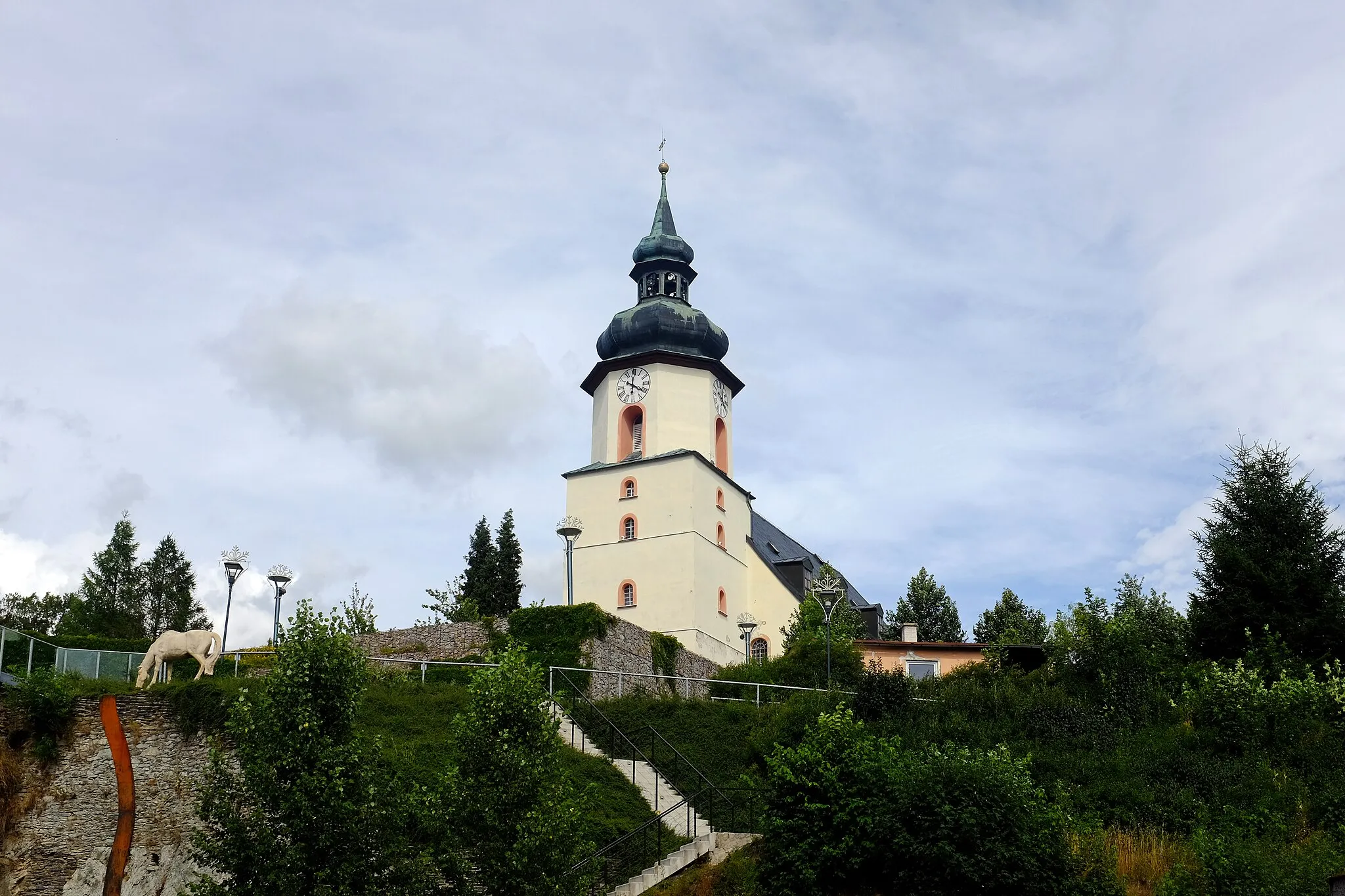
Schödelsberg553 mPeakSchödelsberg offers a breathtaking panoramic view.
25 km
25 km
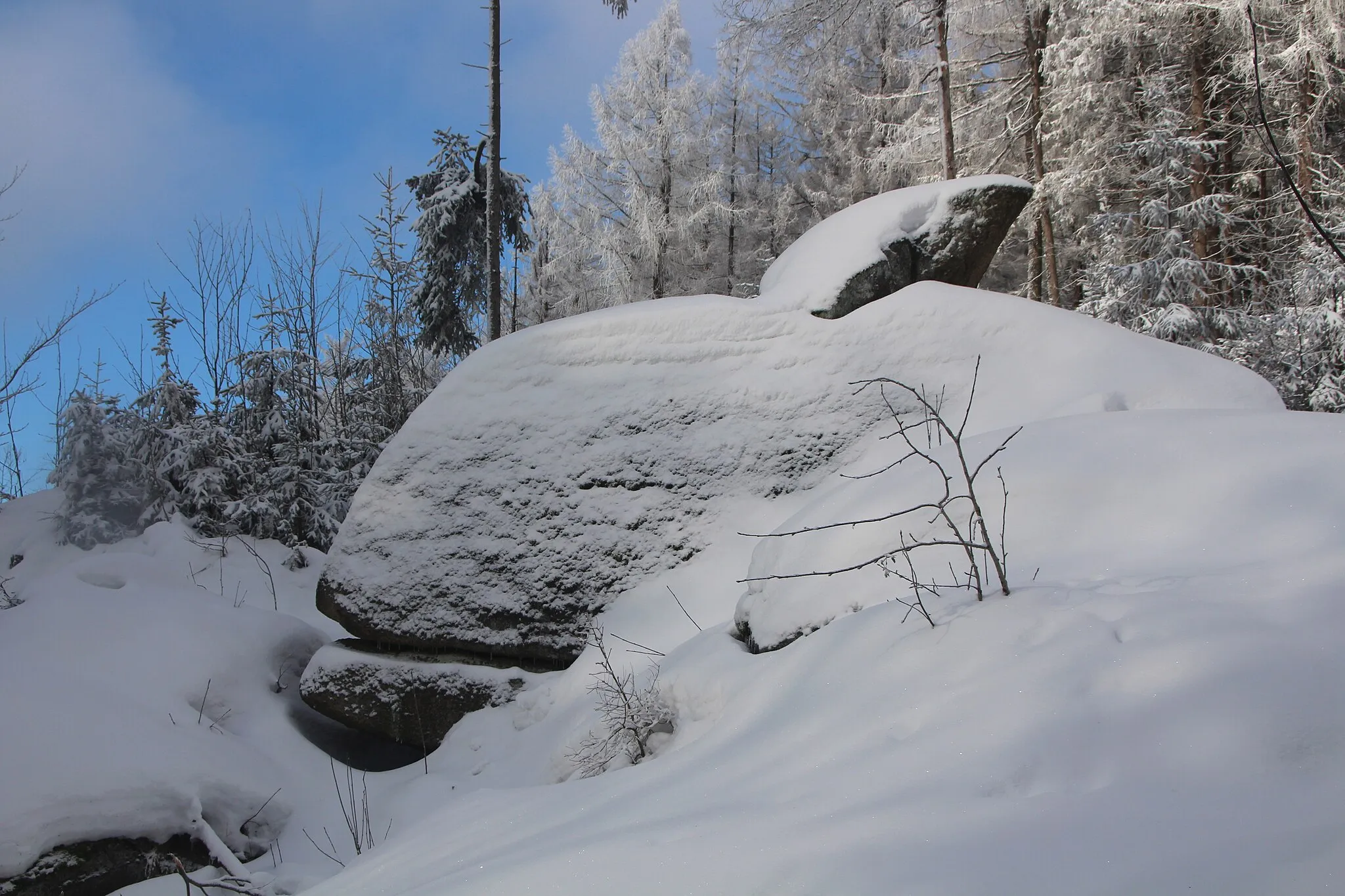
Großer Waldstein877 mPeakDiscover the mystical rock formations of Großer Waldstein.
25 km
25 km
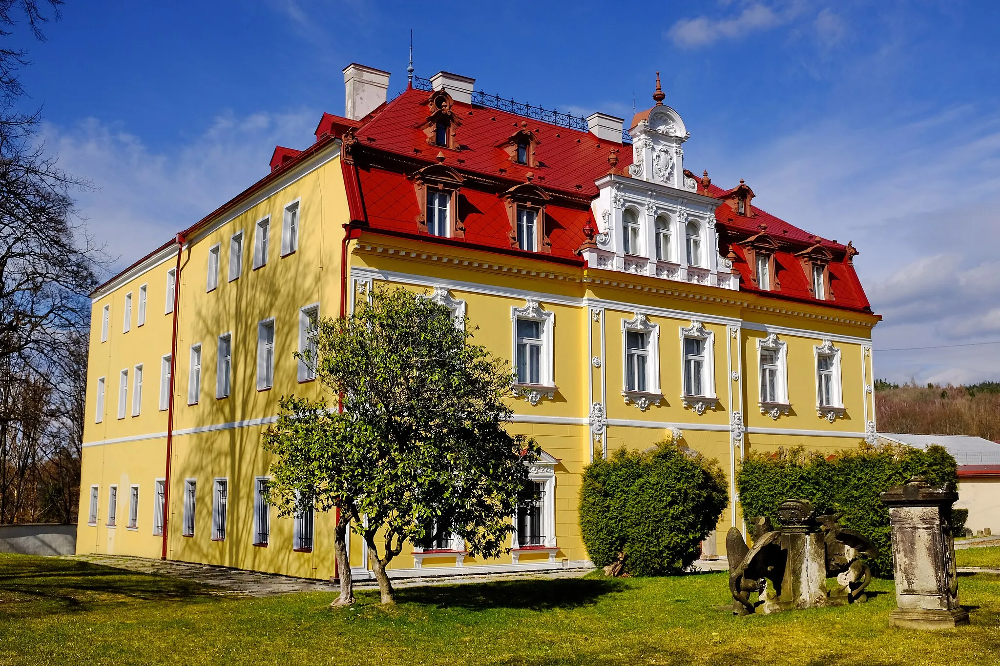
Rotes SchloßCastleVisit the enchanting Rotes Schloß.
36 km
36 km
GefreesTownExplore the picturesque village of Gefrees.
45 km
45 km
FleisnitzVillageExperience the charm of the quaint village of Fleisnitz.
69 km
69 km
SilberbachVillageDiscover the tranquility of Silberbach.
70 km
70 km
Föhrlberg616 mPeakEnjoy the scenic beauty of Föhrlberg.
77 km
77 km
DöhlauVillagePass through the charming village of Döhlau.
84 km
84 km
DraisendorfVillageVisit the peaceful village of Draisendorf.
88 km
88 km
Finish: Neukühschwitz Village centerRehau: Cycling delights in Rehau: A versatile destination for road and gravel cyclists.
Cycling routes from Rehau:
Regnitzlosau Loop Rehau Circuit Hof Adventure Weißdorf Loop Gravel Adventure Forest Adventure Hills and Valleys Hidden Beauty Challenging Adventure Nature's Rhapsody Historical Charm and Natural Beauty Road Loop Rural Delights and Charming Landscapes Gravel Loop Faßmannsreuth - Rehau - Summits and Nature Gravel Loop The Waldstein Loop Schödelsberg Circuit Rehau - Panoramic Summits and Cultural Ventures Road Loop Rehau Adventure Loop
Cycling routes nearby: