Exploring the Rural Side of Weilersbach
A gravel cycling route starting from Weilersbach
Embark on a gravel cycling adventure and discover the hidden gems of Weilersbach's rural landscapes
Map

Get off the beaten path and explore the rural side of Weilersbach on this 70-kilometer gravel cycling route. With an ascent of 719 meters, this route is of moderate difficulty, suitable for well-trained amateur cyclists seeking a challenge. The epicness rating is set at 3, as it covers some beautiful countryside and provides a refreshing escape from the urban hustle and bustle.
gravel
70 km
719 m
Tough
Route profile
Highlights on the route
0 km
0 km
Start: Mittlerweilersbach Village centerWeilersbach: Serene cycling routes in Oberfranken, Germany.
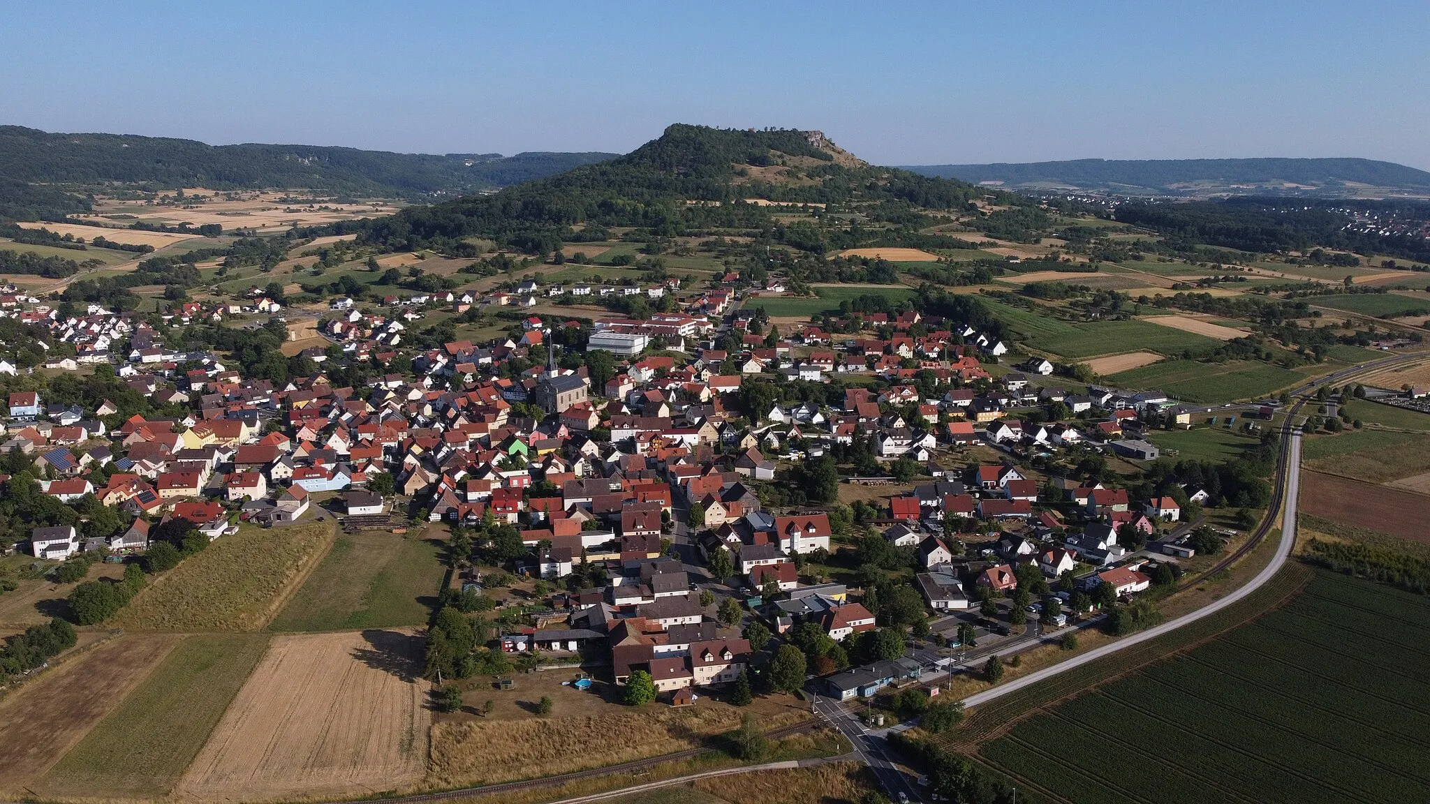
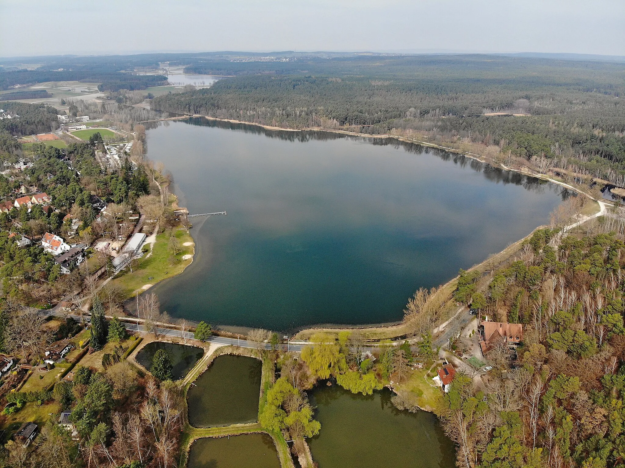
Weilersbach, located in Oberfranken, Germany, is a suitable area for road and gravel cyclists. The locality offers peaceful routes through picturesque landscapes, providing cyclists with a pleasant riding experience. There are no famous cycling-related spots or well-known climbs nearby, but Weilersbach still offers plenty of opportunities for cyclists to enjoy their rides and explore the beautiful surroundings. With its peaceful atmosphere and cycling-friendly culture, Weilersbach is a good choice for cyclists looking for a serene cycling experience.4 km
4 km
Kellerberg340 mPeakKellerberg is a small hill located along the route, offering panoramic views of the surrounding area.
11 km
11 km
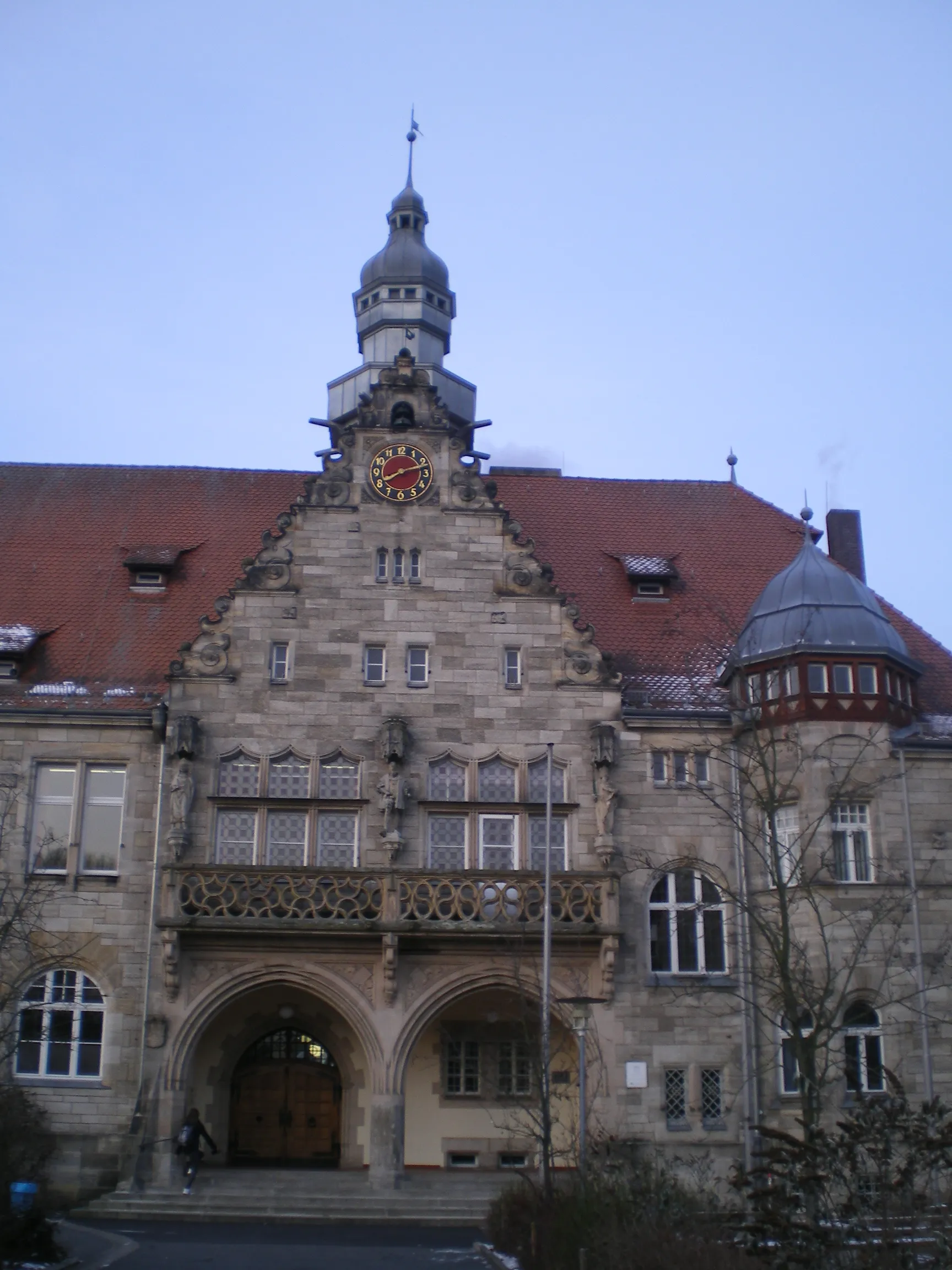
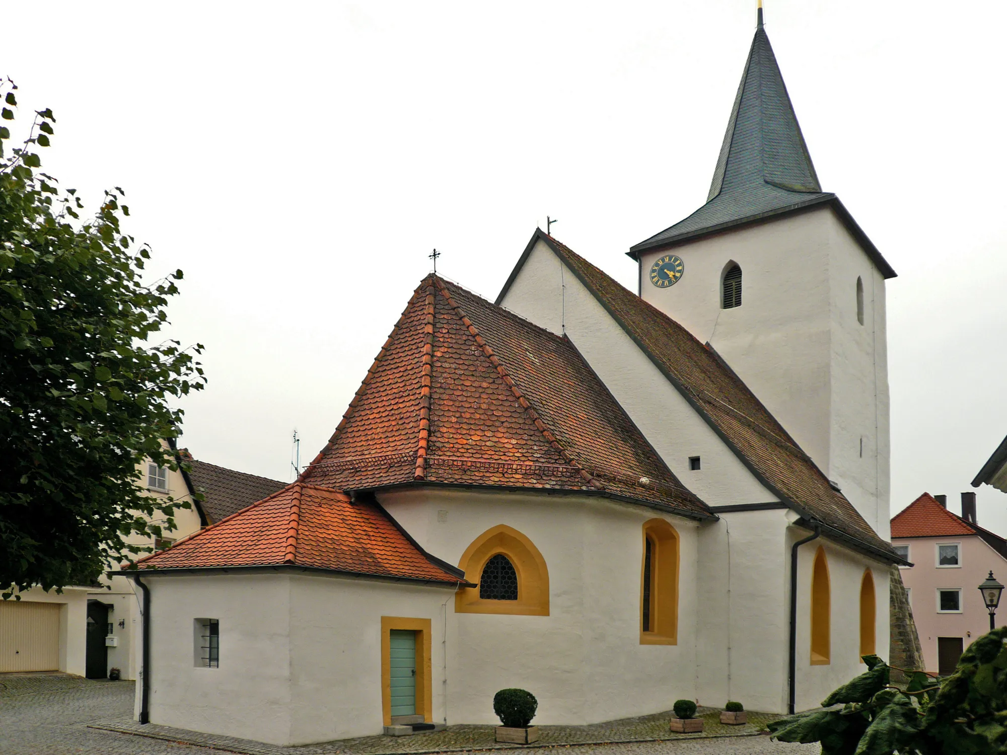
HausenVillageHausen is a sleepy village with traditional Franconian charm and quaint little streets.
22 km
22 km
Dreiberg305 mPeakDreiberg is a hidden gem surrounded by rolling hills and lush green fields.
28 km
28 km
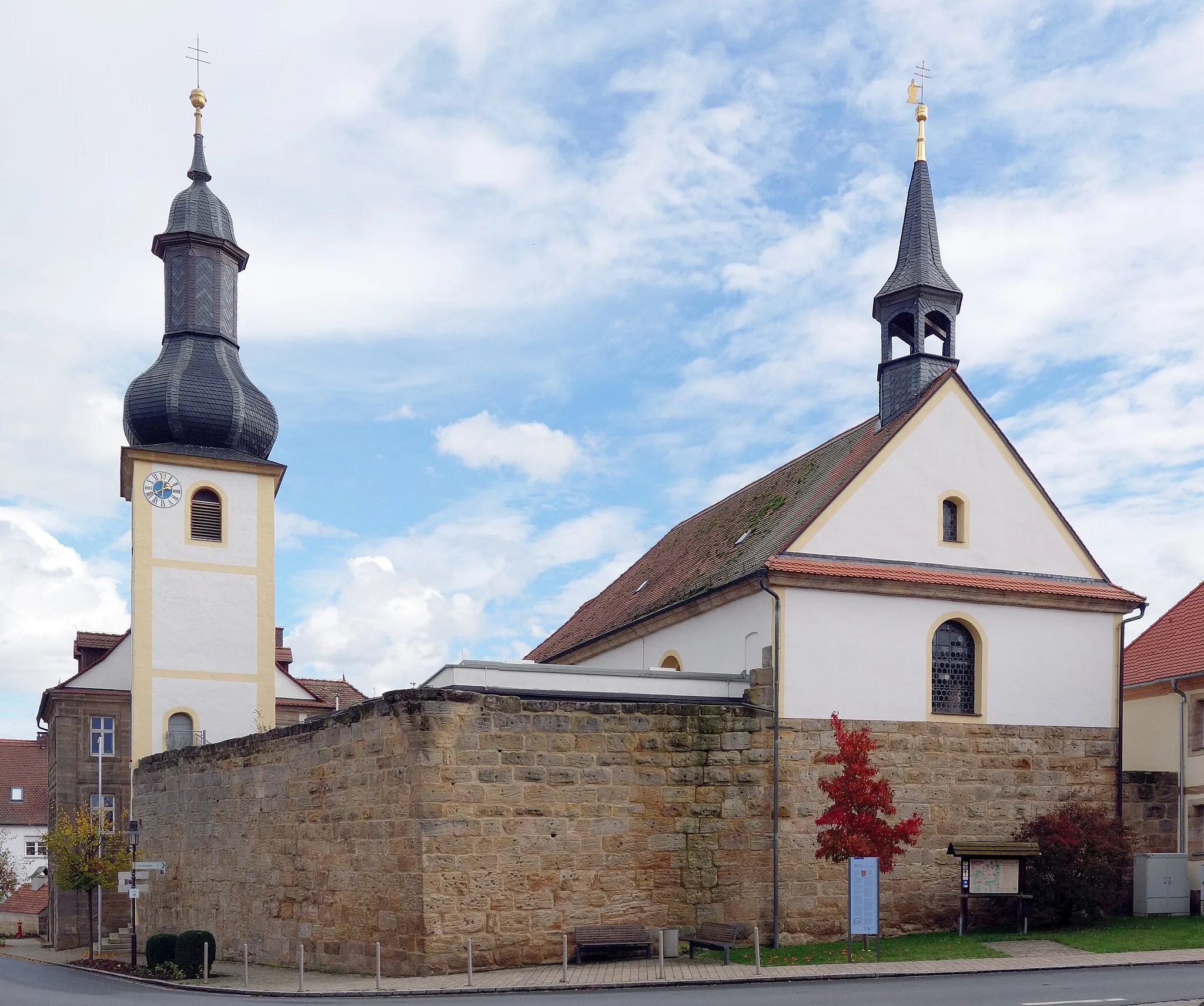
GroßenseebachVillageGroßenseebach is a tranquil village that invites cyclists to take a break and enjoy its peaceful atmosphere.
43 km
43 km
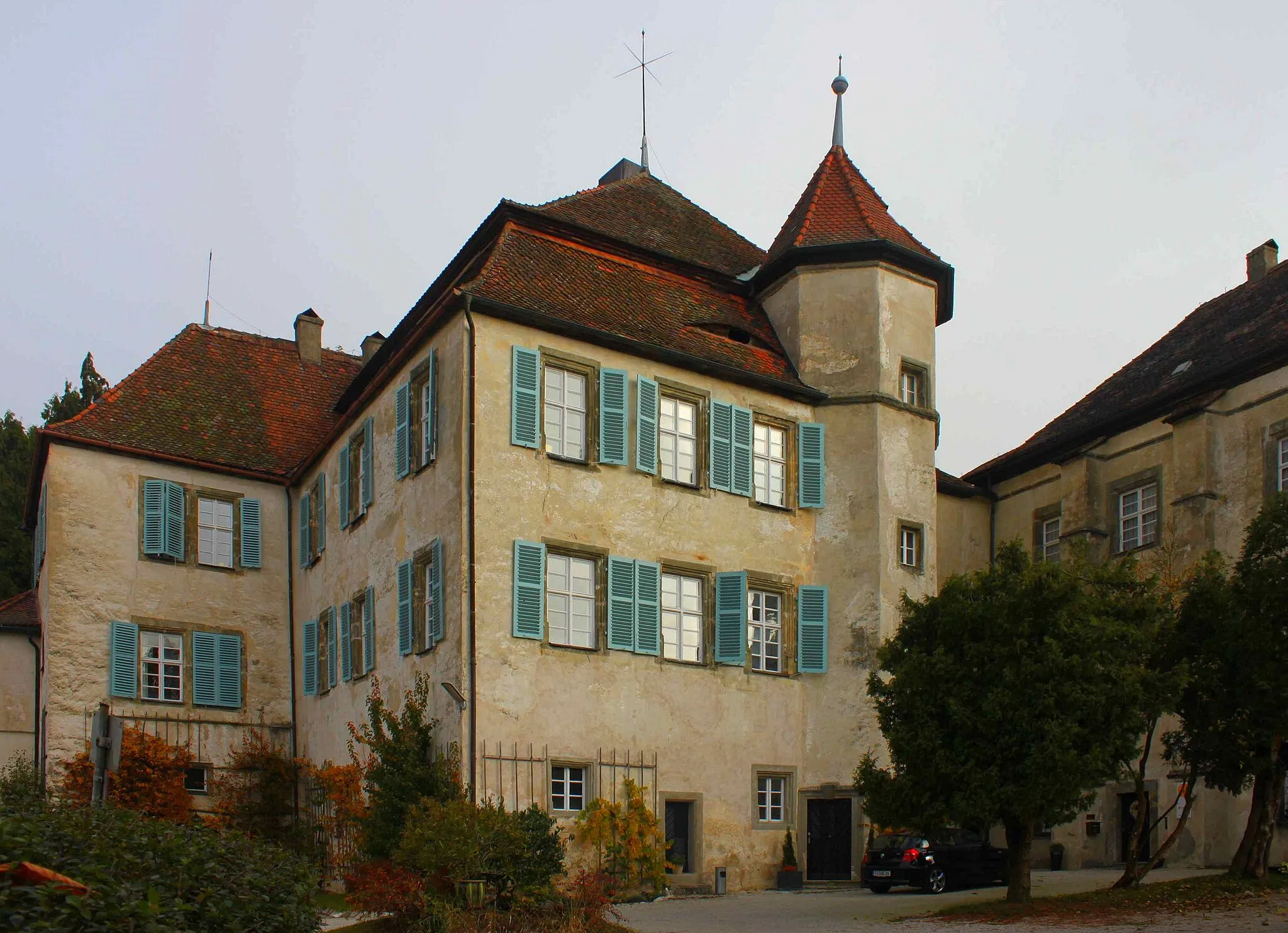
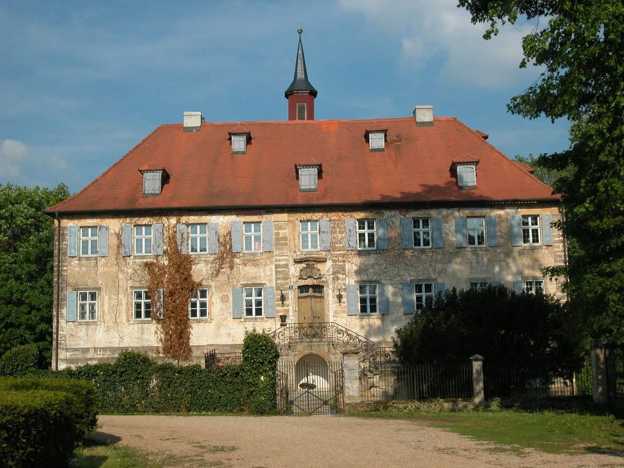
AdelsdorfVillageAdelsdorf is known for its beautiful castle, welcoming visitors with its impressive architecture.
53 km
53 km
Rabensberg379 mPeakRabensberg is a small hill that offers stunning panoramic views of the surrounding countryside.
61 km
61 km
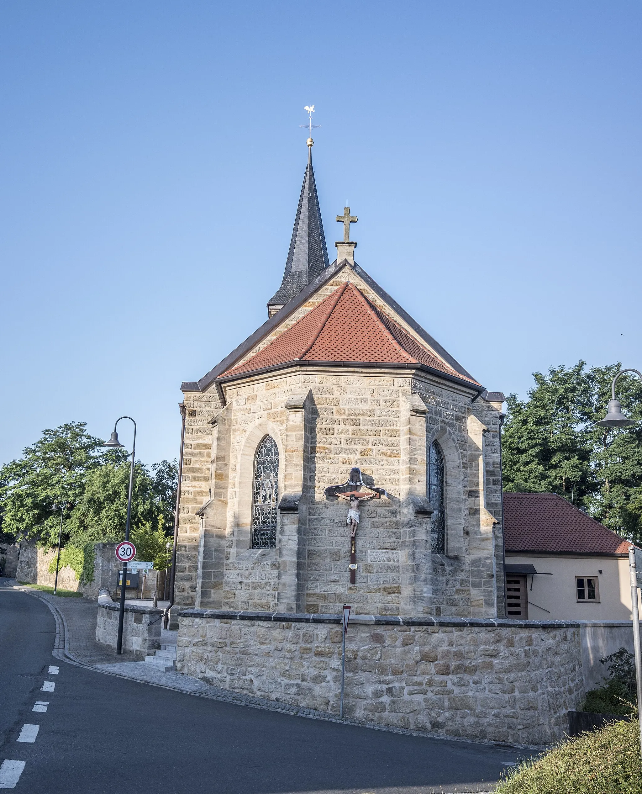
EggolsheimVillageEggolsheim is a charming village with historic buildings and a relaxed atmosphere.
66 km
66 km
Högelstein497 mPeakHögelstein is a rocky outcrop with ancient caves and interesting geological formations.
70 km
70 km
Finish: Mittlerweilersbach Village centerWeilersbach: Serene cycling routes in Oberfranken, Germany.
Cycling routes from Weilersbach:
Kellerberg Trail Ebermannstadt Challenge Picturesque Gravel Ride through Hirschaid and Bamberg Weilersbach - Oberfranken Road Cycling Adventure to Kirchehrenbach Exploring the Rural Side of Weilersbach Weilersbach and the Surrounding Villages Challenging Gravel Adventure near Weilersbach Gravel Adventure in Pretzfeld Hallerndorf Exploration Ebermannstadt Round-Trip
Cycling routes nearby: