Weilersbach and the Surrounding Villages
A gravel cycling route starting from Weilersbach
Experience the charming villages and beautiful landscapes around Weilersbach on this gravel cycling route
Map
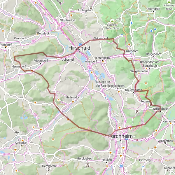
This gravel cycling route takes you through the picturesque villages near Weilersbach, offering breathtaking landscapes and charming scenery. With a total distance of 56 kilometers and an elevation gain of 929 meters, this route is of moderate difficulty, suitable for well-trained amateur cyclists. The epicness rating is set at 4, as it covers some beautiful spots and provides a great overall experience.
gravel
56 km
929 m
Chill
Route profile
Highlights on the route
0 km
0 km
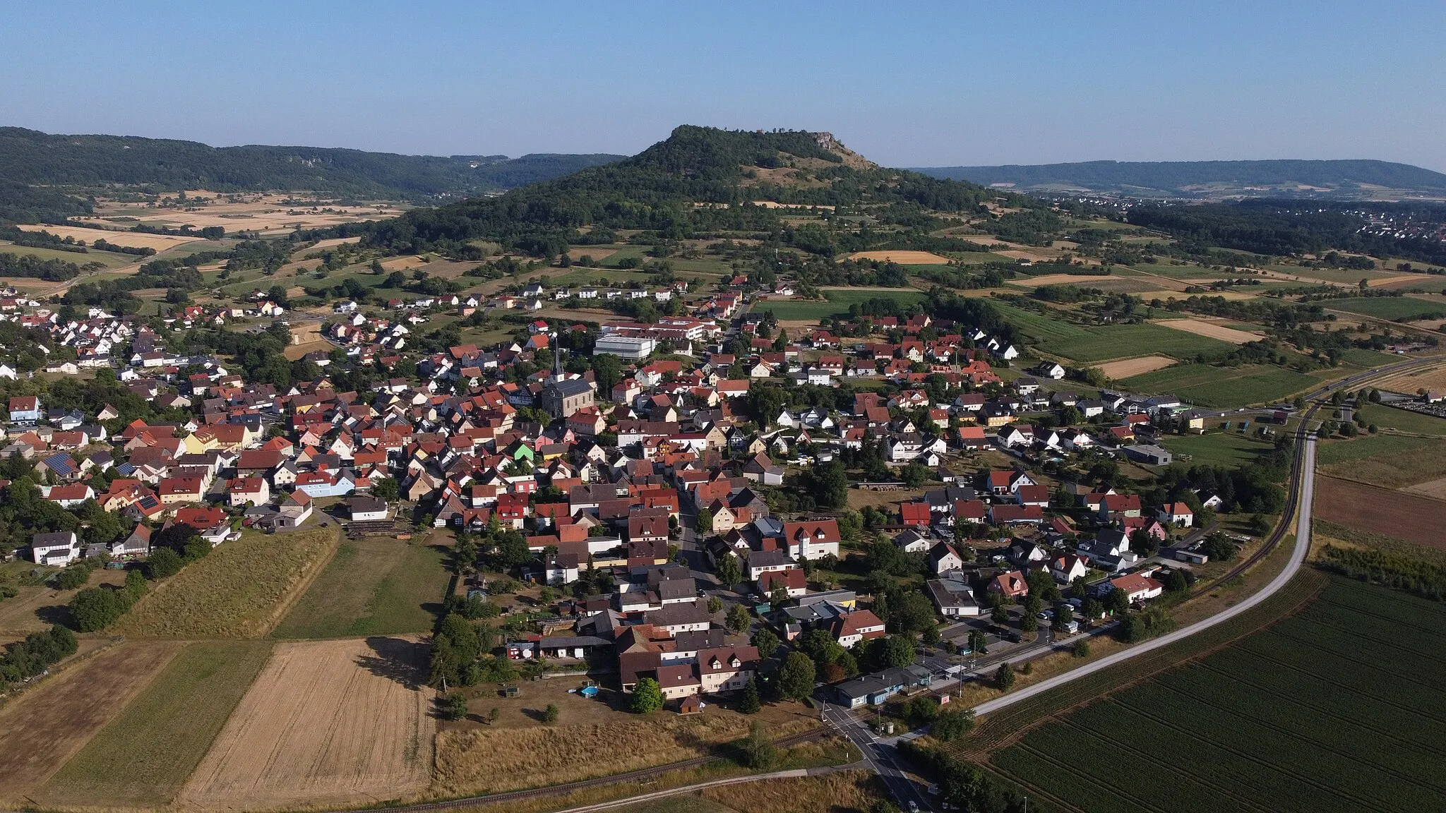
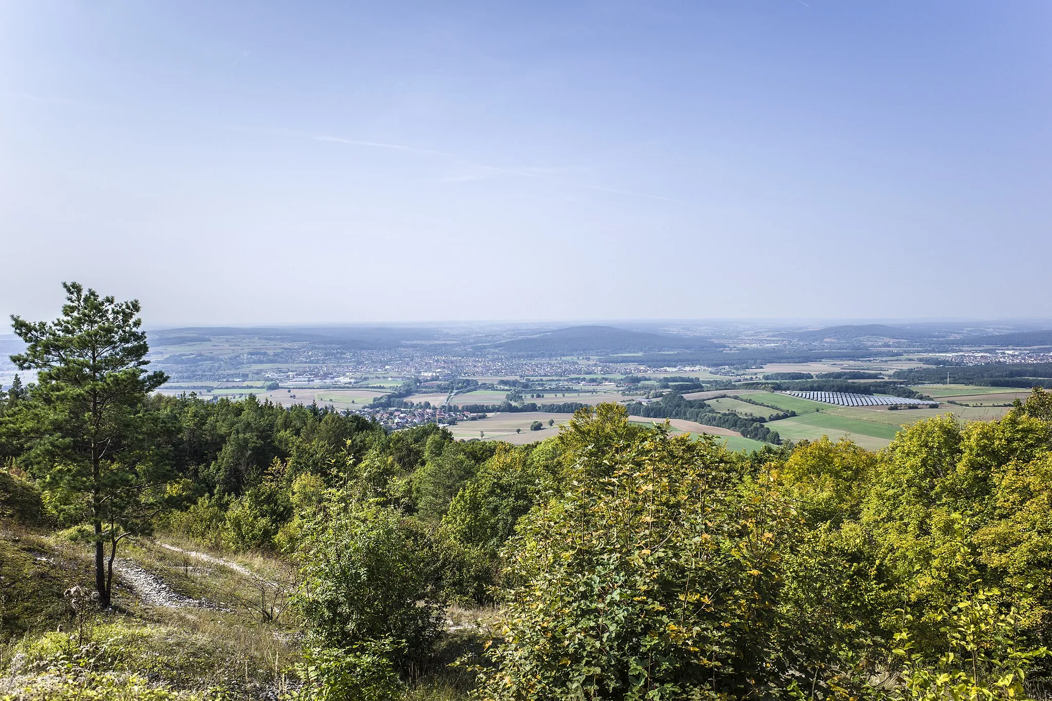
Start: Weilersbach Village centerWeilersbach: Serene cycling routes in Oberfranken, Germany.
Weilersbach, located in Oberfranken, Germany, is a suitable area for road and gravel cyclists. The locality offers peaceful routes through picturesque landscapes, providing cyclists with a pleasant riding experience. There are no famous cycling-related spots or well-known climbs nearby, but Weilersbach still offers plenty of opportunities for cyclists to enjoy their rides and explore the beautiful surroundings. With its peaceful atmosphere and cycling-friendly culture, Weilersbach is a good choice for cyclists looking for a serene cycling experience.4 km
4 km
Kellerberg340 mPeakKellerberg is a small hill located along the route, offering panoramic views of the surrounding area.
6 km
6 km
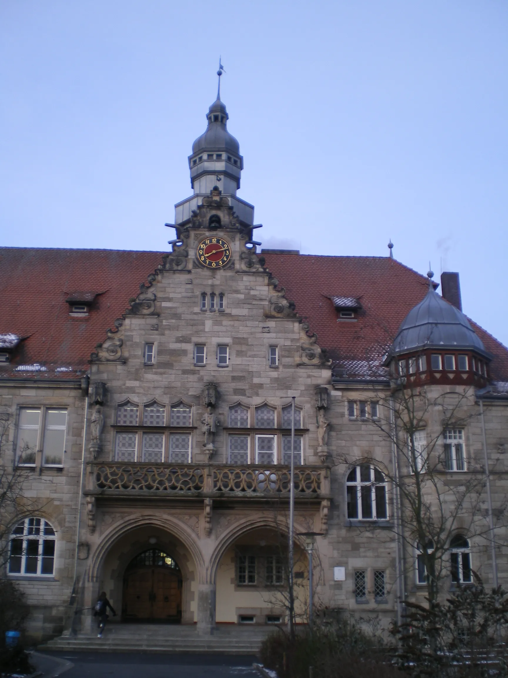
ForchheimTownForchheim is a historic town worth exploring, with its charming architecture and rich cultural heritage.
17 km
17 km
Kreuzberg341 mPeakKreuzberg is a must-visit spot, known for its ancient monastery and scenic overlooks.
22 km
22 km
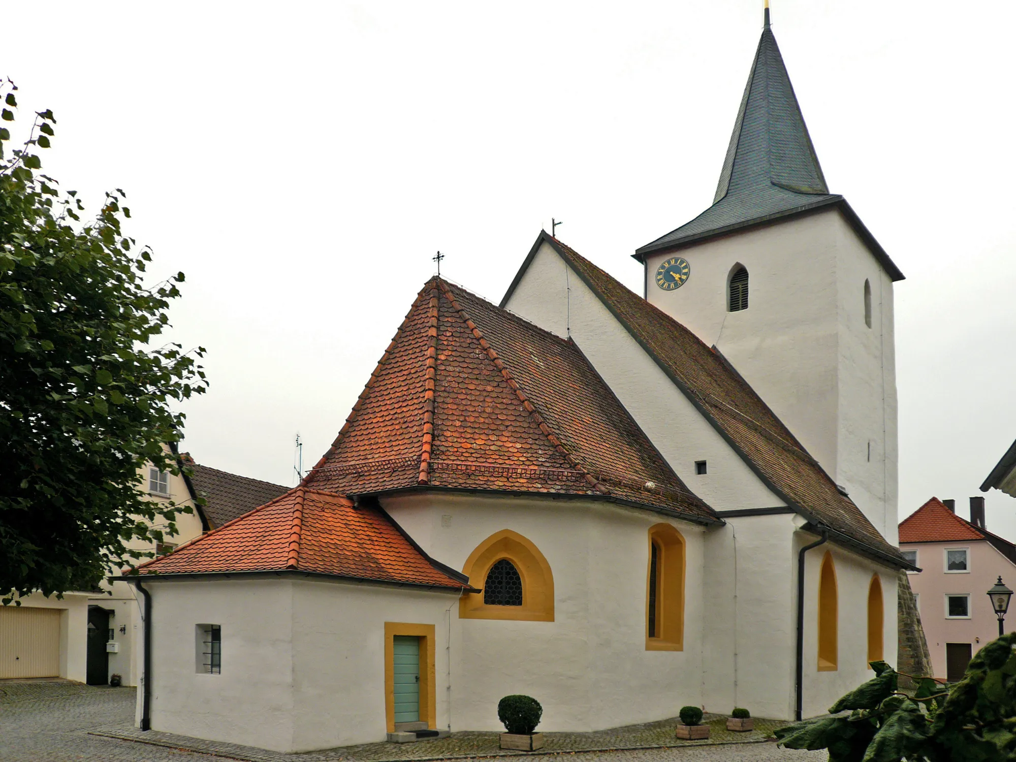
SchlüsselauVillageSchlüsselau is a quaint village famous for its traditional Franconian half-timbered houses.
35 km
35 km
HirschaidTownHirschaid is a picturesque town with beautiful gardens and parks.
40 km
40 km
Friesener WarteViewpointFriesener Warte is a hilltop tower that offers stunning panoramic views of the countryside.
47 km
47 km
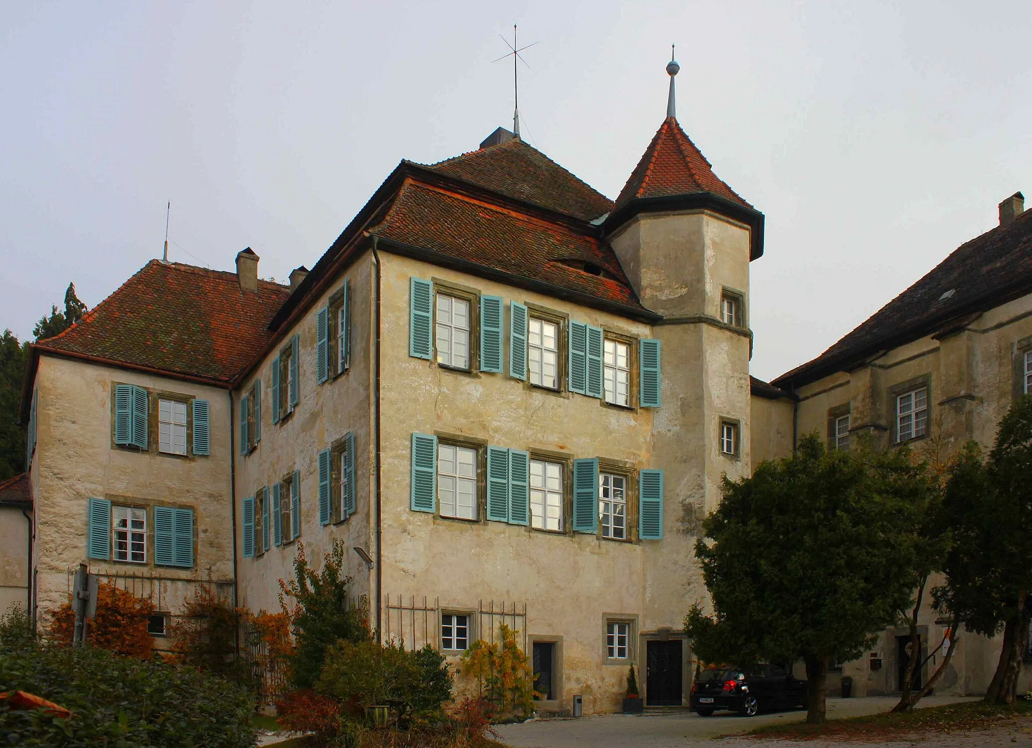
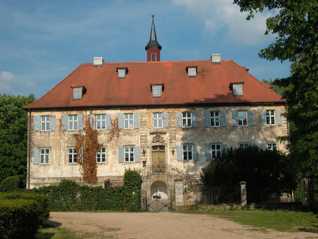
WeigelshofenVillageWeigelshofen is known for its beautiful old castle and well-preserved historic center.
52 km
52 km
Högelstein497 mPeakHögelstein is a rocky outcrop with ancient caves and interesting geological formations.
56 km
56 km
Finish: Weilersbach Village centerWeilersbach: Serene cycling routes in Oberfranken, Germany.
Cycling routes from Weilersbach:
Kellerberg Trail Ebermannstadt Challenge Picturesque Gravel Ride through Hirschaid and Bamberg Weilersbach - Oberfranken Road Cycling Adventure to Kirchehrenbach Exploring the Rural Side of Weilersbach Weilersbach and the Surrounding Villages Challenging Gravel Adventure near Weilersbach Gravel Adventure in Pretzfeld Hallerndorf Exploration Ebermannstadt Round-Trip
Cycling routes nearby: