Gravel Ride to Platte
A gravel cycling route starting from Barnau
Explore the scenic beauty around Bärnau on this adventurous gravel ride.
Map
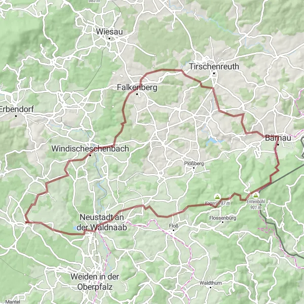
Embark on this gravel cycling adventure with a total distance of 84 km and an elevation gain of 1333 m. Experience picturesque landscapes, charming villages, and challenging terrain along the way.
gravel
84 km
1333 m
Tough
Route profile
Highlights on the route
0 km
0 km
Start: Bärnau City centerBärnau: Exploring the picturesque landscapes of Oberpfalz by bike.
Bärnau is a locality located in Oberpfalz, Germany. From a cyclist's perspective, Bärnau offers a mix of rural and village cycling experiences. The locality is surrounded by picturesque landscapes, making it a pleasant destination for road and gravel cyclists. Bärnau is also close to well-known cycling routes, such as the Goldsteig, an extensive long-distance hiking trail that is accessible for cyclists. While Bärnau may not have any famous cycling spots or climbs directly in the locality, it serves as a starting point for exploring the natural beauty of Oberpfalz. Overall, Bärnau receives a rank of 3, making it a decent spot for cyclists.8 km
8 km
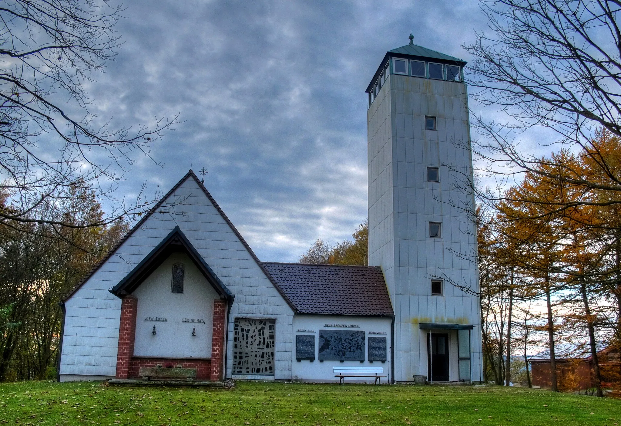
Entenbühl901 mPeakLocated at the 8th kilometer mark of the route, Entenbühl offers stunning views of the surrounding countryside.
23 km
23 km
Sandberg487 mPeak30 km
30 km
Altenstadt an der WaldnaabVillageAltenstadt an der Waldnaab, located at the 30th kilometer mark, is a charming village with rich historical heritage.
44 km
44 km
Platte573 mPeakReach the 44th kilometer mark to marvel at Platte, a magnificent hill offering panoramic vistas of the Oberpfalz region.
52 km
52 km
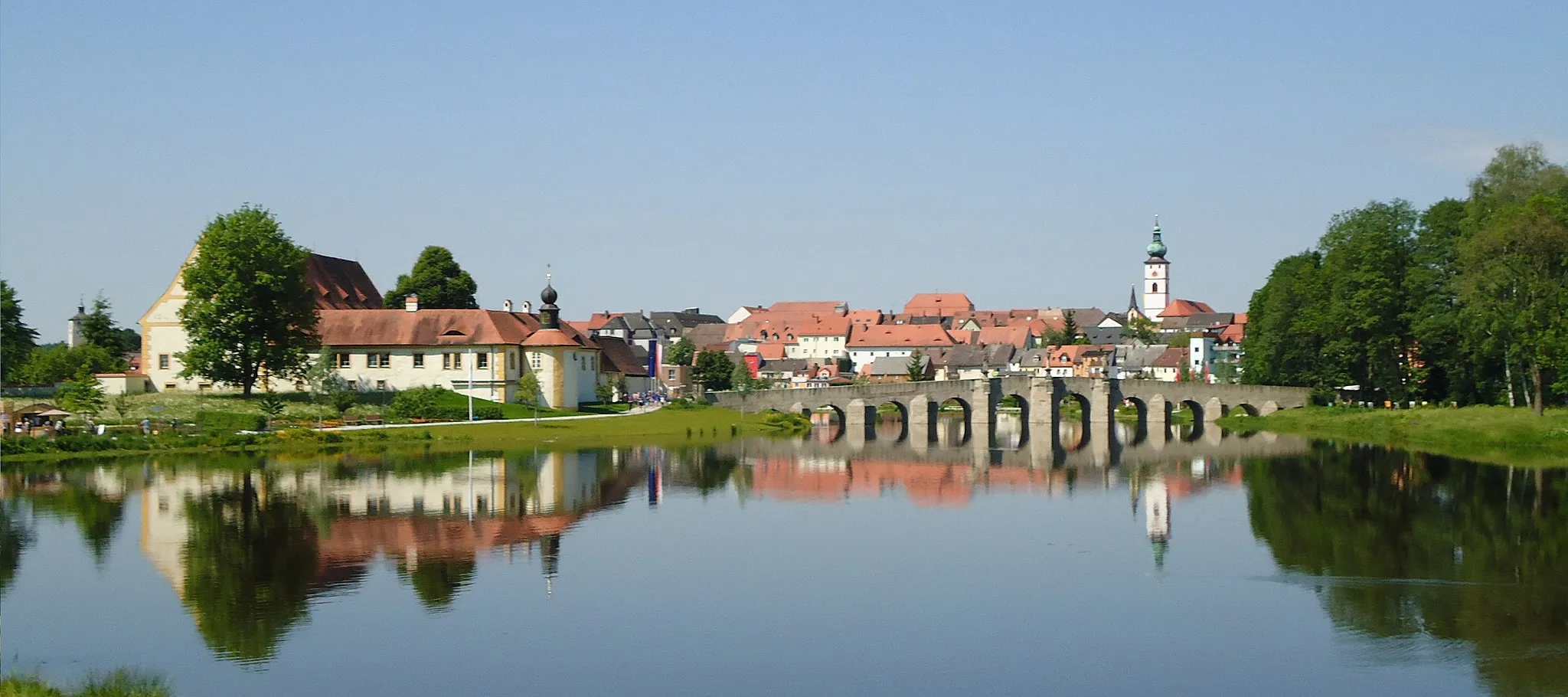
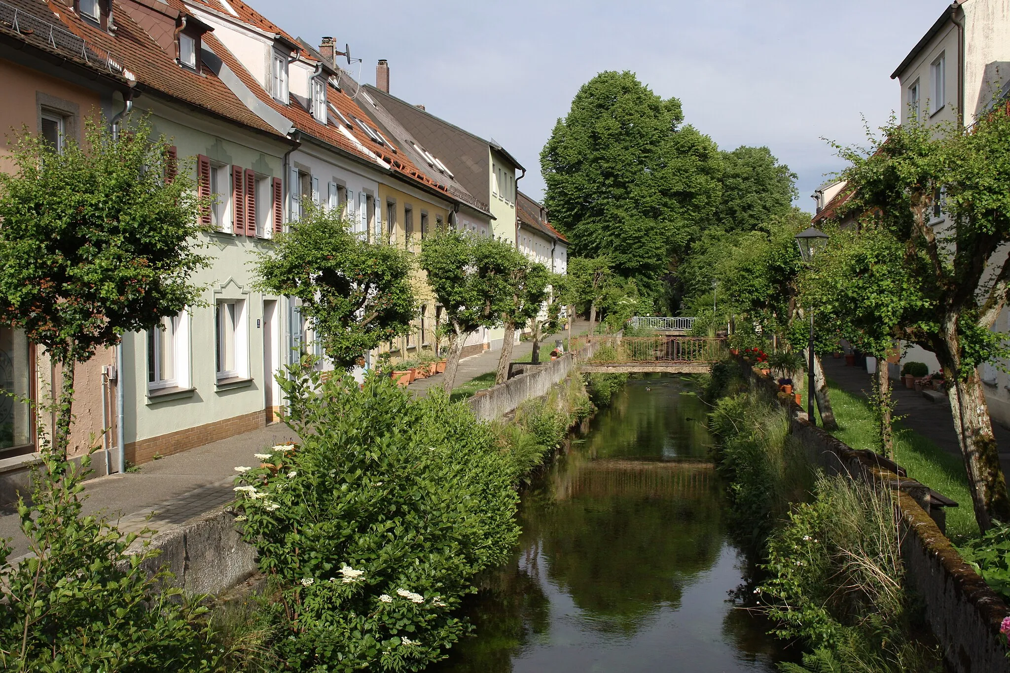
WindischeschenbachTownWindischeschenbach, found at the 52nd kilometer mark, is known for its beautiful architecture and traditional Bavarian charm.
62 km
62 km
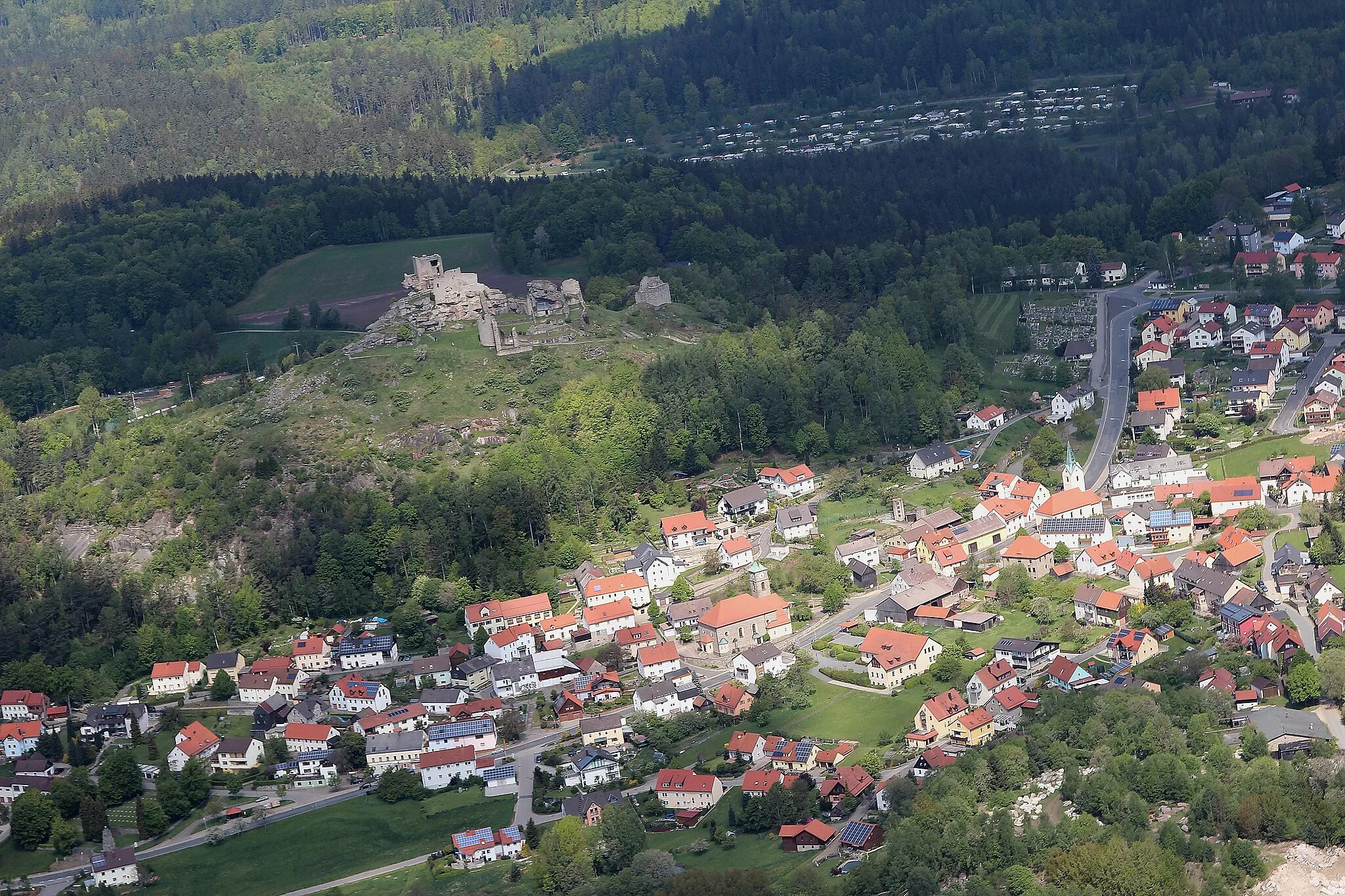
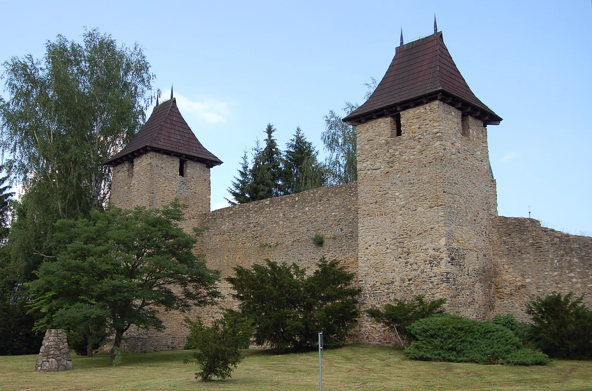
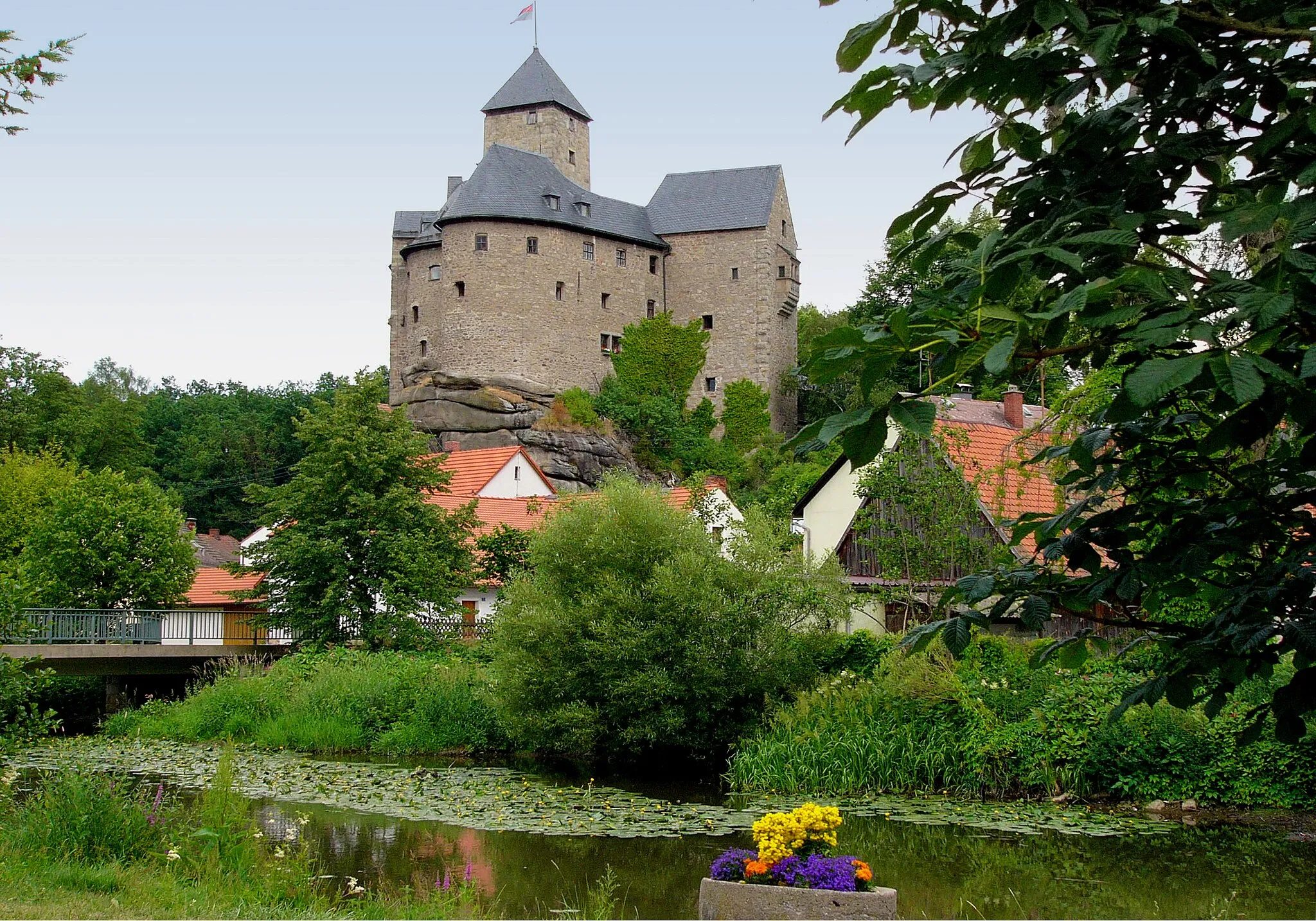
FalkenbergTownLocated at the 62nd kilometer mark, Falkenberg impresses with its castle ruins nestled amidst picturesque landscapes.
70 km
70 km
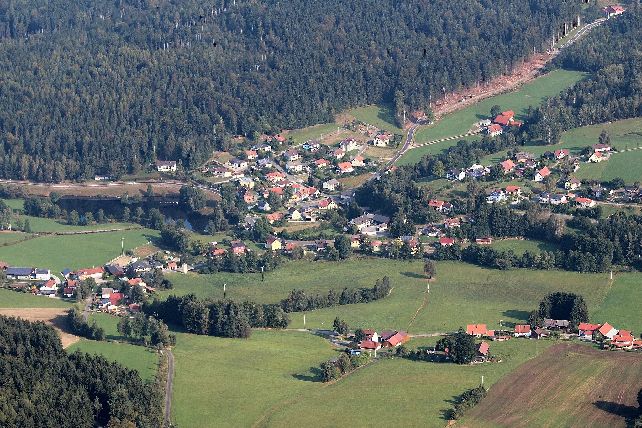
WolfensteinViewpointWolfenstein, at the 70th kilometer mark, is a small village with a serene atmosphere and scenic hiking trails.
80 km
80 km
Hofbühl578 mPeakHofbühl, found at the 80th kilometer mark, is a traditional Bavarian farmstead offering a glimpse into the rural life of the region.
84 km
84 km
BärnauTownCommence your journey in Bärnau and discover its historical significance as an ancient trading post.
84 km
84 km
Finish: Bärnau City centerBärnau: Exploring the picturesque landscapes of Oberpfalz by bike.
Cycling routes nearby: