Steinberg Loop
A road cycling route starting from Barnau
A scenic road route with a challenging ascent and interesting highlights along the way.
Map
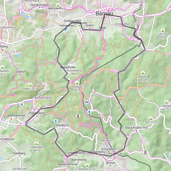
The Steinberg Loop is a 47 km road cycling route starting near Bärnau in Oberpfalz, Germany. It features a total ascent of 929 meters, making it suitable for well-trained amateur cyclists. The route takes riders through picturesque countryside and forests, providing great opportunities to experience the natural beauty of the region. Highlights along the route include Steinberg, a small village known for its historic buildings, Schmuckerhof, a charming farmhouse with a rich history, and Flossenbürg, a former concentration camp memorial site.
road
47 km
929 m
Tough
Route profile
Highlights on the route
0 km
0 km
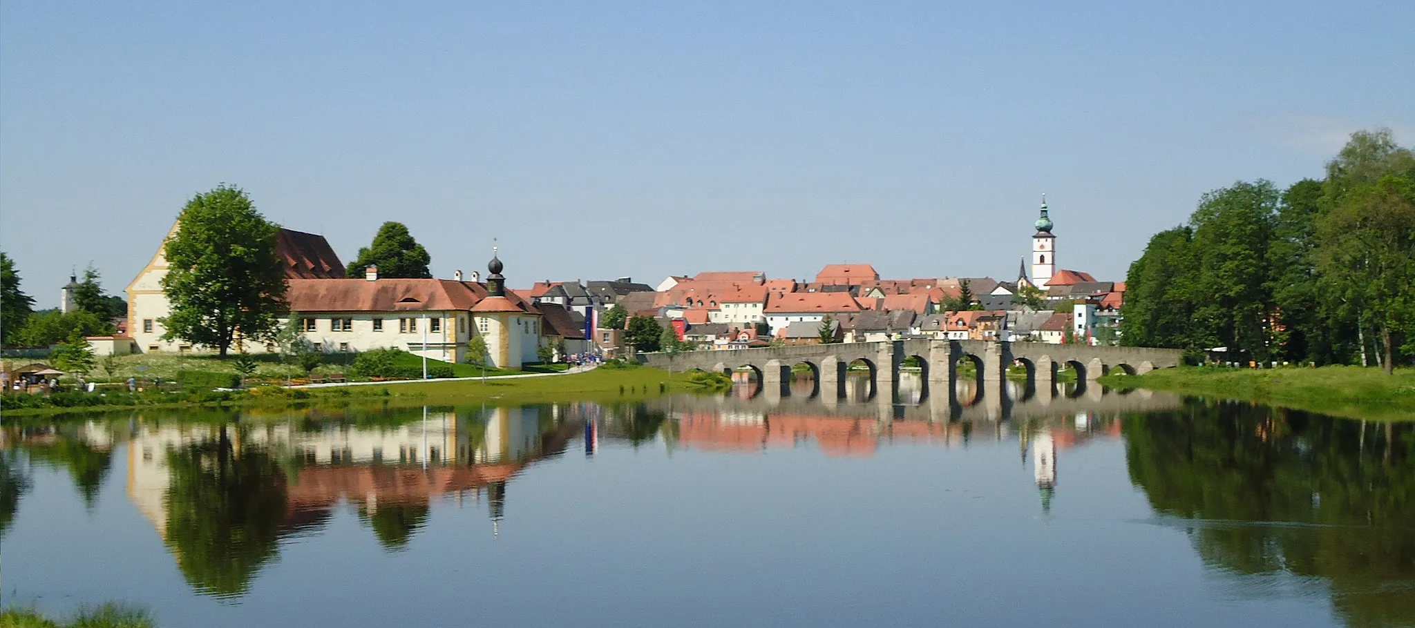
Start: Bärnau City centerBärnau: Exploring the picturesque landscapes of Oberpfalz by bike.
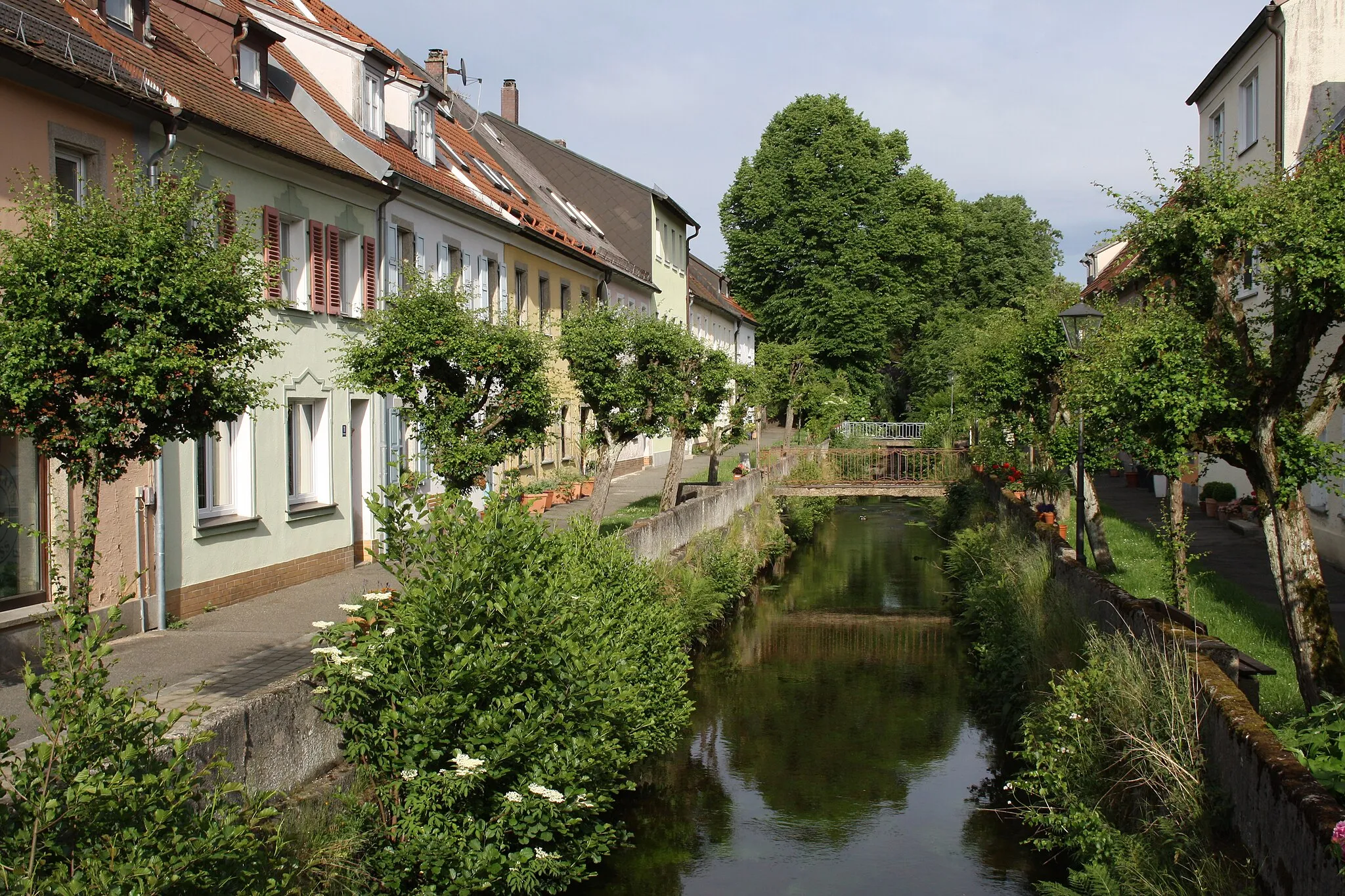
Bärnau is a locality located in Oberpfalz, Germany. From a cyclist's perspective, Bärnau offers a mix of rural and village cycling experiences. The locality is surrounded by picturesque landscapes, making it a pleasant destination for road and gravel cyclists. Bärnau is also close to well-known cycling routes, such as the Goldsteig, an extensive long-distance hiking trail that is accessible for cyclists. While Bärnau may not have any famous cycling spots or climbs directly in the locality, it serves as a starting point for exploring the natural beauty of Oberpfalz. Overall, Bärnau receives a rank of 3, making it a decent spot for cyclists.3 km
3 km
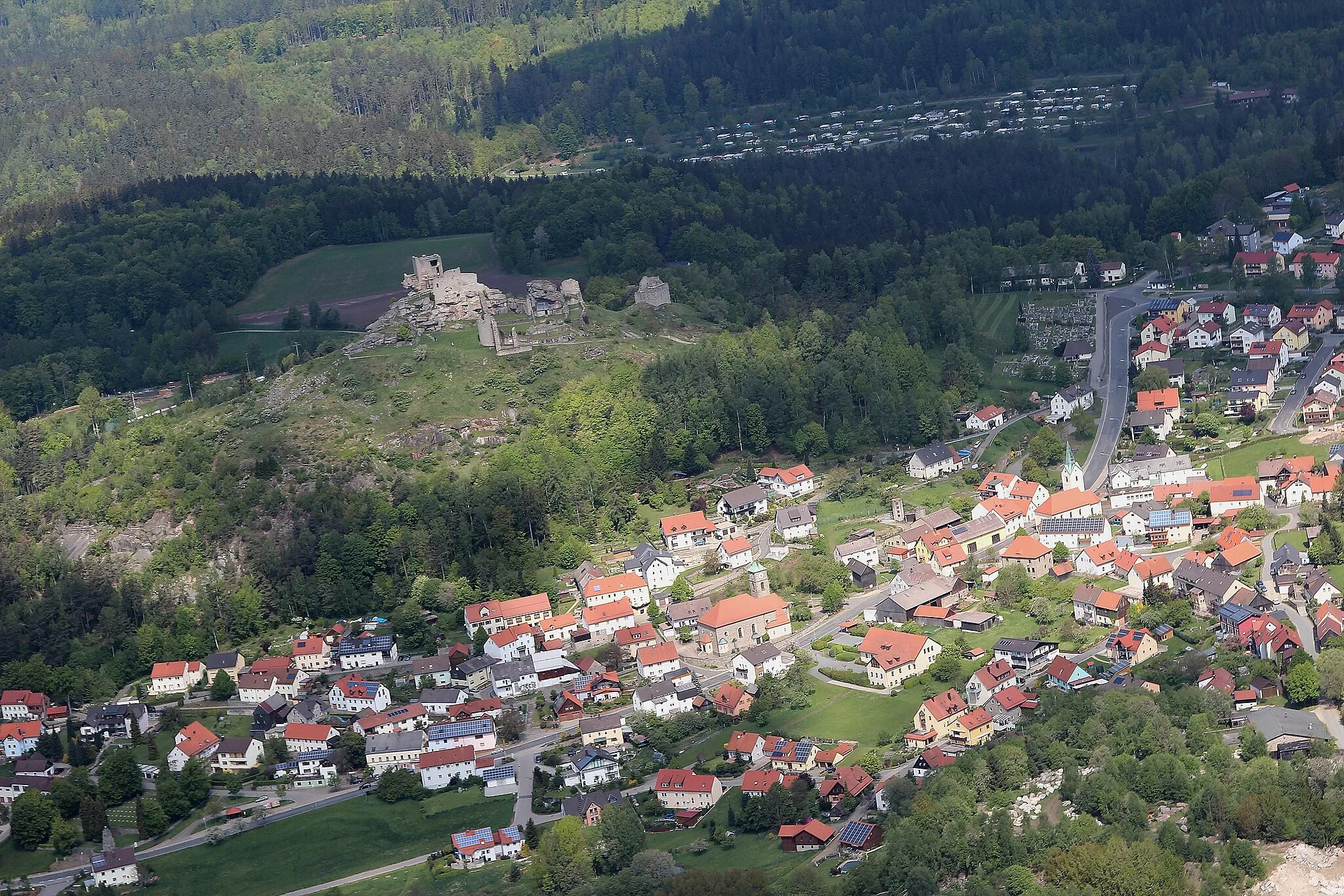
Steinberg802 mPeakLocated in Steinberg, this small village is dotted with traditional Bavarian houses and offers beautiful views of the surrounding landscape.
3 km
3 km
SchmuckerhofHamletSchmuckerhof is a well-preserved farmhouse that dates back to the 18th century. It provides a glimpse into rural life in the Oberpfalz region.
20 km
20 km
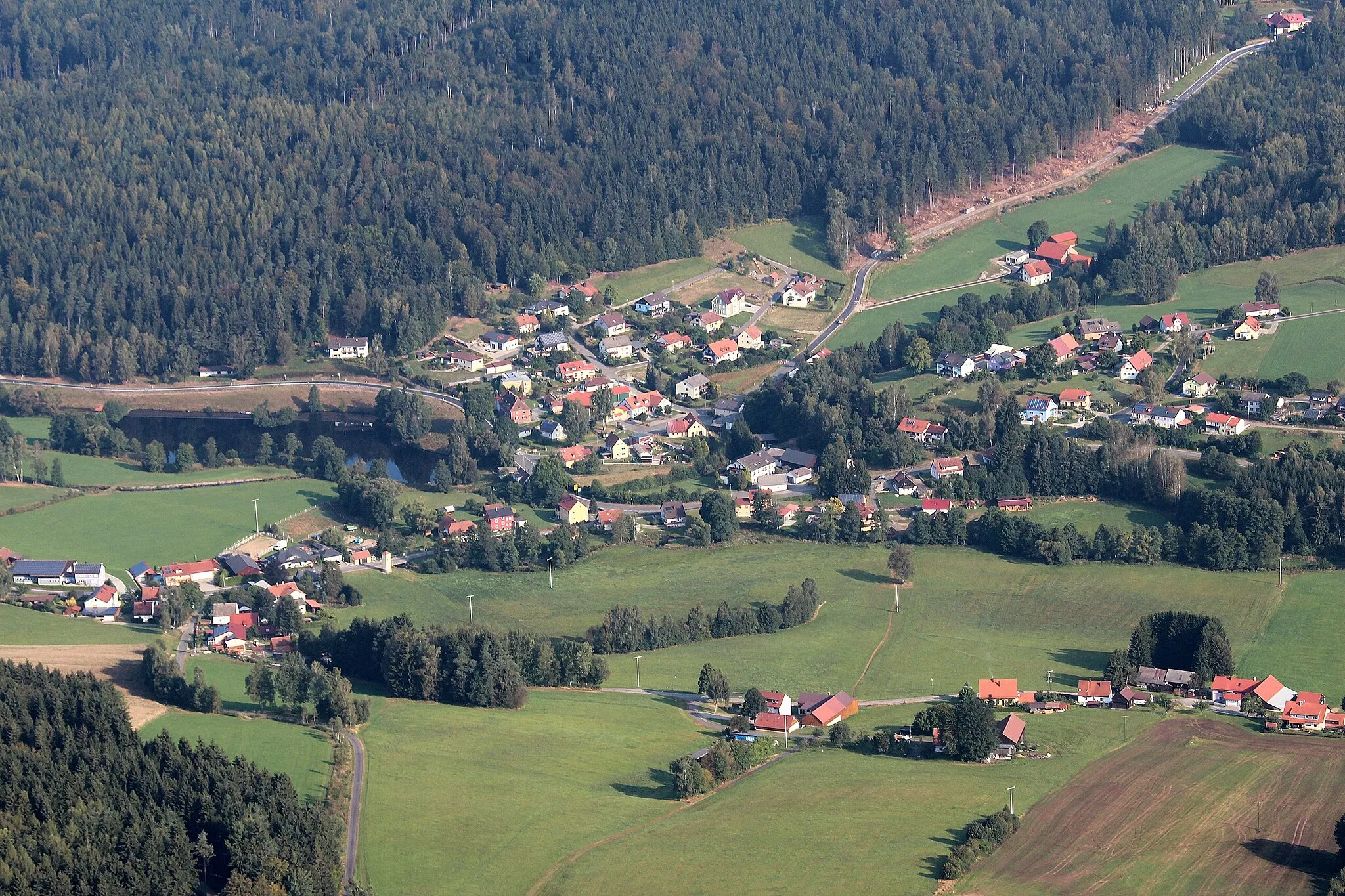
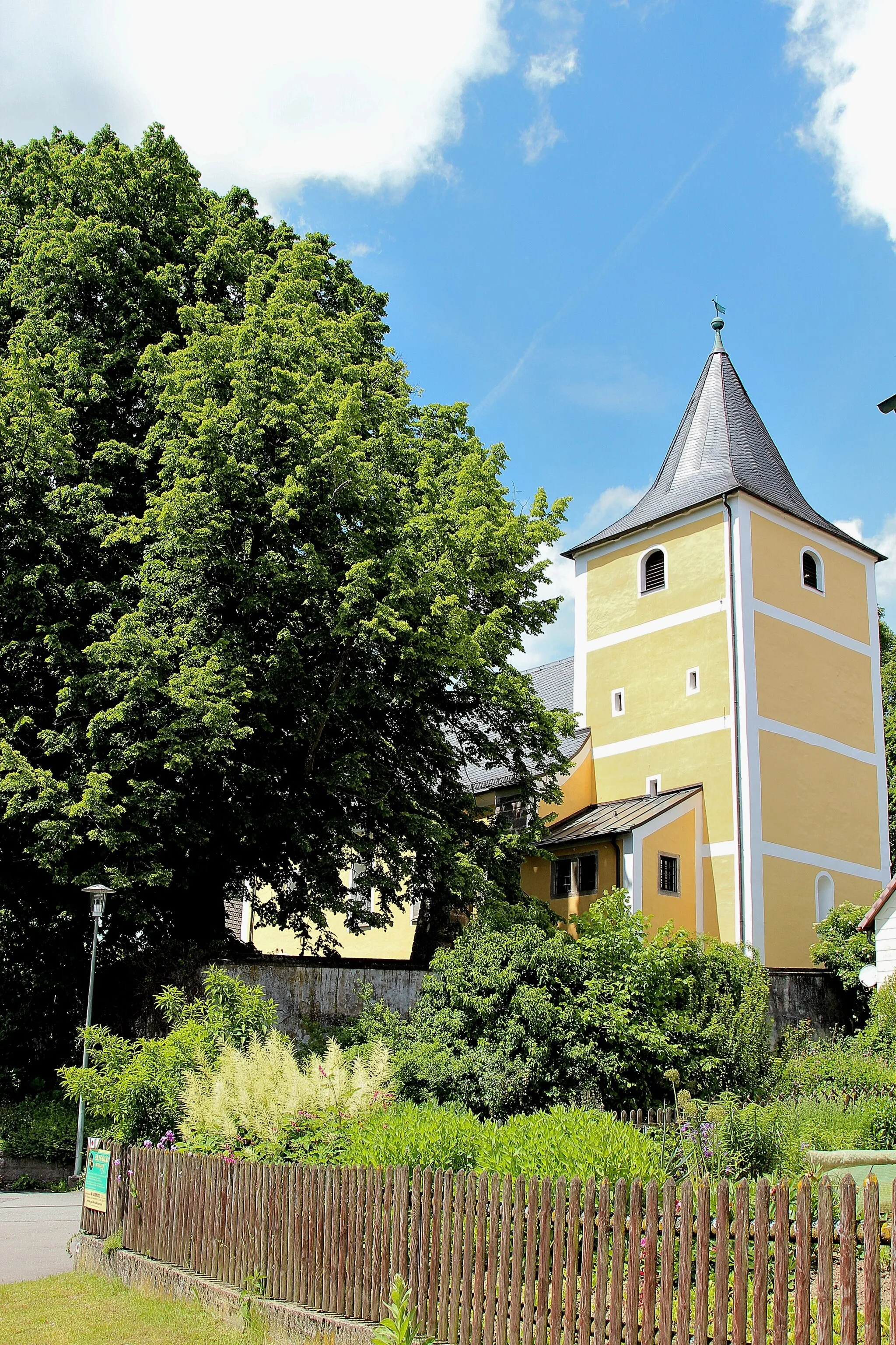
GeorgenbergVillageGeorgenberg is a popular pilgrimage site with a stunning Baroque church. The climb up the hill rewards cyclists with panoramic views of the area.
22 km
22 km
Mittelberg707 mPeakMittelberg is a picturesque hill known for its tranquil atmosphere. Cyclists can enjoy peaceful surroundings as they pass through the area.
30 km
30 km
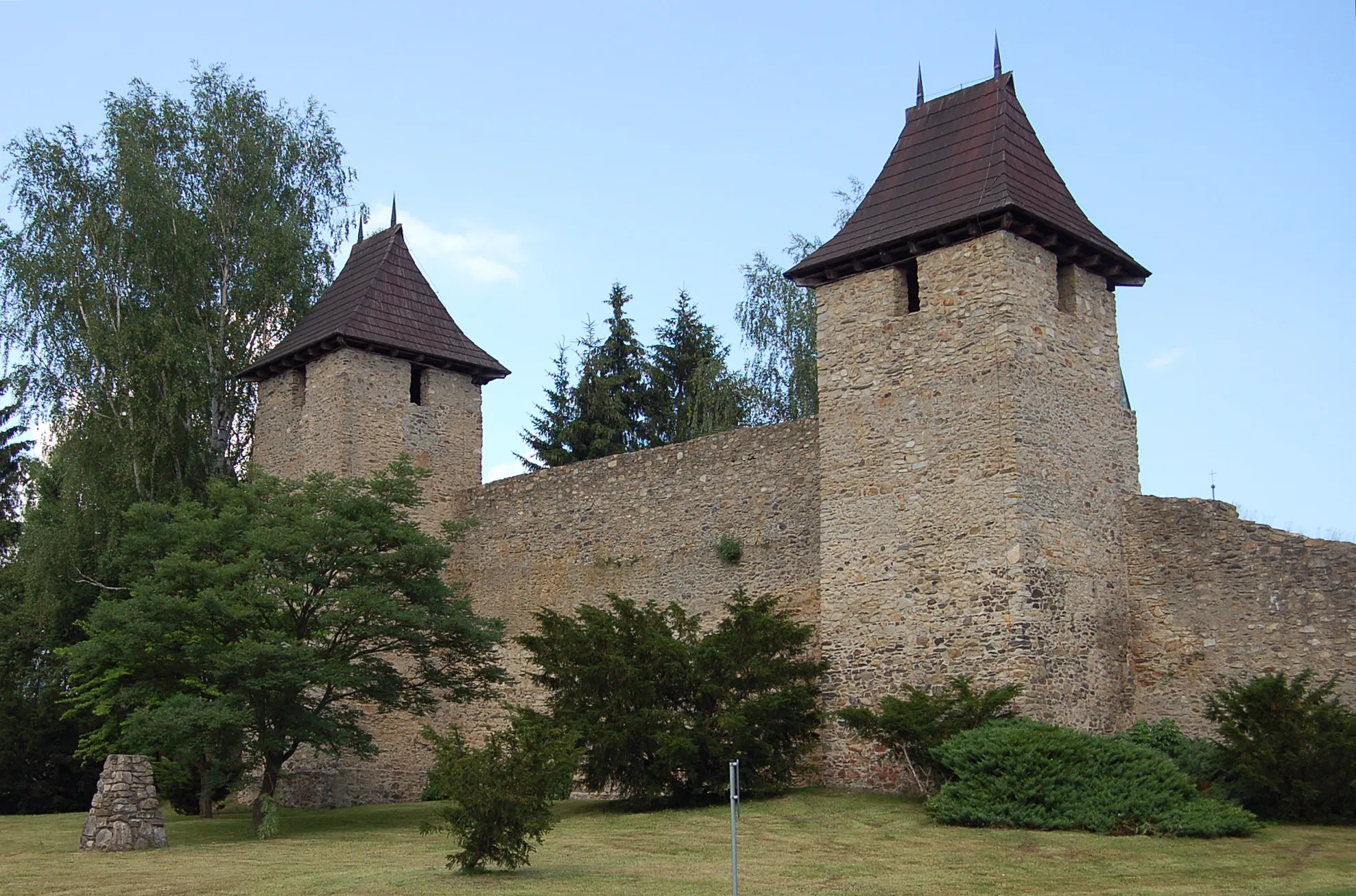
FlossenbürgVillageFlossenbürg is a historic site that was used as a concentration camp during World War II. Today, it serves as a memorial and a reminder of the atrocities committed during the war.
35 km
35 km
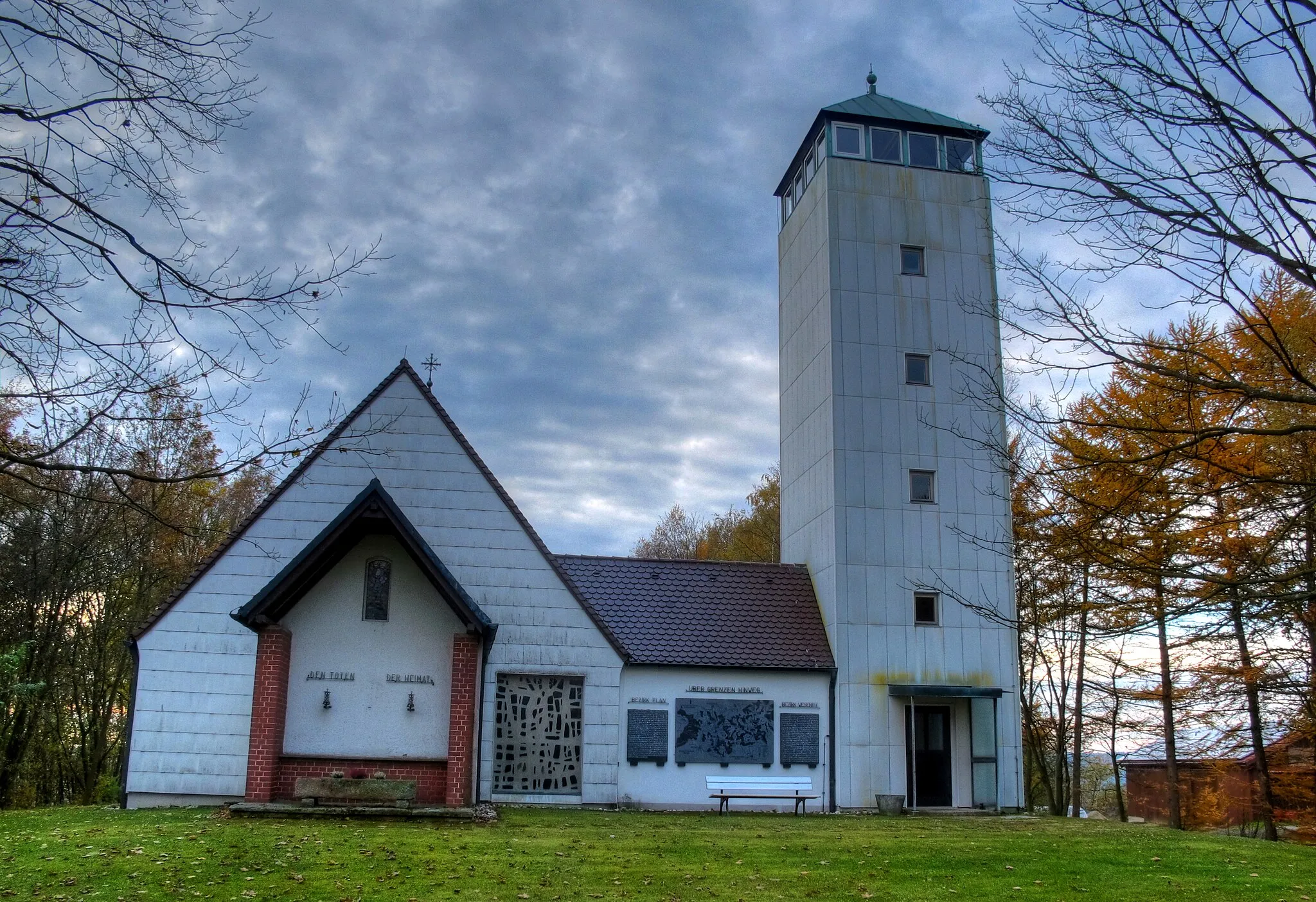
Entenbühl901 mPeakEntenbühl is a scenic spot overlooking a tranquil lake. Cyclists can take a break here and enjoy the beautiful surroundings.
47 km
47 km
BärnauTownBärnau is the starting and ending point of the route. It offers a charming Bavarian atmosphere, with traditional architecture and friendly locals.
47 km
47 km
Finish: Bärnau City centerBärnau: Exploring the picturesque landscapes of Oberpfalz by bike.
Cycling routes nearby: