Road Cycling Adventure
A road cycling route starting from Barnau
Embark on an epic road cycling adventure through the diverse landscapes near Bärnau.
Map
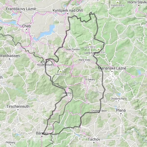
Covering a distance of 118 km and an elevation gain of 1923 m, this road cycling route guarantees both stunning scenery and exhilarating challenges. From sweeping valleys to dense forests, and picturesque villages to rolling hills, this route offers a comprehensive experience of the Oberpfalz region.
road
118 km
1923 m
Savage
Route profile
Highlights on the route
0 km
0 km
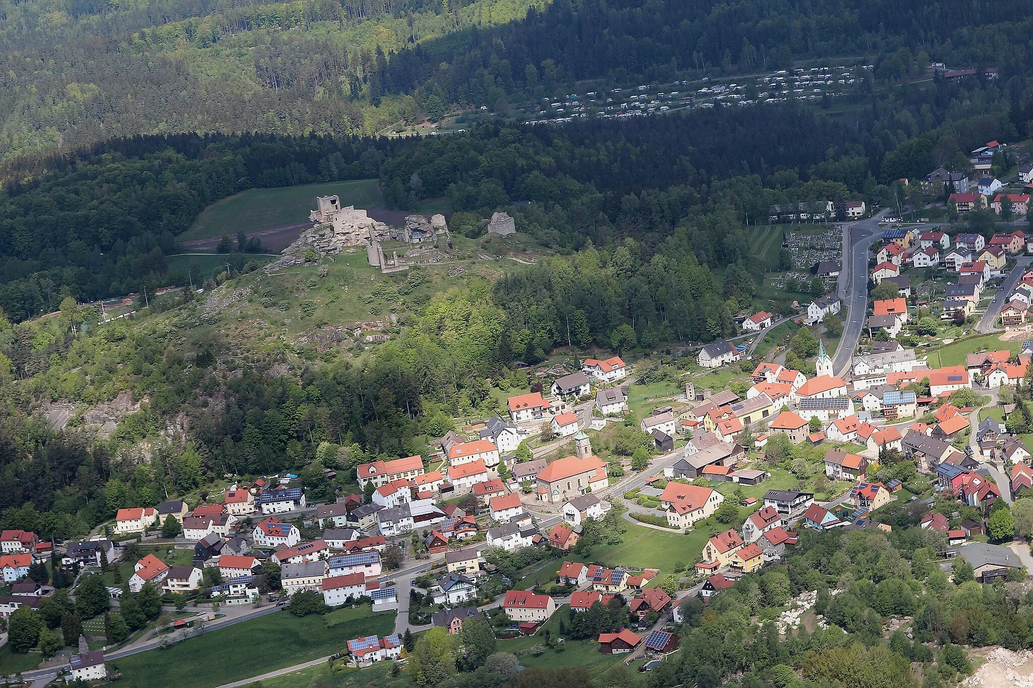
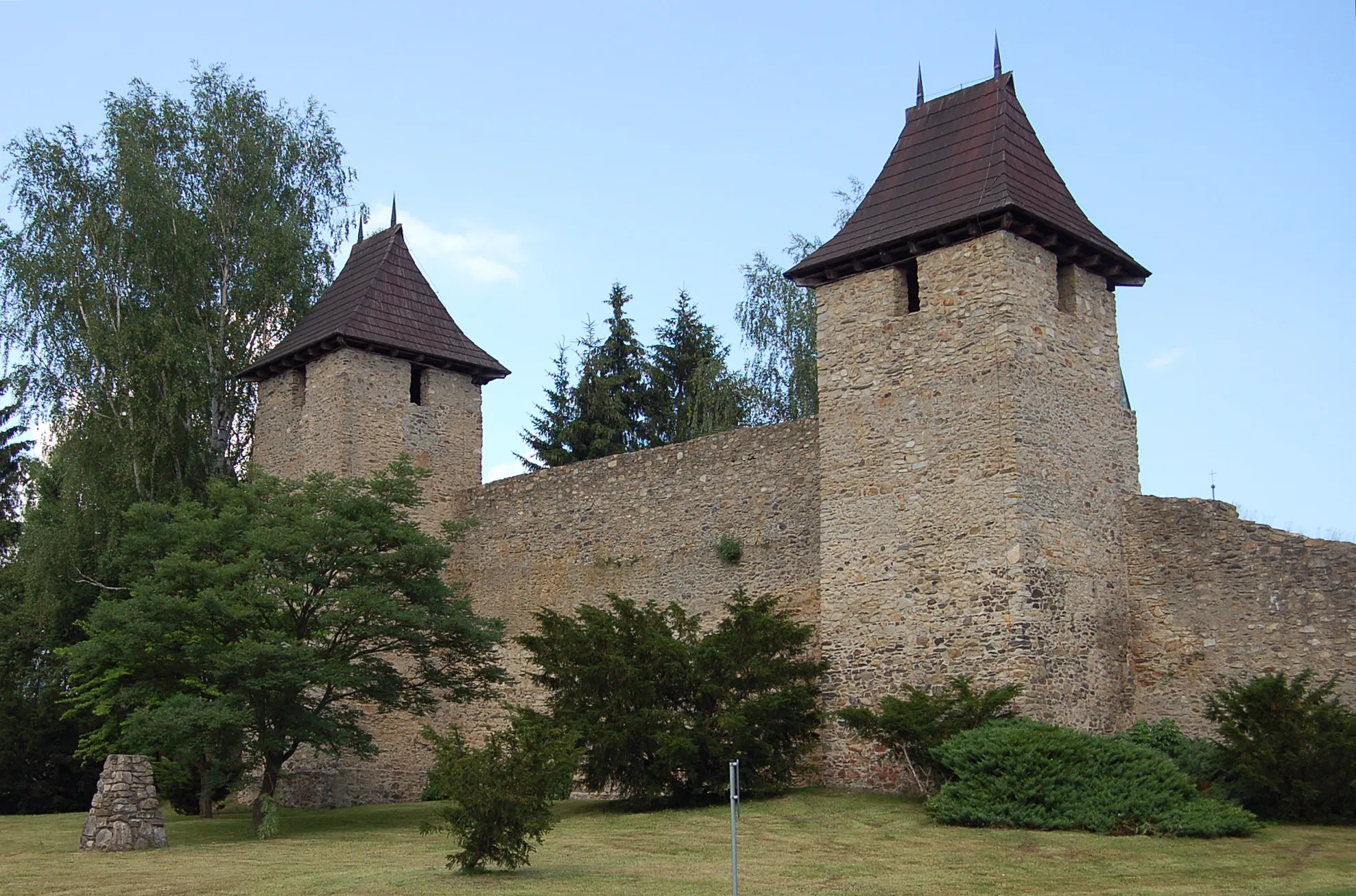
Start: Bärnau City centerBärnau: Exploring the picturesque landscapes of Oberpfalz by bike.
Bärnau is a locality located in Oberpfalz, Germany. From a cyclist's perspective, Bärnau offers a mix of rural and village cycling experiences. The locality is surrounded by picturesque landscapes, making it a pleasant destination for road and gravel cyclists. Bärnau is also close to well-known cycling routes, such as the Goldsteig, an extensive long-distance hiking trail that is accessible for cyclists. While Bärnau may not have any famous cycling spots or climbs directly in the locality, it serves as a starting point for exploring the natural beauty of Oberpfalz. Overall, Bärnau receives a rank of 3, making it a decent spot for cyclists.9 km
9 km
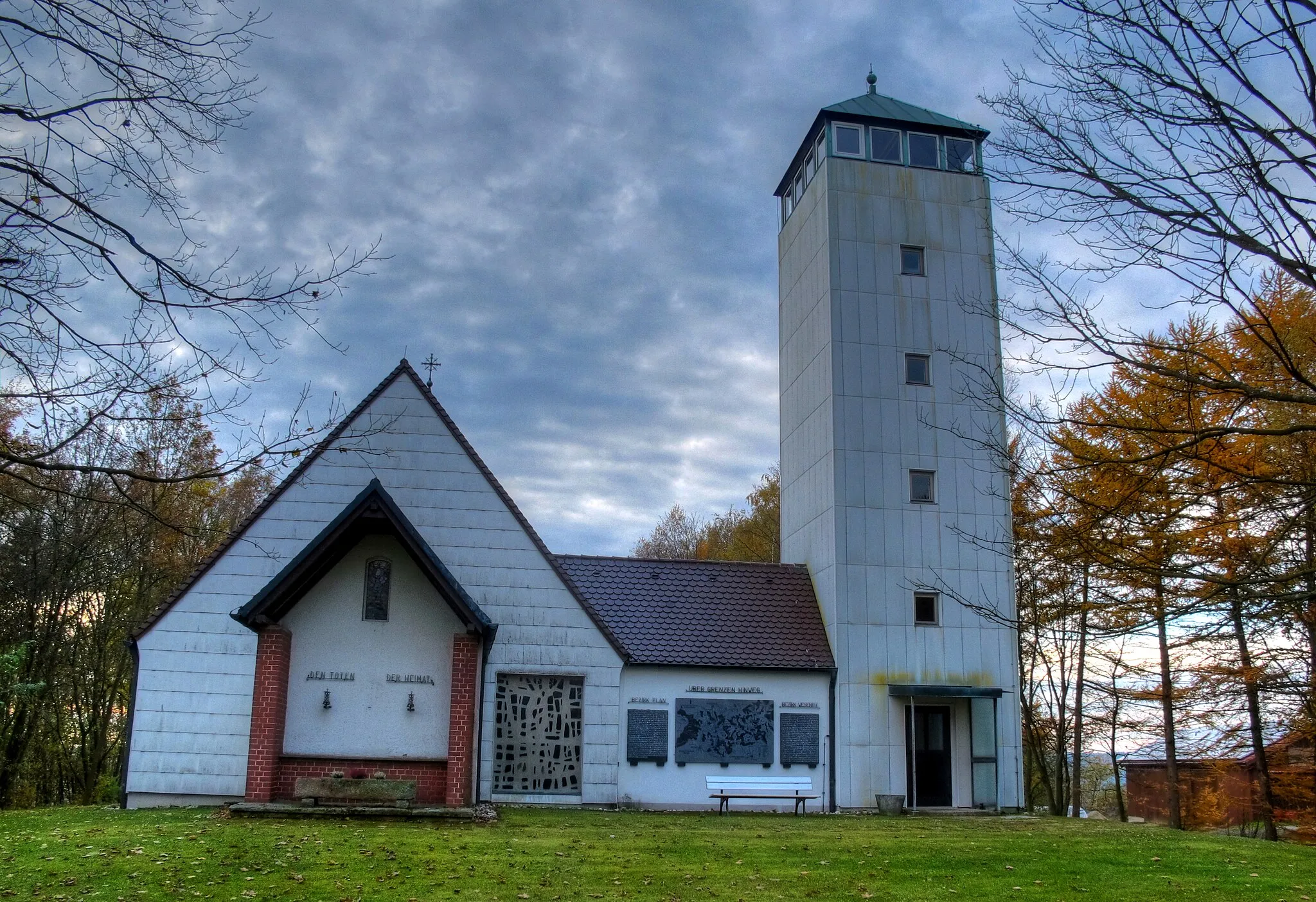
Galgenberg680 mPeakAt the 9th kilometer mark, Galgenberg offers a captivating view of the surrounding landscapes and a sense of achievement for cyclists.
14 km
14 km
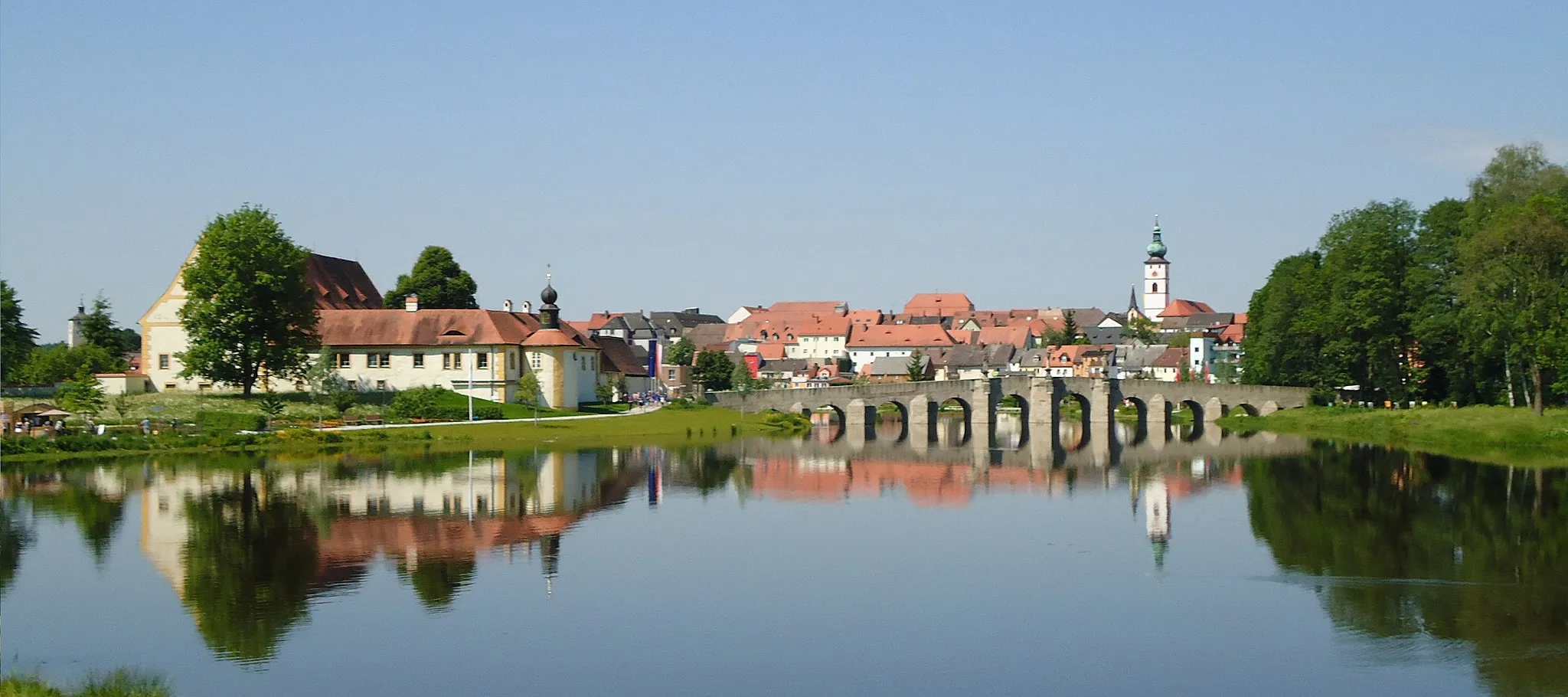
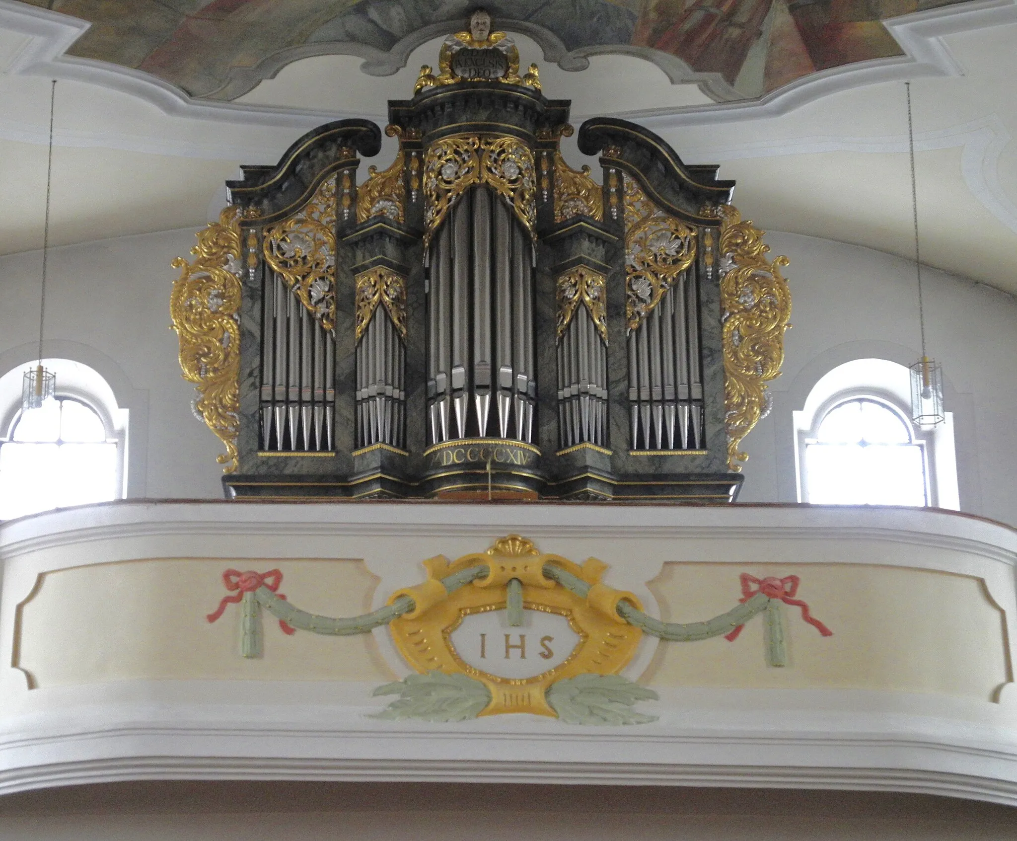
MähringVillageMarvel at the historical town of Mähring, located at the 14th kilometer mark, with its well-preserved architecture and rich cultural heritage.
26 km
26 km
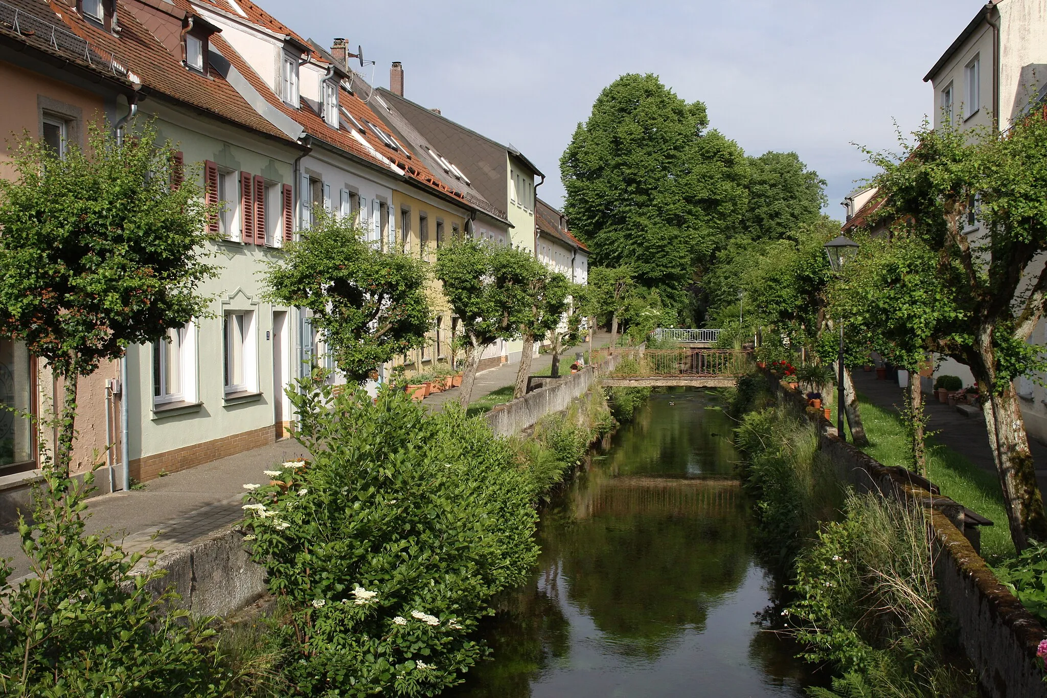
Bad NeualbenreuthVillageEmbark on a relaxing stop at Bad Neualbenreuth, found at the 26th kilometer mark, known for its thermal baths and wellness facilities.
33 km
33 km
Pastvina644 mPeakPastvina, situated at the 33rd kilometer mark, is a scenic village characterized by its picturesque countryside and natural beauty.
45 km
45 km
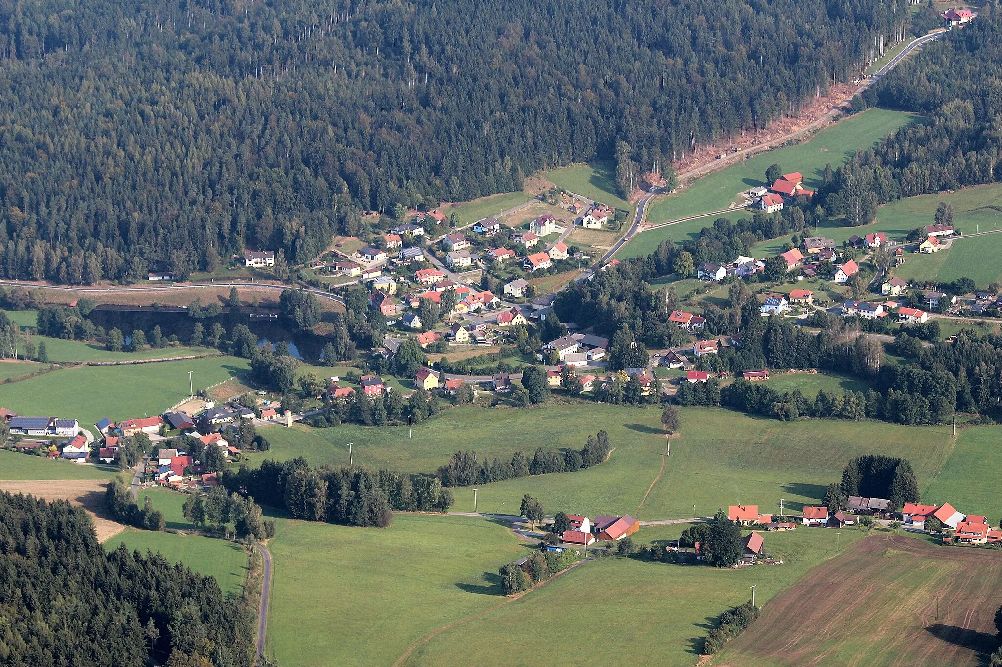
MokřinaHamletExperience the enchanting wetland landscapes of Mokřina, located at the 45th kilometer mark, which provide a habitat to diverse flora and fauna.
61 km
61 km
Osada BystrinaHamletOsada Bystrina, found at the 61st kilometer mark, offers a glimpse into the traditional Czech architecture and way of life.
75 km
75 km
Lysina978 mPeakLysina, situated at the 75th kilometer mark, rewards cyclists with breathtaking panoramic views of the undulating hills and valleys.
78 km
78 km
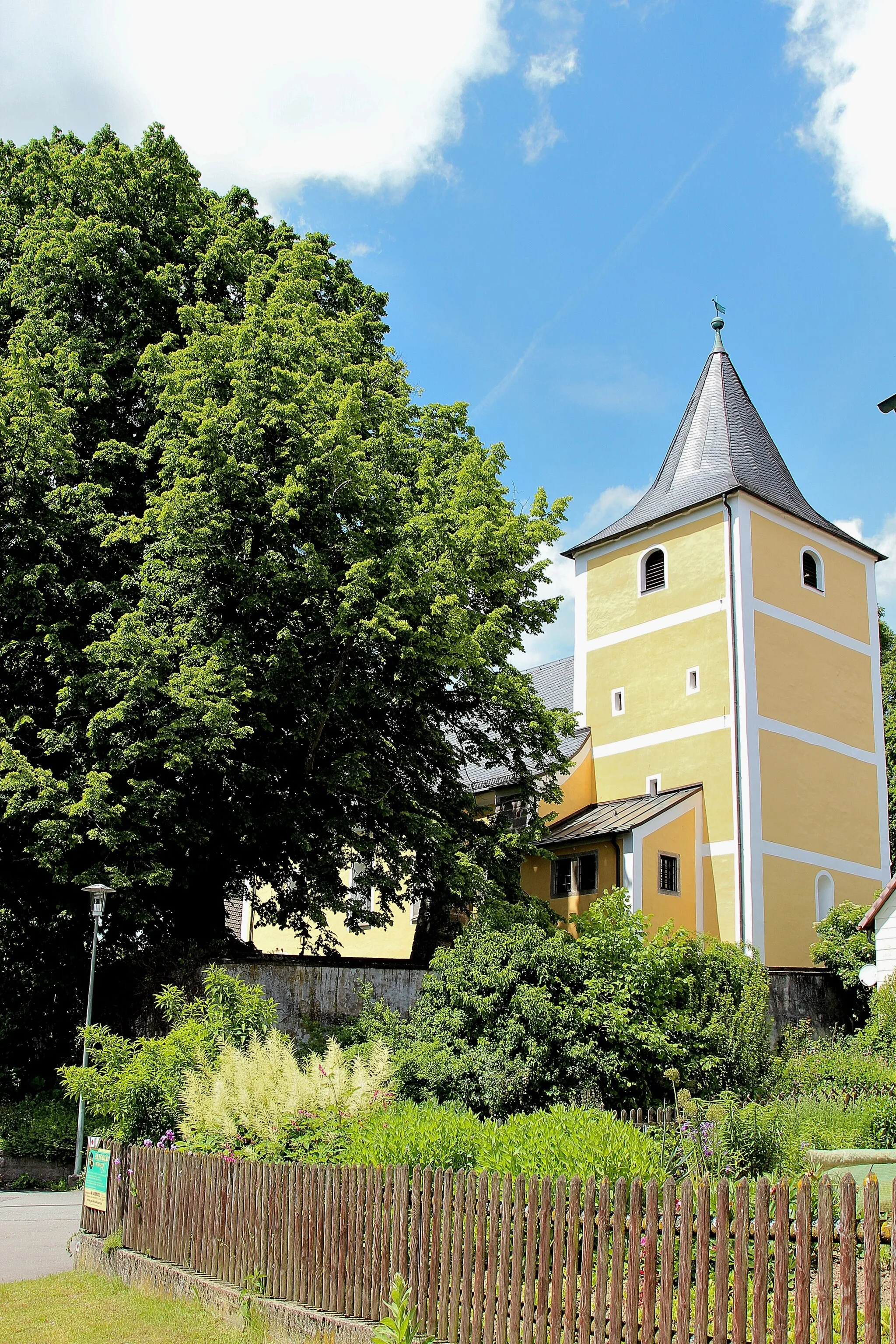
Lázně KynžvartVillageIndulge in the wellness and relaxation at Louch at Lázně Kynžvart, located at the 78th kilometer mark.
89 km
89 km
TrstěniceVillageTrstěnice, found at the 89th kilometer mark, is a picturesque village renowned for its historical architecture and idyllic scenery.
99 km
99 km
Obecni les642 mPeakObecni les, situated at the 99th kilometer mark, invites cyclists to explore its lush forested landscapes and refreshing outdoor environment.
110 km
110 km
Branka675 mVillageAt the 110th kilometer mark, Branka offers a serene setting with its verdant meadows and traditional Czech farmhouses.
115 km
115 km
Steinberg802 mPeakDiscover the enchanting landscapes of Steinberg at the end of the route, featuring stunning viewpoints and tranquility.
118 km
118 km
Finish: Bärnau City centerBärnau: Exploring the picturesque landscapes of Oberpfalz by bike.
Cycling routes nearby: