Scenic Gravel Loop
A gravel cycling route starting from Barnau
Discover the tranquility of nature on this scenic gravel loop near Bärnau.
Map
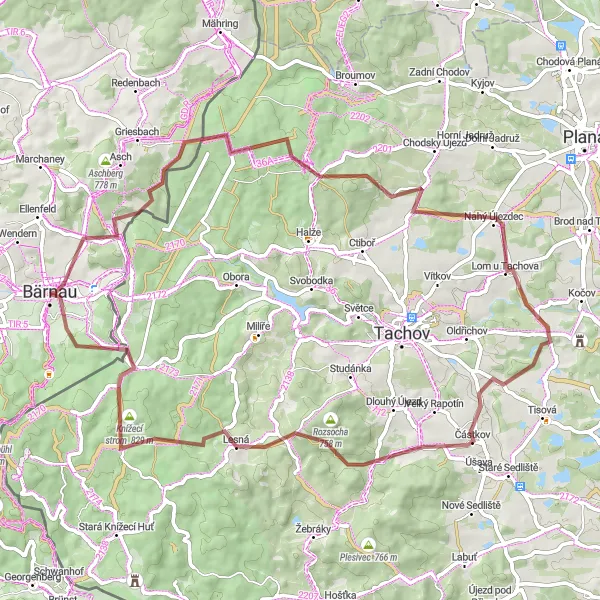
Embark on this 66 km gravel ride with an ascent of 1176 m, showcasing the natural beauty of the Oberpfalz region. Pedal through serene forests, serene villages, and rolling hills as you enjoy the peaceful surroundings.
gravel
66 km
1176 m
Tough
Route profile
Highlights on the route
0 km
0 km
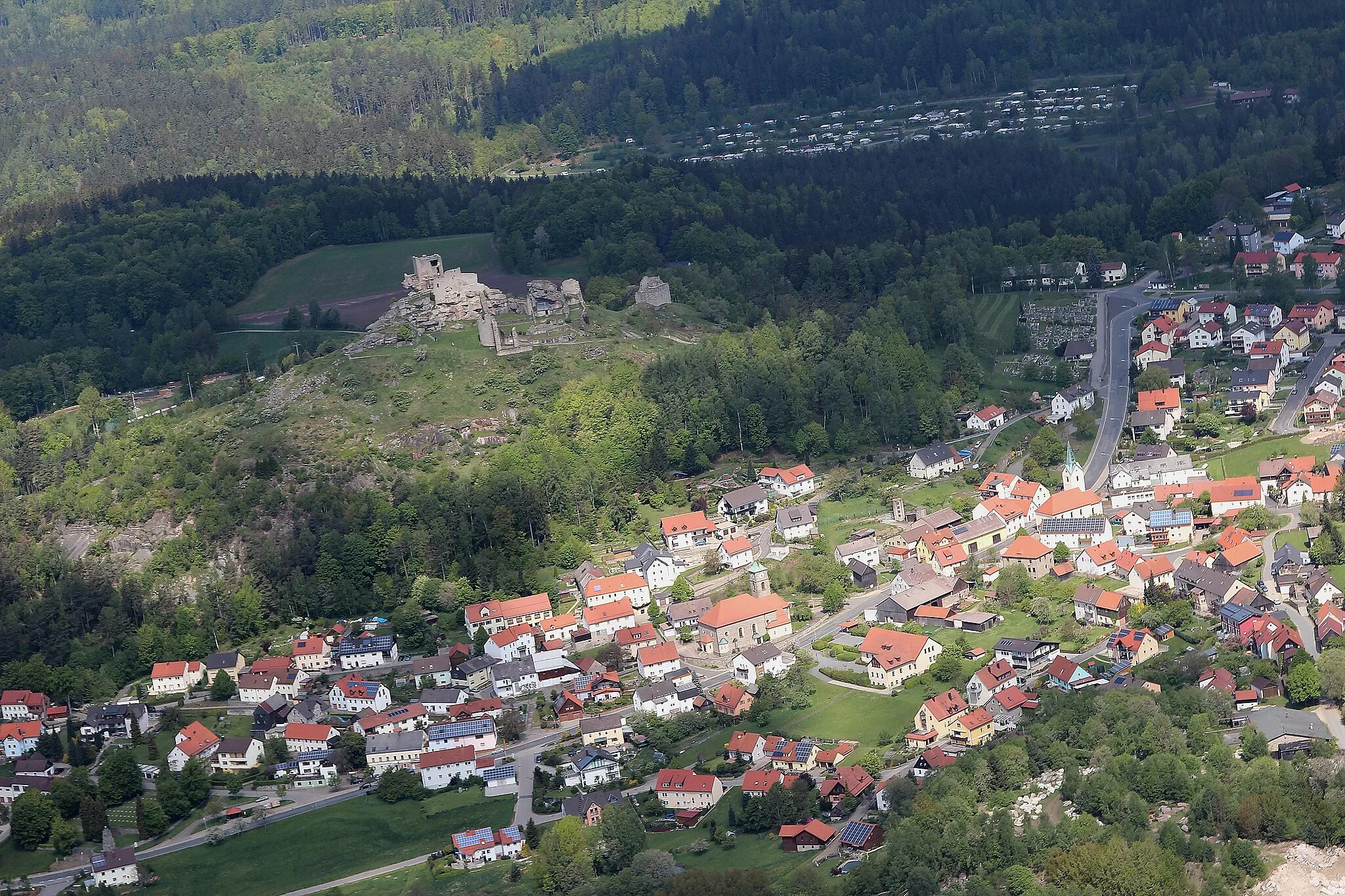
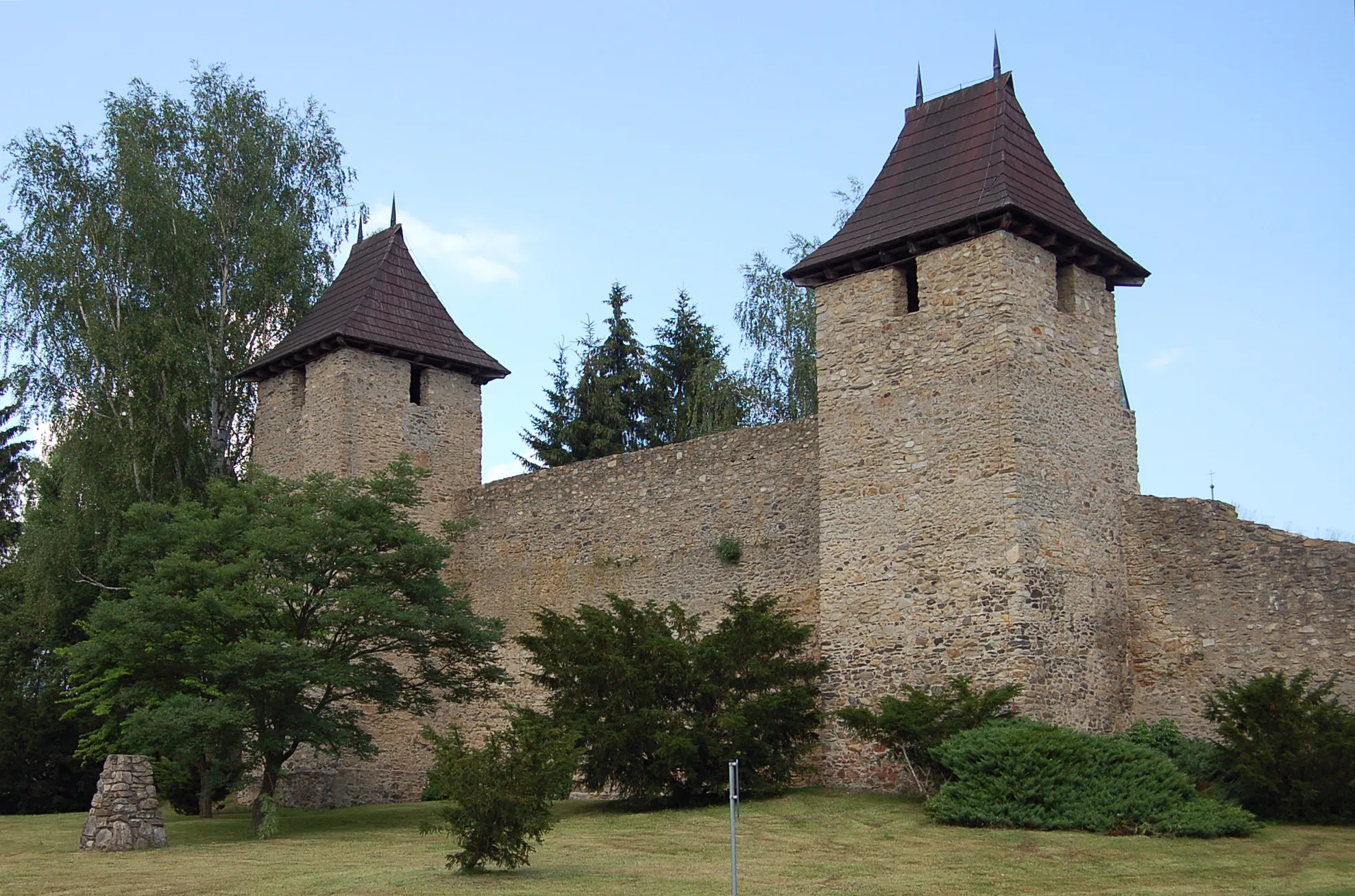
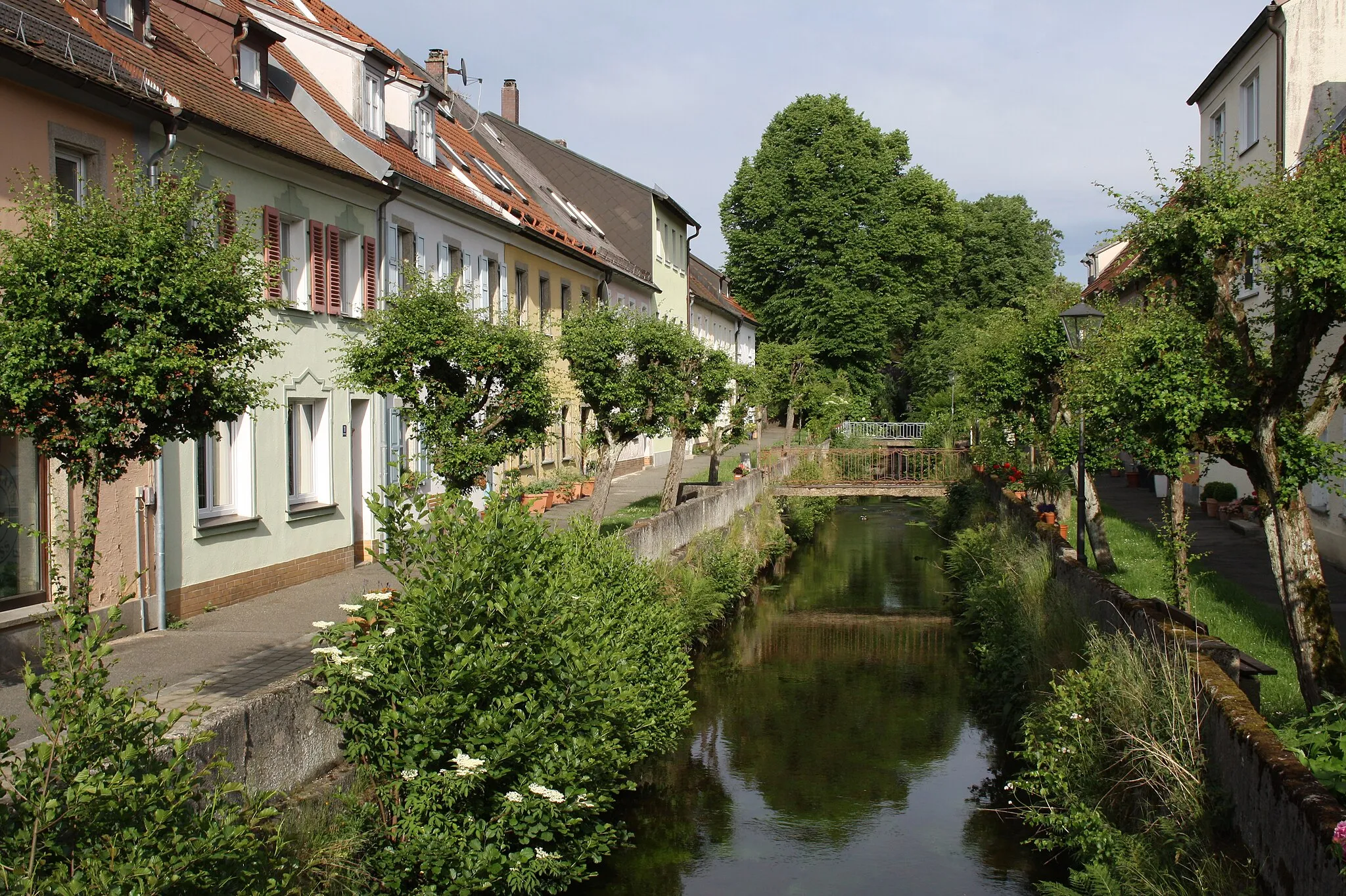
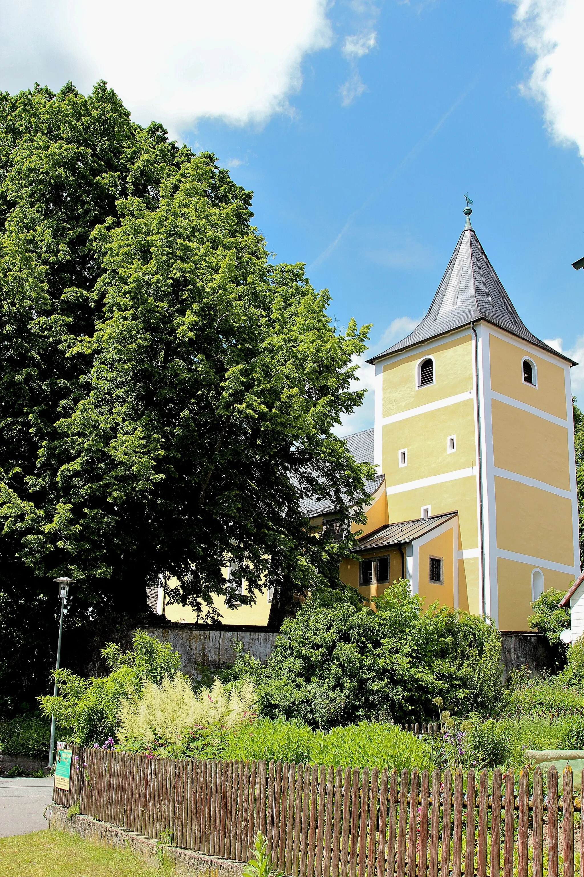
Start: Bärnau City centerBärnau: Exploring the picturesque landscapes of Oberpfalz by bike.
Bärnau is a locality located in Oberpfalz, Germany. From a cyclist's perspective, Bärnau offers a mix of rural and village cycling experiences. The locality is surrounded by picturesque landscapes, making it a pleasant destination for road and gravel cyclists. Bärnau is also close to well-known cycling routes, such as the Goldsteig, an extensive long-distance hiking trail that is accessible for cyclists. While Bärnau may not have any famous cycling spots or climbs directly in the locality, it serves as a starting point for exploring the natural beauty of Oberpfalz. Overall, Bärnau receives a rank of 3, making it a decent spot for cyclists.0 km
0 km
BärnauTownStart your journey in Bärnau and explore its charming Bavarian architecture and captivating history.
8 km
8 km
Oltar710 mPeakOltar, situated at the 8th kilometer mark, offers a peaceful ambience and stunning views of the surrounding countryside.
13 km
13 km
Tisina786 mPeakAt the 13th kilometer mark, Tisina offers cyclists an opportunity to immerse themselves in nature through its beautiful hiking trails.
20 km
20 km
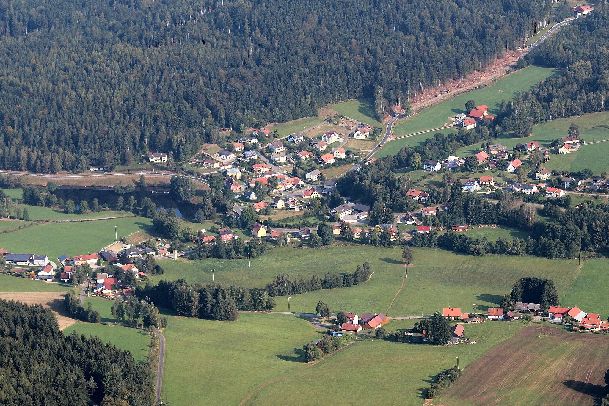
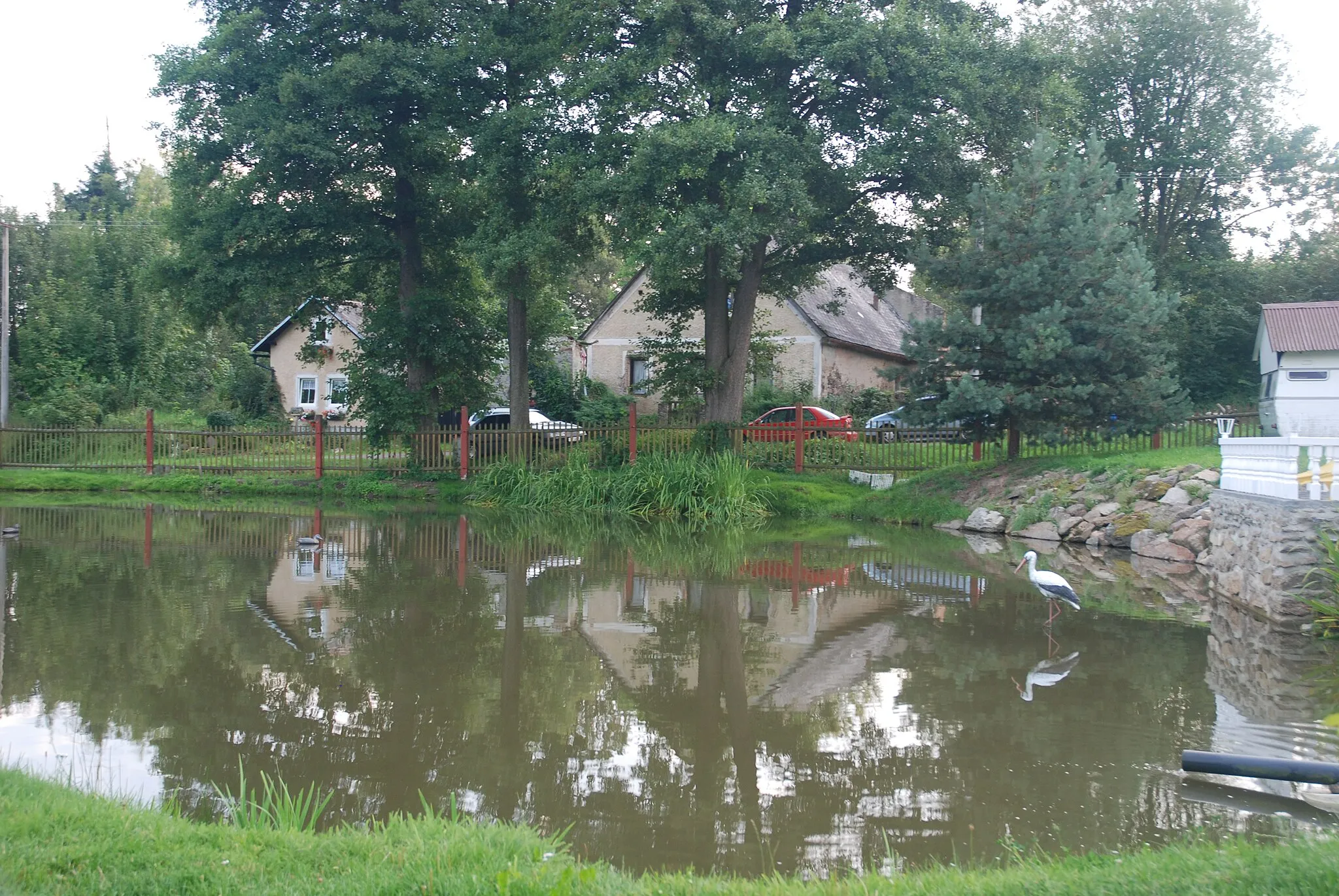
ŠtokovHamletLocated at the 20th kilometer mark, Štokov village offers a picturesque landscape and the chance to experience local Czech culture.
29 km
29 km
Lom u TachovaVillageLom u Tachova, situated at the 29th kilometer mark, is known for its charming countryside and preserved historical buildings.
36 km
36 km
TrnováVillageAt the 36th kilometer mark lies Trnová, a quaint village surrounded by lush greenery and natural beauty.
47 km
47 km
Rozsocha758 mPeakDiscover the natural wonders of Rozsocha, located at the 47th kilometer mark, through its scenic hiking trails and forested landscapes.
58 km
58 km
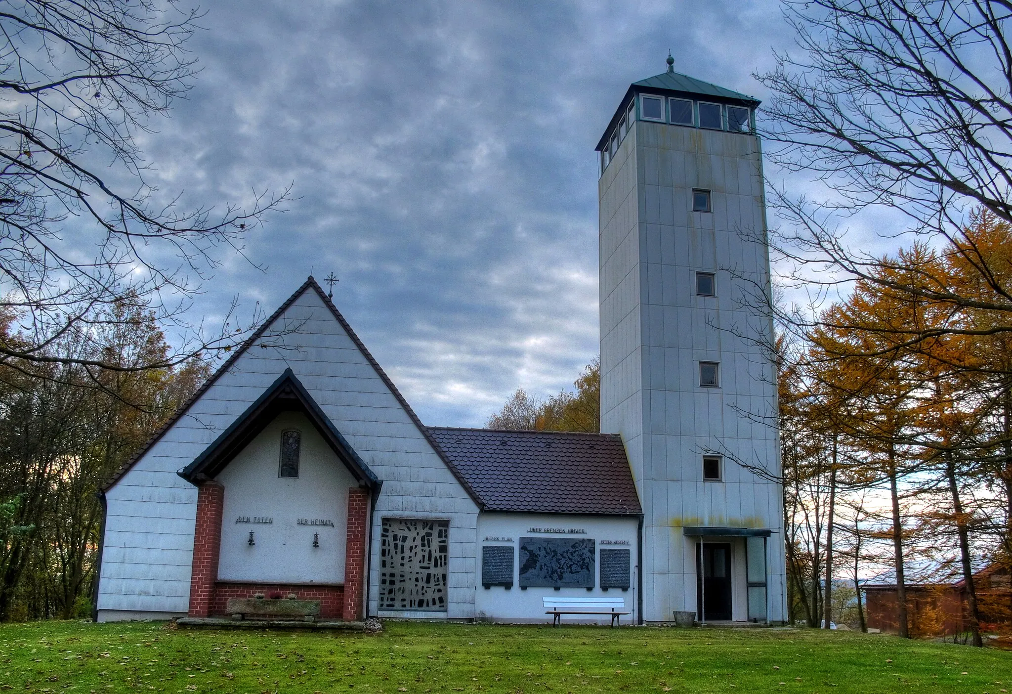
Knížecí strom829 mPeakKnížecí strom, found at the 58th kilometer mark, is home to a majestic tree with cultural and historical significance.
66 km
66 km
Finish: Bärnau City centerBärnau: Exploring the picturesque landscapes of Oberpfalz by bike.
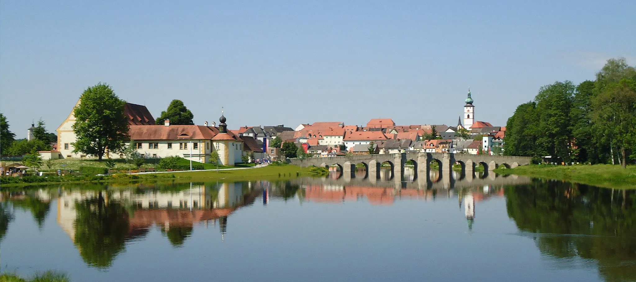
Cycling routes nearby: